ADVERTISEMENT
Unforgettable Northern England Walks for Every Hiker
Explore the variety of the North on foot with my comprehensive guide to a collection of Northern England walks. Northern England covers a huge sweep of country, reaching from the Scottish border in the north to the edge of the Midlands in the south, and from the Irish Sea in the west to the North Sea in the east. Much of what you see today was shaped during the last ice age, when great sheets of ice ground their way across the land, carving out valleys, rounding off the hills and leaving behind the moors, dales and river valleys that make the region such rewarding walking country.
Great walking is not limited to the national parks and Areas of Outstanding Natural Beauty (AONBs). This part of the site brings together the routes in Northern England that start from, or run mainly or wholly through, the countryside beyond those protected areas. They take in market towns, ancient abbeys, ruined castles, quiet riverside paths and open moorland, and they show that you don’t need a national park boundary to enjoy a memorable day out.
Below, I highlight three of my favourite Northern England walks, each showing a different side of the region. These are just a taste of the routes available, with the full list detailed further down the page.
ADVERTISEMENT
Northern England Walks: My Three Favourites
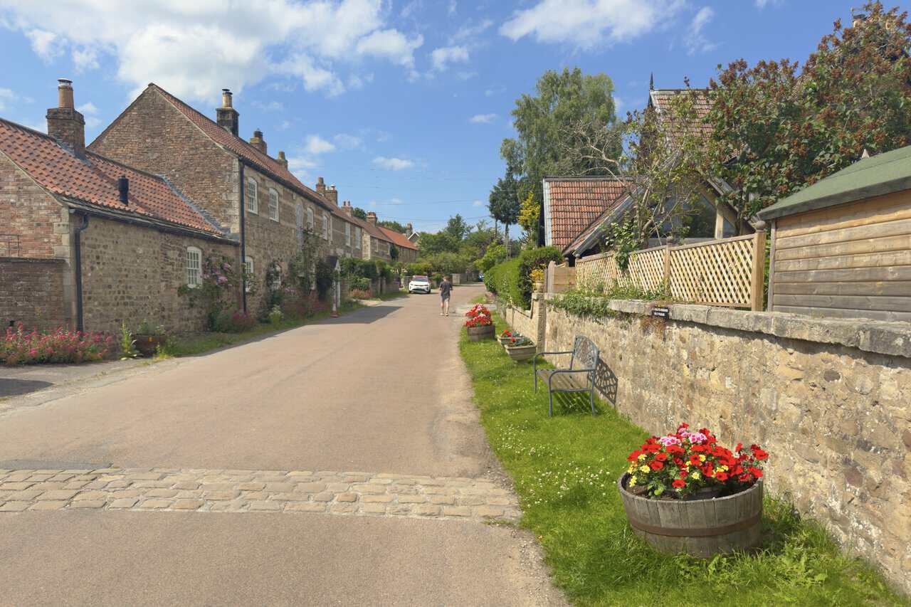
My first pick, the Leyburn Shawl walk, is an 11-mile circular route that starts and ends in the market town of Leyburn. The outward leg follows the Shawl itself, a long limestone terrace that runs west above Wensleydale with wide views across the valley, before reaching the village of Preston-under-Scar. From there the path continues to Bolton Castle, the well-preserved 14th-century fortress where Mary, Queen of Scots was once held, then loops back through Redmire and West Wood. The return passes Bolton Hall and crosses Wensley Park to the village of Wensley, with its 13th-century church, before an easy final stretch back into Leyburn. It’s a walk that combines a handsome market town, a fine castle and a string of quiet Wensleydale villages.
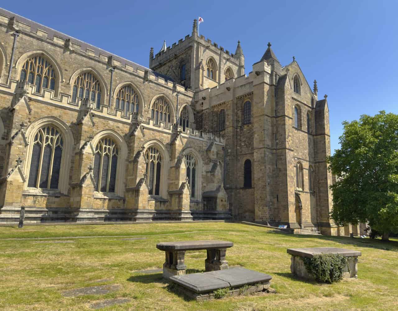
My second pick, the Ripon walk, is a 10¼-mile circuit that begins and ends at Ripon Cathedral, in the smallest cathedral city in Yorkshire. From the cathedral the route drops to the River Skell and follows it out through Hell Wath Nature Reserve, once part of one of the largest army camps in the country, before crossing quiet farmland into the Studley Royal estate. It then winds up the Seven Bridges Valley, where old stone bridges carry the path over the Skell beneath the folly known as the Devil’s Chimney. Beyond The Lake it climbs across parkland, passing close to Fountains Abbey, glimpsed through the trees, then loops back through the deer park past St Mary’s Church and down the long straight avenue that lines up with Ripon Cathedral on the skyline. A final stretch through the village of Studley Roger and back along the Skell completes a walk that packs in a World Heritage Site, a wartime story and miles of quiet riverside.
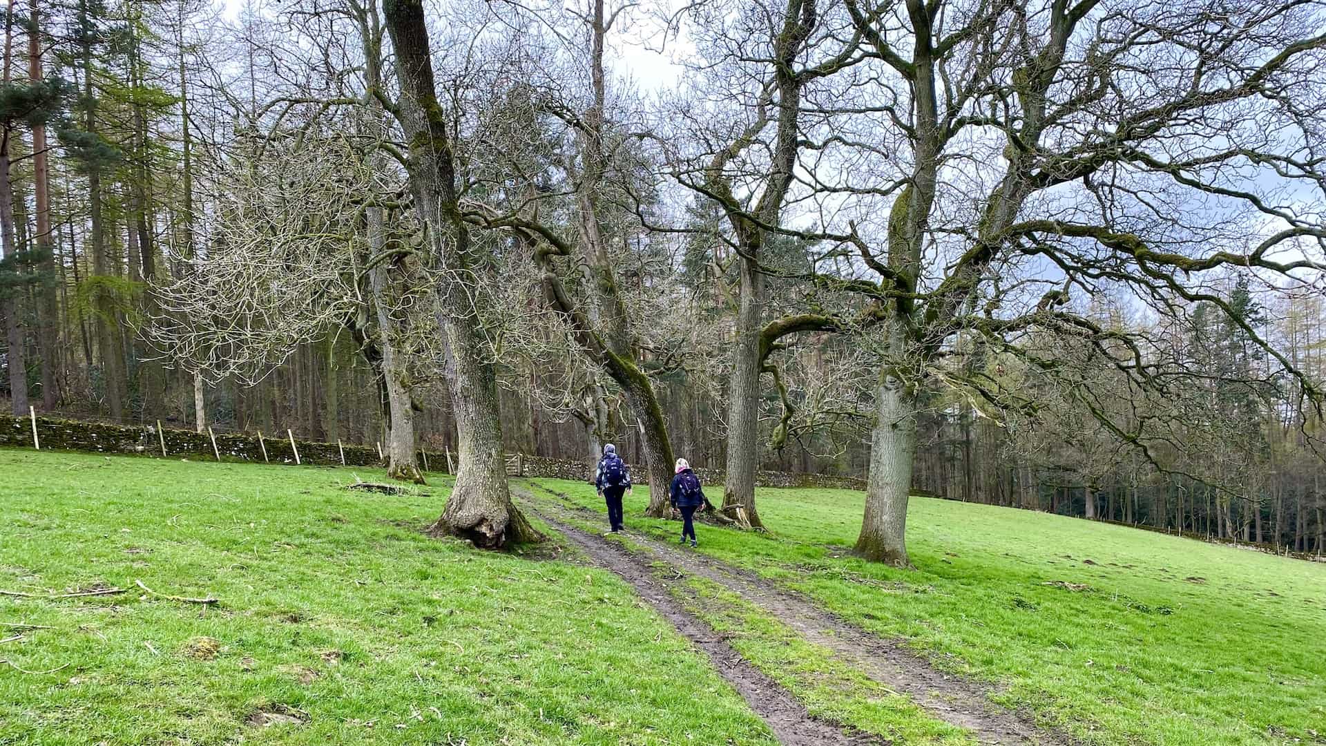
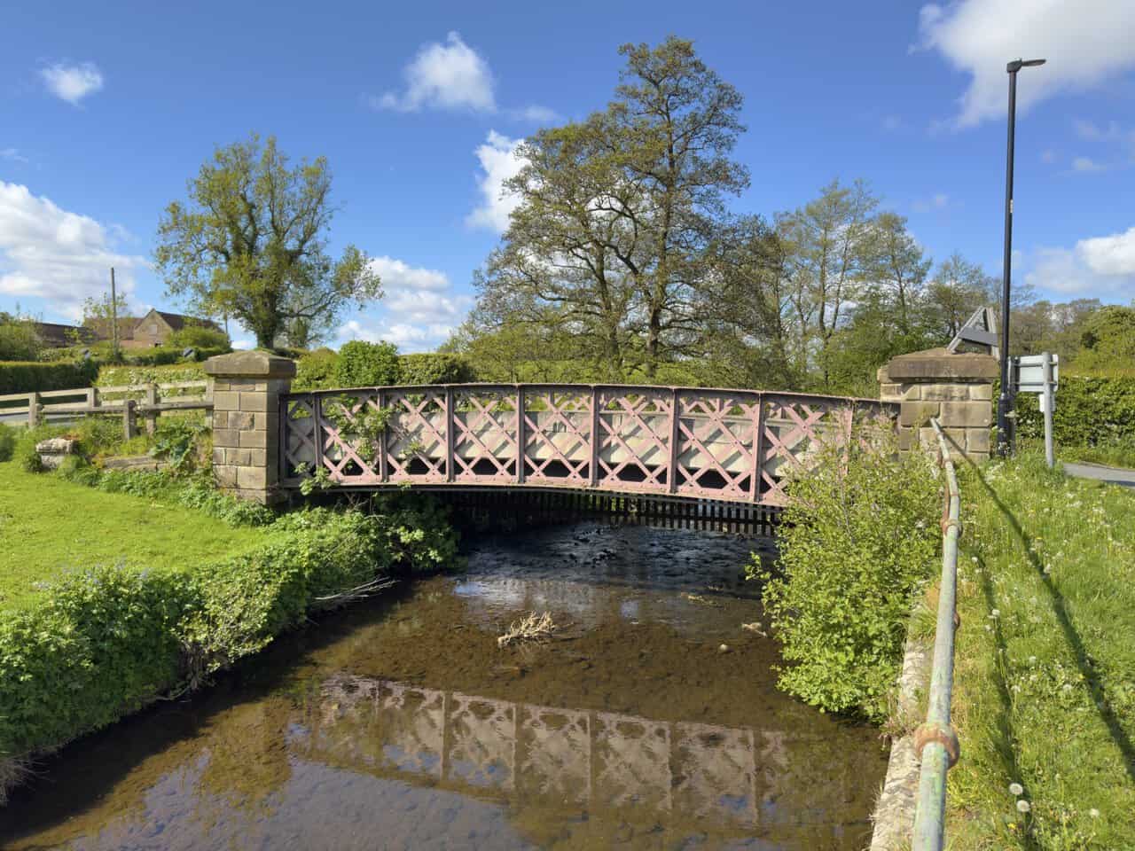
Rounding off my top three is the Great Ayton walk, a 9¼-mile circular route from the village of Great Ayton, on the north-western edge of the North York Moors and the boyhood home of Captain James Cook. Leaving the village green along Station Road, the walk passes the fine iron footbridge over the River Leven and climbs steadily through woodland and farmland onto the open moor. It crosses the heather of Percy Cross Rigg and Hutton Moor, with wide views north to Highcliff Nab and the North Sea, then follows the Cleveland Way out to Hanging Stone, a dramatic sandstone outcrop above the escarpment. From there the path drops past Little Roseberry, with Roseberry Topping rising ahead, down to Aireyholme Farm, where Cook’s father once worked, and on through Cliff Ridge Wood, at its best when the bluebells are out. The fields of Rye Hill lead back to the village, rounding off a rewarding mix of woodland, high moorland and big coastal views.
Each of these Northern England walks offers something different, from castle and abbey to moorland and monument. As you explore the full list below, you’ll find plenty more to enjoy across this varied and often overlooked corner of the country.
Embark on Northern England’s Scenic Walks
Appleton-le-Moors: Walk from Sinnington Village by Way of Cropton
6.9 miles | 11.0 kilometres | 3¼ hours
Fountains Abbey Circular Walk: Studley Royal and the River Skell
6.0 miles | 9.6 kilometres | 2¾ hours
Fountains Abbey Walk: Deer Park and the Seven Bridges Valley
4.5 miles | 7.3 kilometres | 2 hours
Great Ayton Walk: Hutton Moor and Hanging Stone Circular Route
9.2 miles | 14.7 kilometres | 4½ hours
Leyburn Shawl Walk: Visit Bolton Castle and Wensleydale Villages
11.1 miles | 17.9 kilometres | 5 hours
Leyburn Shawl: Walk and Explore Preston-under-Scar and Wensley
6.7 miles | 10.7 kilometres | 3¼ hours
North Yorkshire Walk: Middleham to East Witton via Jervaulx Park
12.1 miles | 19.5 kilometres | 5½ hours
Richmond Walk: Riverside Circuit via Applegarth and Easby Abbey
9.2 miles | 14.8 kilometres | 4¼ hours
Ripon Walk: Circular Route to Studley Royal and Fountains Abbey
10.3 miles | 16.6 kilometres | 4½ hours
Skipton Walk: Sharp Haw, Rough Haw and a Canal Towpath Return
11.7 miles | 18.8 kilometres | 5½ hours
Tupgill Park: Walk Linking Wensley, Middleham and West Witton
11.3 miles | 18.1 kilometres | 5 hours
Wensleydale Walk: Discover Redmire Force in the Yorkshire Dales
9.2 miles | 14.8 kilometres | 4¼ hours
West Tanfield Walk: Marmion Tower and River Ure Circular Route
8.3 miles | 13.3 kilometres | 3½ hours
About Northern England
Northern England, often known simply as the North, is the northern third of the country and one of its most varied regions. For official purposes it is made up of three areas, the North East, the North West, and Yorkshire and the Humber, with a combined population of more than 15 million and a long list of historic counties that includes Cumberland, Northumberland, Westmorland, Durham, Lancashire, Yorkshire and Cheshire. Its northern edge is the border with Scotland, its western shore the Irish Sea, and its eastern coast the North Sea.
For walkers, the appeal of the North lies in its sheer range of landscapes. Within a short drive you can move from high moorland to wooded river valley, from limestone dale to rugged coast, and from open fell to gentle farmland. Five of England’s ten national parks lie in the North, but so does a great deal of fine countryside beyond their boundaries, and it is this quieter, less-walked country that many of my Northern England walks set out to explore.

ADVERTISEMENT
Geography and Landscape
Running through the heart of the region is the range of hills known as the Pennines, often called the backbone of England. This upland chain stretches south to north from the Peak District to the Cheviot Hills on the Scottish border, and its slopes are cut by the many dales that give the Yorkshire Dales and the North Pennines their character. To the west lie the mountains of the Lake District, home to Scafell Pike, the highest peak in England, along with Windermere, its largest lake, and Wastwater, its deepest. To the east, the North York Moors carry some of the largest expanses of heather moorland in the country down to a dramatic North Sea coast.
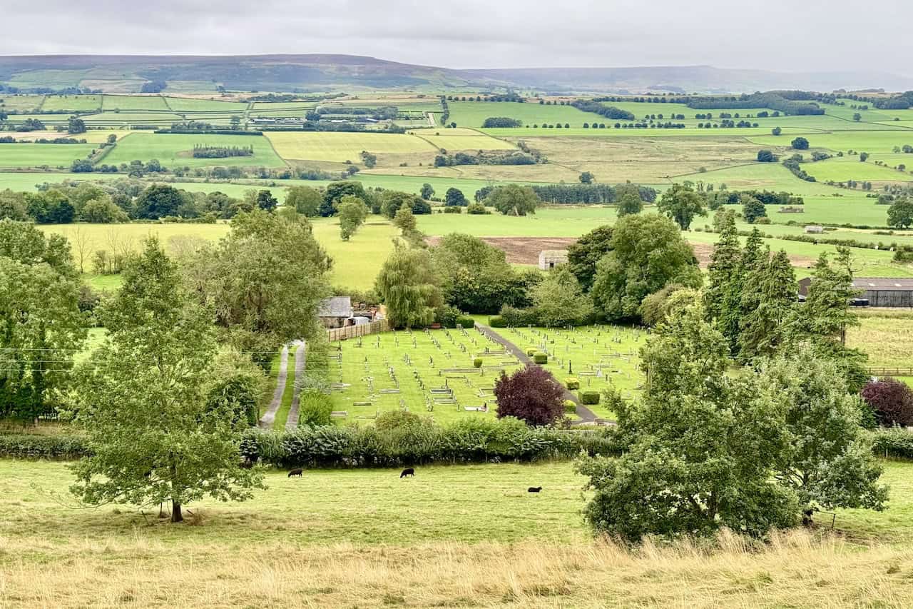
Between these uplands lie broad lowland vales, such as the Vale of York and the Vale of Eden, along with rolling farmland, wooded valleys and long stretches of coast on both the Irish Sea and the North Sea. This constant change of scene is one of the great pleasures of Northern England walks. A single route can lead from a riverside meadow up onto open moor, past a ruined abbey or castle and back through a stone-built village, with the view shifting at almost every turn.
ADVERTISEMENT
Geology and the Ice Age
The shape of the northern landscape owes much to the rocks beneath it. Across the Pennines and the Dales, hard bands of Carboniferous limestone and gritstone form the scars, pavements and flat-topped hills that walkers know so well, while seams of coal in the lower ground fed the industries that later grew up around them. Further north, a sheet of hard volcanic rock called the Whin Sill breaks through the surface to create some of the region’s boldest features, from the crag that carries Hadrian’s Wall to the great waterfall of High Force. In the Lake District, older and harder volcanic rocks give the fells their steep and craggy profiles.
Over this ancient foundation the ice ages left their mark. During the last glaciation, which reached its height around 20,000 years ago, ice up to a kilometre thick covered much of the North. As it flowed across the land it deepened and widened the valleys, rounded off the hills and scattered clay, gravel and boulders across the ground. When the ice finally melted, its meltwater carved new channels and left behind the low mounds and ridges that still shape the floors of many dales. The result is the landscape we walk through today, a countryside quite literally moulded by ice.
Wildlife and Nature
The variety of habitats across the North supports a rich array of wildlife, and there is plenty to look out for on my Northern England walks. On the high moors, ground-nesting birds such as curlew, lapwing, golden plover and red grouse breed among the heather, while buzzards and the occasional peregrine or red kite wheel overhead. In the dales, the flower-rich hay meadows can be at their most colourful in early summer, and along the rivers and becks walkers may spot dippers, grey wagtails and herons, with the flash of a kingfisher on quieter stretches.
The woodlands, hedgerows and farmland that link these uplands are home to a wide range of smaller birds and mammals, and the coasts add seabirds, seals and rock-pool life to the mix. Away from the towns and main roads, much of the North enjoys genuinely dark skies, and on a clear night the lack of light pollution makes it one of the best parts of England for watching the stars.
Walking Routes and Trails
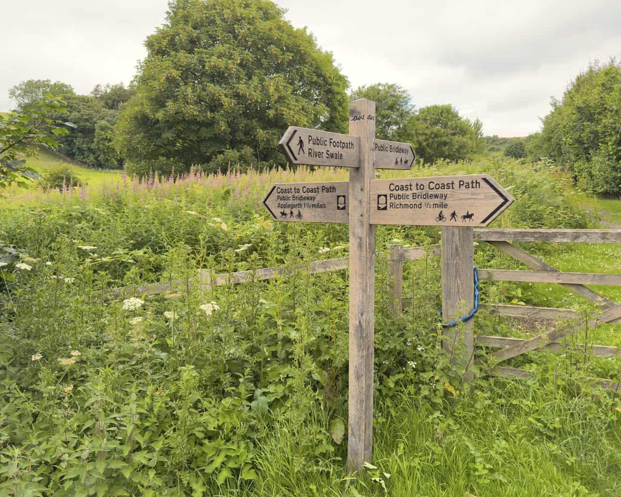
The North is the birthplace of long-distance walking in England, and its network of trails is among the finest in the country. The Pennine Way, opened in 1965 as the nation’s first National Trail, runs for 268 miles along the spine of the country from the Peak District to the Scottish border, taking in some of the wildest ground in England. Alfred Wainwright’s celebrated Coast to Coast route crosses the region from St Bees on the Irish Sea to Robin Hood’s Bay on the North Sea, linking three national parks along the way.
There is far more besides. Hadrian’s Wall Path follows the line of the Roman frontier for 84 miles from coast to coast, while the Cleveland Way traces a horseshoe around the North York Moors and down to the sea, and the Dales Way winds through the valleys from Ilkley to Windermere. Many of my Northern England walks make use of short stretches of these trails as part of a circular day. Alongside these famous names lies a dense web of footpaths, bridleways, old packhorse tracks and disused railway lines, which makes it easy to piece together rewarding circular walks in almost any corner of the region, including the quieter areas away from the parks that this section of the site sets out to cover.
History and Heritage
Few parts of England carry as much history as the North. Almost 2,000 years ago it marked the edge of the Roman Empire, a frontier still traced today by Hadrian’s Wall. In the centuries that followed, the kingdom of Northumbria became a great centre of learning and art, producing scholars such as the Venerable Bede and treasures such as the Lindisfarne Gospels. Later came the Vikings, who made York the capital of a northern kingdom and left their language stamped on the region’s place names to this day.
The Norman conquest brought castles and, after a brutal campaign known as the Harrying of the North, a long period of rebuilding in which the great monasteries flourished. Later still, the North became the workshop of the world. The Industrial Revolution took root in its coalfields, cotton mills and steelworks, its shipyards and its railways, and the wealth and hardship of those years shaped the towns and cities we know today. This deep layering of the past, from Roman fort to abbey ruin to mill chimney, gives these Northern England walks much of their interest.

Market Towns, Abbeys and Castles
Many of my Northern England walks begin in the historic market towns that dot the countryside. Richmond, with its Norman castle above the River Swale and its cobbled marketplace, sits close to the ruins of Easby Abbey. Ripon, one of the smallest cathedral cities in England, stands only a few miles from Fountains Abbey and the water garden of Studley Royal, together a World Heritage Site. Nearby Leyburn and Middleham guard the approach to Wensleydale, the latter with its own great castle and a long tradition of training racehorses on the surrounding moors.
Scattered through the same countryside are the abbeys and castles that give so many of these routes their focus. The Cistercian houses of Fountains and Jervaulx, the fortress of Bolton Castle and the monument to Captain Cook above Great Ayton all feature on walks in this collection. Reaching them on foot, through fields, woods and along quiet riverbanks, is one of the real rewards of walking in Northern England, and a reminder that some of the region’s finest days out lie well beyond the national park signs.