ADVERTISEMENT
The Two Summits of Flasby Fell Give This Skipton Walk Its Finest Views
Start your Skipton walk in the town centre at Coach Street Car Park, a North Yorkshire Council pay and display car park. Leave by the steps on the northern side, roughly opposite St Stephen’s Catholic Primary School and Nursery. Use the pedestrian crossing to reach the other side of Gargrave Road, then turn right towards the mini roundabout. Go straight ahead at the roundabout onto Water Street, following the road signposted to Grassington.
Follow Water Street to the T-junction with the B6265 Raikes Road at Mill Bridge. Rather than turning left or right, cross straight over onto Chapel Hill. Climb the hill between High Corn Mill on your right and the Curious Fox restaurant, bar and hotel on your left. Halfway up, just after The Old Chapel, take the public footpath on your left, waymarked as both the Dales High Way and Lady Anne’s Way. Cross a stile and carry on up a grassy path across the fields of Park Hill.
Keep heading north across Park Hill and then down to the A65. Cross the road and take the footpath opposite, keeping to Lady Anne’s Way as it continues north. The path crosses Skipton Golf Club, where yellow directional arrows and yellow-capped posts mark the line to follow. Continue straight ahead for half a mile, ignoring any side paths, until you reach the minor road called Brackenley Lane. The Dales High Way and Lady Anne’s Way run together along this whole stretch.
Turn left along Brackenley Lane and follow it to the B6265 Grassington Road. Cross over and take the footpath opposite, staying on the Dales High Way. Ahead and slightly to your right you can now pick out the two side-by-side hills of Flasby Fell that you are aiming for, the pointed Sharp Haw on the left and the more rounded Rough Haw on the right. Carry on along the grassy path for about a third of a mile to a bend on a narrow road called Bog Lane.
ADVERTISEMENT
Go straight ahead here, still following the Dales High Way, and follow the road around two more bends. At the third bend leave the road on the public bridleway signposted to Flasby. This begins as a wide stony track. Keep left at the first fork, then soon afterwards leave the stony track for a grassy public bridleway on the right, signed public bridleway and Dales High Way. Follow it along the fence line to a gate, then go straight ahead onto the open fell.
With both hills in front of you, head first for the summit of Sharp Haw. From here you follow the line of the Dales High Way rather than the official public bridleway shown on OS maps, and at this point you are about a quarter of the way round your Skipton walk. The path on the ground is well defined and crosses a wooden footbridge along the way. Continue for over three quarters of a mile to reach the summit of Sharp Haw.
From the trig point, take the narrow path on the right-hand side back down the hill, now heading towards Rough Haw. Follow the grassy path down to a signposted bridleway and carry on straight ahead, dropping down towards the dry stone wall. Go through the gate in the wall. Climbing Rough Haw is well worth it but optional. If you fancy the top, a narrow path straight ahead leads steeply up to the cairn, from where you retrace your steps to the bridleway. Otherwise bear left and follow the bridleway around the left-hand side of the hill, dropping down with the boulder-strewn slopes of Rough Haw above you on the right. Blue-topped wooden posts show the way.
Leave Flasby Fell and follow the blue waymarker arrows of the bridleway across a large field. In the left-hand corner you meet a wide stone track. As this track bears round to the left, keep straight ahead on a narrower path beside a small area of woodland. Leave the woodland and continue straight towards Flasby, ignoring the left turn to Stirton. After crossing Flasby Beck and joining a tarmac road, turn left at the red post box set in the dry stone wall and follow the track in front of the houses.
ADVERTISEMENT
Just after a bungalow called Tenter Ghyll, turn right onto the public footpath signed to Eshton Bridge. Follow it to the top of the grassy bank, turn left and continue beside a wooden fence for almost half a mile to reach Eshton Road. Turn left along the road and cross Eshton Bridge, which marks the halfway point of your Skipton walk. At the junction with the wider road, turn left, signposted to Gargrave, Skipton and Settle.
Follow Eshton Road for just under half a mile, almost reaching the edge of Gargrave, then turn left onto a narrow road called Ray Bridge Lane. A sign points the way to Ray Bridge and warns that the bridge is weak. At Ray Bridge, which crosses the Leeds and Liverpool Canal, take the steps on the right down to the canal towpath. Turn right, pass underneath the bridge and follow the towpath with the canal on your left.
From here the towpath carries you all the way back to Skipton. After a third of a mile you pass Holme Bridge Lock beside the A65, staying on the towpath under the bridge. After a further three quarters of a mile you reach Highgate Bridge, a swing bridge, at New Laithe. Another mile brings you to Thorlby Bridge, a second swing bridge, by which point you are about three quarters of the way round your Skipton walk. A further two thirds of a mile takes you beneath the A59, and another half a mile brings you briefly alongside the A6069 at Niffany Viaduct. Keep on the towpath between the road and the canal to reach Niffany Swing Bridge.
Carry on along the towpath, now signposted to Silsden and Skipton, and pass beneath the large concrete bridge that carries the A629 over the canal. A little further along you pass a tall brick chimney. At the next swing bridge, cross the road and carry straight on, signposted Town Centre and Bus Station, then do the same at another swing bridge shortly afterwards. Pass a block of flats and a tall stone chimney.
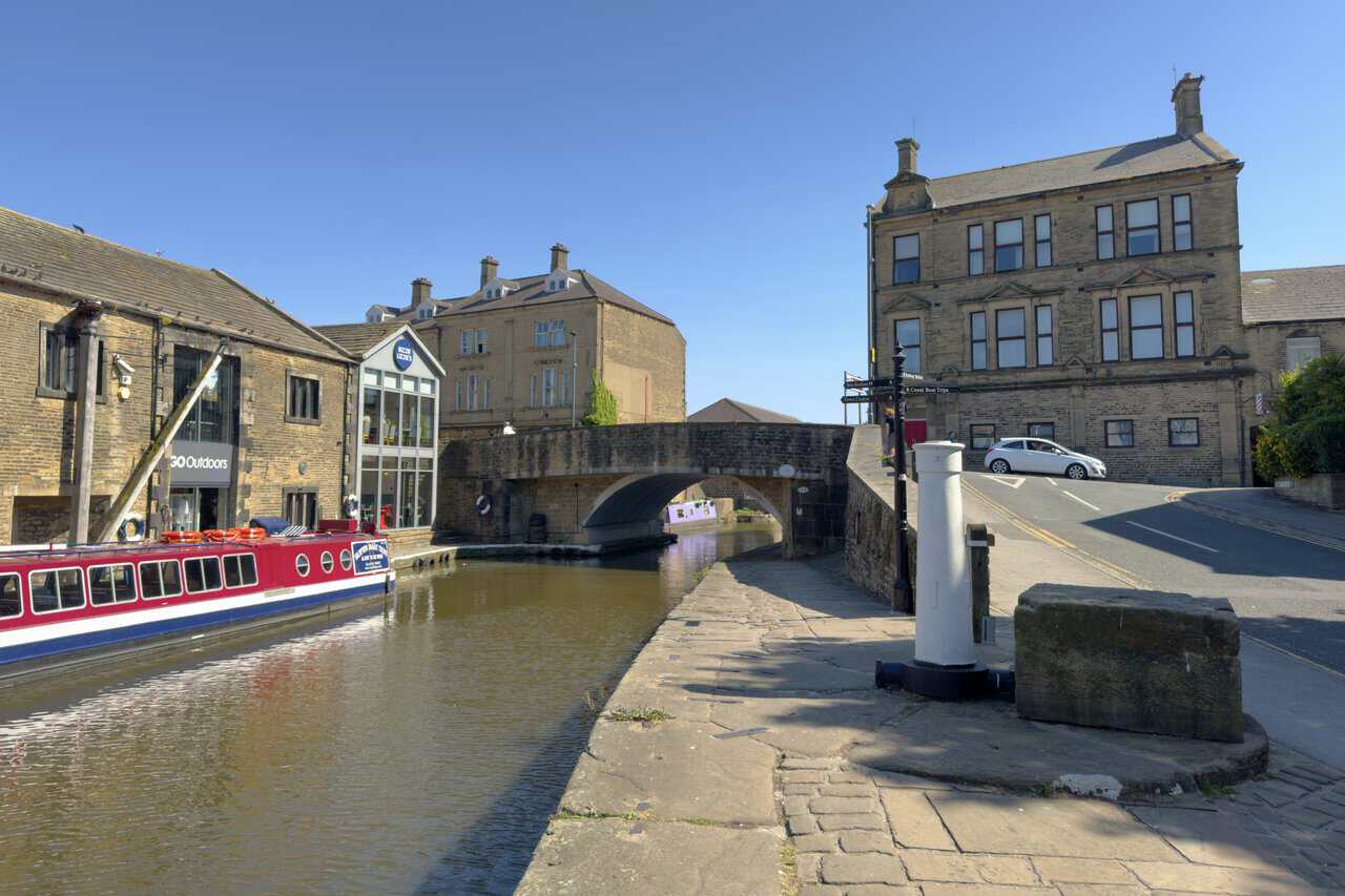
In the town centre, just after the point where the canal meets Eller Beck, climb the steps up onto Belmont Street. Turn left and cross Belmont Bridge, signposted Town Centre and Bus Station, then almost at once turn left onto Coach Street. Follow Coach Street across the bridge over Eller Beck and back to the car park to finish your Skipton walk.
Skipton Walk: Maps and Tools
Visit either the OS Maps website or the Outdooractive website to view this walking route in greater detail. Both platforms offer a range of features, including the ability to print the route, download it to your device, and export the route as a GPX file. You can also watch a 3D fly-over and share the route on social media. Additionally, this page includes a printable version of the walk in PDF format. Plus there is a supporting video, available for you to watch on YouTube.
Skipton Walk: Distance, Duration, Statistics
Distance: 11¾ miles
Distance: 18¾ kilometres
Duration: 5½ hours
Ascent: 1258 feet
Ascent: 383 metres
Type: Circular walk
ADVERTISEMENT
Recommended Ordnance Survey Map
The best map to use on this walk is the Ordnance Survey map of the Yorkshire Dales Southern & Western Area, reference OS Explorer OL2, scale 1:25,000. It clearly displays footpaths, rights of way, open access land and vegetation on the ground, making it ideal for walking, running and hiking. The map can be purchased from Amazon in either a standard, paper version or a weatherproof, laminated version, as shown below.
Standard Version
Yorkshire Dales Walking Guidebooks
Walking in the Yorkshire Dales: South and West, by Jan and Dennis Kelsall, describes 44 circular day walks of 3.5 to 13 miles across Wharfedale, Littondale, Malhamdale, Dentdale and Ribblesdale, plus the Yorkshire Three Peaks Challenge, with Ordnance Survey mapping and notes on parking and refreshments.
Short Walks Yorkshire Dales, by Rachel Crolla and Carl McKeating, covers the area around Grassington, Skipton, Malham and Ilkley. Its 15 routes of 2.5 to 6 miles each take under three hours, ideal for families or a relaxed half day out. Both books can be purchased from Amazon, as shown below.
Walking the Yorkshire Dales
About Skipton
Skipton sits on the River Aire and the Leeds and Liverpool Canal, just south of the Yorkshire Dales, which is how it earned its nickname as the Gateway to the Dales. The town lies around 27 miles north-west of Leeds and had a population of just over 15,000 at the 2021 census. It has appeared repeatedly in lists of the best and happiest places to live in the country, and anyone arriving for a Skipton walk soon sees why, with open country on the doorstep and a busy market town at its centre.
A Short History of Skipton
The name comes from the Old English for sheep and town, a northern form of Shipton, and it appears in the Domesday Book of 1086. Skipton Castle was raised in 1090 as a timber motte and bailey by the Norman baron Robert de Romille, and in the following century William le Gros added a stone keep to hold off attacks from Scotland. The castle turned a poor village into a place worth living in, drawing families to the shelter it offered, and it survives today as one of the most complete medieval castles in England. High Corn Mill, powered by Eller Beck and passed near the start of my Skipton walk, dates from 1310 and once belonged to the Clifford family. Prosperity came from sheep and wool, and in the nineteenth century the canal turned the town into a small mill town with links to the cities.
Related Walk: Similar to the Skipton Walk
Ripon Cathedral to Fountains Abbey on a scenic Ripon walk circular route
Governance
Skipton is part of the Skipton and Ripon parliamentary constituency, created in 1983. The town formed part of Craven District from 1974 until the district was abolished in 2023 and replaced by North Yorkshire Council. Skipton also has its own town council of sixteen members, four from each of the four wards, based upstairs in the Town Hall on the high street, and the councillors choose a mayor each year.
The Local Economy
Trading has gone on here since the town’s earliest days, and a market is still held four days a week on the wide high street where sheep were once sold. Livestock now goes under the hammer at the Auction Mart on the western edge of town, which you pass on the canal section of this Skipton walk. Tourism took over during the twentieth century, helped by the old buildings and the Dales on the doorstep, and the town supports hotels, holiday firms, consultancies and financial and legal services. Skipton Building Society was founded here and remains one of the larger employers, and the chocolate maker Whitakers is also based in the town.
Culture and Events
The high street was voted the best shopping spot in Britain by the Academy of Urbanism in 2008, and the mix of independent shops still gives the place its character. Skipton Sheep Day marks the town’s long association with sheep on the first Sunday in July, and the gala on the second Saturday in June has been running since 1901. The Town Hall stages music, theatre and comedy and houses the Craven Museum and Gallery, and there are two theatres, an independent cinema on Sackville Street and around eighty-five pubs, cafés and restaurants to choose from.
Skipton Walk: My Photos
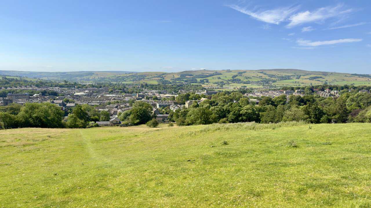
Early into my Skipton walk, the grassy slopes of Park Hill lift me clear of the streets and I turn for a look back. The town lies spread below me, its stone rooftops running out to the fields and moorland edges that rise on the far side of the valley.
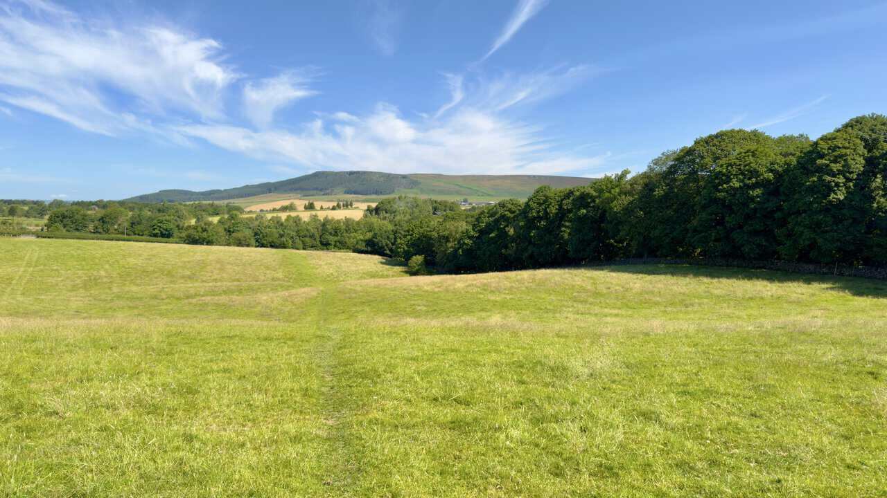
A faint line in the grass carries me on across Park Hill, dropping gently towards the A65. This stretch follows the Dales High Way and Lady Anne’s Way together, the two routes sharing the same path for a while.
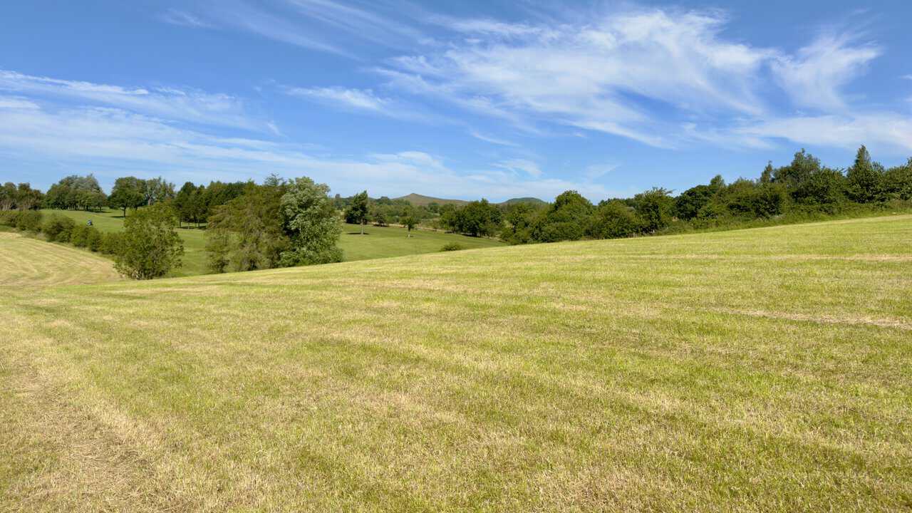
Beyond the road the path takes me across Skipton Golf Club, where the mown fairways drop away to my left. Looking north-west, I get my first sight of the pair of hills I am heading for, the pointed top of Sharp Haw and the rounder shape of Rough Haw beside it.
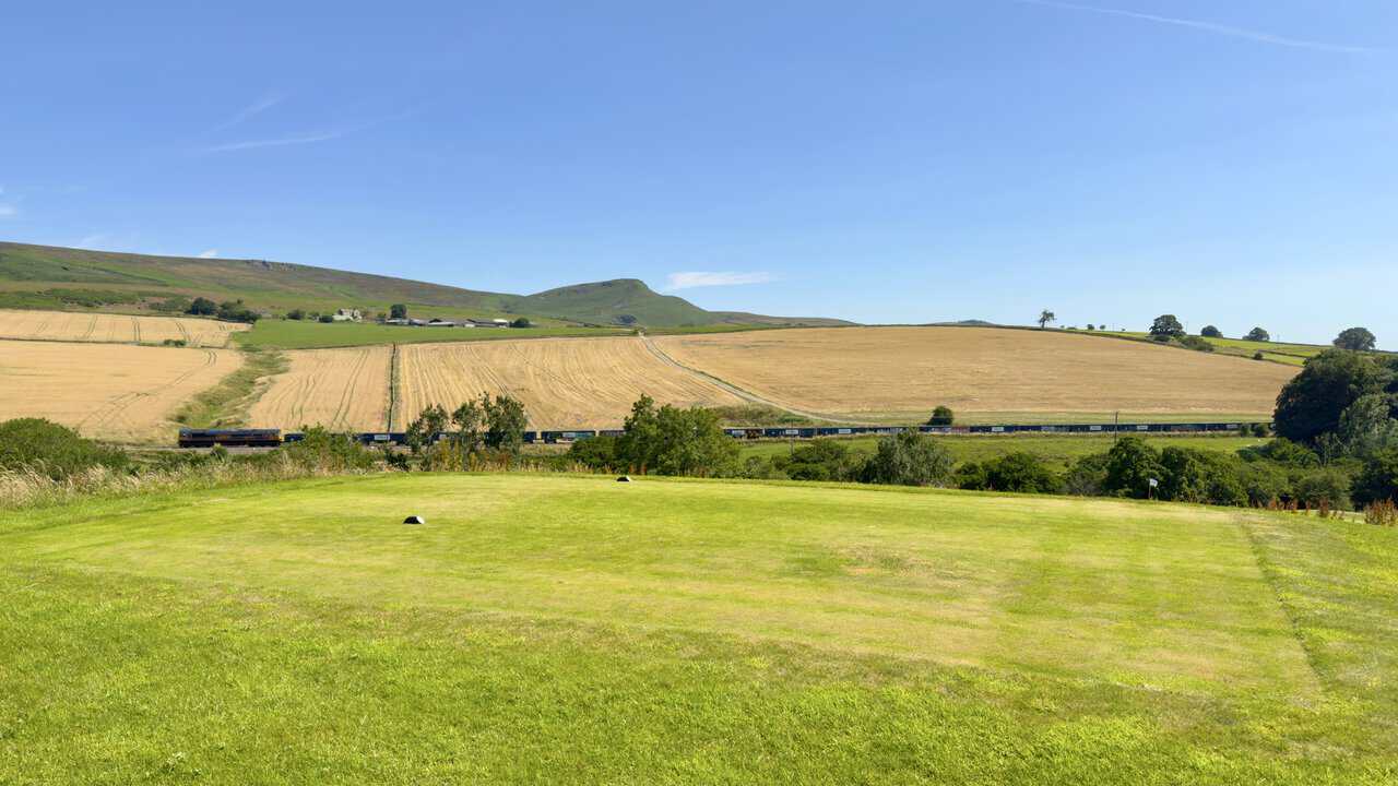
Embsay Crag stands out to the north-east, its gritstone edge breaking the line of Embsay Moor. A long freight train works its way along the railway below, cutting between the stubble fields and the golf course.
From Brackenley Lane the view north-west opens up properly, with Flasby Fell laid out across the middle distance. Sharp Haw and Rough Haw are much clearer now, the two of them sitting above a run of pasture and scattered trees.
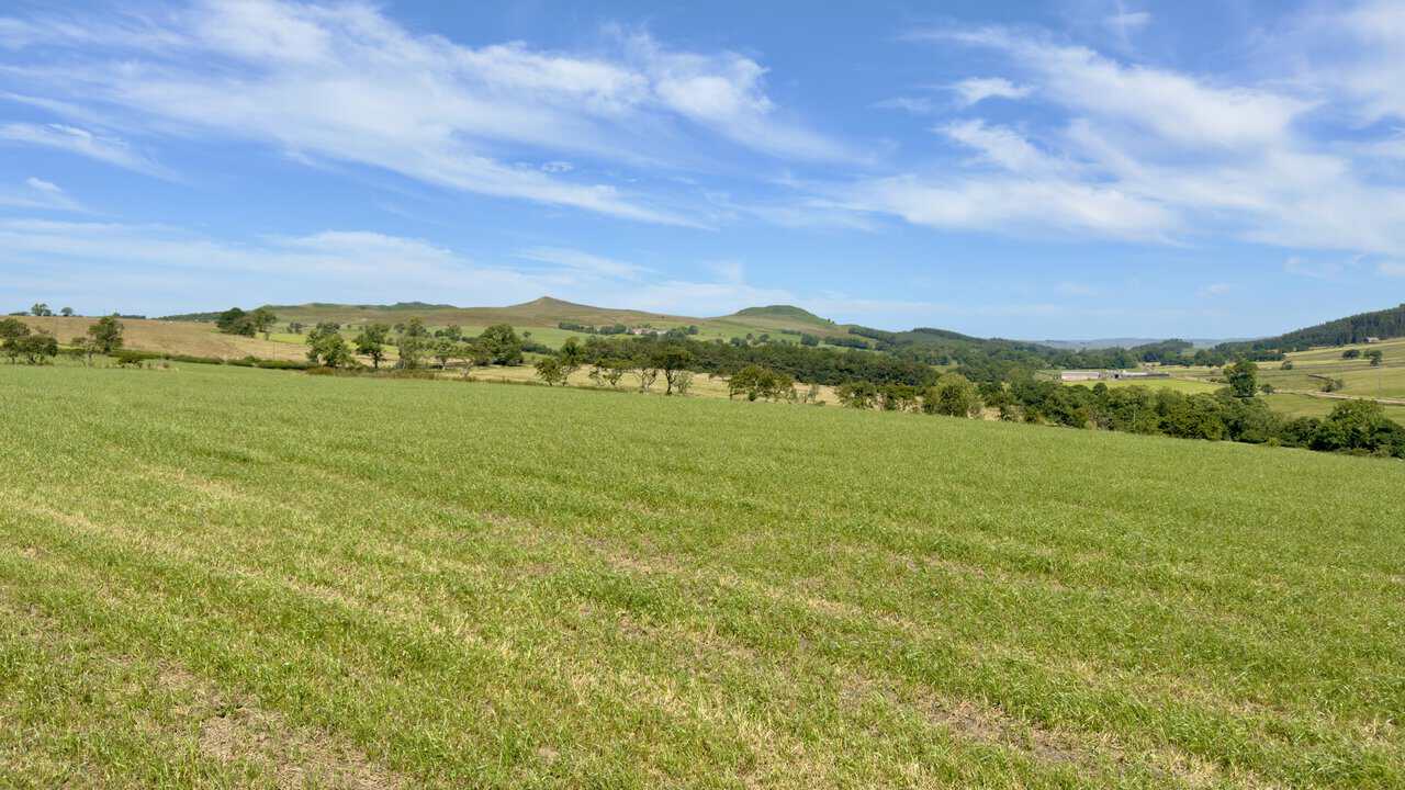
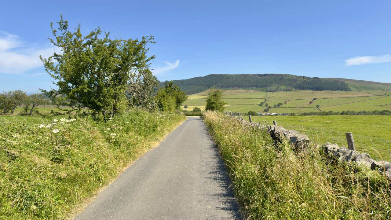
The tarmac of Bog Lane leads me on with wild flowers crowding the verges on either side. Crookrise Wood fills the view ahead, its dark conifers climbing towards the rocky rim of Crookrise Crag on Embsay Moor.
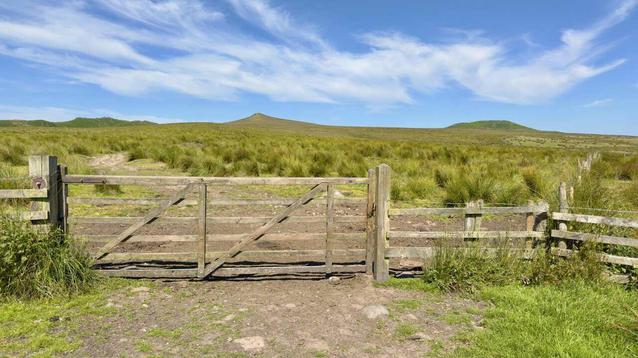
The grassy bridleway I have followed along the fence line ends at a gate, and through it the Dales High Way strikes out across the open fell. Sharp Haw rises straight ahead over the rough moor grass, with the flatter top of Rough Haw away to the right.
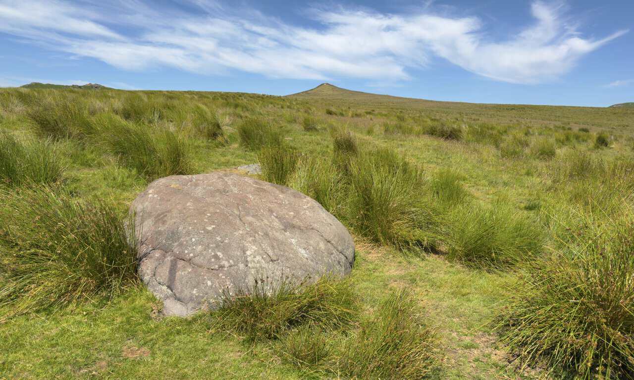
A large boulder sits beside the Dales High Way, worn smooth and just the right height to rest on. I stop here for a coffee, about a quarter of the way round my Skipton walk, with Sharp Haw still ahead of me across the rough grass.
Further on, the view to the north-east begins to open out towards Rylstone Fell and Cracoe Fell. The tops there carry two well known landmarks, Rylstone Cross on its perch above the village and the tall obelisk of the Cracoe War Memorial.
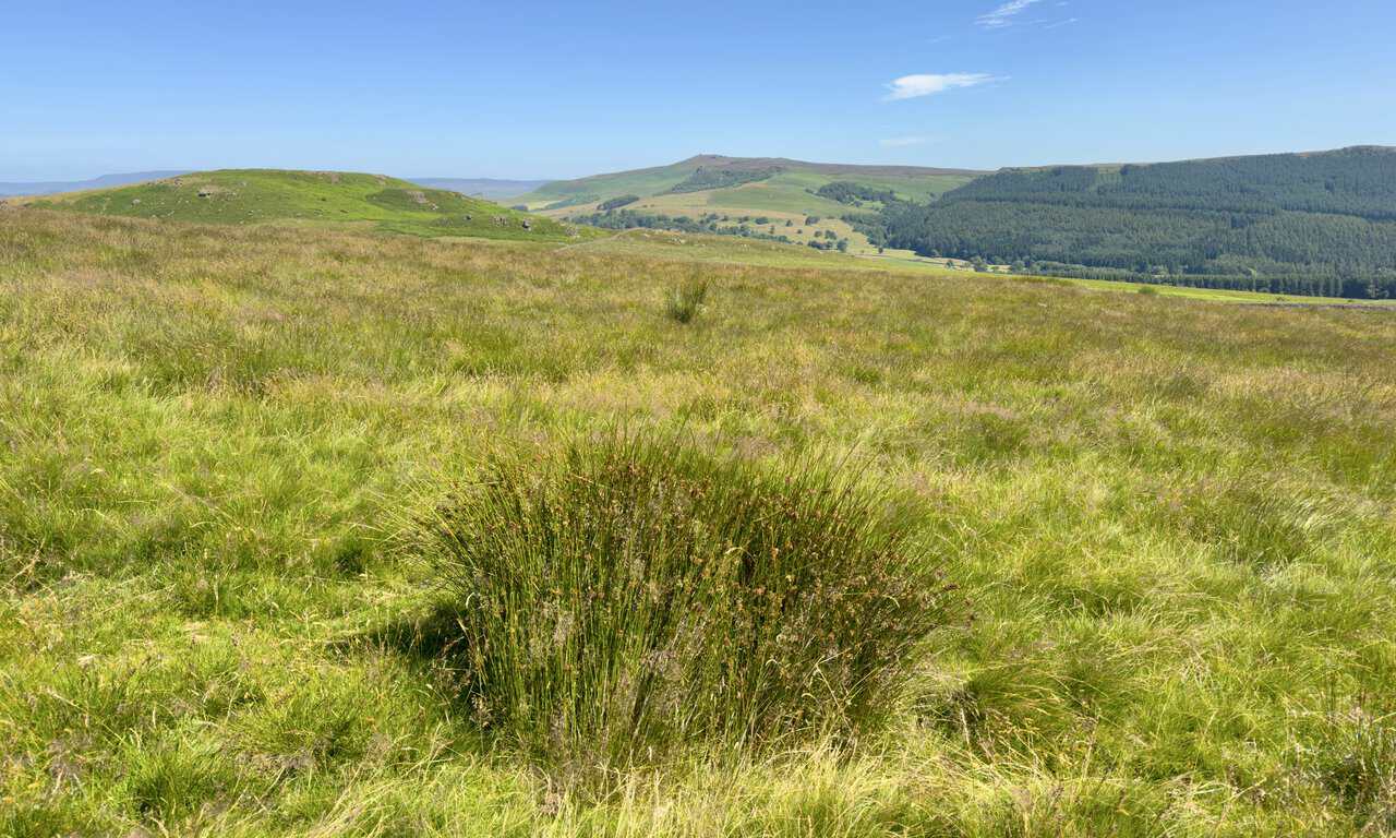
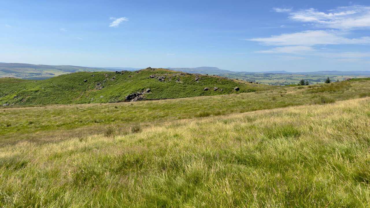
Turning the other way, to the south-west, a bracken-covered hill catches my eye with a small cairn set on top, one to come back to another day. Far beyond it, the long silhouette of Pendle Hill sits on the horizon.
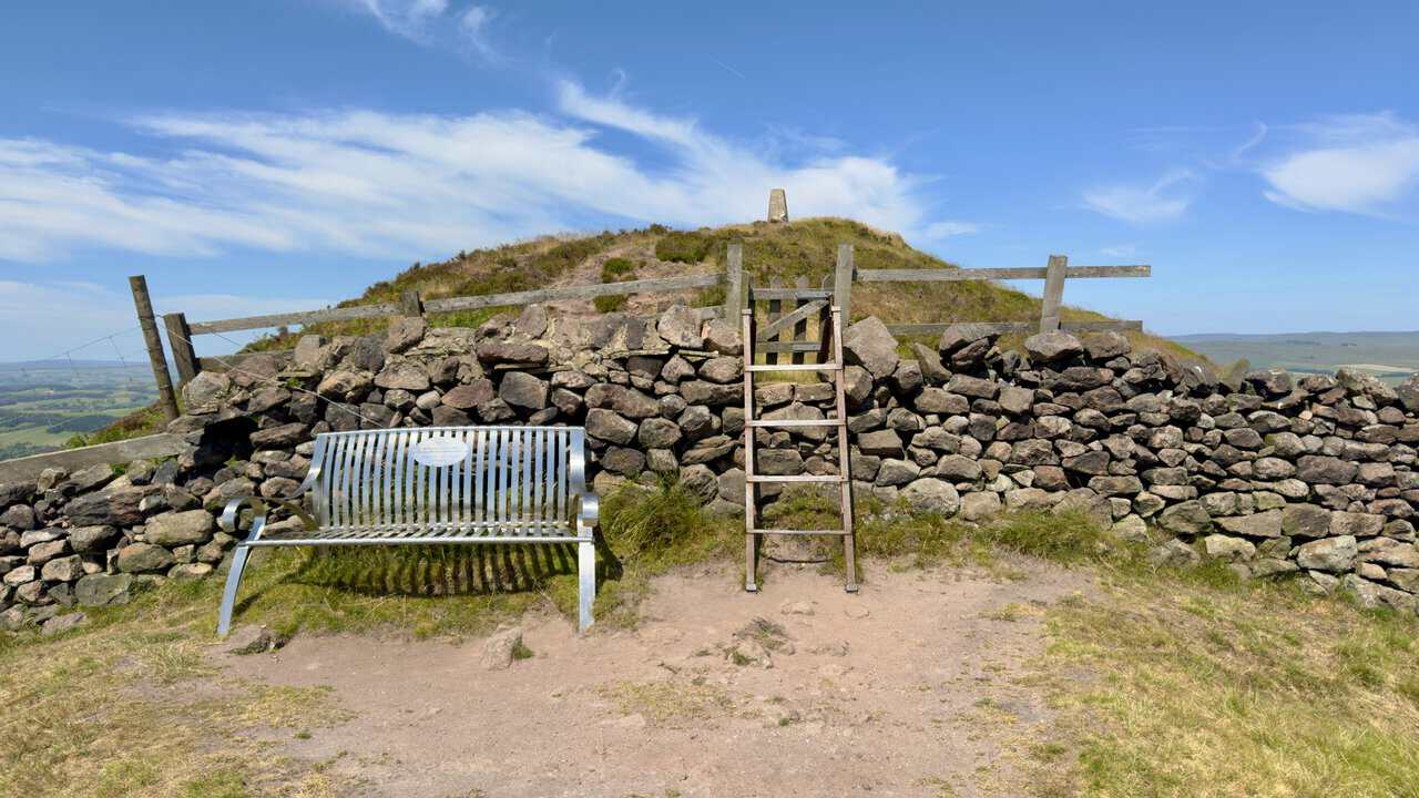
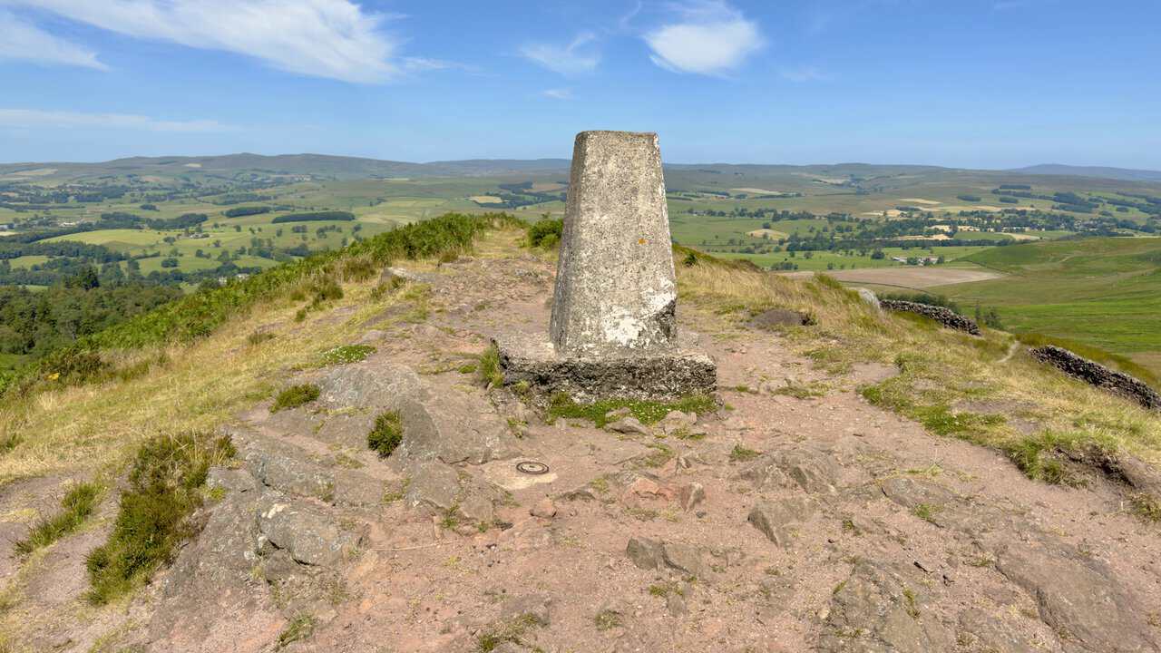
The metal bench on Sharp Haw has been catching the light for the last half mile, a bright point on the skyline that I could not place until now. A wooden stile lifts me over the dry stone wall behind it and on to the summit.
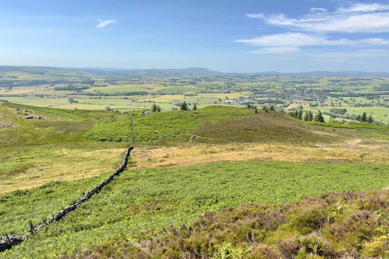
For such a modest hill, the views repay every step of the climb. Gargrave sits below among its fields to the south-west, and Pendle Hill fills the far horizon beyond.
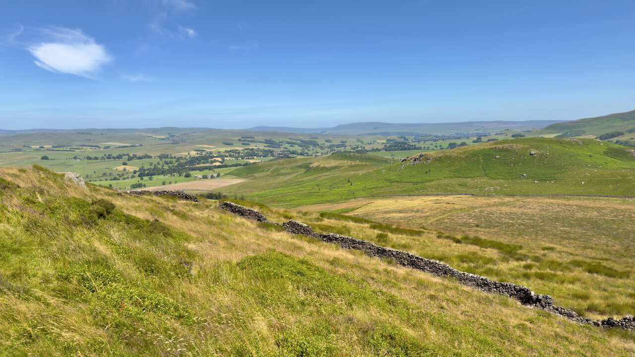
The view north reaches deep into the Dales, with Buckden Pike on the left and Great Whernside to the right, both a good distance off. Between them the land drops away into a patchwork of pasture and small woods.
The trig point stands at 357 metres, the highest ground on my Skipton walk. From here the path turns for Rough Haw, and the rest of the day is downhill and back towards the canal.
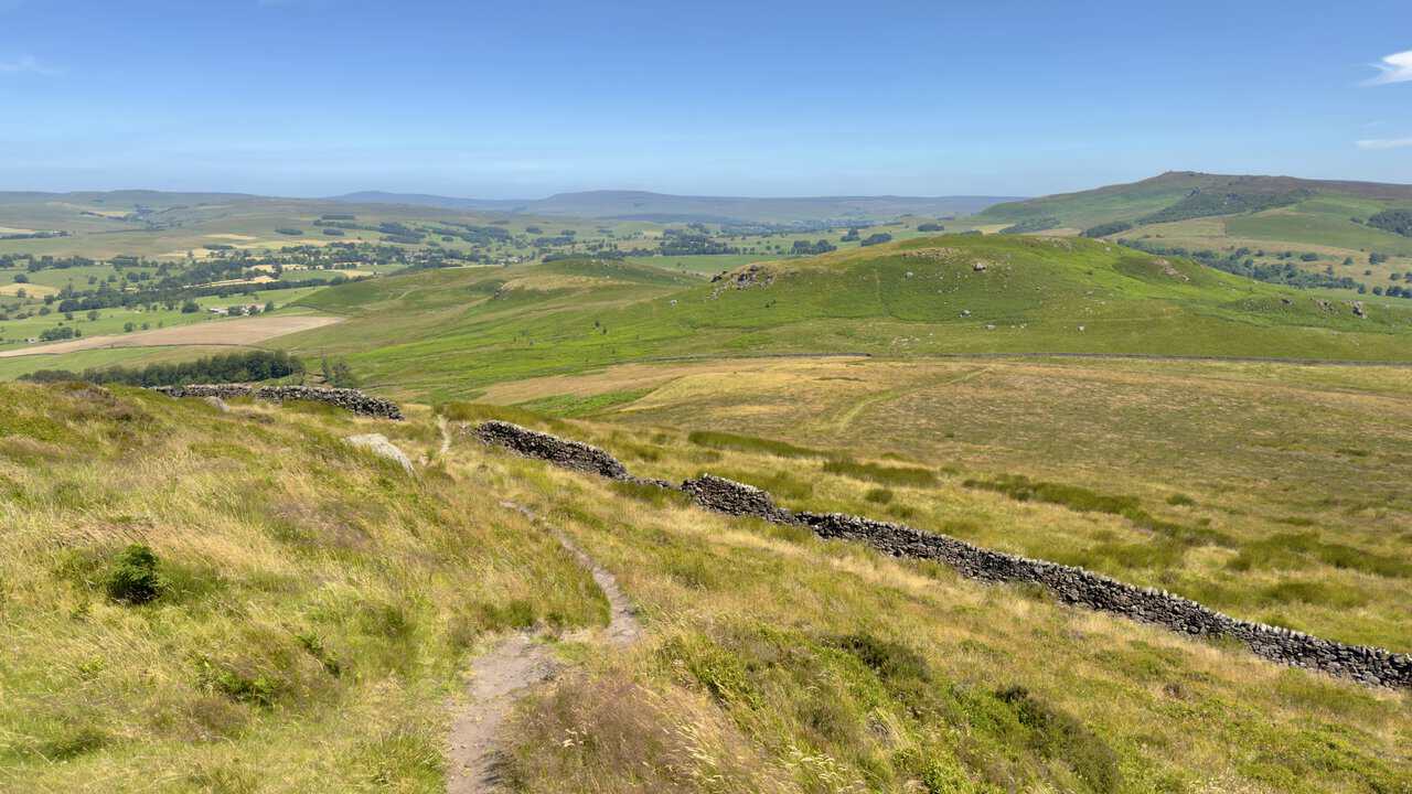
From the trig point a narrow path drops off the summit, cutting down through the rough grass to a dry stone wall, the first of two I pass on the way down. Rough Haw waits ahead, its boulder-strewn crown low and broad against the fields of the valley.
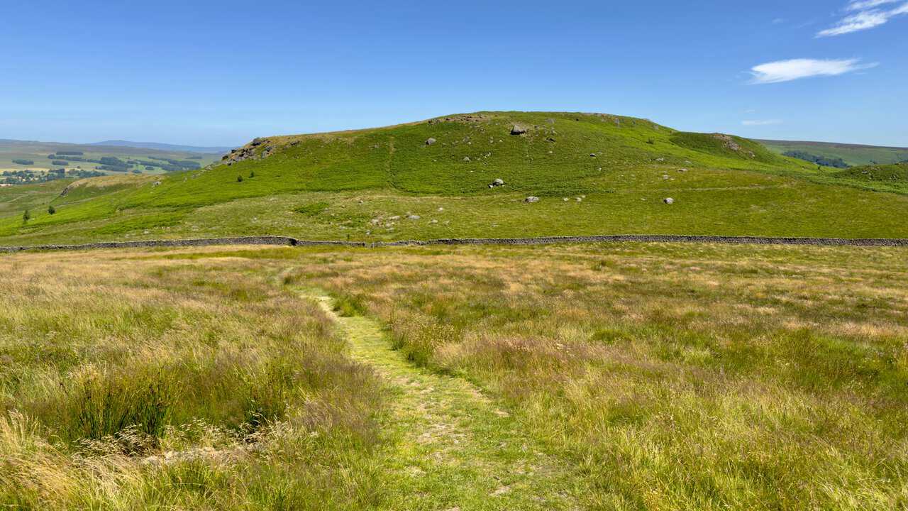
The grassy path brings me down to a signposted bridleway and I keep straight on towards the wall below. A gate lets me through, with the flanks of Rough Haw rising directly in front of me.
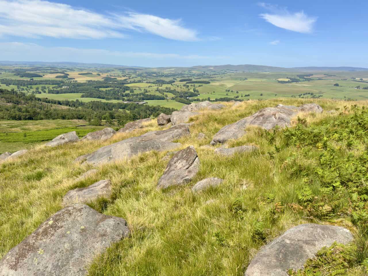
The pull up Rough Haw is short but steep, and the top rewards it, a broad crown scattered with weathered gritstone boulders. Bracken and rough grass fill the spaces between them.
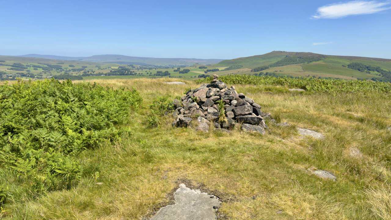
A cairn of loose stones marks the summit at 339 metres, built up by walkers over the years. From beside it Rylstone Cross and the Cracoe War Memorial show again on the fells to the north-east, with Great Whernside and Buckden Pike further round to the north.
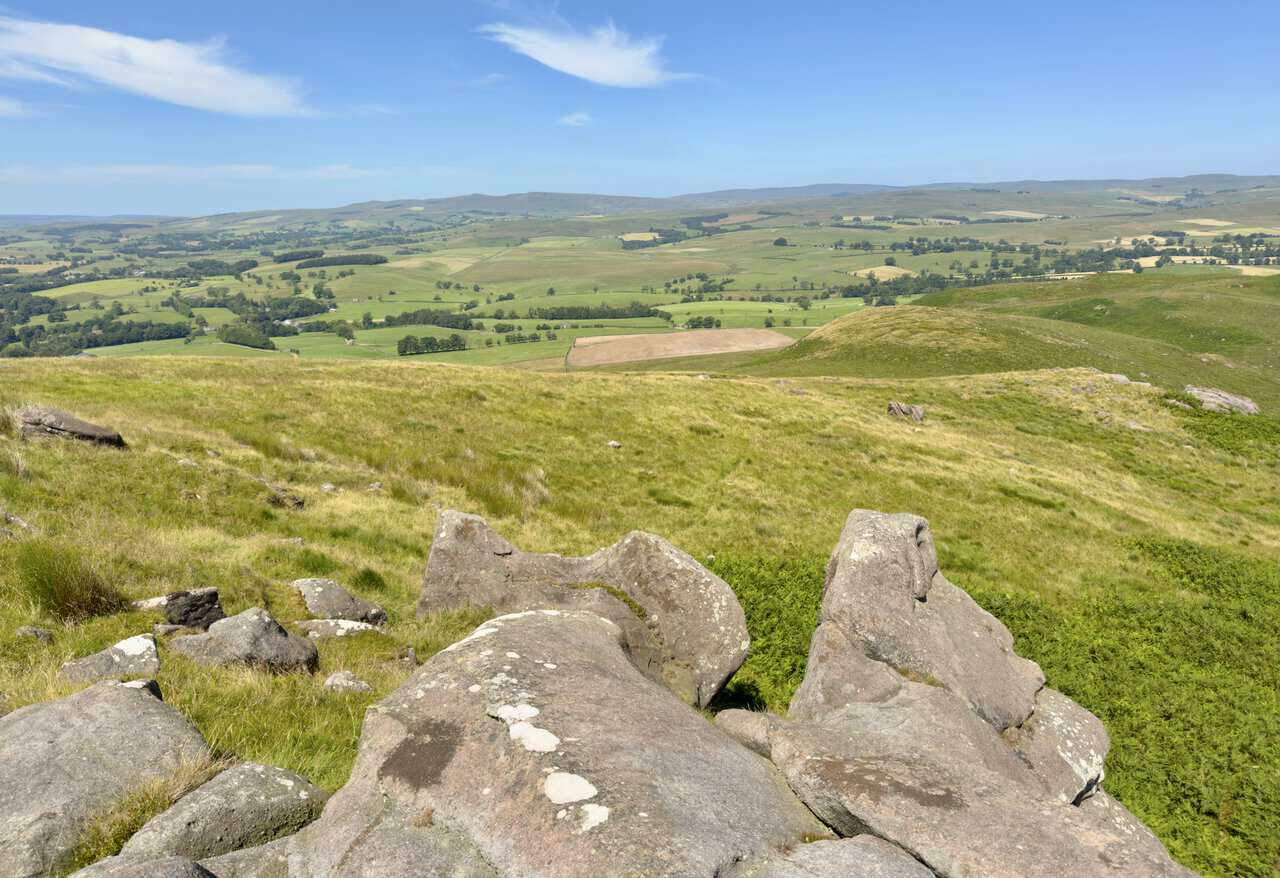
Standing among the boulders, nothing interrupts the view, pasture and woodland running out on every side. Not bad for a hill you can climb in a few minutes from the bridleway.
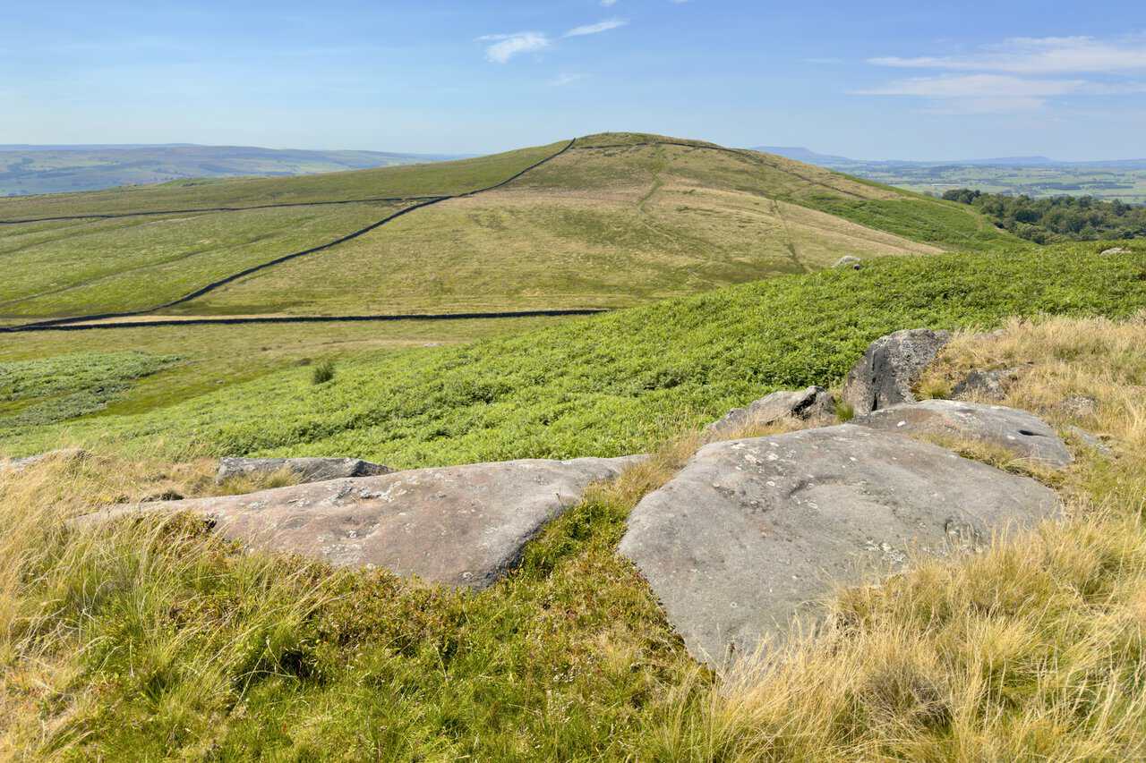
Looking back the way I have come, Sharp Haw rises across the shallow gap between the two, the trig point just visible on its top. It is a short distance as the crow flies, though the two hills feel quite different underfoot.
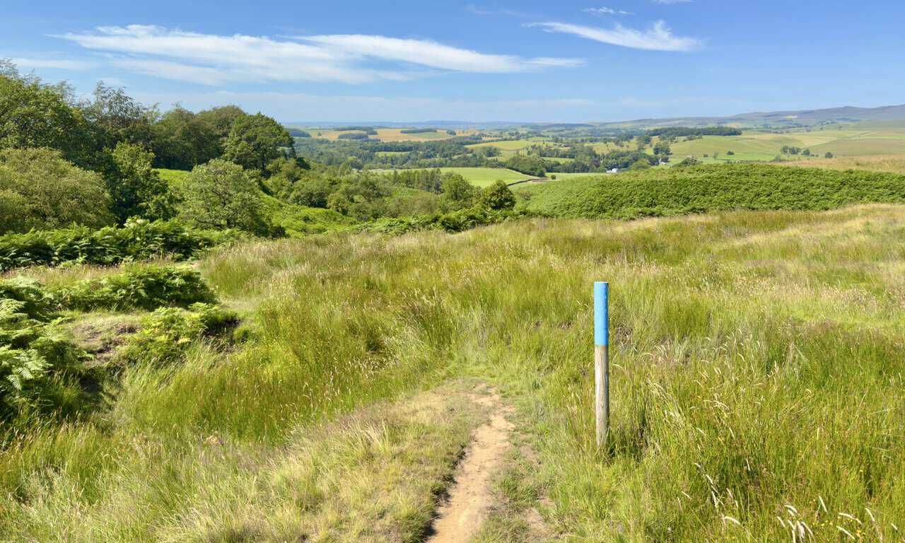
Leaving Flasby Fell behind, the bridleway drops away downhill with blue-topped posts marking the line across the rough ground. They are a help here, where the path is faint and the grass tall.
Lower down the way narrows to a stony path running beside a small stretch of woodland, hemmed in by a mossy dry stone wall. It is a shaded, sheltered contrast to the open fell I have just left.
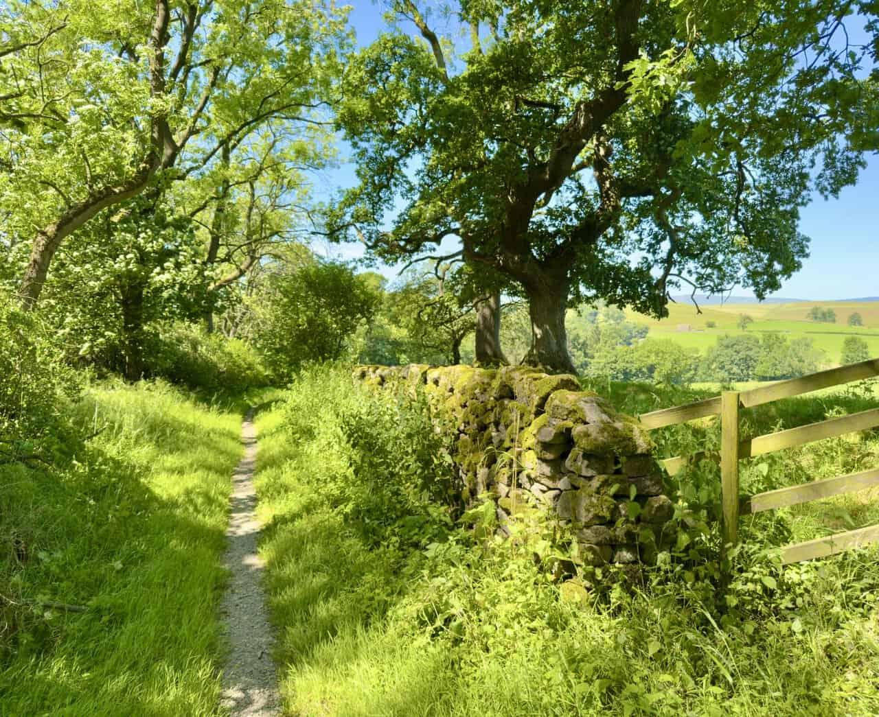
The path brings me down into Flasby, where a stone farmhouse sits behind a dry stone wall with its garden running down to the roadside. Mullioned windows and heavy stone chimneys mark it out as one of the older buildings in the hamlet.
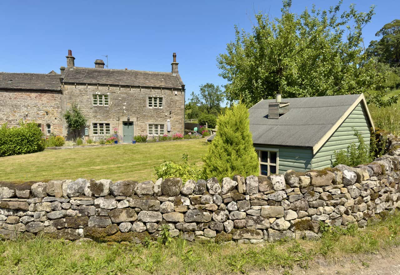
The lane through Flasby is quiet, a single strip of tarmac curling past a small stone barn and a long farmhouse of warm gritstone. Walls and outbuildings enclose the whole cluster, with mature trees rising behind.
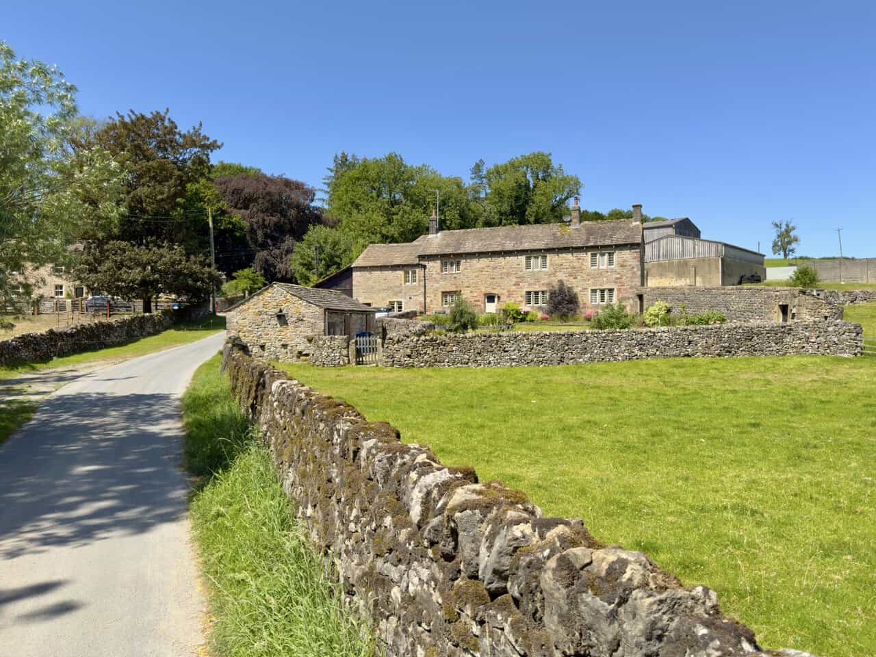
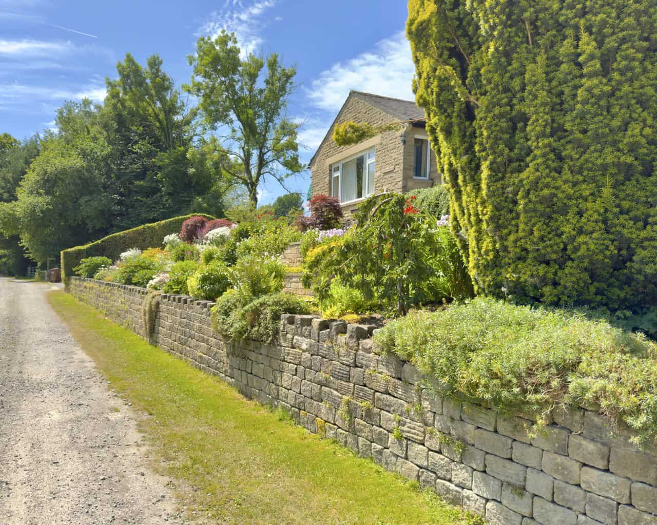
The track leads me on in front of the houses, past a bungalow called Tenter Ghyll with its terraced garden banked up behind a low wall. Just beyond it I turn right, leaving the hamlet behind and heading back into open country.
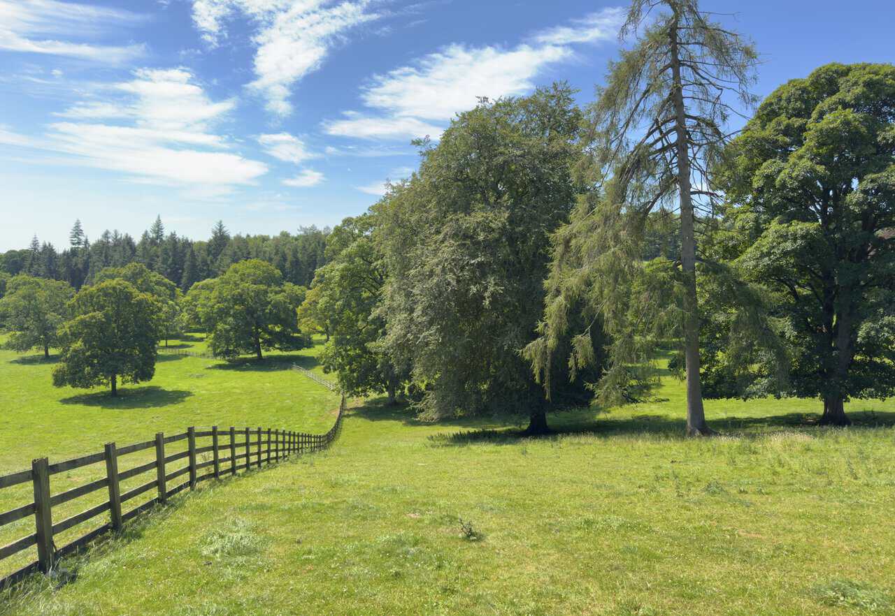
From the top of the grassy bank the path runs on beside a wooden post and rail fence, keeping me company for almost half a mile. To my right the ground opens into parkland, mature oaks and a tall larch standing well spaced across the grass with conifer woodland closing the view behind.
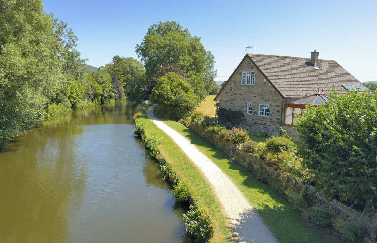
Ray Bridge carries the lane over the Leeds and Liverpool Canal, and from the top of the arch I look down on the water. The towpath runs away beside a stone house with its garden dropping to the edge, the canal still and green under the trees.
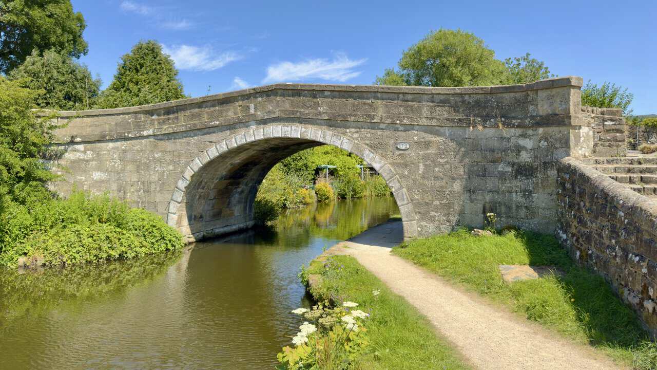
Steps on the right take me down to the towpath, where I turn right and duck beneath the arch of the bridge. Bridge number 172 is picked out on an oval plate in the stonework, with the canal now on my left.
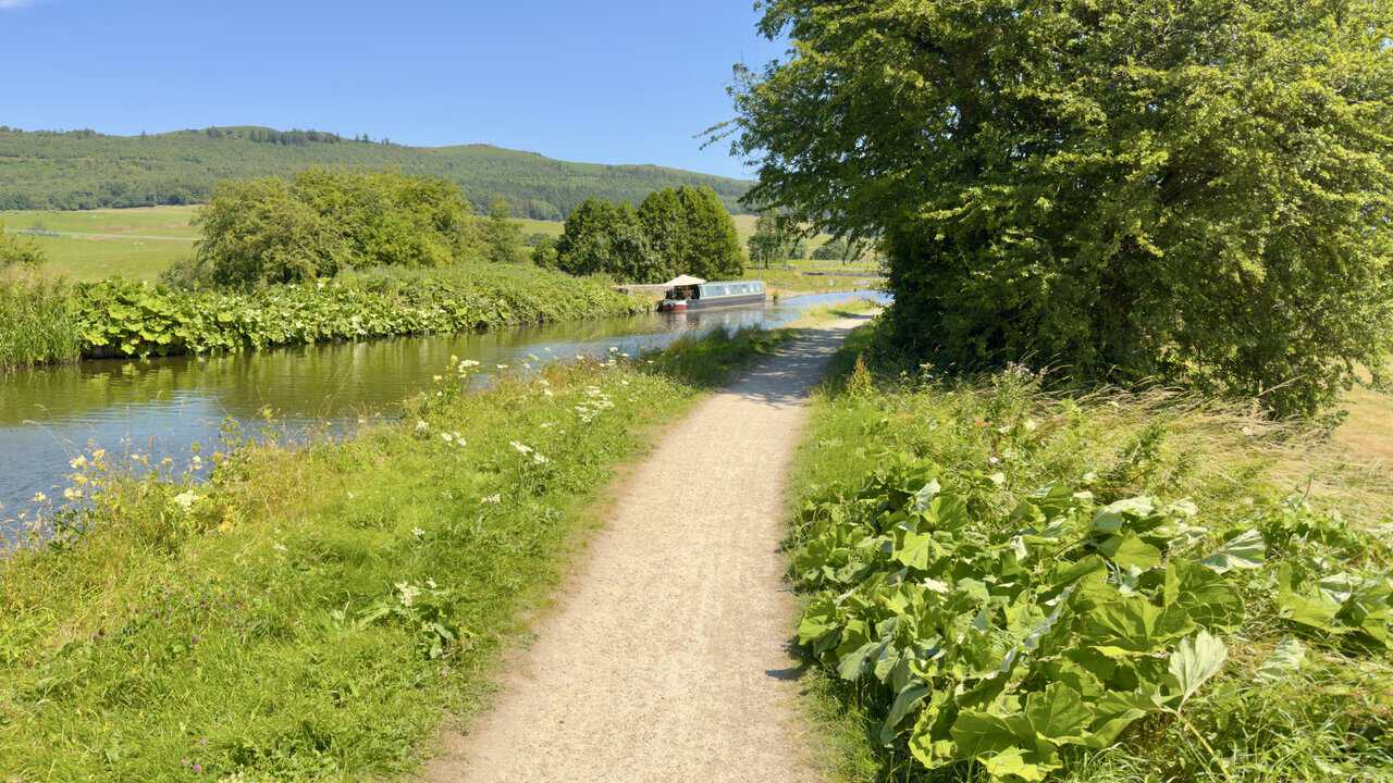
From here my Skipton walk turns east for the long towpath return to the town. A narrowboat is moored ahead beneath the trees, the path running level between banks of wild flowers and broad-leaved growth.
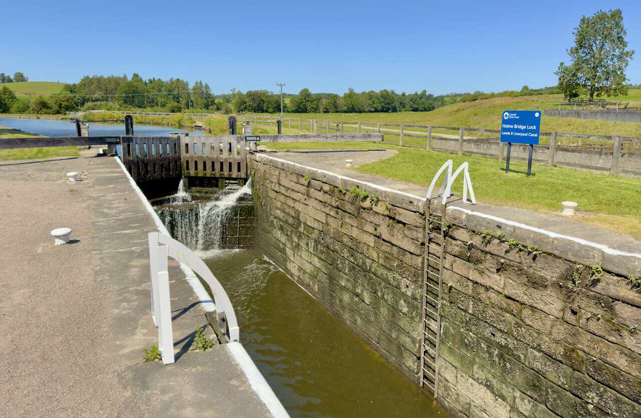
I reach Holme Bridge Lock, sitting beside the A65 with water spilling steadily through its gates. This is Lock No 30 on the Leeds and Liverpool Canal, the first lock in some seventeen miles for anyone heading west, and the start of the climb through the Gargrave Flight.
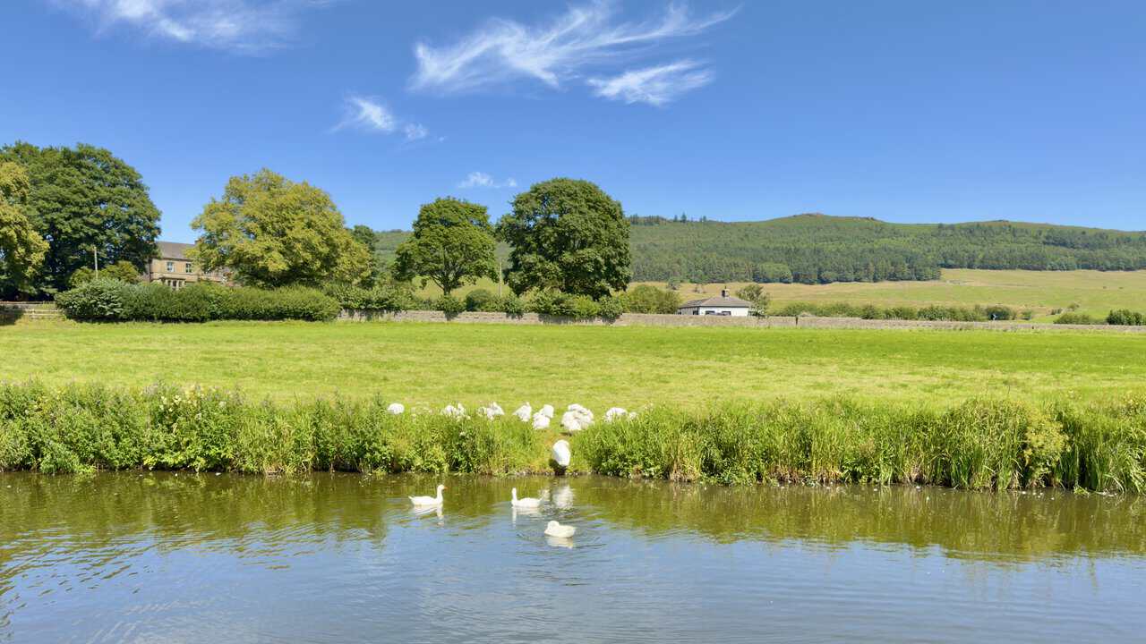
Beyond the lock the towpath carries on east, and the wildlife along here is worth slowing down for. A group of geese has settled on the bank ahead of me, with a few more out on the water.
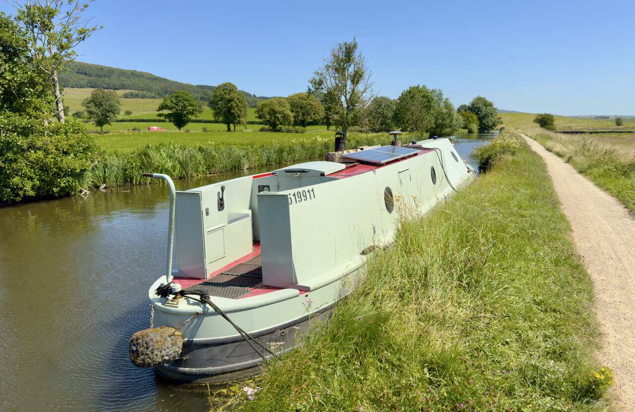
Narrowboats begin to appear along the moorings, only a handful at this stage, though I will find many more as I get closer to Skipton. This one sits low against the bank with its solar panel angled to the sun.
Highgate Bridge comes next, a swing bridge at New Laithe swung shut across the water. The canal runs on straight beyond it between open fields.
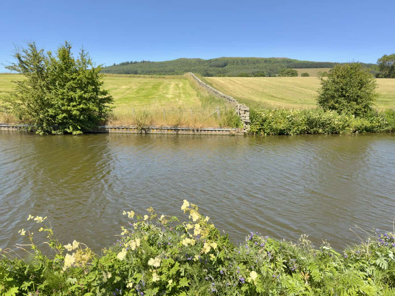
Looking north across the water, Crag Wood covers the slopes close to ground I crossed earlier in the day. On the top I can pick out the small cairn I noticed on the way to Sharp Haw.
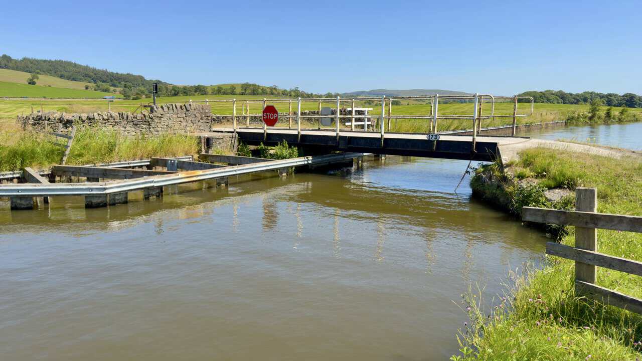
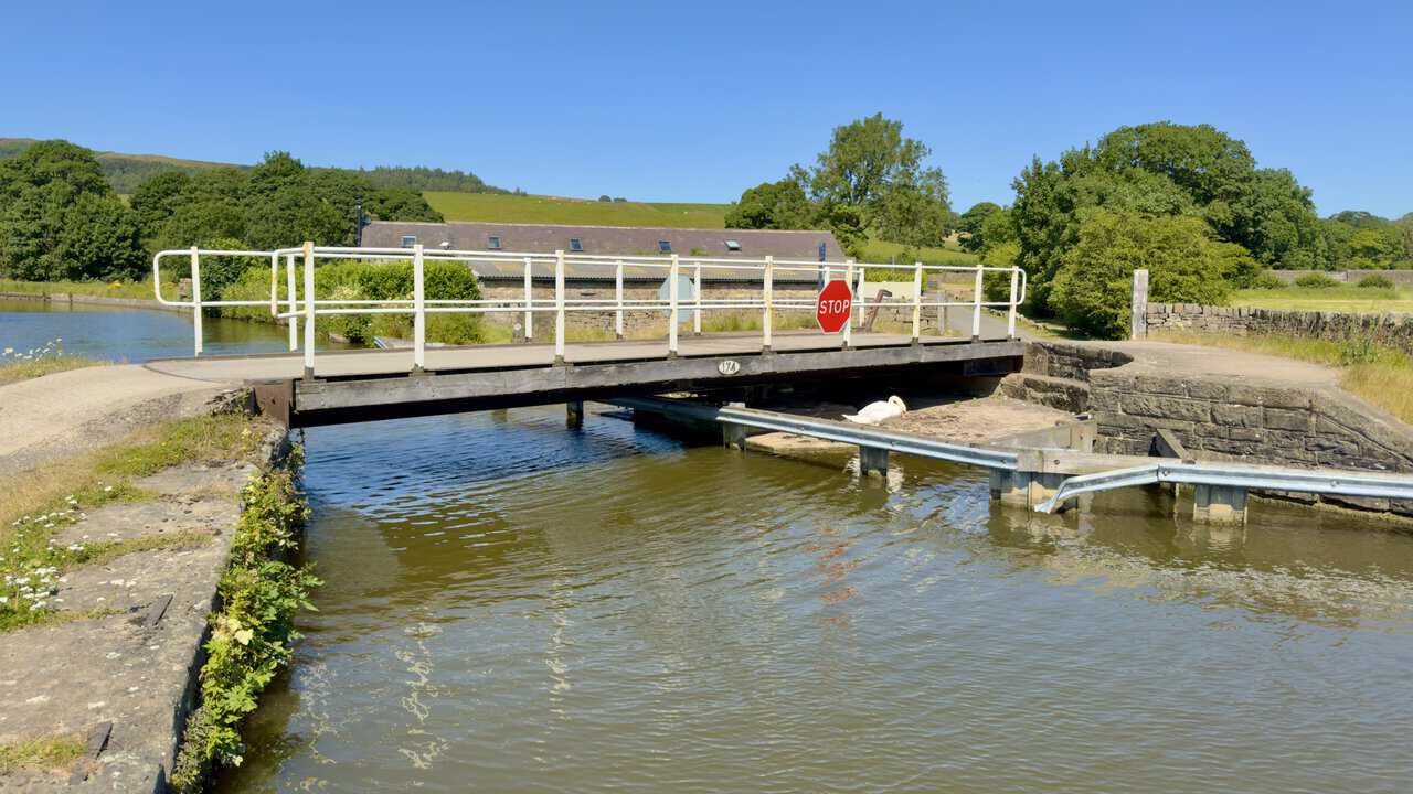
Thorlby Bridge is the next swing bridge, its timber deck low over the water and a swan tucked in beneath the far end. I am about three quarters of the way round my Skipton walk by this point.
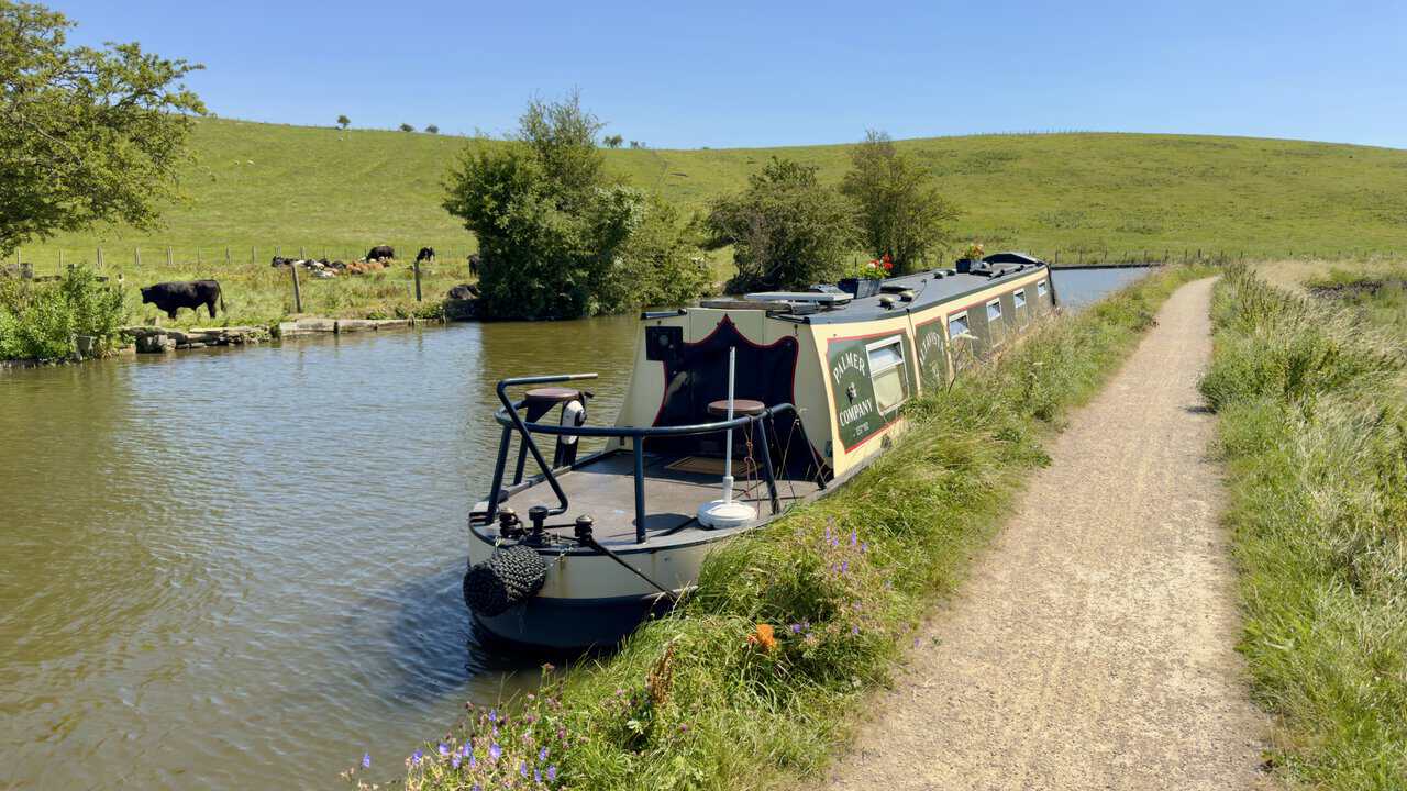
The towpath runs on with cattle grazing right down to the water’s edge, and a narrowboat moored under the bank ahead of me. This is easy, pleasant walking, level all the way and impossible to lose.
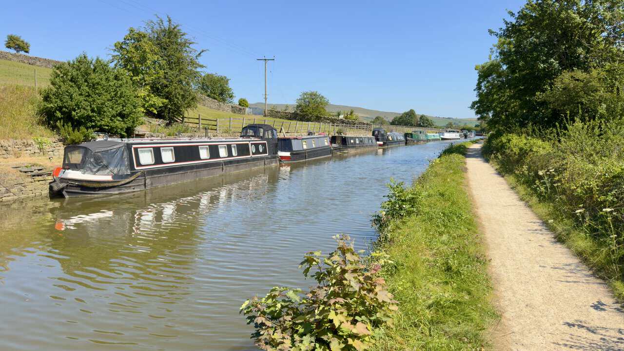
The moorings grow busier the closer I come to Skipton, boats lined nose to tail along the bank in a run of dark hulls and bright trim. Their reflections stretch out across the water beside me.
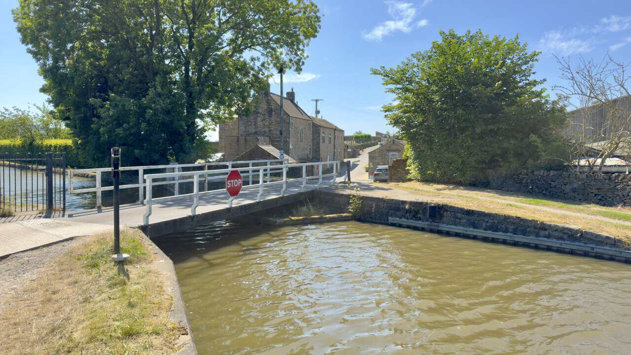
Niffany Swing Bridge carries a lane over the canal, with stone houses climbing the slope beyond. After a day on the fell, the even ground and the steady procession of bridges make for an undemanding finish.
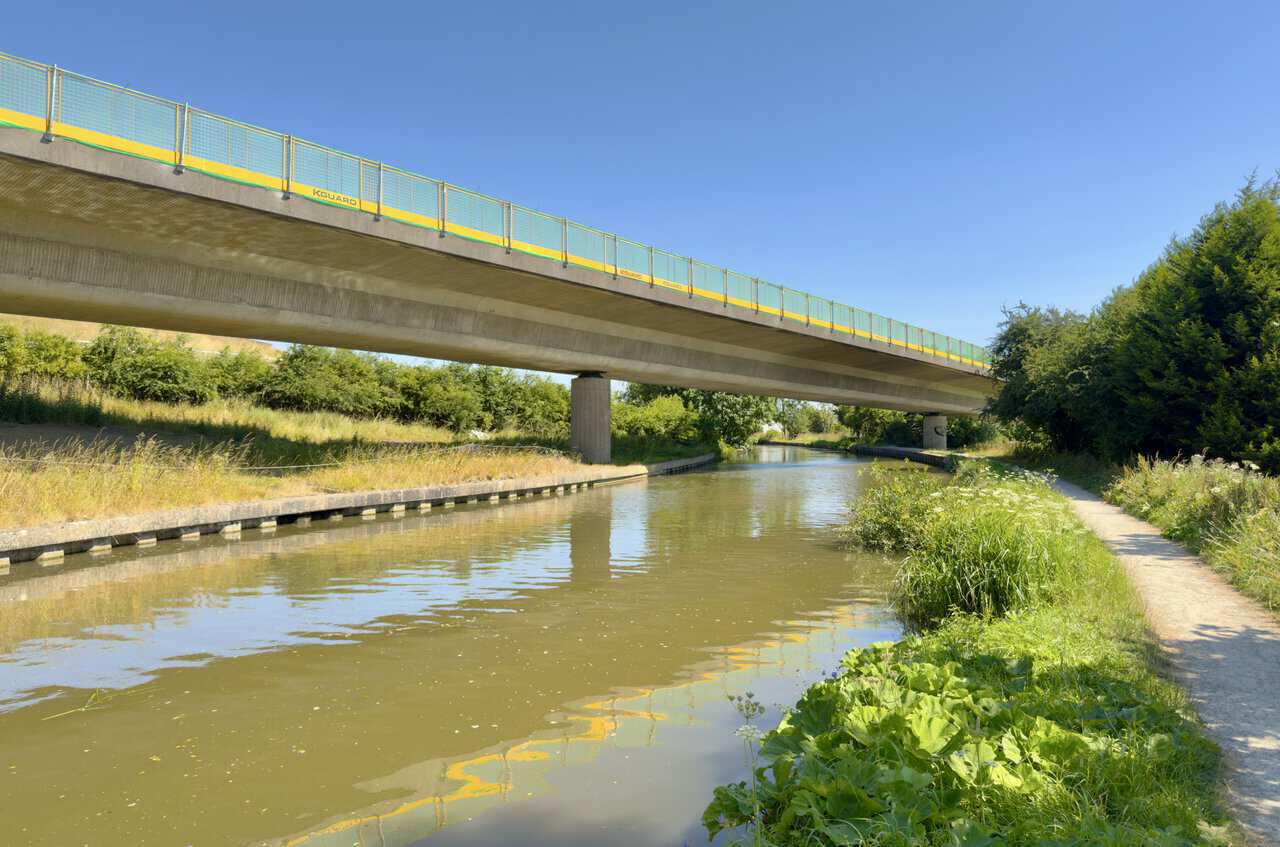
The towpath is signposted to Silsden and Skipton now, and the A629 crosses high overhead on a long concrete span, a piece of modern road engineering dropped straight into quiet countryside. Its underside and yellow railings hang in the water below, the reflection oddly the better half of the picture.
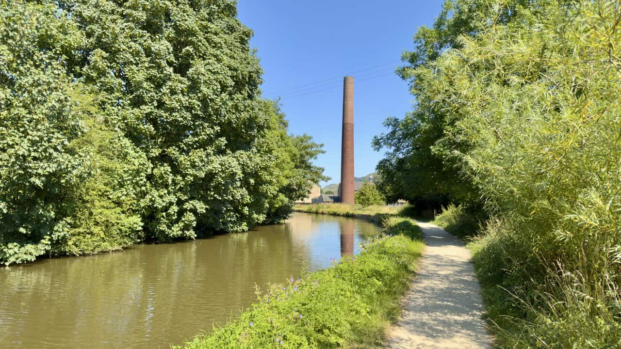
A little further on a tall brick chimney rises above the trees, standing straight against the sky at the end of a long green corridor of towpath. What it once served I could not say, but it is an impressive thing to come across.
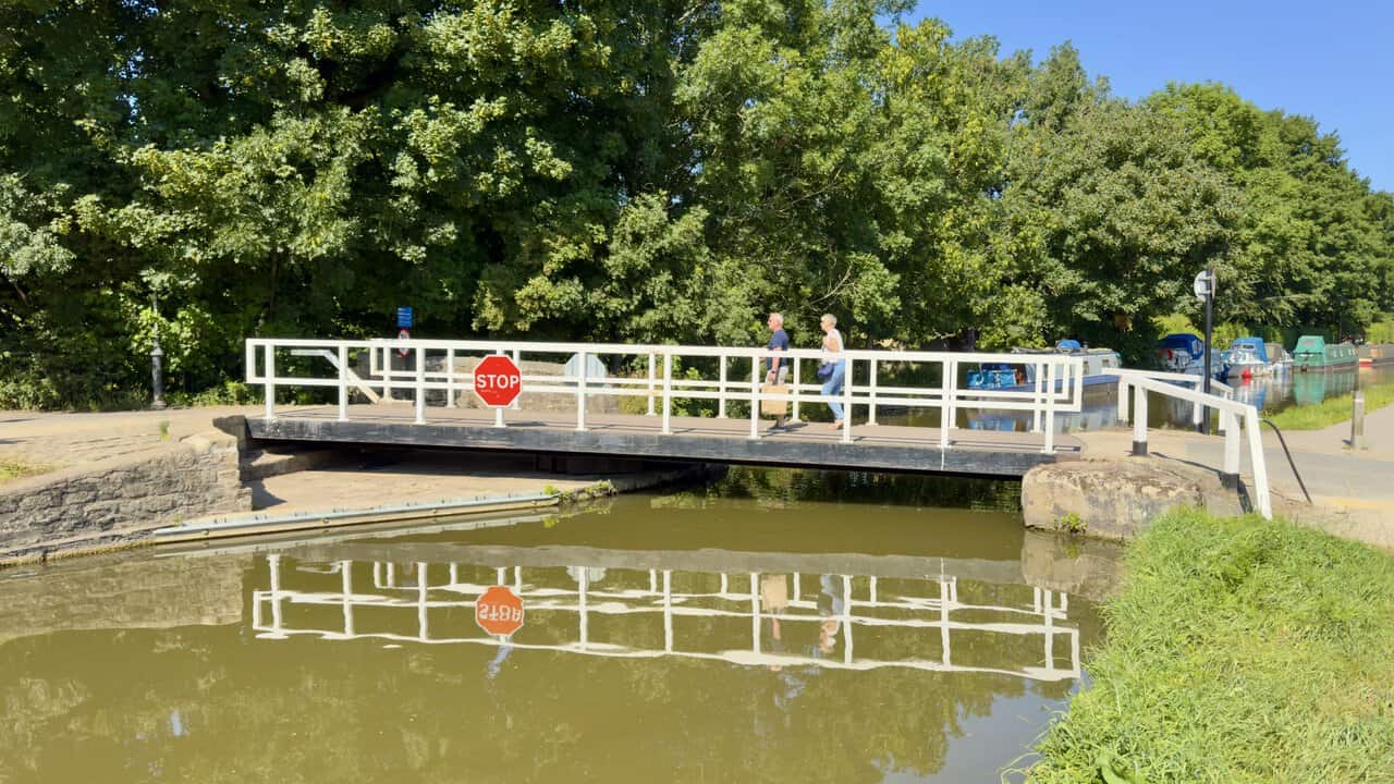
A swing bridge takes me across the road and I carry straight on, signposted Town Centre and Bus Station. A couple with their shopping cross ahead of me, and the whole thing repeats itself in the water below, white railings, stop sign and all, the reflection almost as crisp as the bridge itself.
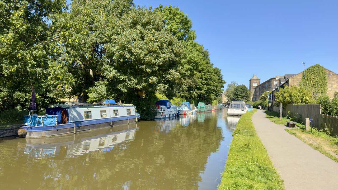
Another swing bridge follows soon after, with moored boats lining the far bank and a tall mill building rising above the rooftops ahead. This is a thoroughly enjoyable stretch, the canal easing into town between trees and old stone.
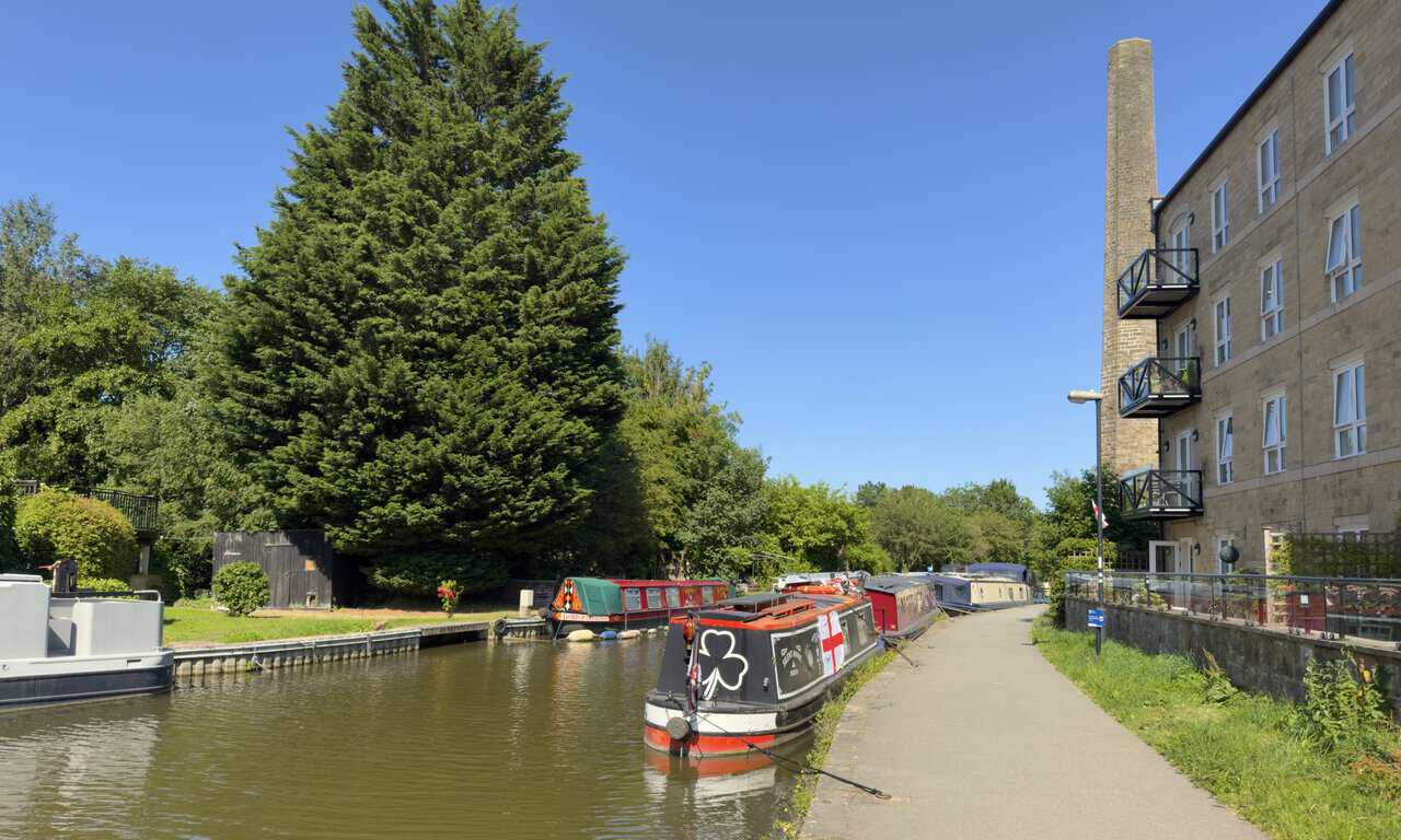
A block of flats stands over the towpath on my right, a converted mill by the look of it, with a tall stone chimney still attached to the gable. Narrowboats lie along the bank below, one of them flying the flag of St George.
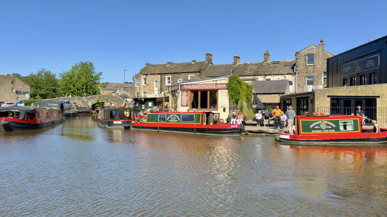
The canal opens out at the heart of Skipton, where the Boathouse Bar and the Pennine Cruisers day boats crowd the waterside and people sit out along the edge. Boats come and go through the low arch of the bridge beyond, and the whole basin is busy with colour.
Steps lift me onto Belmont Street, and I turn left over Belmont Bridge, signposted Town Centre and Bus Station, with Bizzie Lizzie’s and the old canal buildings below me. Coach Street takes me over Eller Beck and back to the car park where my Skipton walk began.