West from Digley Reservoir to join the Kirklees Way on the northern side of Marsden Clough. South then east across moorland to the village of Holme. South-east, continuing on the Kirklees Way, past Brownhill Reservoir and on to Crossley’s Plantation. Around the edge of a wooded area then a U-turn north of Harden Clough. Finally north-west to Holmbridge and west back to Digley Reservoir. An 11-mile walk in Northern England.
The best map to use on this walk is the Ordnance Survey map of Bradford & Huddersfield, reference OS Explorer 288, scale 1:25,000. It clearly displays footpaths, rights of way, open access land and vegetation on the ground, making it ideal for walking, running and hiking. The map can be purchased from Amazon in either a standard, paper version or a weatherproof, laminated version, as shown below.
RECOMMENDED MAP
Standard Ordnance Survey map of Bradford & Huddersfield, reference OS Explorer 288, scale 1:25,000.
Buy now on Amazon
View all Ordnance Survey maps
RECOMMENDED MAP
Weatherproof Active Ordnance Survey map of Bradford & Huddersfield, reference OS Explorer 288, scale 1:25,000.
Buy now on Amazon
View all Ordnance Survey maps
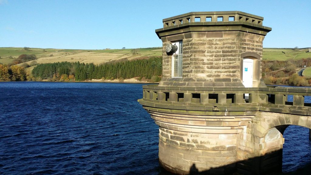
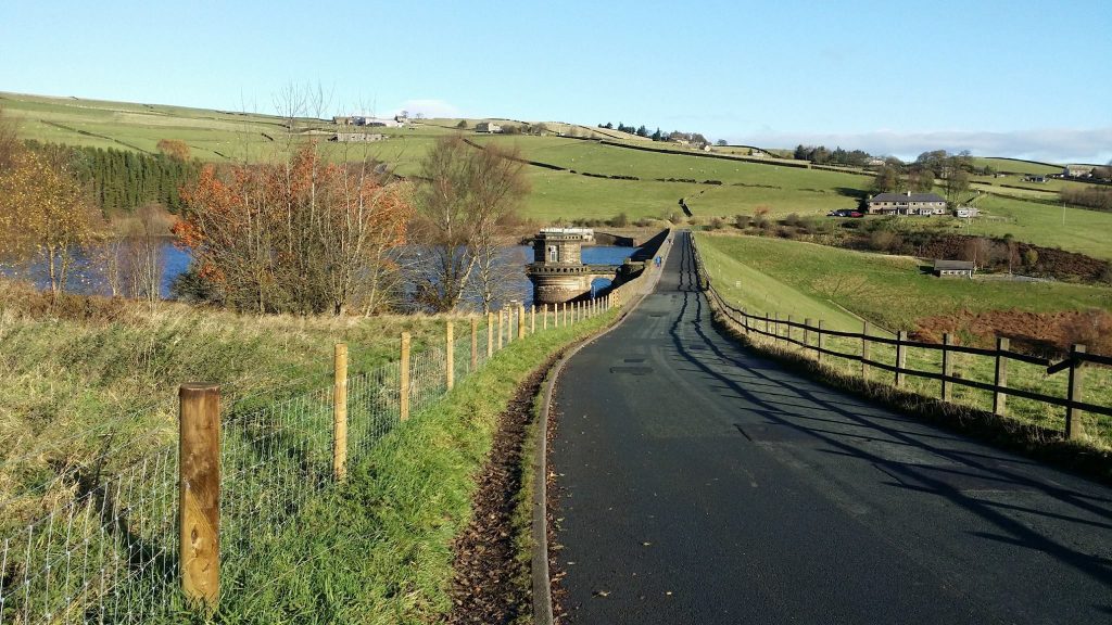
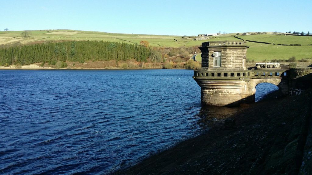
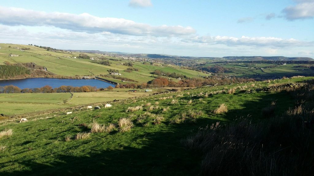
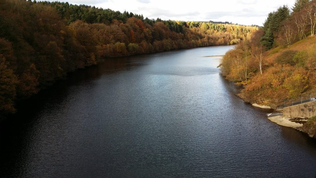
Digley Reservoir.
Beautiful scenery in the Good Bent area of Wessenden Head Moor.
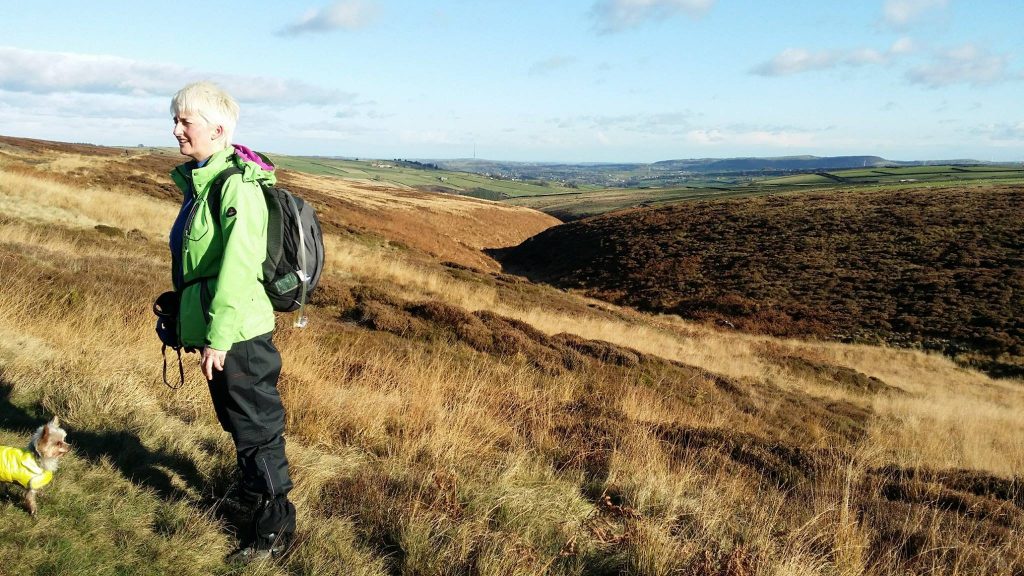
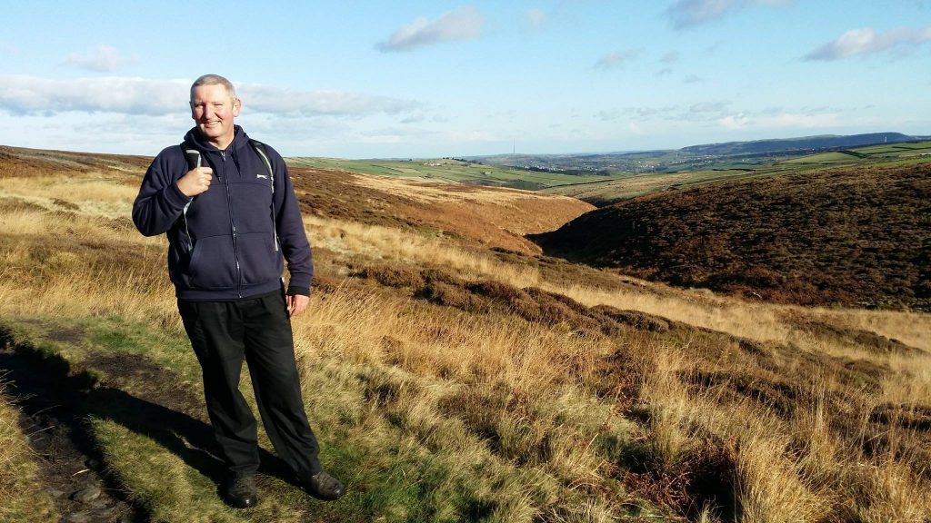
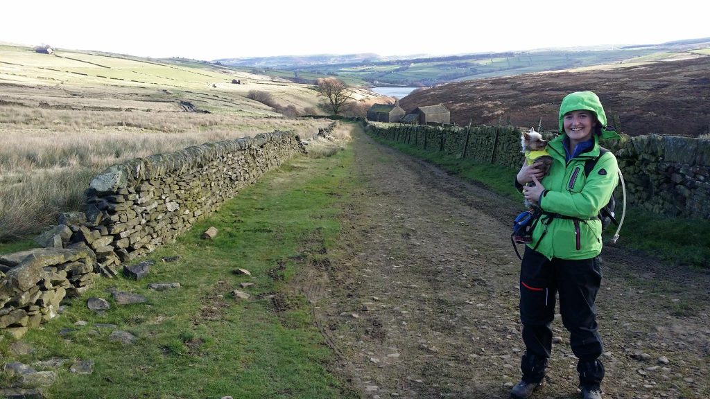
Enjoying the winter sunshine and the lovely views.
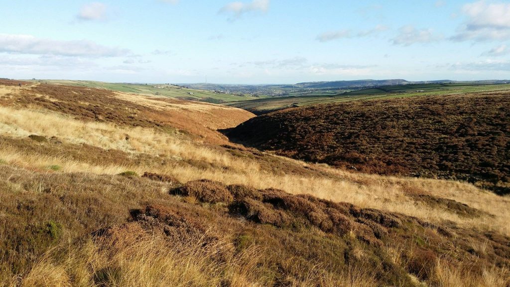
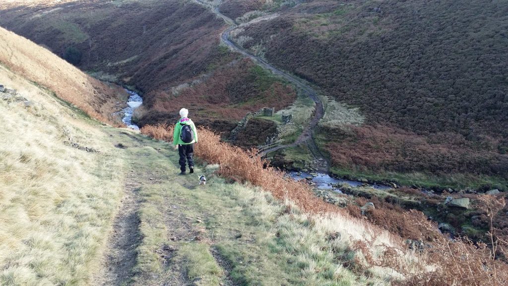
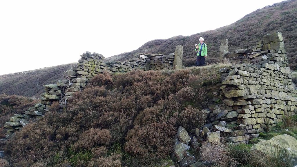
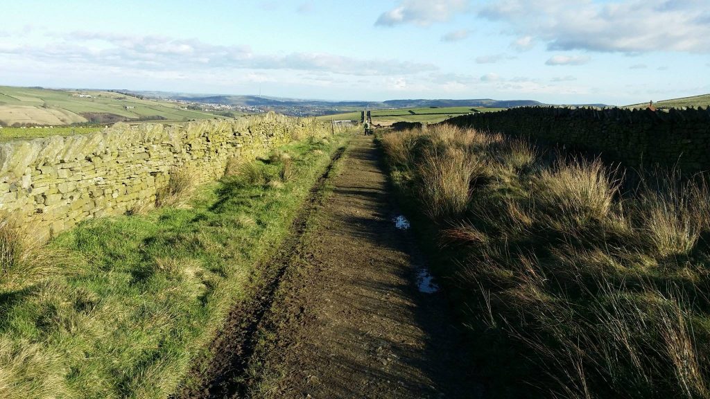
Marsden Clough.
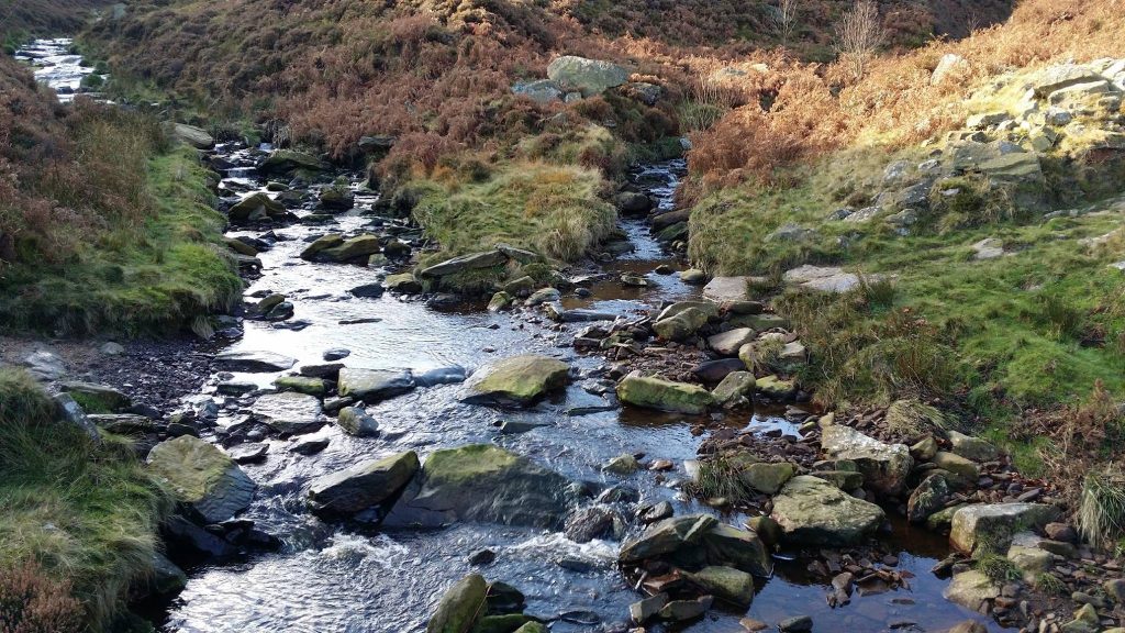
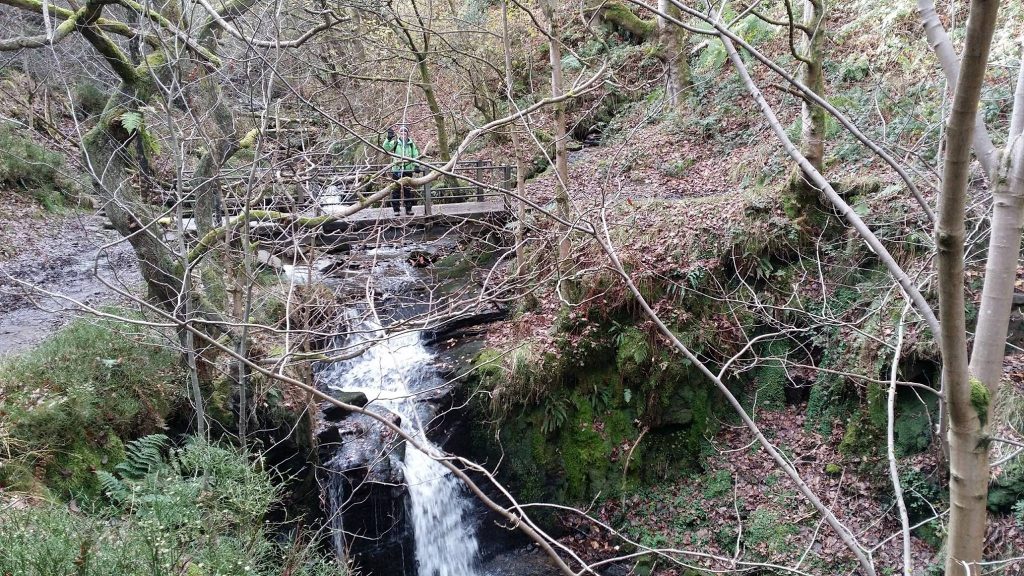
Waterfall on the south-western side of Brownhill Reservoir, just outside Holme.

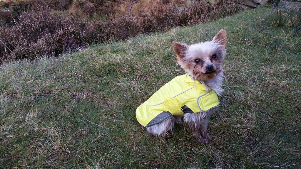
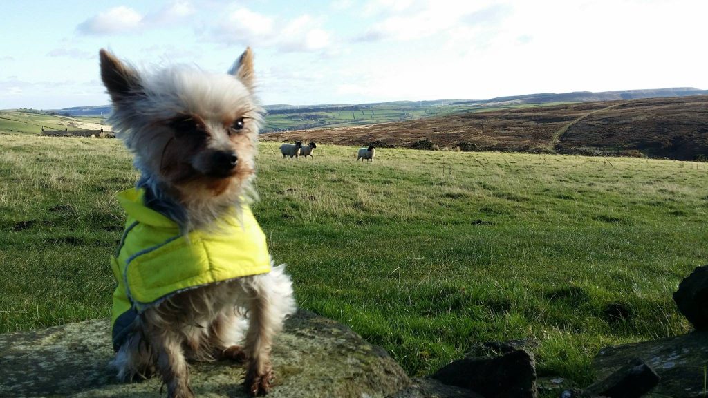
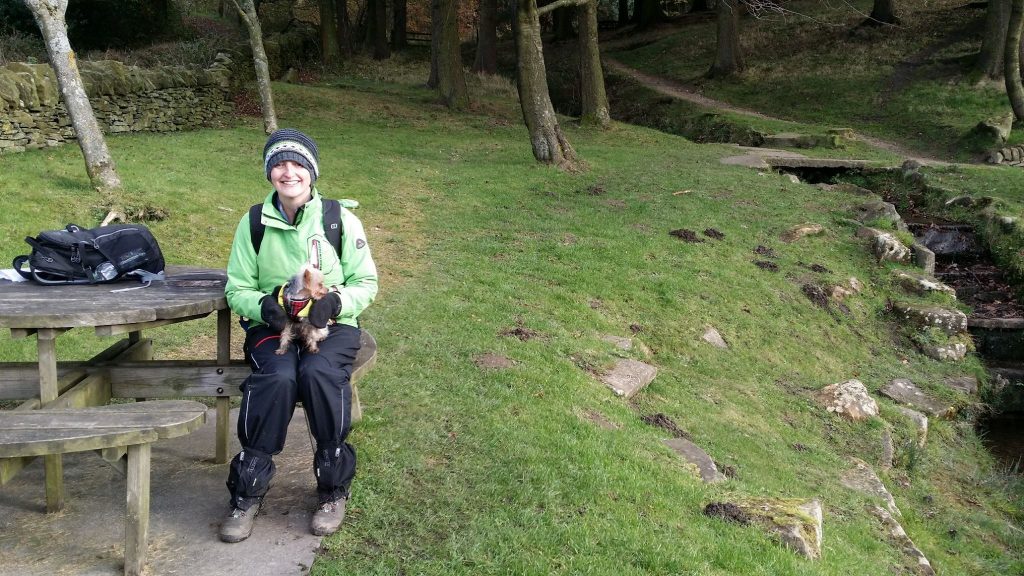
Paula’s cute little dog Pip enjoying the day.

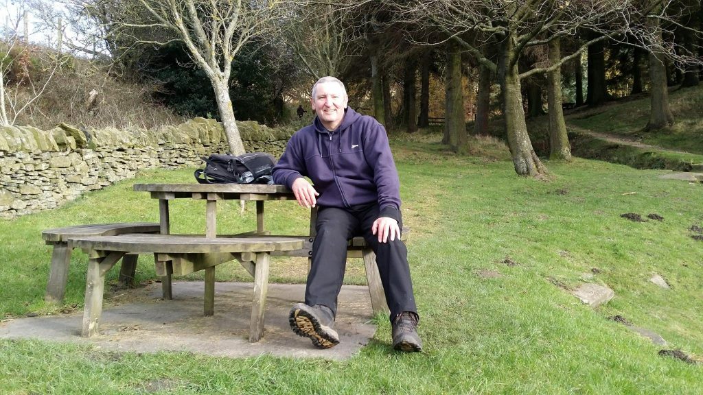
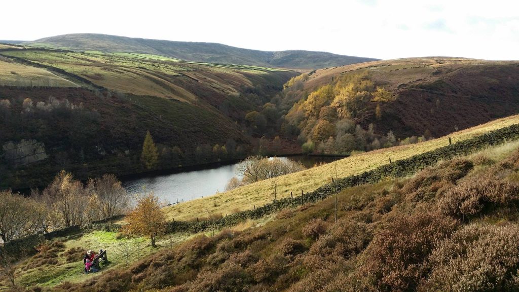
Time for a break at the Ramsden Reservoir picnic area.
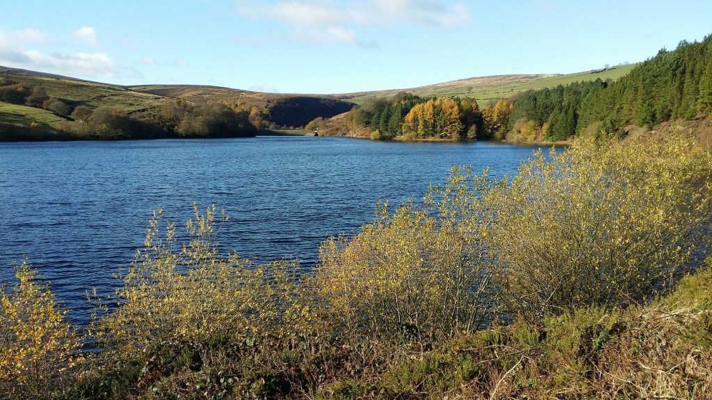
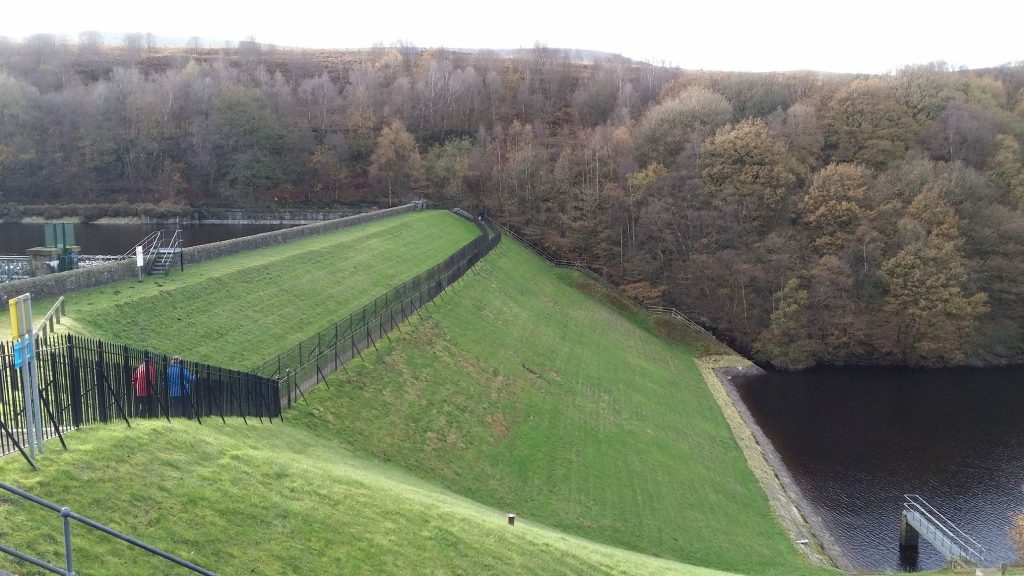
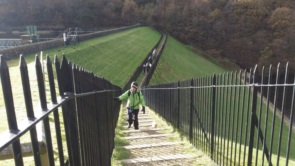
Brownhill Reservoir embankment.

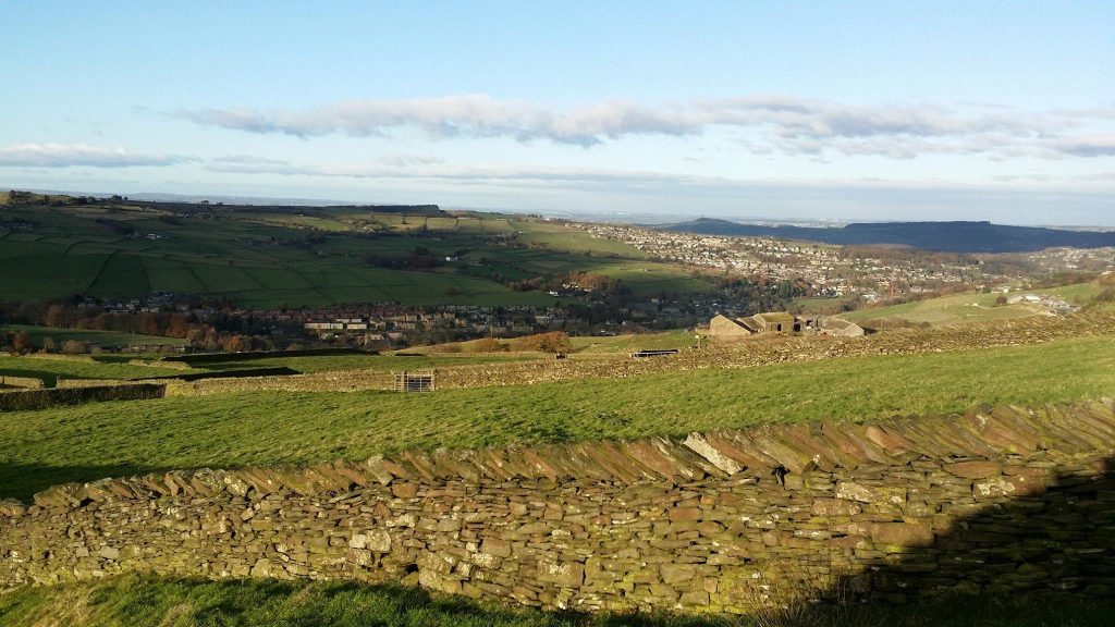
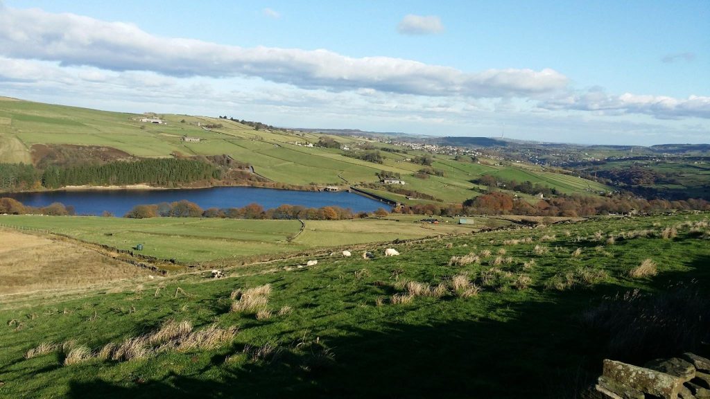
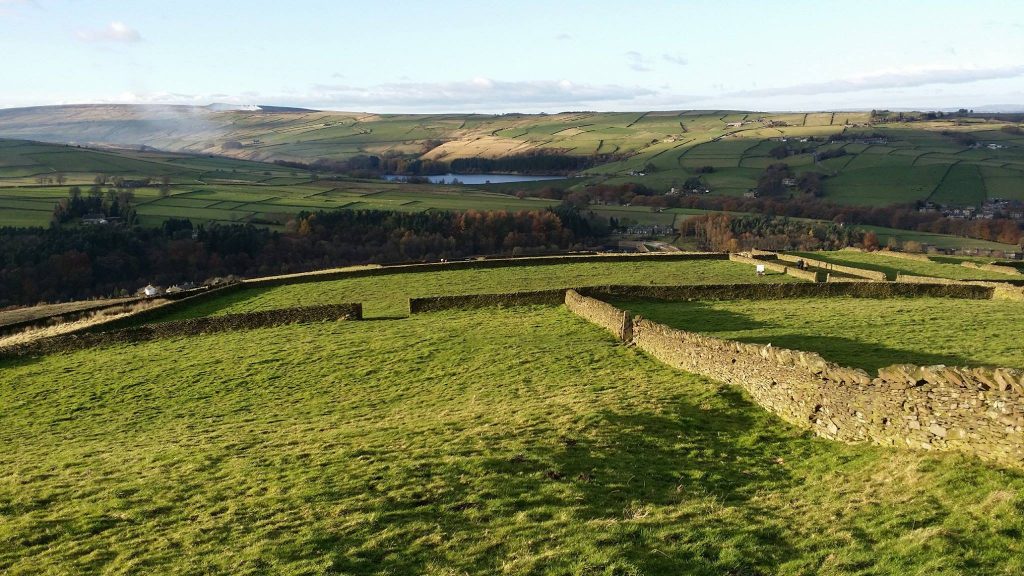
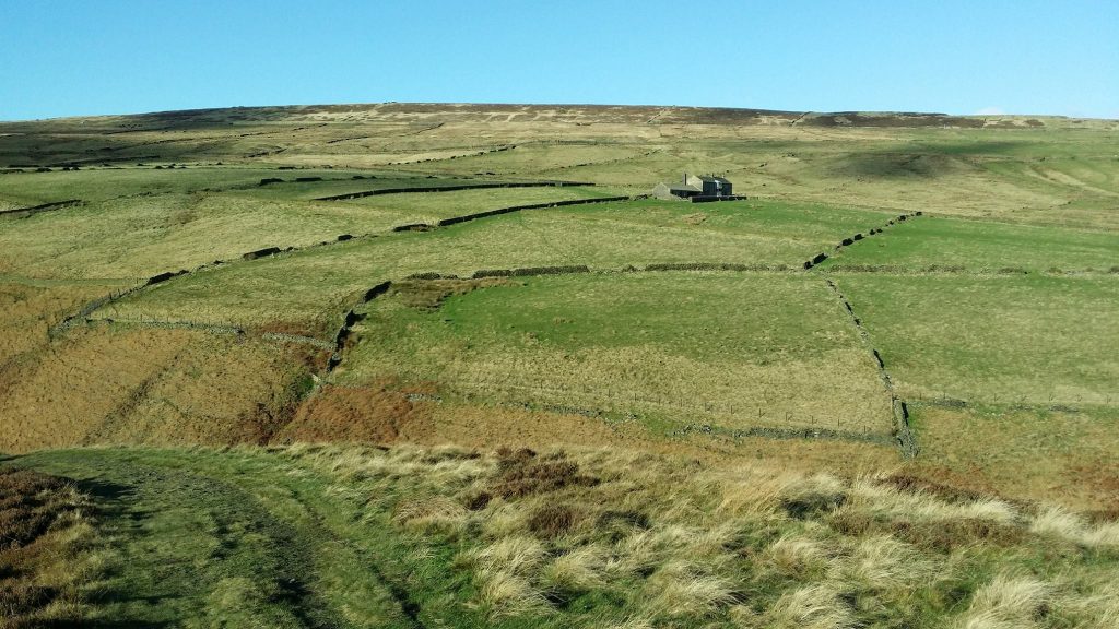
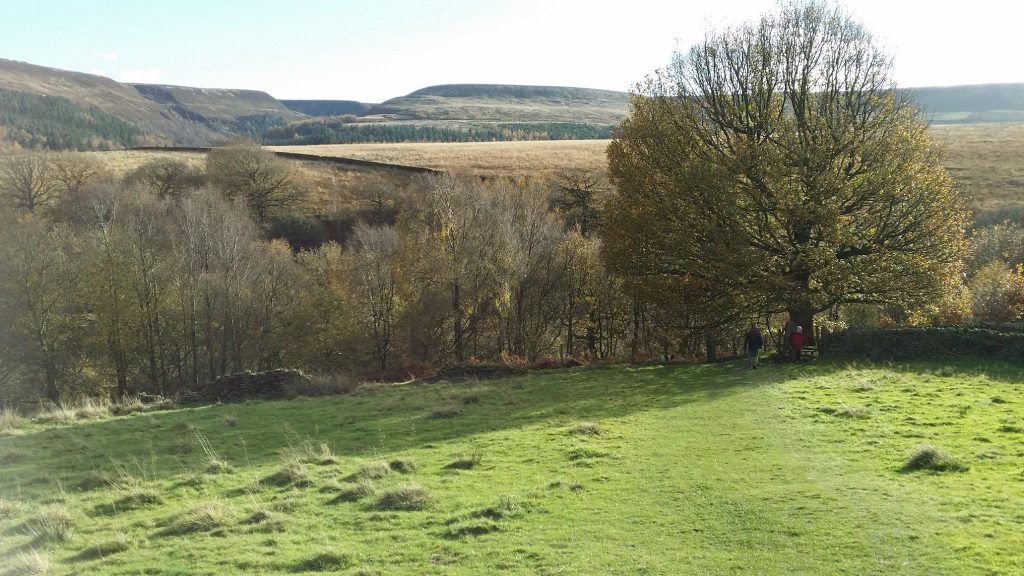
Beautiful landscape around Holme.
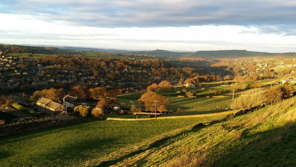
Views over Holmbridge.