North from Storiths to Barden Fell via Posforth Gill and the Valley of Desolation, then over to Lord’s Seat followed by Simon’s Seat. Down to Middle Skyreholme before heading further north to visit Trollers Gill. West across to New Road and south by way of Hazler Lane and Stangs Lane to meet the River Wharfe near Drebley. Finally south to Bolton Abbey and Storiths on the Dales Way, which runs alongside the river. A 15-mile walk in the Yorkshire Dales.
Recommended Ordnance Survey Map
The best map to use on this walk is the Ordnance Survey map of the Yorkshire Dales Southern & Western Area, reference OS Explorer OL2, scale 1:25,000. It clearly displays footpaths, rights of way, open access land and vegetation on the ground, making it ideal for walking, running and hiking. The map can be purchased from Amazon in either a standard, paper version or a weatherproof, laminated version, as shown below.
Standard Version
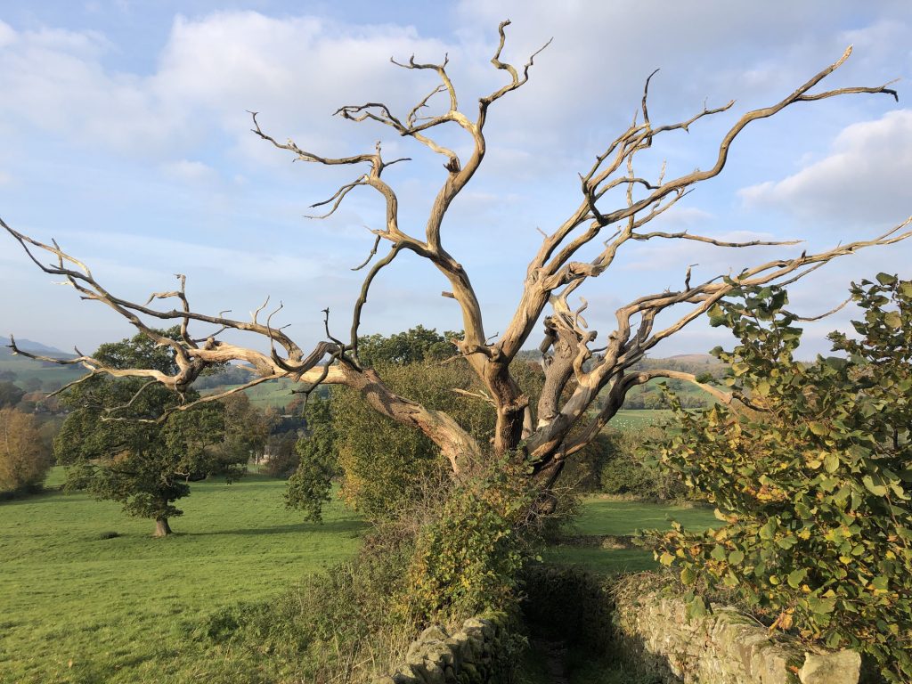
Lifeless tree on the bridleway between Storiths and Bolton Priory.
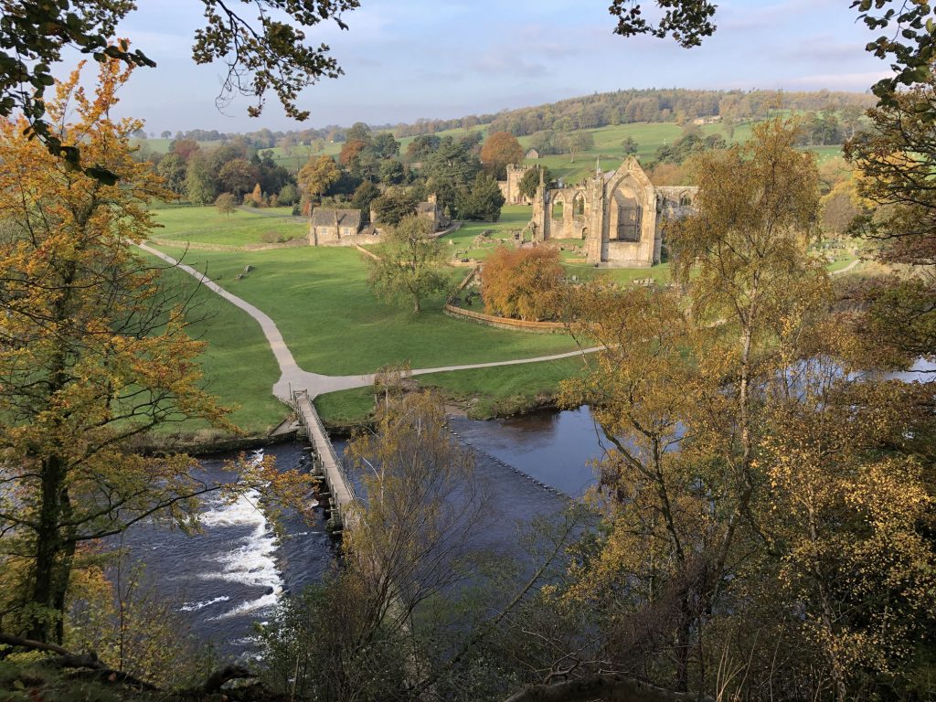
The River Wharfe and the remains of Bolton Priory.
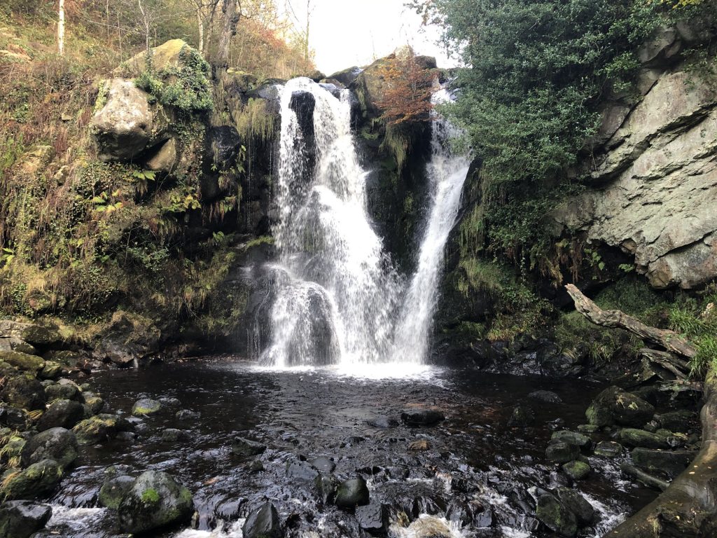
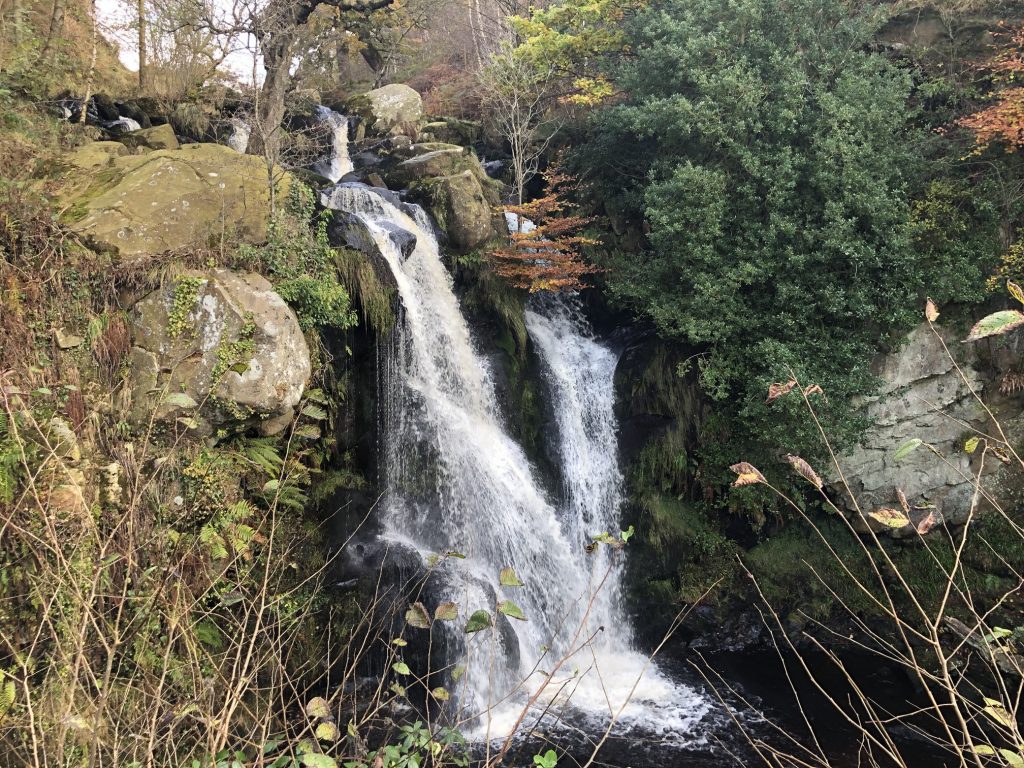
The lower and most impressive of two waterfalls in Posforth Gill.
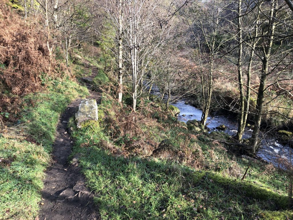
The footpath and beck through the Valley of Desolation, so called because of the devastation caused by a flood in the 19th century.
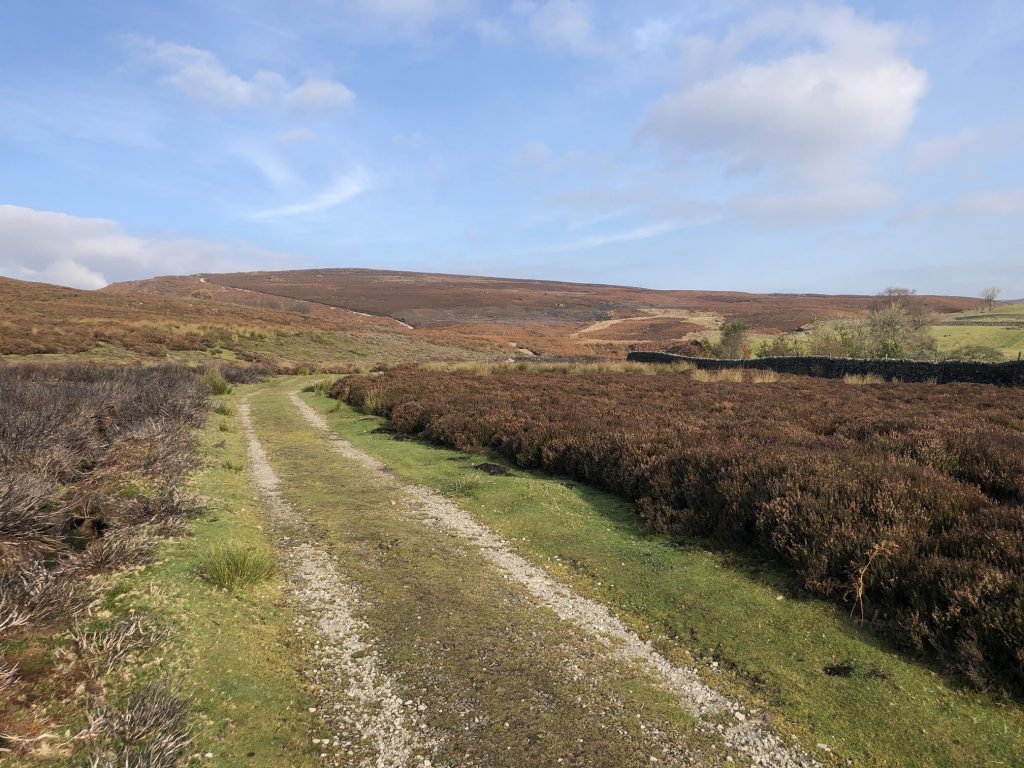
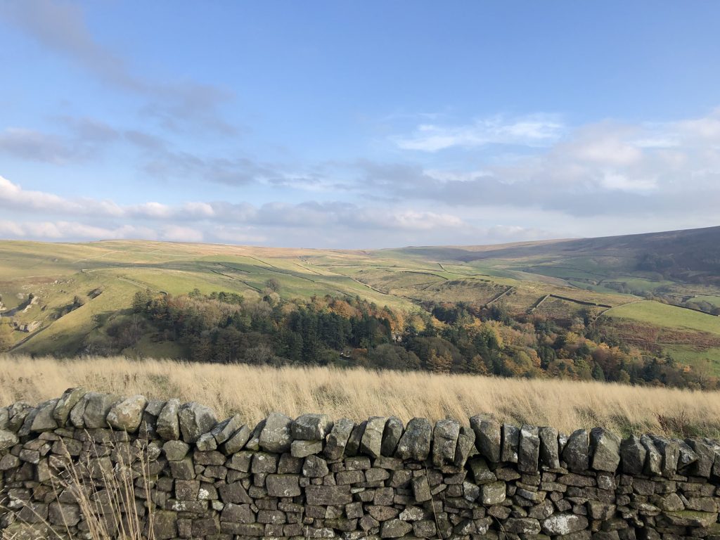
The view north across Barden Fell, shortly after emerging from the woodlands of the Valley of Desolation.
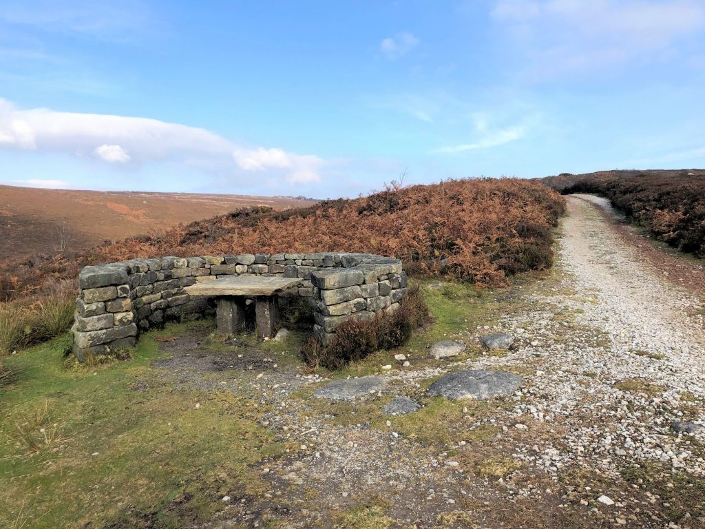
A handy spot for a coffee break by the side of the track on Barden Fell.
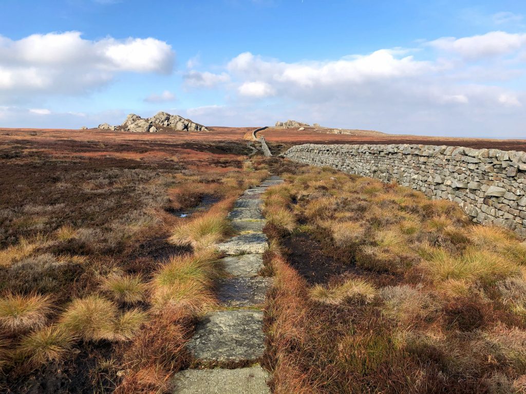
Approaching Lord’s Seat from the south-east on a very nice flagged path.
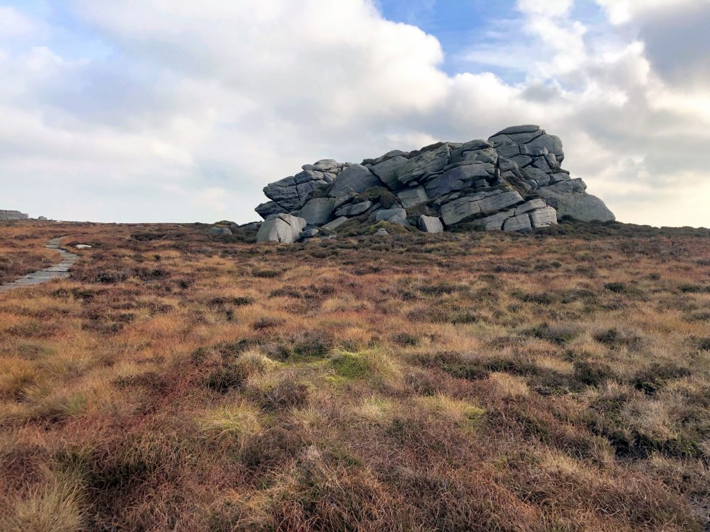
Lord’s Seat.
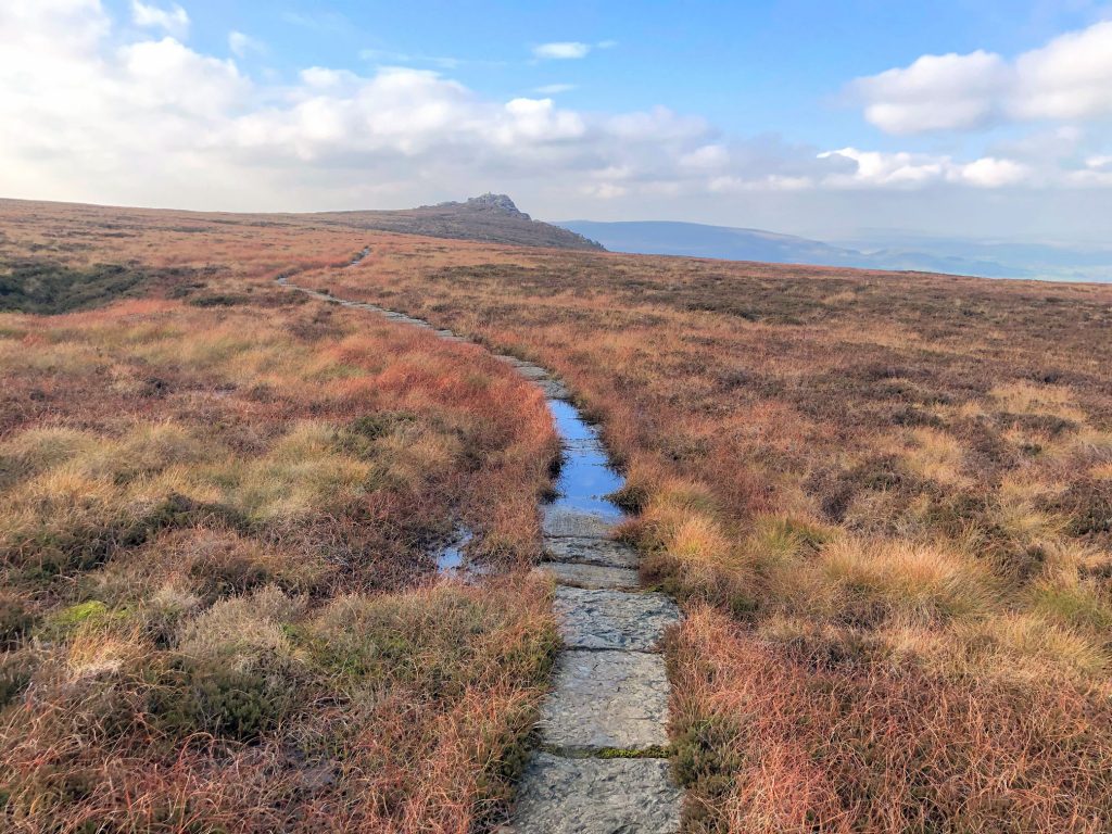
The footpath from Lord’s Seat over to Simon’s Seat.
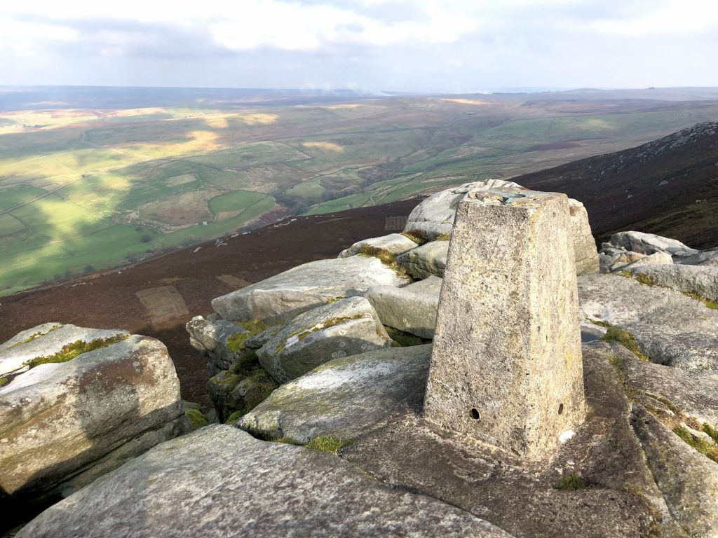
Triangulation pillar on Simon’s Seat, height 485 metres (1591 feet).
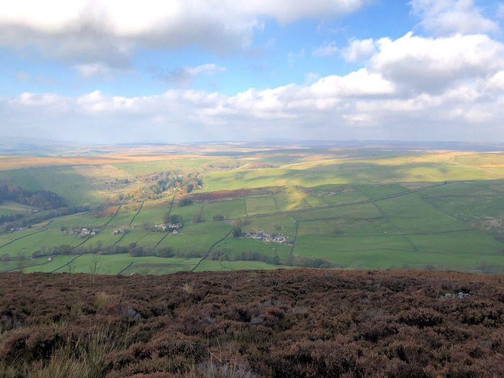
Looking down towards High Skyreholme from the bank near Simon’s Seat. Parcevall Hall, which I’ll pass later on the way to Trollers Gill, is just visible in the trees left of centre.
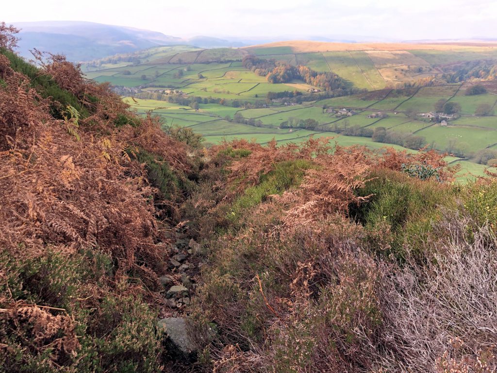
The climb down the steep-sided bank between Simon’s Seat and Dalehead Farm is not to be rushed. Loose stones and rocks underfoot make the descent quite tricky.
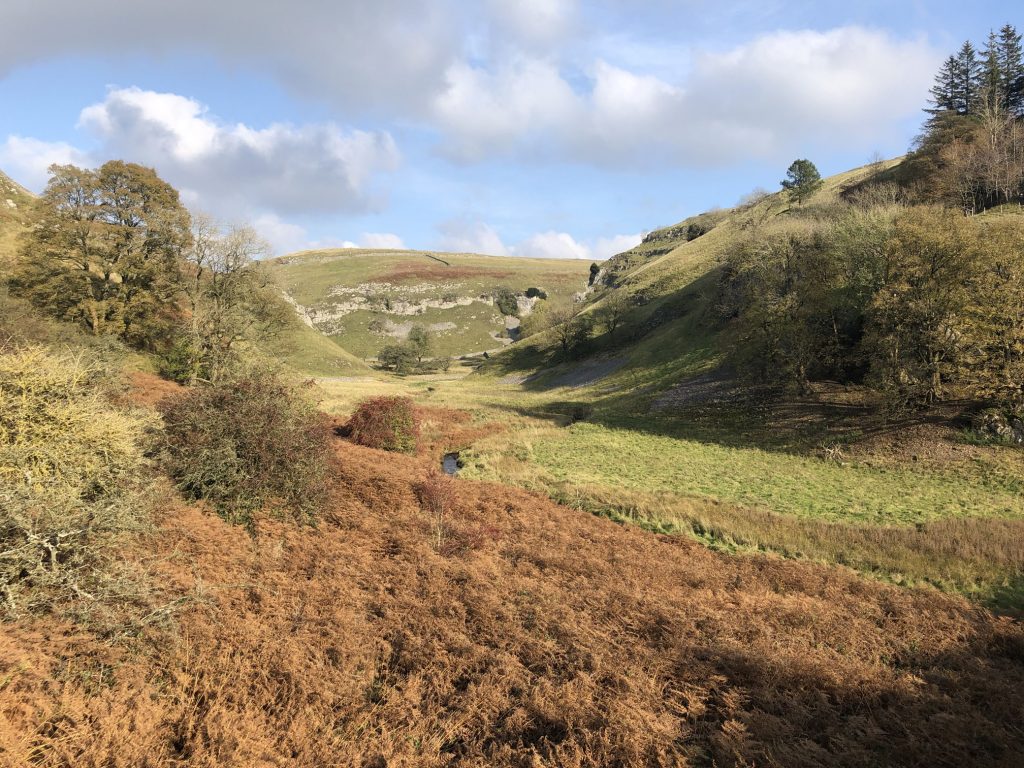
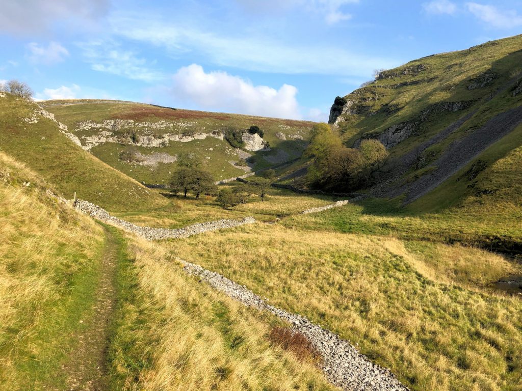
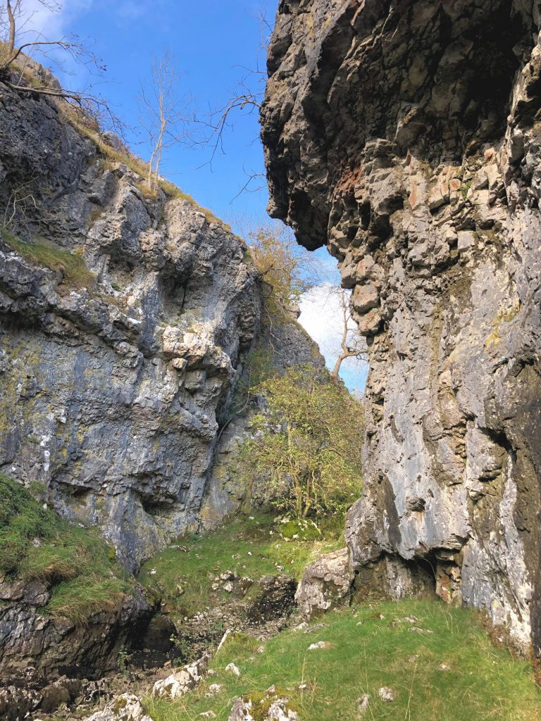
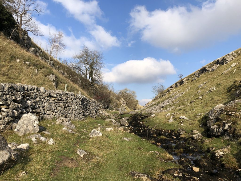
Old Man’s Scar at the end of the Skyreholme Beck valley.
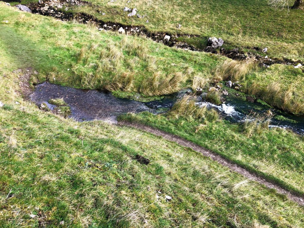
Skyreholme Beck resurfaces near Old Man’s Scar having disappeared underground further upstream.
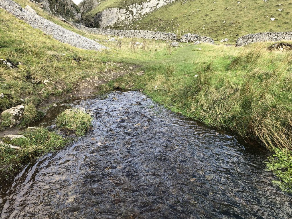
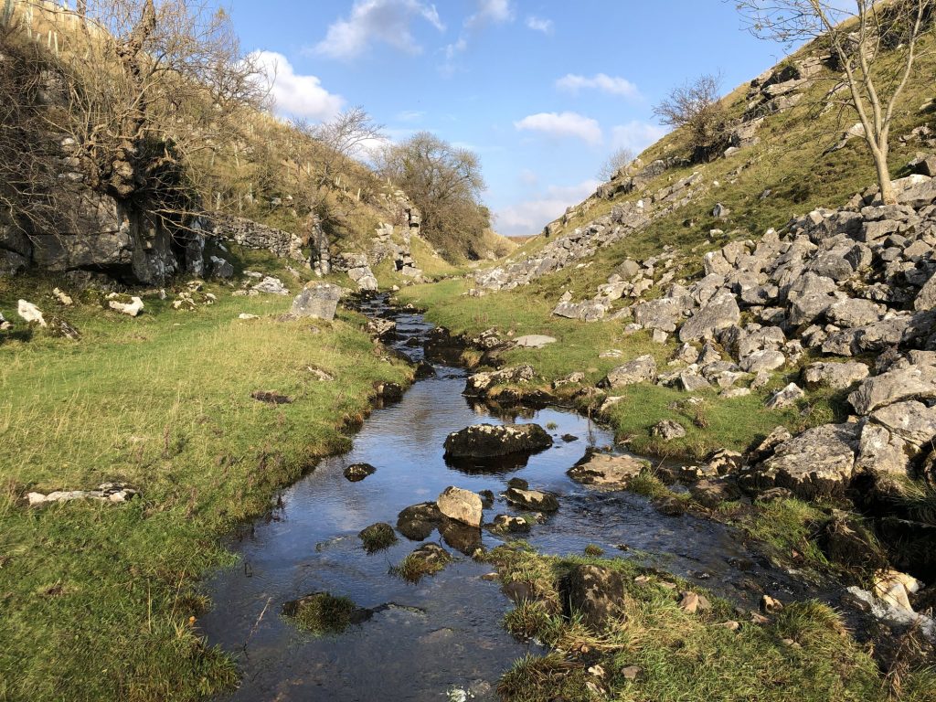
The original aboveground course of Skyreholme Beck through Trollers Gill is now dry most of the time.
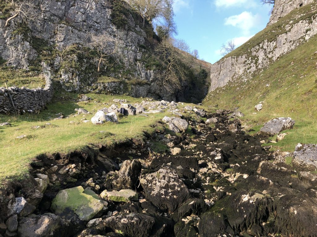
The Trollers Gill limestone gorge has been cut into the landscape by Skyreholme Beck over thousands of years. The gill is about half a mile long and is named after the supposed existence of trolls who used to live there.
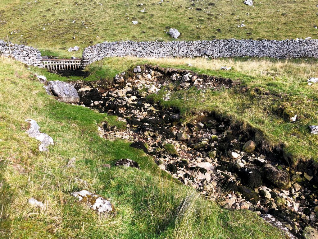
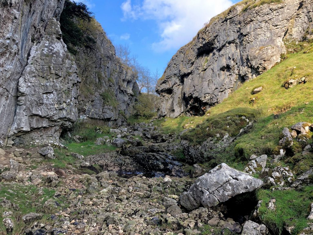
At the northern end of Trollers Gill the stream can be seen slowly but surely becoming weaker and disappearing underground.
The view east from New Road across to the woodland which surrounds Parcevall Hall.
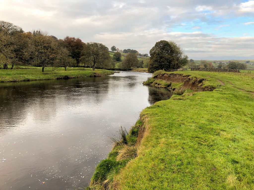
The River Wharfe.
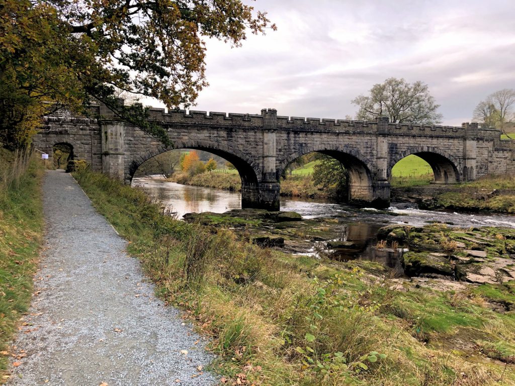
Castellated footbridge over the River Wharfe.
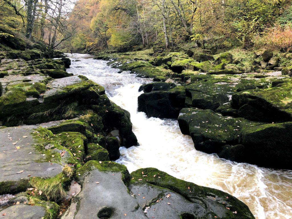
The River Wharfe just a short distance upstream of The Strid. At this point it’s about 25 metres wide, but that’s about to change.

At The Strid, the River Wharfe narrows dramatically to just a couple of metres in places. Rapids form as the river is ‘turned on its side’ and flows through a deep underwater channel. The rocks are slippery and several people have fallen into the water and died.