ADVERTISEMENT
The Deer Park and Seven Bridges Valley on the Fountains Abbey Circular Walk
Start your Fountains Abbey circular walk from the Fountains Abbey and Studley Royal Visitor Centre. There are two large free car parks to choose from, car park A and car park B, both reached from the roundabout on the Fountains Abbey access road near the visitor centre. Car park A is the closer of the two, and although Fountains Abbey can get very busy, both are large and car park A has an even larger overflow area. The car parks also have charging points for electric vehicles. Note that both are locked at 6 pm according to the signs.
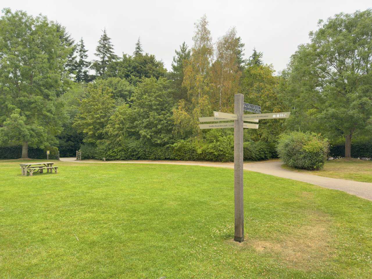
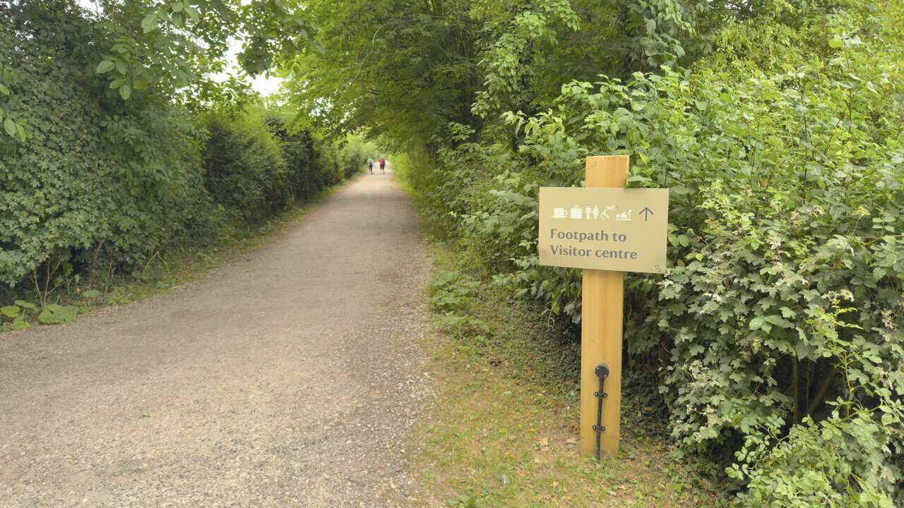
After parking, make your way to the entrance of the visitor centre, where you’ll find a signpost on the grassy picnic area in front of it. Follow the route for St Mary’s Church and Studley Royal Deer Park. A further sign directs you along a surfaced stone path signposted to St Mary’s Church and Studley Royal Water Garden via Deer Park. Follow this for about a third of a mile with woodland on your left and a large hedgerow on your right, running parallel to the Fountains Abbey access road. At the wooden gates, turn right to enter Studley Royal Deer Park, again signposted to St Mary’s Church and Studley Royal Water Garden via Deer Park.
Immediately after entering the park, turn right along a grassy path signposted to the Studley Royal Entrance and Studley Royal Water Garden. Keep to the main path and follow it downhill to the car park beside Studley Lake. Take the second road on the left down to the water, signposted to the Seven Bridges Valley. Walk around the water’s edge and cross the footbridge beside the weir, then turn left onto the stony track, still signposted for the Seven Bridges Valley. Follow this for about half a mile through the valley, crossing five arched stone bridges over the River Skell.
ADVERTISEMENT
You’ll reach the metal gates that lead out of Studley Royal Deer Park and into Chinese Wood. Continue along the track through the wood for about a quarter of a mile, looking out for the footbridge over the River Skell on your right. Cross it and follow the path uphill through the woodland. At the T-junction at the top of the hill, turn left, then leave the woodland through a gate and follow the public footpath across the fields of Hum Hill. Aim for the farm buildings of Whitcliffe Hall ahead of you, with a fence and a line of old twisted hawthorns to guide you along this stretch.
When you reach the tarmac lane at Whitcliffe Hall, turn left and continue straight ahead, passing the farm buildings on your right. Follow this lane, Whitcliffe Lane, north for about three quarters of a mile. At the crossroads at the bottom of Whitcliffe Lane, turn left onto Hell Wath Lane. This is roughly the halfway point of your Fountains Abbey circular walk.
Follow Hell Wath Lane straight ahead, ignoring the right turn into Hell Wath Grove, and pass a large car parking area and Ripon City Panthers Junior Football Club on your right. Continue past Hell Wath Cottage and stay on the public bridleway straight ahead through a gate. Cross the bridge over the River Skell and keep following the bridleway north for about half a mile. At the crossroads where the bridleway meets another public footpath, turn left, signposted to Fountains Abbey. Follow this footpath for just under half a mile to reach the village of Studley Roger.
ADVERTISEMENT
At the village, cross the road and take the public footpath directly opposite. Follow it straight ahead between the fields and go through a metal gate into Studley Royal Deer Park, where a large interpretation board displays a map of the area. Rather than following the grassy path straight ahead, turn right in the direction of Studley Hall Stables and the site of the lost Studley Hall. The map on the board makes a useful guide, as it shows the main grassy paths and hard-surfaced lanes across the deer park.
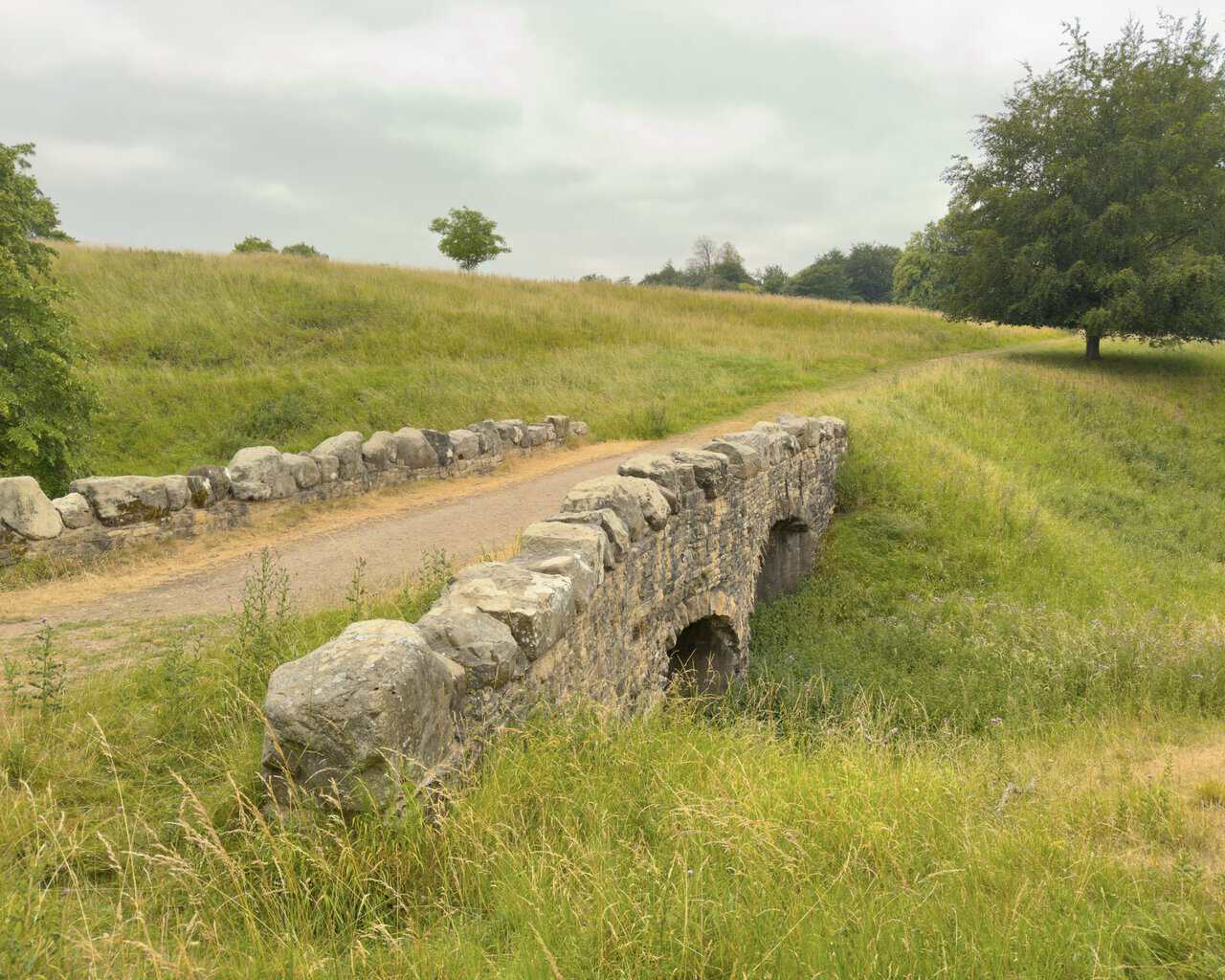
Continue along the main grassy path until it splits at a fork, and take the left-hand path. A little further on you’ll reach a T-junction with another path. Turn right here and follow the path down to a bridge whose parapets are built from very large stone blocks. Cross it and shortly afterwards you’ll reach a hard-surfaced lane. Turn left and follow it towards Studley Royal House, which stands on your right.
At the driveway leading to Studley Royal House, rather than carrying straight on along the hard-surfaced lane, take the grassy path on your right, heading diagonally across the fields. Halfway across, the path forks, so take the right-hand branch. When you reach the hard-surfaced lane near Choristers’ House, turn right. Walk past the front of the National Trust holiday cottage called Choristers’ House and then past St Mary’s Church, following the lane to the gates that lead out of the deer park. Turn left and follow the path for about a third of a mile all the way back to the visitor centre and car park to finish your Fountains Abbey circular walk.
Fountains Abbey Circular Walk: Maps and Tools
Visit either the OS Maps website or the Outdooractive website to view this walking route in greater detail. Both platforms offer a range of features, including the ability to print the route, download it to your device, and export the route as a GPX file. You can also watch a 3D fly-over and share the route on social media.
Fountains Abbey Circular Walk: Distance, Duration, Statistics
Distance: 6 miles
Distance: 9½ kilometres
Duration: 2¾ hours
Ascent: 501 feet
Ascent: 153 metres
Type: Circular walk
ADVERTISEMENT
Recommended Ordnance Survey Map
The best map to use on this walk is the Ordnance Survey map of Nidderdale, reference OS Explorer 298, scale 1:25,000. It clearly displays footpaths, rights of way, open access land and vegetation on the ground, making it ideal for walking, running and hiking. The map can be purchased from Amazon in either a standard, paper version or a weatherproof, laminated version, as shown below.
Weatherproof Version
Ordnance Survey map of Nidderdale, reference OS Explorer 298, scale 1:25,000
About Fountains Abbey and Studley Royal
A World Heritage Landscape
Fountains Abbey and Studley Royal sit in the wooded valley of the River Skell, a few miles south-west of Ripon in North Yorkshire. Together they form one of the most remarkable historic landscapes in the country, and in 1986 they were recognised as a UNESCO World Heritage Site under the official name Studley Royal Park including the Ruins of Fountains Abbey. The abbey ruins are the largest monastic remains in Britain, and around them lies a Georgian water garden of lakes, canals, temples and follies, all set within an ancient deer park. It is this rare pairing of medieval ruin and designed landscape that makes the estate such a rewarding setting for a Fountains Abbey circular walk.
The Founding of Fountains Abbey
The abbey owes its beginnings to a dispute. In 1132 thirteen monks left the Benedictine abbey of St Mary’s in York in search of a simpler and stricter way of life, and were taken under the protection of Thurstan, the Archbishop of York. He granted them a remote site deep in the Skell valley, with water, wood and stone close to hand, and before long the community adopted the austere rule of the Cistercian order. The name Fountains is usually linked to the many natural springs in the area, though some trace it to the abbey’s French parent house at Clairvaux. Over the next four hundred years the monastery grew into one of the wealthiest in England, its fortune built largely on wool and on vast landholdings across the Yorkshire Dales.
Dissolution and the Years After
That long chapter came to an abrupt end in 1539, when Henry VIII’s Dissolution of the Monasteries swept away religious houses across the country and Fountains was surrendered to the Crown. The following year the abbey and around five hundred acres of land were sold to a London merchant, Sir Richard Gresham, and much of the stonework was gradually robbed away for use elsewhere. One working survivor remains from the monks’ day. Fountains Mill, built by the Cistercians in the twelfth century to grind the monastery’s grain, is the only surviving Cistercian corn mill in the world, and it carried on milling right up to the 1920s.
Related Walk: Similar to the Fountains Abbey Circular Walk
A circular route through Studley Royal on the Fountains Abbey walk
Fountains Hall
Close to the ruins stands Fountains Hall, an elegant Elizabethan mansion built between 1598 and 1604 for Stephen Proctor. Much of its honey-coloured stone came directly from the abbey, so the hall carries a little of the medieval building within its own walls. It passed through several owners over the following centuries before becoming part of the wider estate, and today its handsome front makes a striking contrast with the roofless arches of the abbey close by.
The Aislabies and the Water Garden
The garden that frames the ruins was the vision of John Aislabie. A former Chancellor of the Exchequer, Aislabie withdrew from public life after the collapse of the South Sea Bubble in 1720 and turned his energy instead to the family estate at Studley Royal. From 1718 he laid out one of the finest Georgian water gardens in England, a serene composition of mirror-like ponds, cascades, classical temples and statues threaded along the valley floor. His son William carried the work onwards, extending the landscape eastwards into the wilder Seven Bridges Valley and, in 1767, buying the neighbouring Fountains estate so that the abbey ruins could form the dramatic climax of the garden. Much of what you see on a Fountains Abbey circular walk is the fruit of this father and son’s ambition.
The Deer Park on the Fountains Abbey Circular Walk
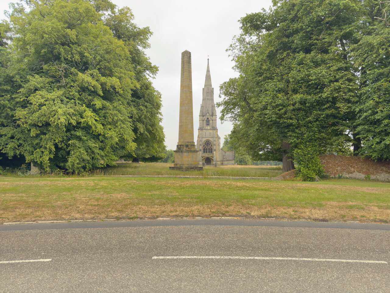
Beyond the water garden lies the medieval deer park, one of the oldest parts of the estate and home to around five hundred red, fallow and sika deer that roam freely among ancient trees. It also holds the Victorian church of St Mary, a masterpiece of Gothic design by the architect William Burges, along with the surviving stable block of Studley Royal House and a tall stone obelisk on the avenue aligned with Ripon Cathedral. The whole estate came into the care of the National Trust in 1983, while the abbey ruins are looked after by English Heritage, and it now welcomes visitors throughout the year with its shop, restaurant and miles of paths. For anyone exploring on foot, a Fountains Abbey circular walk draws all these threads together, from the abbey and its garden to the deer park and the quiet reaches of the River Skell.
Fountains Abbey Circular Walk: My Photos
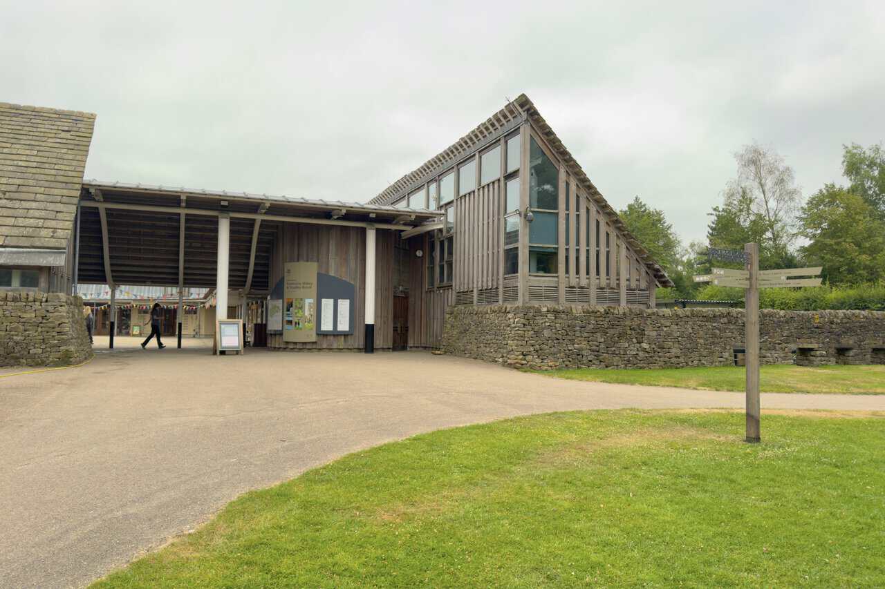
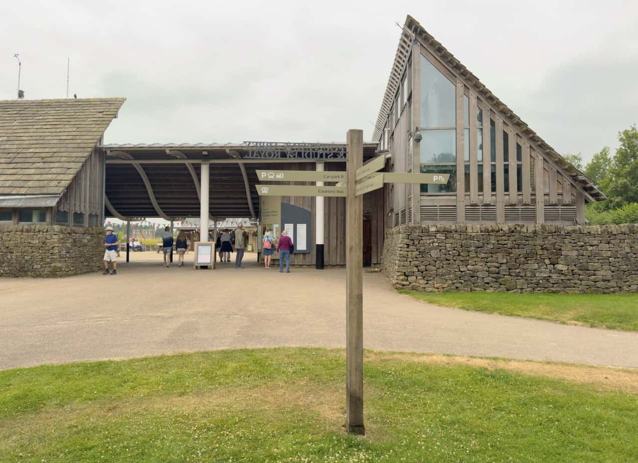
My Fountains Abbey circular walk begins at the Fountains Abbey and Studley Royal Visitor Centre, its timber-clad walls and steeply pitched glazed roof standing out above the dry stone wall. Two large free car parks lie within an easy stroll, and I find plenty of room along with charging points for electric vehicles. One thing worth bearing in mind is that both car parks are locked at 6 pm, so I allow myself enough time to finish the walk.
ADVERTISEMENT
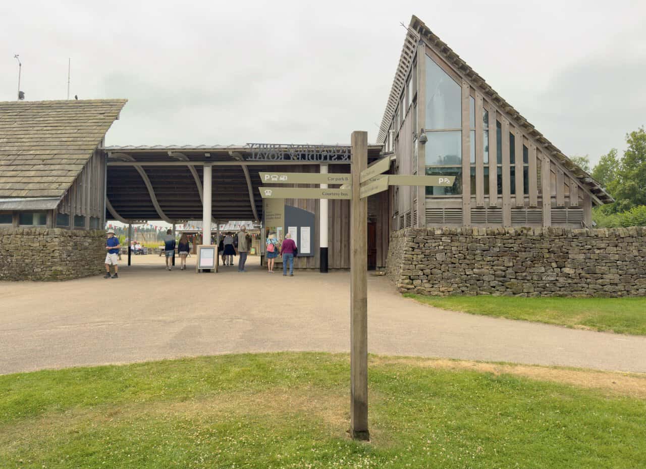
A wooden signpost stands on the grassy picnic area in front of the entrance, pointing the way to all the main parts of the estate. Its arms direct visitors to the visitor centre and entrance, to St Mary’s Church and car park A, and to Studley Royal Deer Park half a mile away. I take the direction for St Mary’s Church and the deer park, and the walk begins in earnest.
Before I pass through the wooden gates into Studley Royal Deer Park, the parkland opens out ahead, the obelisk in the foreground and St Mary’s Church rising behind it. The present stone obelisk was raised around 1815 and marks the end of the long avenue running down towards Ripon, while the church lifts its tall, elegant spire clear of the trees. I’ll come much closer to the church later, so for now I simply pause to enjoy the view.
ADVERTISEMENT
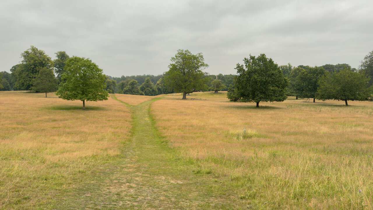
Once inside the park, a grassy path winds ahead towards Studley Lake and I set off along it. The mown track draws a clear line through open parkland, with well-spaced trees rising from the turf on either side. This is classic English deer park scenery, and a gentle, easy way to open the walk.
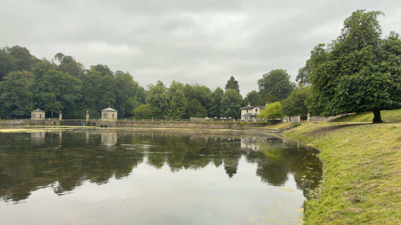
Reaching Studley Lake, I look out across the water to the dam at its southern end. The two small stone buildings along the balustraded dam are the fishing tabernacles, built for John Aislabie and completed in 1728, and they once served as bases for fishing trips out onto the lake. A cascade spills down between them, and the whole composition is one of the earliest features of the great water garden the Aislabies created here.
ADVERTISEMENT
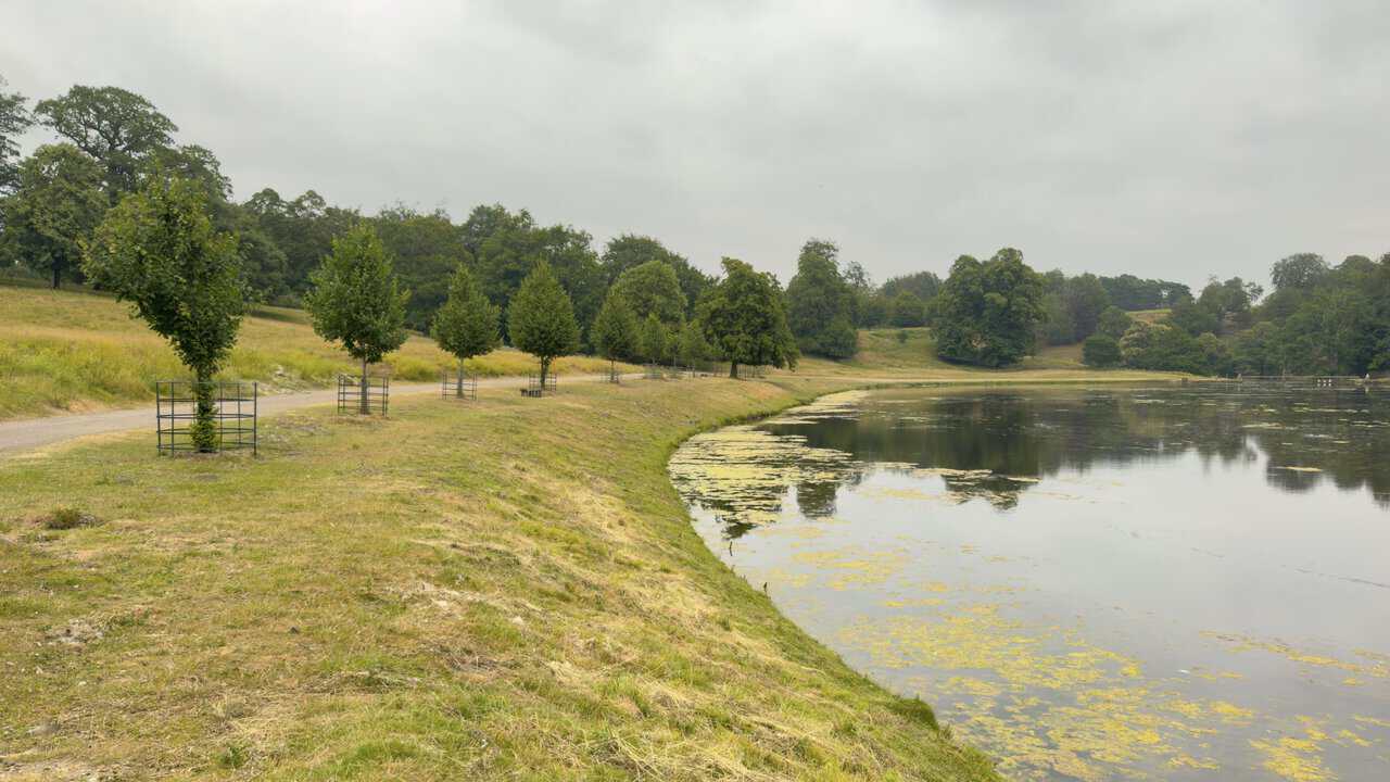
I follow the stone track around the edge of Studley Lake. The lake marks the furthest reach of the eighteenth-century water garden, and with young trees in their guards lining the bank, the walking is calm and level, an unhurried early stage of the Fountains Abbey circular walk.
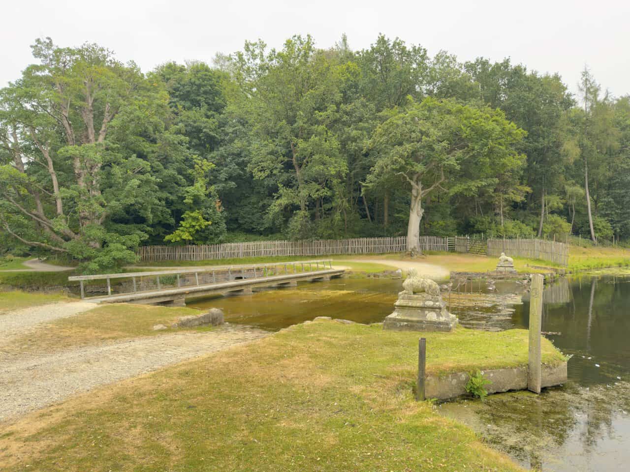
At the northern end of Studley Lake I cross the footbridge over the outflow, where the water slips away and the River Skell resumes its course. A stone sphinx rests on a plinth to either side, and this point marks the start of the Seven Bridges Valley ahead.
ADVERTISEMENT
The path leads into the Seven Bridges Valley, one of the most memorable parts of the Fountains Abbey circular walk, where the River Skell winds along the floor of a steep-sided ravine. Here I cross the first of the stone bridges, a low humpbacked arch of rough local stone that carries the path over the water. These rustic crossings replaced earlier wooden ones in the Chinese style, part of the landscape William Aislabie developed from the 1740s to create a picturesque route through the valley.
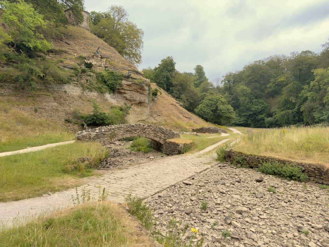
A little further on come the second and third bridges, set close together where the river bends through the valley. Beside them the path dips to a cobbled ford, a reminder that each bridge was built with a ford alongside so the river could be crossed either way. The valley sides steepen into rocky, exposed crags, and high on the ridge stands the Roman Monument, a folly of about 1740 also known as the Devil’s Chimney, which lends this stretch a wilder feel than the open parkland behind me.
ADVERTISEMENT
The fourth bridge comes next, an arch tucked against the green flank of the valley as the path keeps company with the meandering Skell. The slopes climb steeply on either hand, clothed in grass and occasional trees, with woodland crowding their tops.
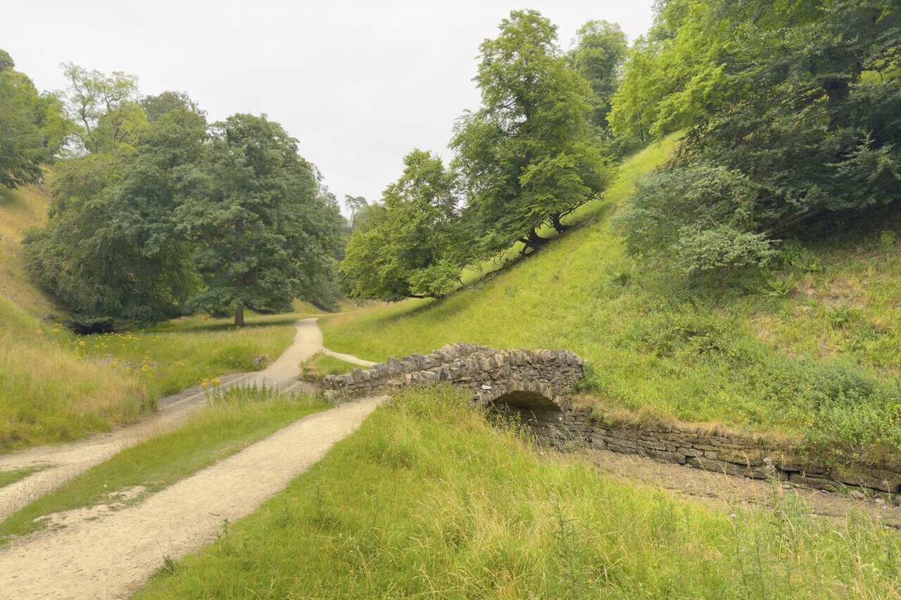
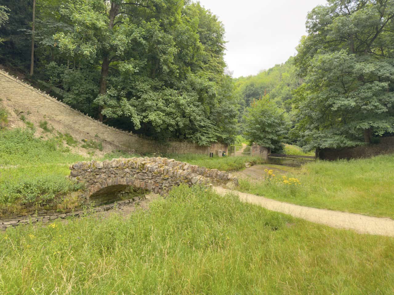
I reach the fifth and last of the surviving bridges, close to where the path leaves the deer park. Of the original seven that gave the valley its name, only these five stand today. Ahead, a walled boundary and gates mark the way out of Studley Royal and into Chinese Wood, where William Aislabie once laid out an elaborate Chinese garden, of which little now remains.
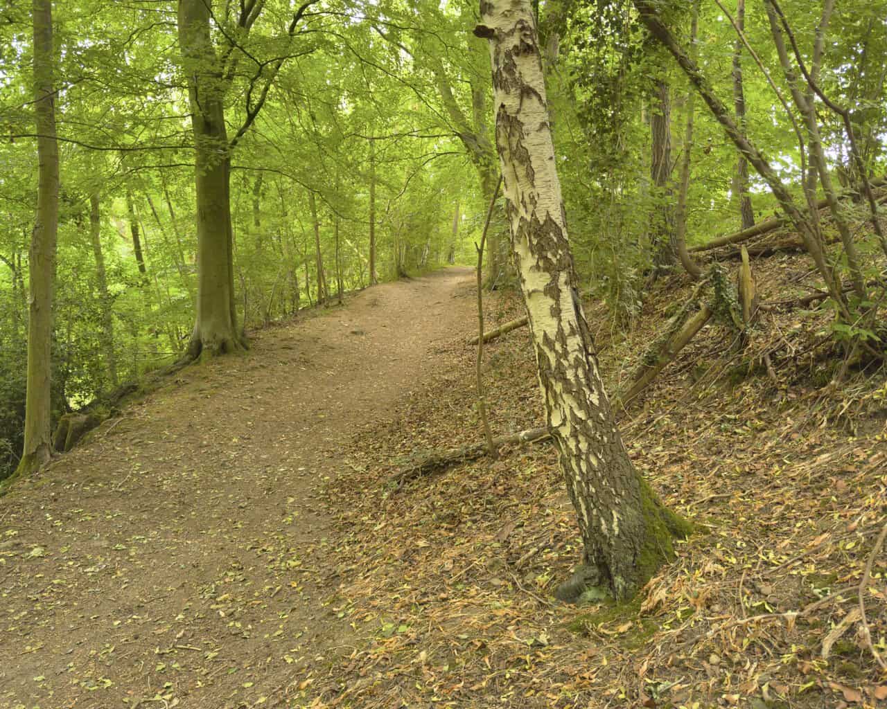
From Chinese Wood the way climbs uphill through a lovely stretch of woodland, a broad earthen path rising steadily between the trees. A silver birch leans across it, its pale bark peeling in dark-edged flakes, while tall beeches stand to the left and the wooded bank drops away below. The fresh green canopy filters the light overhead, and the going is quiet and shaded on this gentle ascent.
ADVERTISEMENT
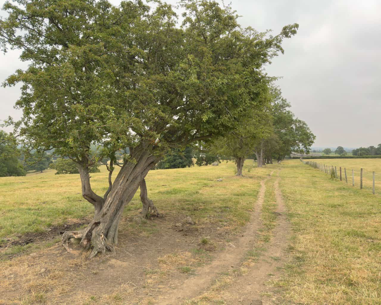
Leaving the woodland behind, I head out across the open fields of Hum Hill, making for the farm buildings of Whitcliffe Hall ahead. A wire fence and a line of old twisted hawthorns guide me along this stretch, their gnarled, leaning trunks telling of long years of exposure on this high ground. A faint path threads through the pale, dry grass, and wide views open out across the surrounding countryside.
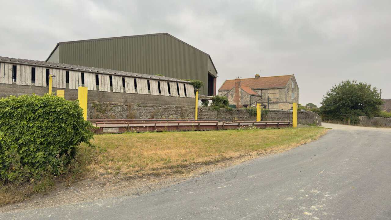
Reaching the tarmac lane at Whitcliffe Hall, I turn left and pass the farm buildings on my right. A large weighbridge sits behind the low stone wall, its yellow posts marking the corner, with a corrugated barn and older timber sheds behind and the stone farmhouse beyond. From here the Fountains Abbey circular walk turns north along Whitcliffe Lane.
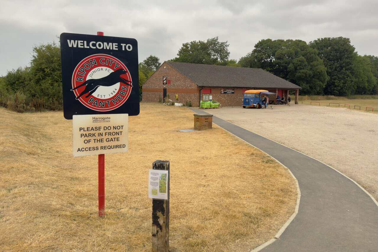
A little further on I pass Ripon City Panthers Junior Football Club, its welcome sign set beside the lane in front of the brick clubhouse. The club was formed in 1984 and spent its first twenty years without a ground of its own, until this home at Hell Wath was officially opened in 2005. It now fields teams across a wide span of ages, from the Panthers Cubs of four to six upwards, and as I pass, a vintage blue and orange coffee van is doing steady trade beside the clubhouse.
ADVERTISEMENT
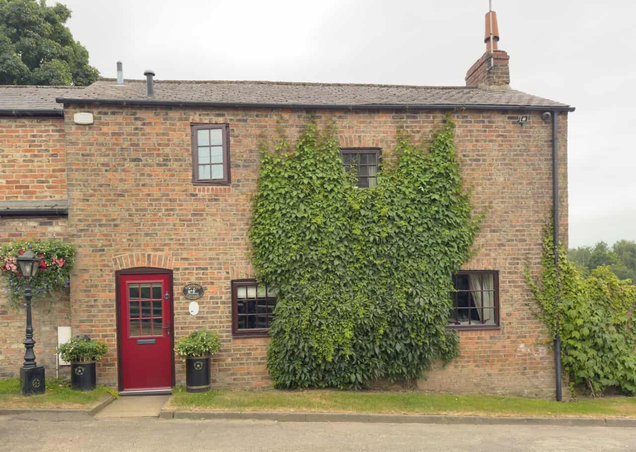
The way carries on past Hell Wath Cottage, a handsome brick house set hard against the lane. Virginia creeper spreads across much of its frontage and softens the brickwork around the windows, while a bright red door, hanging baskets and flower-filled planters give it a well-tended, welcoming air. An old-fashioned lamp post stands by the doorway, adding to the quiet charm of this corner of the route.
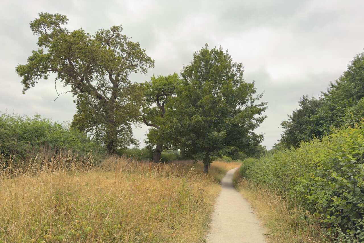
Beyond Hell Wath Cottage I cross the bridge over the River Skell and keep north along the bridleway. A narrow path threads between banks of tall grasses and scrub, with a fine spreading oak and other well-grown trees ahead against a grey sky. The going is quiet and level here, an easy and pleasant stretch of the Fountains Abbey circular walk, well away from the lanes.
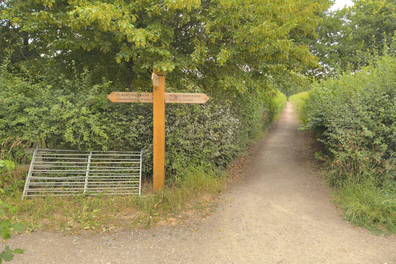
At the crossroads where the bridleway meets another public footpath, I turn left, following the wooden fingerpost for Fountains Abbey two miles off, with Ripon a mile and a half the other way. The path runs on between tall hedgerows, a green and enclosed corridor after the open ground behind me. I keep to it for just under half a mile to reach the village of Studley Roger.
ADVERTISEMENT
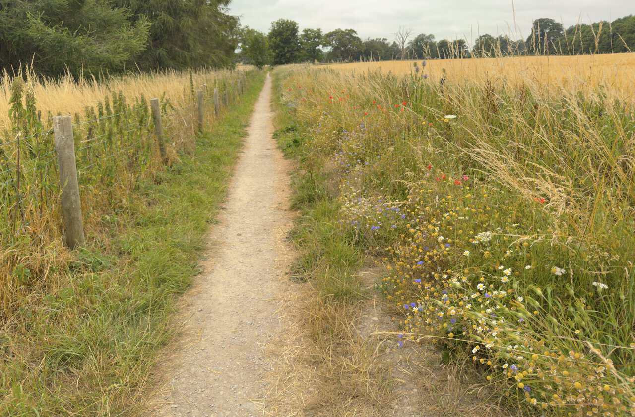
From the village of Studley Roger, a delightful public footpath leads directly ahead between the fields. It runs dead straight, a wire fence on one side and an arable field on the other, its margin thick with wildflowers, poppies, cornflowers and daisies threaded through the tall grasses.
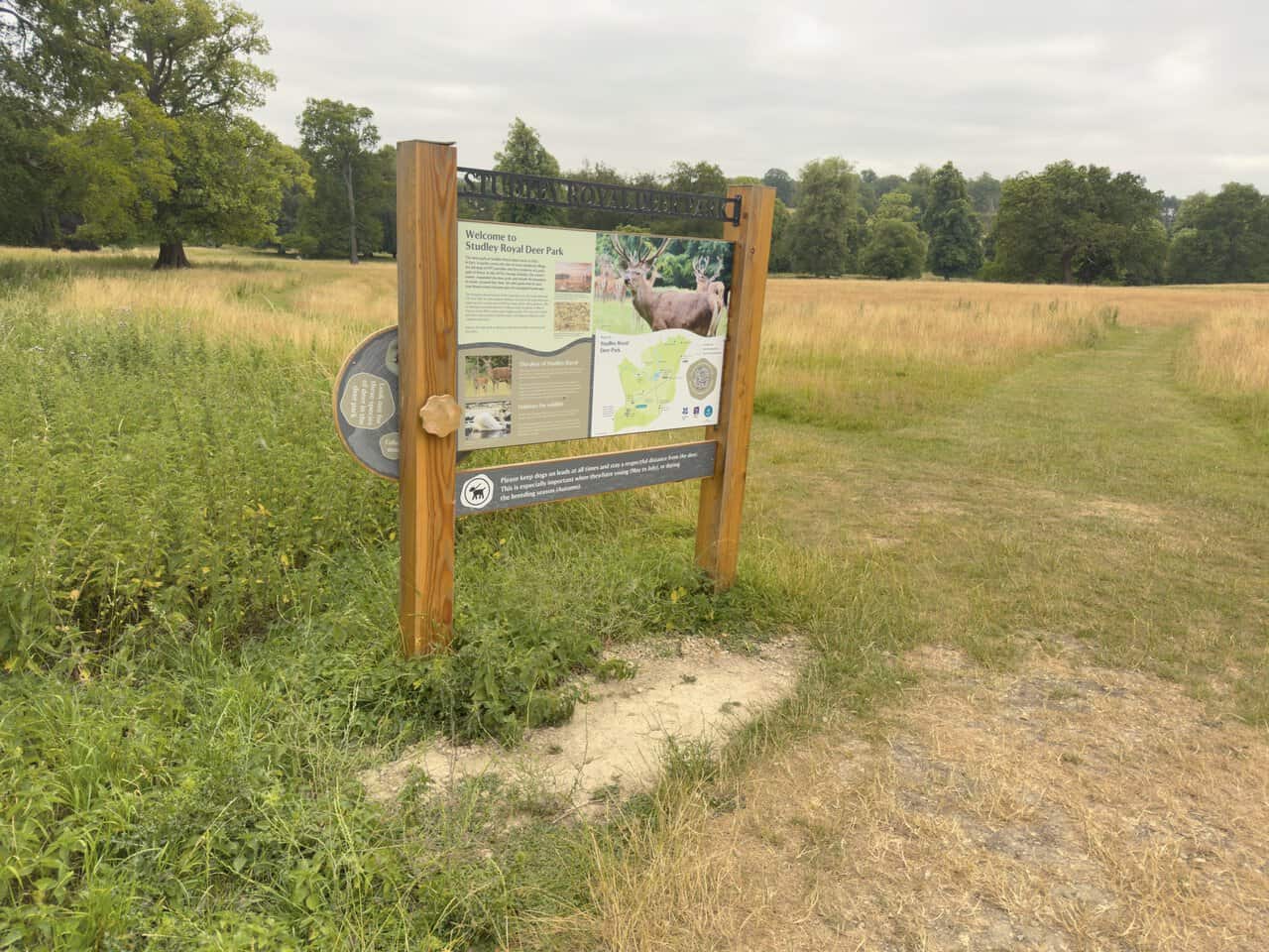
Through a metal gate I re-enter Studley Royal Deer Park, where a large interpretation board with a map of the area helps me get my bearings. The board notes that the grassland is grazed by herds of red, fallow and sika deer, and I study the map for a moment before carrying on with my Fountains Abbey circular walk.
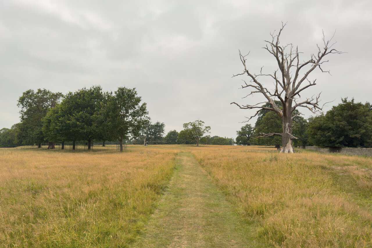
Rather than taking the grassy path straight ahead, I turn right towards Studley Hall Stables and the site of the lost Studley Hall, the great house that once presided over this part of the estate. The mown path leads on across open parkland, and among the well-grown trees one bare, skeletal specimen stands out starkly against the grass.
ADVERTISEMENT
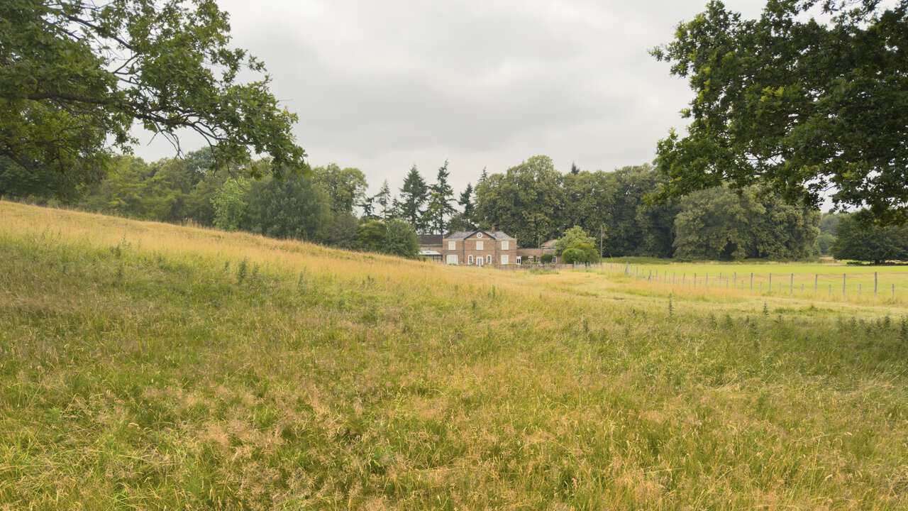
Following the path on through the park, I catch sight of Wheatbrigs House in the distance to my right. The park itself is one of the oldest parts of the whole estate, dating back to 1343 and taking in the site of a lost medieval village. Many of the great trees across the grassland were planted by the Aislabie family between 1717 and 1756, when the park was shaped as part of their designed landscape.
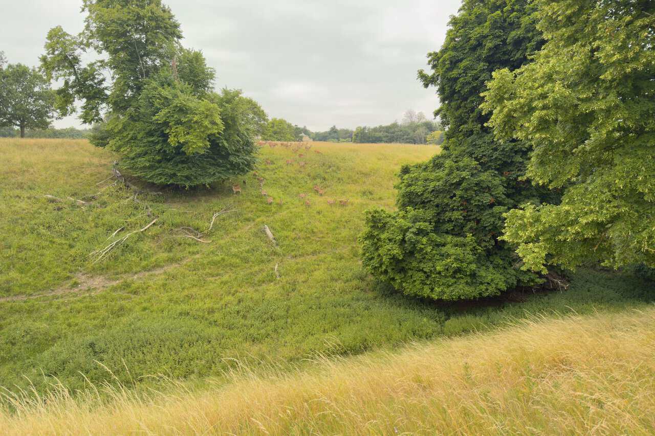
I’m glad I made time to explore this park, for here in a small hollow I come upon a herd of deer. Fallow deer have grazed at Studley Royal for more than five hundred years, joined now by red and sika, all of them still reckoned wild even though they live within the park. Watching them drift through the long grass is one of the real pleasures of this Fountains Abbey circular walk.
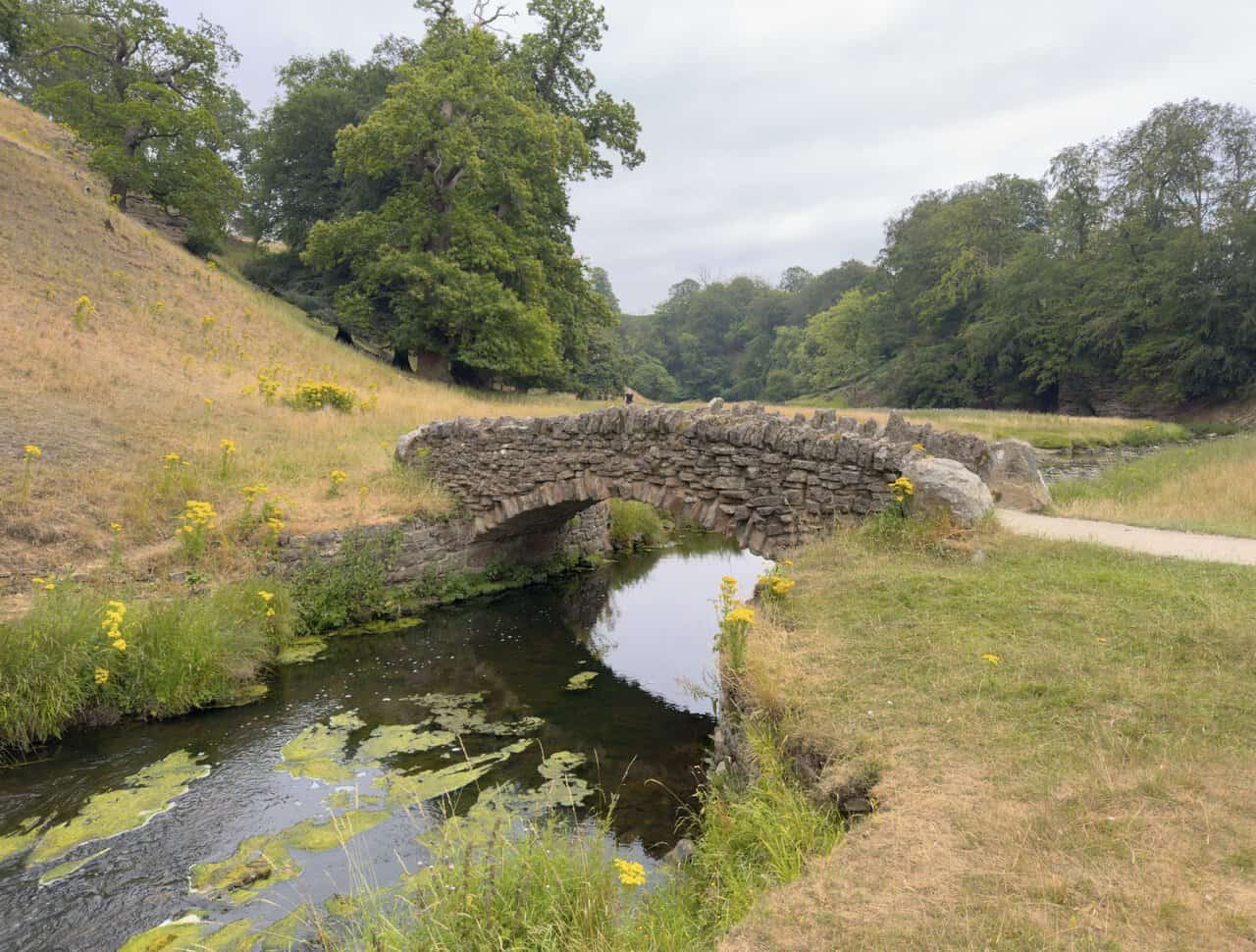
A little further on I come to the stone bridge, its parapets built from great squared blocks. It carries the path low across a dip in the parkland, a simple, solid crossing well matched to the open sweep of the deer park.
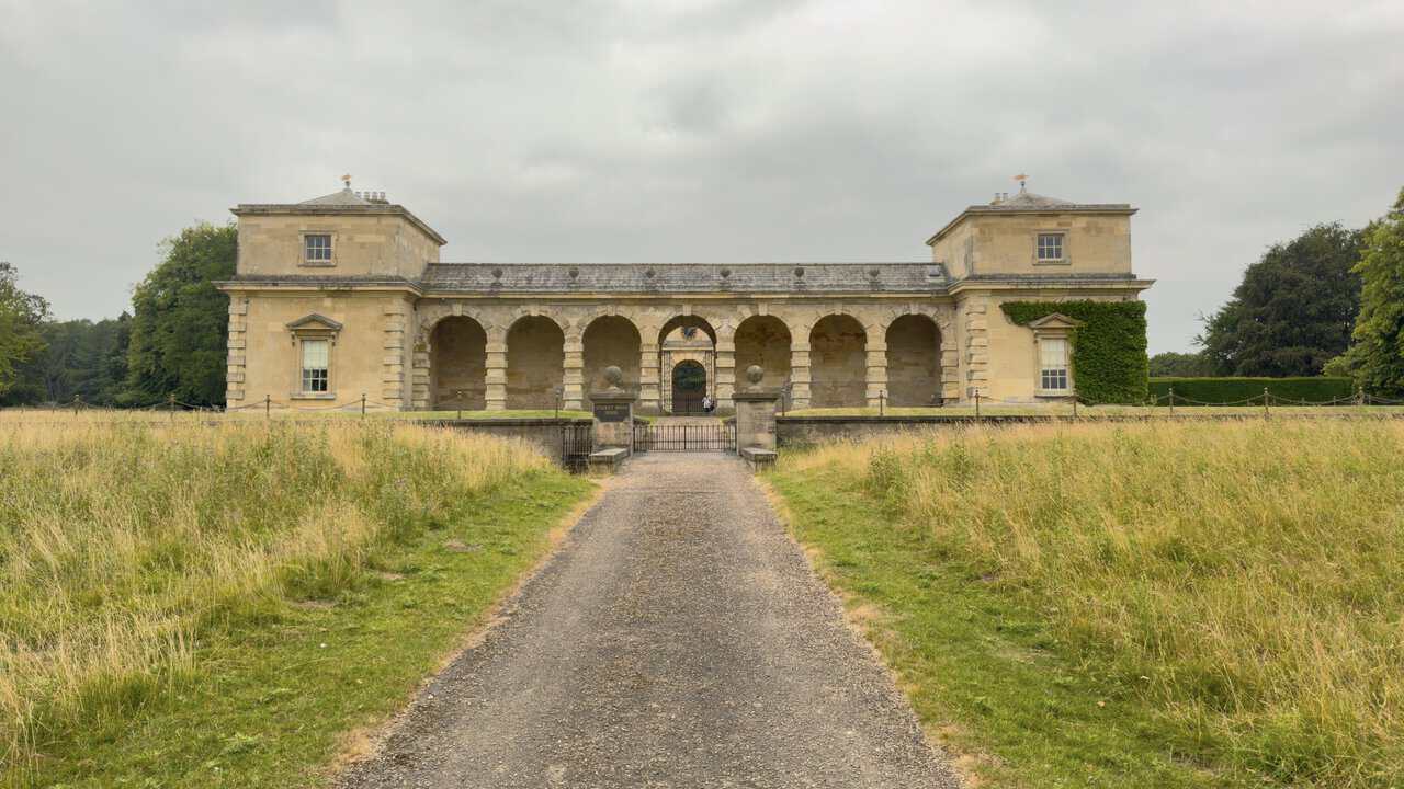
Studley Royal House stands to my right, an imposing Palladian building of honey-coloured stone, its two pavilion towers linked by an arcaded central range. This is not the original mansion but the estate’s former stable block, built for John Aislabie between about 1728 and 1732. The great house it once served stood close by until fire destroyed it in 1946, after which the surviving stables became the private residence seen here today.
ADVERTISEMENT
From Studley Royal House I take the grassy path that strikes off diagonally across the fields. The mown track runs through open parkland studded with fine old trees, an enjoyable leg of the Fountains Abbey circular walk.
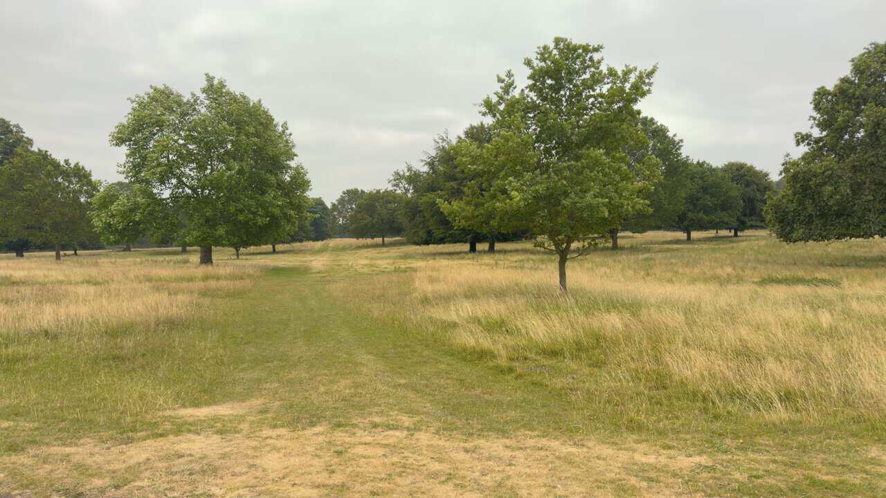
Halfway across, the path forks and I bear right. Parkland trees rise here and there from the turf, and I catch further glimpses of the deer grazing among them as I go.
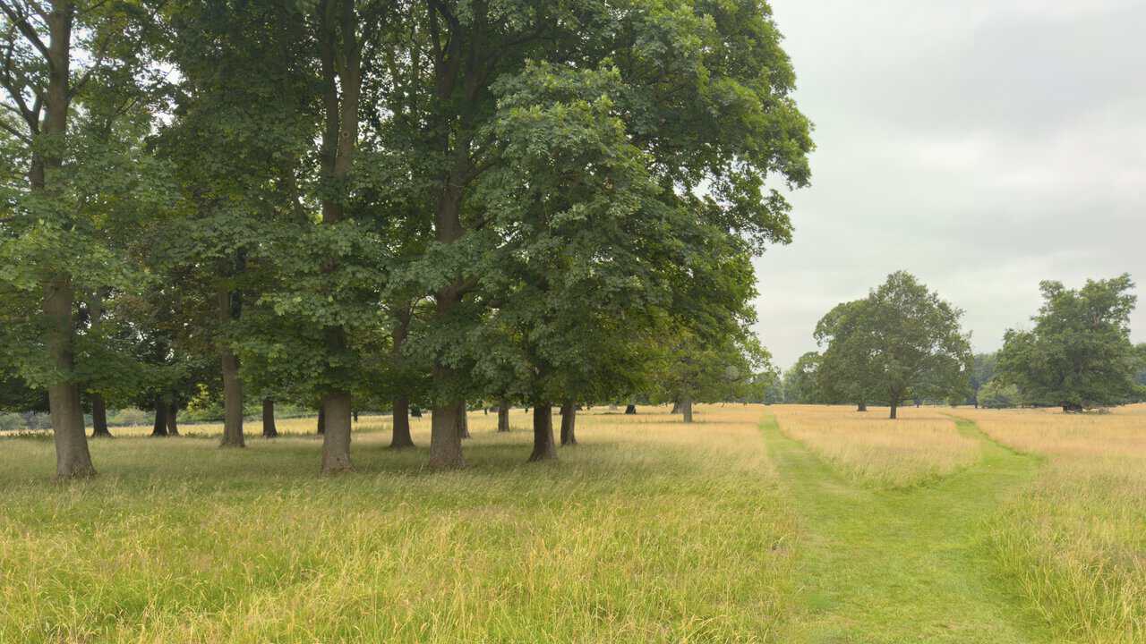
The grassy path leads on towards Choristers’ House, which now comes into view ahead. Beyond it the spire of St Mary’s Church lifts above the trees, drawing me on towards the far side of the park.
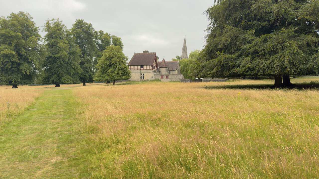
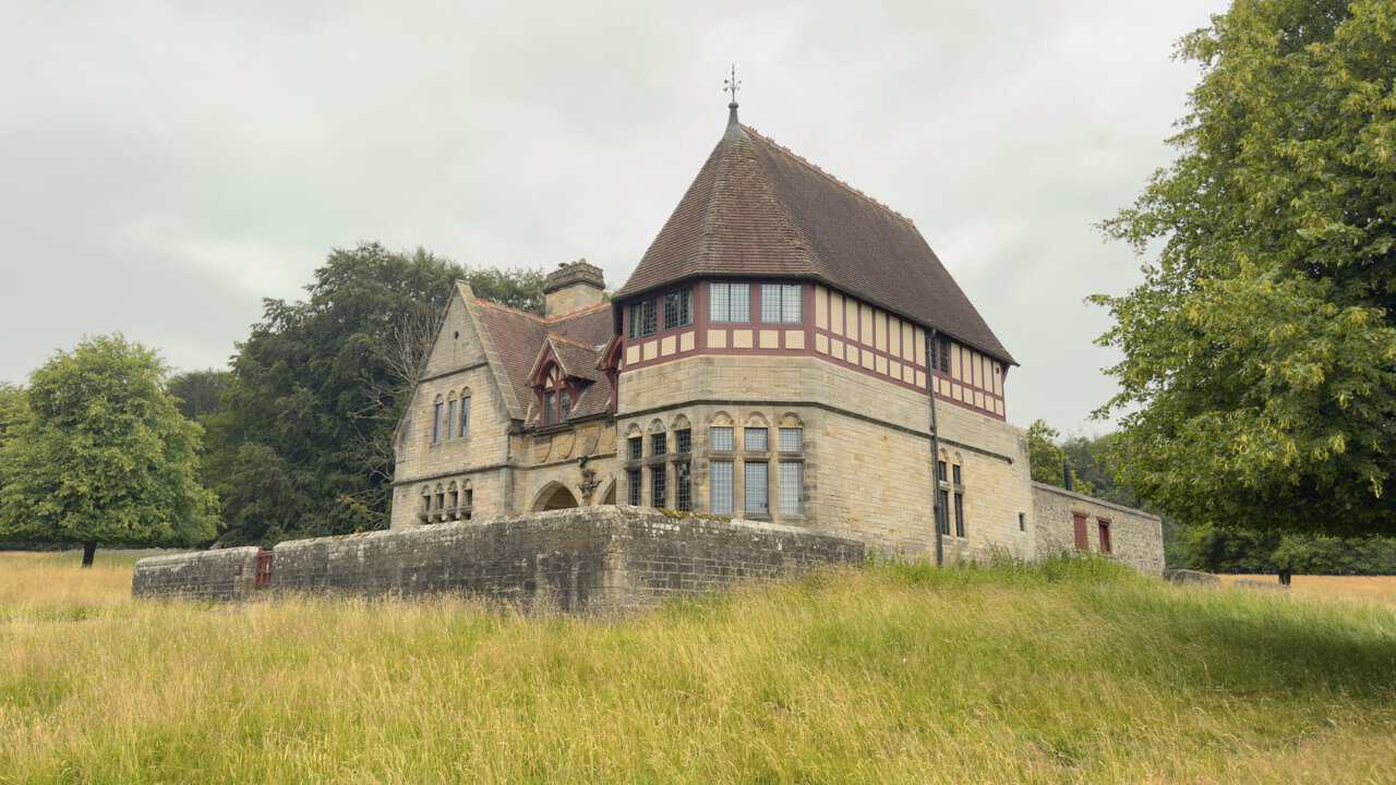
The path brings me up to Choristers’ House, a striking building from every angle. It was designed by William Burges, the architect also responsible for St Mary’s Church, and built in 1873 for the first Marquess of Ripon. Its steep tiled roofs, octagonal turret with a conical cap, decorative timber framing and mullioned windows all display the rich, medieval-inspired manner for which Burges was famous.
ADVERTISEMENT
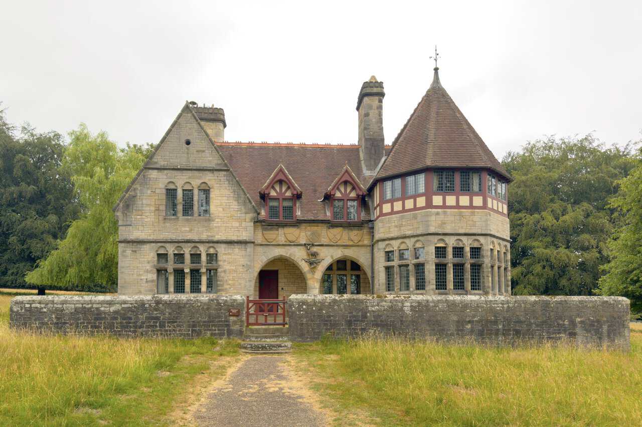
Coming round to the front, I find the twin-arched stone porch, above which are carved heraldic shields and the stag badge of Lord Ripon. The house takes its name from the Marquess’s original intention that it should house a music school or choir along with the church organist, though in the event it seems to have served as a home for the church’s sacristan. Now Grade II* listed and owned by the National Trust, it is let today as a holiday cottage.
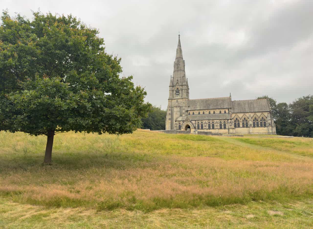
From Choristers’ House the hard-surfaced path leads towards St Mary’s Church, which stands proudly on rising ground ahead. Its soaring spire has been a landmark for much of this Fountains Abbey circular walk, and at last I draw close, a lone tree framing the view across the meadow as I approach.
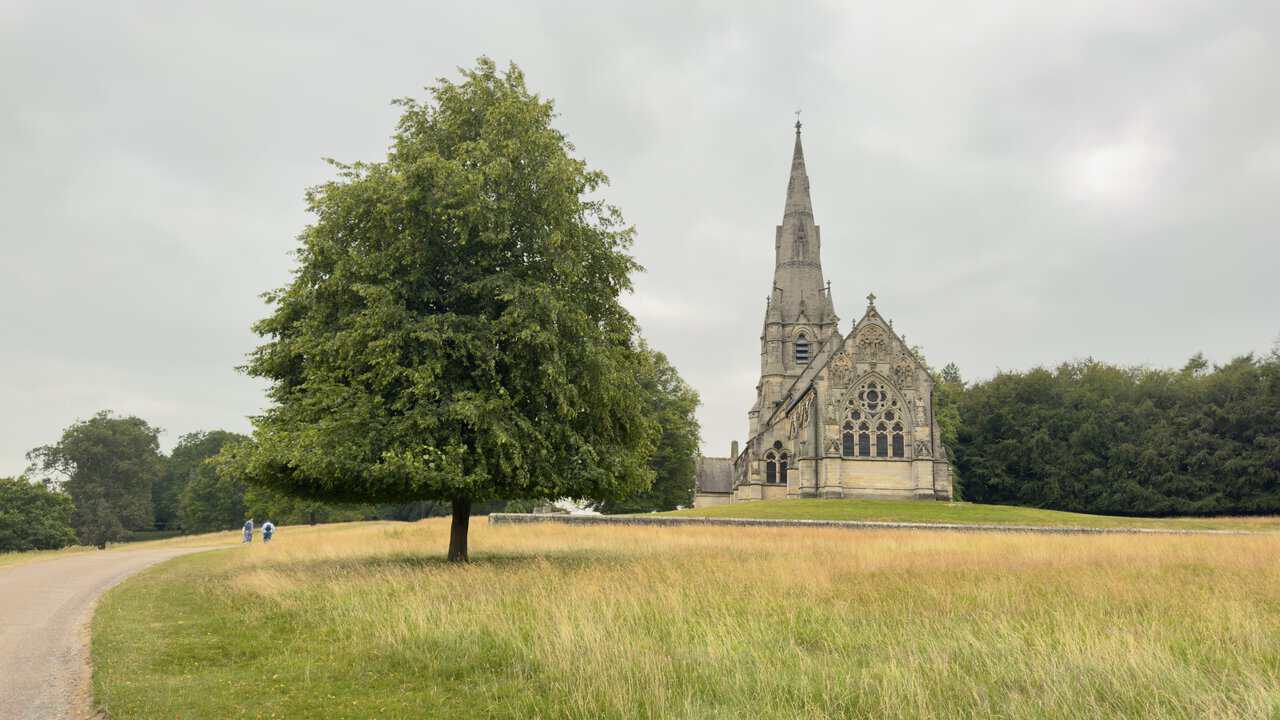
St Mary’s Church was built between 1871 and 1878 by the first Marquess and Marchioness of Ripon as a memorial to the Marchioness’s brother, Frederick Grantham Vyner. He was killed by brigands in Greece in 1870, and the ransom his family had raised but never needed to pay was put instead towards two churches in his memory, of which this is one. Its sister church is Christ the Consoler at Skelton-on-Ure.
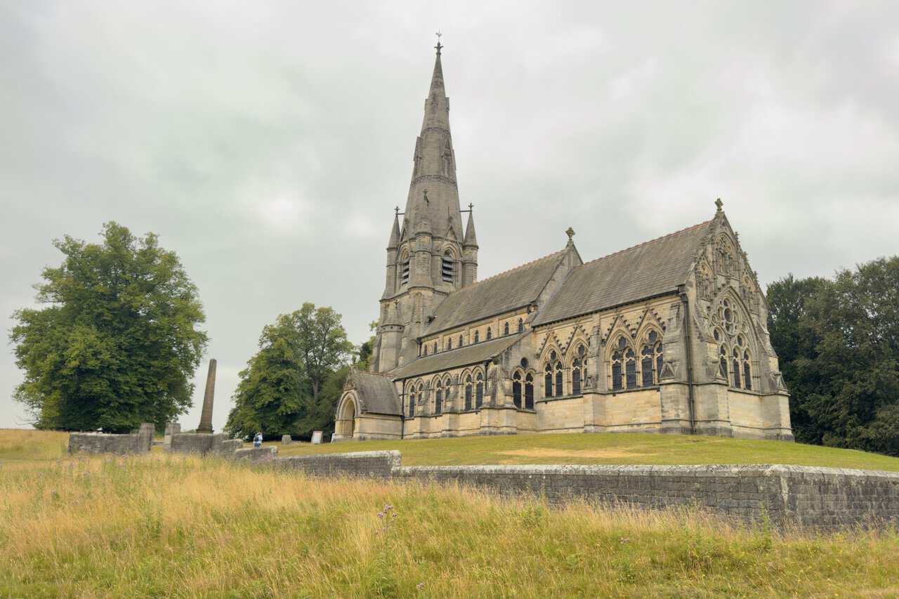
The church is the acknowledged masterpiece of William Burges, one of the finest architects of the Victorian age, who designed it in a rich Early English Gothic style. Outside, the tall spire rises like that of a small cathedral, while inside it is celebrated for its coloured marble, stained glass and gilded, painted figures. Grade I listed and no longer used for regular worship, it is cared for by English Heritage and managed by the National Trust, standing at the highest point of the whole deer park.
ADVERTISEMENT
Leaving the deer park behind, I follow the footpath signposted back to the visitor centre. It runs for about a third of a mile along a shady, tree-lined track, an easy and pleasant close that brings me almost full circle to where I began.
I arrive back at the Fountains Abbey and Studley Royal Visitor Centre, where the walk comes to an end. Run by the National Trust, the centre has a large shop and plant centre, a restaurant serving hot meals, sandwiches and cakes, and toilets, and both shop and restaurant are free to visit whether or not you hold a ticket. This is also where you can buy admission to the paid part of the estate and head down to the abbey ruins and water garden, though on this occasion I finish my Fountains Abbey circular walk here at the visitor centre.
ADVERTISEMENT