Experience the Crackpots Mosaic Trail During this Scenic Nidderdale Walk
Begin your Nidderdale walk by parking in the village of High Grantley. Use the spaces by the side of the village playing fields. From High Grantley, head north to Holborn Bridge. Next, proceed west to Lumley Moor Reservoir. Walk around the reservoir in a clockwise direction.
After rounding the reservoir, venture north-west across fields. This will lead you to Wetshod Lane, which eventually meets the main road. At this point, you have joined the Crackpots Mosaic Trail.
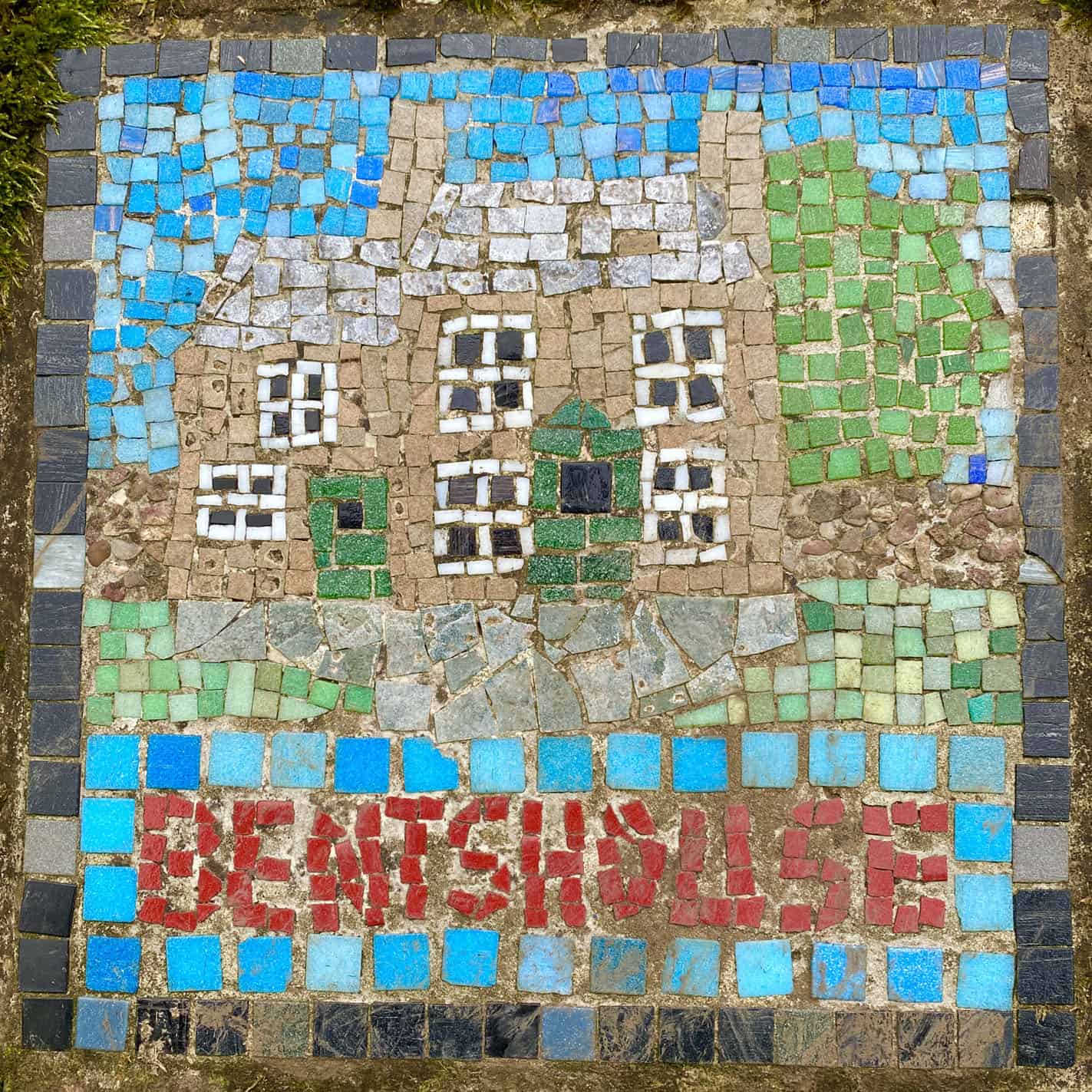
Continue south-west along the road towards Cross Hills Farm. From there, head west to the quaint hamlet of Dallow. Your path will take you through serene woodland, continuing west until you reach Bents House and Potter Lane Farm.
From Potter Lane Farm, journey north to intersect a minor road. Follow this road in a north-east direction. Shortly after, depart from the road, steering north-west towards the scenic fords of Fortress Dike and Carlesmoor Beck. Head east from here to reach the hamlet of Carlesmoor. Persist in an easterly direction, where you’ll meet another minor road and merge with the Ripon Rowel Walk.
Lastly, walk south along Belford Lane, rejoining Wetshod Lane. Continue southwards onto Drift Lane, then turn east along the minor road. This route will guide you back to the starting point: the village of High Grantley. To complete this 13-mile Nidderdale walk, anticipate a duration of approximately six hours.
Nidderdale Walk: Maps and Tools
Visit either the OS Maps website or the Outdooractive website to view this walking route in greater detail. Both platforms offer a range of features, including the ability to print the route, download it to your device, and export the route as a GPX file. You can also watch a 3D fly-over and share the route on social media.
Nidderdale Walk: Distance, Duration, Statistics
Distance: 12¾ miles
Distance: 20½ kilometres
Duration: 5¾ hours
Ascent: 1332 feet
Ascent: 406 metres
Type: Circular walk
About the Nidderdale AONB
The Nidderdale Area of Outstanding Natural Beauty (AONB) in North Yorkshire is adjacent to the Yorkshire Dales National Park on its eastern and southern borders, spanning 233 square miles. It encompasses the majority of Nidderdale, along with portions of Wharfedale, the Washburn Valley, and Wensleydale. The sole town in Nidderdale is the charming Pateley Bridge, whilst its loftiest peak is Great Whernside, standing at 2,310 feet above sea level.
This region is marked by its varied and striking features, from expansive, wild moorlands to quiet, bucolic dales. The exceptional nature of its scenery received official recognition from the Government on 14 February 1994, when it was designated an AONB. Furthermore, this Nidderdale walk is but one of many outstanding treks available in the area.
Recommended Ordnance Survey Map
The best map to use on this walk is the Ordnance Survey map of Nidderdale, reference OS Explorer 298, scale 1:25,000. It clearly displays footpaths, rights of way, open access land and vegetation on the ground, making it ideal for walking, running and hiking. The map can be purchased from Amazon in either a standard, paper version or a weatherproof, laminated version, as shown below.
Weatherproof Version
Ordnance Survey map of Nidderdale, reference OS Explorer 298, scale 1:25,000
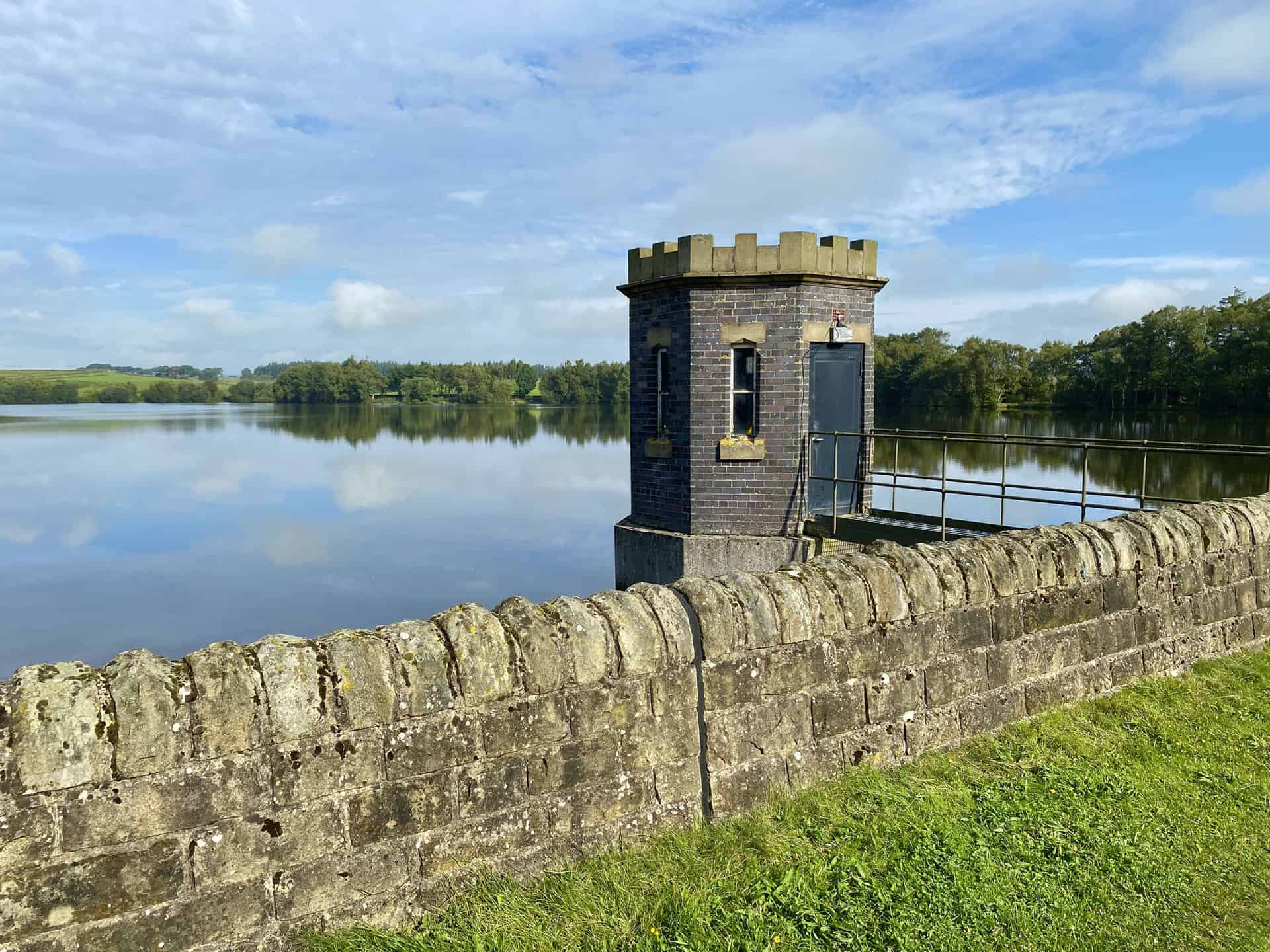
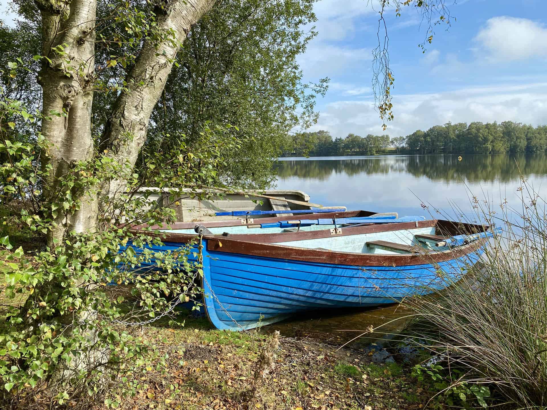
Nidderdale Walk: My Photos
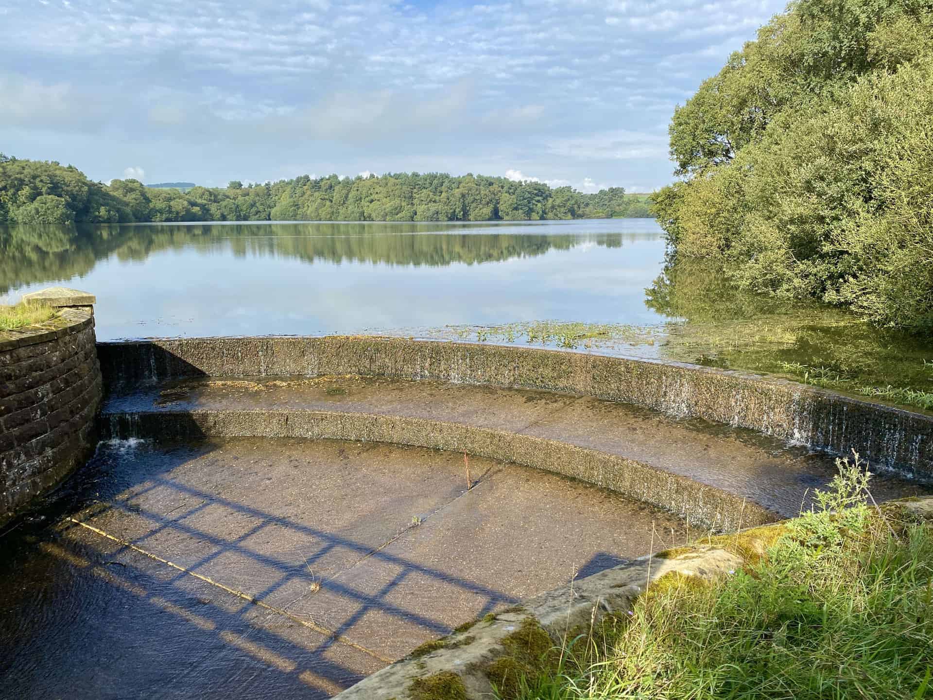
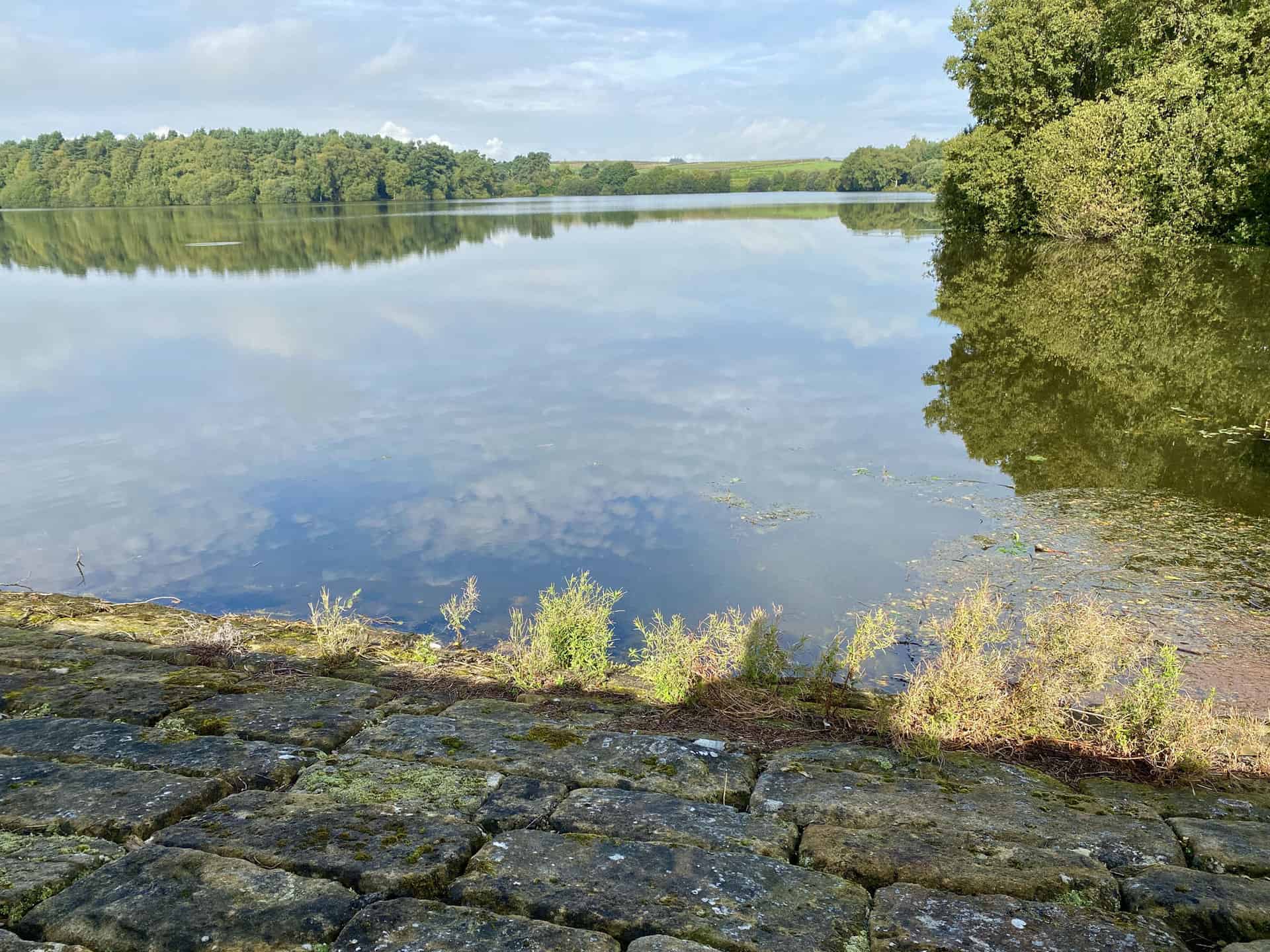
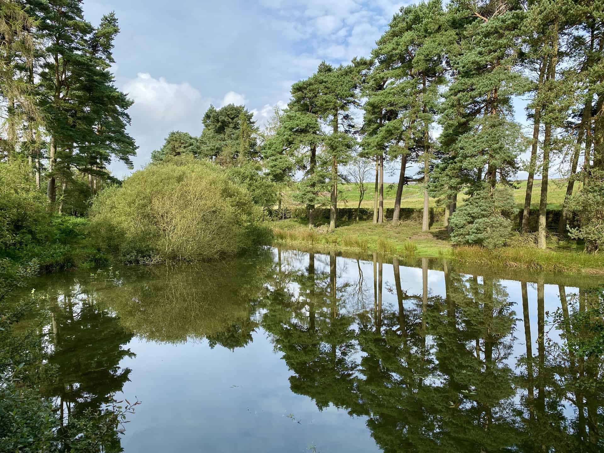
Lumley Moor Reservoir, about a mile north-west of High Grantley. The reservoir is most certainly a highlight of this Nidderdale walk.

Walking in the Yorkshire Dales with 43 Circular Routes
AD This Cicerone guidebook includes 43 circular walks exploring valleys, hills, and moors between Kirkby Stephen and Pateley Bridge. With OS maps, local highlights, and routes ranging from 3–11 miles, it is a year-round companion for walkers of all abilities.

Grisport Unisex Adult Peaklander Hiking Boots
AD The Grisport Unisex Adult Peaklander Hiking Boots are crafted in Italy with a durable waxed leather upper, Spotex breathable lining, and a reliable Track-on rubber sole. Waterproof and weighing just 1120g, they offer comfort, resilience, and dependable performance on demanding trails.
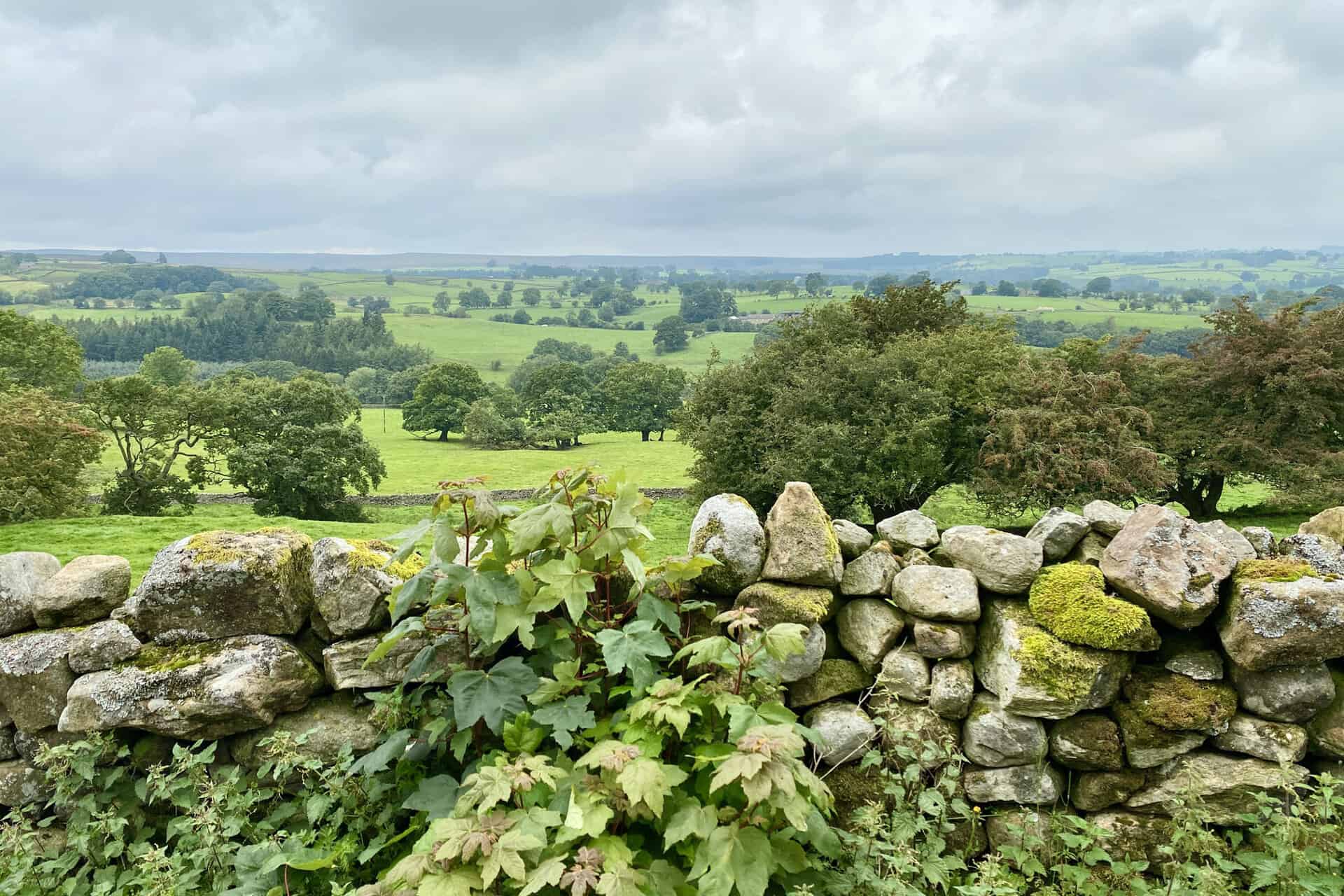
Dallowgill meadows and farmland as seen from Cast Hills, about one-third of the way round this Nidderdale walk.
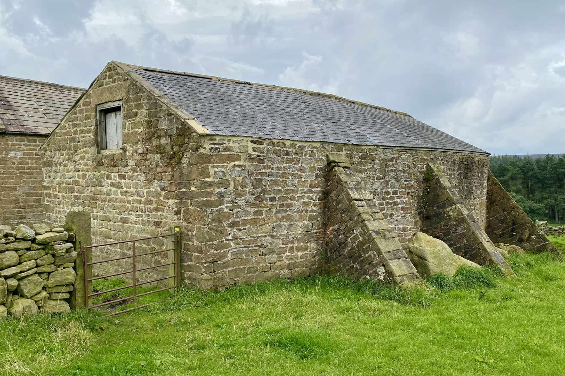
Buttressed barn at Bents House.

Fifty Walks Across the Beautiful North York Moors National Park
AD Discover 50 routes across the North York Moors, from short easy strolls to challenging high-level hikes. With OS maps, route descriptions, and local highlights, it also includes the legendary 40-mile Lyke Wake Walk, described in four accessible stages.
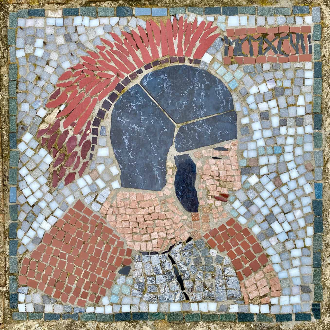
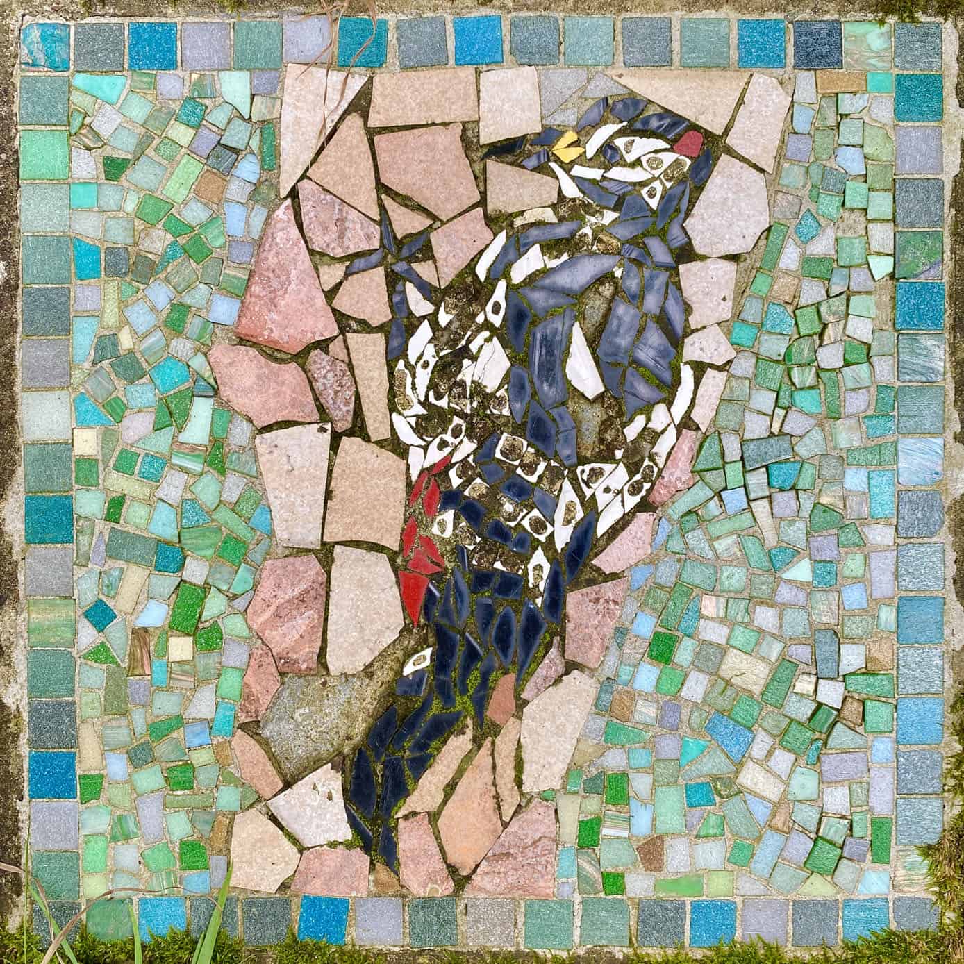
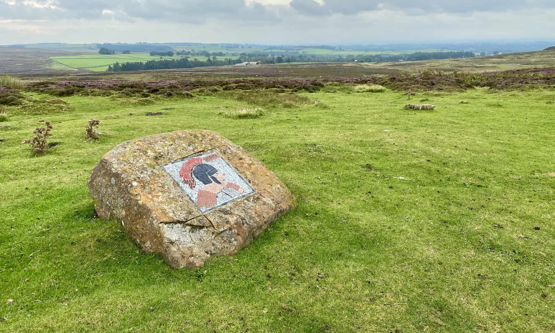
The Roman Soldier mosaic with Kirkby Malzeard Moor in the background. The halfway point of this Nidderdale walk.
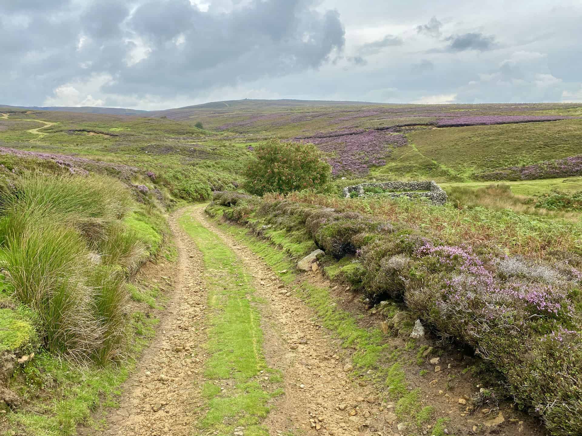
Kirkby Malzeard Moor.
Fifty Walks Across the Beautiful North York Moors National Park
AD Discover 50 routes across the North York Moors, from short easy strolls to challenging high-level hikes. With OS maps, route descriptions, and local highlights, it also includes the legendary 40-mile Lyke Wake Walk, described in four accessible stages.
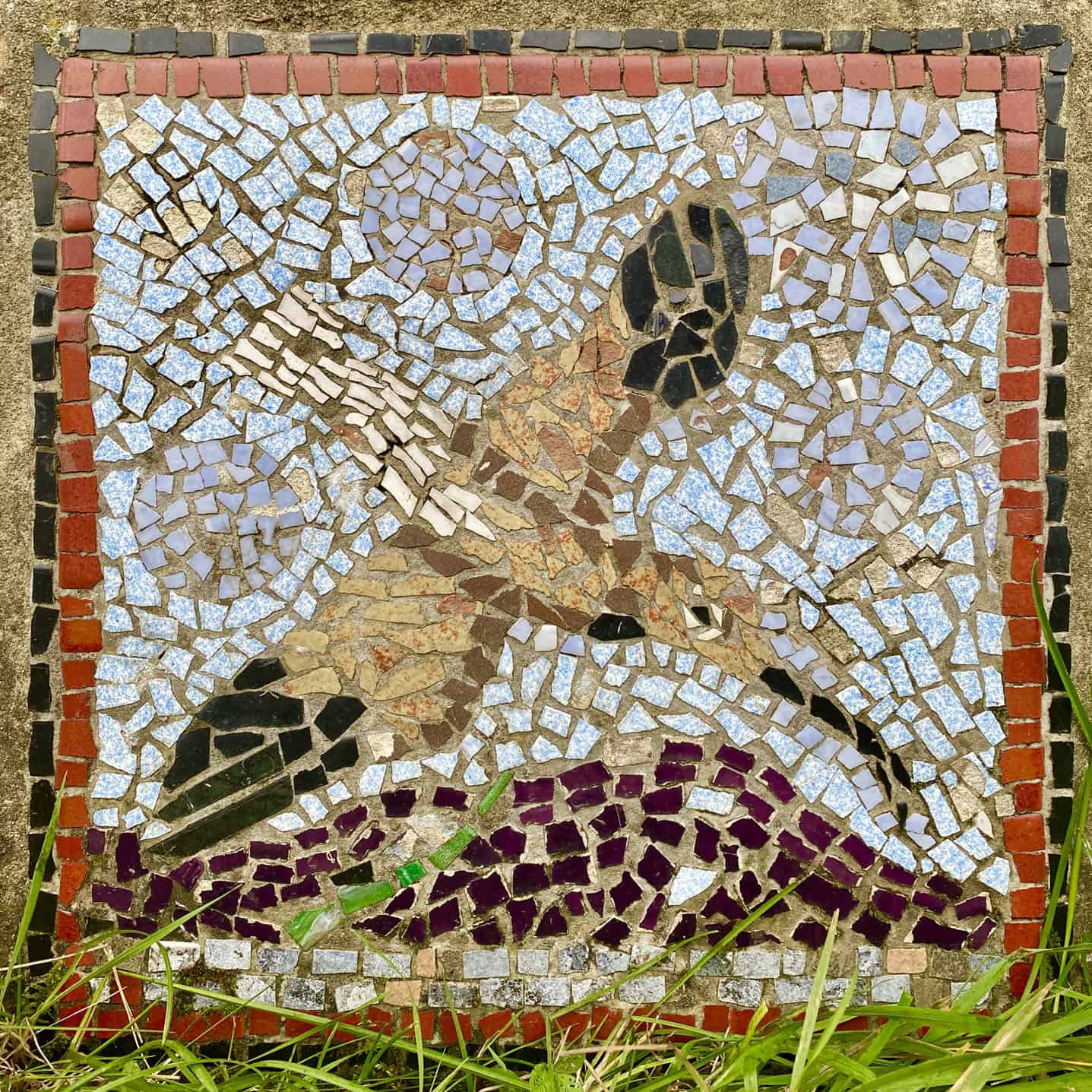
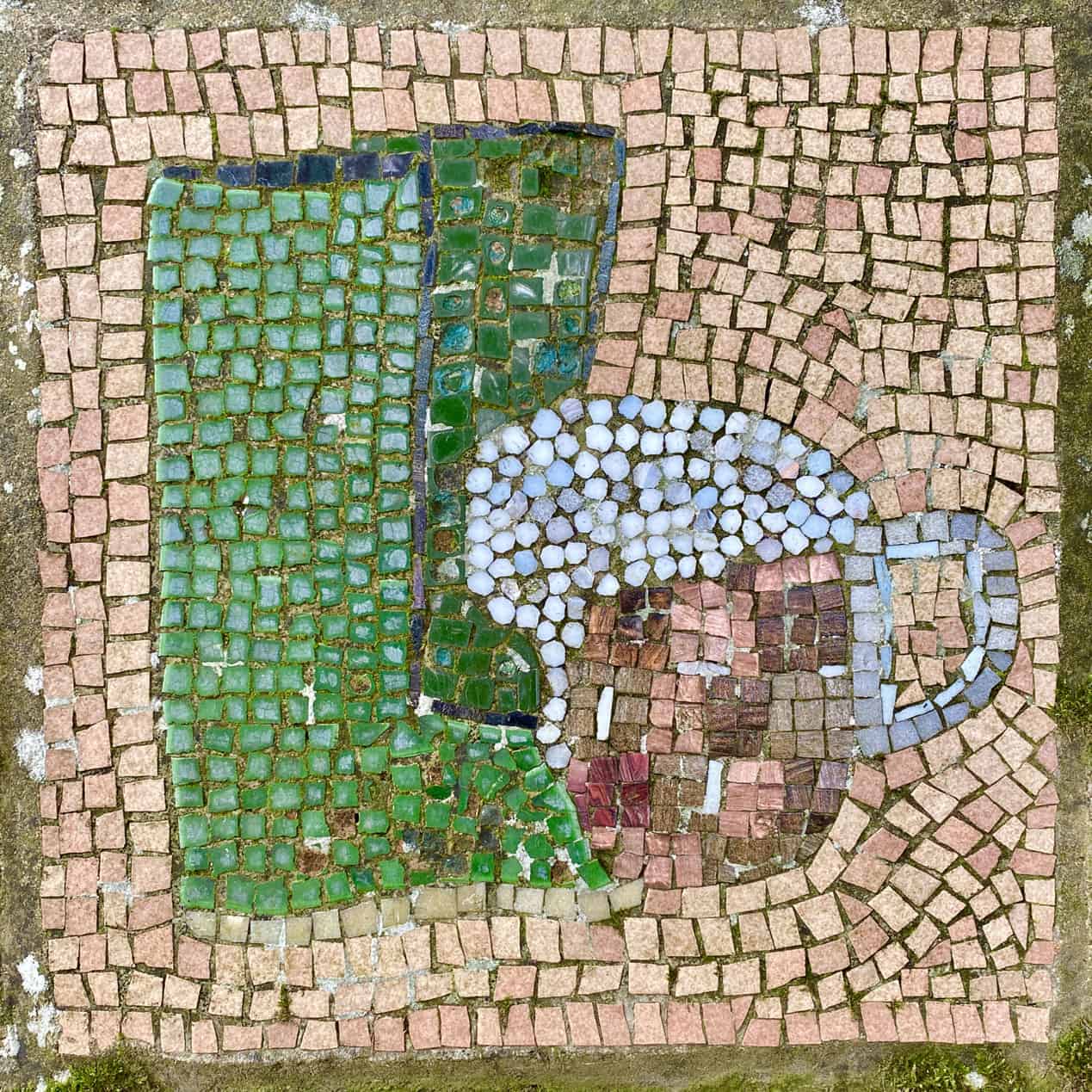
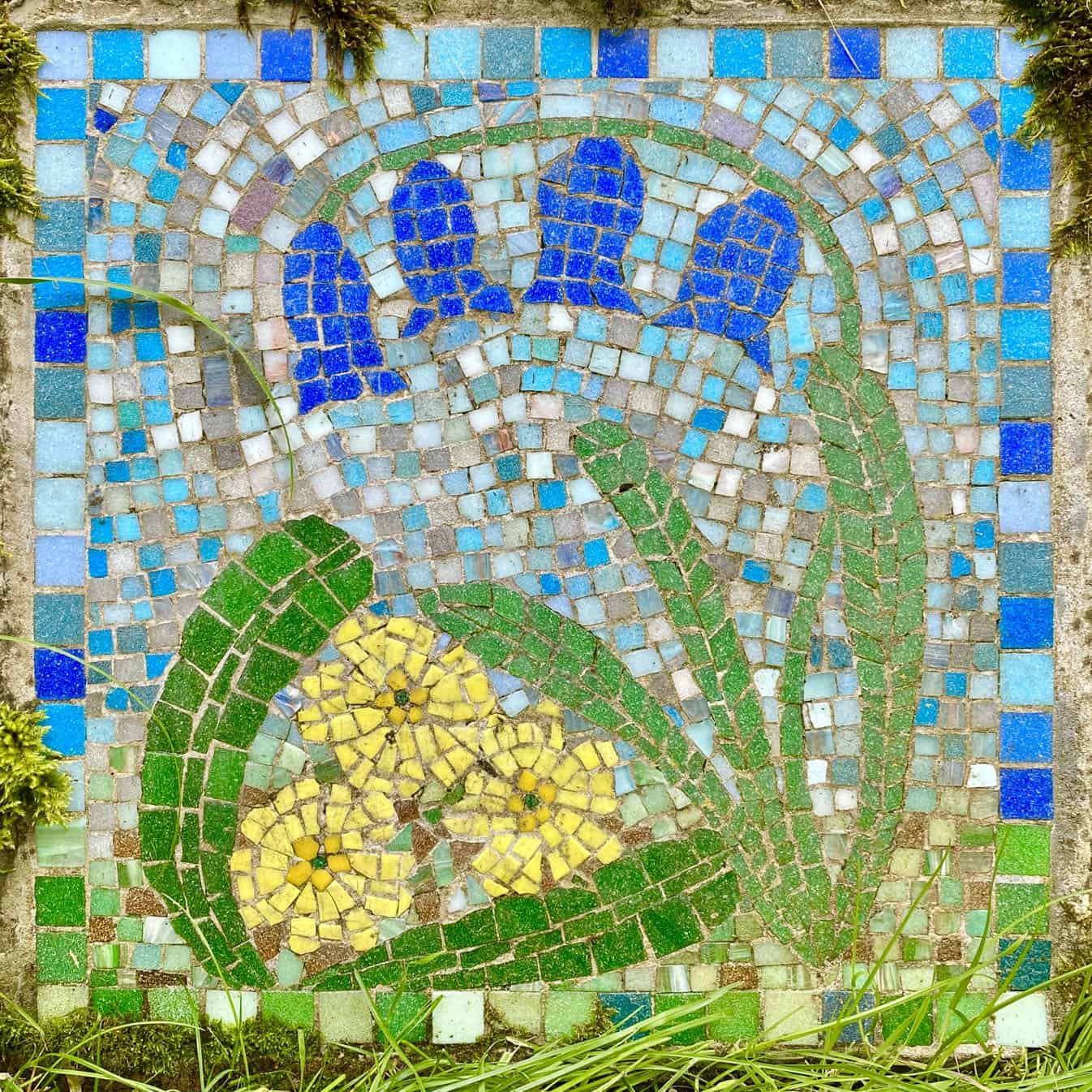
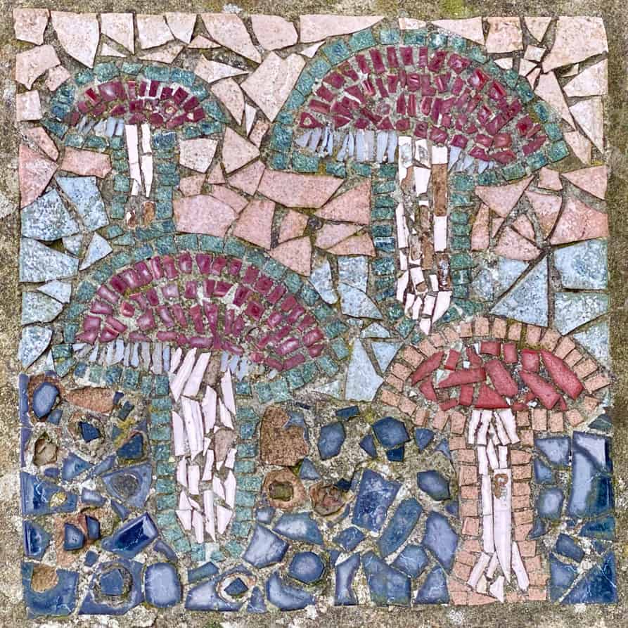
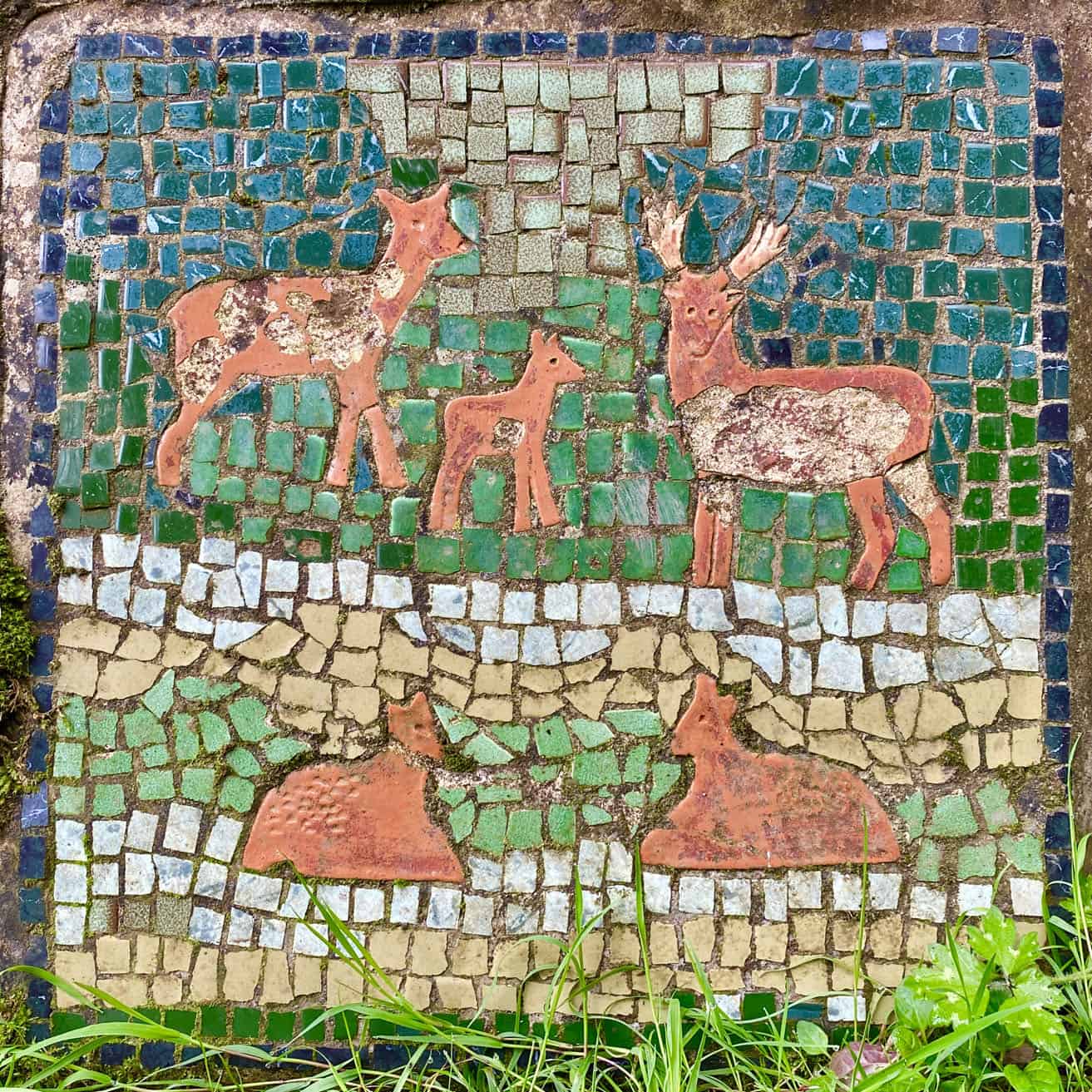
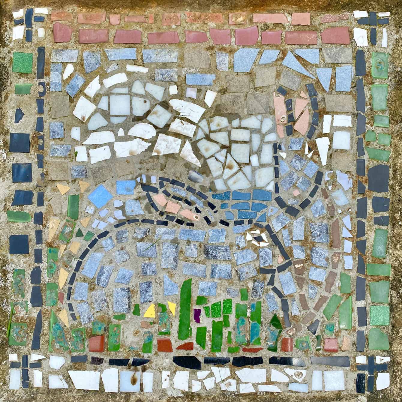
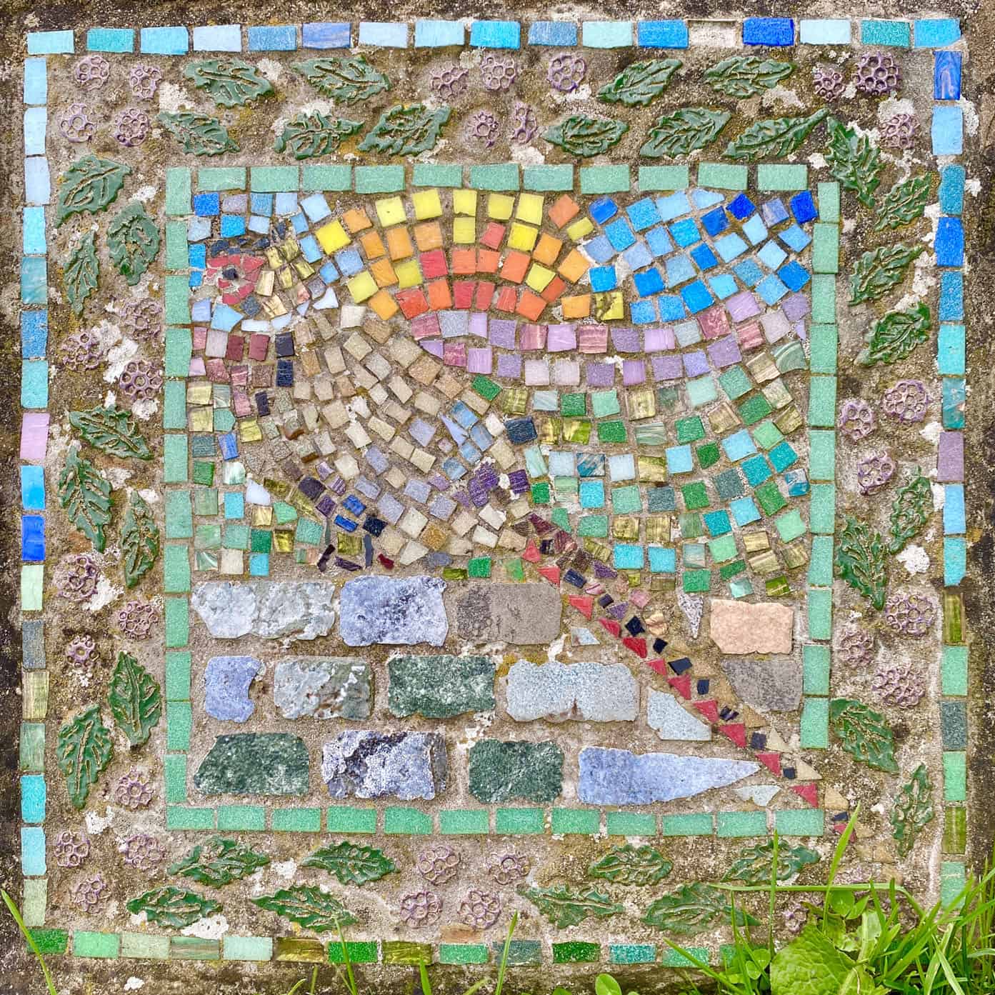
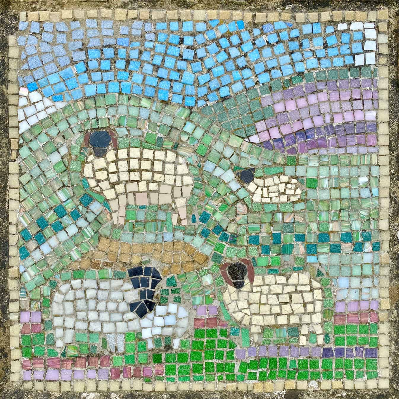
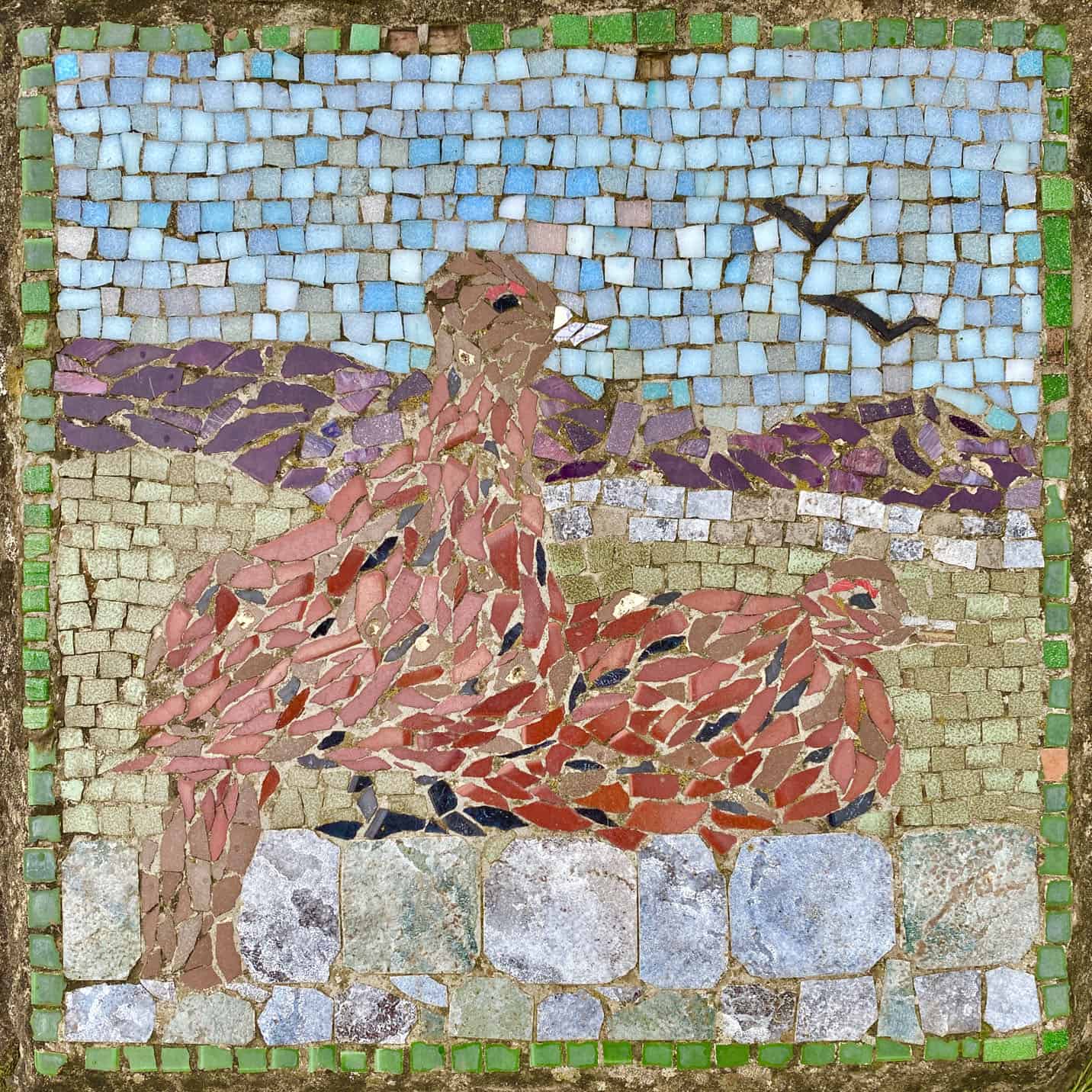
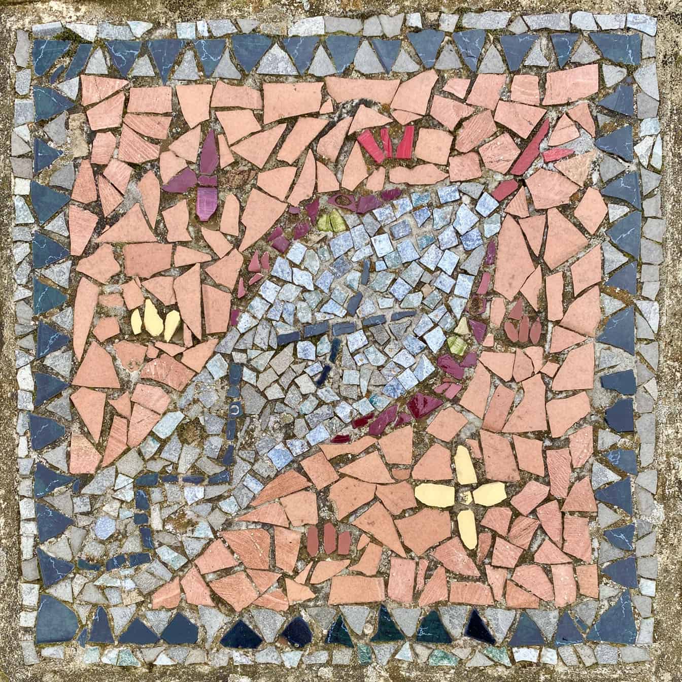
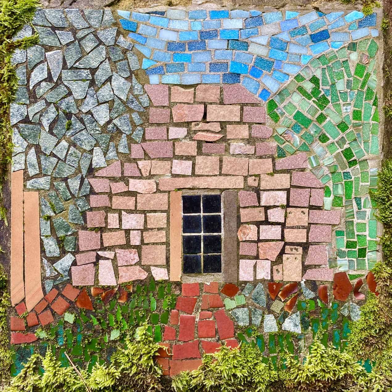
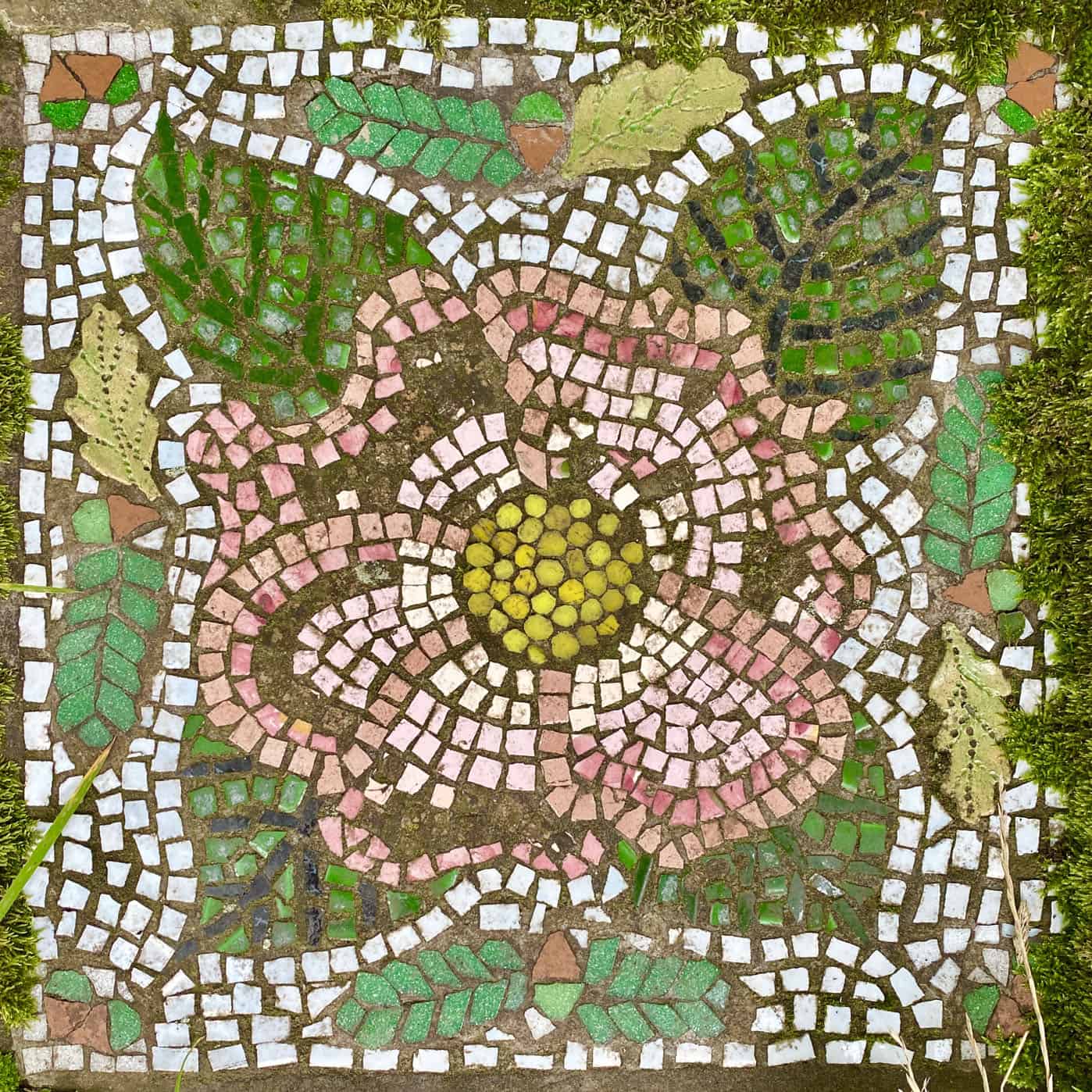
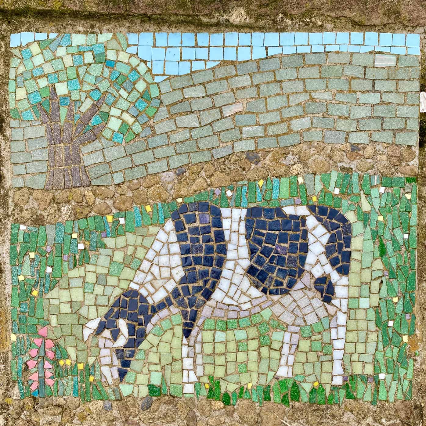
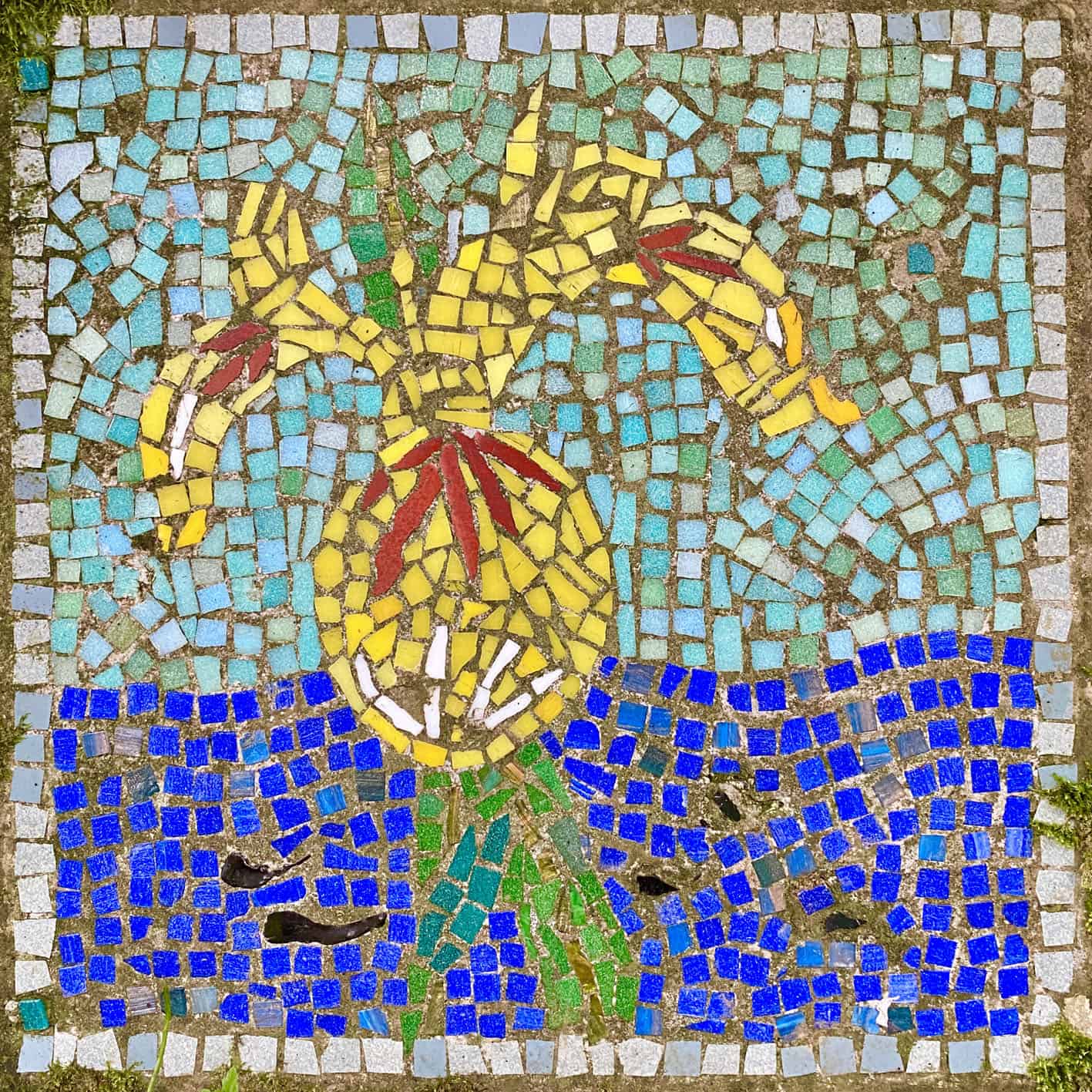
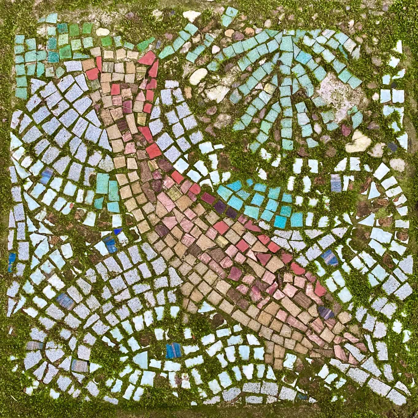
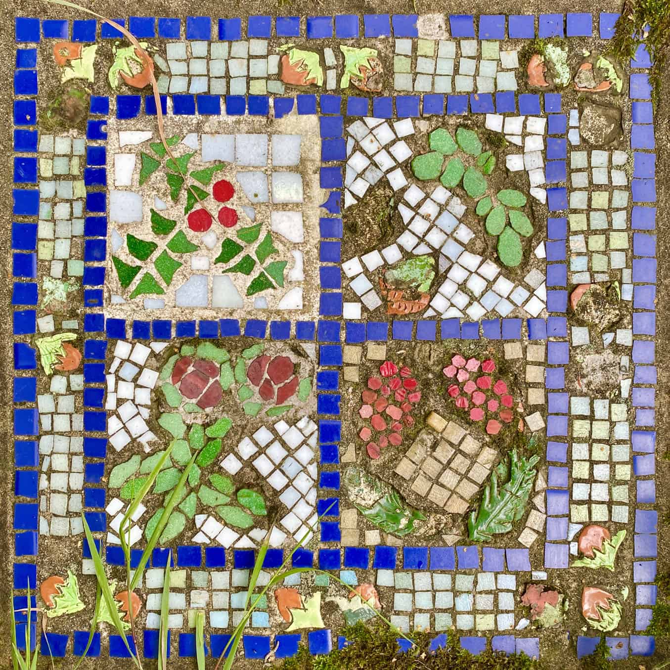
The 22 mosaics on the Crackpots Mosaic Trail, depicting local scenes and flora and fauna which might be encountered on this Nidderdale walk.