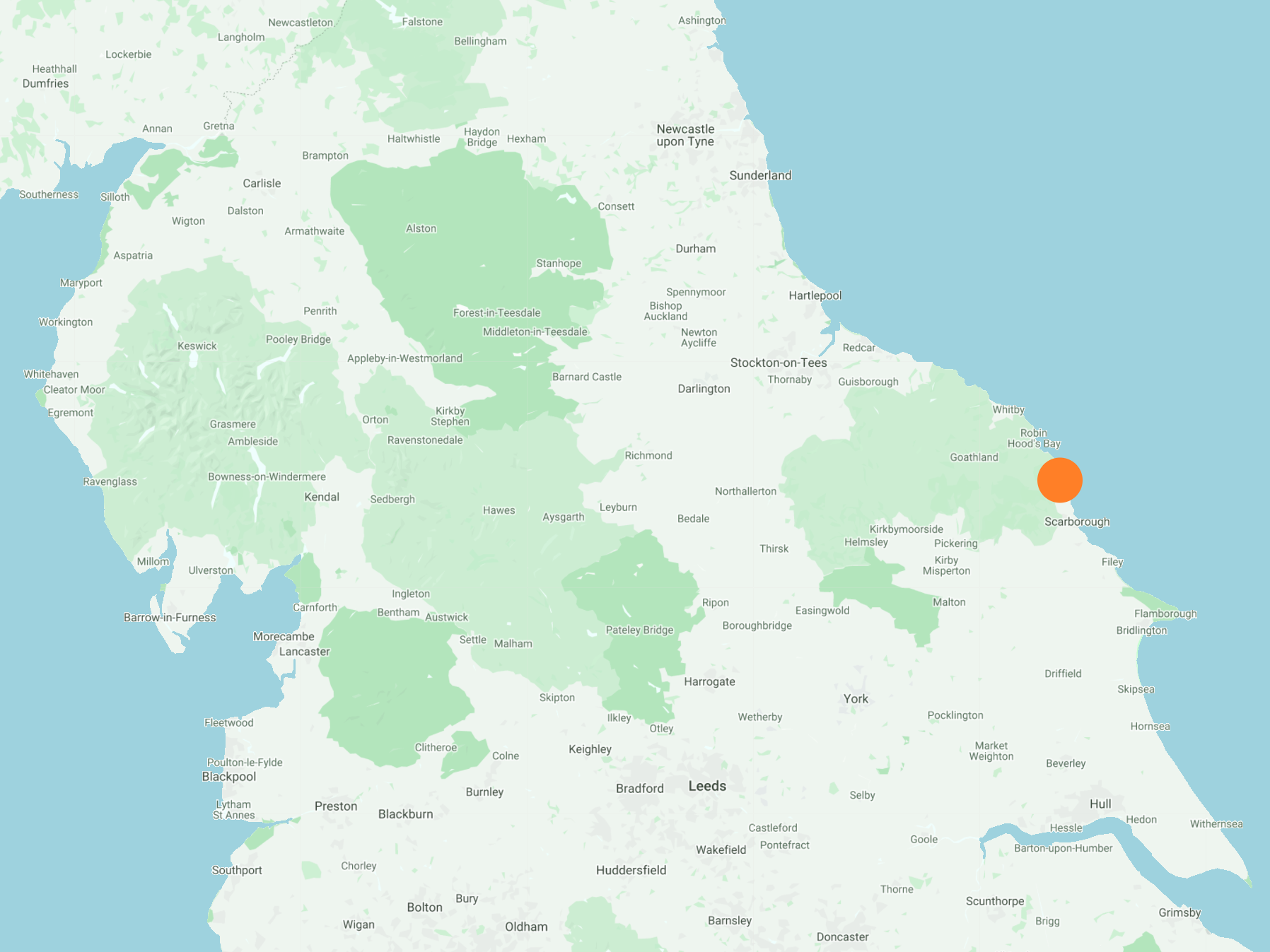
South-east from Ravenscar along Station Road to Ravenscar Tearooms, then south along the Cinder Track all the way to Cloughton. North-east to the coast at Cloughton Wyke and north to Heyburn Wyke via the Cleveland Way. Through the Hayburn Wyke nature reserve and continuing north to Prospect House Farm, before returning to Ravenscar by way of War Dike Lane and Bent Rigg Lane. A 12-mile walk along the Yorkshire Coast.
Recommended Ordnance Survey Map
The best map to use on this walk is the Ordnance Survey map of the North York Moors Eastern Area, reference OS Explorer OL27, scale 1:25,000. It clearly displays footpaths, rights of way, open access land and vegetation on the ground, making it ideal for walking, running and hiking. The map can be purchased from Amazon in either a standard, paper version or a weatherproof, laminated version, as shown below.
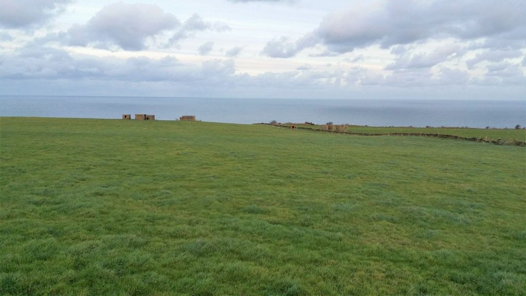
Ravenscar Radar Station seen from the Cinder Track disused railway line just south of Ravenscar.
The former railway station at Staintondale, in use from 1885 to 1965. The station is on the old Scarborough to Whitby railway line and is now used for residential purposes. The railway platform opposite the building is still in place.
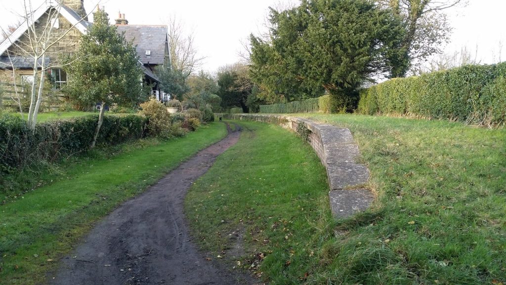
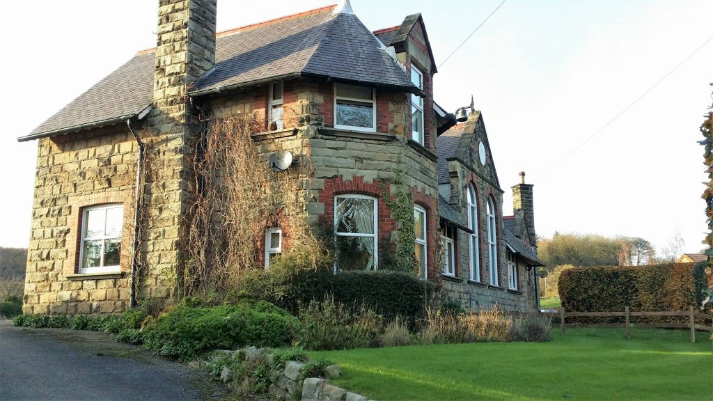
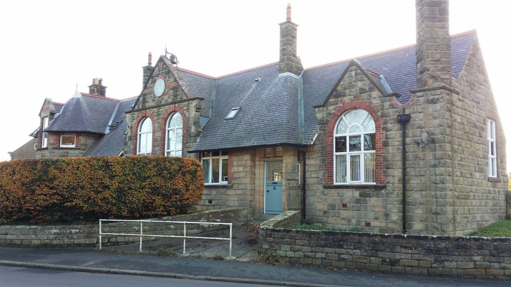
Former youth hostel at the northern end of Cloughton High Street.
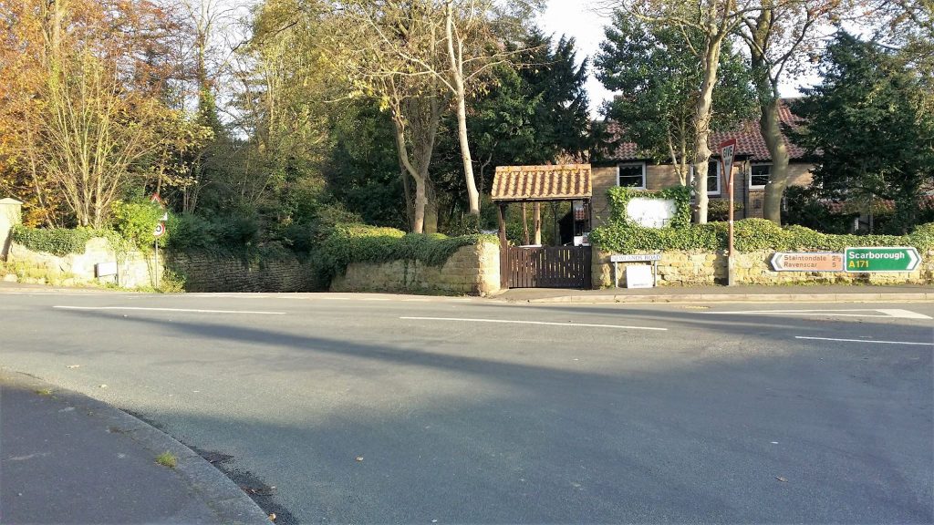
Access to Cloughton Wyke from Newlands Road in Cloughton.
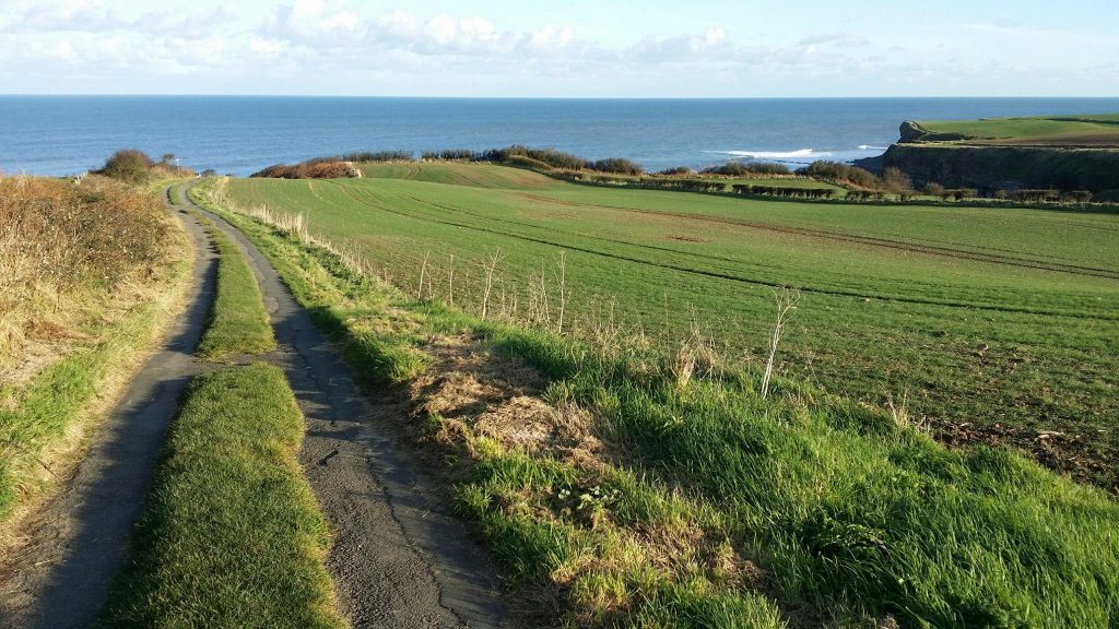
The track leading across farmland from Cloughton to Cloughton Wyke.
Cloughton Wyke.
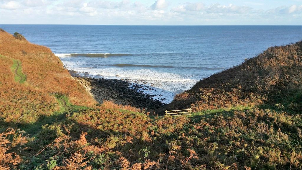
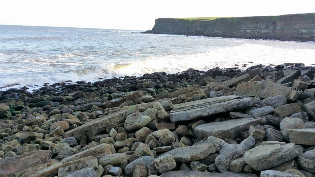
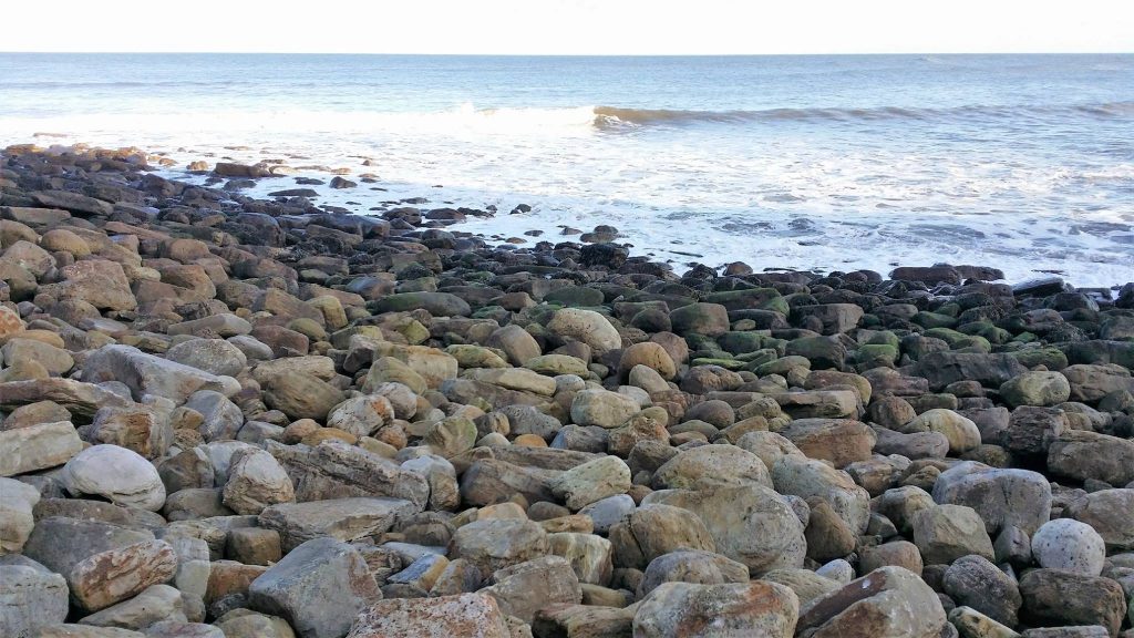
The rocky beach at Cloughton Wyke.
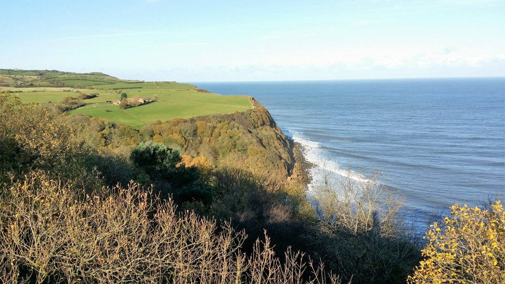
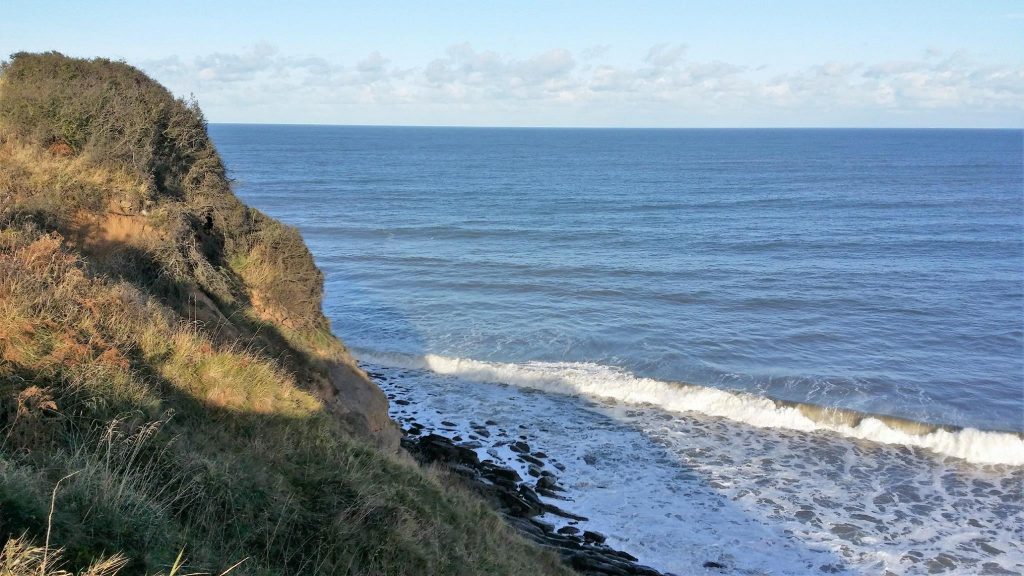
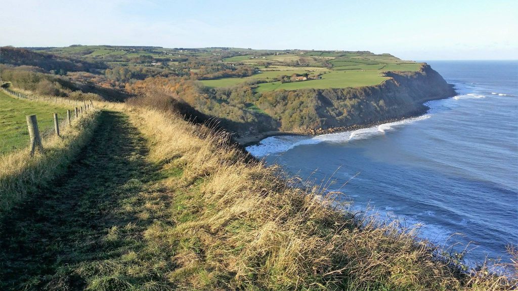
The view south towards Scarborough.
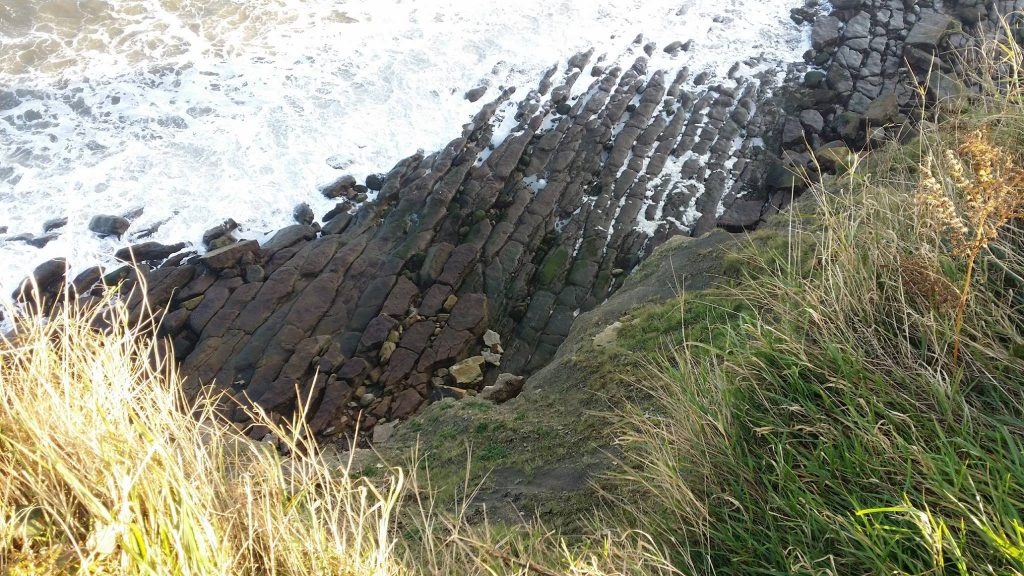
Wave-cut platform created by erosion at the base of the cliffs.
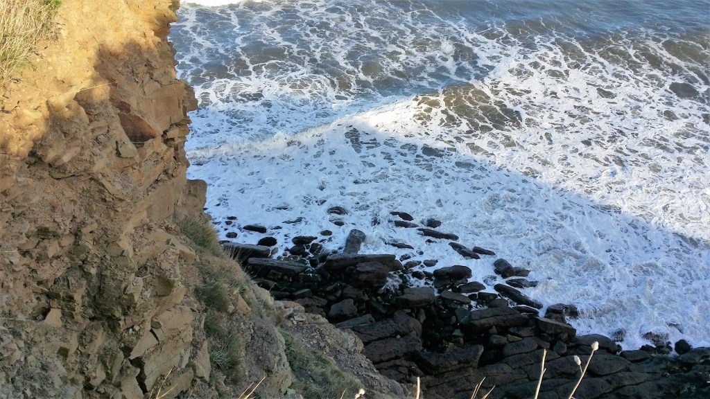
Weathering and erosion of the cliff face is prevalent along this coastline.
Hayburn Wyke.
The England Coast Path / Cleveland Way south of Hayburn Wyke.
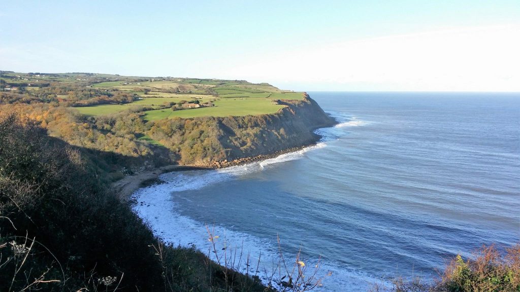
Looking over to Red House Farm, located slightly inland just north of Hayburn Wyke.