ADVERTISEMENT
A Ramsgill Walk Past Sypeland Crags and Thrope Edge, Returning Through Lofthouse
This Ramsgill walk starts from a small village at the northern tip of Gouthwaite Reservoir, in the heart of Nidderdale. Ramsgill makes an ideal base for a circular route that combines open moorland with the quiet farmland and riverside countryside of the upper dale.
I walked this route recently with friends, and it turned out to be a thoroughly enjoyable day. Our Ramsgill walk followed an anticlockwise loop. It climbed out of the valley at Bouthwaite on the Six Dales Trail and crossed Fountains Earth Moor first, then headed north along Thrope Edge and over Lofthouse Moor. From there, it dropped back into the valley near Bracken Ridge and followed the Nidderdale Way south through Lofthouse to Ramsgill.
That meant following stretches of two long-distance routes. The Six Dales Trail runs from Otley to Wensleydale, while the Nidderdale Way loops around the dale.
The full circuit is just under 11 miles (17.25 kilometres), with 1,598 feet (487 metres) of ascent. OS Maps gives a walking time of around 5¼ hours. That figure doesn’t include stops for breaks, admiring the views or looking around the church at the end, so it’s worth allowing extra time for a relaxed day.
Most of the climbing came in the first mile. After that, the moorland tracks were well defined and easy to follow, and once we were back in the valley, the walking was gentle.
ADVERTISEMENT
Ramsgill Walk: Our Route Over the Moors and Along the Nidderdale Way
Getting to the Start of the Ramsgill Walk
Ramsgill lies roughly five miles north-west of Pateley Bridge. Heading west through Pateley Bridge on the B6265, turn right just after the bridge over the River Nidd onto Low Wath Road, signposted for Ramsgill, Lofthouse and Middlesmoor. The road runs along the western side of Gouthwaite Reservoir before reaching the village, where there is a small amount of roadside parking.
Starting Our Ramsgill Walk: The Climb to Covill House Moor
The forecast promised a gentle breeze and light rain until about ten o’clock, followed by drier, brighter weather. It was spot on. We didn’t see a drop of rain all day, and it stayed pleasantly warm and very comfortable for walking.
After parking up, we followed the road briefly north and crossed the bridge over the River Nidd. A quieter lane then took us east out of the village to the hamlet of Bouthwaite, where a track led us uphill to the north-east, towards Covill House Moor.
This first climb was just under a mile long and gained about 160 metres. It was uphill all the way, but steady and very manageable, so we simply took it at a gentle pace. We hadn’t gained much height before the views back down to Gouthwaite Reservoir and across Nidderdale were already impressive.
ADVERTISEMENT
Crossing Fountains Earth Moor on the Ramsgill Walk
At a crossroads near some sheepfolds, we took the left-hand fork and headed north across the moor, following the Six Dales Trail with Helks Wood away to our left. After just over half a mile, the track split again. The Six Dales Trail carried on to the right, but we took the left-hand fork across an area of moorland called Sype Land and turned north-west.
We were still climbing, though so gently that we hardly noticed. We would eventually reach our highest point of the day, at roughly 430 metres. For about two miles, the track carried us north-west across Fountains Earth Moor. It was a wonderfully easy-going stretch, though quite exposed, and our glorious weather made it an absolute pleasure. Poor winter conditions would make it a very different experience, although the track would still be clear enough to follow.
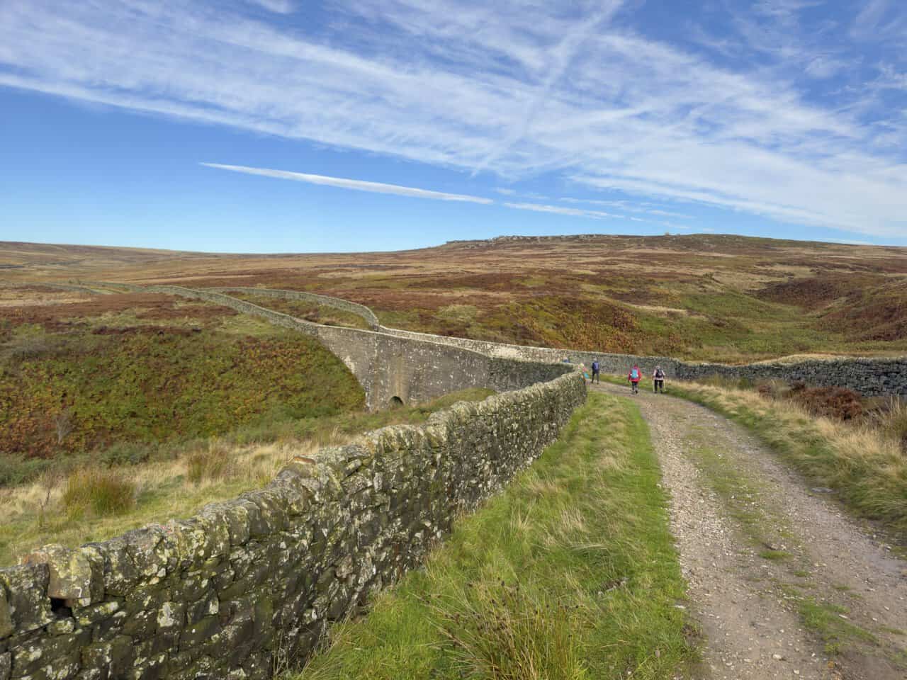
Early on, we crossed a stone bridge over Lul Beck, where a dry-stone wall ran right across the top of the bridge. Sypeland Crags, a long band of gritstone outcrops, lined the skyline to our right. A little beyond them stood two weathered rock pillars called Jenny Twigg and her Daughter Tib, about half a mile from the track. We may just have glimpsed them, but they were too far away to be sure.
Crossing the moor felt wonderfully refreshing, and it was great to be out.
ADVERTISEMENT
A Coffee Stop on Pot Moor High Road
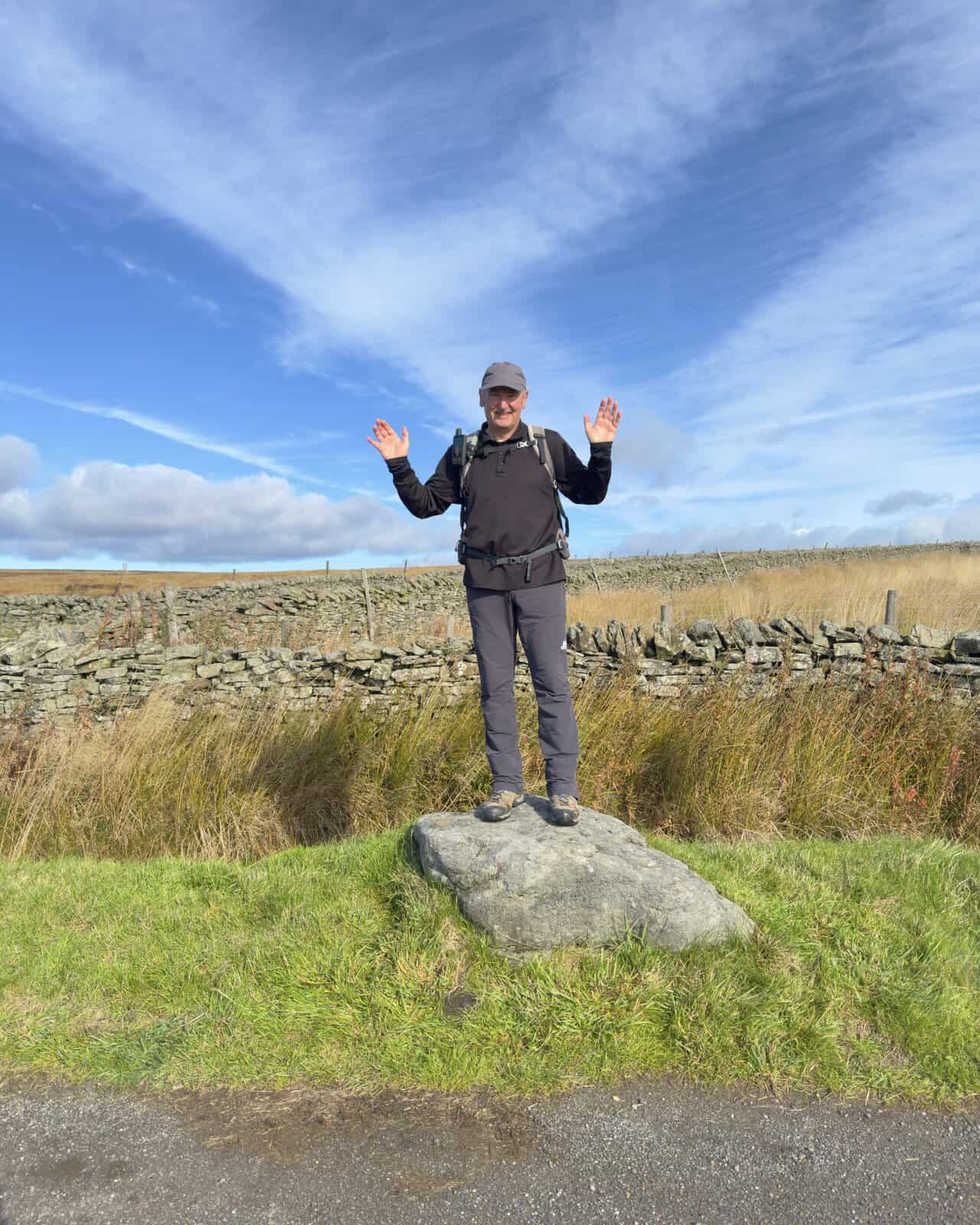
Eventually, we reached Pot Moor High Road, the minor road that crosses the moors from Lofthouse. A few large boulders beside the road made a good spot for a break, so we stopped for coffee and a snack. I couldn’t resist standing on one of them for a photograph.
From here, we turned left along the road and then almost immediately right, onto another track heading west towards the top of Thrope Edge.
Thrope Edge and the View to Great Whernside
The views had been good all morning, but now they really began to open out. We could look down into Nidderdale itself and, especially, west towards In Moor. On the western horizon, Great Whernside and Little Whernside stood out clearly, with Buckden Pike visible between them but further away.
I enjoyed picking out these hills from the Nidderdale side. If you’d like to climb them, take a look at my Great Whernside walk and Great Whernside circular walk, or my Buckden Pike walk and Buckden Pike circuit through Cray and Hubberholme. There’s more below on how Great Whernside divides Wharfedale from Nidderdale.
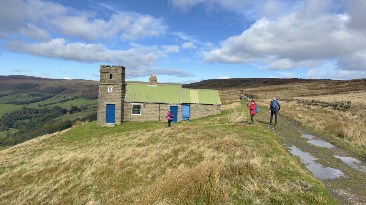
At the top of Thrope Edge, we followed the track north across Lofthouse Moor and soon passed the Thrope Edge Shooting House. With its small castellated tower, blue doors and green roof, it’s a well-photographed landmark, and it stands in such a prominent spot that you can see it from the valley below.
North Across Lofthouse Moor
We followed the track north for about a mile, drawing ever closer to the area marked on the map as Dale Edge. The views to our left, down into Nidderdale, were among the most spectacular of the whole Ramsgill walk. As we went on, the dam of Scar House Reservoir came into view in the far distance, at the head of the valley carved by the River Nidd.
Continuing along Dale Edge is a fine walk in its own right, and I’ve used it before to reach Scar House Reservoir. That wasn’t the plan this time, though. Instead, at the junction beside the Summerstone Estate signs, we took the left-hand fork and began to drop down towards the valley.
Down to Bracken Ridge and the Nidderdale Way
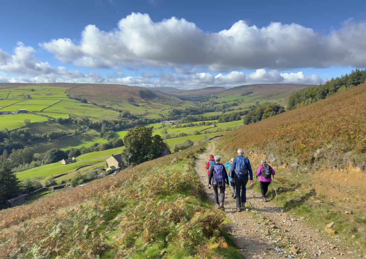
The track across an area called Kelds took us steadily downhill, with bracken turning golden on the slopes around us and upper Nidderdale spread out below. Near Bracken Ridge, we joined the Nidderdale Way and doubled back on ourselves, following it south towards Limley Farm and the River Nidd.
Along this stretch, we found a small bridge over a stream, with parapets at just the right height to sit on. It made a perfect lunch stop, tucked away in a lovely secluded valley, with warm sunshine and beautiful countryside all around.
At Limley Farm, we reached the River Nidd itself, and as usual it was dry. I’ve been here several times, and I’ve never seen water in this part of the river, just a bed of boulders. That was just as well, because our route crossed the river twice and there were no footbridges. Fittingly, the map marks a ford along this stretch as Dry Wath.
The explanation lies underground. Just upstream, the river sinks into the limestone at Manchester Hole and Goyden Pot, and it doesn’t resurface until it reaches Nidd Heads, below Lofthouse. I’ve explained why in the history section below.
South Through Lofthouse
We continued south, broadly following the course of the River Nidd on tracks and field paths, and staying on the Nidderdale Way throughout. Passing through Thrope Farm, we followed Thrope Lane south to meet the minor road at Trapping Hill, just north of Lofthouse.
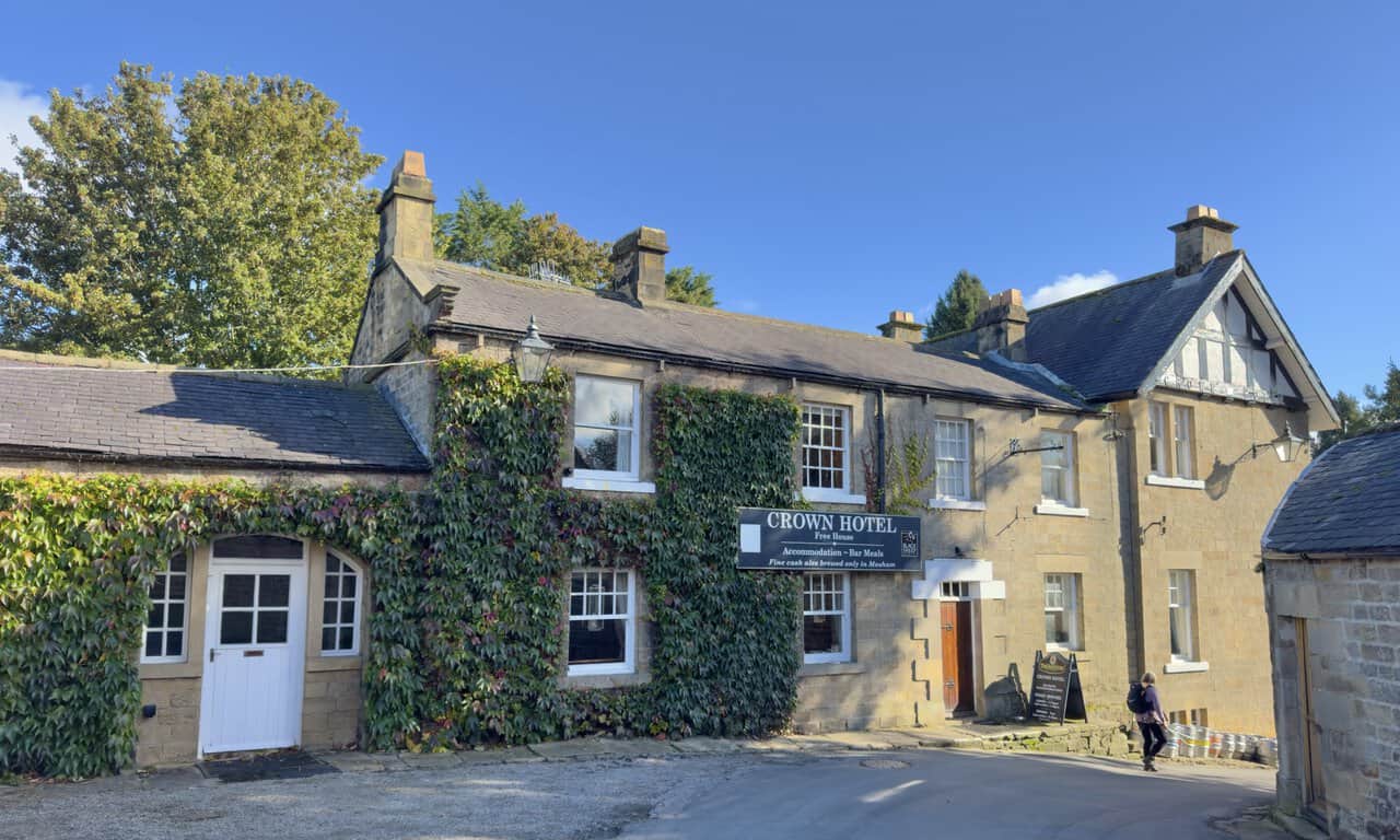
The road took us down into Lofthouse, and we walked through the village, passing the Crown Hotel. By now, only the last couple of miles of our Ramsgill walk remained. On the far side of the village, we picked up the Nidderdale Way again, now heading south-east across fields and farmland.
We joined the main road twice, but only briefly each time. Along this stretch, the path passed close to Nidd Heads, where the river returns to the surface. We met the road for the second time near Low Sikes, then followed the Nidderdale Way along the western side of some woodland.
Finishing the Ramsgill Walk
Passing Longside House, we crossed the fields to Longside Farm and then carried on across more fields. This last section was a little sketchy and not always easy to follow, so it’s worth keeping the map handy. Eventually, we reached the main road just north of Ramsgill, crossed the bridge over the River Nidd and walked back to where we had parked.
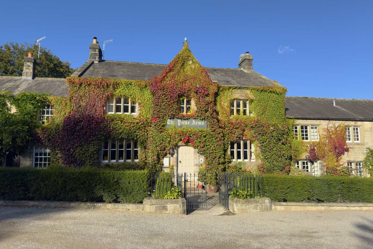
Before heading home, we called in at St Mary’s Church, a simple, peaceful building with a surprising amount of history. On the village green nearby, the creeper-covered Yorke Arms looked splendid in the late afternoon sun.
It was a superb day out. Our Ramsgill walk packed in a steady climb above Gouthwaite Reservoir, miles of easy moorland tracks, wide views to Great Whernside and a gentle return through the fields, all in perfect walking weather. I’d thoroughly recommend it.
Ramsgill Walk: Maps and Tools
Visit either the OS Maps website or the Outdooractive website to view this walking route in greater detail. Both platforms offer a range of features, including the ability to print the route, download it to your device, and export the route as a GPX file. You can also watch a 3D fly-over and share the route on social media.
Recommended Ordnance Survey Map
The best map to use on this walk is the Ordnance Survey map of Nidderdale, reference OS Explorer 298, scale 1:25,000. It clearly displays footpaths, rights of way, open access land and vegetation on the ground, making it ideal for walking, running and hiking. The map can be purchased from Amazon in either a standard, paper version or a weatherproof, laminated version, as shown below.
Weatherproof Version
Ordnance Survey map of Nidderdale, reference OS Explorer 298, scale 1:25,000
Ramsgill Walk: History Along the Way
Ramsgill, the Start and Finish of the Walk
Ramsgill sits at the head of Gouthwaite Reservoir, about two miles south-east of Lofthouse. In the Middle Ages, the monks of Byland Abbey ran a large grange here, a monastic farm, and the remains of their chapel still stand in the churchyard.
The village is best known for the Yorke Arms on the village green. Once an 18th-century coaching house and shooting lodge, it takes its name from the Yorke family, former lords of the manor, and it held a Michelin star for many years. More recently, it has operated as a country house for private hire rather than a pub or restaurant, so check before planning to call in. The Crown Hotel in Lofthouse, which the route passes, is another option for refreshments.
Ramsgill was also the birthplace of Eugene Aram, the 18th-century schoolmaster and scholar who was later hanged for murder.
St Mary’s Church
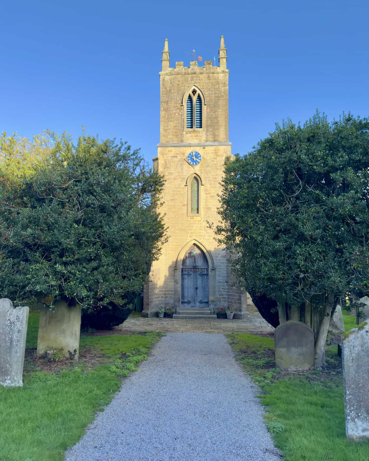
The Church of St Mary the Virgin was built in 1842 as a chapel of ease, at a cost of £1,468, with room for 170 worshippers. Before then, villagers had to travel to St Andrew’s Church in Kirkby Malzeard, as the medieval chapel built by the monks of Byland Abbey had long since fallen into ruin.
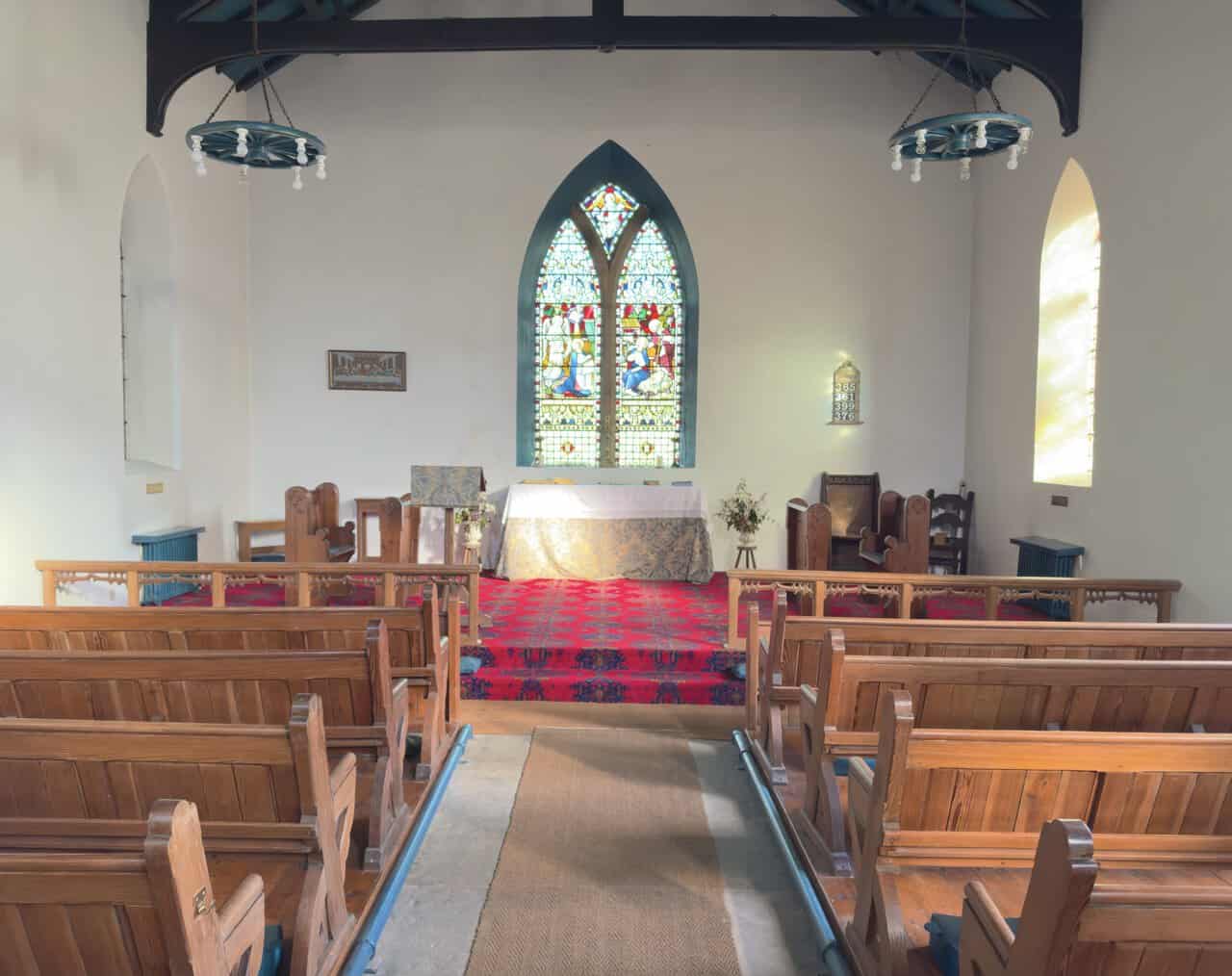
The church has a west tower with pinnacles at each corner and clock faces on three sides. The gabled wall of the old chapel, with its lancet windows, still stands in the churchyard, and both are Grade II listed. Inside, the church is light and simple, with white walls, wooden pews and a colourful stained-glass window above the altar.
The Ramsgill Walk and the Nidderdale National Landscape
The whole of this Ramsgill walk lies within the Nidderdale National Landscape, which covers 233 square miles on the south-eastern side of the Yorkshire Dales. Many people assume Nidderdale is part of the Yorkshire Dales National Park, but it isn’t.
When the national park was being planned in 1947, the Hobhouse Report recommended leaving Nidderdale out and giving it a different kind of protection. The park was designated in 1954 without it. Later proposals to add Nidderdale came to nothing, and in 1994 it became an Area of Outstanding Natural Beauty instead. On 22 November 2023, all the AONBs in England and Wales adopted the new name National Landscapes.
Both designations protect landscapes of national importance, but they work differently. A national park has its own national park authority, which is also the planning authority, and it has two purposes: conserving the landscape and helping people to understand and enjoy it. A National Landscape is looked after by a partnership of local councils, landowners and community groups, and its main purpose is to conserve and enhance natural beauty. Planning decisions stay with the local council, which for Nidderdale is North Yorkshire Council.
Great Whernside and the Head of Nidderdale
Great Whernside rises to 704 metres (2,310 feet) and is the highest point in the Nidderdale National Landscape. It stands right on the boundary with the Yorkshire Dales National Park and forms the watershed between Wharfedale and Nidderdale. Rain falling on its western slopes drains towards the River Wharfe, while its eastern slopes give rise to the River Nidd, which flows through Angram and Scar House reservoirs before running down the dale past Ramsgill.
Little Whernside, about two and a half miles to the north-east, divides Nidderdale from Coverdale. Buckden Pike, at 702 metres, stands further away, above the village of Buckden near the head of Wharfedale.
Jenny Twigg and Her Daughter Tib
These two curiously named rocks stand on Fountains Earth Moor, a little north-east of Sypeland Crags. They aren’t standing stones put up by people, but natural pillars of gritstone shaped by wind and weather.
Local legend offers several explanations for the name. One tradition says they were named after a landlady and her daughter who kept an inn at Arkleside, in nearby Coverdale. Another claims the pair were witches who were turned to stone.
The rocks are on open access land, but there’s no path to them and the going is rough, so it’s worth packing a pair of binoculars for the Ramsgill walk if you’d like a closer look from the track. These moors are also managed for grouse shooting, and the season runs from 12 August to 10 December, so keep an eye out for shooting parties if you do leave the track.
Fountains Earth and the Abbeys
The name Fountains Earth comes from Fountains Abbey, which owned the land in the Middle Ages and set up granges, or monastic farms, at Lofthouse, Bouthwaite and elsewhere. At Bouthwaite, a farmhouse called Bouthwaite Grange now stands on the site. Ramsgill, on the other side of the river, belonged to Byland Abbey, so this walk passes through the old estates of two great Cistercian abbeys.
Why the River Nidd Runs Dry
Around Lofthouse, the River Nidd flows over outcrops of limestone, which is far more permeable than the gritstone of the surrounding moors. In normal conditions, the river disappears into a sinkhole called Manchester Hole and flows underground through the Goyden cave system. It reappears about two miles further south at Nidd Heads, just below Lofthouse.
When Scar House Reservoir overflows, some of the water runs on past Manchester Hole to Goyden Pot, another sinkhole. Only in severe floods does the river flow along its normally dry bed past Lofthouse. Cavers have explored and linked the underground passages as far as New Goyden Pot. So if you find the riverbed dry on your Ramsgill walk, the Nidd hasn’t gone far; it’s simply flowing through the caves beneath the valley.
The Nidd Valley Light Railway
The dismantled railway marked on the map near Bouthwaite is all that remains of the Nidd Valley Light Railway. Bradford Corporation took over the line and used it to carry workers and materials to its reservoir construction sites at the head of the dale. From 1907, passenger trains ran between Pateley Bridge and Lofthouse, stopping at Wath and at Ramsgill station, which actually stood in Bouthwaite.
It was the only passenger railway in Britain run by a local council. Passenger services ended on 31 December 1929, and the line closed completely in the 1930s, after Scar House Reservoir was finished.
Gouthwaite and Scar House Reservoirs
Gouthwaite Reservoir was built between 1893 and 1901 as a compensation reservoir, keeping the River Nidd flowing steadily during dry spells. Its waters submerged the old Elizabethan manor house of Gouthwaite Hall, the ancient home of the Yorke family, and a new hall was built beside the reservoir using materials from the old one. Today the reservoir is a nature reserve and a Site of Special Scientific Interest, popular with birdwatchers. It’s also in view for much of the first climb on the Ramsgill walk.
Scar House Reservoir, whose dam we saw in the distance from Lofthouse Moor, was built between 1921 and 1936 to supply Bradford with water, and it still does.
Ramsgill Walk: My Photos
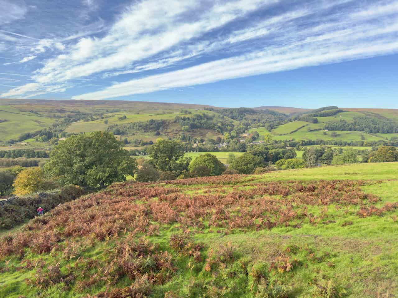
Not far into our Ramsgill walk, we paused on the climb out of Bouthwaite to look back over the valley. The bracken in the foreground had already turned a rich russet, and beyond the trees the rooftops of Ramsgill sat snugly in the valley bottom. Ramsgill Moor and Gouthwaite Moor rose behind the village, while long streaks of high cloud swept across a bright blue sky.
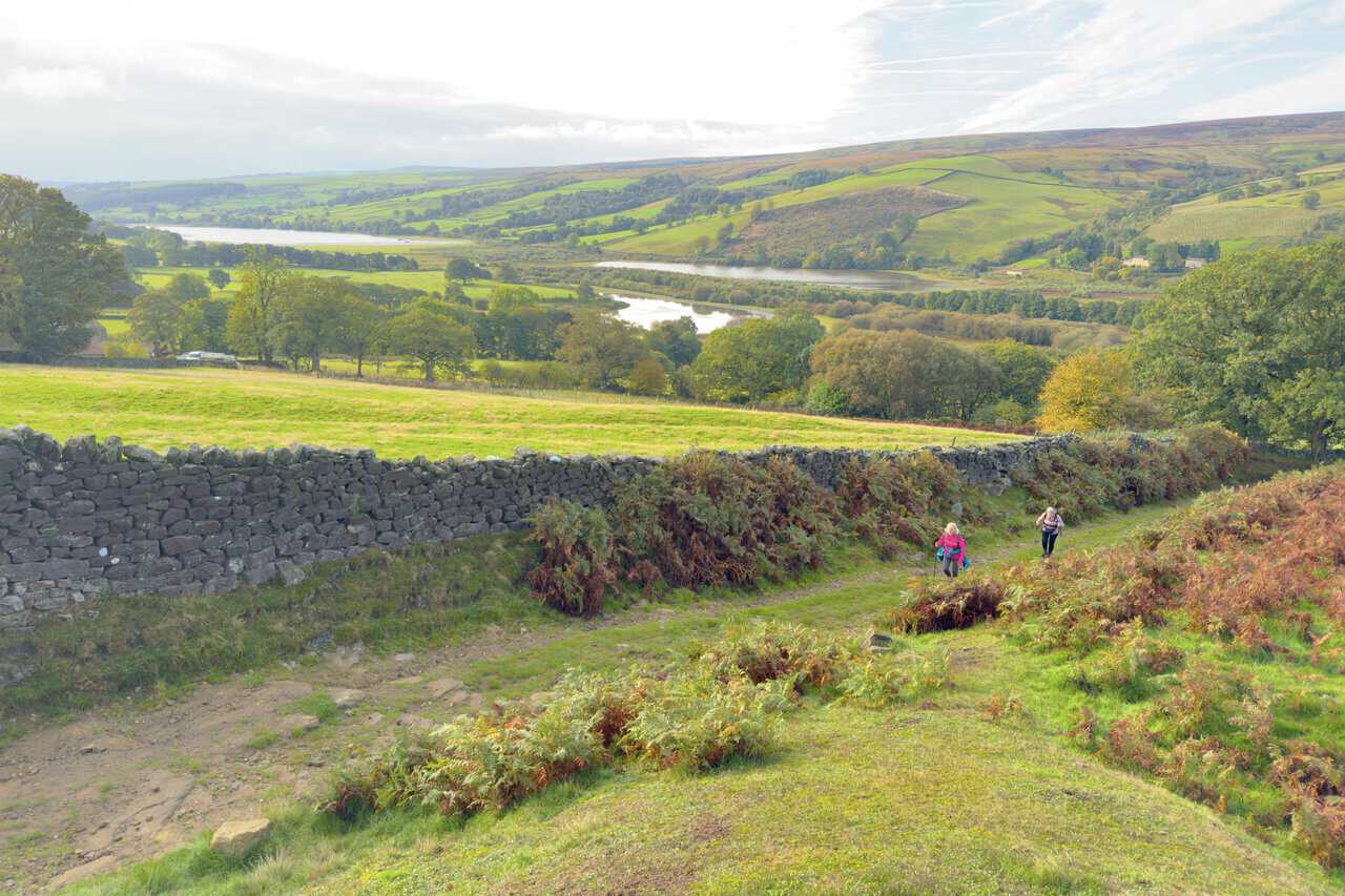
Looking south as we climbed, we could see Gouthwaite Reservoir glinting between the trees along the valley floor. Two of our group made steady progress up the grassy path beside a dry-stone wall, with bracken lining the way. We hadn’t gained much height, but the views were already rewarding.
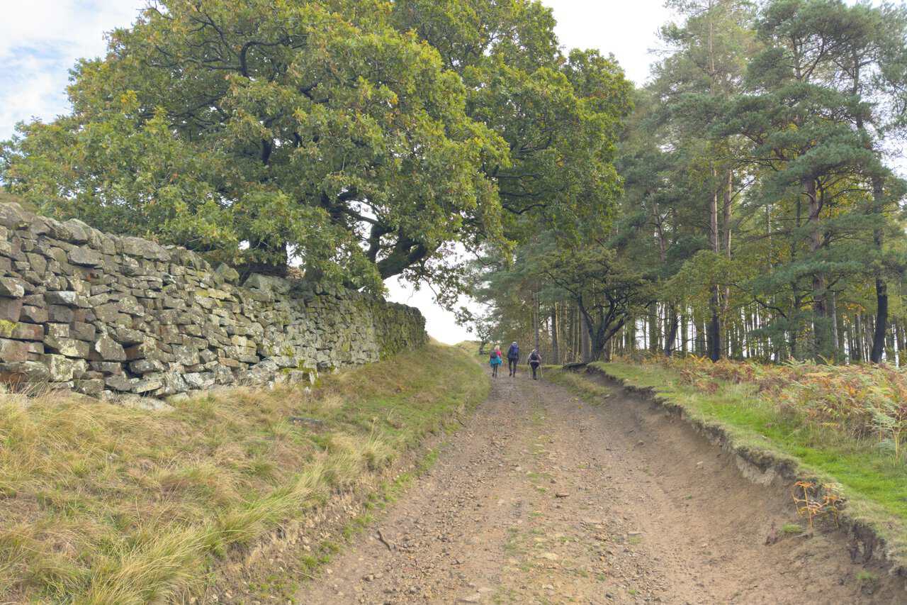
The climb from Bouthwaite followed a broad, stony track past Quarry Wood. A mature oak leaned over the dry-stone wall on our left, while tall pines lined the right-hand side. It was a steady pull uphill, but the track was easy underfoot and we took it at a comfortable pace.
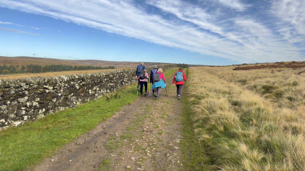
We headed north on the track across Covill House Moor, with a lichen-covered dry-stone wall on our left and pale moor grass stretching away to our right. Wispy high cloud fanned out across the sky above us. The track was well defined and the going was easy, so we could simply enjoy being out on the open moorland.
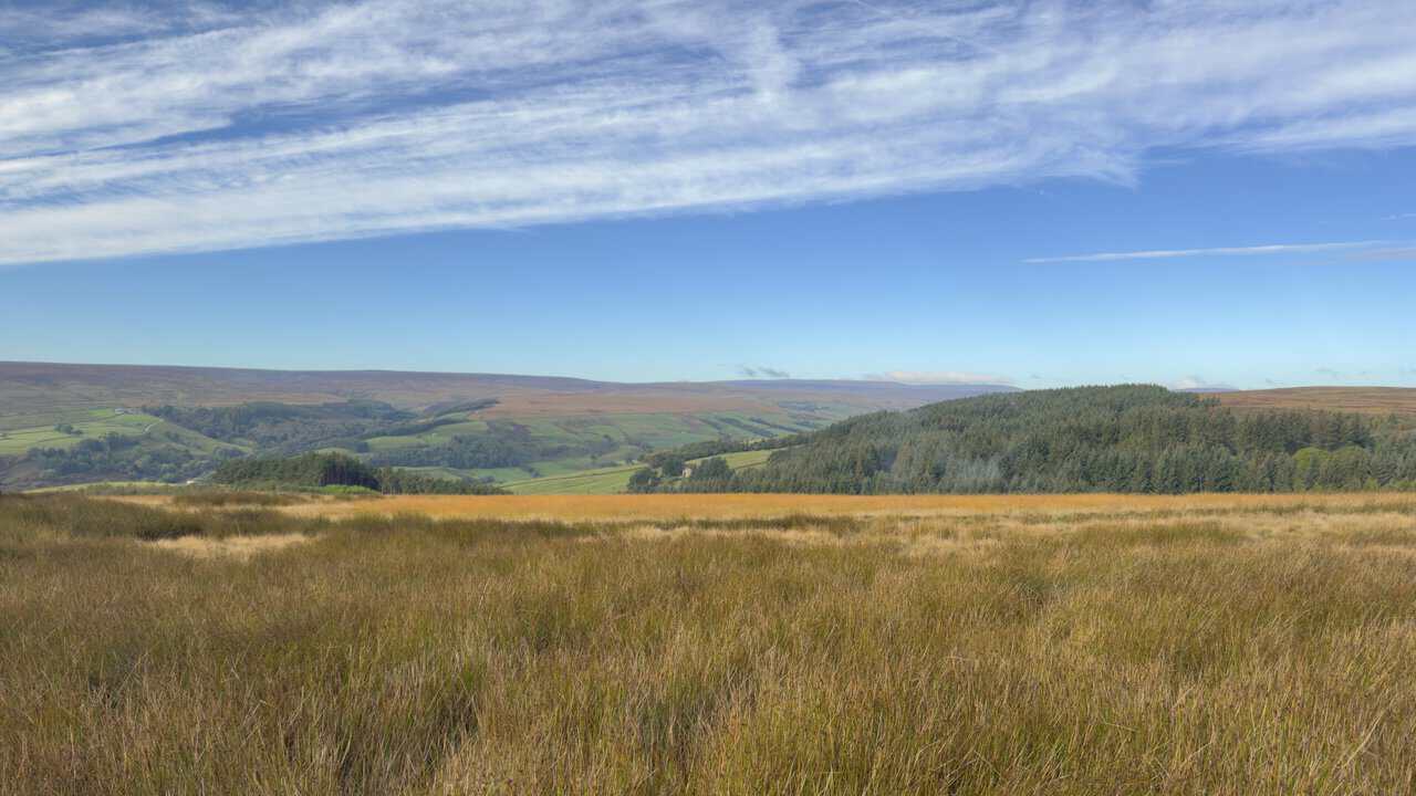
As we crossed Covill House Moor, we looked left, westwards across the valley towards Ramsgill Moor. Golden moor grass filled the foreground, with a dark conifer plantation to the right. Beyond it, a patchwork of green fields led up to the moorland on the far side of Nidderdale.
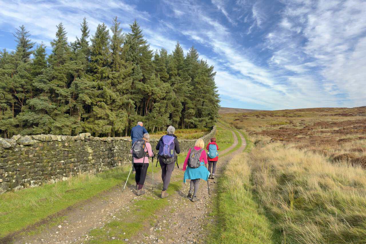
The track then led us past the eastern edge of Helks Wood, where tall conifers rose above a mossy dry-stone wall. To our right, the open moor was a mix of heather and pale grasses. Ahead, the track curved gently towards the higher ground of Fountains Earth Moor.
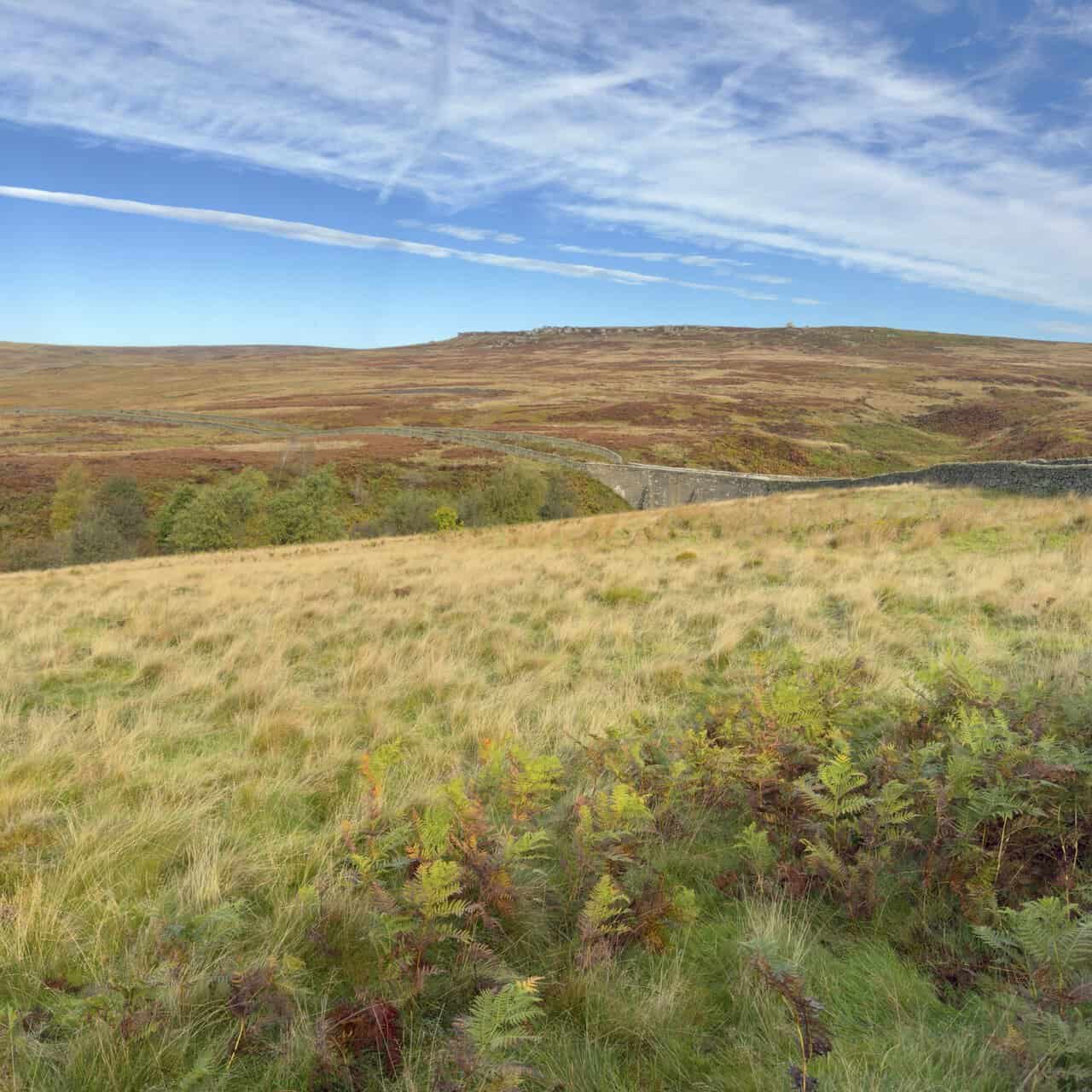
Sypeland Crags came into view on the skyline of Fountains Earth Moor, a line of gritstone outcrops along the top of the ridge. Below them, dry-stone walls wound their way across the moor, which glowed with the reds, browns and golds of heather, bracken and grass in early autumn. In the middle distance, we could just make out the stone bridge we would soon be crossing.
At this junction on Fountains Earth Moor, we left the Six Dales Trail and took the left-hand fork across Sype Land. Wooden gates stood in the walls on either side of the track. Sypeland Crags lined the skyline ahead as our friends strode on towards them.
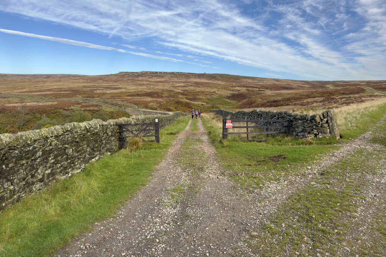
We followed the track north-west across the moor and over a stone bridge spanning Lul Beck. A dry-stone wall carried on right across the top of the bridge, curving with the track. It was one of the most striking sights of our Ramsgill walk, with Sypeland Crags still on the skyline ahead.
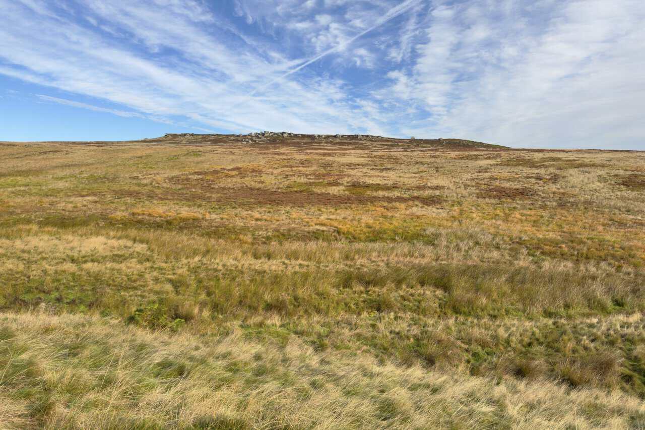
Sypeland Crags rose above a wide sweep of moorland as we carried on along the track. Rushes, grasses and heather mixed greens, golds and russets across the moor, while high cloud and a vapour trail streaked the blue sky above. The crags lay to the north-east of the track, with Jenny Twigg and her Daughter Tib a little beyond them.
By now, the views to the west were really opening up. Beyond a lichen-topped dry-stone wall and a long line of fencing, the moorland stretched away towards the horizon. Great Whernside, Little Whernside and, further away, Buckden Pike were becoming easier to pick out. A dark band of conifers sat in the middle distance, with walls running across the moor beyond.
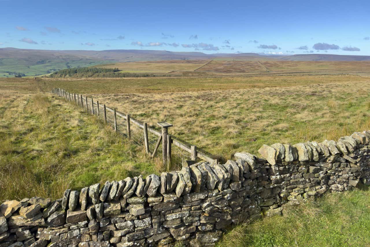
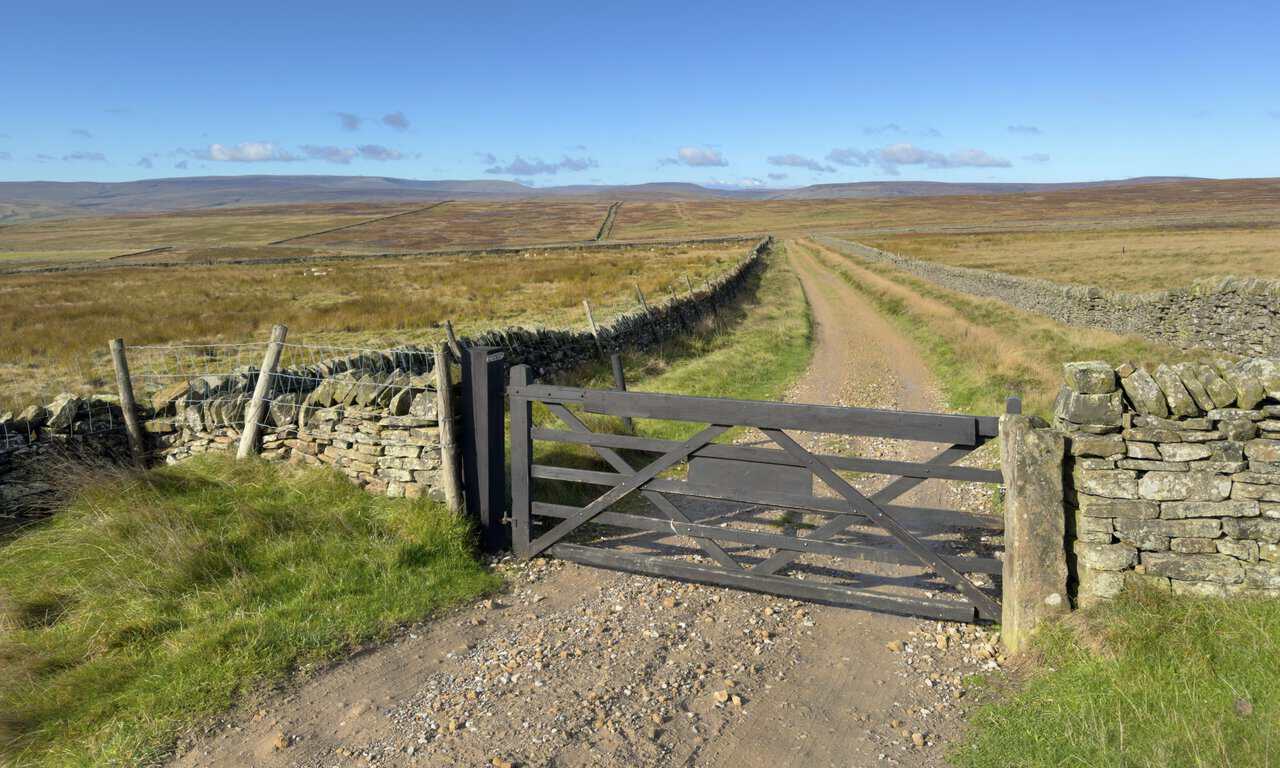
We followed a walled track towards Pot Moor High Road, passing this wooden gate along the way. Dry-stone walls ran off in all directions across the moor, and the distant fells on the western horizon kept drawing our eyes ahead.
When we reached Pot Moor High Road, I stood on one of the roadside boulders for a photograph. The rocks here also made a handy spot for our coffee break. With the sun shining and high cloud fanning out above us, it was a lovely place to stop for a while.
Shortly after reaching the top of Thrope Edge, we passed the Thrope Edge Shooting House on Lofthouse Moor. The stone building had a small castellated tower at one end, bright blue doors and a green roof, with a white sign bearing the letter R on the tower. It’s a prominent landmark, visible from the valley below, and a popular subject for photographs. Some of our group stopped to take their own.
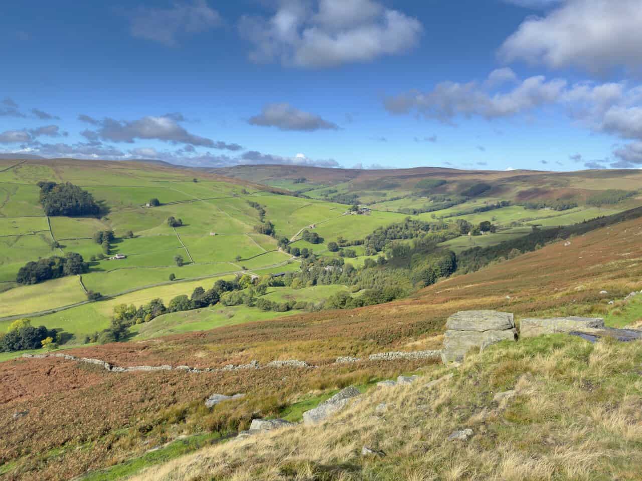
From Thrope Edge, the views down into Nidderdale were superb. Bright green fields, divided by dry-stone walls and dotted with field barns and clumps of trees, spread across the valley. In the foreground, russet bracken and heather surrounded weathered gritstone boulders on the edge of the moor. This was one of the finest views of our Ramsgill walk.
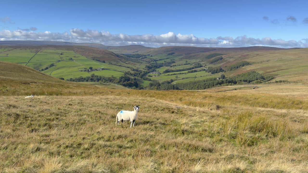
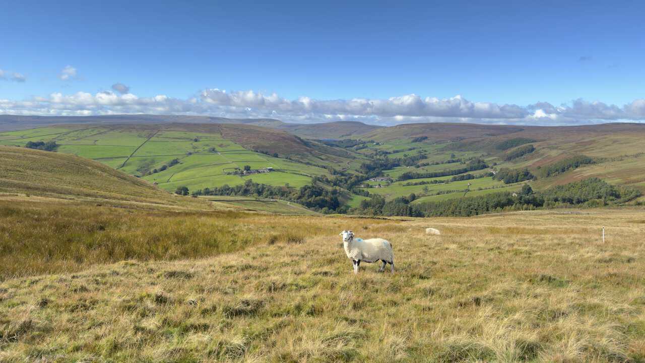
As we continued along Thrope Edge, a curious sheep paused to watch us pass. Behind it, the valley stretched away towards Little Whernside and Great Whernside at its head, with farms and woodland scattered along the valley floor. The River Nidd rises on the slopes of Great Whernside, so we were looking towards the source of the river we would later follow back to Ramsgill.
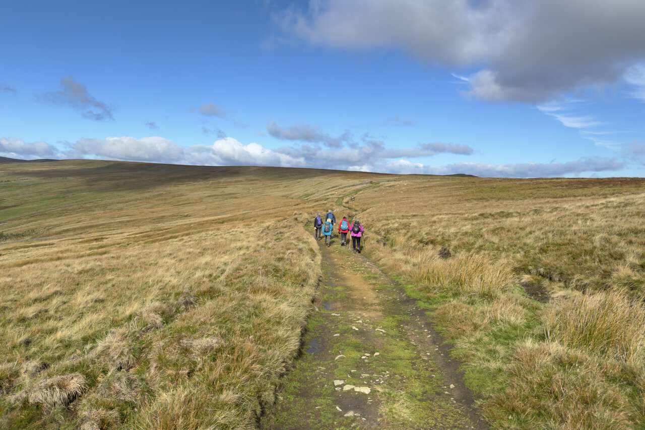
Our route then headed north across Lofthouse Moor on a clear track through pale moor grass. Big skies and passing clouds added to the sense of space, and the gentle gradient made for easy walking.
As we made our way north, the dam of Scar House Reservoir came into view in the far distance, at the head of the valley. Another sheep watched us from the moor grass, with the green fields and woodland of upper Nidderdale spread out below.
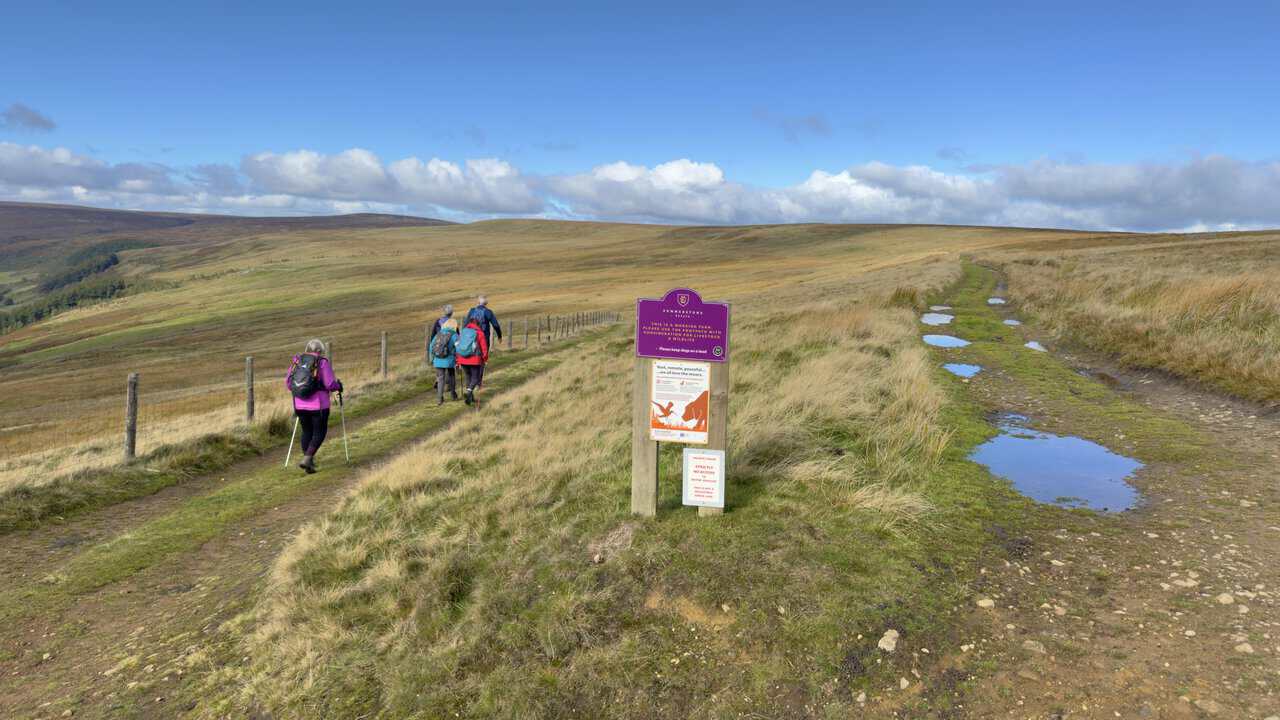
At this junction, the track straight ahead continued along Dale Edge towards Scar House Reservoir, a route I had walked before. This time, we took the left-hand fork beside the fence and began to drop down into the valley. Signs from the Summerstone Estate reminded walkers that this was working farmland and asked for dogs to be kept on leads.
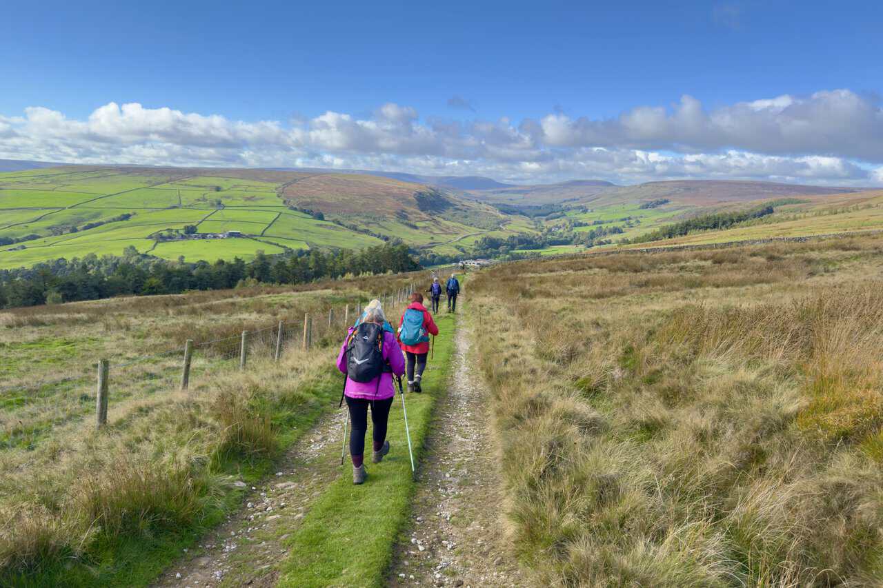
As the second half of our Ramsgill walk began, we headed down towards the valley, with wonderful views straight ahead. Farms, fields and woodland filled the valley floor, while Little Whernside rose in the distance and the dam of Scar House Reservoir was just visible beyond. A grassy strip ran down the middle of the track, which made for pleasant walking underfoot.
The track across Kelds took us steadily down towards Bracken Ridge, with the bracken turning golden on the hillside around us. Ahead, upper Nidderdale spread out below us, with bright green fields, field barns and farmhouses, all framed by the moors at the head of the valley.
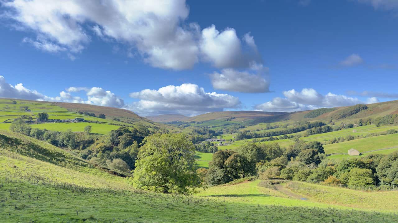
Lower down, on the Nidderdale Way, we looked back up the valley towards Little Whernside. A broad tree stood in the foreground, and beyond it, fields, woodland and farmhouses filled the valley floor under a sky of big white clouds.
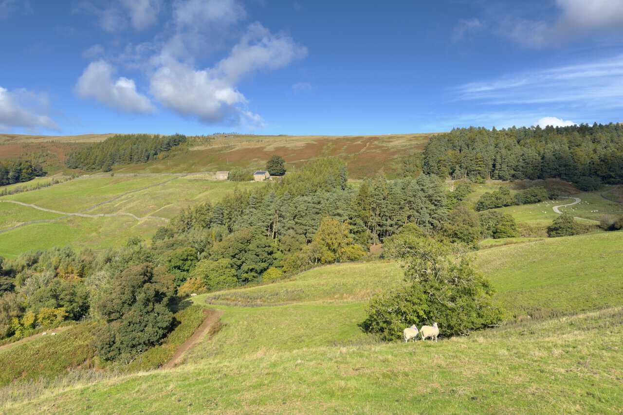
From the Nidderdale Way, we looked back up towards Lofthouse Moor, where we had been walking earlier in the day. A pair of sheep stood beside a small tree, while a path wound down through the fields past stands of pine and stone farm buildings on the hillside.
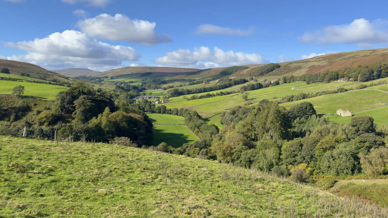
The views through the valley were lovely as we followed the Nidderdale Way south. Green fields, criss-crossed by dry-stone walls and dotted with stone field barns, ran along the valley floor beneath wooded slopes and russet moorland. It made a real contrast to the open moor we had crossed that morning.
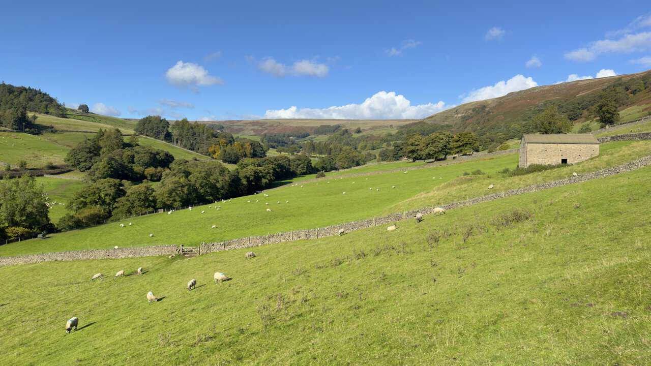
Sheep grazed in the fields beside the Nidderdale Way, close to a sturdy stone field barn. Dry-stone walls ran across the hillside, and the trees in the valley bottom were just beginning to show the first hints of autumn colour.
We passed the Crown Hotel as we walked through Lofthouse. The stone inn was partly covered in creeper, with a mock-Tudor gable at one end. Its sign advertised accommodation, bar meals and cask ales brewed in Masham. The Nidderdale Way passes right by the door, which makes it a handy stop for walkers.
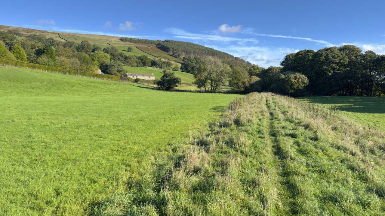
The final section of our Ramsgill walk followed the Nidderdale Way across quiet fields between Lofthouse and Ramsgill, where the path was faint in places. The low afternoon sun lit up the grass, with a stone farmhouse and wooded slopes ahead.
Back in Ramsgill, the Yorke Arms looked splendid in the late afternoon sun, its front almost covered in creeper turning red and gold. The building takes its name from the Yorke family, former lords of the manor, and was once a Michelin-starred restaurant.
We finished our Ramsgill walk with a visit to the Church of St Mary the Virgin. Built in 1842, it has a west tower with pinnacles at each corner, a blue clock face and a pointed arched doorway. Holly trees, heavy with red berries, framed the gravel path leading up to it.
Inside, the church was light and simple, with white walls, wooden pews and a red-carpeted sanctuary. A colourful stained-glass window above the altar caught the eye, and two wagon-wheel light fittings hung from the dark roof beams. In the churchyard outside are the remains of a medieval chapel built by the monks of Byland Abbey.