South-east from the abbey to Keld and through the village to meet the dismantled railway line. South over moorland to Stackhouse Brow then south-west all the way to Mosedale Beck. North along the bridleway to Swindale Head and through the valley, before climbing out and heading north-east to Tailbert. Finally back to Shap Abbey via a minor road, the dismantled railway line and a farmland track. A 12-mile walk in the Lake District.
Recommended Ordnance Survey Map
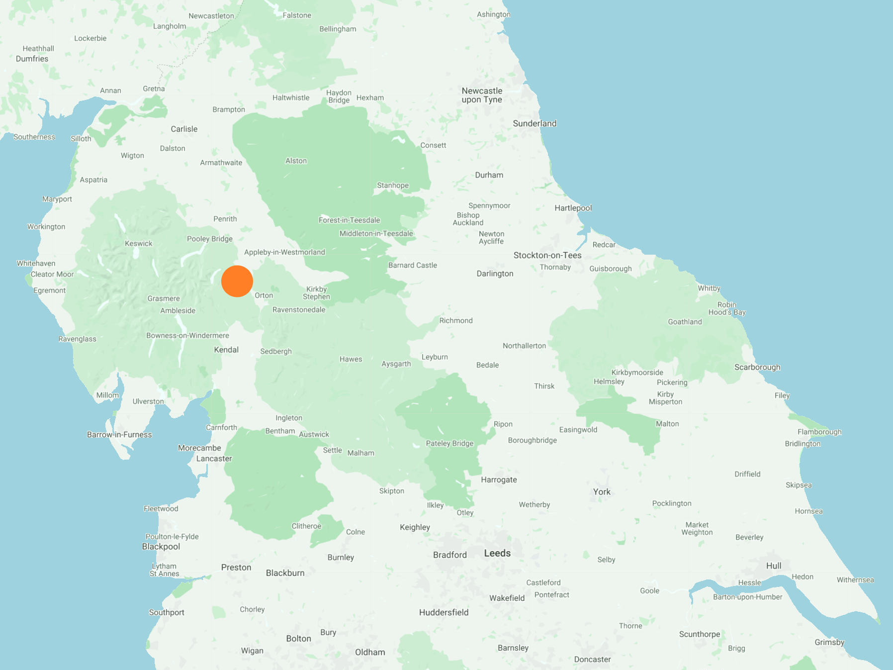
The best map to use on this walk is the Ordnance Survey map of the Lake District North-Eastern Area, reference OS Explorer OL5, scale 1:25,000. It clearly displays footpaths, rights of way, open access land and vegetation on the ground, making it ideal for walking, running and hiking. The map can be purchased from Amazon in either a standard, paper version or a weatherproof, laminated version, as shown below.
Standard Version
The first photo of the day, at 2pm near Mosedale Beck, following a slow four-hour walk in heavy rain across the waterlogged moorland.

Mosedale Beck.

Little Mosedale Beck joins Mosedale Beck just north of Brunt Tongue.

The descent from Nabs Crag to Swindale.

The view over to Forces Falls from Nabs Crag.

Heading down towards Swindale Beck.

Swindale Beck, with Forces Falls in the background.

Swindale Beck.

Foxgloves growing on the verges of Swindale Lane.

The view from Swindale Lane towards the head of the Swindale valley.

Swindale Foot.

Looking back down the valley from Swindale Foot.

Shap Abbey.


Looking over to Abbey Bridge, which crosses the River Lowther.

The view of Shap Abbey from Abbey Bridge.
