Your Complete Guide to Navigating the Farndale Daffodils Walk with Ease
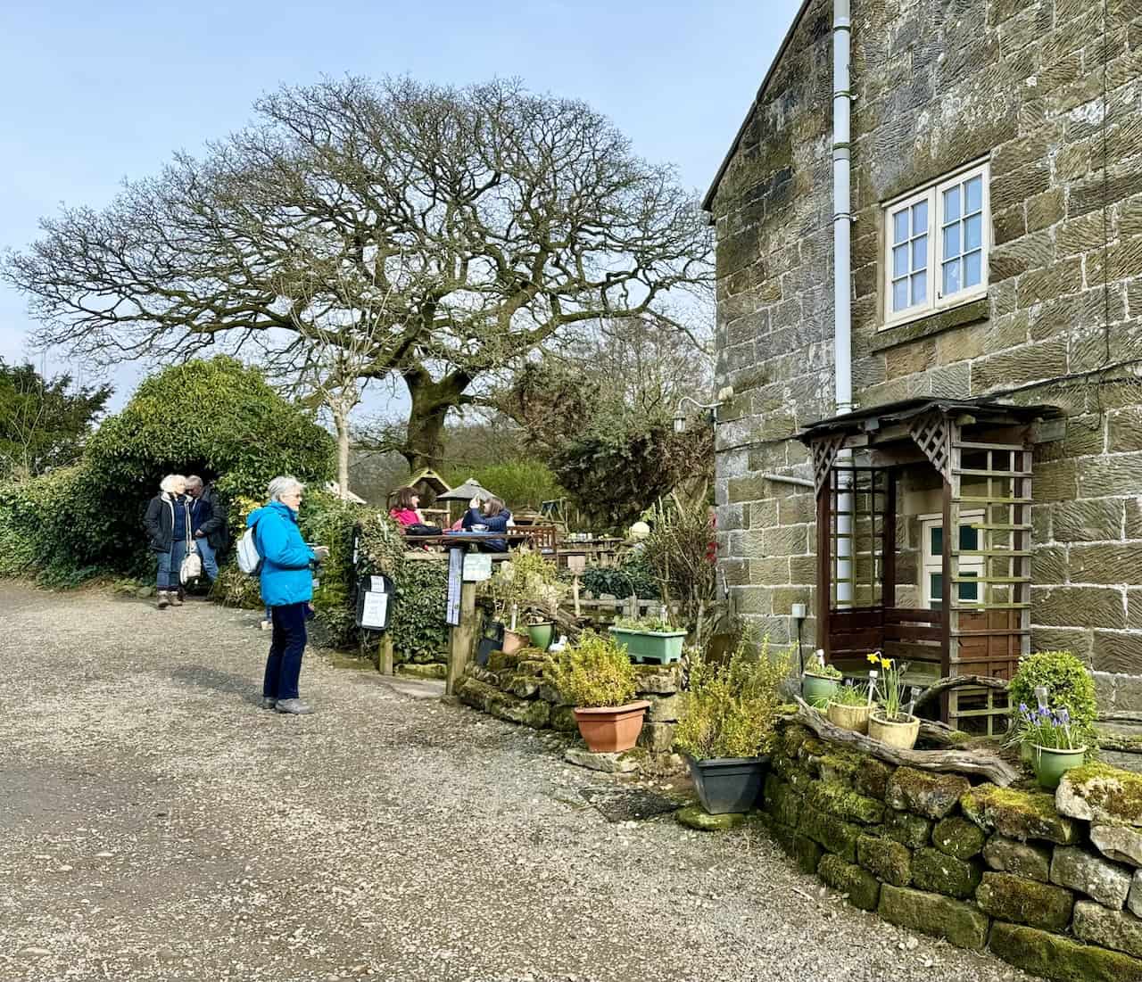
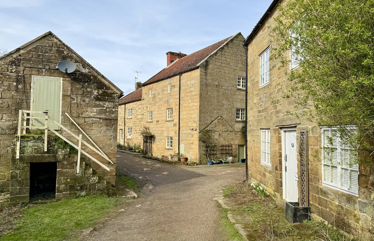
Embark on a captivating journey amidst the blooming Farndale daffodils, starting your walk in Low Mill, a quaint hamlet nestled within the North York Moors. Despite its small size, Low Mill becomes a hub of activity in spring, drawing visitors to its renowned daffodils walk. Thankfully, the village accommodates the influx with ample parking and toilet facilities, ensuring a smooth start to your adventure.
For those approaching from the south, the optimal route to Low Mill involves driving from Kirkbymoorside via Gillamore Road and Kirby Lane to Gillamoor. From there, descend Gillamoor Bank and continue along Daleside Road, which leads directly to your starting point. Alternatively, if travelling from the north, commence your journey on the A171 Guisborough to Whitby road. Navigate through Smeathorns Road to Castleton, traverse Blakey Ridge, and after passing the Lion Inn, turn right towards Church Houses. A left turn onto Daleside Road shortly before the hill’s base will guide you to Low Mill.
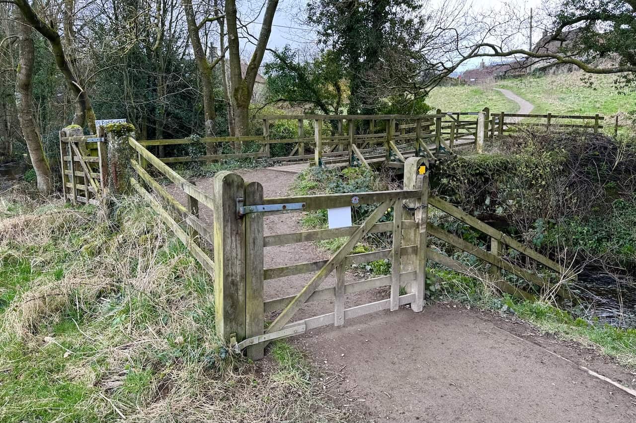
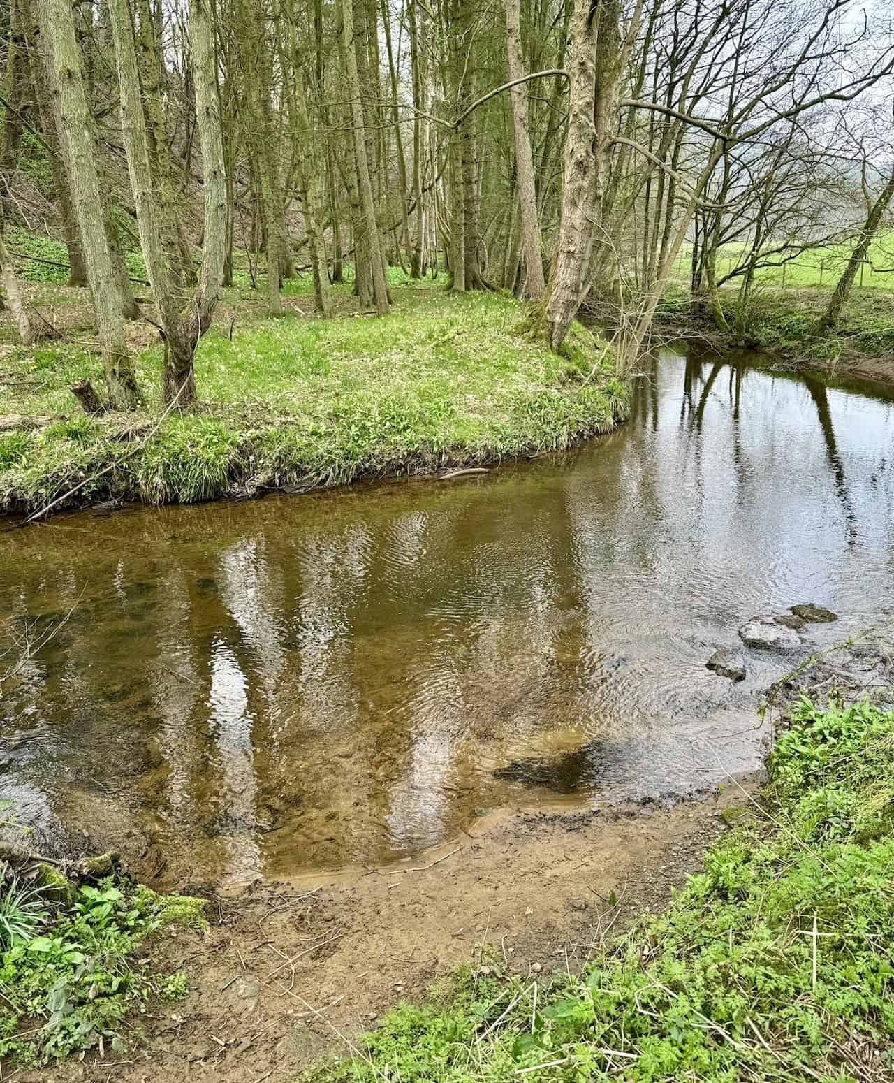
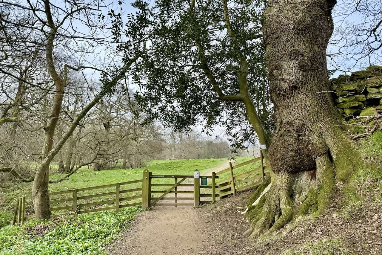
Upon arrival, a brief walk down a well-defined path brings you to a footbridge crossing the River Dove. Here, simply follow the path northwards alongside the river. This route is particularly user-friendly, featuring a flat terrain with minimal inclines and several gates, making it accessible for pushchairs, wheelchairs, and mobility scooters.
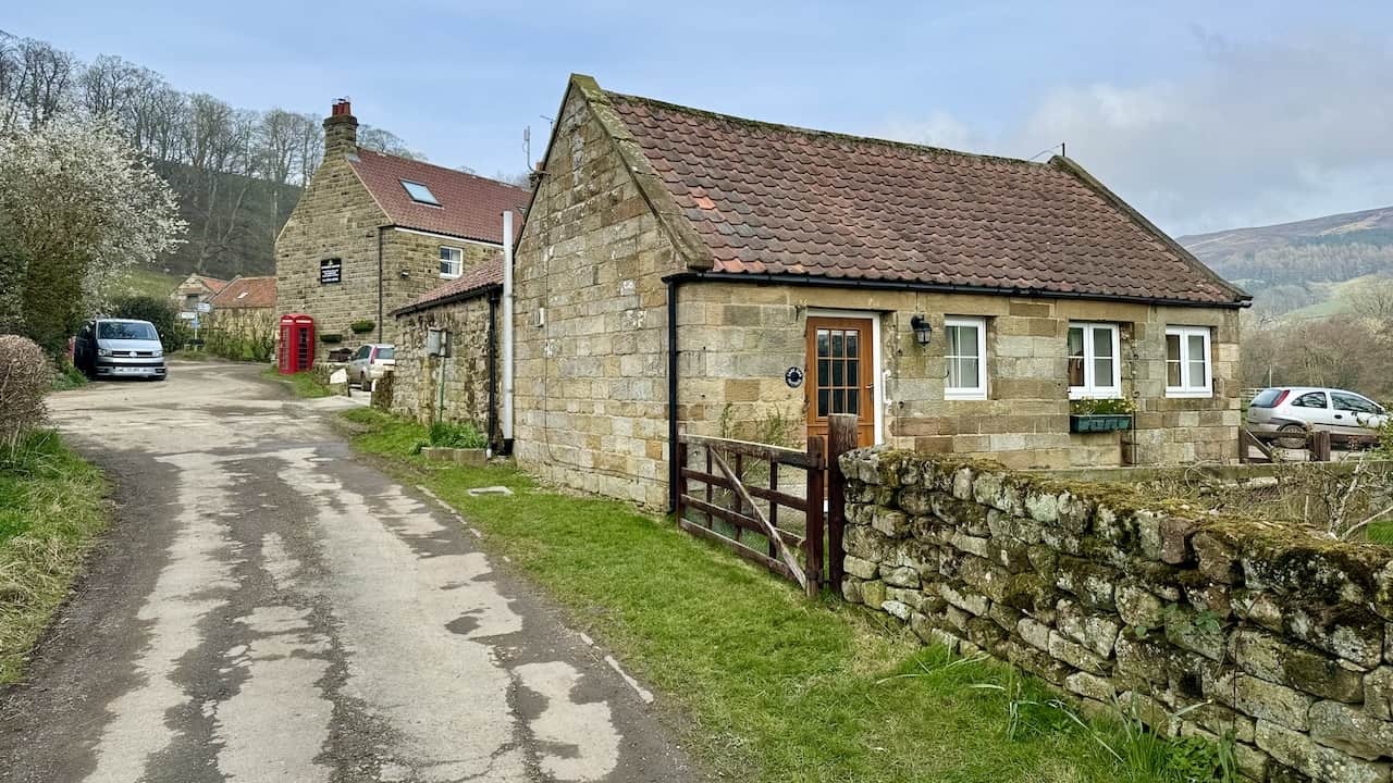
Roughly 1½ miles in, you’ll reach High Mill. Consider pausing at the Daffy Caffy for refreshments. Continuing north from High Mill leads you to a minor road towards the Feversham Arms in Church Houses. A right turn followed by an eastward journey through the village brings you onto Mackeridge Lane, where the charming St Mary’s Church awaits. By this point, you’ve covered just under two miles in a leisurely manner.
For the return leg, simply retrace your steps back to Low Mill, rounding off the walk at just under four miles. This straightforward, there-and-back route offers a delightful experience for the entire family. Remember, while the Farndale daffodils are the main attraction in spring, the walk offers serene beauty and relaxation throughout the year.
Farndale Daffodils Walk: Maps and Tools
Visit either the OS Maps website or the Outdooractive website to view this walking route in greater detail. Both platforms offer a range of features, including the ability to print the route, download it to your device, and export the route as a GPX file. You can also watch a 3D fly-over and share the route on social media.
Farndale Daffodils Walk: Distance, Duration, Statistics
Distance: 3¾ miles
Distance: 6 kilometres
Duration: 1¾ hours
Ascent: 209 feet
Ascent: 64 metres
Type: Linear walk
About the Farndale Daffodils
Farndale, nestled within the heart of the North York Moors National Park, is celebrated for its magnificent display of wild Farndale daffodils. Each spring, this secluded valley becomes a focal point for visitors who are drawn to the enchanting spectacle of thousands of daffodils blossoming. The Farndale daffodils are not only a feast for the eyes but also a significant part of the area’s natural and cultural heritage.
Historical and Cultural Significance
The wild daffodils of Farndale, sometimes referred to as ‘Lent lilies’, have been a feature of the valley for centuries. Although some tales attribute their planting to monks from Rievaulx Abbey in medieval times, it is more likely that these daffodils are natural, thriving due to the valley’s isolation and unique environmental conditions.
Natural Beauty and Biodiversity
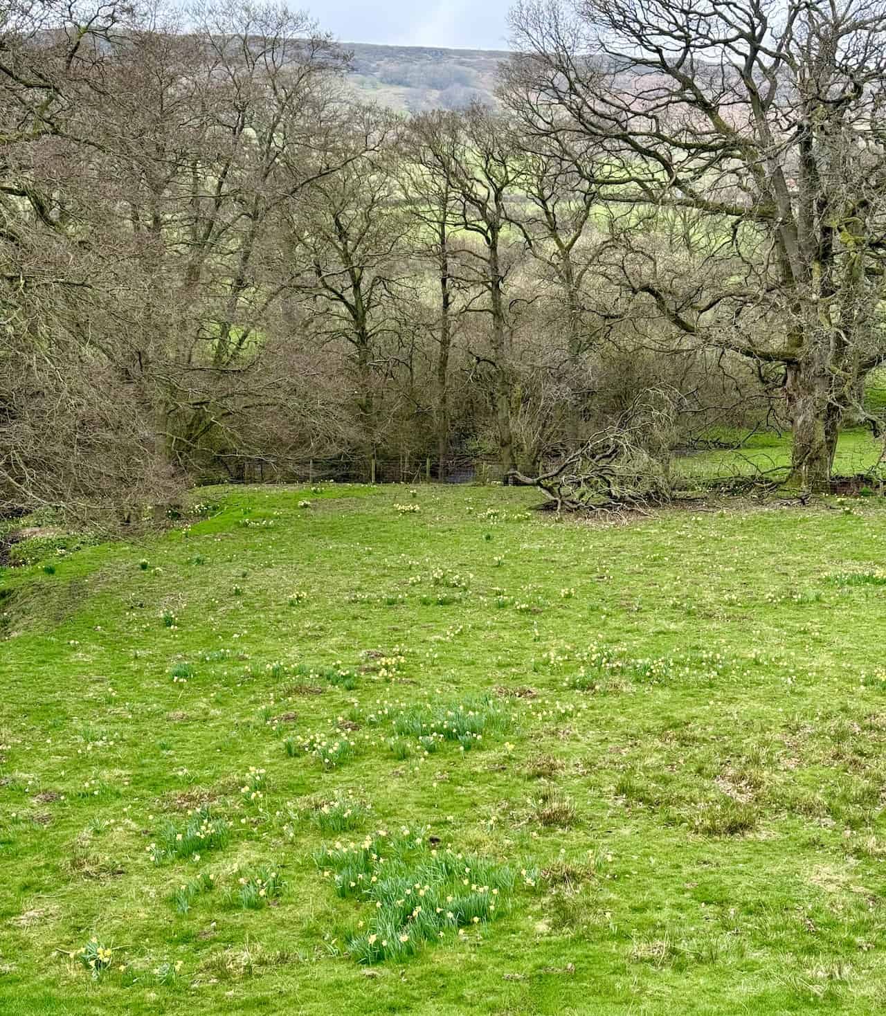
Farndale’s daffodils are known scientifically as Narcissus pseudonarcissus, a species native to Britain. They thrive in the partially shaded conditions along the River Dove, which meanders through the valley. The daffodils in Farndale are unique due to their resilience and ability to flourish in the wild, contrasting with the cultivated varieties found in gardens.
The daffodil display contributes to the biodiversity of the area, supporting various insect species, especially pollinators. The presence of these flowers not only beautifies the landscape but also plays a crucial role in the ecological balance of Farndale.
Visiting the Farndale Daffodils
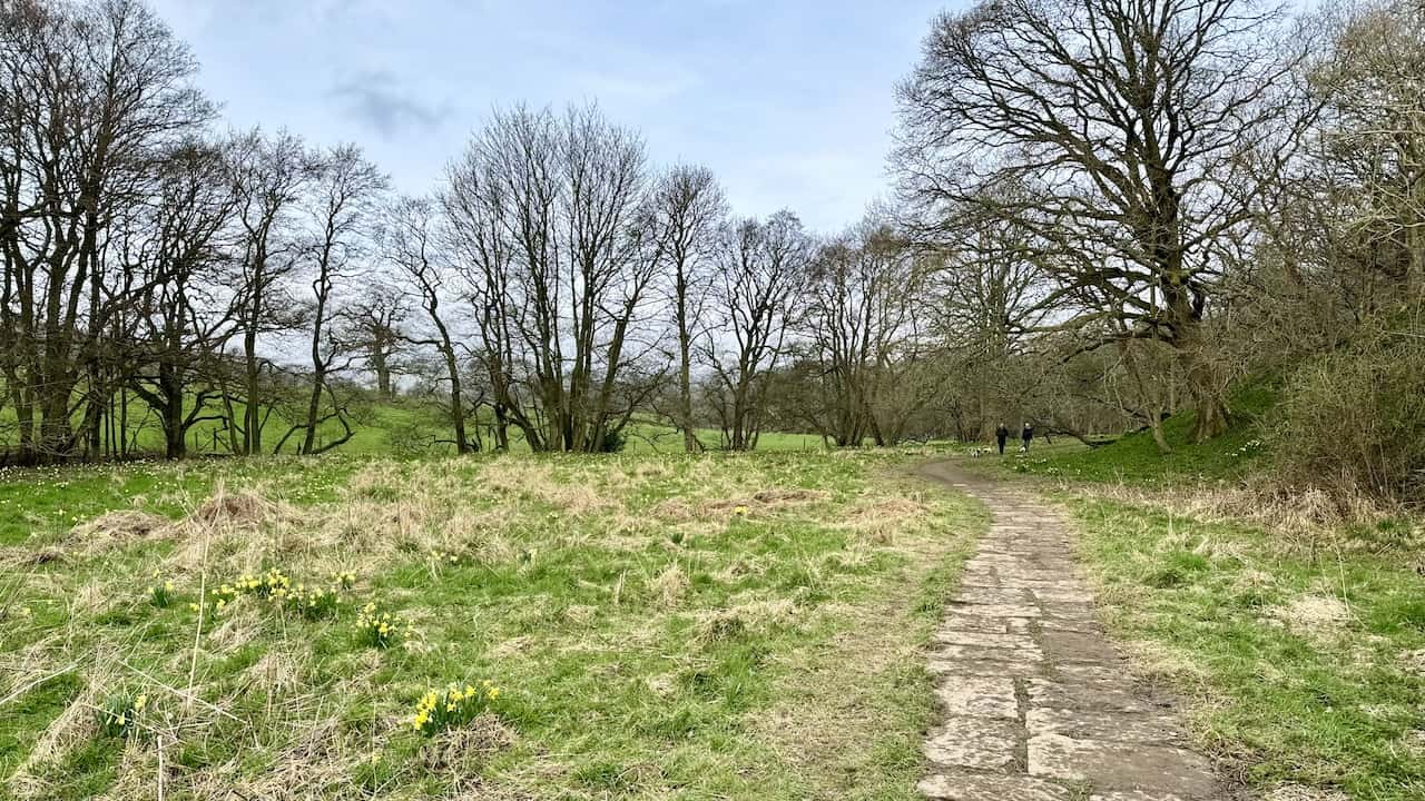
The best time to visit Farndale to witness the daffodils is from mid-March to early April, although this can vary slightly each year depending on the weather. The Farndale daffodil walk, a well-established route approximately four miles long, offers visitors a delightful way to experience the daffodils. This path takes walkers along the River Dove, through ancient woodlands, offering picturesque views of the daffodils and the surrounding countryside.
Conservation Efforts
The popularity of Farndale’s daffodils has led to increased visitor numbers, which has the potential to impact the natural environment. In response, conservation measures have been put in place to protect the daffodils and their habitat. These include the maintenance of footpaths to minimise erosion, the provision of designated parking areas to reduce congestion, and the promotion of responsible visitor behaviour, such as sticking to marked paths and refraining from picking the flowers.
Recommended Ordnance Survey Map
The best map to use on this walk is the Ordnance Survey map of the North York Moors Western Area, reference OS Explorer OL26, scale 1:25,000. It clearly displays footpaths, rights of way, open access land and vegetation on the ground, making it ideal for walking, running and hiking. The map can be purchased from Amazon in either a standard, paper version or a weatherproof, laminated version, as shown below.
Farndale Daffodils Walk: My Photos
Low Mill in Farndale transforms into a bustling hub each spring, as the mass blooming of daffodils attracts visitors from far and wide.
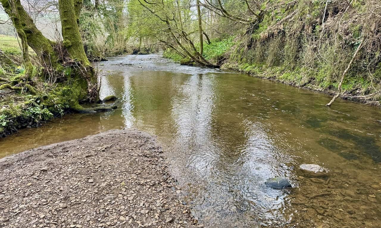
A footbridge crossing the River Dove in Low Mill signals the beginning of a delightful walk to see the Farndale daffodils.
The charming River Dove, winding through the Farndale valley near Low Mill, flows southward to converge with the River Rye, eventually joining the River Derwent.
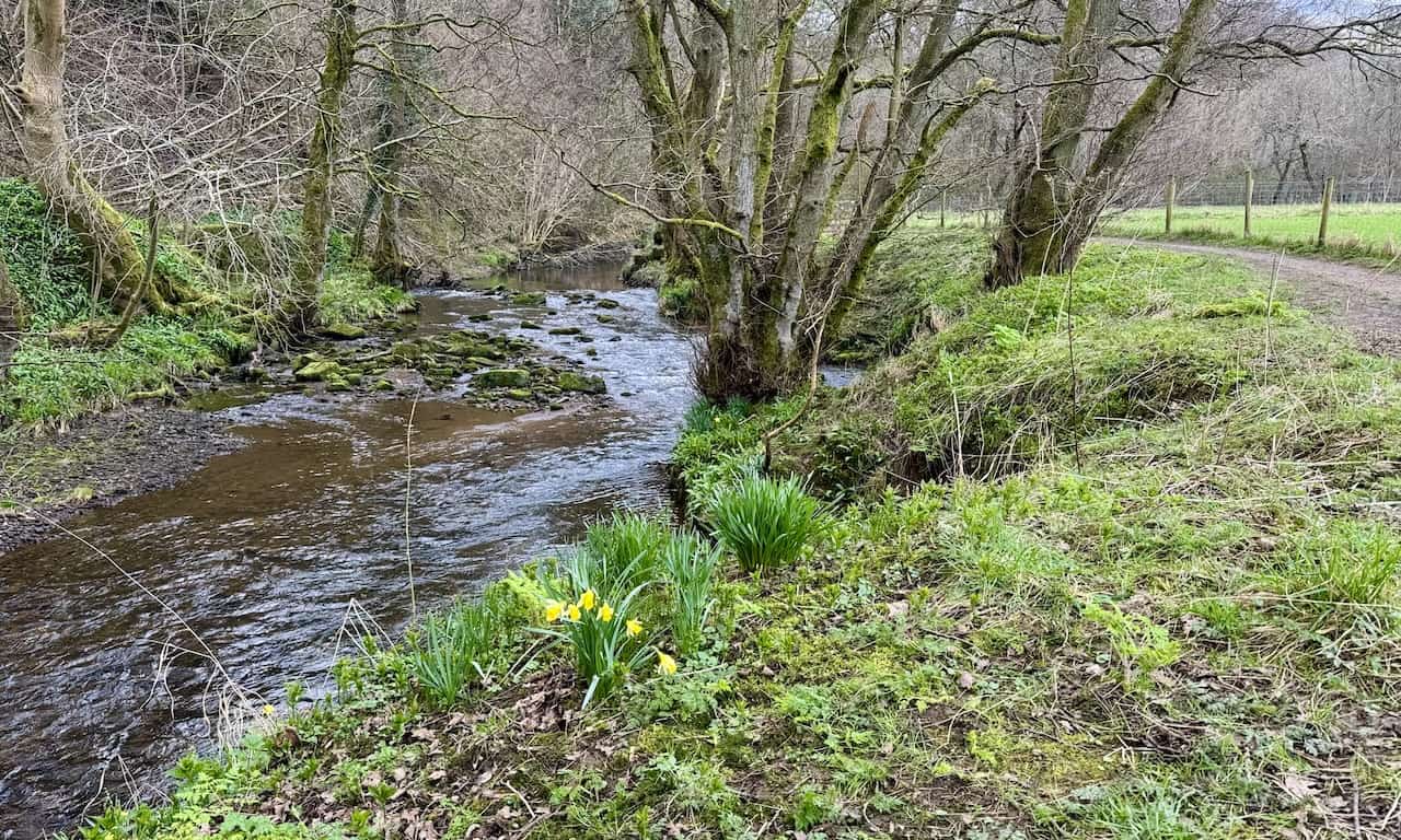
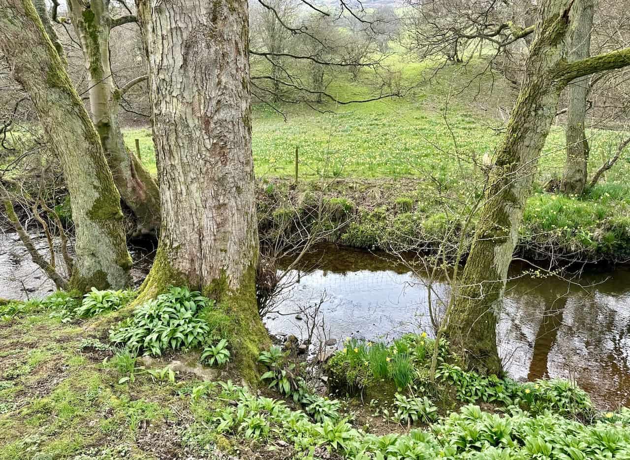
On the western bank of the River Dove, daffodils bloom profusely in spring, their origins shrouded in legend. While spring showcases the daffodils, this walk remains beautiful year-round, offering more than just its seasonal floral display.
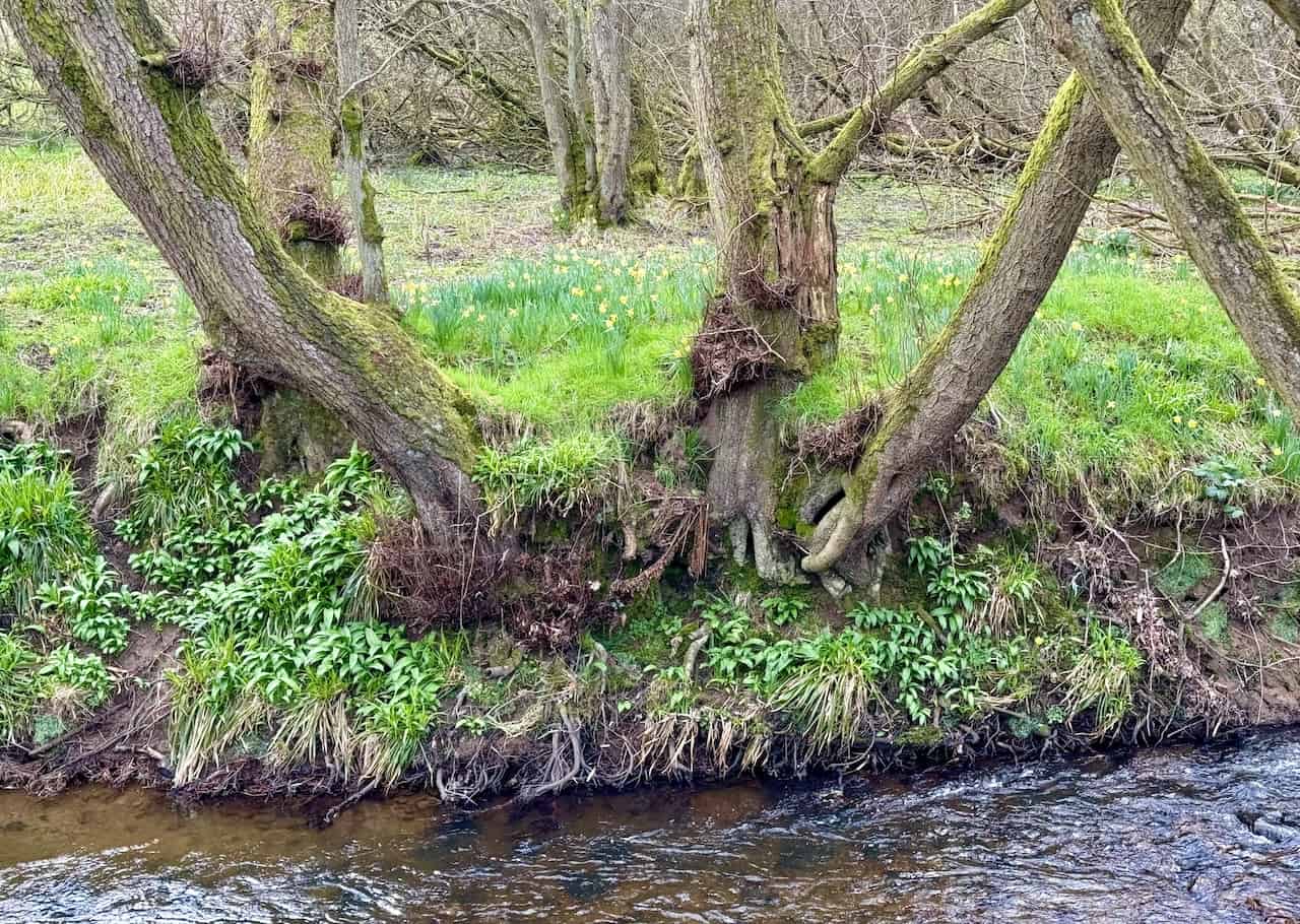
Although some stories suggest that monks from Rievaulx Abbey planted the daffodils in medieval times, it is more likely that these flowers are a natural occurrence, flourishing due to Farndale’s secluded and unique environmental conditions.
The path along the River Dove, connecting Low Mill to Church Houses, is mostly level and accessible, accommodating both pushchairs and wheelchairs. Despite the presence of gates that need to be opened and closed, they are minor hindrances, ensuring an easy and inclusive experience for all visitors.
The annual spectacle of Farndale daffodils each spring is a testament to the ongoing conservation efforts by the North York Moors National Park Authority and dedicated local volunteers. To help preserve this fragile ecosystem for future generations, visitors are encouraged to stick to the paths and refrain from picking the flowers or disrupting the natural habitat.
The northern approach to High Mill, a historical water-powered corn mill, adds a layer of historical interest to the journey.
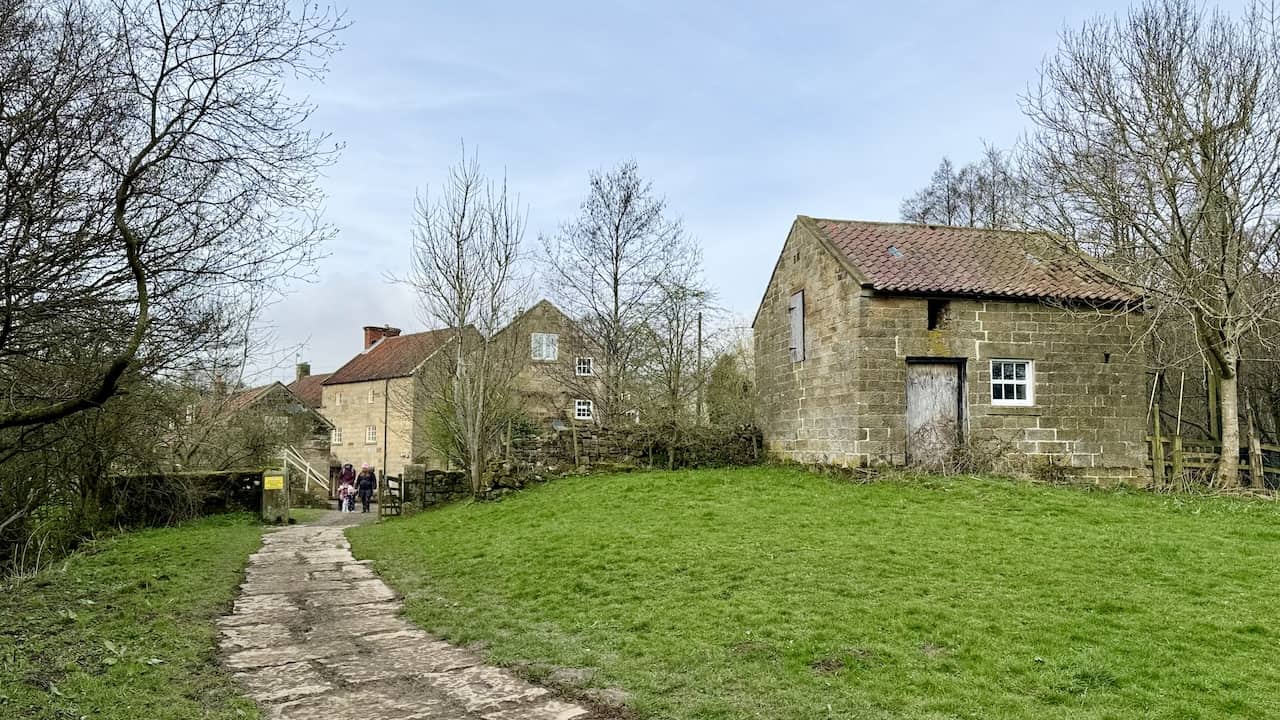
The Daffy Caffy at High Mill provides a charming pit stop for refreshments amidst the beauty of the Farndale daffodils.
Mill Lane leads to the welcoming Feversham Arms in Church Houses, offering a pleasant continuation of the journey.
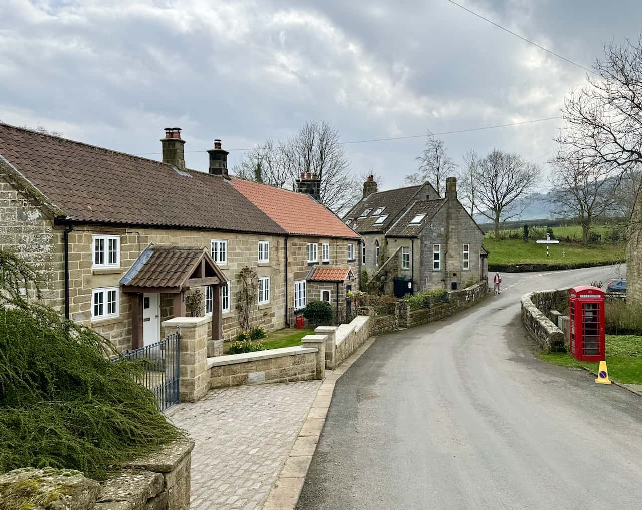
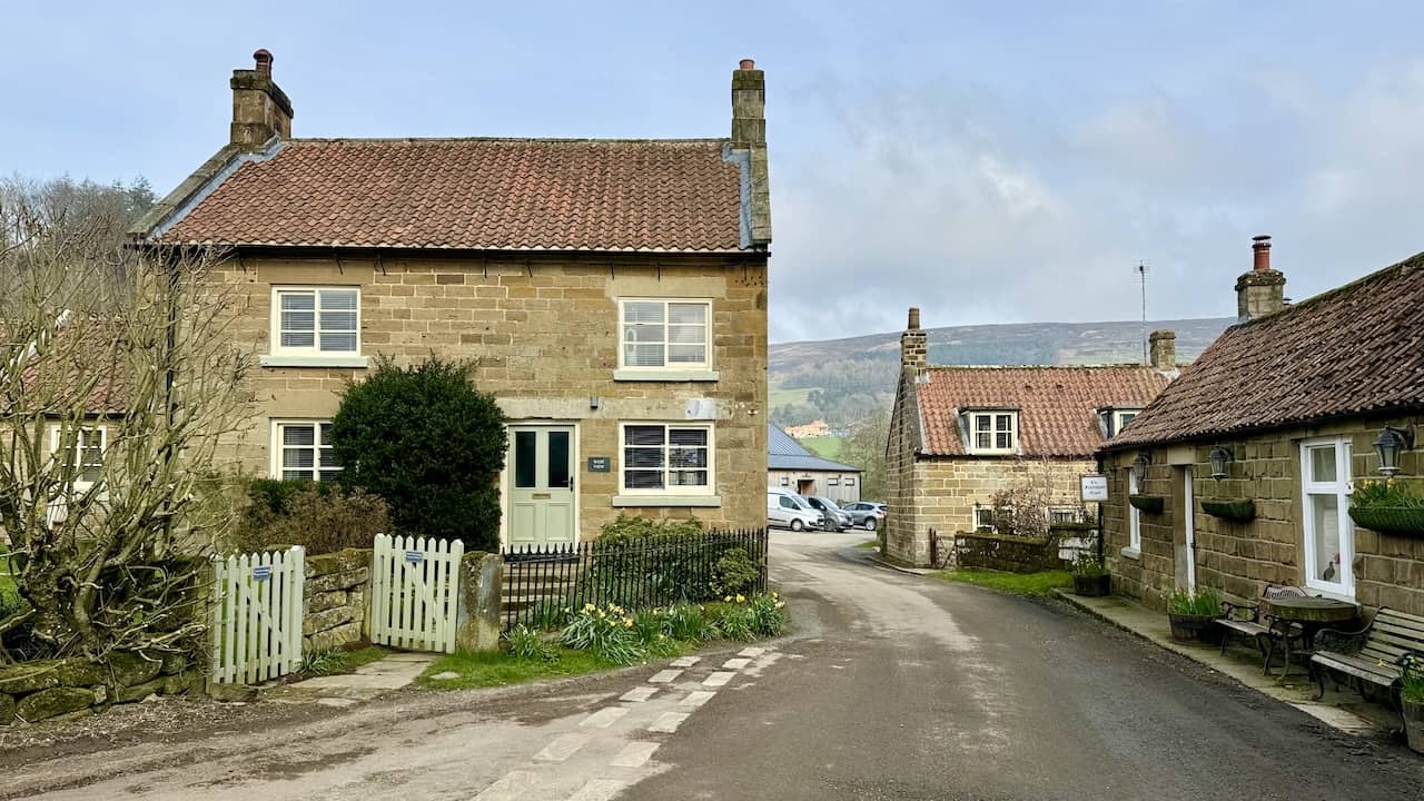
The picturesque hamlet of Church Houses serves as a quaint highlight along the way.
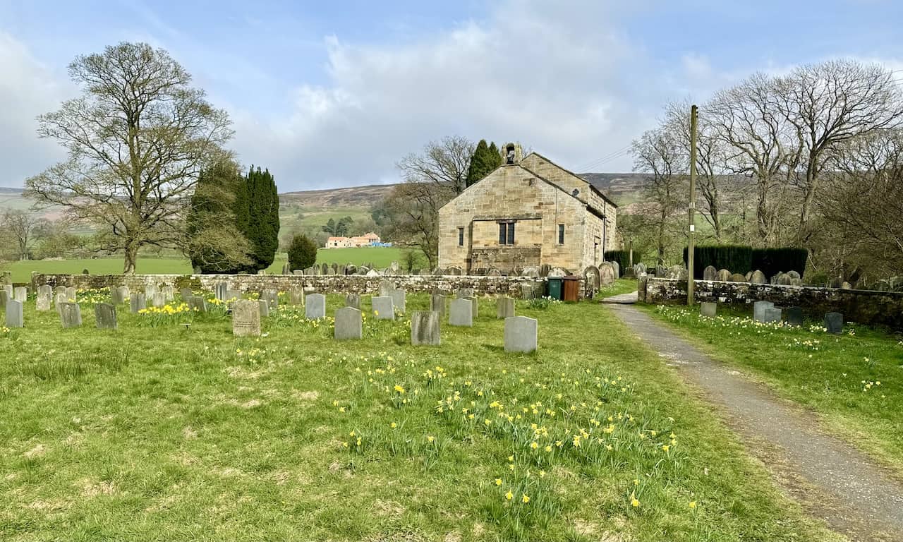
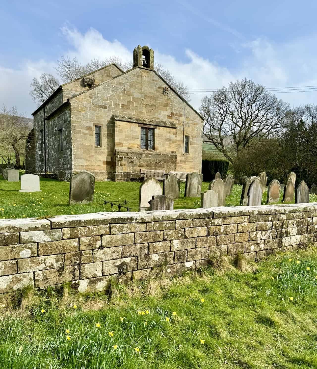
St. Mary’s Church, located on Mackeridge Lane in Church Houses, Farndale, is a Grade II listed building as of 13 July 1955. Marking the halfway point of this Farndale daffodils walk, it signals the time to return, rounding off the experience with historical and architectural interest.
For enthusiasts seeking a more encompassing adventure, I’ve crafted a circular variant of the Farndale daffodils walk. This journey commences from Church Houses, where conveniently, the church provides a parking facility to accommodate walkers.
Amazon’s Top Walking Boots: Four Standout Choices for Men and Women
For walking and hiking, the right boots are essential for both comfort and safety. While Amazon boasts a wide range, certain boots emerge as top-sellers. From those, here are four I personally favour. As an Amazon affiliate, I may earn a small commission from any purchases made through the links provided. This helps support the upkeep of this website. Rest assured, you won’t pay a penny extra, but your purchase will contribute to keeping my site running smoothly. Happy walking!

Berghaus Men’s Hillmaster II Gore-Tex Walking Boots
These fully waterproof leather walking boots feature a Gore-Tex lining, ensuring no water enters whilst allowing feet to breathe and stay cool. Made from full-grain leather, they promise unmatched durability and comfort. The boots come with memory foam tongues and cuffs that mould to your feet for a tailored fit, and the Vibram Hillmaster outsoles offer confidence on challenging terrains.

Salewa Men’s Mountain Trainer Mid Gore-Tex Walking Boots
Made from durable suede and abrasion-resistant textile, these men’s hiking boots are both lightweight and sturdy. The upper material is enhanced by a 360° full rubber sheath. Their dual-layer midsole with Bilight technology ensures ergonomic cushioning and grip, especially on extended hikes. The Vibram Wrapping Thread Combi outsoles allow a natural walking feel, and the Gore-Tex lining provides waterproofing, breathability, and optimal weather protection. Furthermore, the patented Salewa 3F system ensures flexibility, a secure heel grip, and a blister-free fit.

Berghaus Women’s Supalite II Gore-Tex Walking Boots
Specially designed for women, these hiking boots offer waterproofing and breathability, thanks to their Gore-Tex lining. Crafted from full-grain abrasion-resistant leather, they’re durable enough for the toughest hikes. The Supalite soles ensure stability and traction, and the EVA midsoles add comfort for extended walks.

Merrell Women’s Moab 3 Mid Gore-Tex Walking Boots
These hiking boots incorporate a Gore-Tex waterproof membrane, blending breathability with superior waterproof performance. The combination of pigskin leather and mesh on the uppers, along with the suede outer material, ensure durability and style. Enhancements include 100% recycled laces, webbing, and mesh lining. Additionally, bellows tongues, protective toe caps, and Vibram TC5+ rubber soles ensure protection and ease on any terrain.