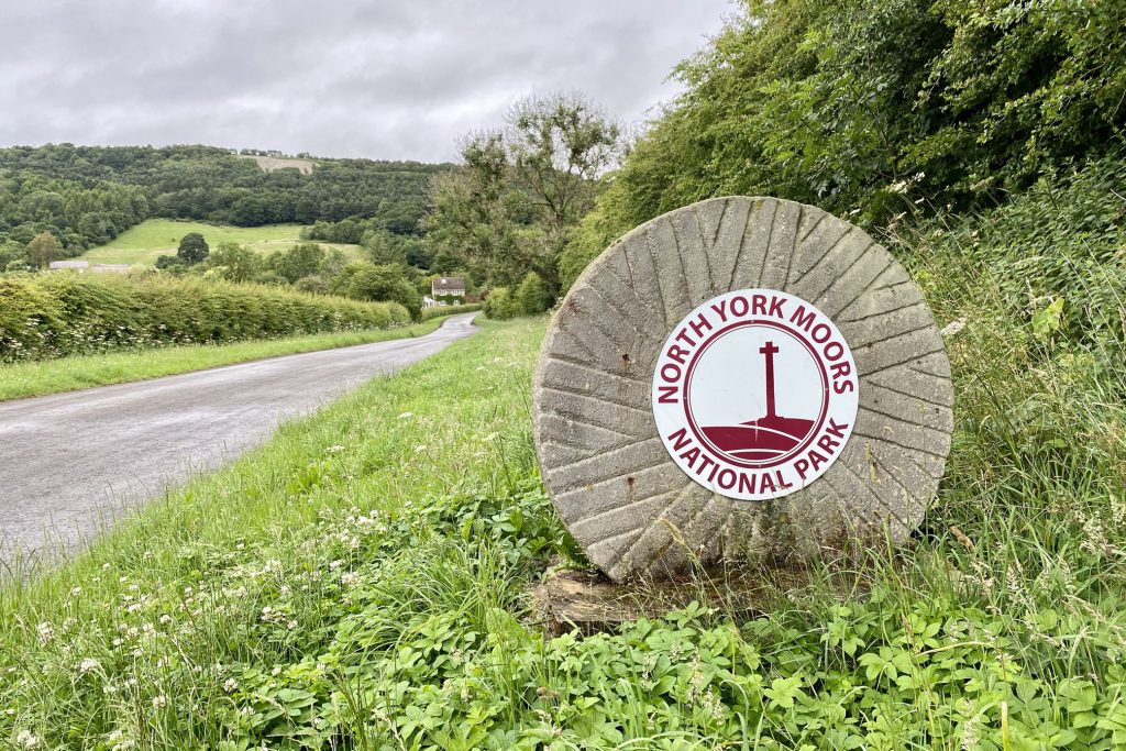
South to Kilburn from the car park near Acre House, then north-east and north via High Kilburn and High Town Bank Road to Shaw’s Gate. South past Scotch Corner almost to Oldstead, before heading north-east through woodland and across farmland to Nettle Dale, passing Cam Farm and Scawton village on the way. West along the Cleveland Way to Cold Kirby and over to the inland cliff top above South Woods. Finally a stroll south, again on the Cleveland Way, across Sutton Bank to the White Horse of Kilburn and the starting point. A 15-mile walk in the North York Moors.
Recommended Ordnance Survey Map
The best map to use on this walk is the Ordnance Survey map of the North York Moors Western Area, reference OS Explorer OL26, scale 1:25,000. It clearly displays footpaths, rights of way, open access land and vegetation on the ground, making it ideal for walking, running and hiking. The map can be purchased from Amazon in either a standard, paper version or a weatherproof, laminated version, as shown below.
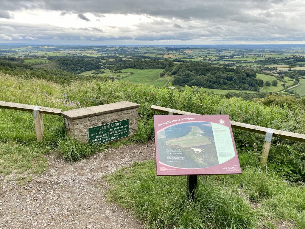
The White Horse of Kilburn
Seen here from Carr Lane north of Kilburn village, behind the house on the left. The famous landmark is the most northerly turf-cut hill figure in England. At just over half an acre in area, 318 feet long and 220 feet high, it must have taken a huge effort to make.
The White Horse is the handiwork of a Victorian businessman and village schoolmaster.
Thomas Taylor, a native of Kilburn, worked for a London merchant. He had seen the famous chalk hill figures of southern England and wanted to create something similar for his home village.
In 1857 the master of the local school took up his inspiration. He and his pupils marked out the figure of a horse on the hillside high above the village. A team of 31 volunteers did the actual cutting. When the shape of the horse was complete, they deposited six tons of lime on the naturally greyish rock beneath to whiten it. The horse still has to be whitened at regular intervals.
Its conspicuousness hasn’t always been considered a benefit – during World War II the horse had to be covered to stop it becoming a target for German bombers.
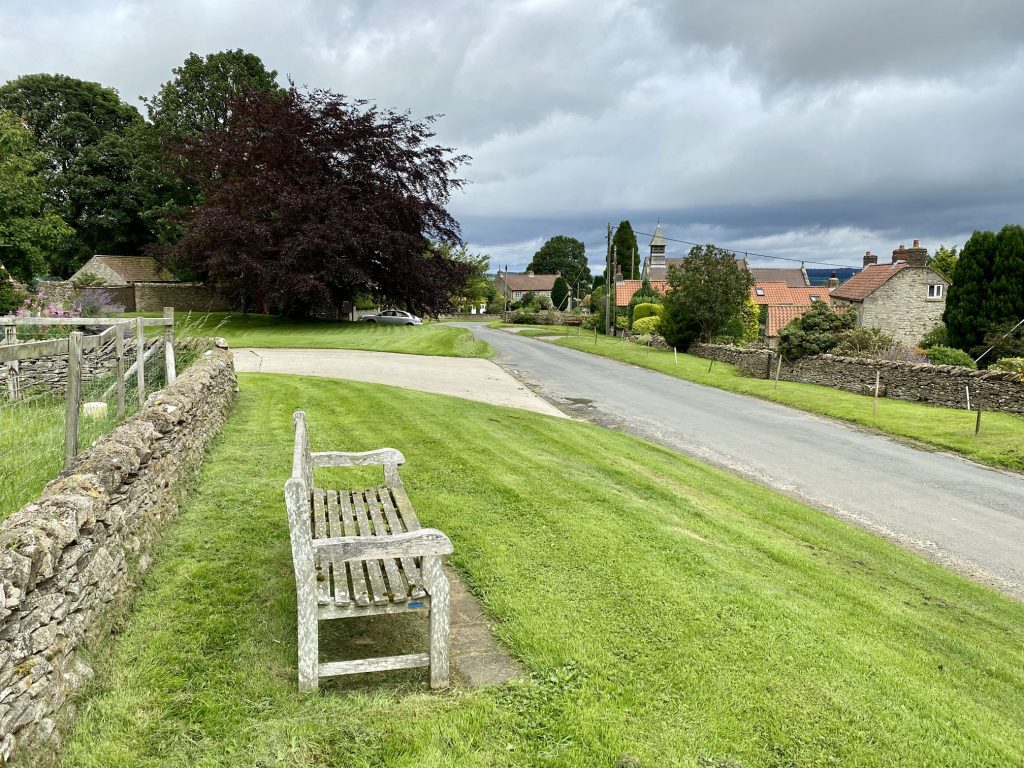
St Mary’s Church, Kilburn.
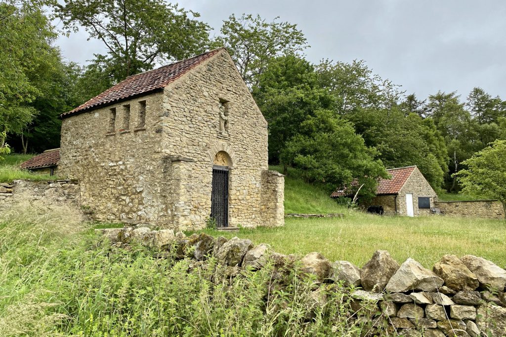
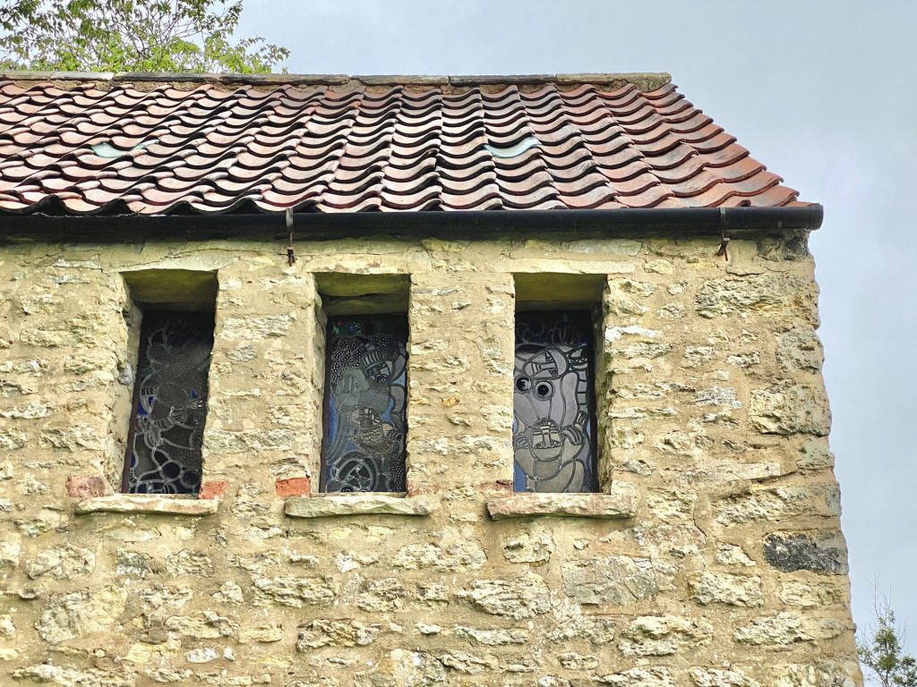
Small stone chapel at Scotch Corner, by the side of a track about ¾ mile north of Oldstead.
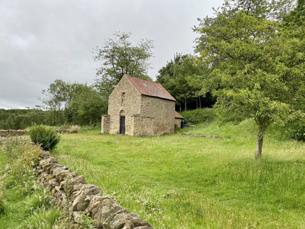
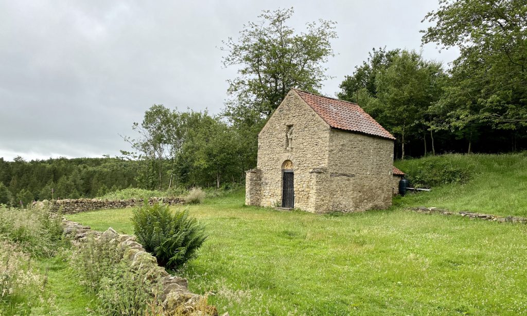
The chapel was built in 1957 by John Bunting, a master at nearby Ampleforth College, and honours former pupils who died in World War II.
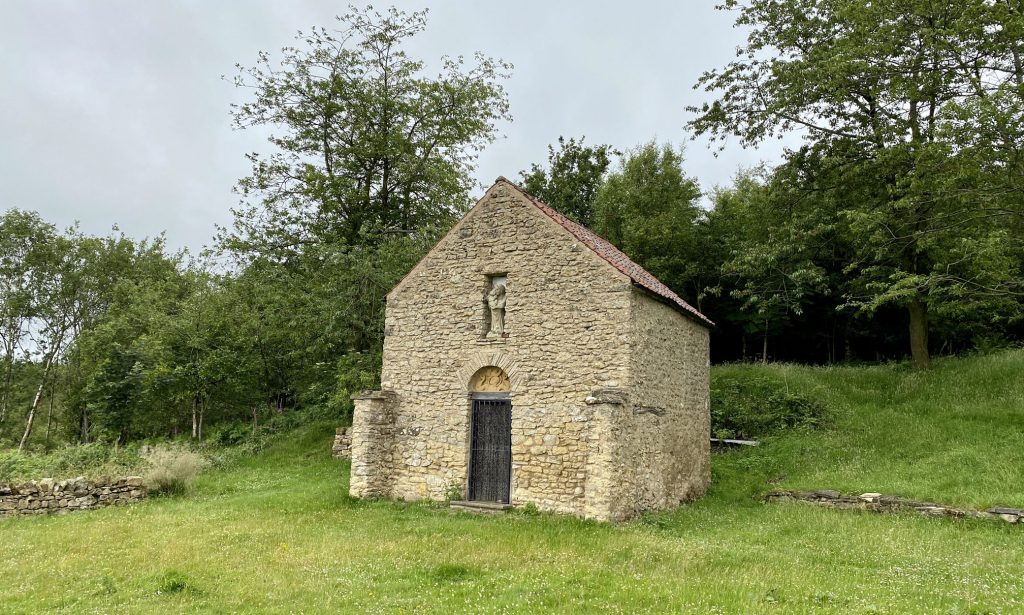
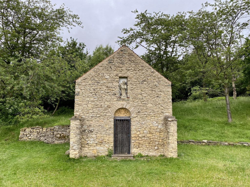
The building is managed by the Bunting family and contains some of Mr Bunting’s sculptures including a soldier in paratrooper’s helmet and commando boots.
The surrounding land was also the site of the Battle of Byland between the English and the Scots in 1322.
The view south from Scotch Corner over the Vale of York.
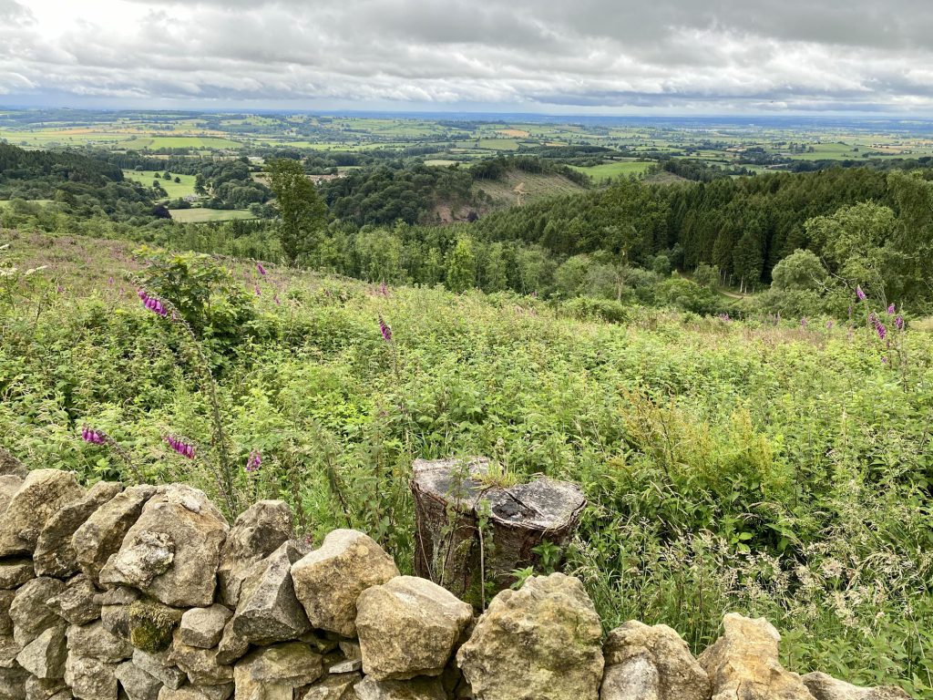
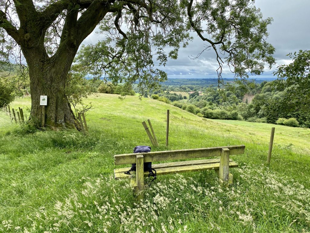
A convenient spot for a coffee just below Scotch Corner, with great views of the Yorkshire countryside.
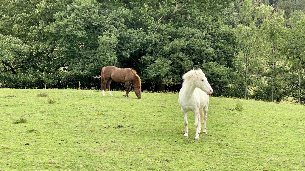
Horses on Cockerdale Farm, Oldstead.
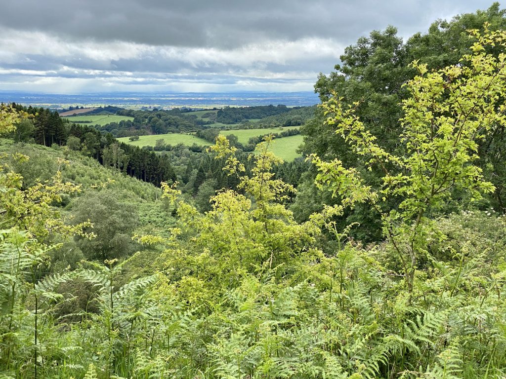
Looking south over the Vale of York from woodland near Cam House.
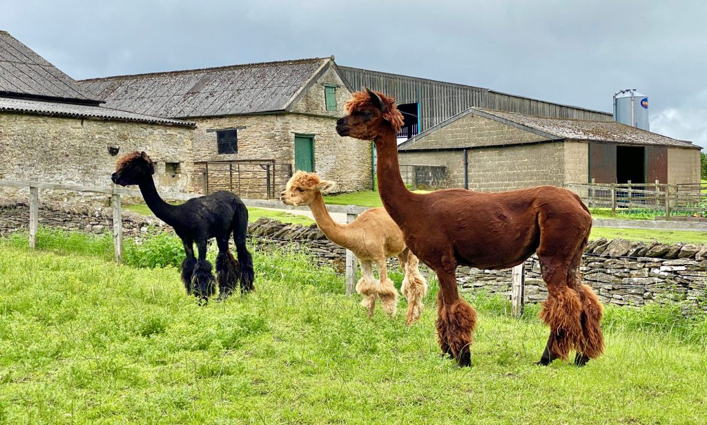
Llamas on a farm in the village of Scawton.
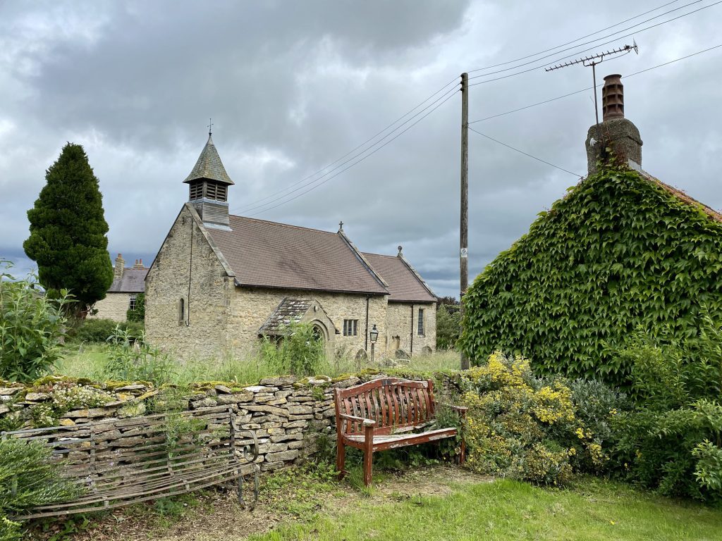
The village of Scawton.
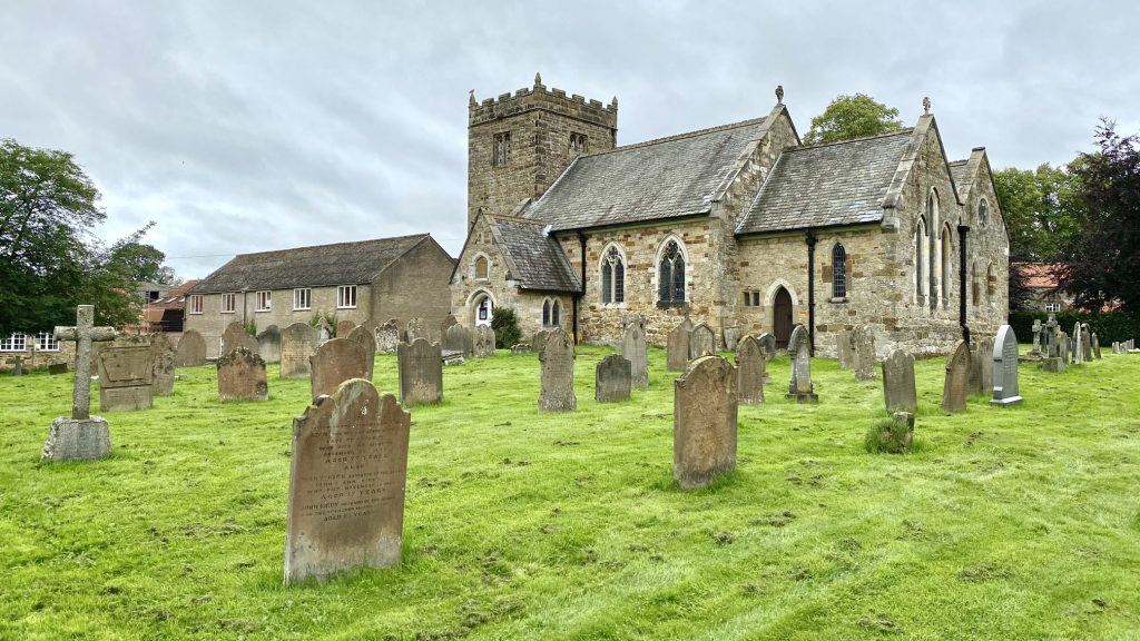
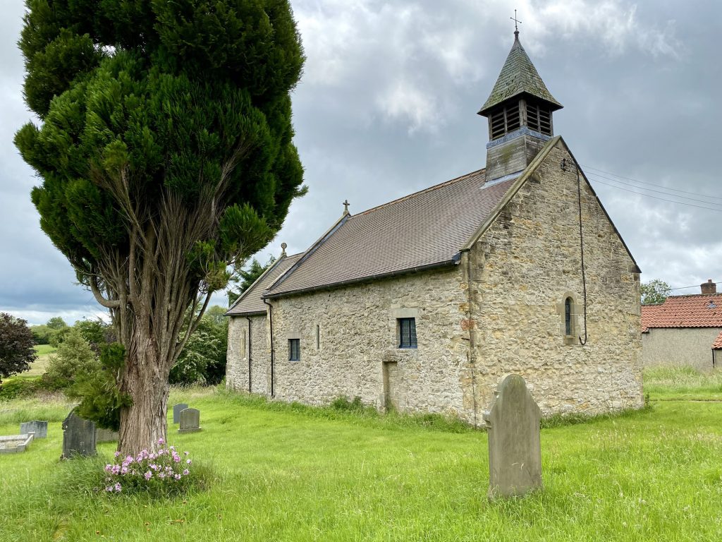
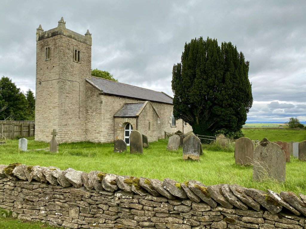
St Mary’s Church, Scawton.
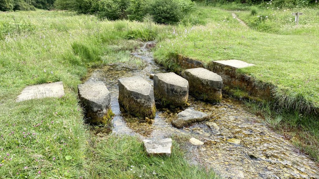
Stepping stones across a small stream near Callister Wood between Rievaulx and Cold Kirby, well known by walkers of the Cleveland Way.
St Michael’s Church, Cold Kirby.
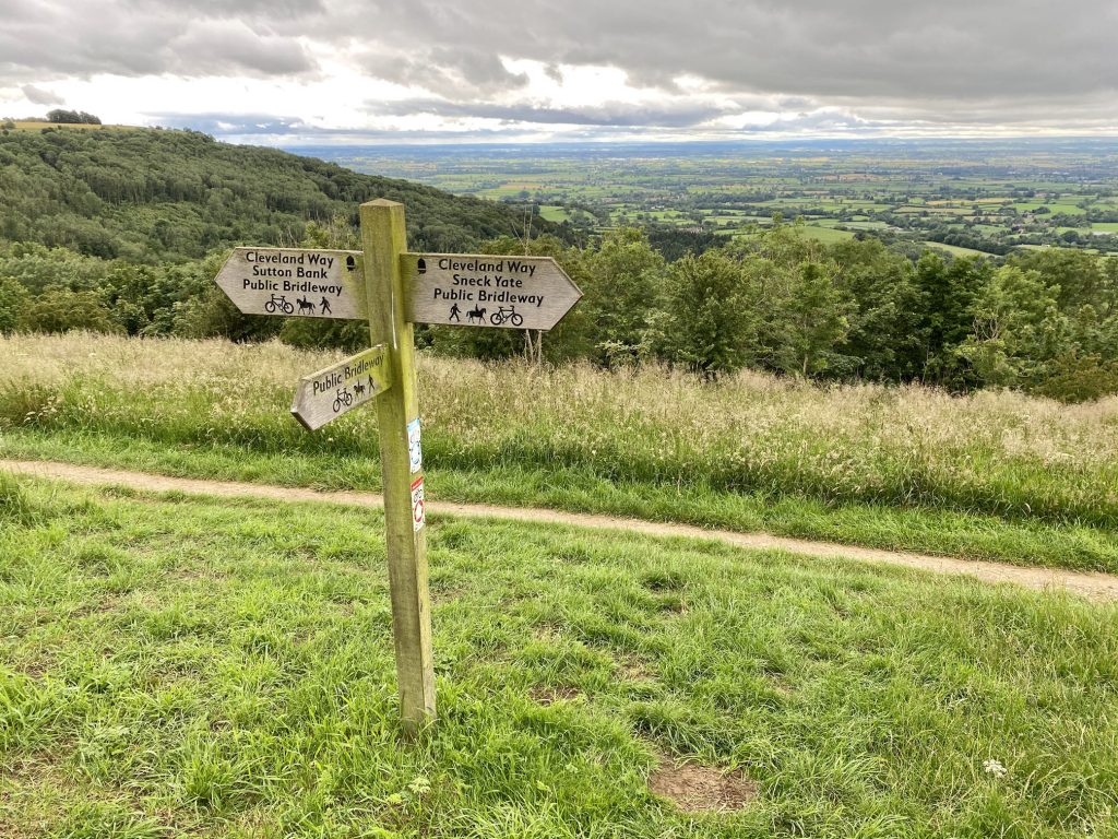
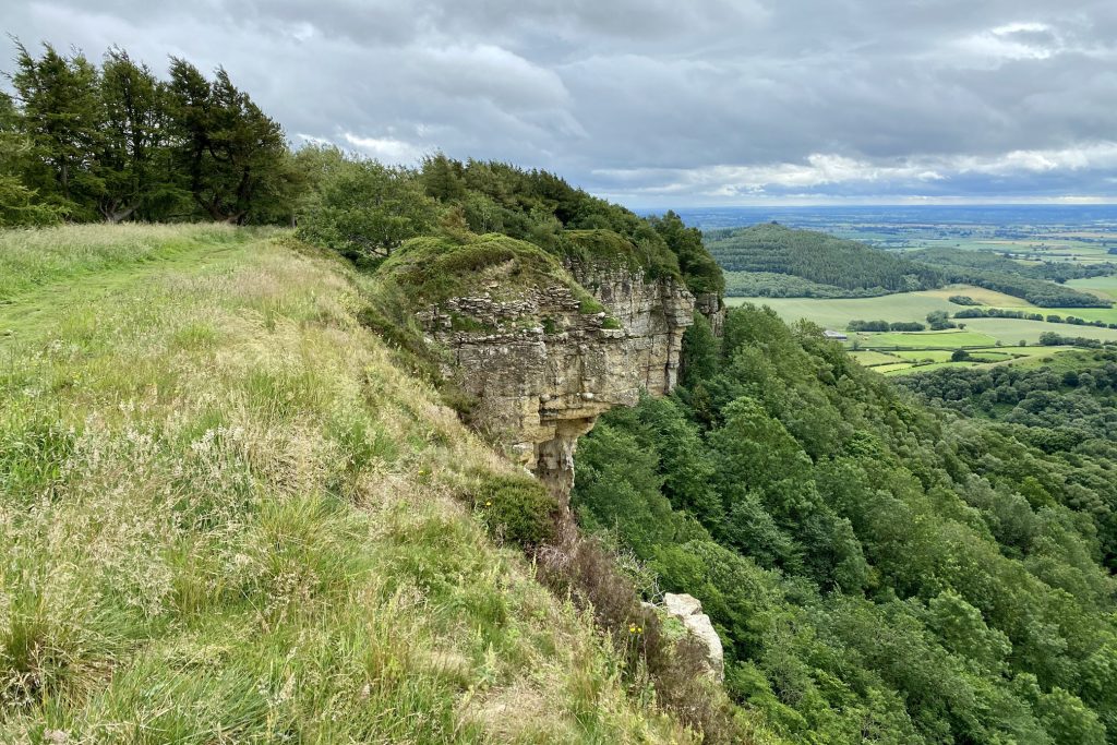
The Cleveland Way footpath between Sneck Yate and Sutton Bank.
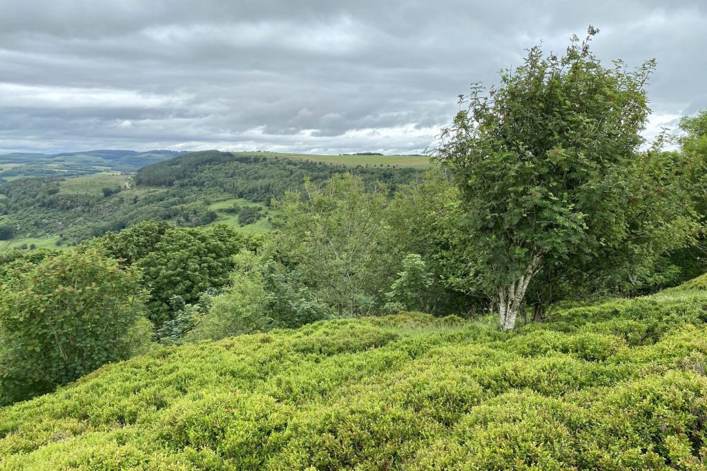
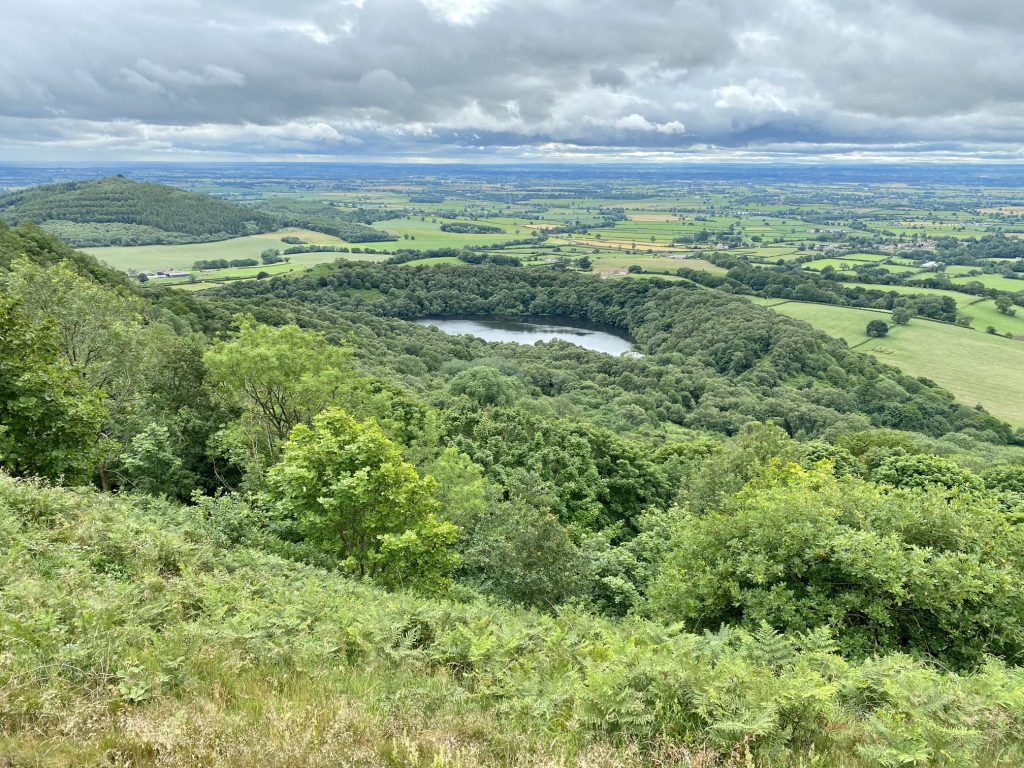
The view north over South Woods towards Boltby Scar.
The view north towards Boltby Scar. The village of Boltby is visible in the valley.

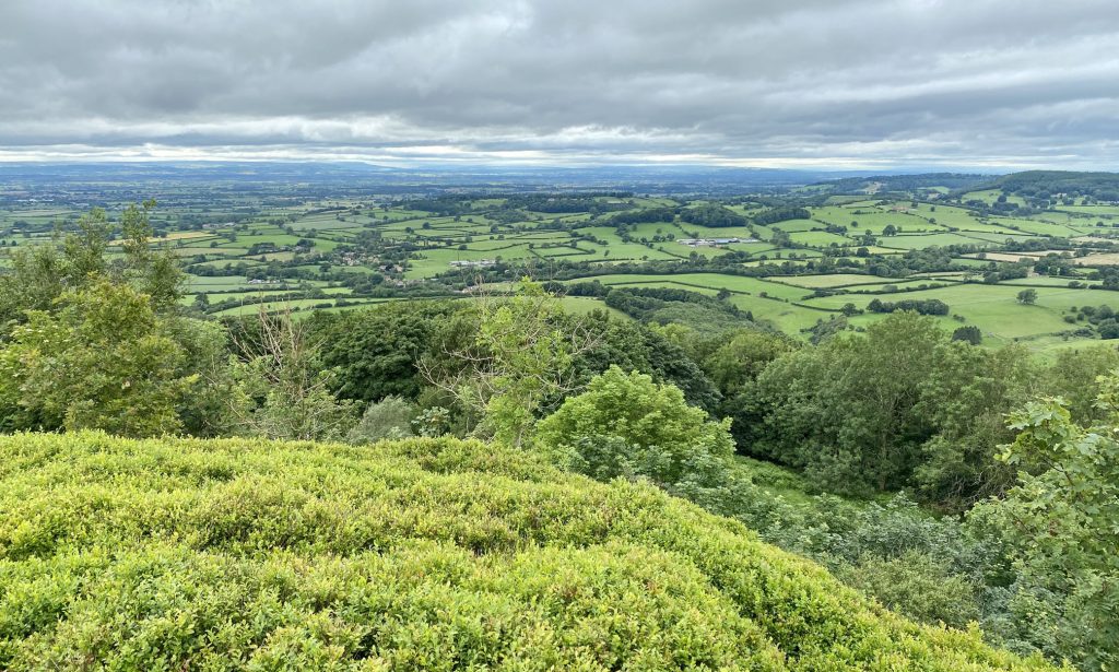
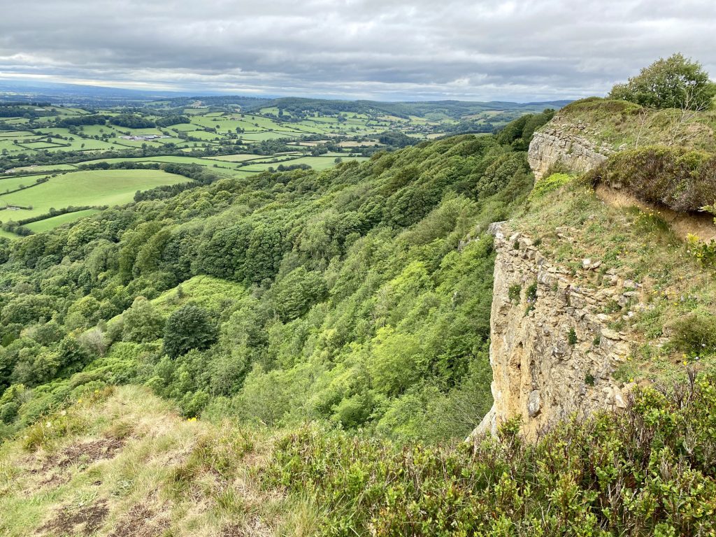
Superb uninterrupted views to the west across the Vale of Mowbray towards the Yorkshire Dales.
Looking down on Gormire Lake from Whitestone Cliff.
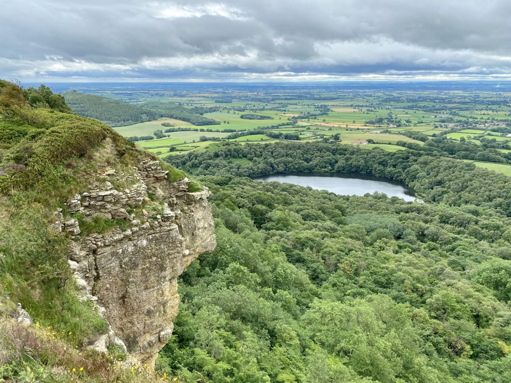
Whitestone Cliff, also called White Mare Crag.
Information board on the Cleveland Way above the White Horse of Kilburn hill figure.