ADVERTISEMENT
Crook Ness, Burniston and Scalby Along the Route of This Scarborough Walk
Start your Scarborough walk from Scarborough’s North Bay, parking in North Yorkshire Council’s Burniston Road car park. This large pay-and-display car park sits on the A165 Burniston Road in the Newlands area of Scarborough, alongside the Alpamare Water Park and the Premier Inn.
From the car park, follow the large signs towards North Bay Beach. The path runs along the left-hand side of the Alpamare Water Park, so keep the building on your right and continue straight ahead towards the sea. When you reach the miniature railway line, follow the path as it bears round to the left and walk alongside the track. Ahead of you stand the pyramid roofs of Sea Life Scarborough, which is where you are heading next.
Cross the miniature railway line and drop down to the promenade. Turn left and walk north towards Sea Life Scarborough, away from Scarborough town centre. Follow the promenade past the centre and carry on to The Old Scalby Mills, the pub and restaurant at the far end of the bay.
In front of The Old Scalby Mills, turn right across the footbridge and climb the steps up to the cliff top. The signs here point to the Cleveland Way, the England Coast Path and Ravenscar. At the top of the steps the path splits in two. Take the right-hand fork to stay on the route nearest the cliffs, which briefly leaves the Cleveland Way and England Coast Path. Follow it round and rejoin the main path a short distance later.
ADVERTISEMENT
From here the walking is simple. Follow the cliff-top path north for almost two miles, with the Cleveland Way and the King Charles III England Coast Path as your guide. The route is easy to follow and the sea stays on your right the whole way.
Eventually you reach Crook Ness, and this is where you turn inland and leave the Cleveland Way and the King Charles III England Coast Path behind. Descend the stone steps to a concrete path and turn left, signposted Burniston Village. Follow the path to a car parking area, then continue straight ahead along the tarmac lane towards Cliff Top House, a farm with boarding kennels and a cattery. The lane bends sharply left and becomes Field Lane.
Continue along Field Lane for about two-thirds of a mile until you reach a single-arched stone bridge. This carries the old Scarborough to Whitby railway line, now the Cinder Track. Go under the bridge, turn left, and use the wooden steps or the ramp to climb up onto the track. Turn right and start following the Cinder Track south towards Scalby and Scarborough, where a signpost confirms you are heading the right way.
Soon afterwards you meet the A165. Cross with care and turn left. This is roughly the halfway point of your Scarborough walk. Walk past Hawthorne Close, then turn right to rejoin the Cinder Track. Burniston Nurseries is on your left here, and makes a good stop for refreshments if it is open.
ADVERTISEMENT
Carry on south along the Cinder Track for just over a mile towards Scalby, where the track brings you to a housing estate. Turn left and follow Lancaster Way through the estate, then turn left again at the T-junction onto Field Close Road. At the main road, Station Road, turn right and then immediately left onto Chichester Close. At the end of the close you rejoin the Cinder Track and head south once more.
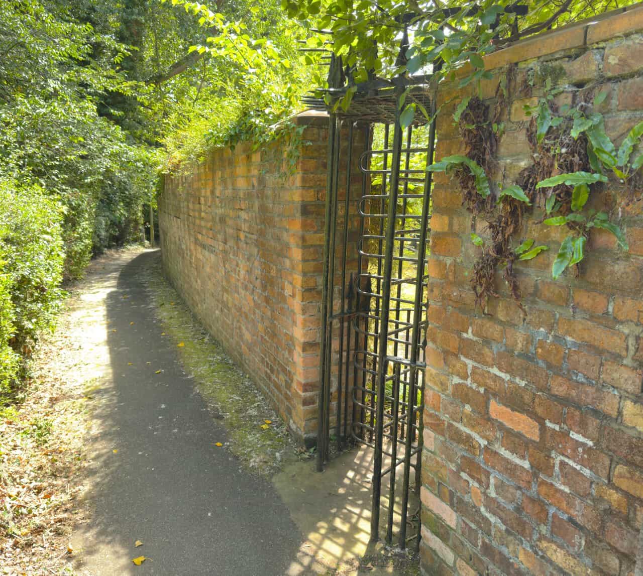
Follow the track for about a mile towards Scarborough until you pass the wide grassy expanse of the playing fields called Gallows Field. Walk through, and as you leave turn left, following the path all the way round the perimeter of the cemetery with the graves on your right. You pass a brick wall with a large wrought-iron gate set into it, and shortly after that the path drops down a flight of steps. Just before the steps begin to climb again, turn left into Peasholm Glen.
Turn left once more and follow the path down to the lily pond, then keep to the main path, known as the Tree Trail, all the way down through Peasholm Park. The route traces the little stream that runs the length of the valley. After about a third of a mile you reach the ornamental ponds, and soon after that the main boating lake.
Keeping left, walk right round the lake, following the signs for Lakeside Walk and North Bay Beach. Leave Peasholm Park and follow the A165 on your left, signposted Alpamare Water Park and Sea Life Centre, to return to the car park and finish your Scarborough walk.
Scarborough Walk: Maps and Tools
Visit either the OS Maps website or the Outdooractive website to view this walking route in greater detail. Both platforms offer a range of features, including the ability to print the route, download it to your device, and export the route as a GPX file. You can also watch a 3D fly-over and share the route on social media. Additionally, this page includes a printable version of the walk in PDF format. Plus there is a supporting video, available for you to watch on YouTube.
Scarborough Walk: Distance, Duration, Statistics
Distance: 8¼ miles
Distance: 13¼ kilometres
Duration: 3¾ hours
Ascent: 571 feet
Ascent: 174 metres
Type: Circular walk
ADVERTISEMENT
Recommended Ordnance Survey Map
The best map to use on this walk is the Ordnance Survey map of the North York Moors Eastern Area, reference OS Explorer OL27, scale 1:25,000. It clearly displays footpaths, rights of way, open access land and vegetation on the ground, making it ideal for walking, running and hiking. The map can be purchased from Amazon in either a standard, paper version or a weatherproof, laminated version, as shown below.
North York Moors Walking Guidebooks
North York Moors Pathfinder Walking Guide, by Brian Conduit and Dennis Kelsall, describes 28 circular walks of 3 to 11 miles from the coast at Whitby to the Cleveland Hills, graded by length and difficulty, with OS Explorer map extracts, GPS waypoints and parking information for every route.
100 Walks in Yorkshire: North York Moors and Wolds, by Gary Richardson, offers routes of up to 10 miles to suit all abilities, with easy-to-follow directions, Ordnance Survey route maps, and details of parking and places to eat and drink. Both books can be purchased from Amazon, as shown below.
North York Moors Pathfinder
About Scarborough
Scarborough is the largest town on the Yorkshire Coast, and with a population of around 61,700 it is the fourth-largest settlement in North Yorkshire. The town sits between 10 and 230 feet above sea level, rising steeply north and west from the harbour towards limestone cliffs, and the older part shelters behind a rocky headland that reaches out into the North Sea. That headland is the town’s defining feature. The Cleveland Way runs right through Scarborough on its way along the coast, and this Scarborough walk follows it for the first two miles.
The name comes from the Danes, and the town is said to have been founded around 966 AD by a Viking raider called Thorgils Skarthi, whose nickname meant hare-lip. Skarthi’s burh became Scarborough, though there is no archaeological evidence for the story, which was put forward in the 1960s and rests on a fragment of an Icelandic saga. Long before that, a Roman signal station stood on the headland in the fourth century, one of a chain built to warn of raiders from the sea, and there is evidence of settlement here in the Stone Age and Bronze Age.
The town recovered under Henry II, who built a stone castle on the headland and granted charters in 1155 and 1163. A royal charter of 1253 allowed Scarborough Fair, a six-week trading festival that drew merchants from across Europe and ran from mid-August to the end of September. It continued for 500 years and is remembered in the song. The town and its castle changed hands seven times during the Civil War of the 1640s, and much of Scarborough lay in ruins afterwards.
Related Walk: Similar to the Scarborough Walk
Following the Cloughton Wyke walk along the North Yorkshire Coast
Its second life began by accident. In 1626, Mrs Thomasin Farrer found a stream of acidic water running from a cliff south of the town, which led to the founding of Scarborough Spa. A book on the spa waters published in 1660 brought a flood of visitors, and Scarborough became Britain’s first seaside resort, although bathing machines were not seen on the sands until 1735. The railway from York arrived in 1845 and the visitors came in ever greater numbers, drawn to the same coastline this Scarborough walk explores. The town was shelled by German warships in 1914, an attack that shocked the country, and badly damaged again by a Luftwaffe raid in March 1941.
The headland divides the seafront into two bays. The South Bay holds the medieval settlement and harbour and remains the busiest tourist area, while the North Bay has traditionally been the quieter end of the resort. This Scarborough walk starts and finishes on the North Bay side, well away from the arcades and the crowds. The North Bay is home to Peasholm Park, restored to its Japanese-themed glory in 2007 with a rebuilt pagoda and a new boat house added in 2018, where a mock naval battle based on the Battle of the River Plate has long been re-enacted on the boating lake through the summer season.
Next door, Northstead Manor Gardens hold the North Bay Railway, a boating lake, the open air theatre and a water chute that is now Grade II listed and one of the oldest surviving in Britain. The miniature railway runs from near Peasholm Park through the gardens to the Sea Life Centre at Scalby Mills, and is believed to operate the oldest working diesel-hydraulic locomotive in the world, Neptune, built by Hudswell Clarke of Leeds in 1931. One last piece of geography ties the route together: the Sea Cut, the channel leading from the River Derwent to the sea, reaches the coast at Scalby Mills, and is the beck you cross at the foot of the cliff steps.
Scarborough Walk: My Photos
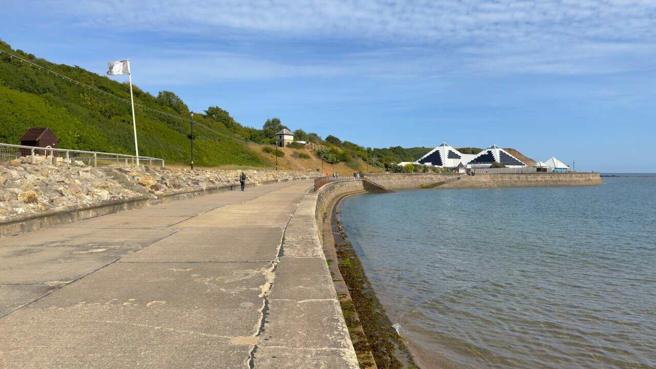
My Scarborough walk begins properly here, dropping down from the miniature railway to the promenade at North Bay. The path curves ahead along the sea wall, and in the distance the three white pyramids of Sea Life Scarborough mark the direction of travel. On a morning like this, with the tide up against the wall and barely a breath of wind, it is a fine way to start.
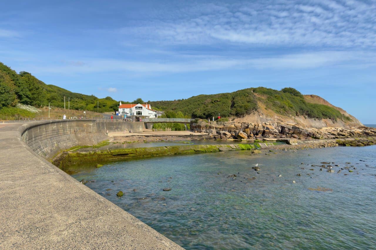
A little further along, The Old Scalby Mills comes into view at the far end of the bay. The whitewashed building with its orange pantile roof began life as a seventeenth-century water mill and is now built into the sea wall, standing right where Scalby Beck meets the sea. The footbridge in front of it leads to the steps up onto the cliffs, and the rocks and shallow pools below are worth a look if the tide is out.
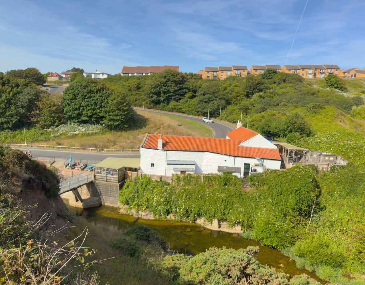
Climbing the steps behind the pub, I turn for a look back down at Scalby Mills. From up here I can see how neatly the old mill building is tucked into the valley, with the beck running out beneath the footbridge and the coast road curling round above it. The houses on the skyline are the last of Scarborough before the open cliffs begin.
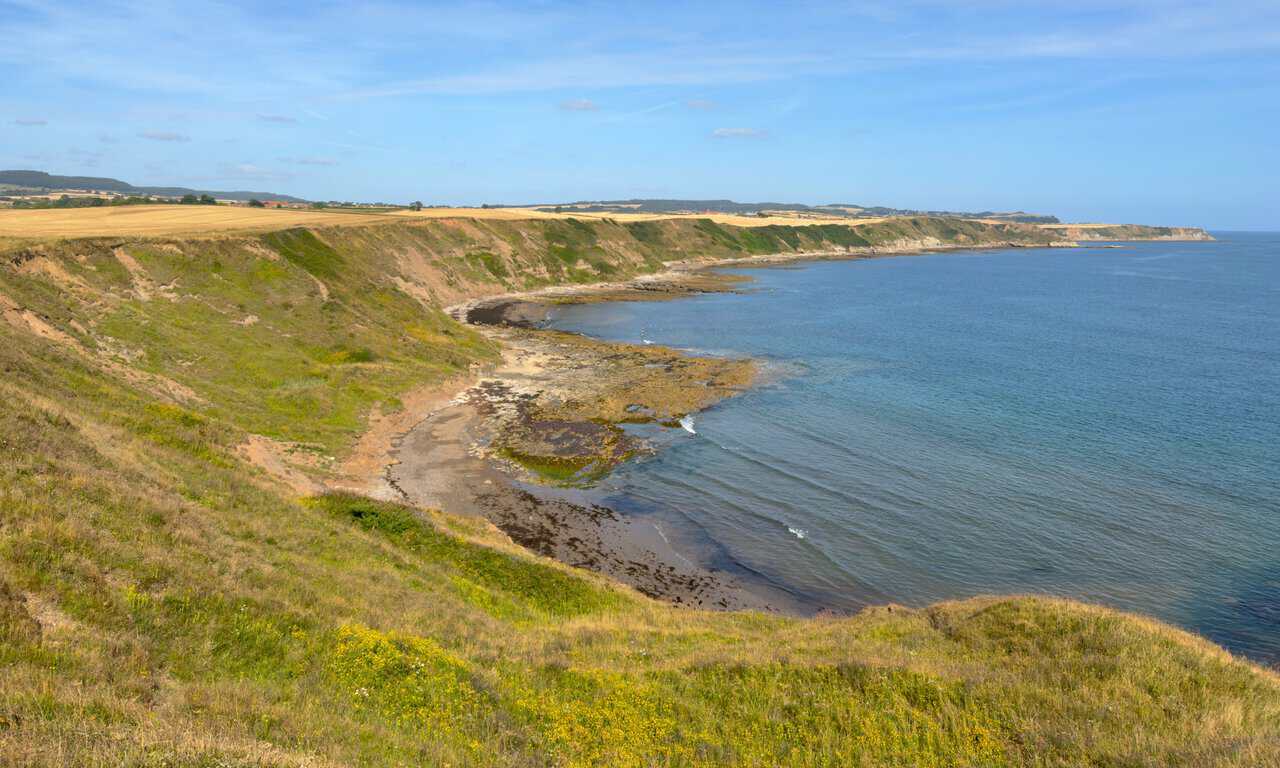
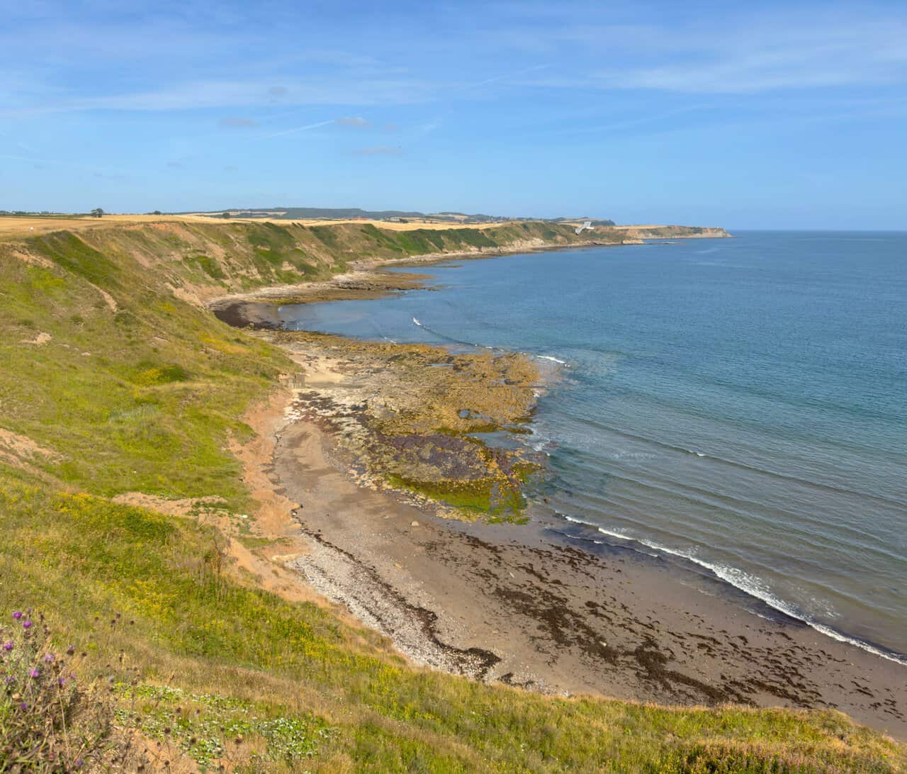
At the top of the steps come the first views north, down towards Scalby Ness Sands. The cliffs run away in a long shallow curve, with ribs of rock reaching out into the water and stubble fields spread right to the edge above. It is a completely different landscape from the promenade I left ten minutes earlier.
This is a fantastic start to the cliff-top section of my Scarborough walk. The path keeps close to the edge, the sea stays a clear blue-green all the way out to the horizon, and thistles and ragwort line the grass beside the track. There are almost two miles of this ahead before the route turns inland at Crook Ness.
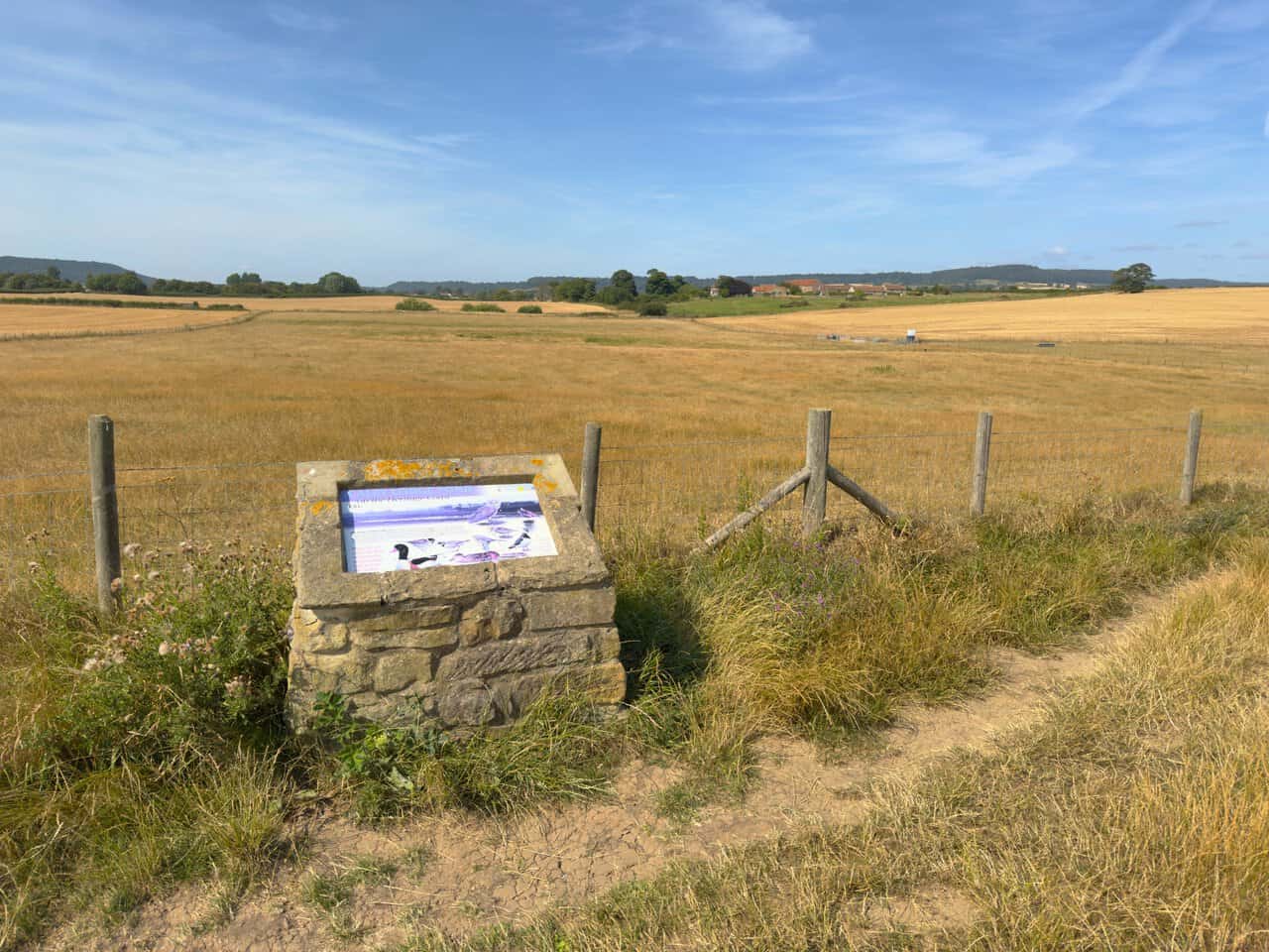
A stone plinth beside the fence marks Scalby Lodge Pond, though the pond itself stays hidden behind the rise of the field. The board explains that the ponds of Scalby Lodge Farm are an important breeding habitat, increasingly rare on this coast, and act as a magnet for migrating wildfowl and waders. Hundreds of duck, mostly wigeon and teal, winter here, and the illustrations name shelduck, lapwing, dunlin, ringed plover and barn owl among the regulars.
The Cleveland Way runs for 109 miles from Helmsley to Filey, curving across the North York Moors before turning south along this coast, and I am on its final stretch here. It opened in 1969 as only the second National Trail in England and Wales, after the Pennine Way. After the climb at Scalby Mills the walking is about as easy as a national trail gets, with a firm, level path threading between stubble fields and cliff edge, and waymarking good enough that there is little to do but keep the sea on the right.
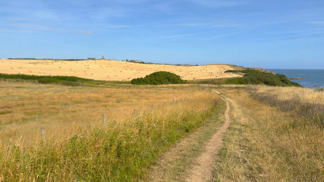
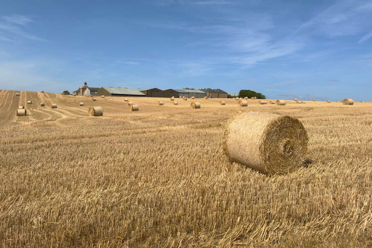
The buildings on the skyline look every inch a working farm, with the bell tower and long sheds set above a field of round bales. It turns out they are the sewage works, which is not quite what I expected from a view this pleasant. The harvest scene in front of them more than makes up for it.
This part of the path carries two routes at once. The King Charles III England Coast Path was renamed in 2023 to mark the coronation and opened along its full length in the spring of 2026, running some 2,700 miles around the whole English coastline and making it the longest managed coastal walking route in the world. Along this stretch it shares its way with the Cleveland Way, so a single track through the grass does duty for both.
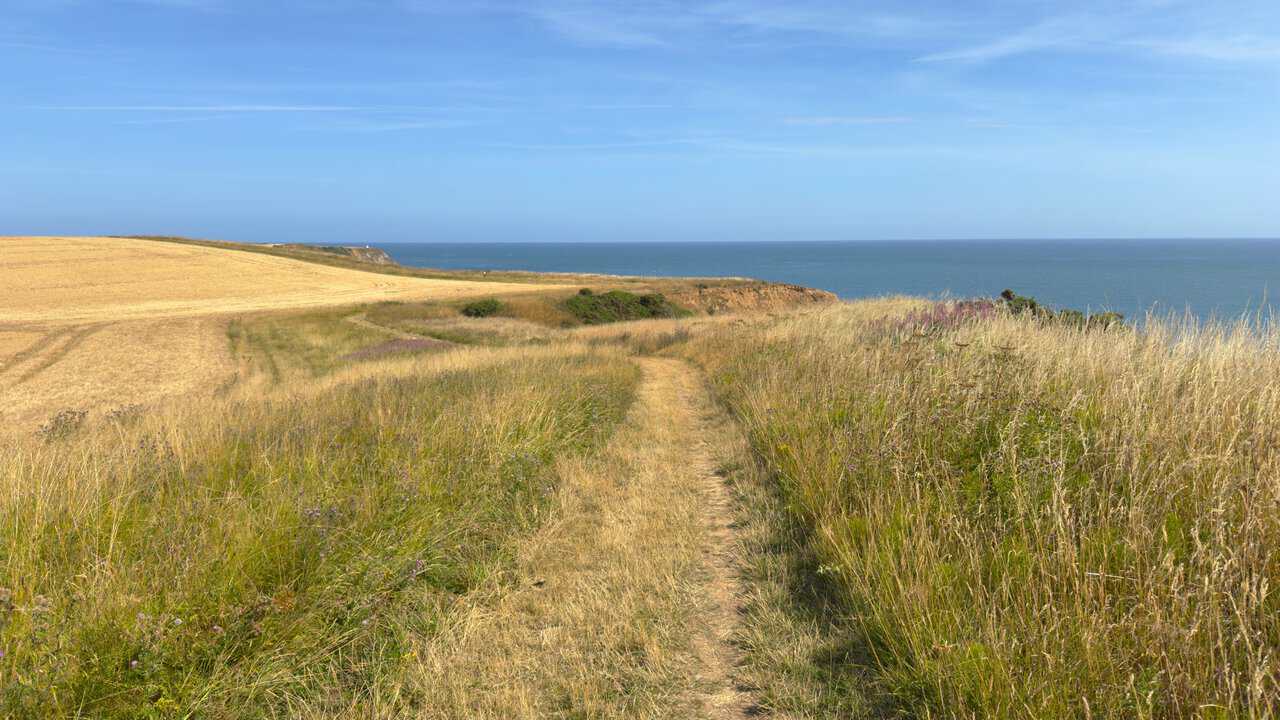
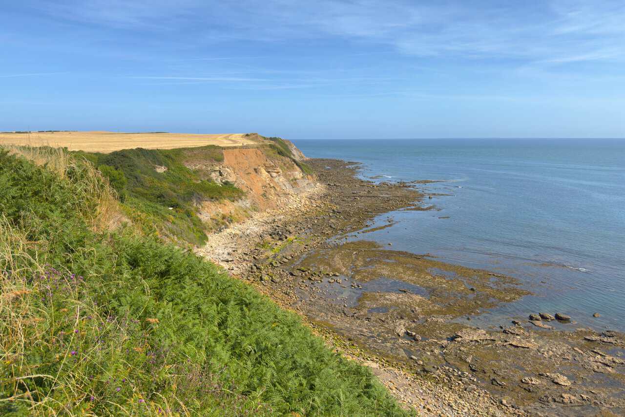
Drawing near to Crook Ness, the cliffs show their layers where the face has slipped away, orange and grey above a wide rocky shore. Bracken and thistles crowd the path edge, and the tide is far enough out to expose the ledges and pools below. This corner of the coast is known for its fossils, and dinosaur footprints have been found in the rocks around Burniston.
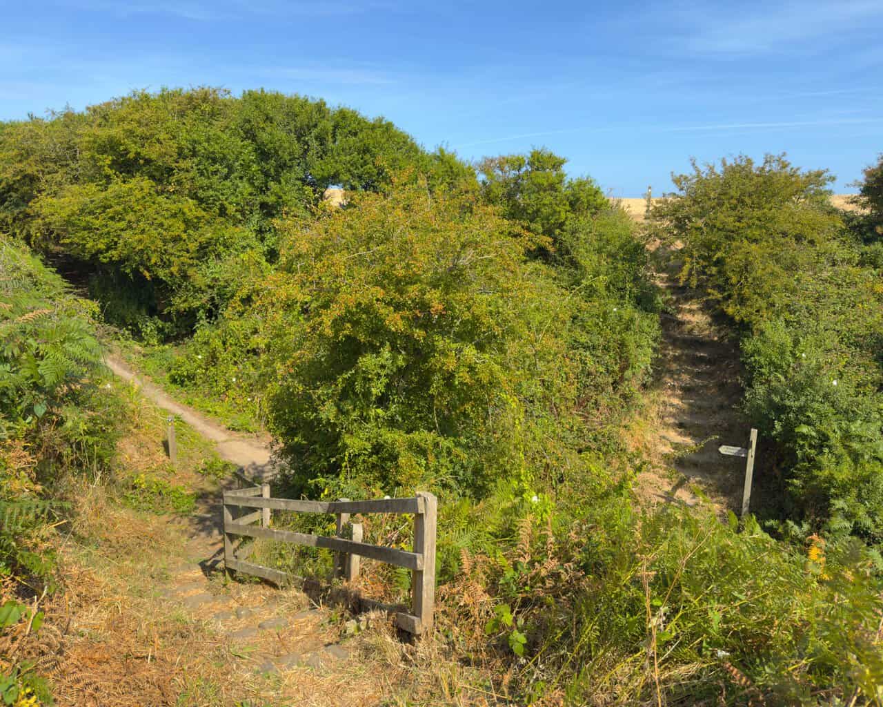
At Crook Ness I drop down the steps to the concrete path, where a signpost points inland towards Burniston Village. A wooden fence and a flight of worn steps mark the parting of the ways, with the coast path carrying on north and my route heading up between the hawthorns. The hedges here are heavy with early berries.
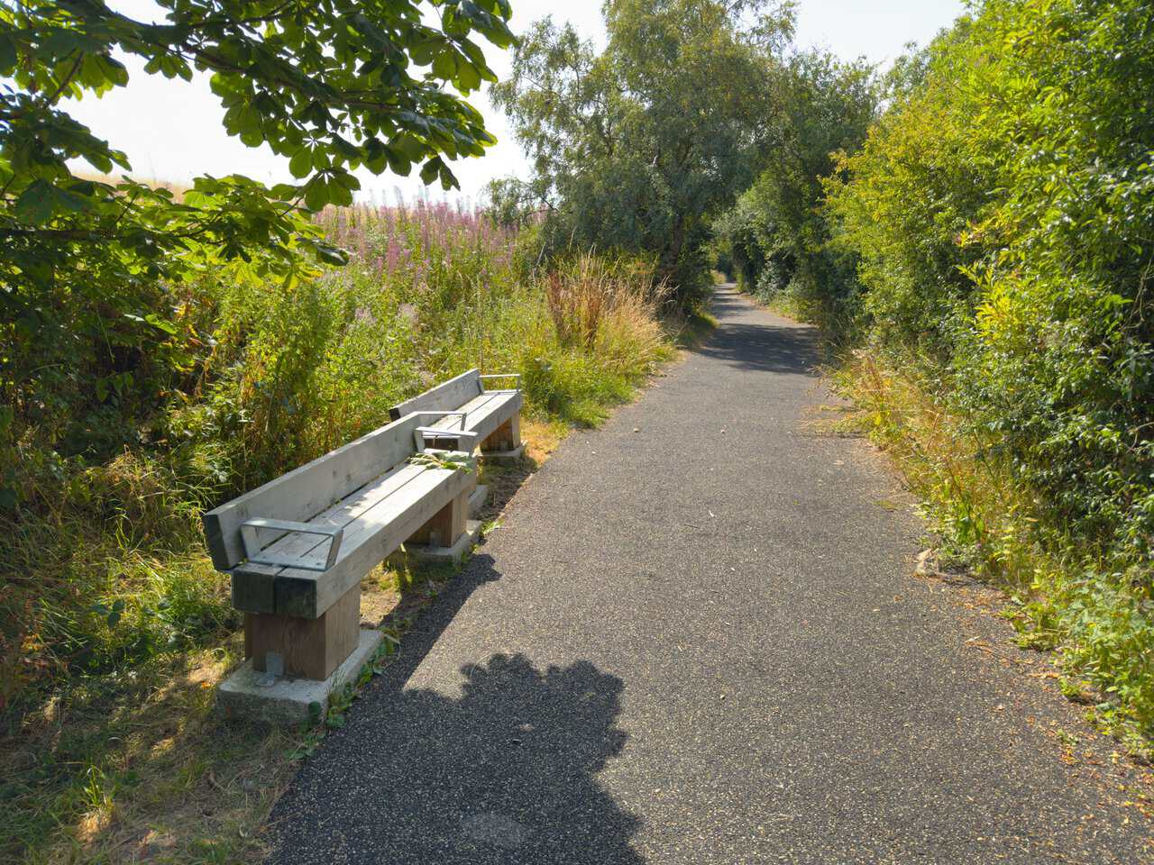
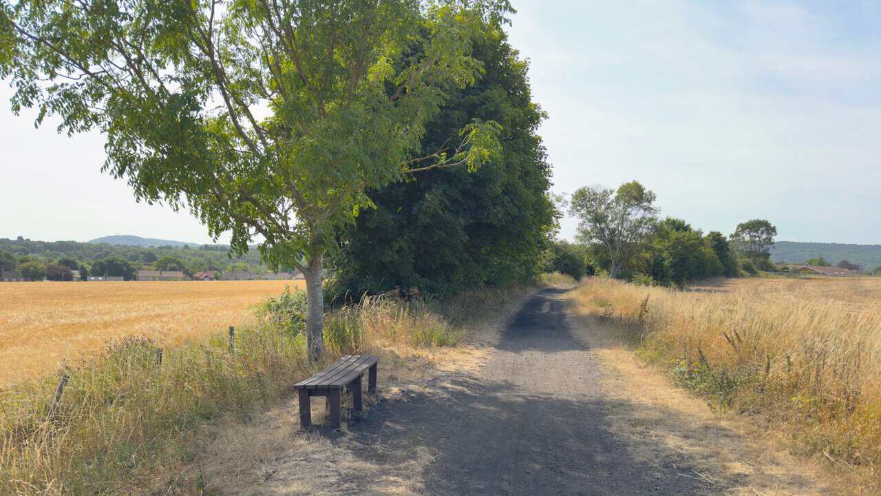
From Crook Ness I follow Field Lane to join the Cinder Track and begin the journey south. The surface changes completely, from a narrow trod through cliff-top grass to a smooth tarmac path lined with rosebay willowherb, and there are benches at intervals for anyone who wants to sit a while. After the open coast, the shade of the trees is welcome.
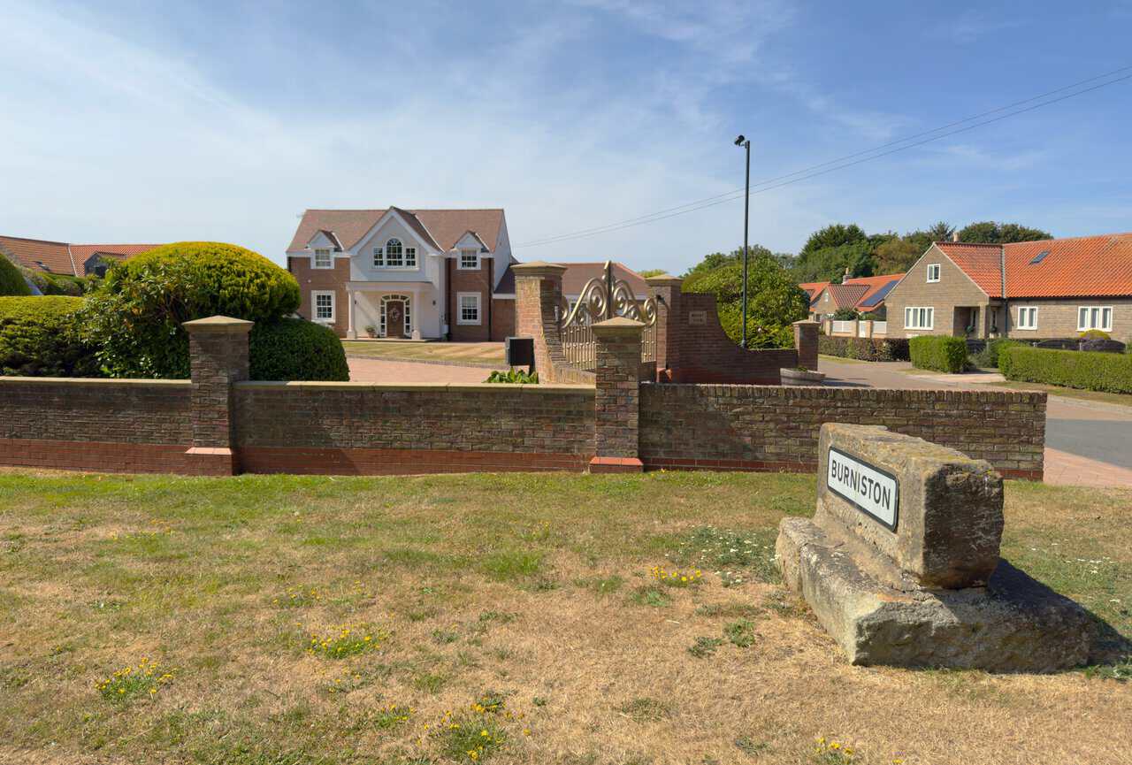
Crossing the A165 at Burniston, I pass a splendid house called Mount View standing behind its brick wall and wrought-iron gates. The village sign sits on a weathered block of stone at the roadside, welcoming drivers into Burniston. A short stretch of road walking is all it takes before the Cinder Track picks up again.
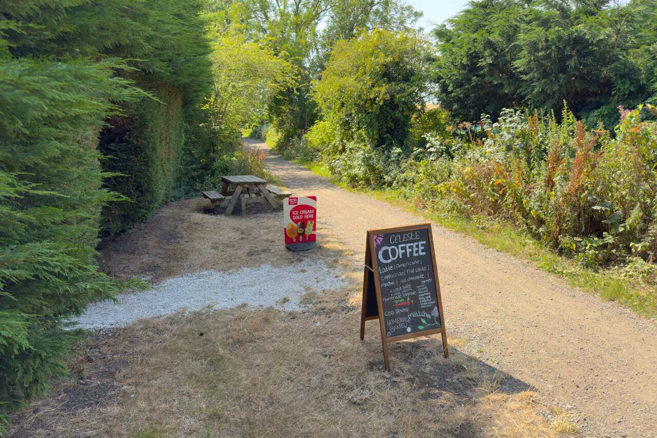
I stop for a coffee at Burniston Nurseries, an independent family-run garden centre right beside the track. The blackboard offers the full range, from flat whites and iced mochas to homemade lemonade and cakes, with a picnic table set out under the hedge. It opens Monday to Saturday from 9 to 5 and Sunday from 10 to 4, though it is always worth checking before setting off.
The Cinder Track carries me along the old Scarborough to Whitby railway, which opened in 1885 and closed in 1965, and takes its name from the cinders the line was laid on rather than the usual crushed stone. Today it runs for more than 21 miles between the two towns, passing eight former station stops on the way. For this part of my Scarborough walk it makes an easy, level route between the barley fields, with the moors rising in the distance.
After the Cinder Track, the route follows the path alongside Manor Road Cemetery, where a brick wall runs beside part of the way. Set into it is an old wrought-iron rotating gate, ferns growing out of the brickwork above. The shade here is a pleasant change after miles of open track.
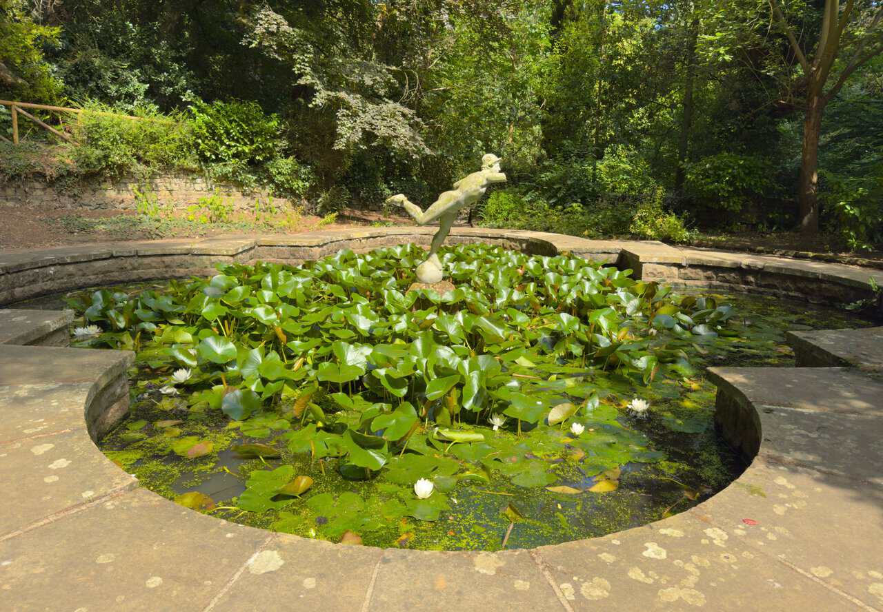
I drop down into Peasholm Glen and follow the path to the lily pond, where a weathered figure stands poised above a raft of lily pads and white flowers. The glen is the quieter, wilder end of the park, and it holds some rare champion trees, listed on the National Tree Register as the tallest or best known of their kind in Britain. Squirrels and small birds are everywhere in the shade.
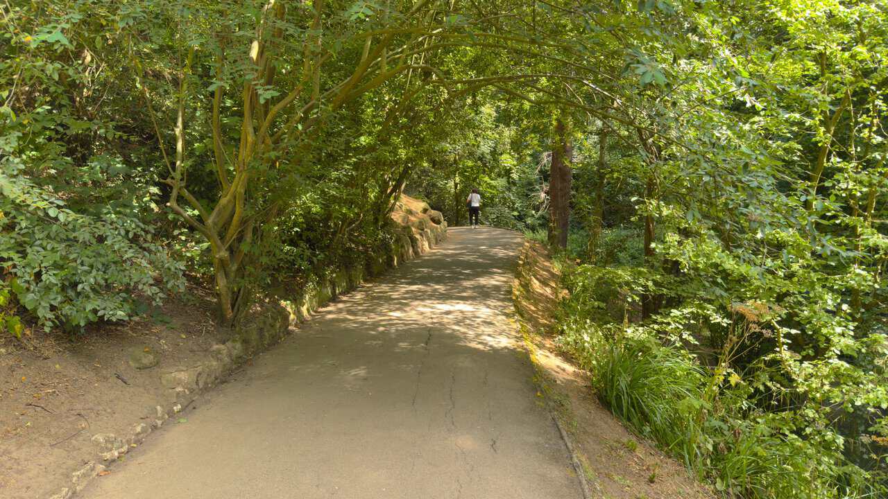
From the lily pond the Tree Trail leads down through the glen, a broad path curving between banked-up trees and outcrops of sandstone. Peasholm Park first opened in 1912 and has been a favourite with visitors to Scarborough ever since. Even on a warm afternoon the glen stays cool and green.
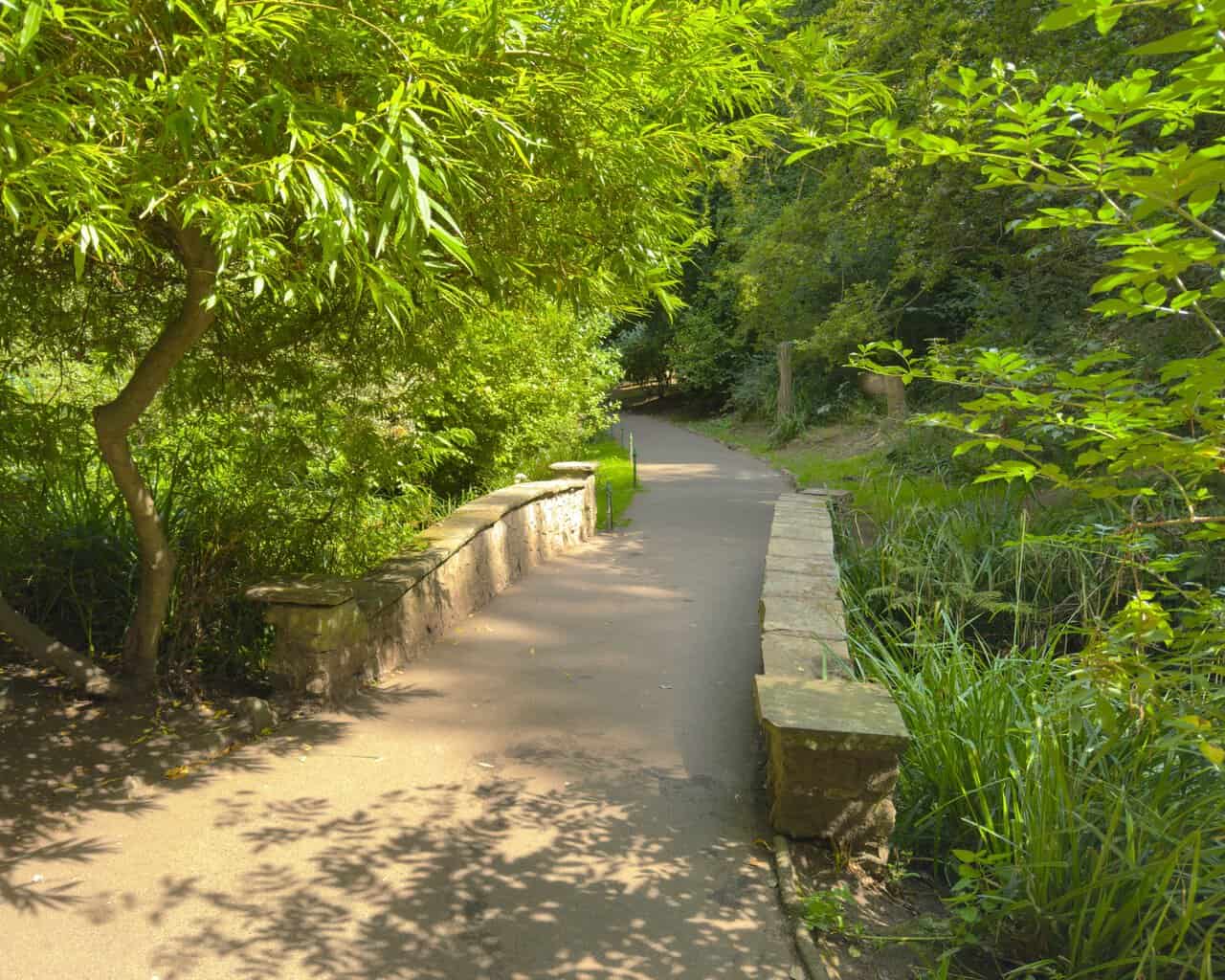
The path crosses and recrosses the stream that runs the length of the valley. This little stone bridge, with its rounded parapet and single arch, is one of several on the way down. Above it the water spills through a series of waterfalls and cascades before settling into quieter pools.
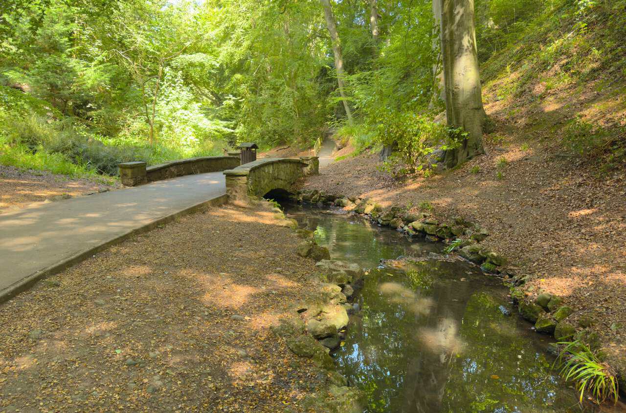
Another low stone bridge carries the path over the stream, with willows leaning across from the bank. It is a shady, unhurried stretch of my Scarborough walk, and a reminder that the glen is a genuine slice of nature in the middle of a busy seaside town.
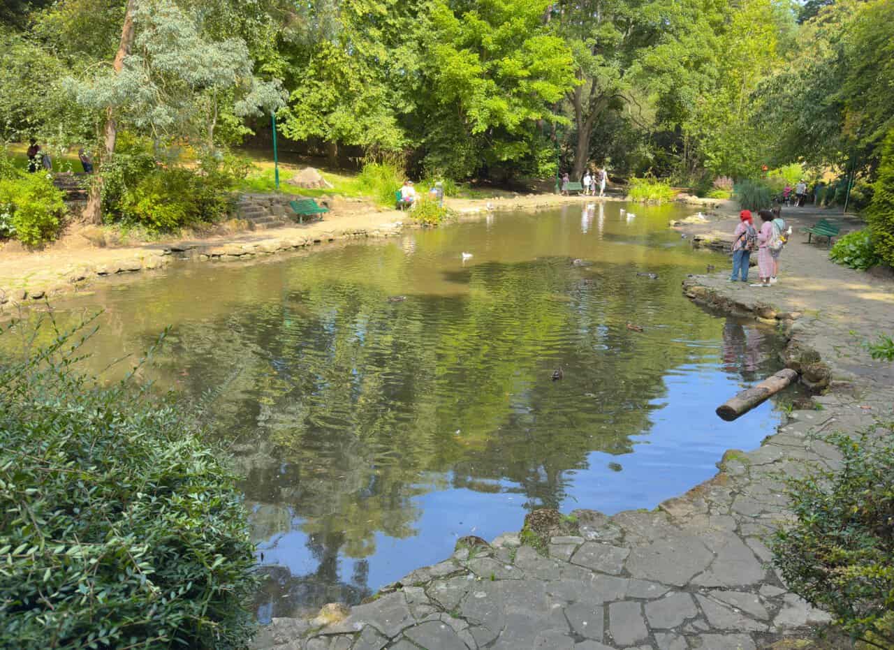
Lower down I reach the ornamental ponds, wide and shallow, with ducks and gulls and a few families stopping to watch them. Benches are set out along the edge and the flagged paths make an easy circuit. From here it is only a short way to the main lake.
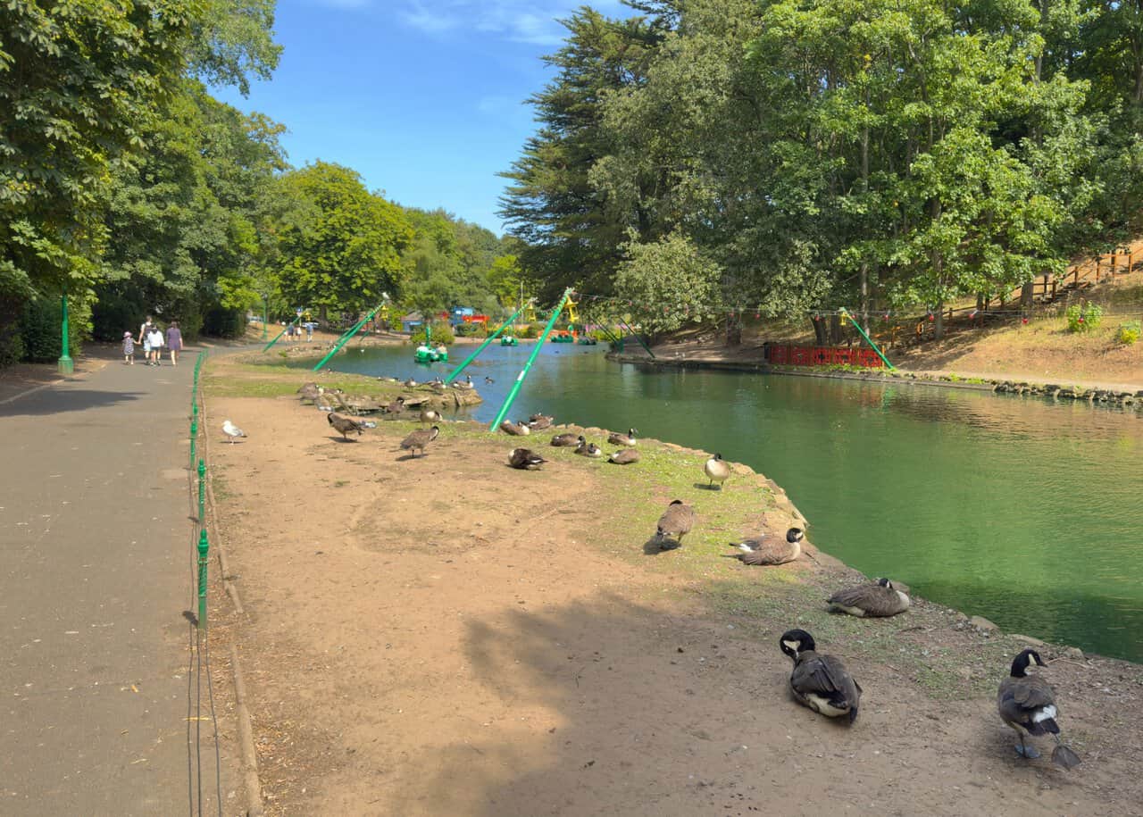
The path opens out at the boating lake, where Canada geese doze on the bank and pedalos cross the water. The bandstand sits on the island in the middle, used for concerts, brass bands and organ recitals, and twice a week in summer the lake hosts the famous naval battle. Following the signs for the Lakeside Walk brings me round to the exit, and a short walk up the road closes my Scarborough walk.