ADVERTISEMENT
Following the Cleveland Way and the Cinder Track on This Whitby Walk
Begin your Whitby walk at the Station Car Park in Robin Hood’s Bay, a long-stay pay and display car park with toilets, and an overflow car park if the main one is full. From the car park, head back towards the B1447 main road, where you will find the Grosvenor Hotel directly in front of you. Turn left, then immediately right onto Mount Pleasant North, where you will start to see signs for the Cinder Track, the Cleveland Way and the Coast to Coast Path.
Walk to the top of Mount Pleasant North and keep to the road as it bears around to the left, following the signs for the Cleveland Way and the Cinder Track throughout. Turn right onto the gravel path signposted for the Cleveland Way, the Coast to Coast Path and the Cinder Track to Hawsker and Whitby. Soon afterwards the route splits in two. Take the right-hand fork for the Cleveland Way and Coast to Coast Path public footpath to Hawsker and Whitby, and avoid the left-hand fork, which is the Cinder Track that you will return along later.
From here, simply follow the footpath signed as the Cleveland Way public footpath. A signpost here also indicates Whitby, six miles away. This stretch of the Cleveland Way forms part of the King Charles III England Coast Path, as shown on OS Maps. The path is clear, straightforward and easy to navigate. After one and a third miles you reach a small valley called Rain Dale. Follow the path down into the shallow valley, then climb the steps up the other side. Beyond Rain Dale you will notice the cliffs become noticeably higher.
ADVERTISEMENT
Carry on along the clifftop for a further one and a quarter miles to reach Oakham Wood, set in a small valley formed by Oakham Beck. Ignore any paths leading inland to the left, such as those to Hawsker or Northcliffe Holiday Park. Instead, drop down into the small valley and climb back out the other side using the steps, still following the Cleveland Way to Whitby. Another two and a third miles brings you to Whitby Lighthouse on Ling Hill.
After the lighthouse, turn right and continue on the Cleveland Way to reach the Whitby Fog Signal shortly afterwards. Carry on across the top of the cliffs for just over a mile to reach Whitby Holiday Park at Saltwick Bay. Walk all the way through the holiday park, following the footpath to Whitby, then continue on to Whitby Abbey. Make your way past the abbey and St Mary’s Church, then down Whitby’s 199 Steps.
At the bottom of the steps, follow the cobbled Church Street all the way through Whitby’s old town, between the shops, cafés and restaurants. When you reach the main road, Bridge Street, turn right and walk across Whitby Bridge. Turn left and follow New Quay Road to the mini roundabout, then turn left again onto Langborne Road, signposted to Endeavour Wharf. Continue straight ahead along Langborne Road towards Whitby Marina, passing the supermarket on your right, then carry on through all the car parking areas with the River Esk on your left.
ADVERTISEMENT
Eventually the road comes to an end at the railway line. Cross over the line and turn left, continuing to Waterstead Lane. Here, take the steep path on your left uphill to reach the A171 road bridge that crosses the River Esk. At the main road, cross over and take the footpath directly opposite. The path bends right towards the school. Follow it to the school and across the coach parking area, where you will join the Esk Valley Walk, indicated by a yellow waymarker arrow. Follow this footpath across the school sports fields, and at the far edge you will reach the Cinder Track. Turn left here, signposted to Scarborough.
The return leg of the Whitby walk now follows the Cinder Track, the route of the old railway line, all the way back. Heading away from Whitby, follow it for one and a half miles to reach Stainsacre, then carry on for a further mile to reach Hawsker. At Hawsker, cross the A171 main road and stay on the Cinder Track, signposted to Robin Hood’s Bay. After one and three-quarter miles you reach the top of Rain Dale, which you passed earlier on the Cleveland Way, and from there it is just over a mile to Robin Hood’s Bay.
Almost back in Robin Hood’s Bay, the Cinder Track merges with the Cleveland Way. Continue forward, following the signpost for Robin Hood’s Bay. When the houses come into view, turn left and follow the Cinder Track down into the village to rejoin Mount Pleasant North. Walk along Mount Pleasant North to the end, then cross the main road and continue straight ahead to return to the car park, completing your Whitby walk.
Whitby Walk: Maps and Tools
Visit either the OS Maps website or the Outdooractive website to view this walking route in greater detail. Both platforms offer a range of features, including the ability to print the route, download it to your device, and export the route as a GPX file. You can also watch a 3D fly-over and share the route on social media. Additionally, this page includes a printable version of the walk in PDF format. Plus there is a supporting video, available for you to watch on YouTube.
Whitby Walk: Distance, Duration, Statistics
Distance: 13¼ miles
Distance: 21 kilometres
Duration: 6¼ hours
Ascent: 1450 feet
Ascent: 442 metres
Type: Circular walk
ADVERTISEMENT
Recommended Ordnance Survey Map
The best map to use on this walk is the Ordnance Survey map of the North York Moors Eastern Area, reference OS Explorer OL27, scale 1:25,000. It clearly displays footpaths, rights of way, open access land and vegetation on the ground, making it ideal for walking, running and hiking. The map can be purchased from Amazon in either a standard, paper version or a weatherproof, laminated version, as shown below.
North York Moors Walking Guidebooks
North York Moors Pathfinder Walking Guide, by Brian Conduit and Dennis Kelsall, describes 28 circular walks of 3 to 11 miles from the coast at Whitby to the Cleveland Hills, graded by length and difficulty, with OS Explorer map extracts, GPS waypoints and parking information for every route.
100 Walks in Yorkshire: North York Moors and Wolds, by Gary Richardson, offers routes of up to 10 miles to suit all abilities, with easy-to-follow directions, Ordnance Survey route maps, and details of parking and places to eat and drink. Both books can be purchased from Amazon, as shown below.
North York Moors Pathfinder
About Whitby
Whitby is a historic seaside town on the North Yorkshire coast, set at the mouth of the River Esk where the North York Moors meet the sea. Its harbour, piers, old streets and clifftop landmarks give the town a strong maritime character, while the ruins of Whitby Abbey remain its most dramatic feature. For anyone following my Whitby walk through the town, the route offers a rewarding mix of coast, history, harbour views and literary associations, including Whitby’s well-known connection with Bram Stoker’s Dracula.
The town’s history reaches back to the Anglo-Saxon period, when it was known as Streaneshalch. A monastery was founded on the headland in about 657 by Hild, with the support of King Oswiu of Northumbria, and it became one of the most important religious centres of its time. In 664, the Synod of Whitby helped settle the way the date of Easter was calculated in the English Church. The monastery was later abandoned after Viking disruption, before a Benedictine community was founded after the Norman Conquest. The abbey ruins seen today largely reflect later medieval rebuilding in the Gothic style.
Whitby later developed through fishing, shipping, shipbuilding, whaling and local mineral industries. Alum was produced nearby, while Whitby jet became especially fashionable in the nineteenth century, particularly for mourning jewellery. The arrival of the railway helped the town grow as a visitor destination, and that railway heritage is still part of the landscape today. A large section of this Whitby walk follows the Cinder Track, the former Scarborough to Whitby Railway, now a popular off-road route for walkers and cyclists along the coast.
The twentieth century brought both tragedy and change. In 1914, the hospital ship Rohilla was wrecked off Saltwick Bay, and later that year Whitby was bombarded by German warships during the First World War, causing damage to Whitby Abbey. The town’s railway links were reduced in the mid-twentieth century, with the Scarborough to Whitby line closing in 1965. Part of that former railway now forms the Cinder Track, including the route over Larpool Viaduct, which carries walkers and cyclists high above the River Esk. Whitby has continued to adapt, but its harbour, abbey, railway heritage and coastal setting still shape much of its appeal.
Whitby Walk: My Photos
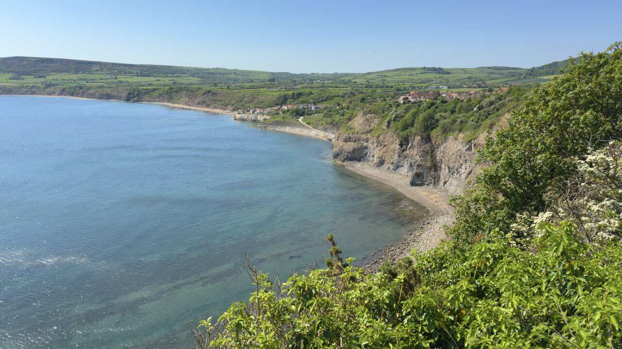
Soon after setting out from Robin Hood’s Bay and joining the Cleveland Way, I stop to take in this superb view back across the bay. The village sits on the far headland, with the wide curve of the bay below and the water shading from turquoise in the shallows to deeper blue out to sea. It is a fine reminder, right at the start of the Whitby walk, of how lovely this stretch of coast is.
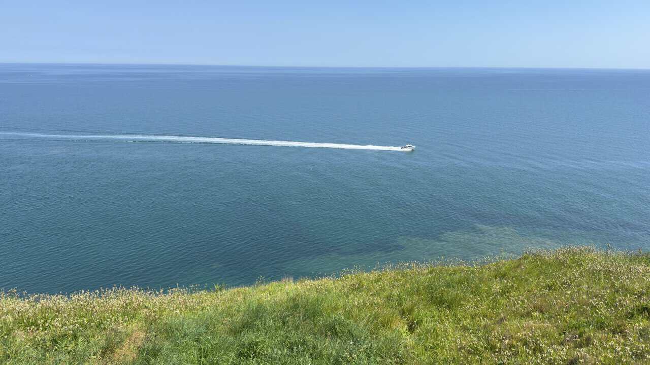
Out beyond the clifftop path above the Cow & Calf, a small boat cuts across the calm water, trailing a long white wake. From up here the sea reaches flat and blue all the way to the horizon, while the grassy banks drop steeply towards the cliff edge.
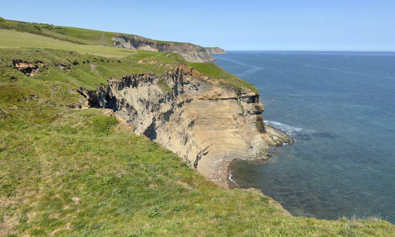
Just past the Cow & Calf, the views begin to open out as I look north along the coast. Below lies Craze Naze, whose name comes from old words for a headland marked by the curious patterning in its rocks. The banded cliff drops to a rocky shore and clear water, and ahead the green clifftops roll on towards the next headland, the path tracing the very edge.
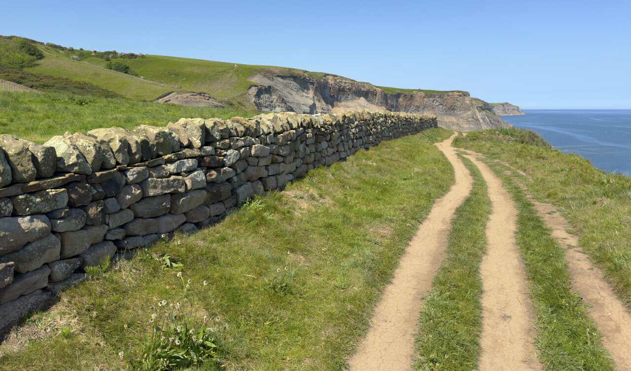
A fine drystone wall runs beside the path as I carry on along the Cleveland Way towards Rain Dale. The going is very straightforward here, close to the cliff edge with the sea always on my right, and this stretch also forms part of the King Charles III England Coast Path. The worn track makes it easy to follow.
Above Clock Case Nab now, I look down to the beach at Far Jetticks. Both names hark back to the coast’s jet-mining past, Far Jetticks meaning the farther jet workings, where jet was dug from the cliffs as far back as the Bronze Age. From this point on the Whitby walk the cliffs fall away in dark, stepped layers to a quiet, shingle bay, and the seams of shale that once made the area famous for Whitby jet are still easy to pick out.
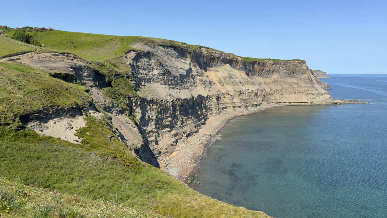
Carrying on, I reach the cliffs above Normanby Stye Batts, still following this beautiful stretch of the Cleveland Way. The grassy clifftop drops steeply to pale, eroded rock and a stony shore far below. Away to the right the calm sea reaches to the horizon, and the path rolls on towards the next rise.
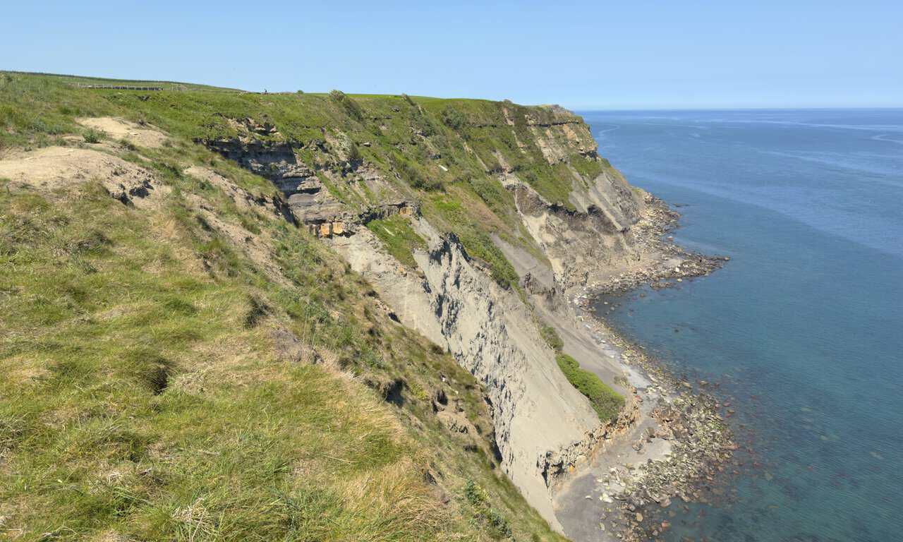
About two and a half miles in, I find myself above Pursglove Stye Batts, one of the many curious names scattered along this coast. Like its neighbours, it likely owes something to the old jet workings and the local dialect, with “batts” a regional word for the flattish ground and ledges near the shore. Bracken and scrub cloak the cliffs here, falling to a jumble of dark, weathered rock at the water’s edge.
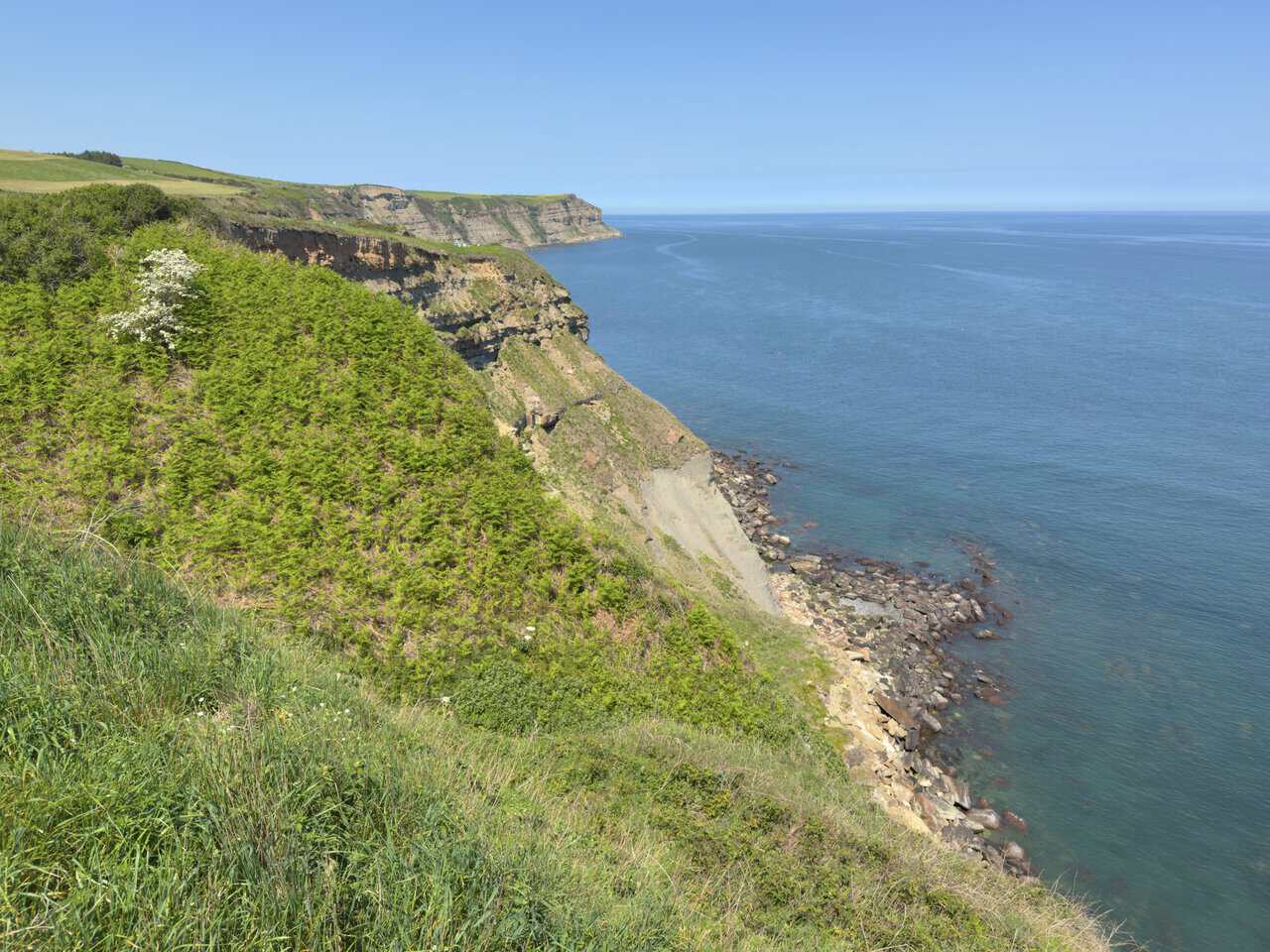
The clifftop path is not as level as it first appears. Every so often a small stream runs down off the inland fields to the sea, and over time the water has cut a little valley for the path to cross. Here the way dips through dense scrub and bracken, the stone underfoot a maintained conservation surface laid to stop the many walkers wearing the ground away. On the higher land beyond sits Northcliffe Holiday Park.
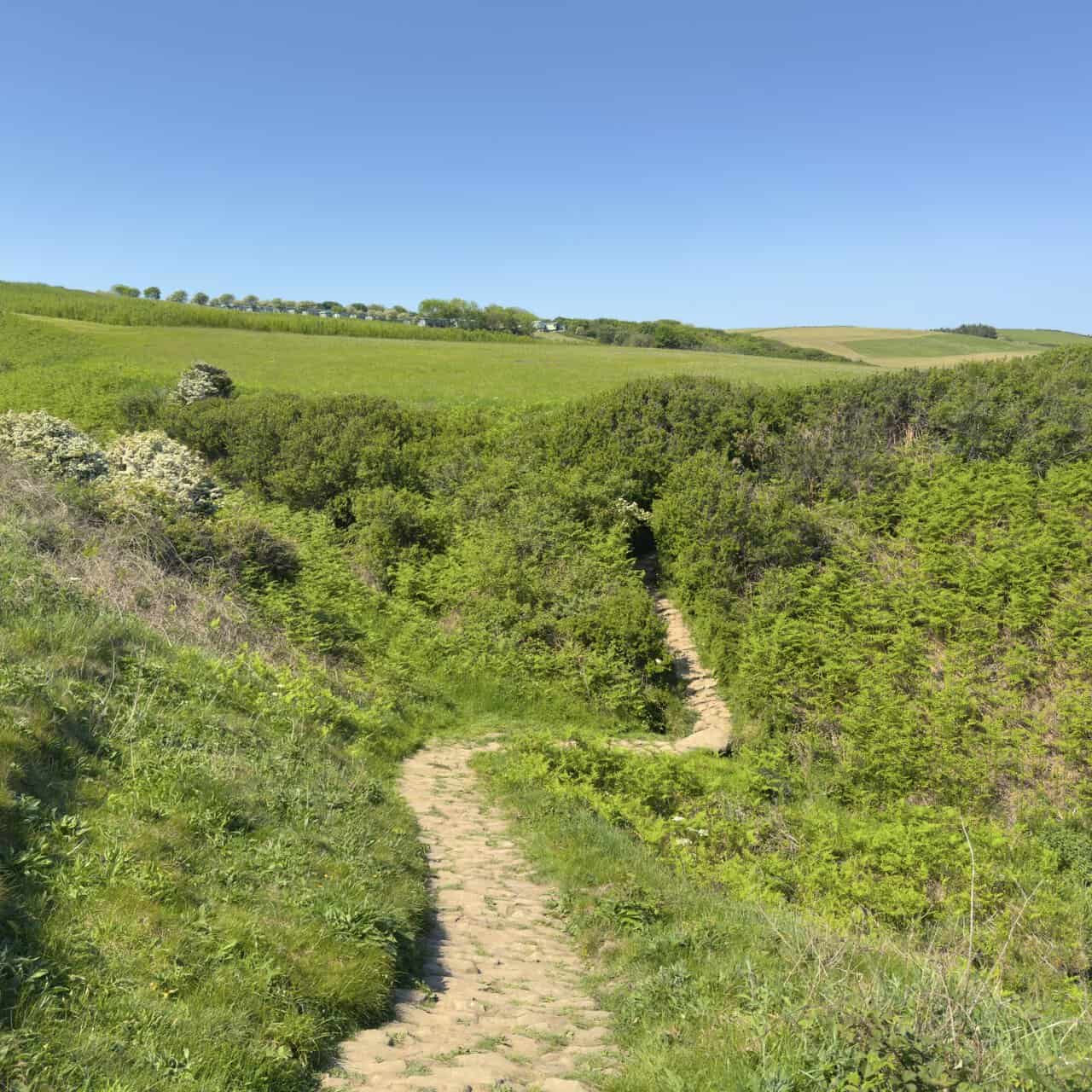
A handful of these dips appear along the coastal section of the walk, each one a short drop followed by a climb back up, often on a flight of steps like this. They break up the going and reward the effort with a fresh view every time the path regains the clifftop. The Cleveland Way runs for around 109 miles in all, from Helmsley in the North York Moors round to Filey on the coast, and stretches like this above the sea are widely held to be among its finest.
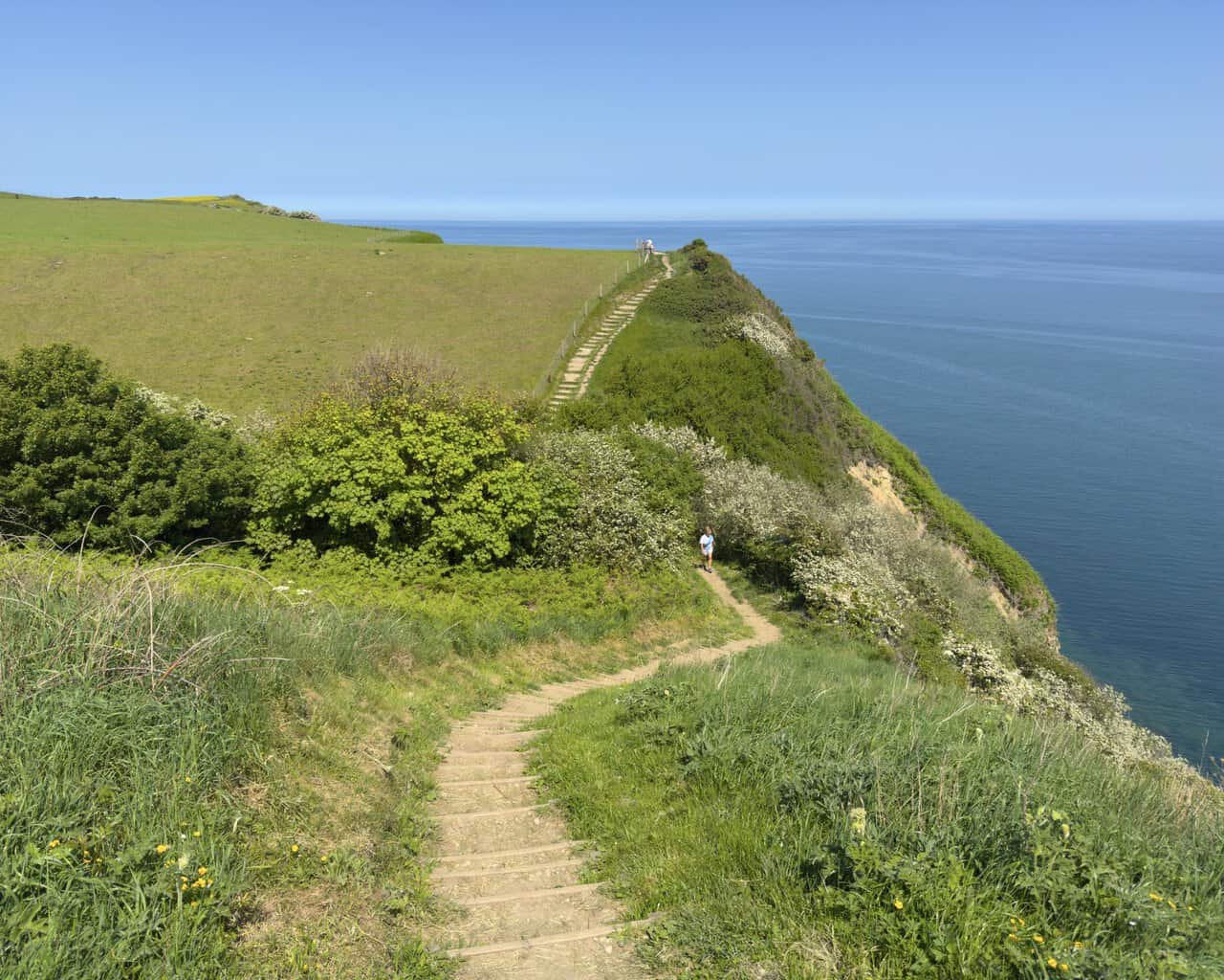
Another stepped section eases down the slope, this time without dropping into a valley. A meadow of buttercups spills away to the left, a wire fence marking the field edge and the sea a deep, calm blue to the right. The Cleveland Way was one of the first National Trails in the country, opened in 1969, and stretches like this show why it remains so well loved. Best of all, Whitby Lighthouse is now visible just ahead, below Ling Hill, a welcome landmark to aim for.
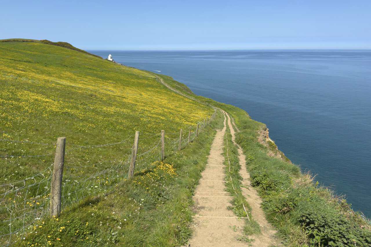
After the open clifftops, the path arrives at Whitby Lighthouse on Ling Hill. The white octagonal tower stands behind a low stone wall, its keepers’ cottages gathered around it and the path running close by. Designed by the engineer James Walker, it was first lit in 1858 and is now a Grade II listed building, still operated by Trinity House.
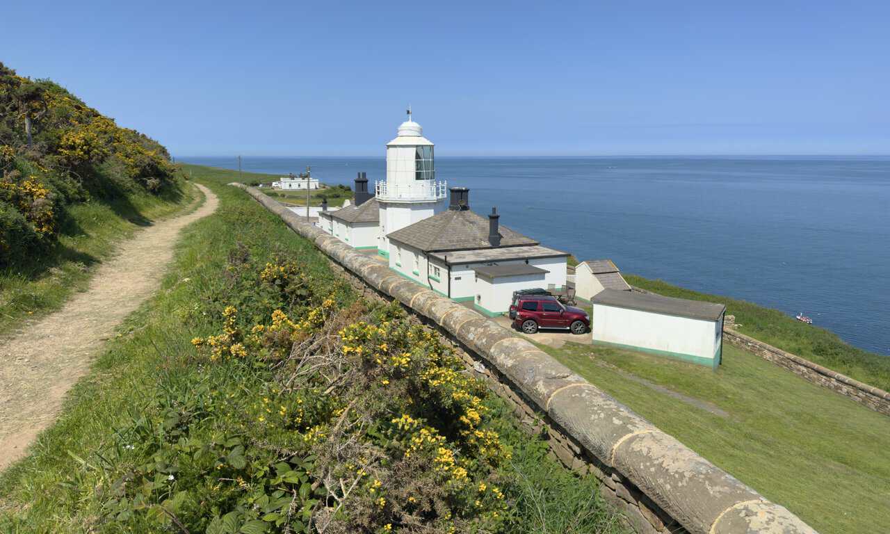
Drawing nearer, I can take the lighthouse and its cottages in properly. The tower itself is fairly modest at around 13 metres, but its lofty perch on the cliff sends the light far out to sea. Resident keepers tended it for many years until the light was automated in 1992, and the cottages are now let to holidaymakers rather than housing keepers, surely a memorable place to stay on this part of the Whitby walk.
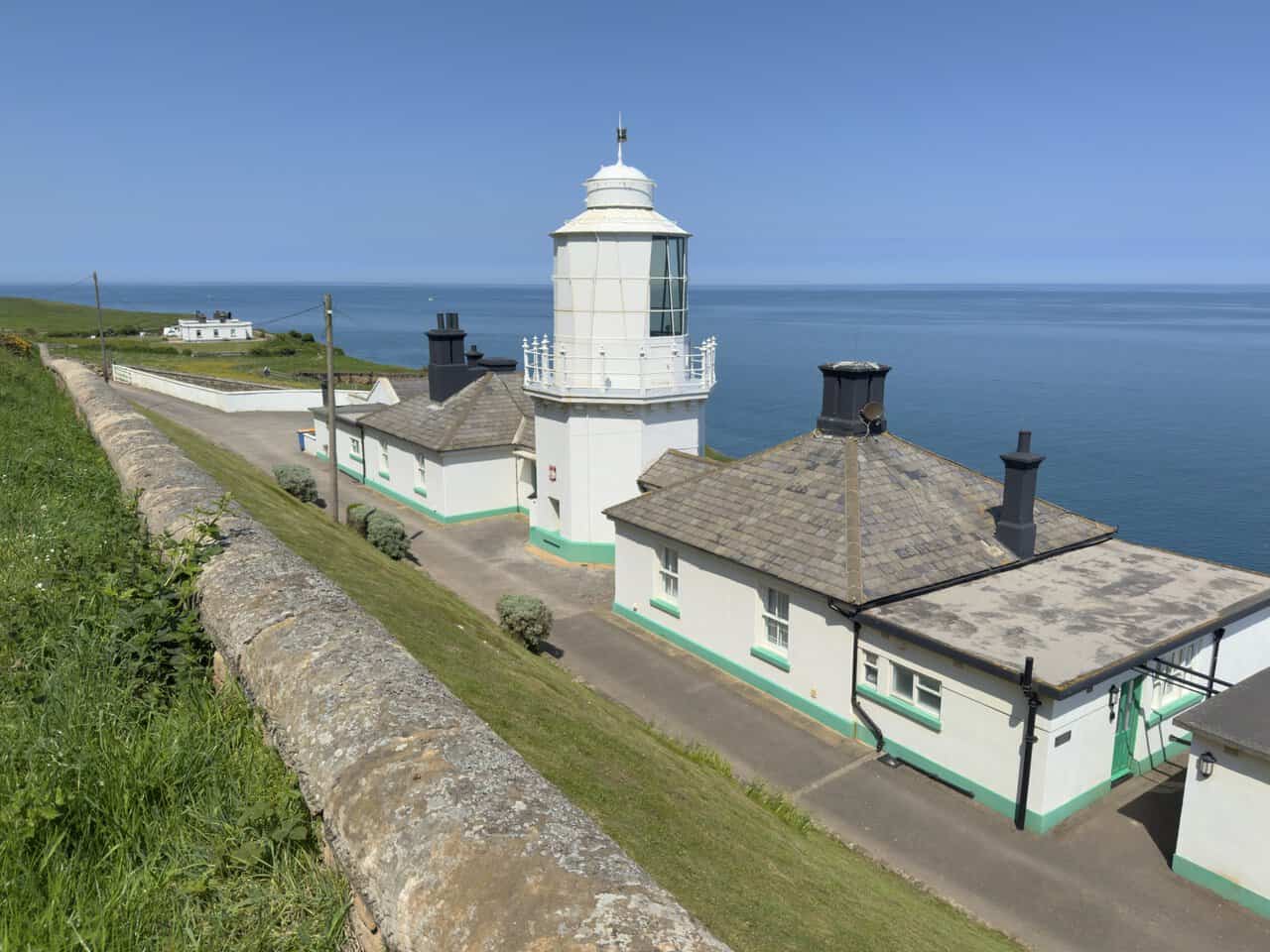
A closer look at the tower reveals the lantern, the white railed balcony and the weathervane on top. This was once one of a pair, the second a taller tower standing nearby. The two lights lined up to steer ships clear of Whitby Rock, a hazard offshore, until improvements in 1890 made the second redundant and it was taken down. The surviving light still guides vessels along this coast today.
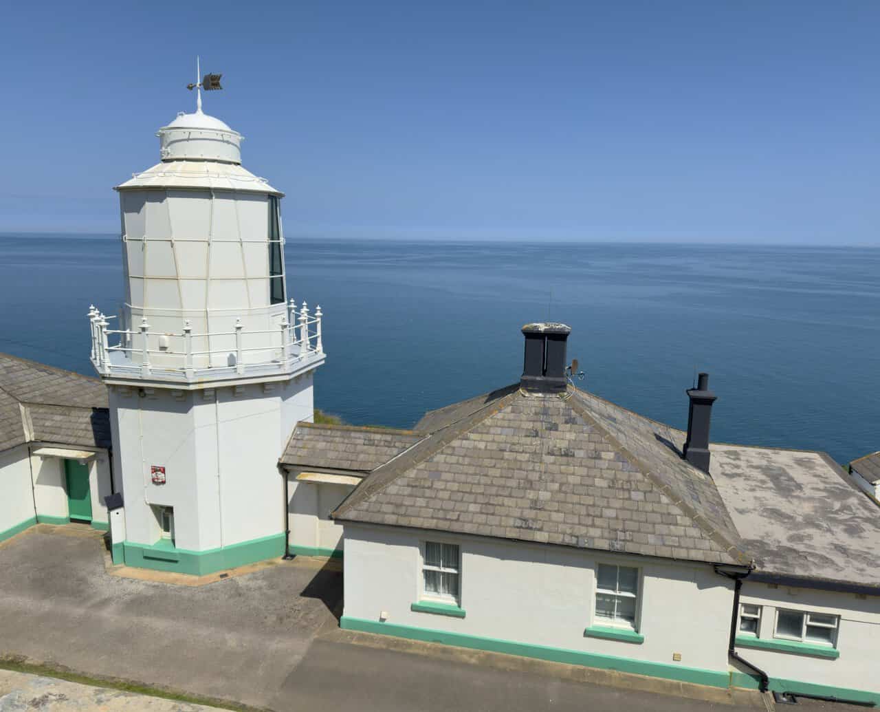
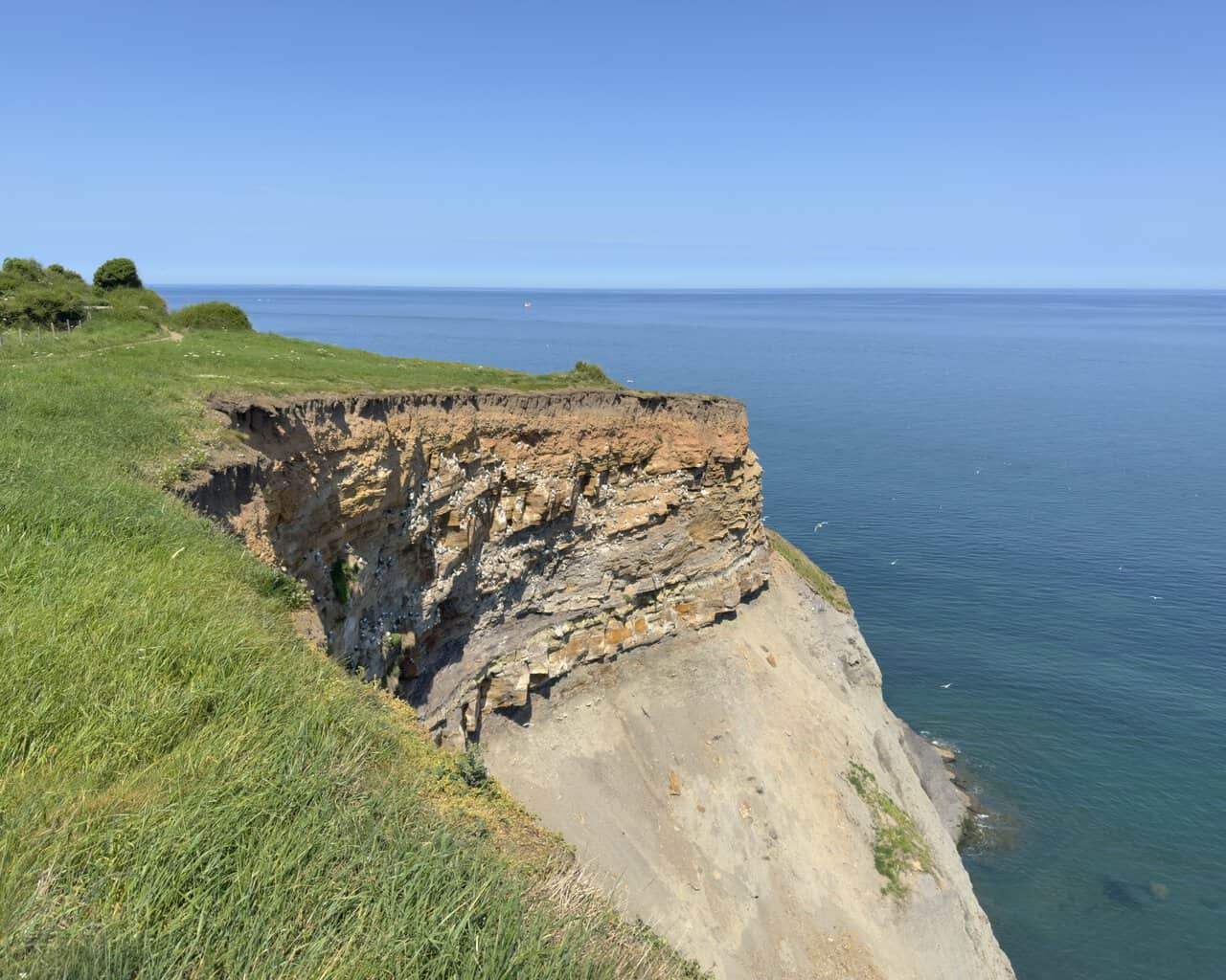
Between the lighthouse and the fog signal, the path comes to a stretch where part of the cliff face is alive with seabirds. They are most likely kittiwakes, small, elegant gulls with black wingtips that gather in noisy colonies on ledges like these to raise their young. This coast is well known for them, and pausing to watch them wheel between the rock and the open sea is one of the quieter pleasures of the day.
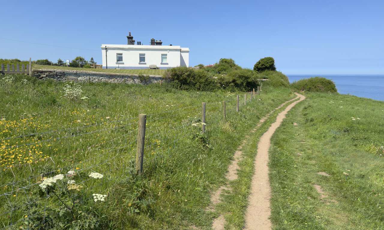
A little further and I approach Whitby Fog Signal, a long, low white building set back from the cliff edge with the sea beyond. It stands on the site of a second lighthouse that once worked alongside the surviving tower. The two lights, aligned north to south, guided ships clear of Whitby Rock when they lined up, and after improvements in 1890 allowed the north light to be switched off, that tower came down and this building went up in its place to house the fog warning equipment.
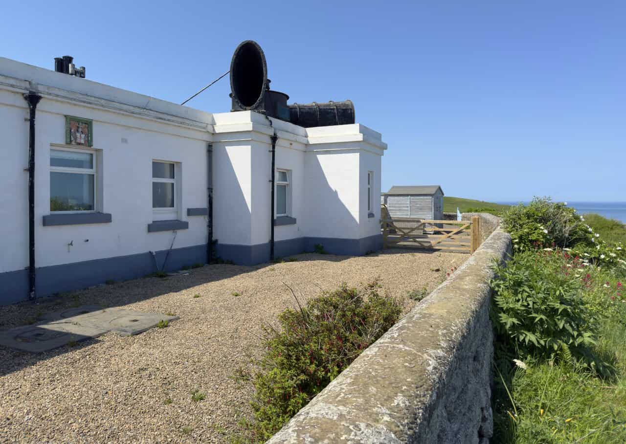
Reaching the building, I can see the great trumpet mounted on the roof, the part that sounded the warning. Known locally as the Hawsker Bull, the signal was in use from 1903 until 1987, alerting ships in thick weather when the light alone could not be seen. Driven by compressed air, its sound carried through a pair of large roof-mounted trumpets. The apparatus is silent now and the building has become a private home, though the distinctive trumpet still points out to sea as a reminder of its working life.
Past the lighthouse and the fog signal, the King Charles III England Coast Path carries on along this lovely stretch of cliff. Saltwick Bay opens up ahead, a broad sweep of sand and rock cradled by green cliffs, with a couple of dark stacks standing offshore. Further still, on a distant headland, the tower of Whitby Abbey appears, a first glimpse of the landmark I am walking towards.
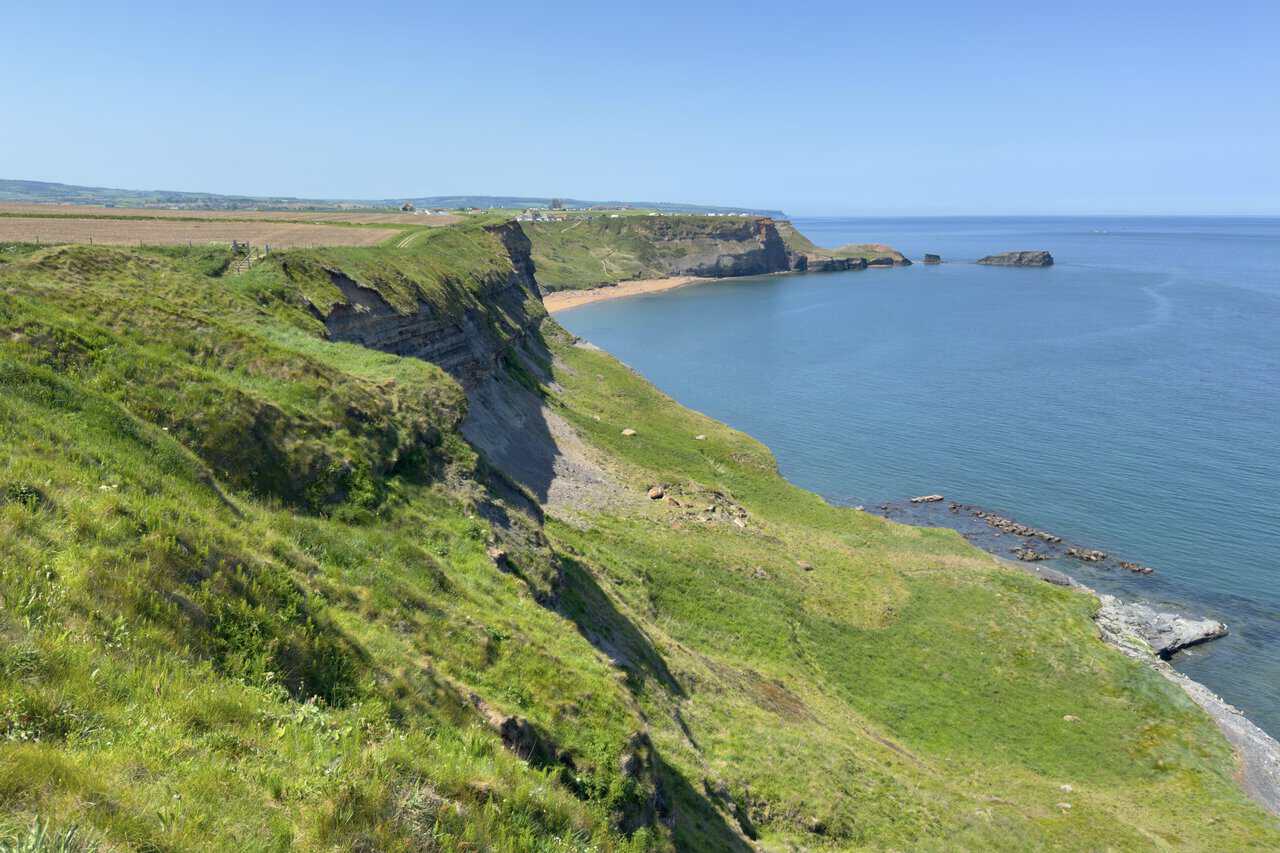
A fine vantage point looks down on the golden sands of Saltwick Bay. A few people have found their way down to the beach, reached by a steep path through the cliffs. On the headland above stands Whitby Holiday Park, its rows of caravans lined along the clifftop, and beyond them the abbey tower is once again in view.
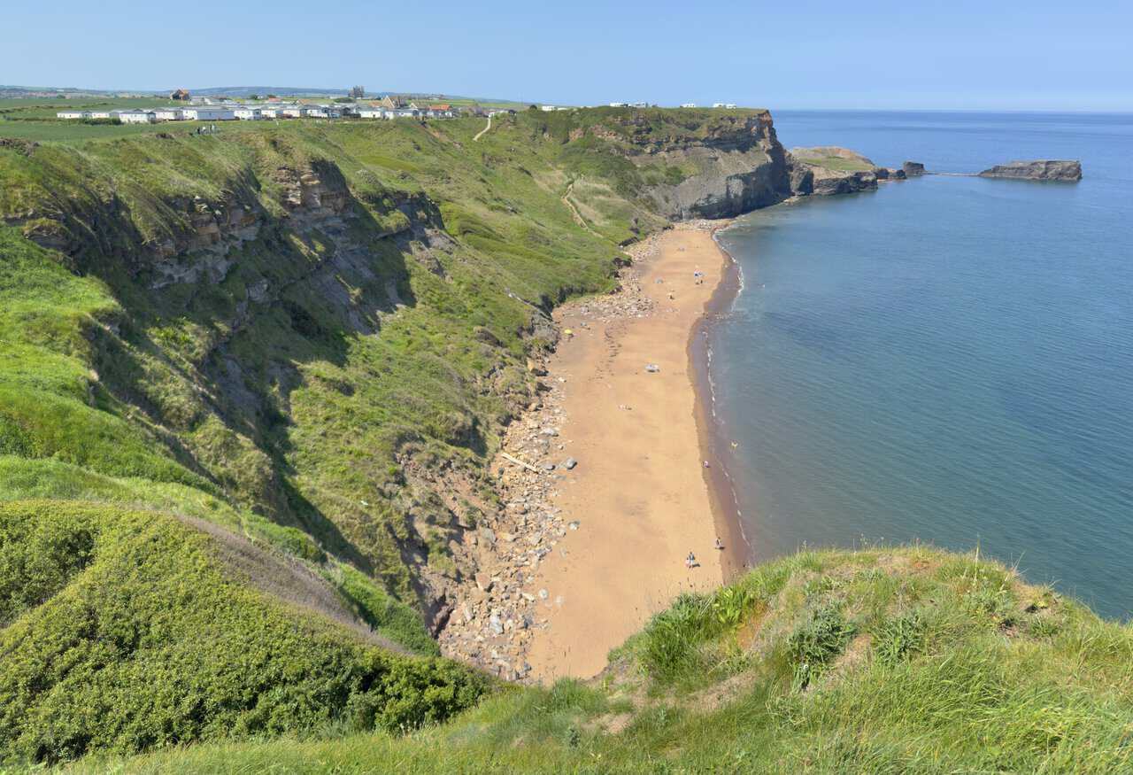
Rounding the headland past the holiday park, I get a clear view out to sea beyond Saltwick Nab, a long fin of rock reaching into the water. Wild as it looks now, the Nab was once a busy place: from the seventeenth century alum was quarried here, a mineral used to fix dyes in the cloth trade, and the work carried on until the late eighteenth century. The quarrying reshaped the headland, and one side effect was to bring fossils and seams of dark jet to the surface, which is why this is still a popular shore for fossil hunters and a memorable corner of the Whitby walk.
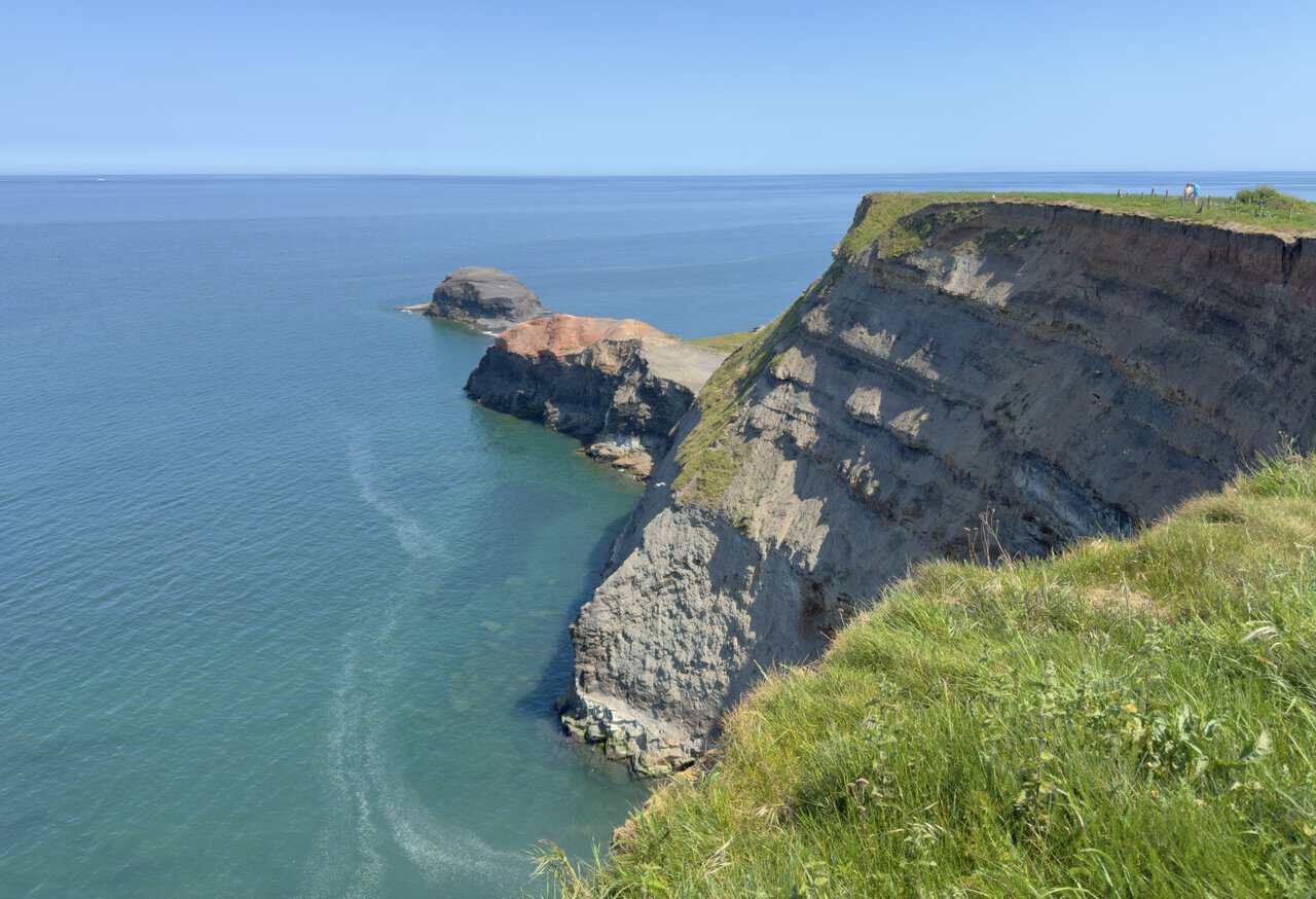
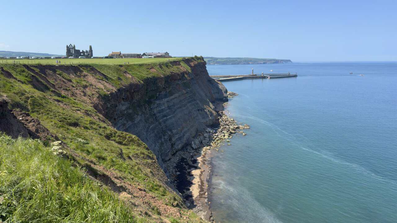
The path now opens out to give my first proper view of the Whitby piers. Out to the right, the two arms of the harbour reach into the sea, their lighthouses marking the entrance where fishing boats come and go. On the clifftop ahead, the great ruin of Whitby Abbey stands clear against the sky. After miles of open coast, it is a stirring sight and a sign that the first half of the day is nearly done.
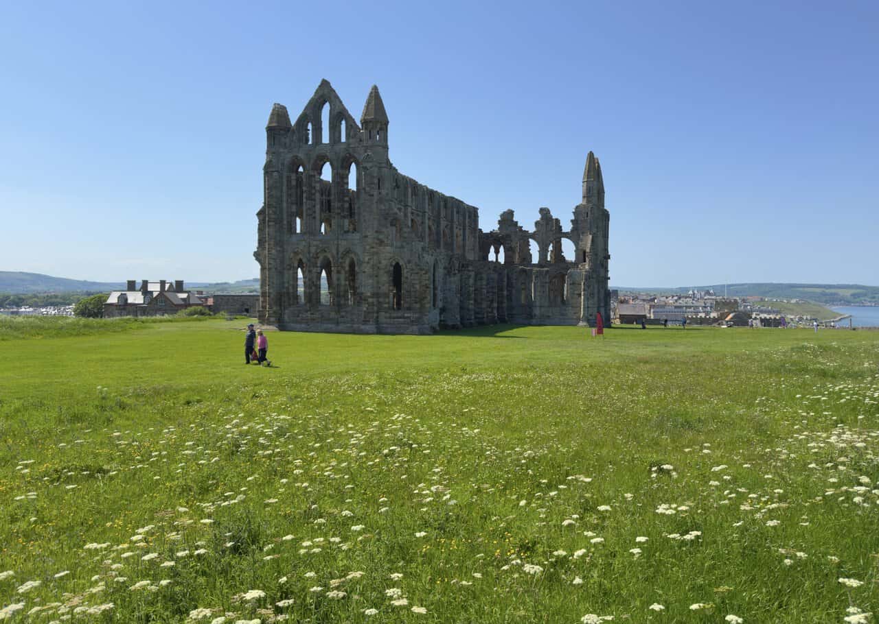
At last I reach Whitby Abbey, its great Gothic shell rising from a meadow of wildflowers on the headland. The history here runs very deep. A monastery was first founded on this spot in around 657 by Hild, a noblewoman who became its abbess and led it as one of the foremost religious centres in the Anglo-Saxon world. In 664 it hosted the Synod of Whitby, a landmark meeting that settled how the English Church would calculate the date of Easter, in favour of the Roman tradition over the Celtic.
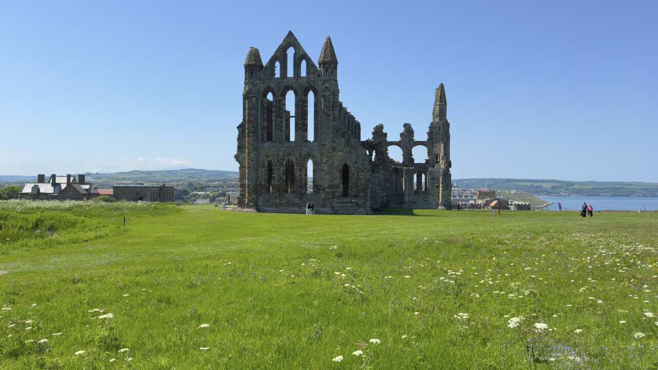
The first monastery was abandoned after Viking raids in the ninth century, and the ruin standing today belongs to a later Benedictine abbey, begun in 1078 after the Norman Conquest and rebuilt in grand Gothic style through the thirteenth and fourteenth centuries. It survived until 1539, when Henry VIII closed it during the Dissolution of the Monasteries, after which the buildings slowly decayed. I take in the scene from behind the high stone wall that bounds the site, since going inside would have added too much time, yet even from here the scale of the ruin is striking.
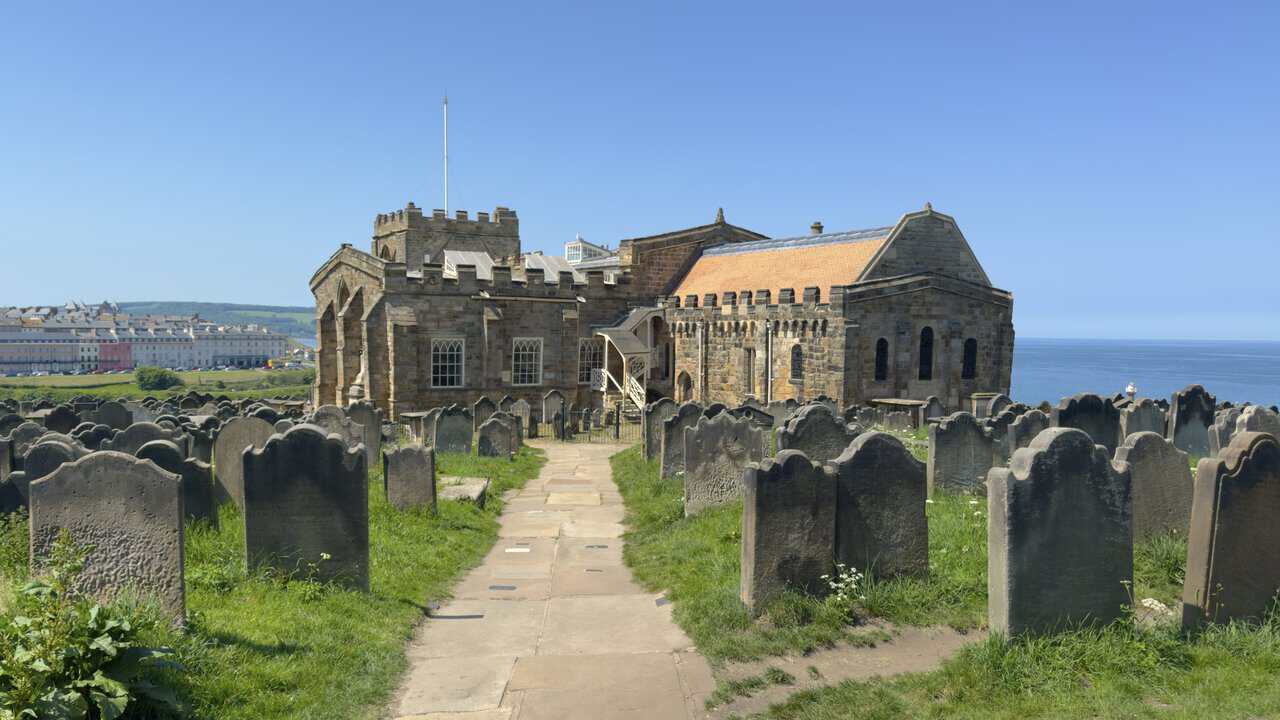
Beyond the abbey, my route passes St Mary’s Church, its sturdy stone tower rising above a churchyard crowded with weathered, leaning headstones. The church was first built in the Norman style around 1110, with the tower and transepts added over the next two centuries. The view from here reaches across the rooftops of the town to the hills beyond, with the sea off to one side, a reminder of how commanding this clifftop position is.
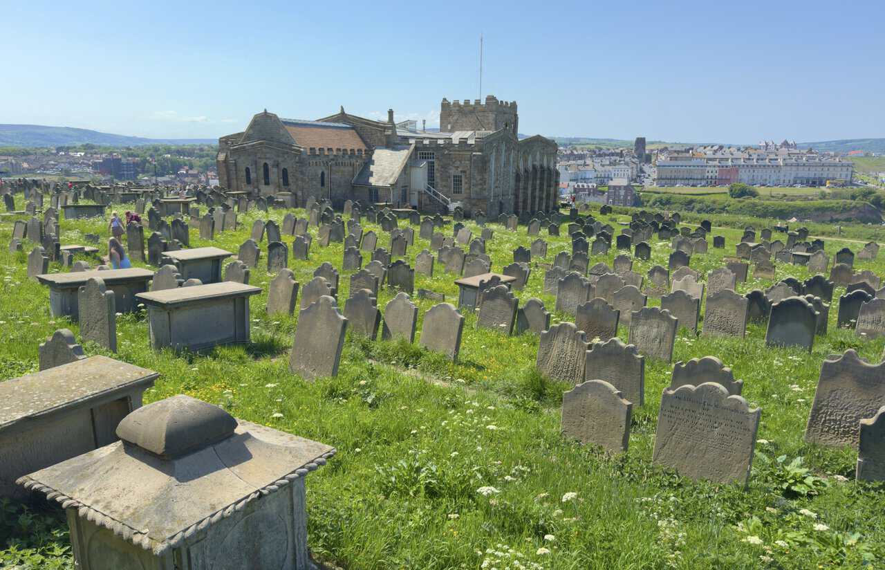
St Mary’s holds a few surprises. Inside, it has kept its Georgian fittings, among them box pews and a three-decker pulpit, and some of the pews were carved by ship’s carpenters from Whitby’s old whaling fleet, a couple of them marked “For Strangers Only”. Captain James Cook is said to have worshipped here during his years in the town. The churchyard, with its tilting stones and dramatic setting, is famous too as one of the places that fired Bram Stoker’s imagination as he wrote Dracula.
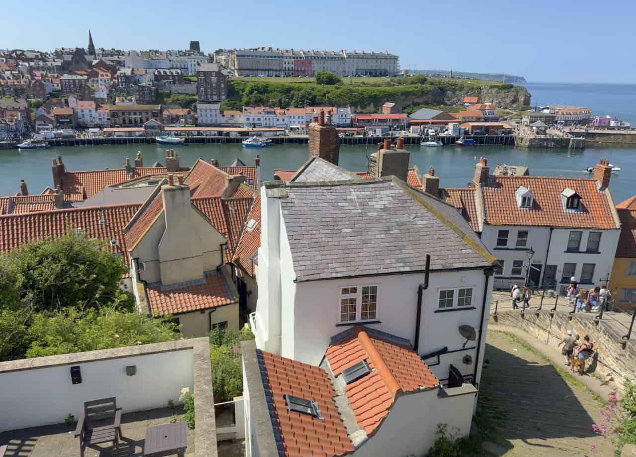
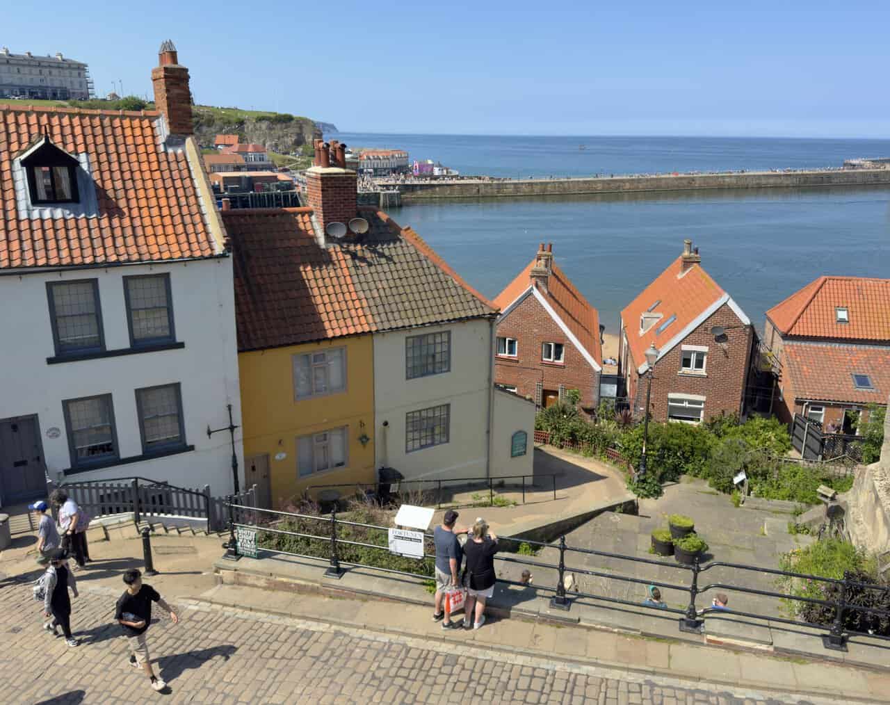
From the church I begin the descent of Whitby’s famous 199 Steps, the long stone staircase linking the clifftop to the old town below. The view from here is one of the finest on the Whitby walk, out over a jumble of red pantile roofs to the harbour, where boats lie on the water and the far cliff rises beyond the rooftops. It is worth pausing partway down simply to take it in.
Lower down, the steps drop between huddled cottages towards the harbourside. People stop at the railings to admire the view while others make their way up and down the worn stone. Below, the River Esk opens out towards the piers and the sea, the old town’s houses packed tightly along the water’s edge as they have been for centuries.
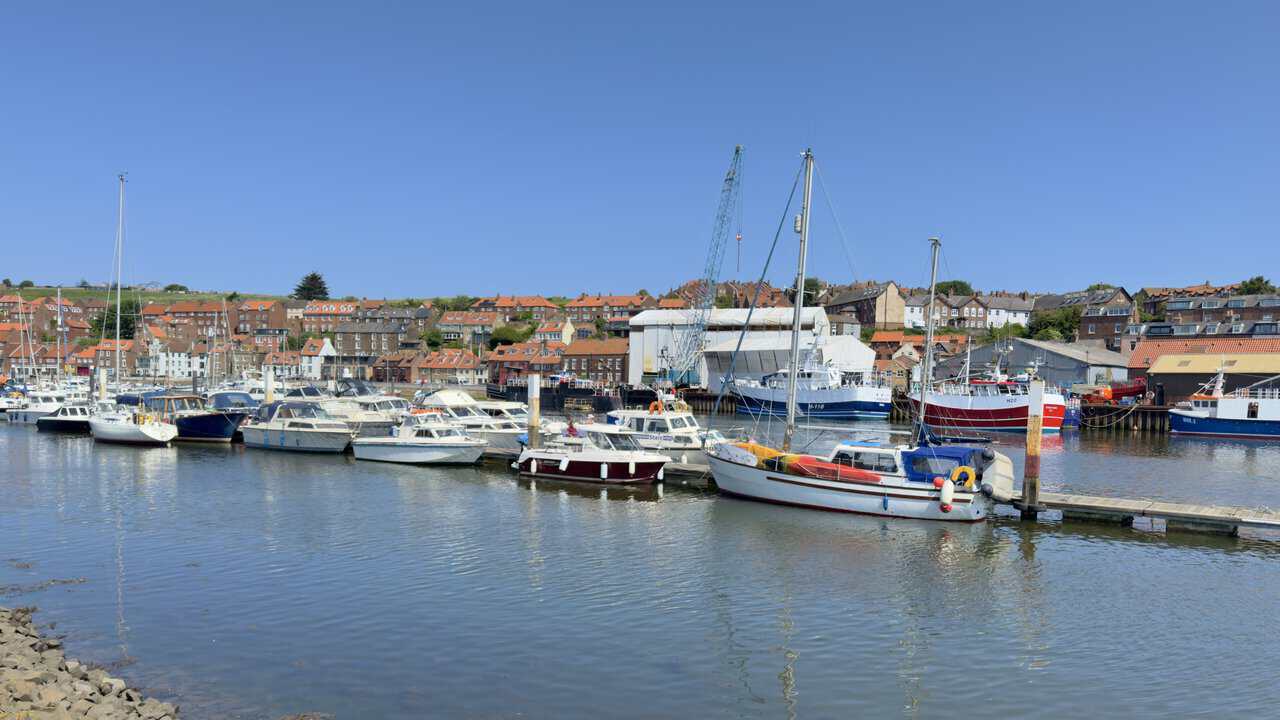
Through the old town, I cross Whitby Bridge and follow New Quay Road onto Langborne Road, passing Endeavour Wharf to reach Whitby Marina on the River Esk. Boats of every kind line the water here, from small pleasure craft to working fishing vessels, with the town climbing the hillside behind. This is just over halfway, so I stop for lunch and a welcome sit by the riverside before taking on the return leg.
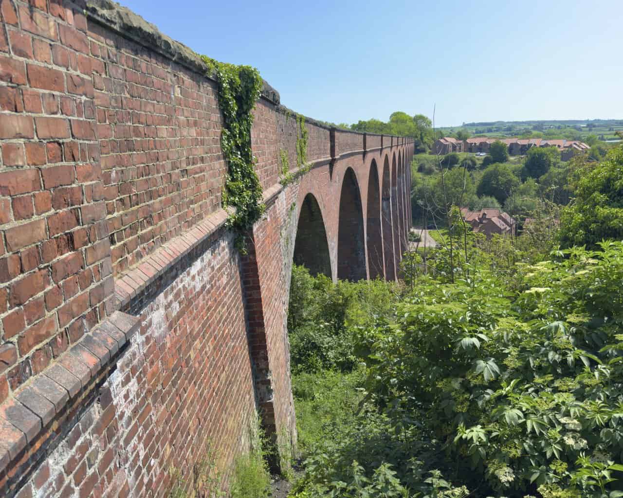
Leaving the town behind, the route joins the Cinder Track and crosses Larpool Viaduct, a grand thirteen-arch structure striding across the deep valley of the River Esk. Built between 1882 and 1884 to carry the old Scarborough and Whitby Railway, it was made of brick rather than iron because of the salty coastal air, reportedly using around five million bricks. The line closed in 1965, and the viaduct now carries the Cinder Track, so this elegant piece of Victorian engineering makes a fine, lofty start to the inland return, some 120 feet above the river.
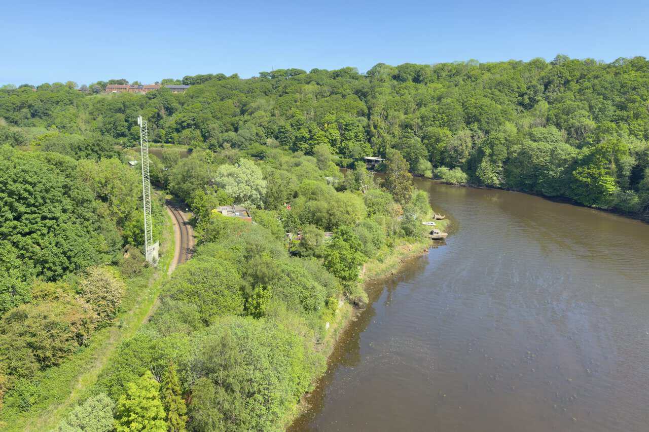
From the top of the viaduct, a fine view opens along the River Esk, which winds down from the North York Moors to meet the sea at Whitby. Below, the single track of the Esk Valley Railway hugs the wooded bank as it runs into the town, a working line linking Whitby with Middlesbrough that follows the river for much of its length.
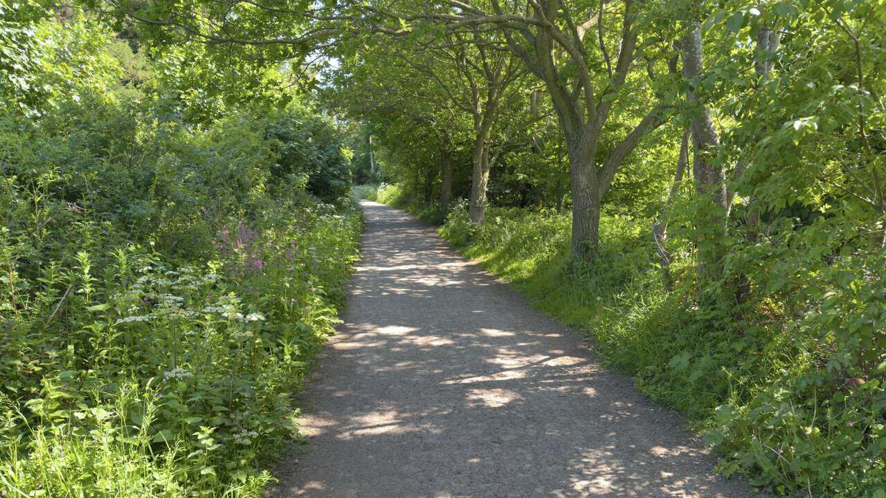
On the Cinder Track proper now, I head south towards Stainsacre along a broad, level path that once carried the railway. This stretch is largely wooded, trees arching overhead and the verges thick with tall grasses, cow parsley and pink campion. After the open clifftops of the morning it is a gentle, shaded contrast, and the easy gradient of the old line makes for relaxed walking.
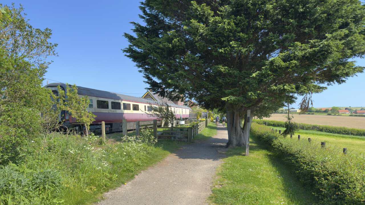
The Cinder Track brings me to Hawsker, where the old railway station has found a new lease of life. A line of former railway carriages stands beside the path, kept in fine condition, and one of them has been beautifully converted into self-catering holiday accommodation, an unusual and rather charming place to stay right by the trail. Cyclists come and go in the sunshine, a reminder that this quiet route was once a working railway and a pleasant stage of the Whitby walk.
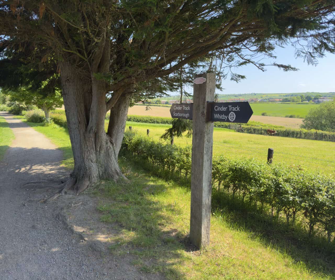
A little further on, a Cinder Track signpost points the two ways along the old line, back towards Whitby behind me and on towards Scarborough ahead. Beyond it the path runs between hedgerows, with open fields and grazing cattle just over the fence. It is a useful marker, confirming I am still on the right route for the return leg.
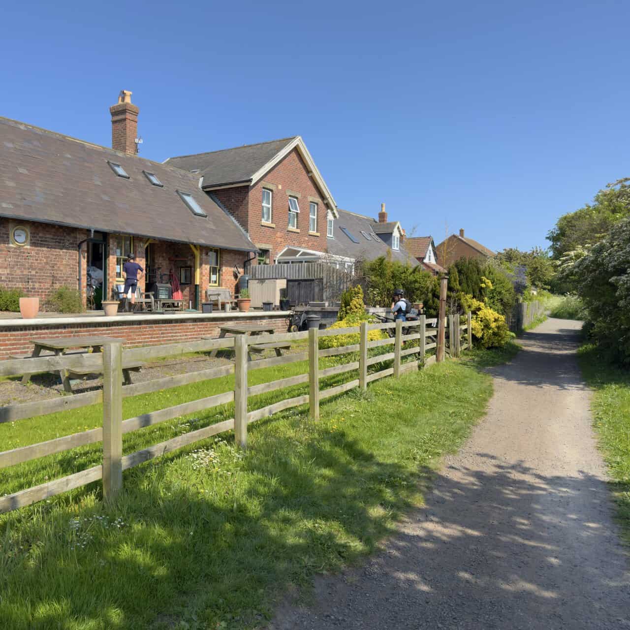
The station buildings here are home to Trailways, a long-running cycle hire business with a small café alongside that makes a welcome stop. It keeps a large fleet of bikes for all ages, which makes the level, traffic-free Cinder Track an easy and popular ride between Whitby, Hawsker and Robin Hood’s Bay. The old buildings, now homes, sit comfortably beside the path, looking much as they have for many years.
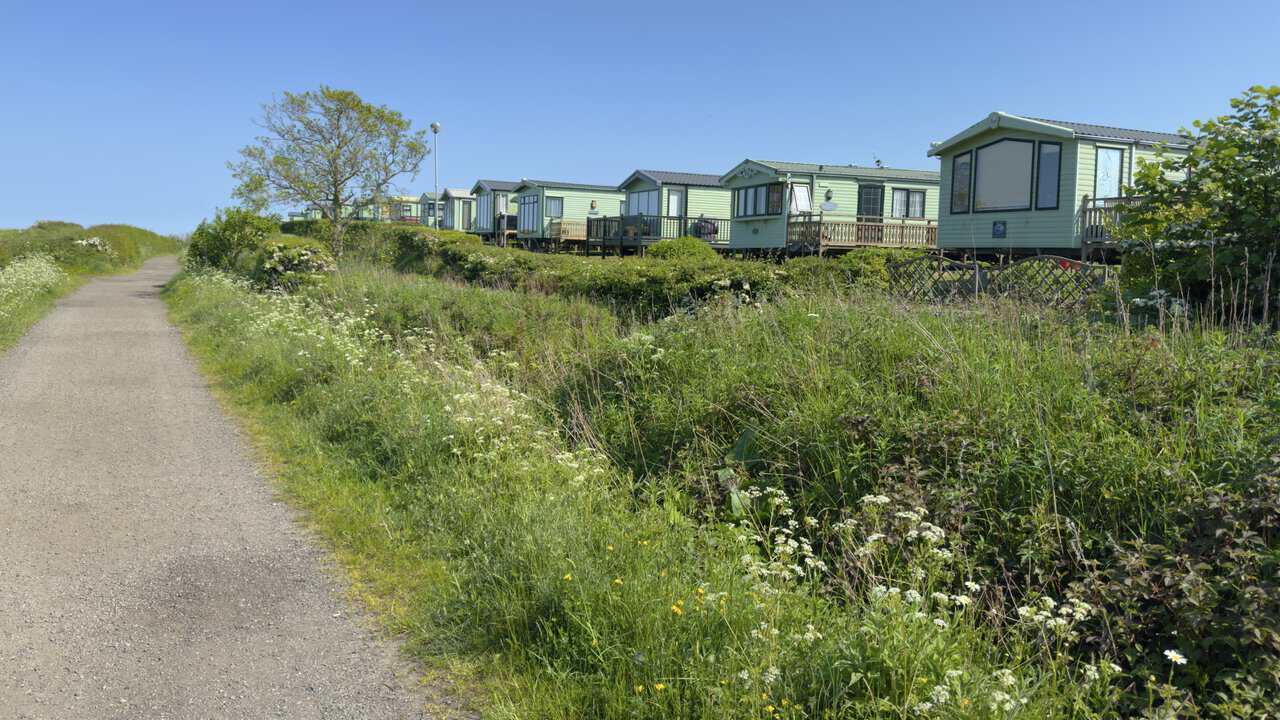
After Hawsker, the Cinder Track runs alongside the caravans of Northcliffe and Seaview Holiday Parks, their neat homes lined up behind the hedge. The two five-star parks occupy around 40 acres between Whitby and Robin Hood’s Bay, with sea and country views, and there is direct access onto the Cinder Track from here, so walkers and cyclists can set off straight from the door towards either town. With about two and a half miles still to go, I press on south along the level path.
Between high banks of grass and hedgerow the Cinder Track runs straight and level, as old railway lines tend to. It takes its name from the cinder surface laid when the line was converted, and runs for around 21 miles in all, following the route of the former Scarborough and Whitby Railway between the two towns. The line closed in 1965, and today the whole length is open to walkers, cyclists and horse riders.
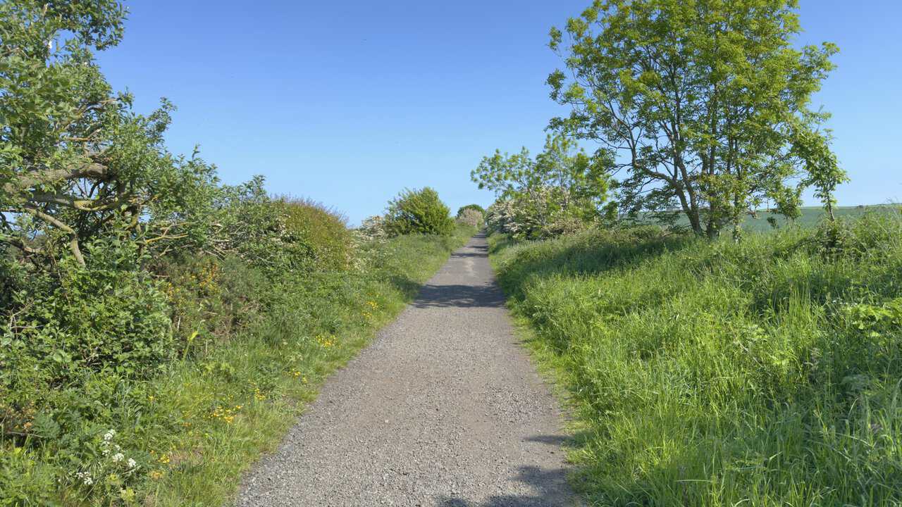
Along its course the Cinder Track links a string of coastal villages, among them Hawsker, Robin Hood’s Bay, Ravenscar and Cloughton, with cafés and pubs dotted here and there for a rest. It forms part of the National Cycle Network and is one of the best-loved off-road routes on this coast. On the Whitby walk I use only its northern end, but the hedgerows are heavy with hawthorn blossom and the going is easy and pleasant.

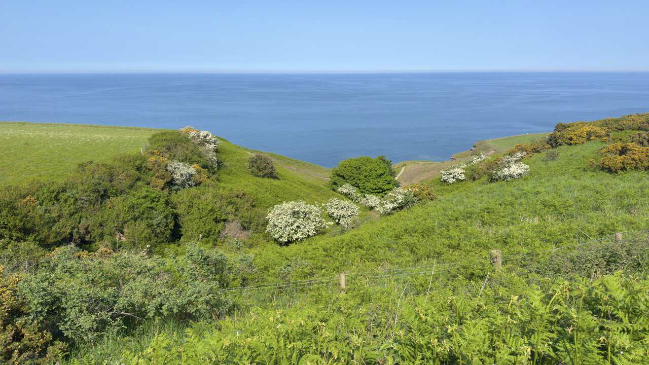
With just over a mile to go, the Cinder Track reaches the top of Rain Dale, the wooded valley I crossed earlier in the day. From here the ground falls away through bracken and hawthorn towards the sea, a deep, calm blue beyond the green slopes. Down near the foot of the valley I can make out the line of the Cleveland Way, the clifftop path I followed on the way out, a satisfying sense of the day’s two halves drawing together.
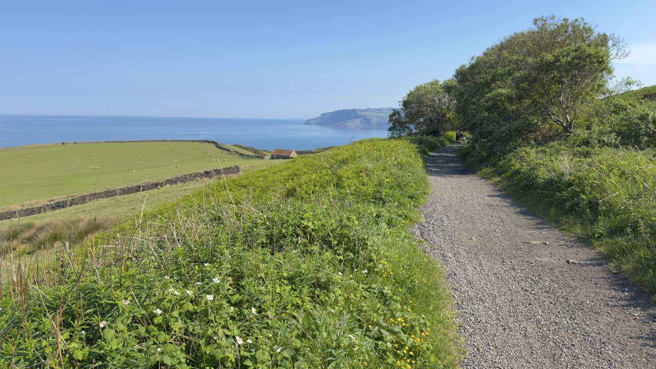
Pressing on, the wide sweep of the bay at Robin Hood’s Bay comes back into view ahead. To my left, sheep graze in the walled fields with the sea reaching away beyond them, and across the water the dark headland of Ravenscar is just visible in the distance, marking the far side of the bay.
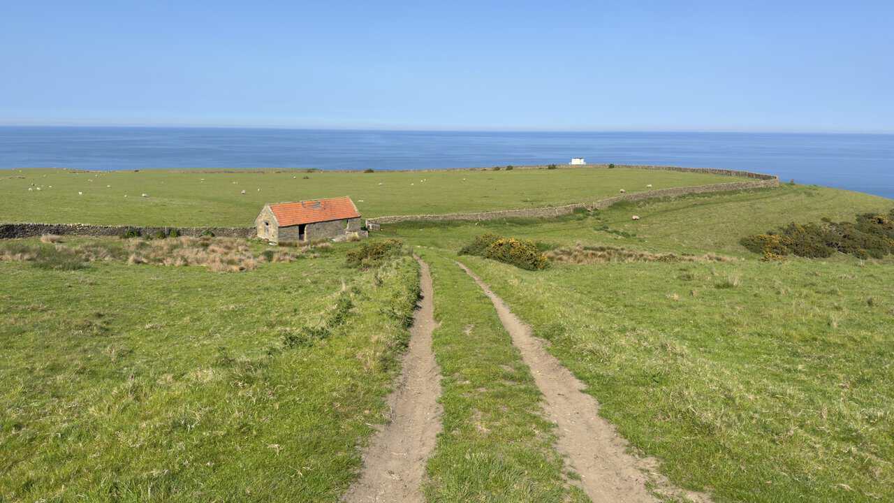
Further along, the Cinder Track gives a fine view back out to sea, with a handsome old stone barn under a red pantiled roof standing in the field below. Beyond it, near the cliff edge on slightly higher ground, sits a small white wooden building. The Cleveland Way passes close by but not quite to it, and its purpose is not obvious, though its commanding position over the water suggests it may once have served as some kind of lookout.
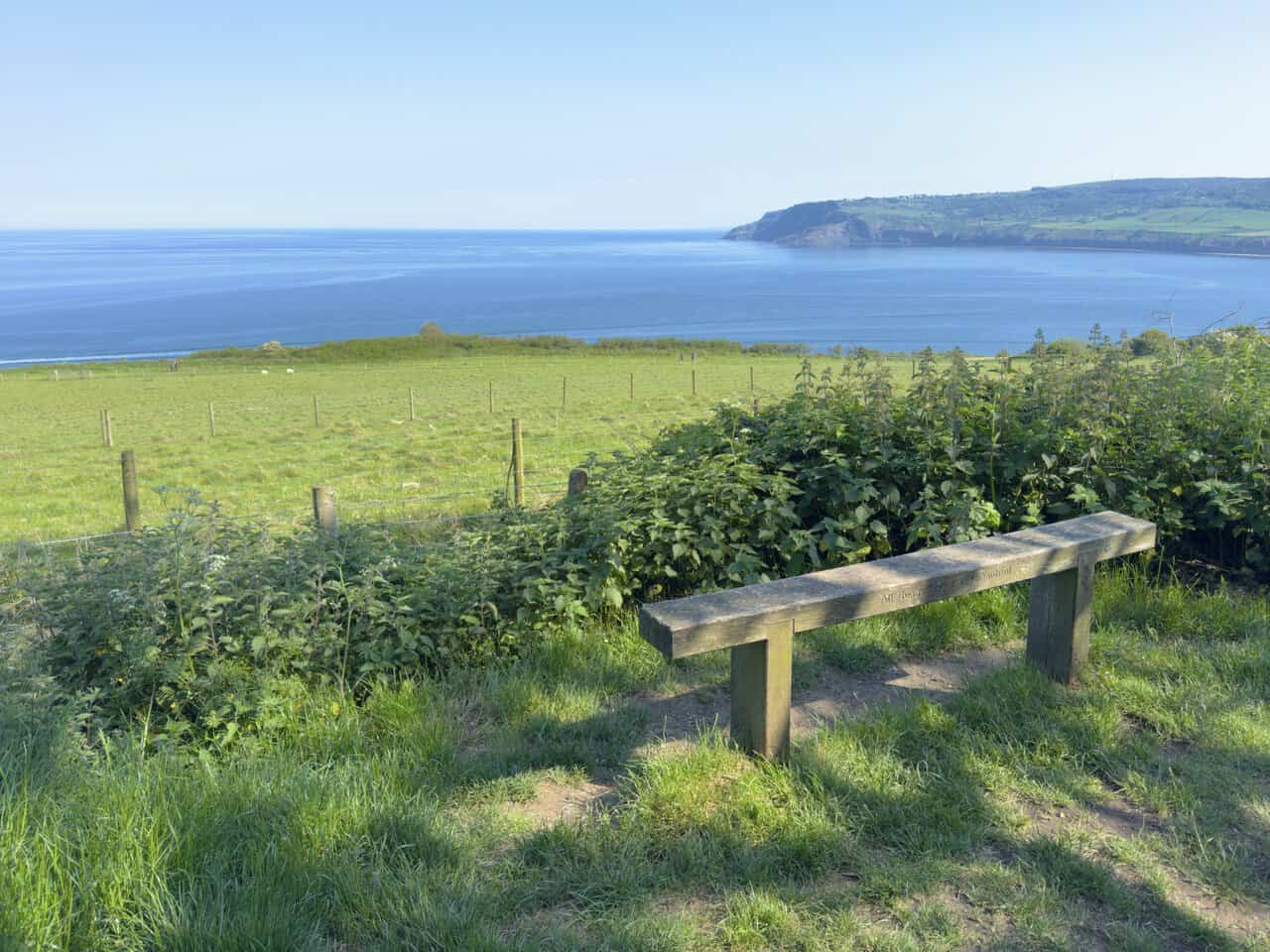
Almost at the end now, very close to Robin Hood’s Bay, I come to a simple wooden bench set above the fields with a glorious view over the bay. It is engraved with the words “All things bright and beautiful”, which feels just right in a place like this, the sea stretching away and Ravenscar across the water. It is a fitting spot to pause for a last look before dropping down into the village where the Whitby walk began.