ADVERTISEMENT
Follow the Nidderdale Way From Pateley Bridge on the Yorke’s Folly Walk
Start your Yorke’s Folly walk in Pateley Bridge and park in the Nidderdale Agricultural Society car park. Leave the car park and turn left onto the main road, the B6265, heading in the direction of Grassington. Follow the road as far as the Royal Oak public house, then turn left onto the road signposted to Bewerley Park Centre and continue along it into the village of Bewerley.
Walk all the way through the village, passing Bewerley Grange Chapel on your left as you go. As you leave the village, ignore the first turning on the right to Peat Lane and simply carry straight on. Follow the road as it bends round to the right, where you join Nought Bank Road, signposted to Otley.
Just after you pass the entrance to Skrikes Farm, and as the road bends round to the left and begins to climb, take the public footpath on your right. Follow this path up the steep grassy bank and, at the top, go through the gate into Skrikes Wood. The curlew symbol on the yellow waymarkers confirms that you are on the Nidderdale Way. Head uphill through Skrikes Wood, taking care where the path divides part way up, and be sure to keep to the left-hand fork. Leave the wood through a gate and continue ahead across the heather moorland of Nought Moor.
ADVERTISEMENT
When you reach the small parking area and the minor road, cross the road and take the public footpath directly opposite, signposted to Guisecliff and still on the Nidderdale Way. You are now about a quarter of the way round your Yorke’s Folly walk. The path leads you to Yorke’s Folly.
Continue past Yorke’s Folly and go through the gate on your right, staying on the Nidderdale Way with a high dry stone wall on your left. As you go, you will start to catch sight of the EE telecommunications mast in the distance, which is the direction you are heading. About a third of a mile beyond Yorke’s Folly the path splits, so take the right-hand turn signposted public footpath and Nidderdale Way, out onto the open moorland. The route towards the mast is well signposted, with yellow waymarkers fixed to wooden posts.
As you draw close to the mast you reach a T-junction. Turn left, keeping to the Nidderdale Way, and follow the path down to the mast. You are now at the halfway point of your Yorke’s Folly walk. Walk past the mast and carry straight on through a gate in the dry stone wall, ignoring the turning on the right.
Follow the path down the hillside and into the woodland of Guisecliff Wood, passing a huge boulder on your right. Stay on the main and most obvious path as you pass more large boulders. The way is well defined and easy to follow, and it eventually brings you down the eastern side of Guisecliff Tarn. You will not see the water itself unless you make a short detour to the left, which is well worth doing.
ADVERTISEMENT
Carry on past Guisecliff Tarn and downhill through the wood. Keep to the clearest and most obvious path, which eventually forks off to the right and continues down through Parker Wood. Along here the path does not follow the exact line of the Nidderdale Way shown on OS maps, but it rejoins it a little further down. Leave Parker Wood through a gap in the dry stone wall and follow the path to reach two large stone houses, High Fold and Bobbin Mill Cottage.
Keep straight ahead on the stone track past these two houses and continue past more buildings, including Curlew Cottage, Throstle’s Nest and Hollin Farm Cottage. Stay on the track as it leads downhill towards Glasshouses. When you reach the concrete lane at Low Fold, turn left and go down to Glasshouses Bridge.
Cross Glasshouses Bridge over the River Nidd, then turn left onto the stone track signposted to Pateley Bridge. You are now about three quarters of the way round your Yorke’s Folly walk. This easy riverside route, known as the Six Dales Trail, runs alongside the River Nidd for about one and a quarter miles. As you approach Pateley Bridge, look out for the sculpture Pillars Past, set behind a high wall on your right. The path brings you out onto the main road, the B6265, in Pateley Bridge. Turn left and cross the bridge over the river to return to the car park and finish your Yorke’s Folly walk.
Yorke’s Folly Walk: Maps and Tools
Visit either the OS Maps website or the Outdooractive website to view this walking route in greater detail. Both platforms offer a range of features, including the ability to print the route, download it to your device, and export the route as a GPX file. You can also watch a 3D fly-over and share the route on social media. Plus there is a supporting video, available for you to watch on YouTube.
Yorke’s Folly Walk: Distance, Duration, Statistics
Distance: 4¾ miles
Distance: 7¾ kilometres
Duration: 2½ hours
Ascent: 782 feet
Ascent: 238 metres
Type: Circular walk
ADVERTISEMENT
Recommended Ordnance Survey Map
The best map to use on this walk is the Ordnance Survey map of Nidderdale, reference OS Explorer 298, scale 1:25,000. It clearly displays footpaths, rights of way, open access land and vegetation on the ground, making it ideal for walking, running and hiking. The map can be purchased from Amazon in either a standard, paper version or a weatherproof, laminated version, as shown below.
Weatherproof Version
Ordnance Survey map of Nidderdale, reference OS Explorer 298, scale 1:25,000
About Yorke’s Folly
Yorke’s Folly stands high on the edge of Nought Moor, above the village of Bewerley near Pateley Bridge, and it is the landmark that gives the Yorke’s Folly walk its name. Known locally as the Two Stoops, it takes the form of two tall gritstone pillars, each rising to around fifteen metres and shaped to look like the ruined window or crossing of an old church. From much of the surrounding valley you can pick out their distinctive silhouette on the skyline.
The folly was built in the late Georgian period for John Yorke, a wealthy landowner whose family seat was at Bewerley Hall in the valley below. It was created as an eye-catcher, a decorative feature designed to be admired from the house across the dale, at a time when mock ruins and sham Gothic follies were very much in fashion among landowners. The romantic, ecclesiastical look may well have been inspired by the ruins of Fountains Abbey, which lie only a few miles away and once held a grange at Bewerley.
There is a kinder story behind the folly too. It is widely believed locally that John Yorke had it built in part to provide paid work and food for local men during a time of hardship and high unemployment, much like the nearby Druid’s Temple, which was raised for similar reasons. Whether as charity or ornament, the result is a structure that has watched over Nidderdale for more than two centuries.
Related Walk: Similar to the Yorke’s Folly Walk
Discover natural beauty on the Brimham Rocks walk in Nidderdale
Originally there were three pillars, and the folly was then known as the Three Stoops. In a storm in November 1893 the third and largest pillar was blown down, leaving the two that stand today. Ambitious plans to rebuild the missing stoop as a millennium project came to nothing, but the surviving pair remain a dramatic and much-loved sight, and the folly was given Grade II listed status in 1987.
Across the road from the folly lies its lesser-known companion, a rocky outcrop known as Crocodile Rock, named for its resemblance to a pair of gaping jaws, once clearly seen in silhouette from the valley though now largely hidden by trees. Bewerley Hall itself, the house the folly was built to complement, was demolished in 1924, so in a sense the eye-catcher has outlived the very view it was designed to adorn.
Today Yorke’s Folly is a popular resting place for walkers on the Nidderdale Way, and it makes a natural highlight of the Yorke’s Folly walk. It can be visited freely at any time, with parking in the lay-by on Nought Moor Road, and it rewards the short climb with superb views right across Nidderdale and down over Pateley Bridge.
Yorke’s Folly Walk: My Photos
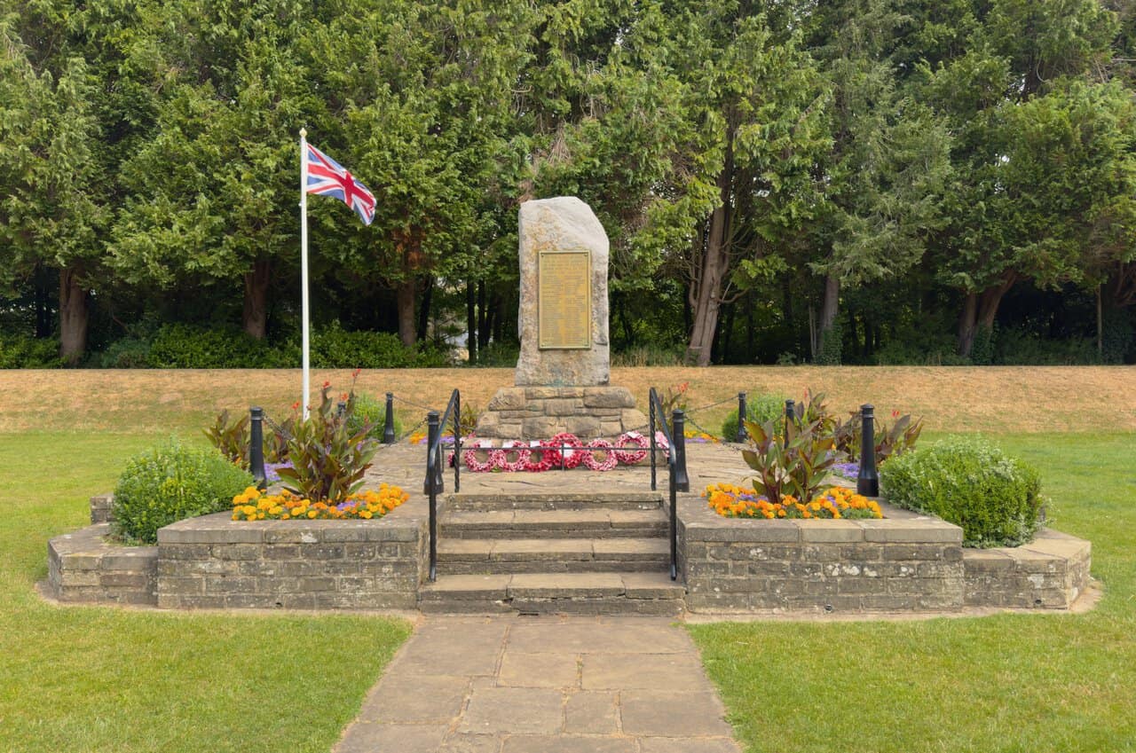
After parking up, I cross the River Nidd and take a stroll around the Bewerley Recreation Ground, where my Yorke’s Folly walk gets under way. In one corner stands the war memorial to the men of Bishopside and Bewerley, a standing stone that remembers those who fell in the two world wars, with sixty-nine names from the First World War and twelve from the Second. It sits among neat flowerbeds beneath a Union flag.
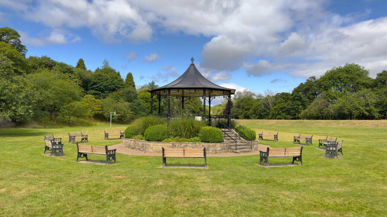
Also in the park is this bandstand, its curved black roof rising above a ring of wooden benches. I pause here for a moment in the early stages of the walk before carrying on into the village.
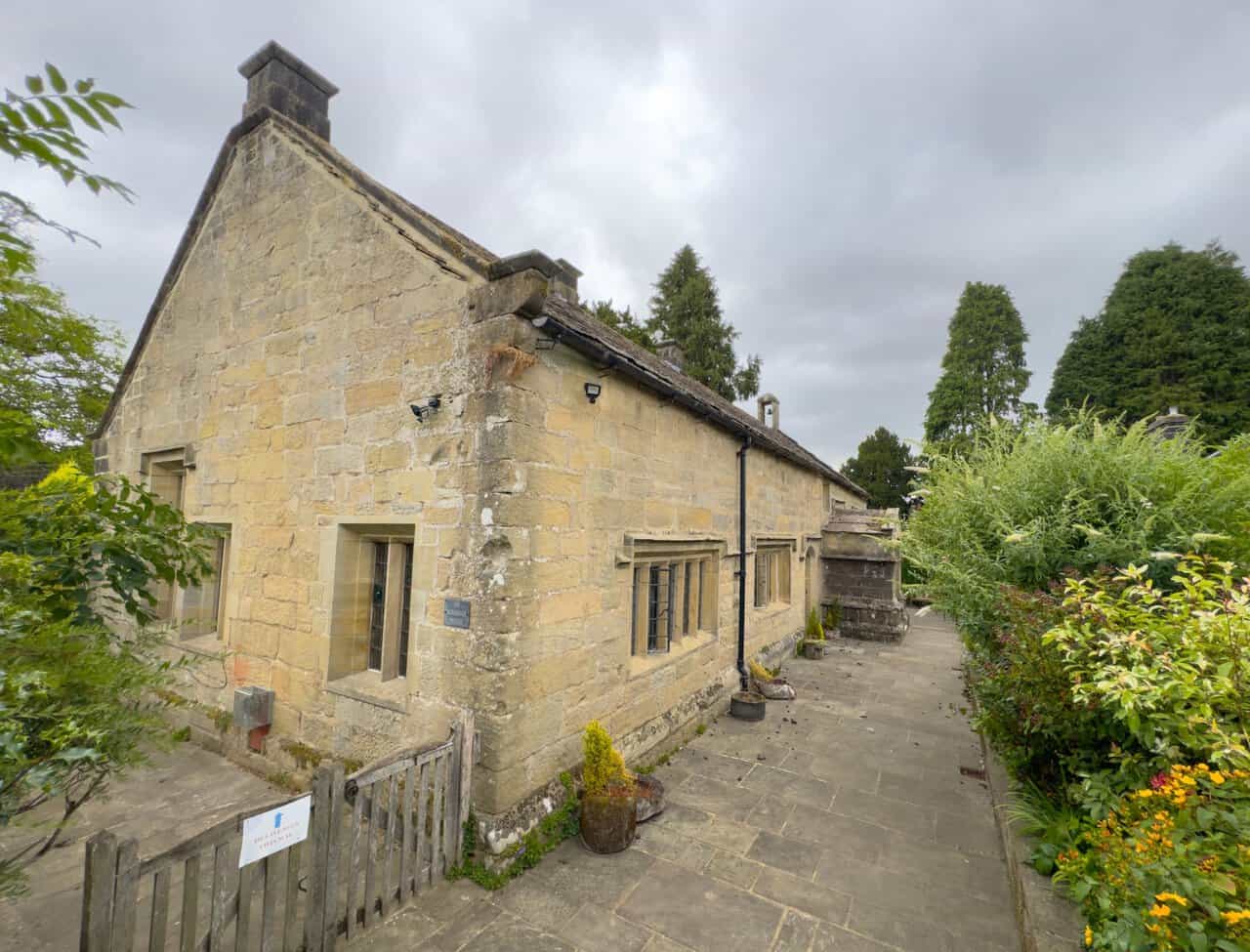
Walking on through the village of Bewerley, I reach Bewerley Grange Chapel, one of the highlights of my Yorke’s Folly walk. The chapel was built around 1495 by Marmaduke Huby, Abbot of Fountains Abbey, and served the lay brothers who worked the abbey’s land here, quarrying stone and lead across Nidderdale. It is the only grange of Fountains Abbey still standing in its original location, and Huby’s initials and his motto, “Soli Deo Honor et Gloria”, can still be seen carved into the old gritstone walls.
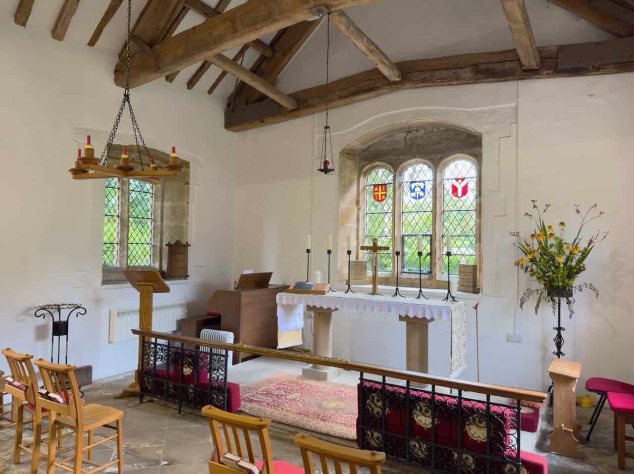
Stepping inside, I find a whitewashed interior beneath old timber roof beams, with a simple altar set below a stained glass window. After the Dissolution of the Monasteries the building served in turn as a dwelling, a court, a joiner’s workshop, and for around 140 years a village school teaching English, Greek and Latin. It was restored for worship and rededicated by the Bishop of Ripon in 1965.
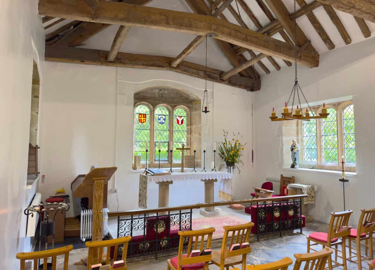
Inside the chapel I spend a few quiet minutes before pressing on. It is the oldest of the six churches in the parish and is mentioned in the Domesday Book. In 1674 Dame Mary Yorke, widow of Sir John Yorke, bought the manor of Bewerley, and a few years later the chapel was given over to use as a school, a purpose it served for many years before its restoration for worship.
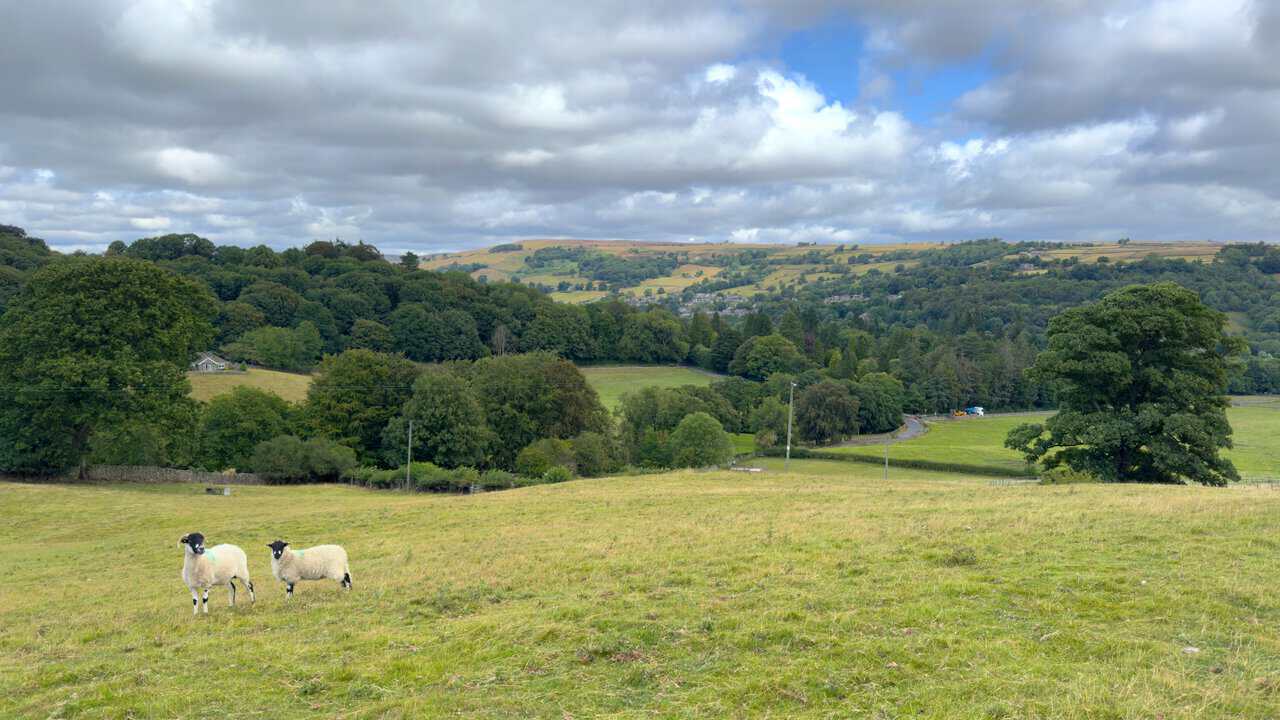
From Nought Bank Road I begin my climb up the steep grassy bank, with excellent views looking back over Pateley Bridge and the surrounding hills. A pair of sheep watch me from the field as I make my way up.
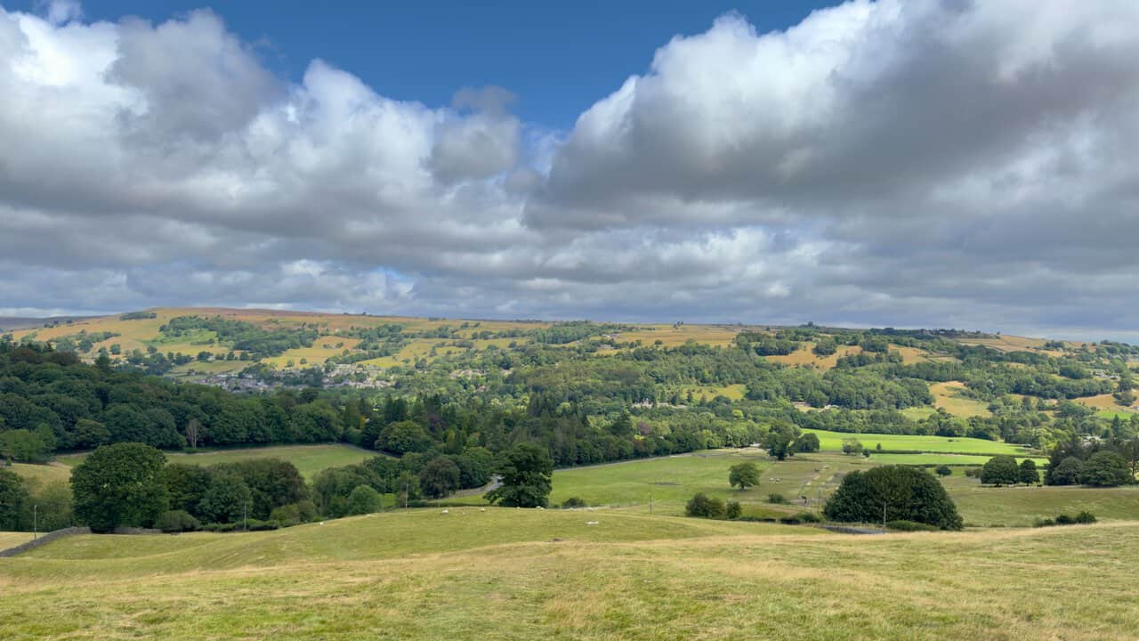
Higher up the grassy bank the views open out further, taking in the wooded valley of the River Nidd and the patchwork of fields and moorland beyond. This is one of the finest viewpoints in the early part of my Yorke’s Folly walk.
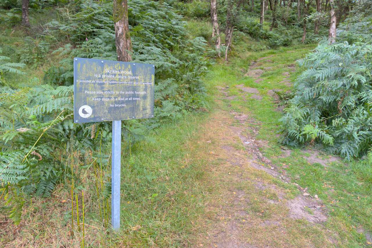
At the top I go through the gate into Skrikes Wood. A sign here explains that the wood is a private nature reserve and an important wildlife corridor, and asks walkers to keep to the public footpath, keep dogs on a lead and avoid bringing bicycles.
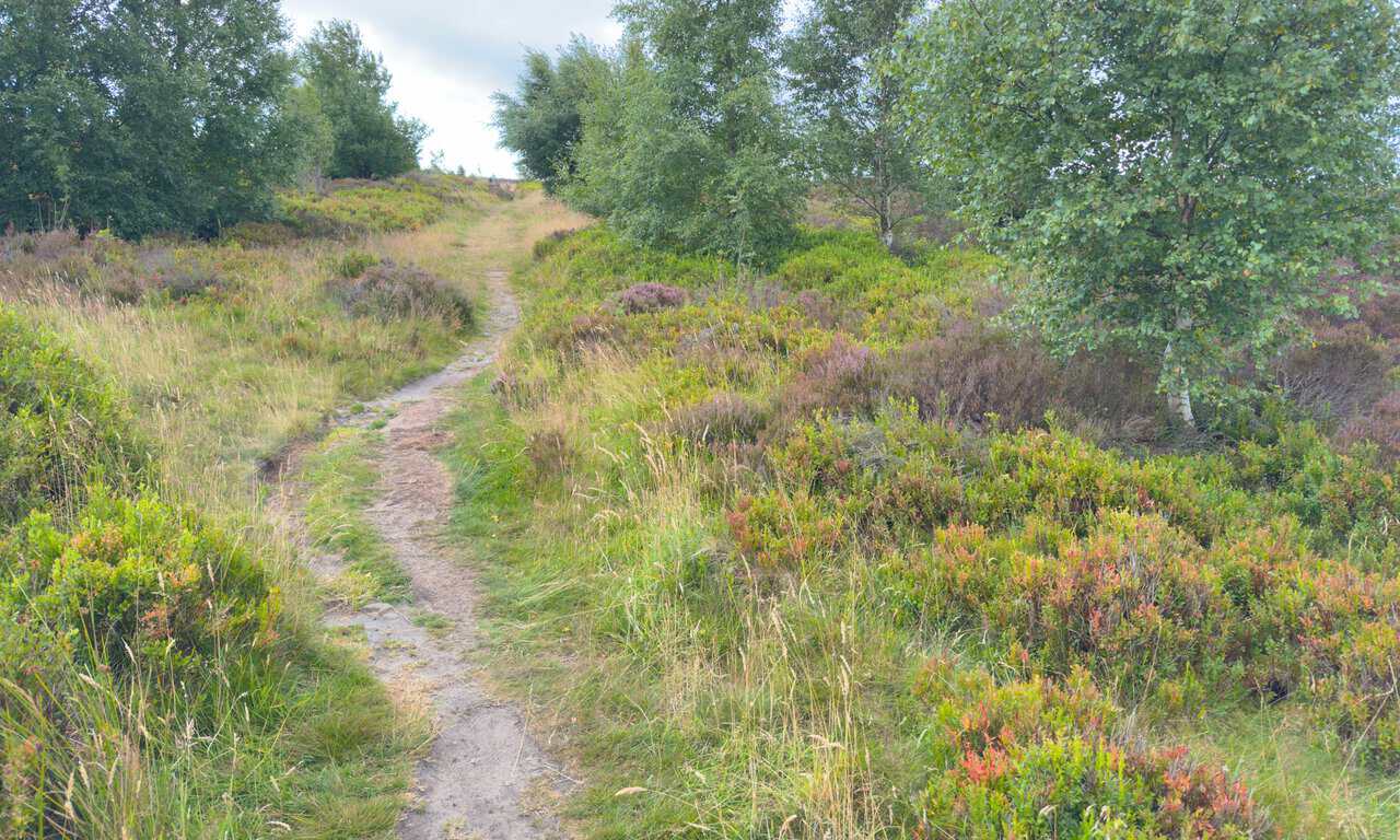
Leaving the trees behind, I continue upwards towards the heather moorland of Nought Moor. The narrow path threads its way between the heather and bilberry as it climbs, and I am now well on my way round the route.
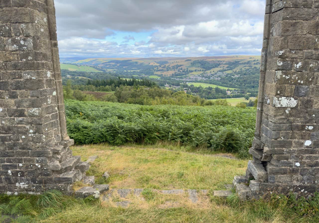
Crossing the moor, I finally reach Yorke’s Folly, the landmark that gives my Yorke’s Folly walk its name. These twin stone pillars, known locally as the Two Stoops, were built for John Yorke in the late eighteenth or early nineteenth century, designed to look like the ruined window or crossing of an old church. They are said to have been put up in part to provide paid work for local men during a time of hardship and unemployment.
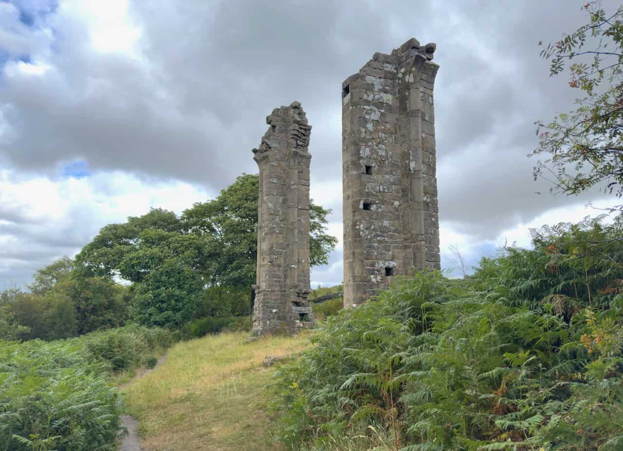
Standing before the folly, I can see how convincing the mock ruin is, even close up. There were originally three columns, and the structure was then known as the Three Stoops, but the third and largest was blown down in a storm in November 1893. Each of the surviving gritstone pillars stands around fifteen metres tall, and the folly was given Grade II listed status in 1987.
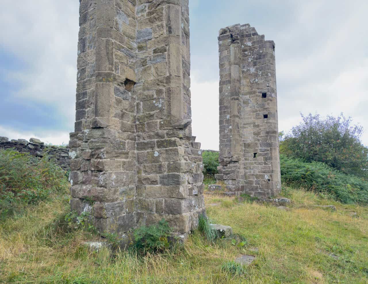
There is a bench beside the folly, and I sit for a while to take in the view. From this high point on the edge of Nought Moor, the outlook stretches right across Nidderdale and down over Pateley Bridge in the valley below. It is one of the finest viewpoints on the whole of my Yorke’s Folly walk.
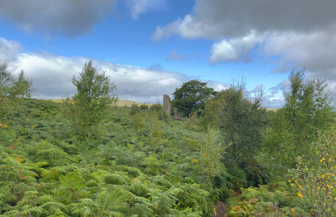
Leaving the folly behind, I look back for a last view of the Two Stoops rising above the bracken. John Yorke, who commissioned it, died in 1813 and was remembered locally for his charity and generosity, and more than two centuries on his curious “modern ruin” still watches over the dale. From here I press on across the moor towards the next stage of the route.
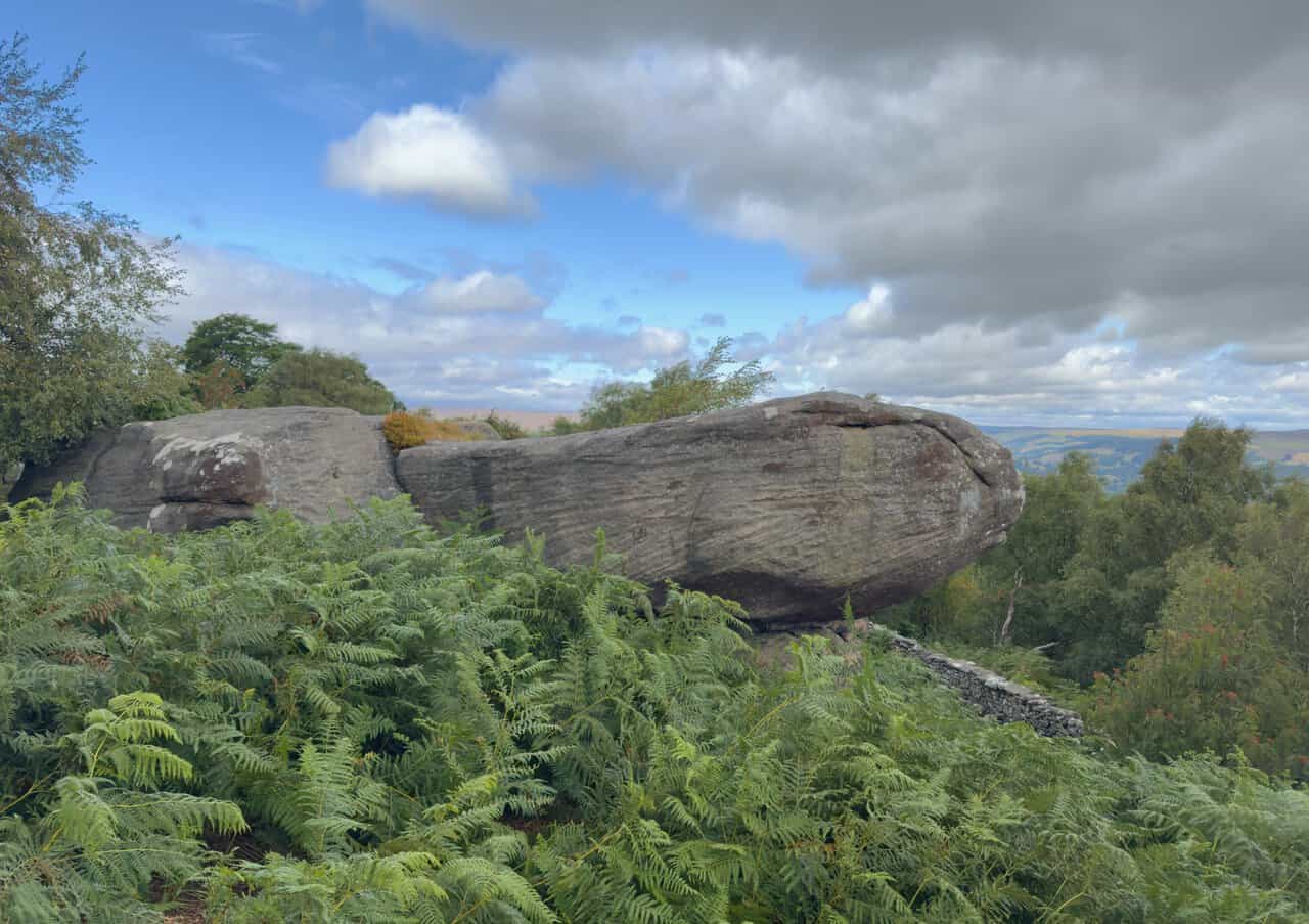
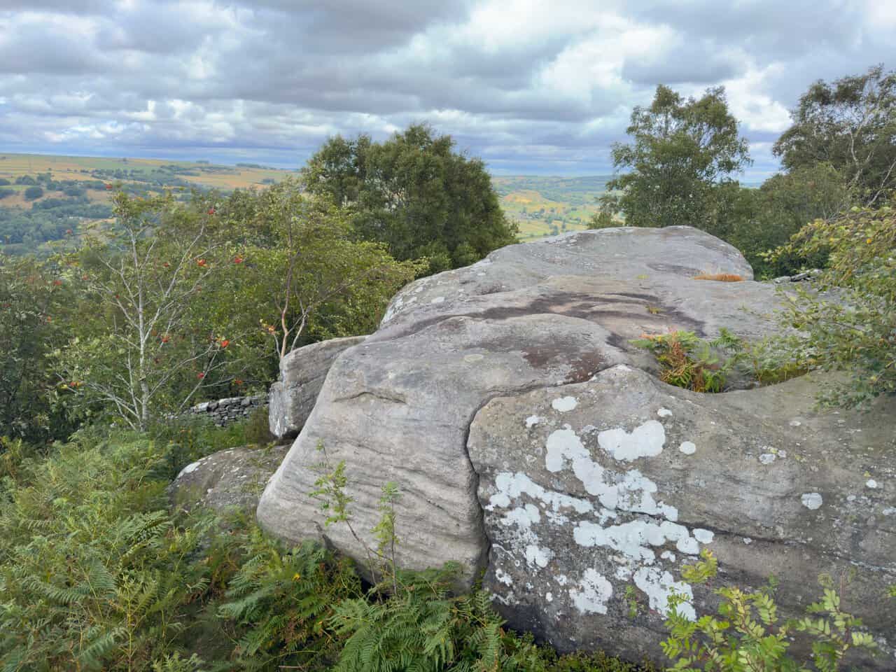
A little further along from the folly I pass a peculiar rock formation which, to my eye, resembles a turtle’s head poking out from its shell. These weathered gritstone outcrops are scattered right along this edge of the moor.
There are more rock formations here, with glimpses of the Nidderdale valley opening up beyond them and the sunlight catching the far hills. It is a fine spot to pause before I head on across the open ground.
From here a lovely path carries me across the moorland, following a high dry stone wall on my left-hand side for quite some time. The wall is a reliable guide along this stretch, keeping me on the line of the Nidderdale Way.
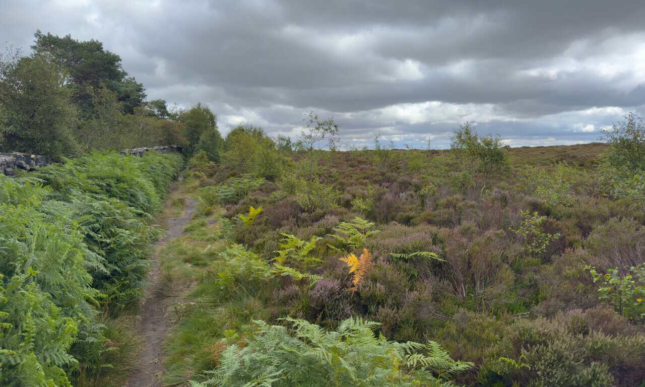
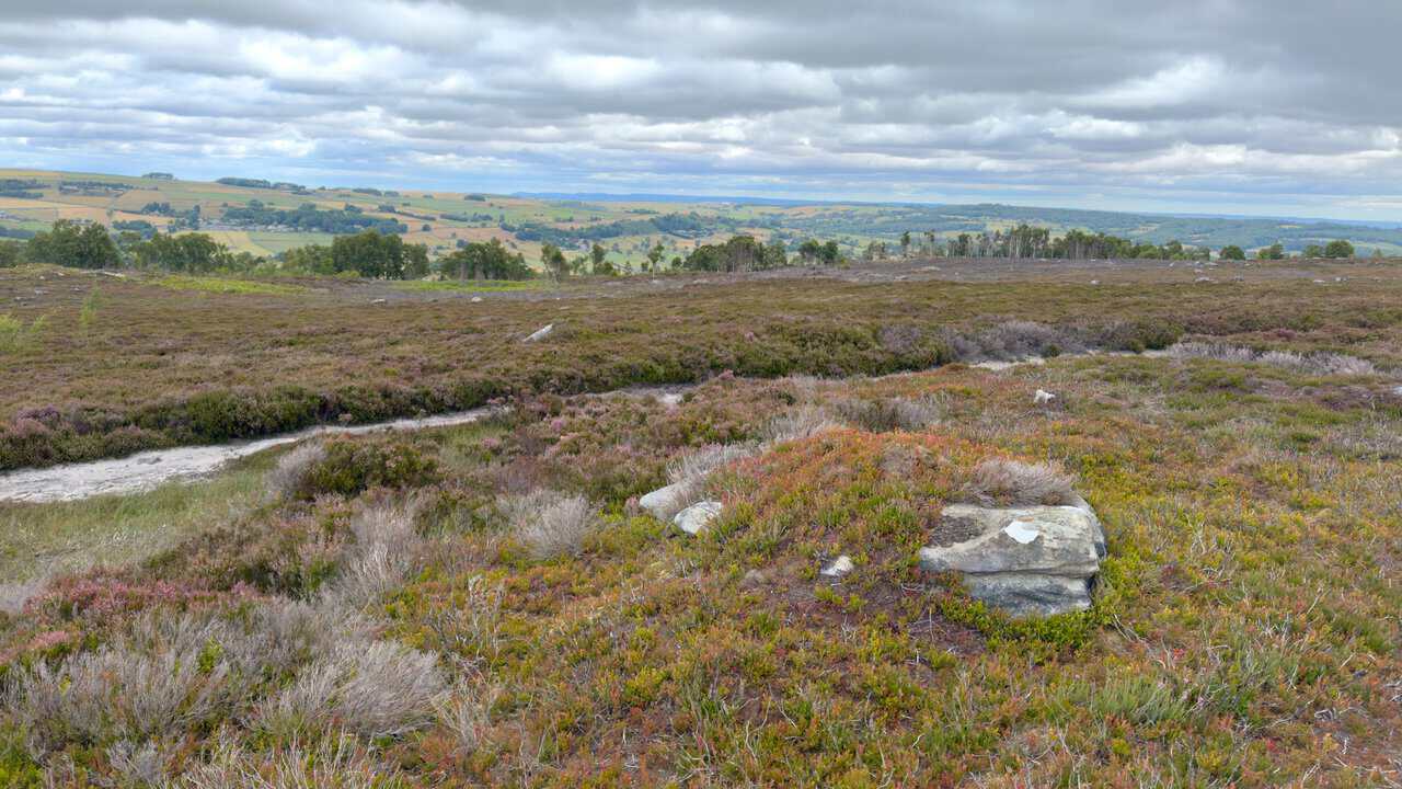
I enjoy this stretch of open moorland on my Yorke’s Folly walk, the kind of walking that blows the cobwebs away. The views are wonderful, and on a clear day like this I can even make out the faint silhouette of the North York Moors on the far horizon.
Ahead of me I reach the EE telecommunications tower, the tall mast that has been my marker across this part of the moor. It stands beside a low stone building, with the whole of Nidderdale spread out behind it.
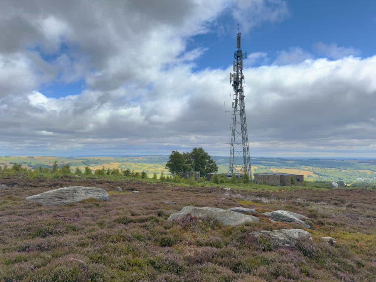
I walk past the tower and its outbuildings, one of which has a satellite dish mounted outside. From here the path continues on, taking me past the mast and onward to the halfway point of my Yorke’s Folly walk.
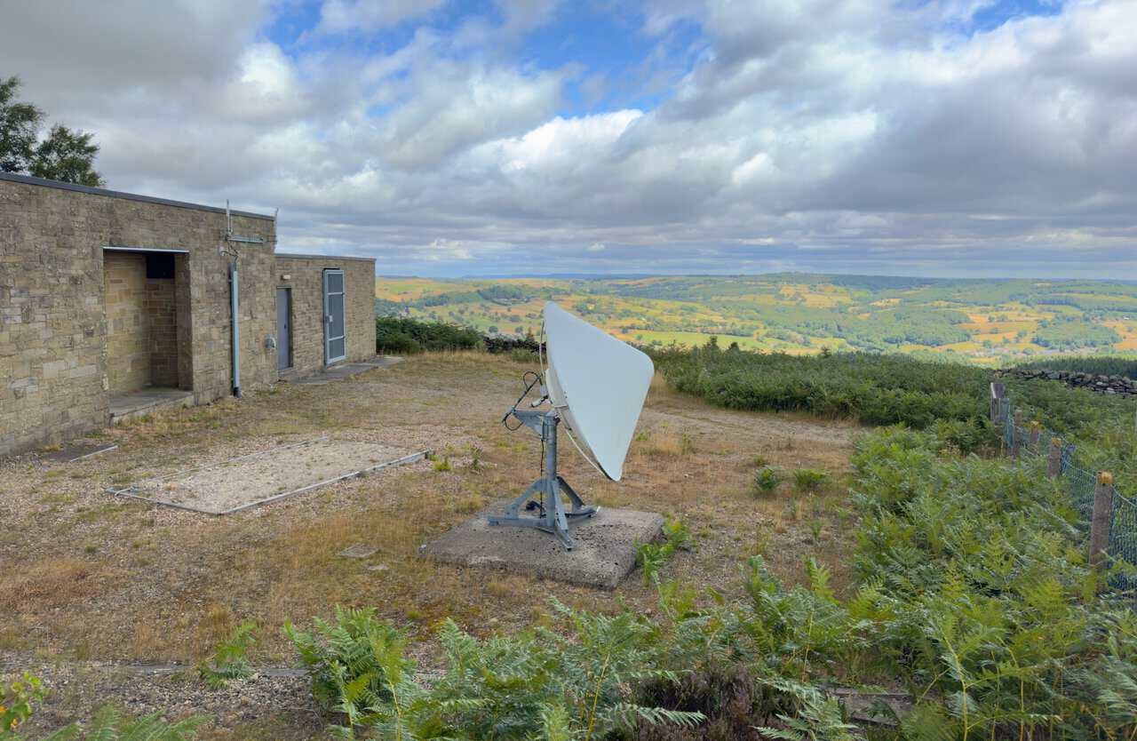
After stopping for lunch, I follow the path down the hillside and into the woodland of Guisecliff Wood. This next stretch drops steadily downhill, with a high dry stone wall on my right and fine views opening out ahead of me across the dale.
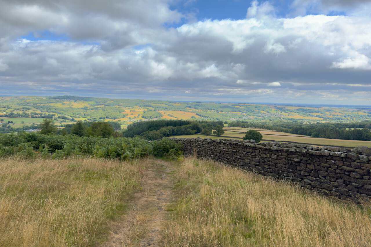
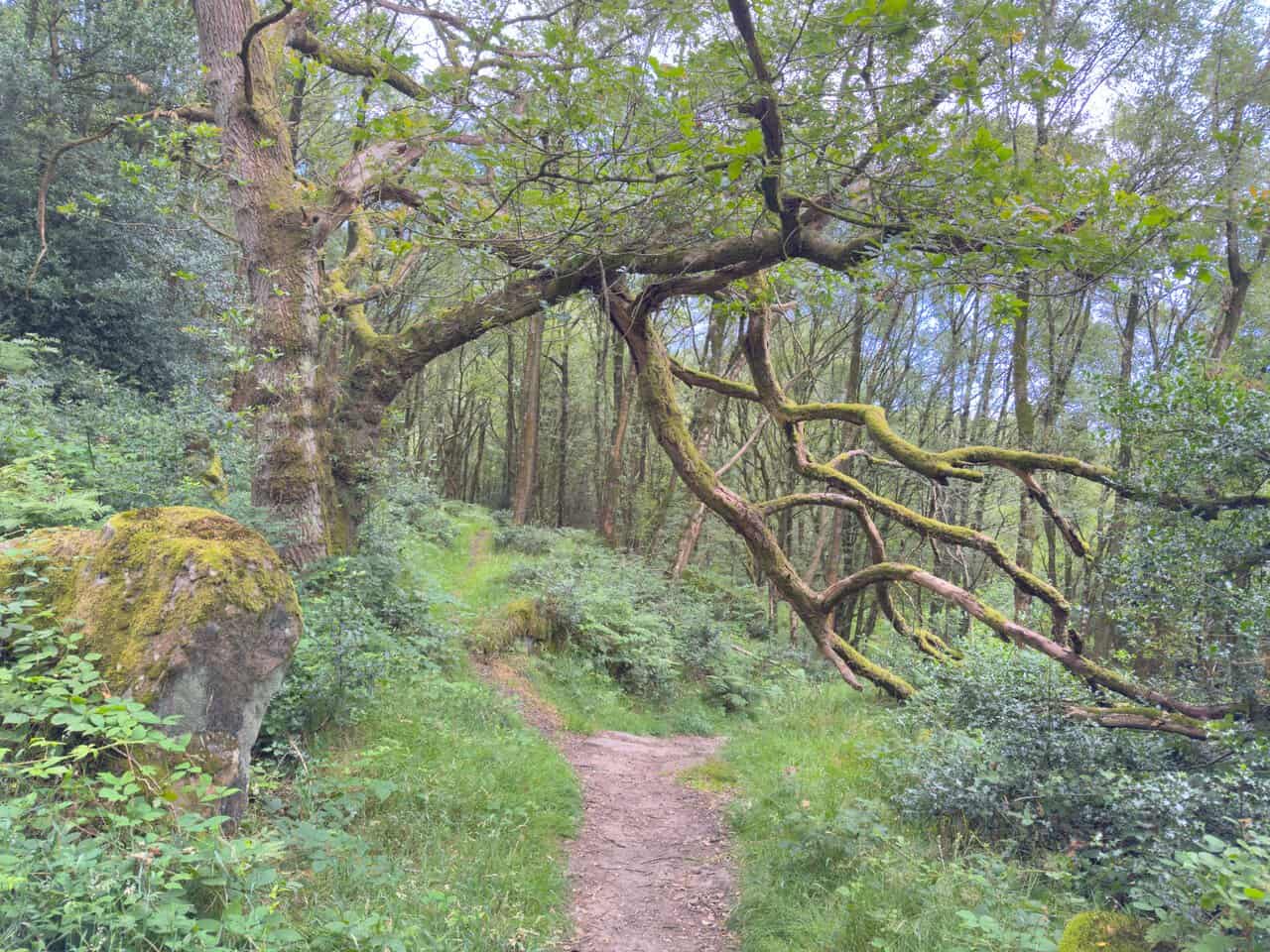
I stay on the main and most obvious path as I pass more large boulders and duck beneath a low, moss-covered tree branch arching over the way. The path is well defined and easy to follow through the trees.
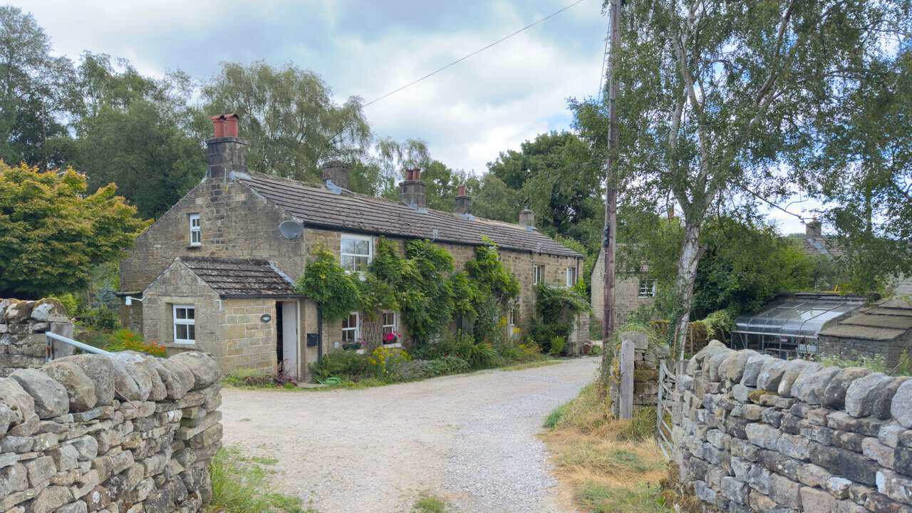
Lower down I leave the woodland of Parker Wood and continue past several stone buildings, including Curlew Cottage, Throstle’s Nest and Hollin Farm Cottage. I stay on the track as it leads gently downhill towards Glasshouses.
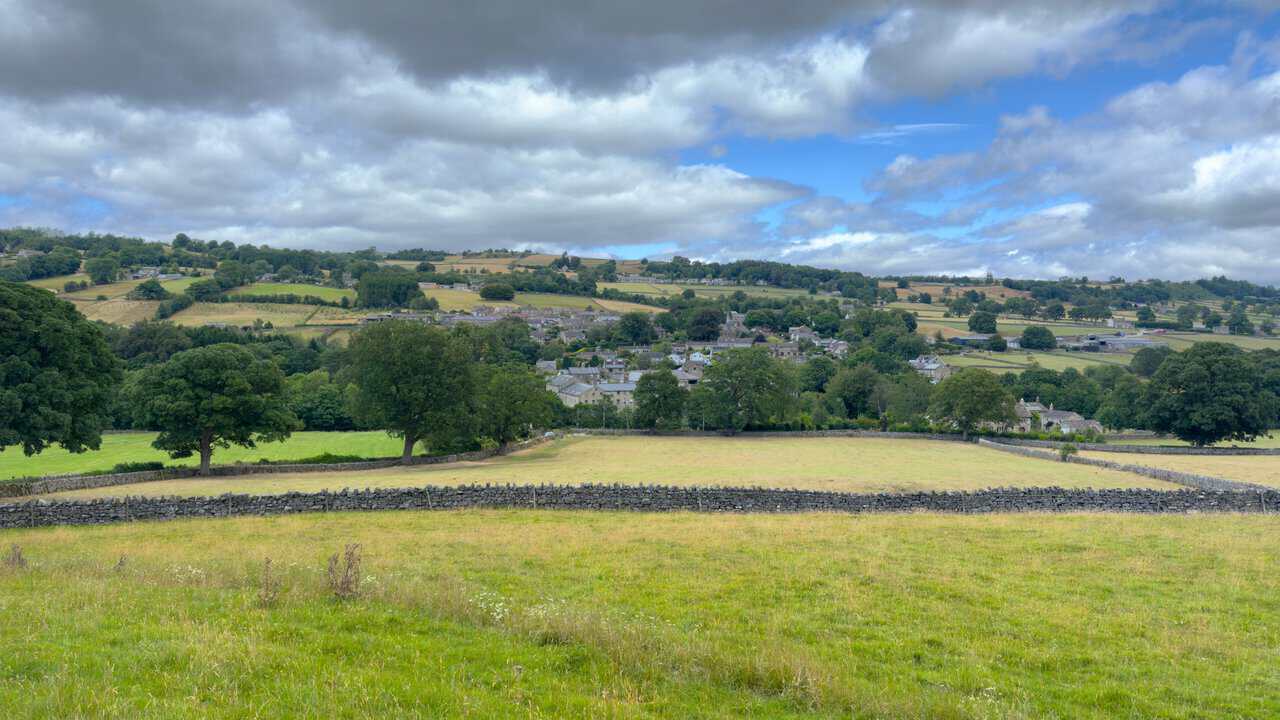
There are great views ahead as I follow the route down towards Glasshouses, the village laid out below me with its church tower rising among the rooftops. Beyond it the fields and wooded hillsides of Nidderdale climb away into the distance.
From Glasshouses Bridge I look across at Glasshouses Mill. Built between 1812 and 1814 to spin flax on the site of an older corn mill, it later turned to hemp and then to rope and twine before closing in 1972, and it has since been converted into homes.
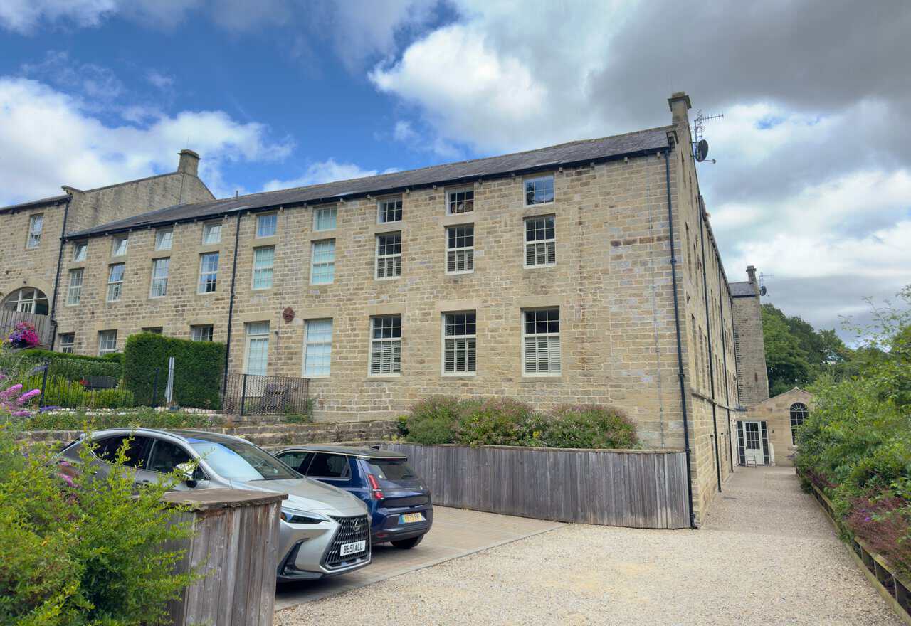
As I follow the Six Dales Trail, I catch sight of the EE telecommunications tower up on the hillside where I had been walking earlier. It is a good reminder of just how far my Yorke’s Folly walk has taken me around the dale.
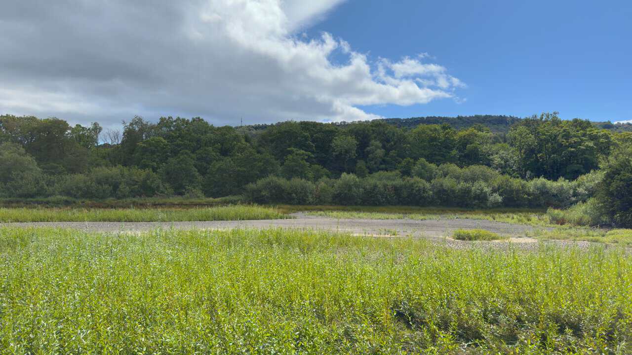
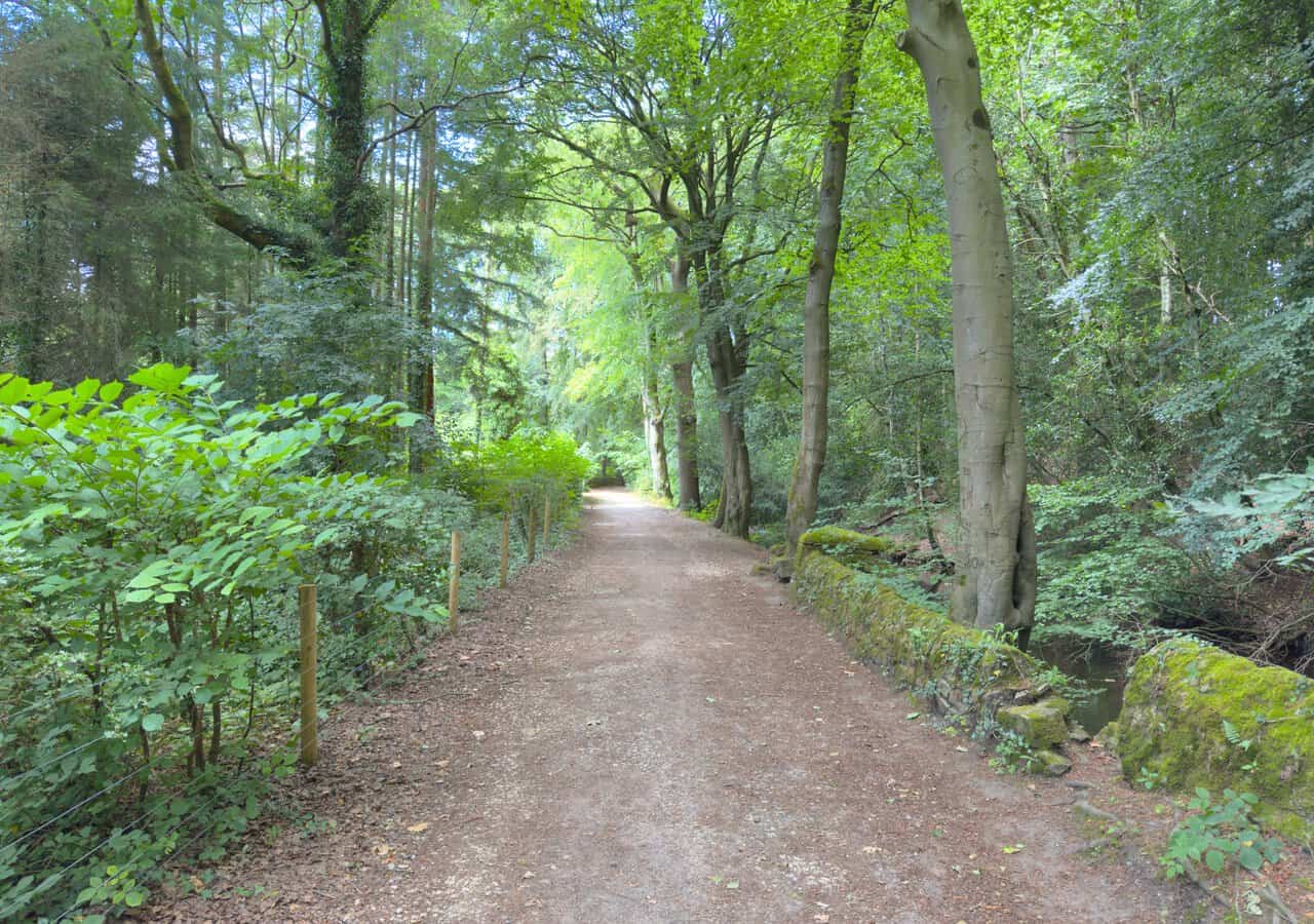
After Glasshouses I join a path alongside the River Nidd. It is flat and easy going for the rest of the way, a gentle riverside finish along good level paths.
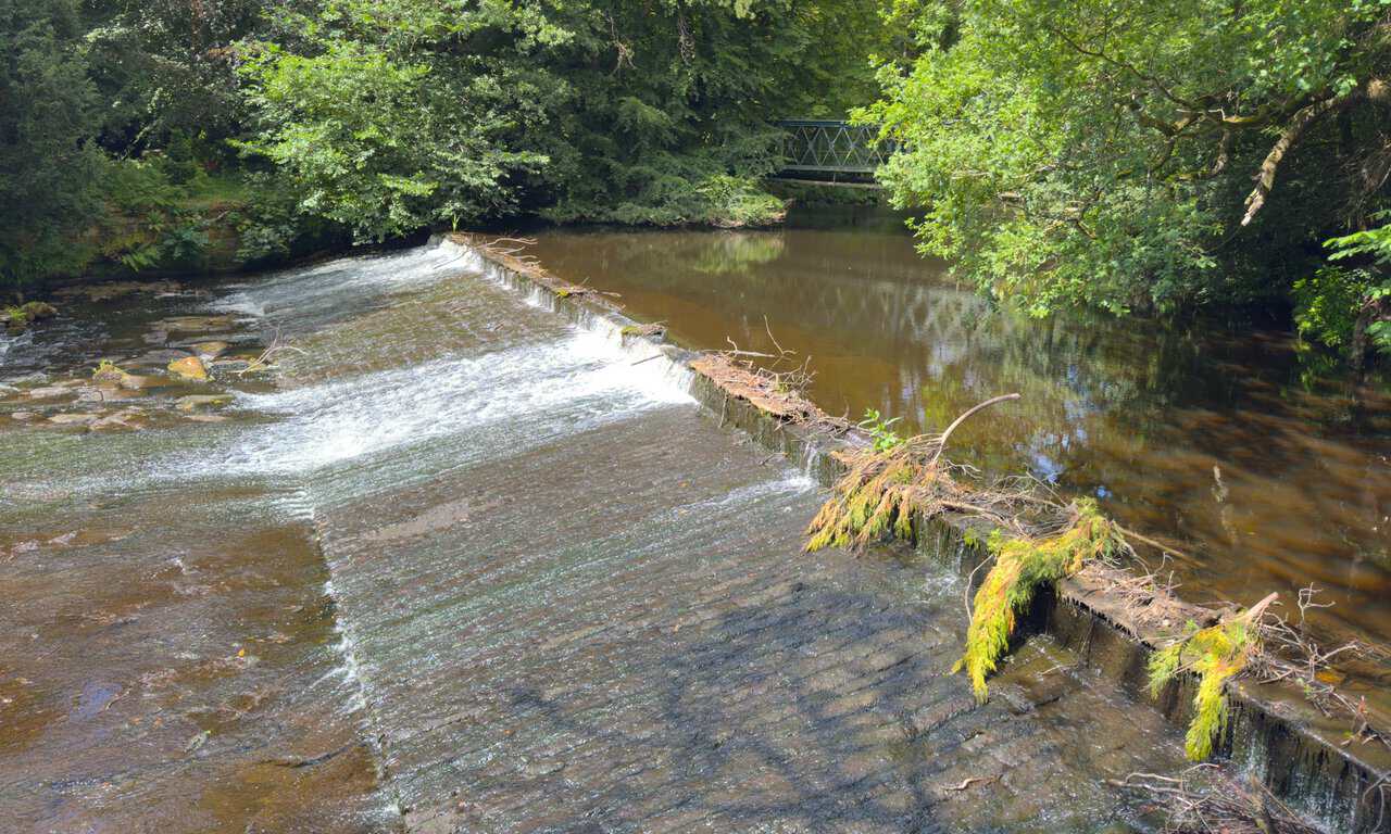
Following the Six Dales Trail, I come to a weir on the River Nidd, its water sliding over the stone lip in a broad, smooth sheet. A footbridge crosses the river just beyond it, framed by the trees on the far bank.
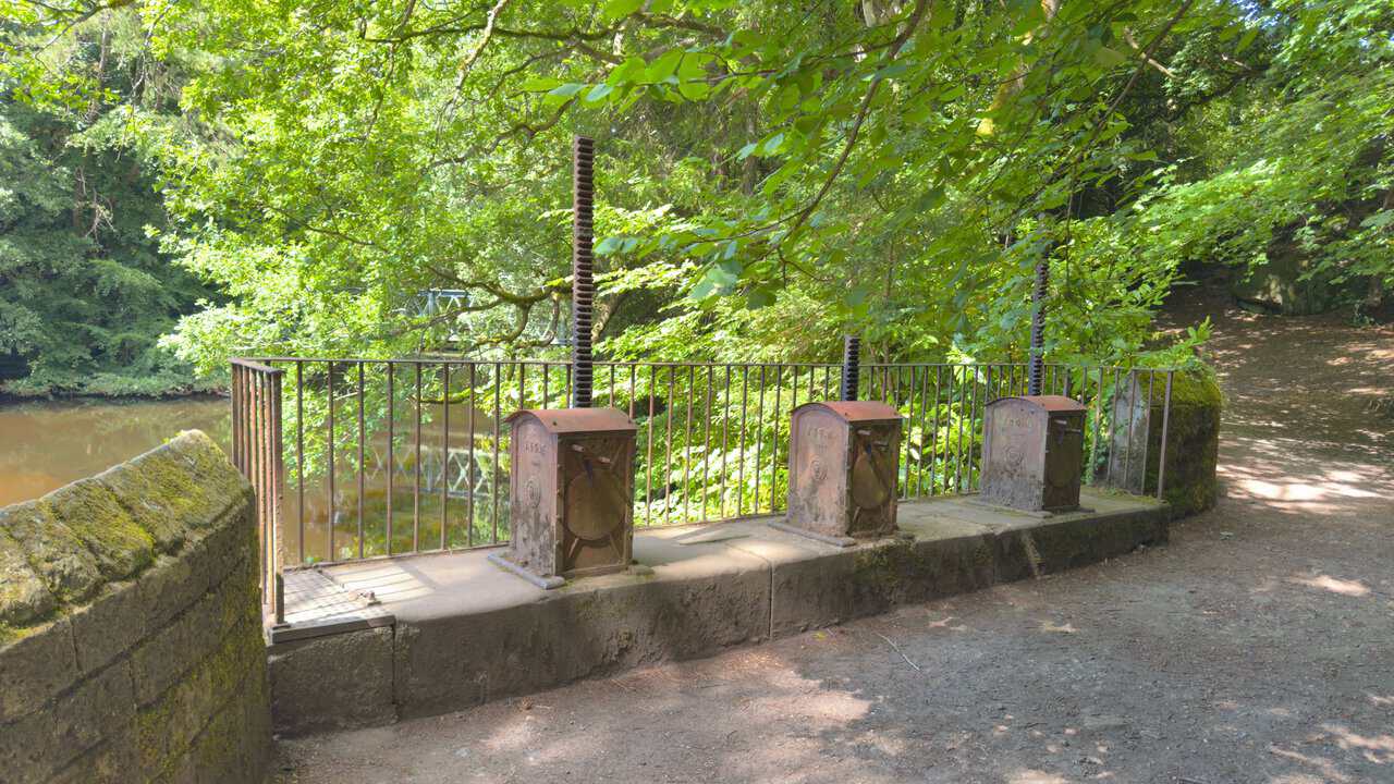
Beside the weir stand three old cast-iron mechanisms, each with an upright screw thread rising from a boxed casing. These are sluice gear, once hand-wound to raise and lower gates that controlled how much water was drawn from the river into the leat, the channel that carried it down to the mill dam at Glasshouses.
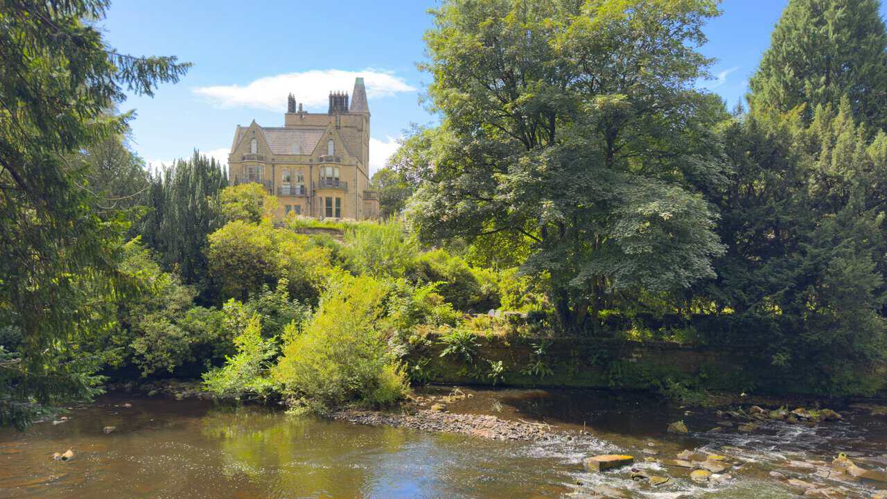
Above the River Nidd, seen from near the weir, stands a wonderful grand and turreted house, which the map marks as Castlestead, looking out over the water from among the trees. It makes a fine sight on this closing stretch of my route round Nidderdale.
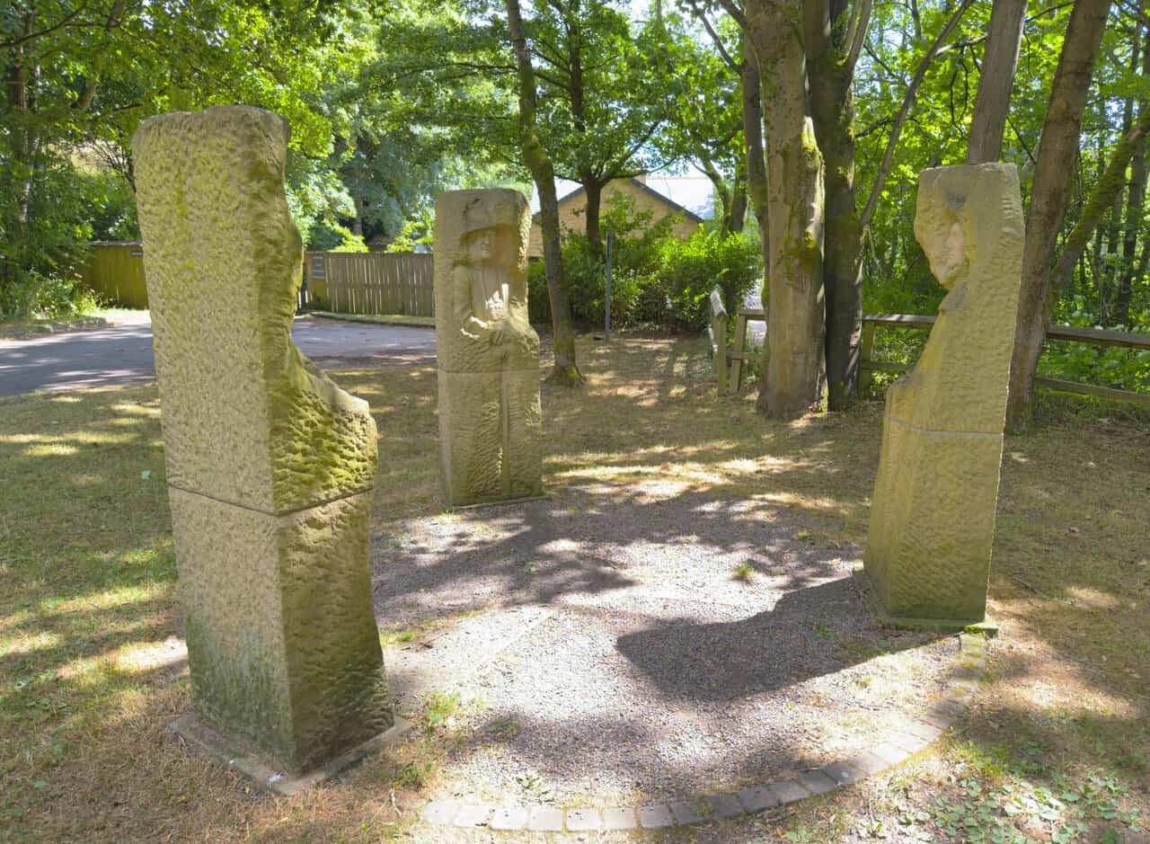
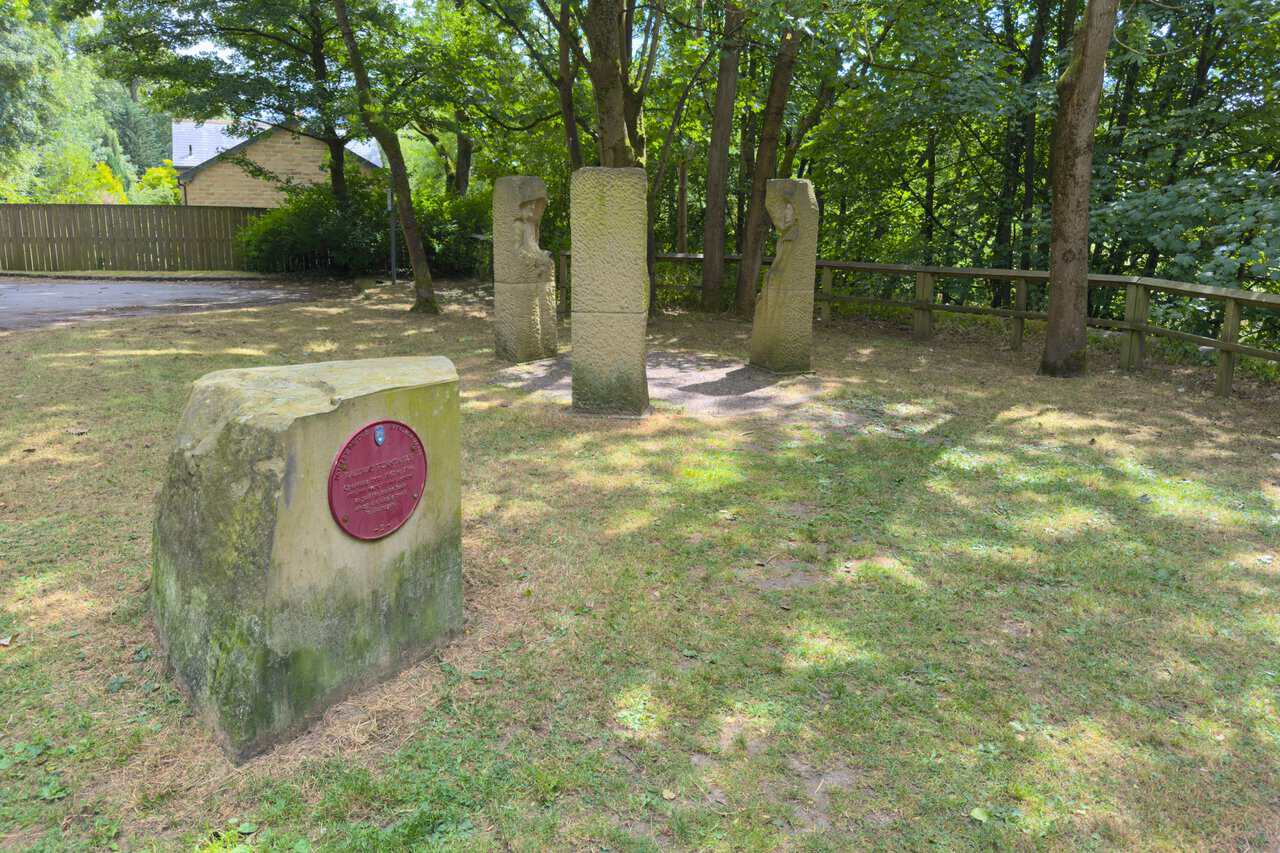
Back in Pateley Bridge, I reach Pillars Past, a stone sculpture set just off the riverside path. Carved by Joseph Hayton and commissioned by Sustrans, it forms part of the Passing Places art trail along the Way of the Roses coast-to-coast cycle route, which runs between Morecambe and Bridlington. The work is made up of three figures arranged in a circle, each emerging from a block of Yorkshire sandstone and representing part of the history that shaped Nidderdale.
The first figure is the lead miner. Lead mining in the dale dates back to Roman times and was a mainstay of the local economy until around the 1890s, when cheap imports brought extraction to an end. The carved miner was modelled on Paul Reinsch, who has helped to restore the old mines at Greenhow.
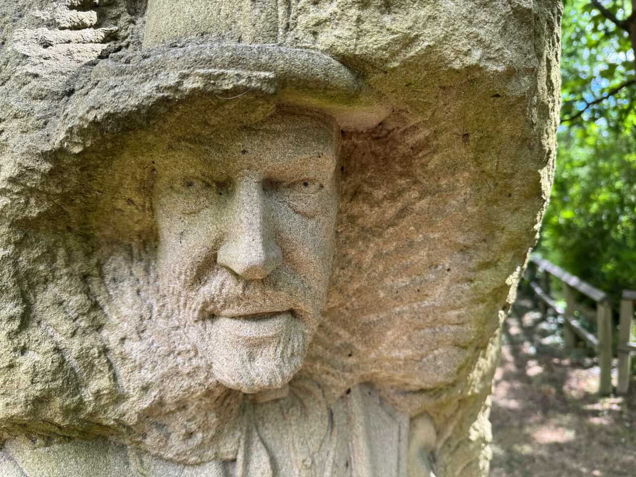
The second figure is the monk, a reminder of the monastic past that once shaped this landscape. Fountains Abbey and Byland Abbey held large estates across Nidderdale from around 1200 until the Dissolution of the Monasteries, and the Archbishop of York once owned the township of Pateley Bridge. Fittingly, the monk was modelled on John Hayton, the sculptor’s own father.
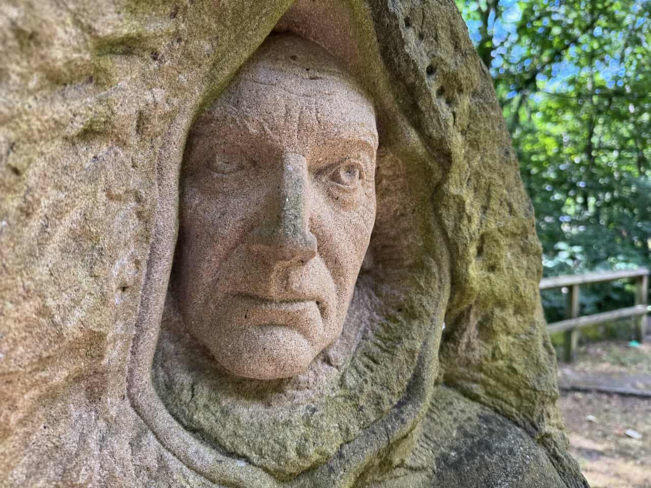
The third figure is the farmer, representing the sheep farming that has been central to Nidderdale since medieval times, when the abbeys ran substantial granges here. Sheep still dominate the land today, and this figure was based on John Rayner, a farmer whose land at Gouthwaite was established around 1200 and once supplied produce to Fountains Abbey.
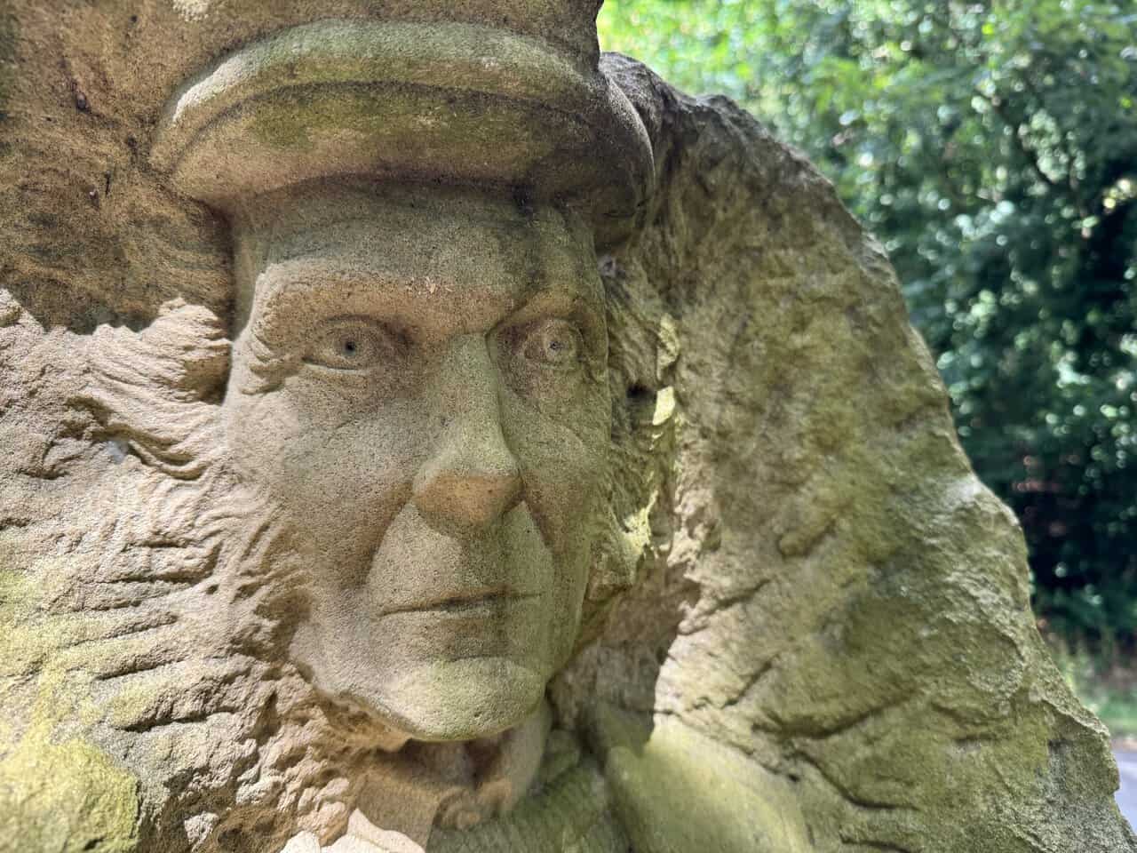
Just beyond the sculpture I pass the site of the old railway turntable. It operated from 1862 to 1964, turning locomotives around so they could haul trains back down the single-track line towards Harrogate. From here it is only a short step back towards the bridge.
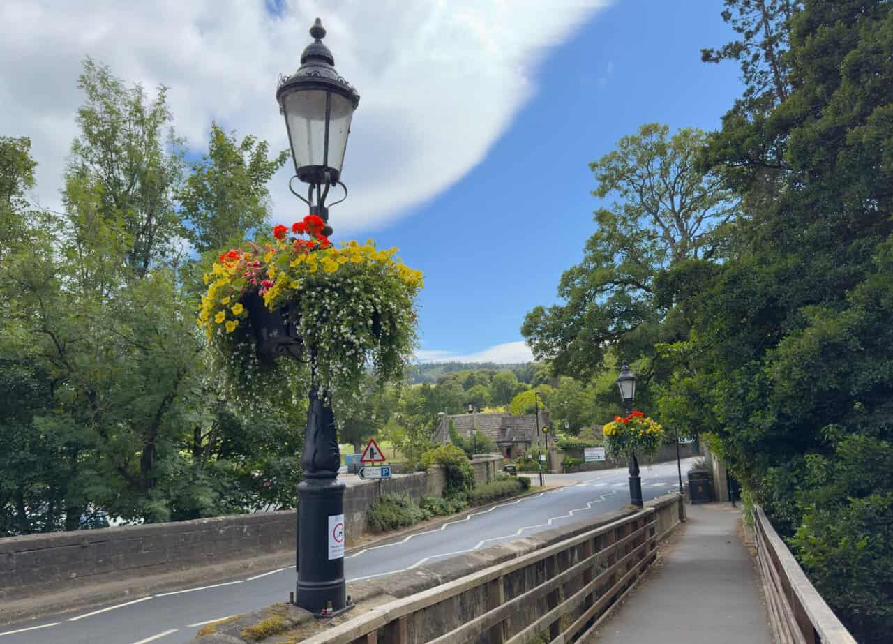
I cross back over the bridge spanning the River Nidd, its cast-iron lamp posts brightened by tumbling baskets of red and yellow flowers. Ahead of me the road leads back into Pateley Bridge, with the wooded hills of Nidderdale rising beyond.
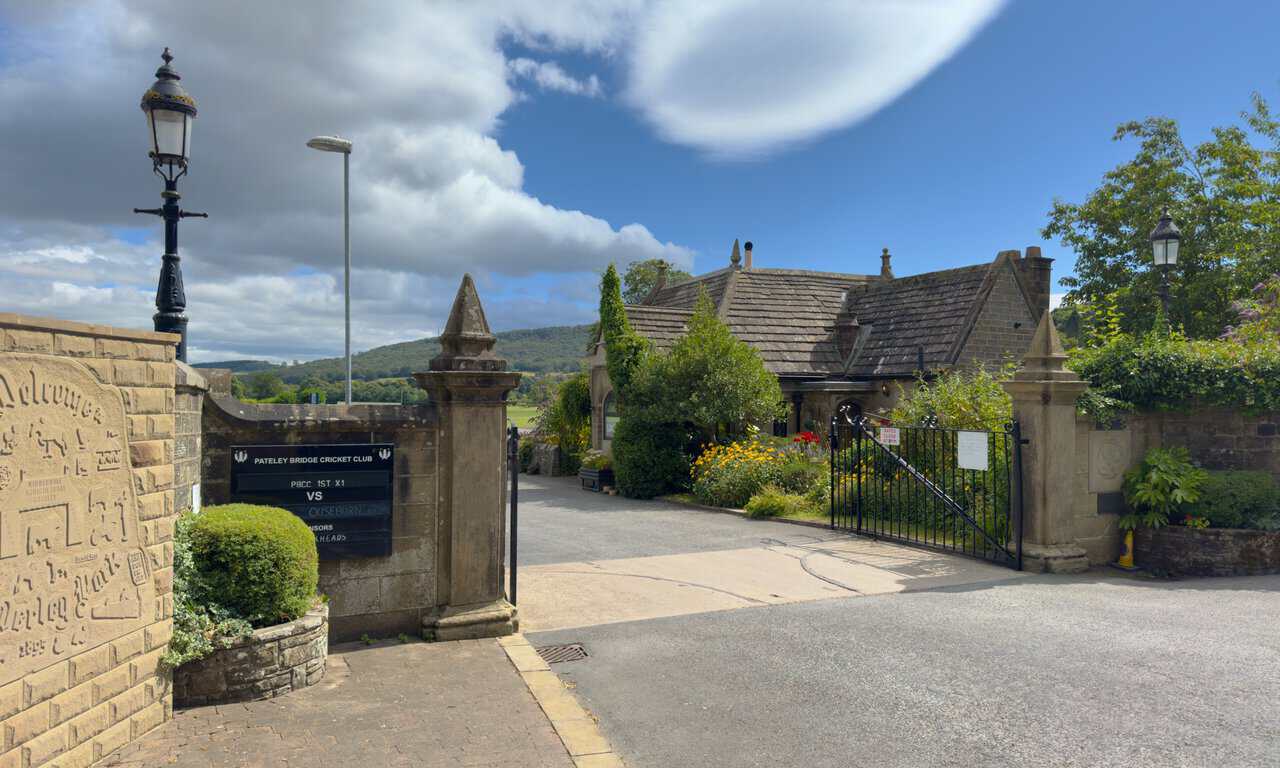
Finally I reach the entrance to the Nidderdale Agricultural Society car park, where a handsome gated entrance stands beside the stone building known as The Lodge. This is where my Yorke’s Folly walk began, and it makes a fitting place to end a fine day out in Nidderdale.