Summiting Eight Wainwrights on the Coledale Horseshoe Walking Route
Begin your Coledale Horseshoe walk by parking on the minor road near the A66, opposite Braithwaite. Embark on your journey by crossing the A66 and progressing west into the village. Then, start your ascent south-west uphill, covering a 2½ mile journey to Grisedale Pike’s summit via Sleet How.
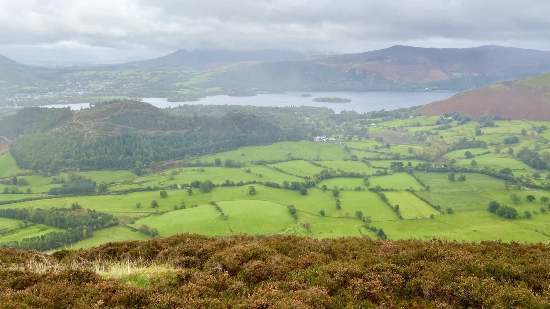
Keep moving south-west, navigating around the top of the Hobcarton Crag ridge. Your next destination is the summit of Hopegill Head. Afterwards, proceed south over Sand Hill’s top. Descend to Coledale Hause, savouring the amazing views through the Coledale Beck valley towards Keswick, and the Skiddaw and Blencathra mountain ranges.
Venture further south across Wandope Moss. Continue southward, traversing Whiteless Edge. Aim for the summit of Whiteless Pike, a highlight of the Coledale Horseshoe walk, offering fantastic views down to Crummock Water. Retrace your steps north-east to reach Wandhope’s peak. Navigate around the top of Addacomb Hole and ascend to Crag Hill, the highest point of the Coledale Horseshoe.
Head east along The Scar towards the summit of Sail. Then, descend north-east towards High Moss. The subsequent part of your Coledale Horseshoe walk leads to Outerside’s summit. Maintain your path, skirting the southern side of Stile End towards Barrow Door, and then ascend to Barrow’s peak.
Conclude your Coledale Horseshoe walk by returning to Braithwaite via Braithwaite Lodge. This 12-mile journey, taking in 8 Wainwrights, is challenging but ultimately rewarding. An amazing ridge walk around the top of the Coledale Beck valley, enhanced with bonus peaks at Whiteless Pike and Wandhope, awaits all walkers.
Coledale Horseshoe: Maps and Tools
Visit either the OS Maps website or the Outdooractive website to view this walking route in greater detail. Both platforms offer a range of features, including the ability to print the route, download it to your device, and export the route as a GPX file. You can also watch a 3D fly-over and share the route on social media.
Coledale Horseshoe: Distance, Duration, Statistics
Distance: 12½ miles
Distance: 19¾ kilometres
Duration: 7½ hours
Ascent: 4878 feet
Ascent: 1487 metres
Type: Circular walk
About the Coledale Horseshoe
The Coledale Horseshoe, also known as the Coledale Round, represents a picturesque semi-circle of fells cradling Coledale in the beautiful landscape of the Lake District. It is a fantastic route that offers ridge-walking fans an unrivalled opportunity to appreciate the magnificence of the fells.
The topographical layout of the Coledale Horseshoe provides walkers with a variety of route options, enabling them to incorporate additional peaks into their journey. The fells create a horseshoe-shaped layout around the Coledale Beck valley, with Grisedale Pike marking the northernmost point. The route stretches around through Hopegill Head, descends to the pass of Coledale Hause, and ascends to the impressive heights of Eel Crag (referred to as ‘Cragg Hill’ on Ordnance Survey maps) and Sail.
To the south, the ridge divides into two separate paths, with Scar Crags and Causey Pike forming the outer ridge, while Outerside and Barrow compose an inner ridge. Alfred Wainwright, the famous British fell-walker, writer and illustrator, described this as ‘a lower and parallel ridge like an inner balcony’.
With no definitive version of the round, the Coledale Horseshoe offers flexibility and variability to its walkers. A prime example is the Coledale Horseshoe fell running race that incorporates Grisedale Pike, descends to Coledale Hause, ascends, and covers Eel Crag, Sail, Outerside and Barrow, making it the most concise version of the horseshoe.
The southern ridge also provides an alternative route over Scar Crags and Causey Pike as opposed to the inner ridge over Outerside and Barrow. This stretch, from Eel Crag to Causey Pike, was praised by Wainwright as ‘a grand ridge walk … an excellent ridge-walk’ and is distinguished as one of his top ten ridge walks.
For those seeking a more challenging walk, the peaks of Grassmoor, Whiteless Pike, and Wandope are conveniently located on the western side of the horseshoe, presenting attractive detours.
On my particular walk of the Coledale Horseshoe, I opted to forego Grassmoor but added the summits of Whiteless Pike and Wandope to my itinerary. These peaks are situated to the south-west of Eel Crag, offering a different perspective of the ridge. Furthermore, I chose to traverse the inner ridge.
This journey meant that I tackled eight of the Wainwrights, which are as follows: Grisedale Pike, Hopegill Head, Whiteless Pike, Wandope, Eel Crag, Sail, Outerside, and finally Barrow. Each peak presented its own challenges and rewards, making this version of the walk an exciting and fulfilling endeavour.
Recommended Ordnance Survey Map
The best map to use on this walk is the Ordnance Survey map of the Lake District North-Western Area, reference OS Explorer OL4, scale 1:25,000. It clearly displays footpaths, rights of way, open access land and vegetation on the ground, making it ideal for walking, running and hiking. The map can be purchased from Amazon in either a standard, paper version or a weatherproof, laminated version, as shown below.
Standard Version
Coledale Horseshoe: My Photos
The view down to Braithwaite from the hill on the western side of the village.
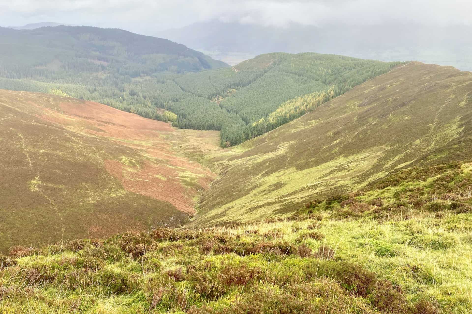
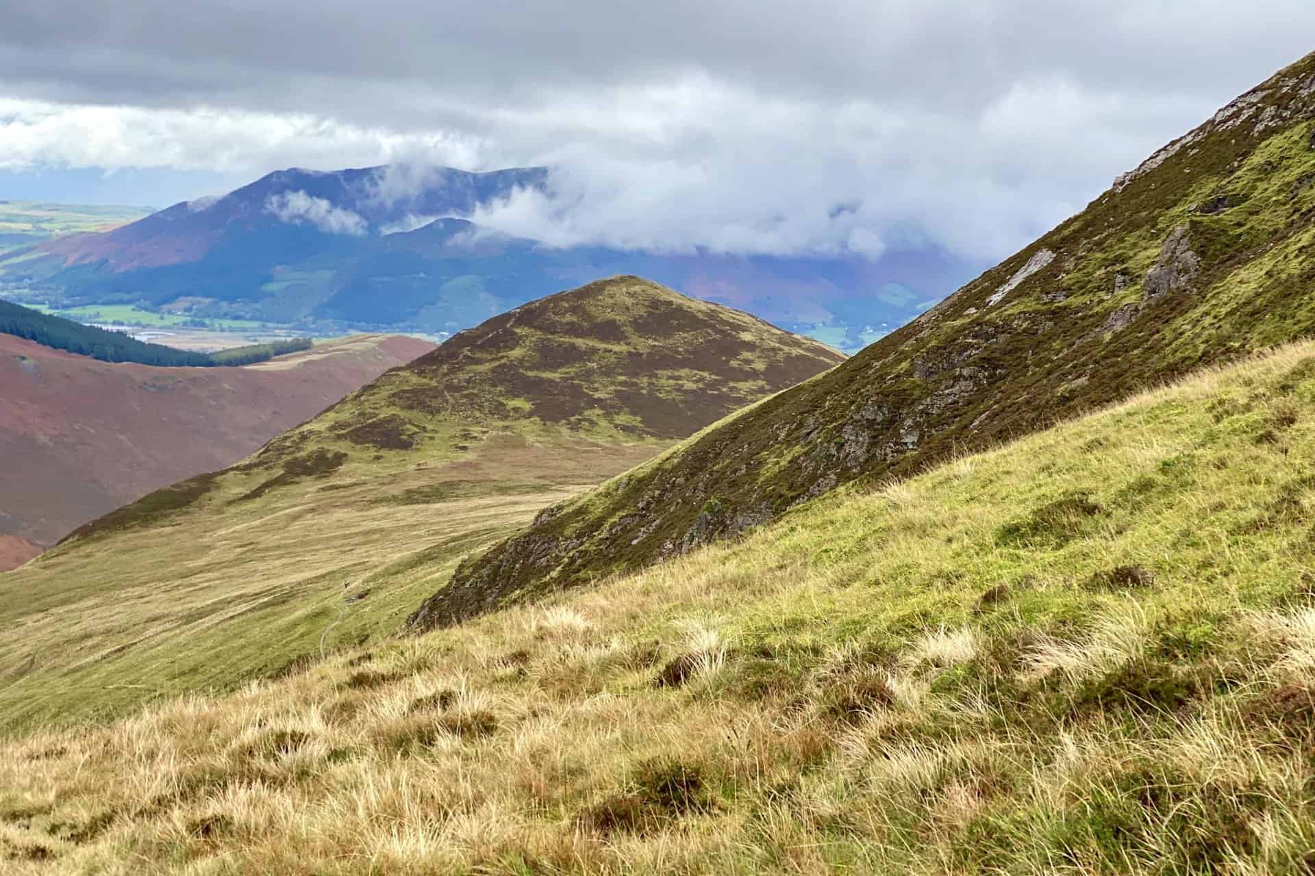
Looking south-east from Sleet How over to Outerside (foreground) and Causey Pike (background).
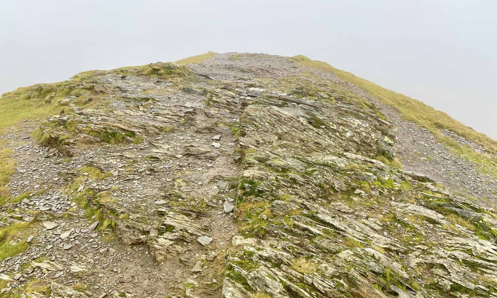
The steep path to the top of Grisedale Pike.
Hospital Plantation and Thornthwaite Forest (Whinlatter Forest Park).
The summit of Grisedale Pike, height 791 metres (2595 feet).
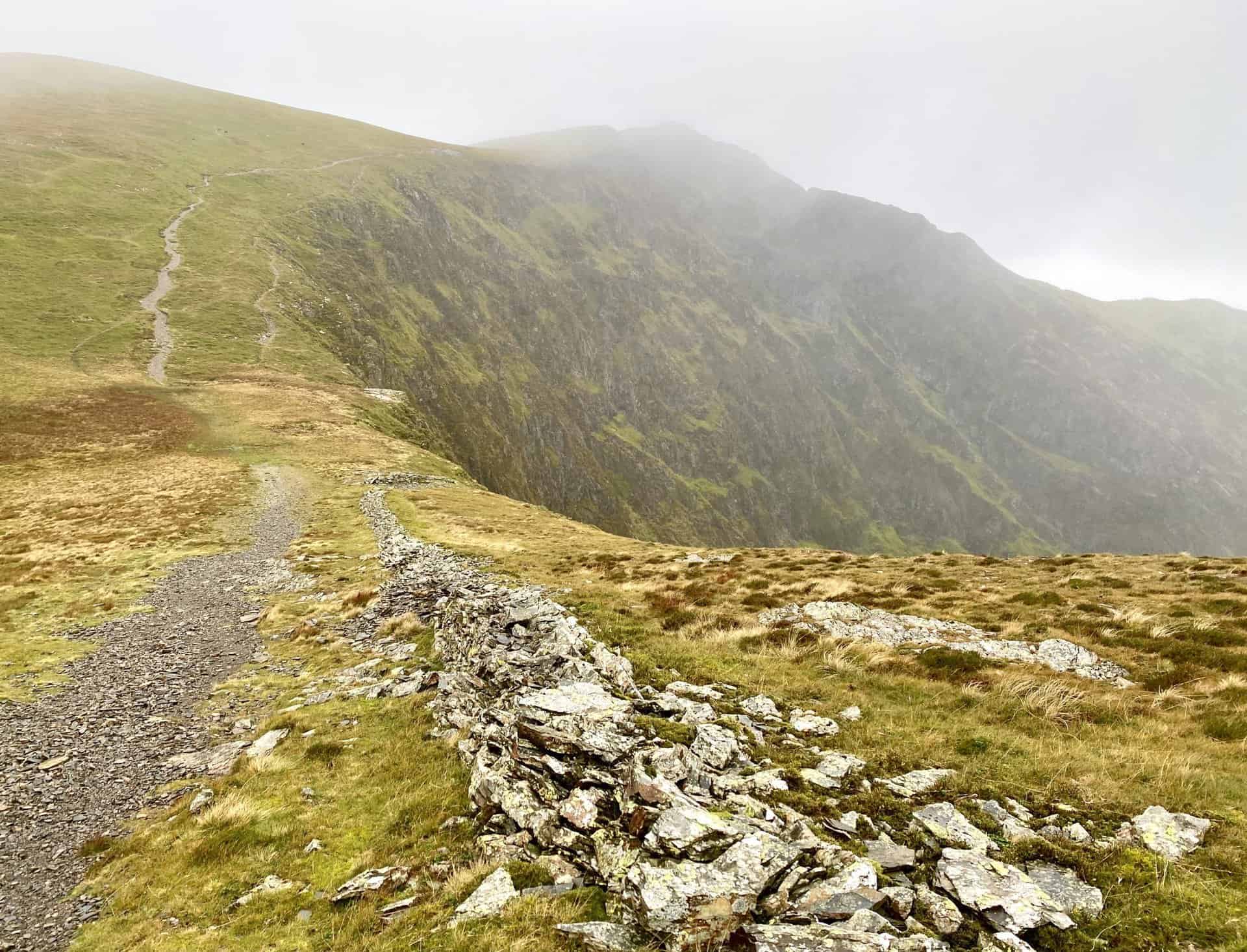
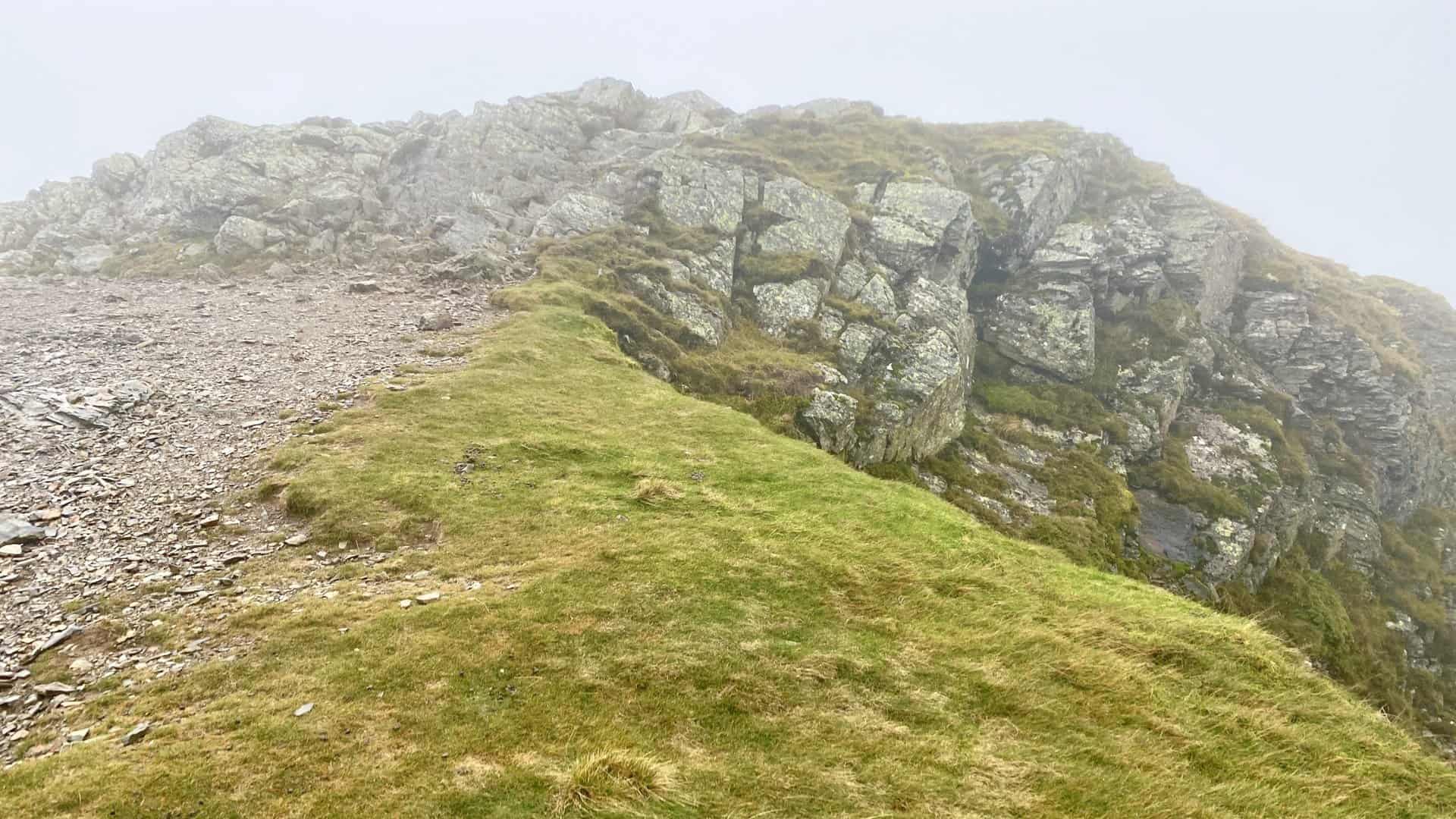
I reach Hobcarton Head between Grisedale Pike and Hopegill Head.
The rocky slopes of Hobcarton Crag and the path leading to Hopegill Head.
The summit of Hopegill Head, height 770 metres (2526 feet).
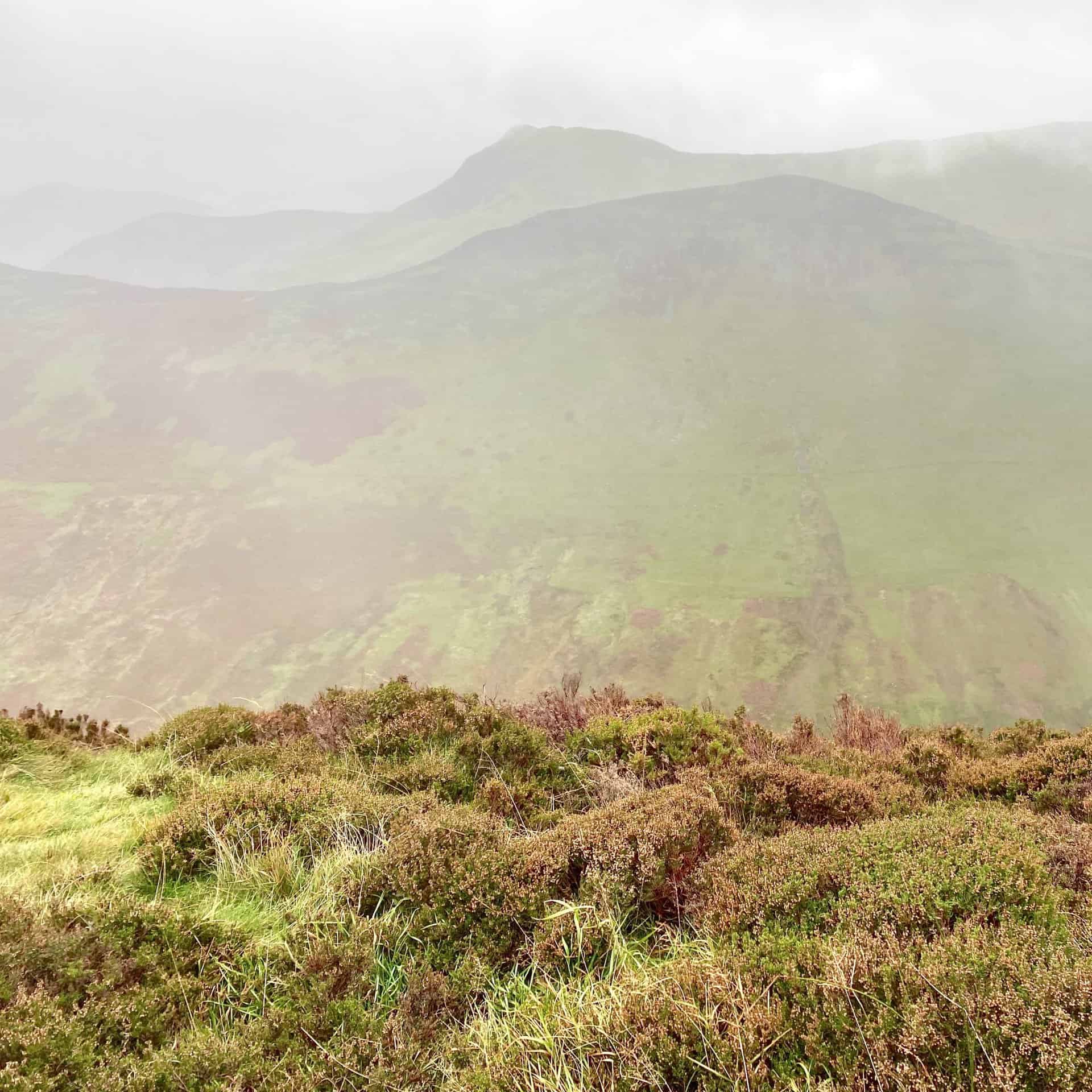
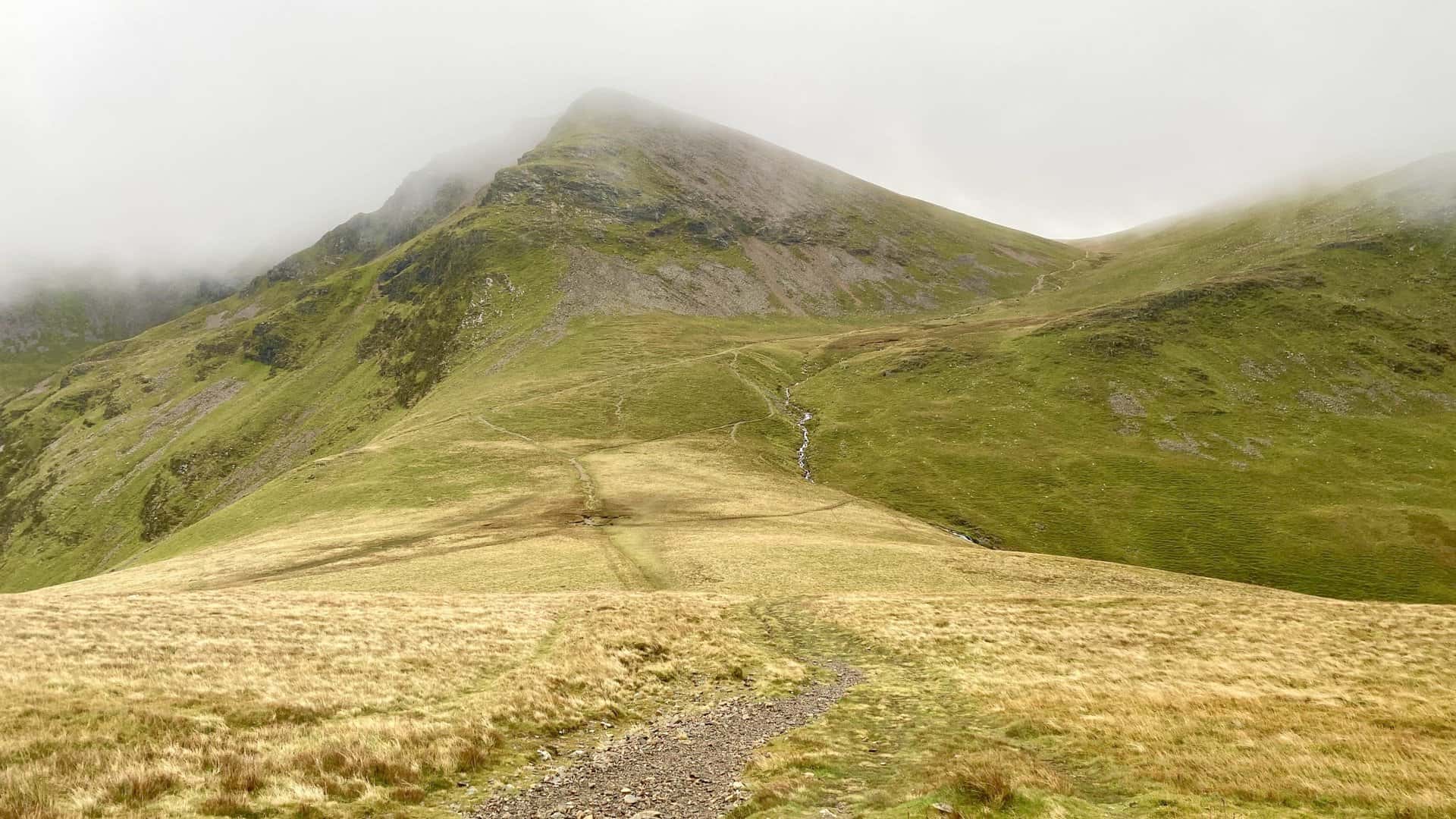
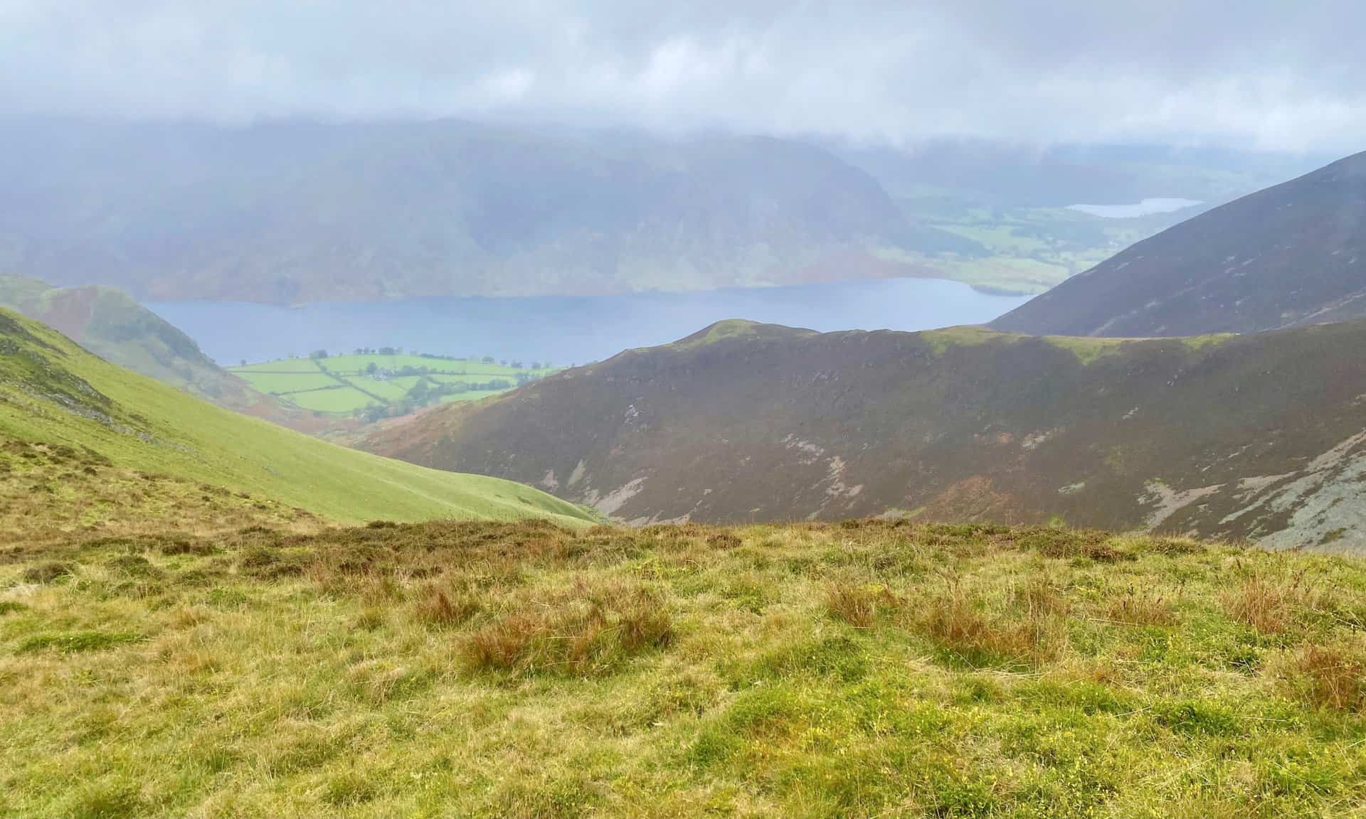
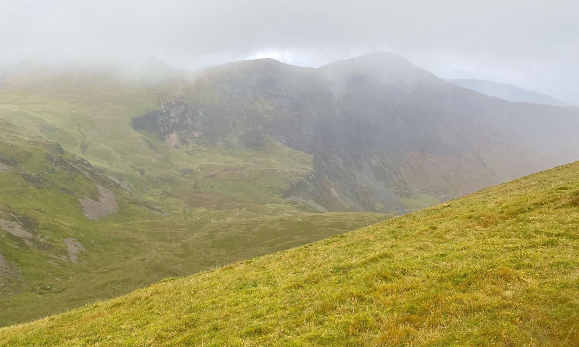
The fog clears briefly and I get a view of the magnificent Eel Crag as I descend the southern flanks of Sand Hill. The col or saddle seen here between Sand Hill and Eel Crag is Coledale Hause, and although there are a few paths which can be confusing in mist it is a straightforward crossroads:
- Right (west) down through Gasgale Gill to reach Crummock Water.
- Left (east) into the Coledale Beck valley and on to Braithwaite.
- Straight on to get to Grasmoor, Crag Hill or Whiteless Pike.
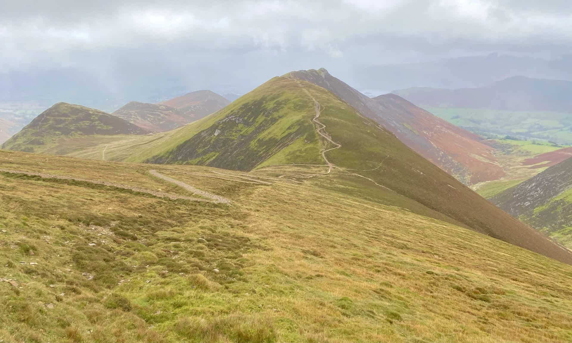
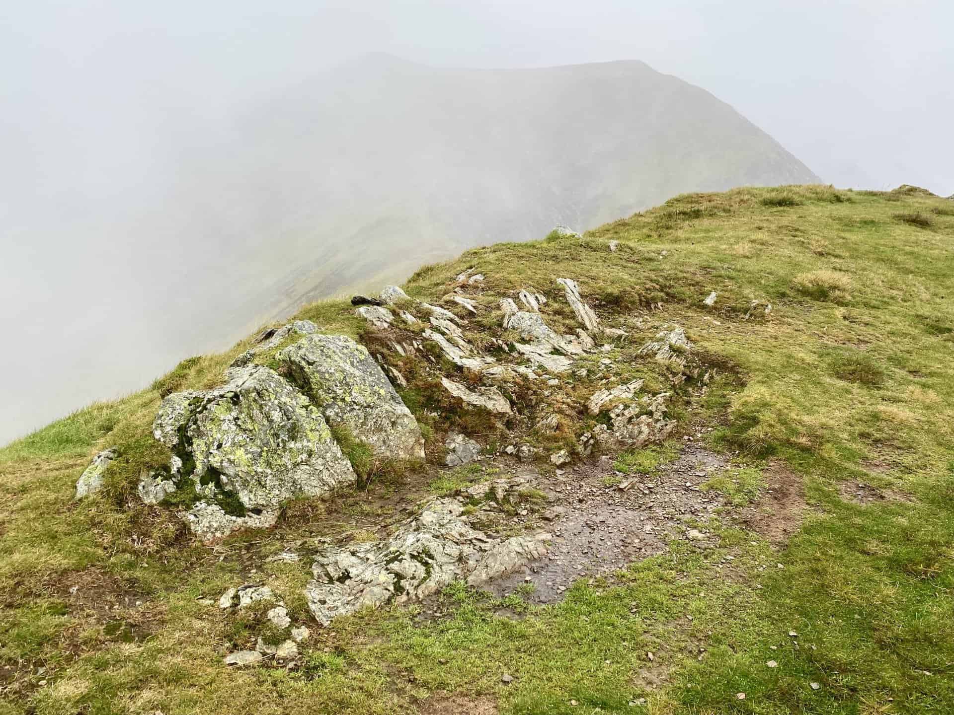
Looking east from Coledale Hause. The pointed peaks are Causey Pike (right) and Outerside (left).
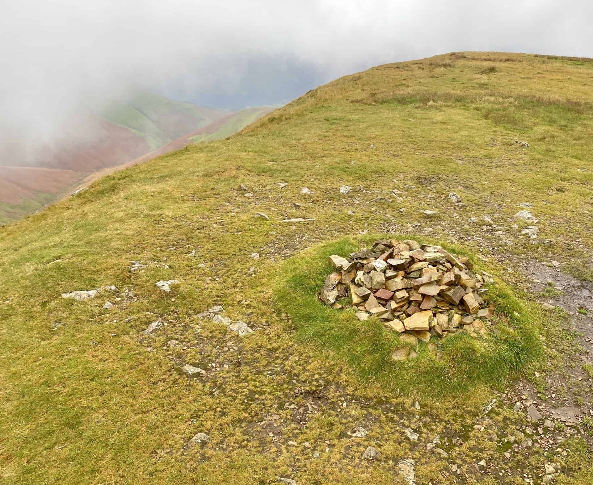
The summit of Whiteless Pike, height 660 metres (2165 feet). The Coledale Horseshoe can be completed without visiting Whiteless Pike.
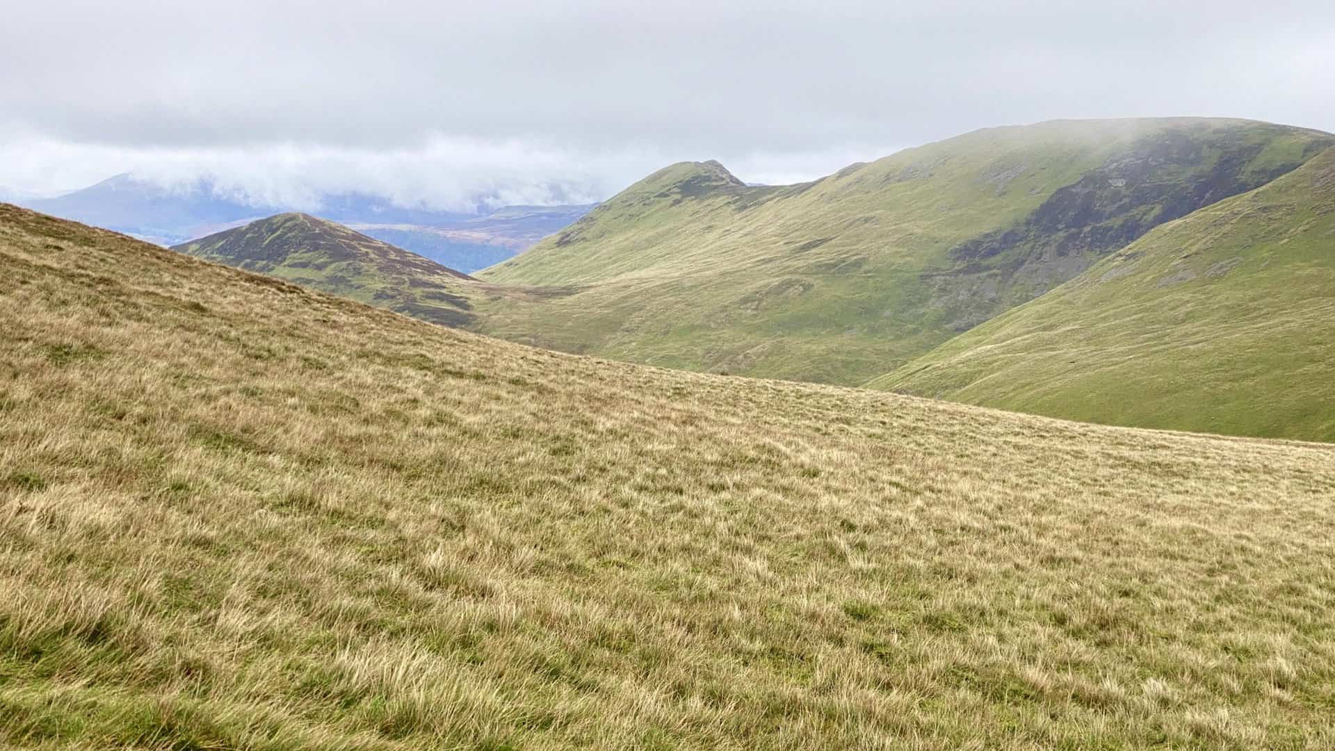
The strong winds blowing over Whiteless Edge momentarily clear the mist to reveal Crummock Water and Mellbreak. Loweswater is also visible in the distance on the right.
The summit of Wandope, height 772 metres (2533 feet). The Coledale Horseshoe can be completed without visiting Wandope.
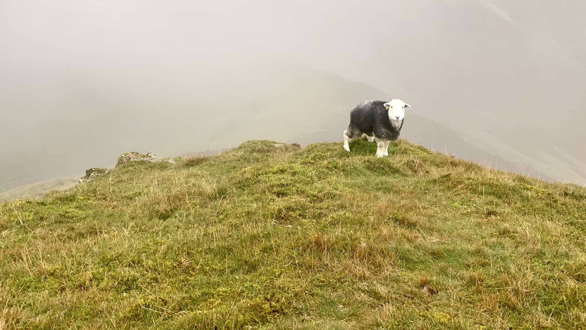
The Lake District Herdwick Sheep
The Herdwick breed of sheep is one of the toughest in the UK and is perfectly adapted to a harsh life on the high fells of the Lake District.
Herdwicks are free to roam anywhere they wish on the unfenced Lake District land, but they generally do not stray far from where they are supposed to graze because of their in-built homing instinct which is passed down through the generations.
They keep the vegetation under control due to constant grazing and thus help to create the distinctive look of the Lake District landscape.
Herdwick lambs are born with a jet black fleece which quickly lightens to dark brown. When the young sheep are first shorn at about 15 months old, the fleece turns steel grey. After a few years white ‘kemp’ fibres increase and the fleece becomes a very light grey.
The main features of adult Herdwicks are white heads and legs; horns on the rams; broad, long, muscular bodies; and two coats (a woolly waistcoat and a thick, wiry, outer coat).
The name ‘Herdwick’ appears to have been derived from the Norse term ‘Herdwyck’, which means ‘sheep pasture’, and the earliest record of the breed in the UK was in documents dating back to the 12th century.
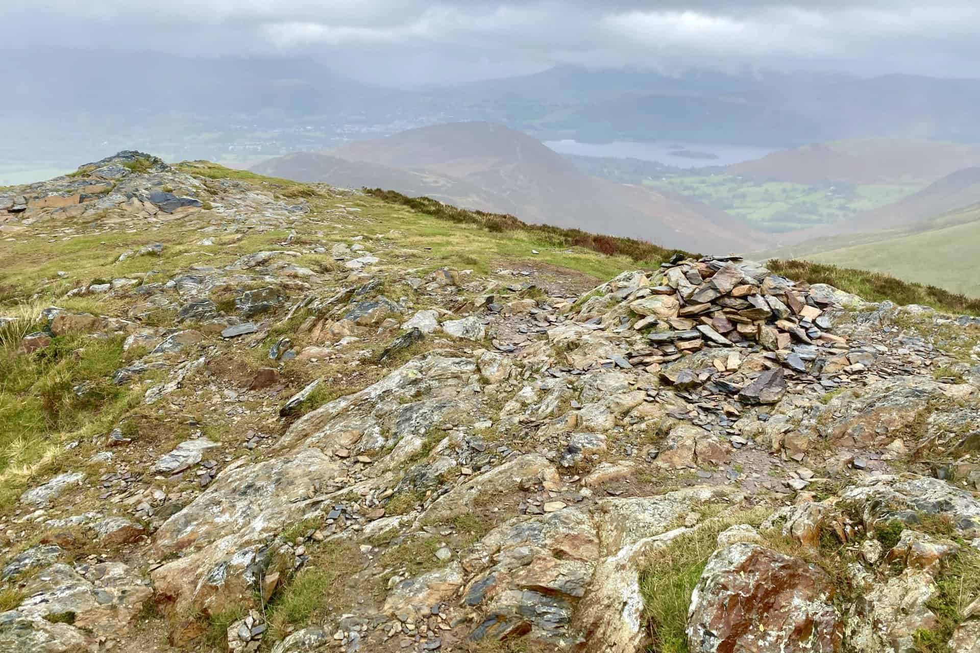
The summit of Crag Hill, height 839 metres (2753 feet). This is the highest point of the Coledale Horseshoe.
The view north from The Scar (between Crag Hill and Sail) over to Grisedale Pike which I had climbed earlier that morning.
Looking back towards Crag Hill from The Scar.
The summit of Sail, height 773 metres (2536 feet).
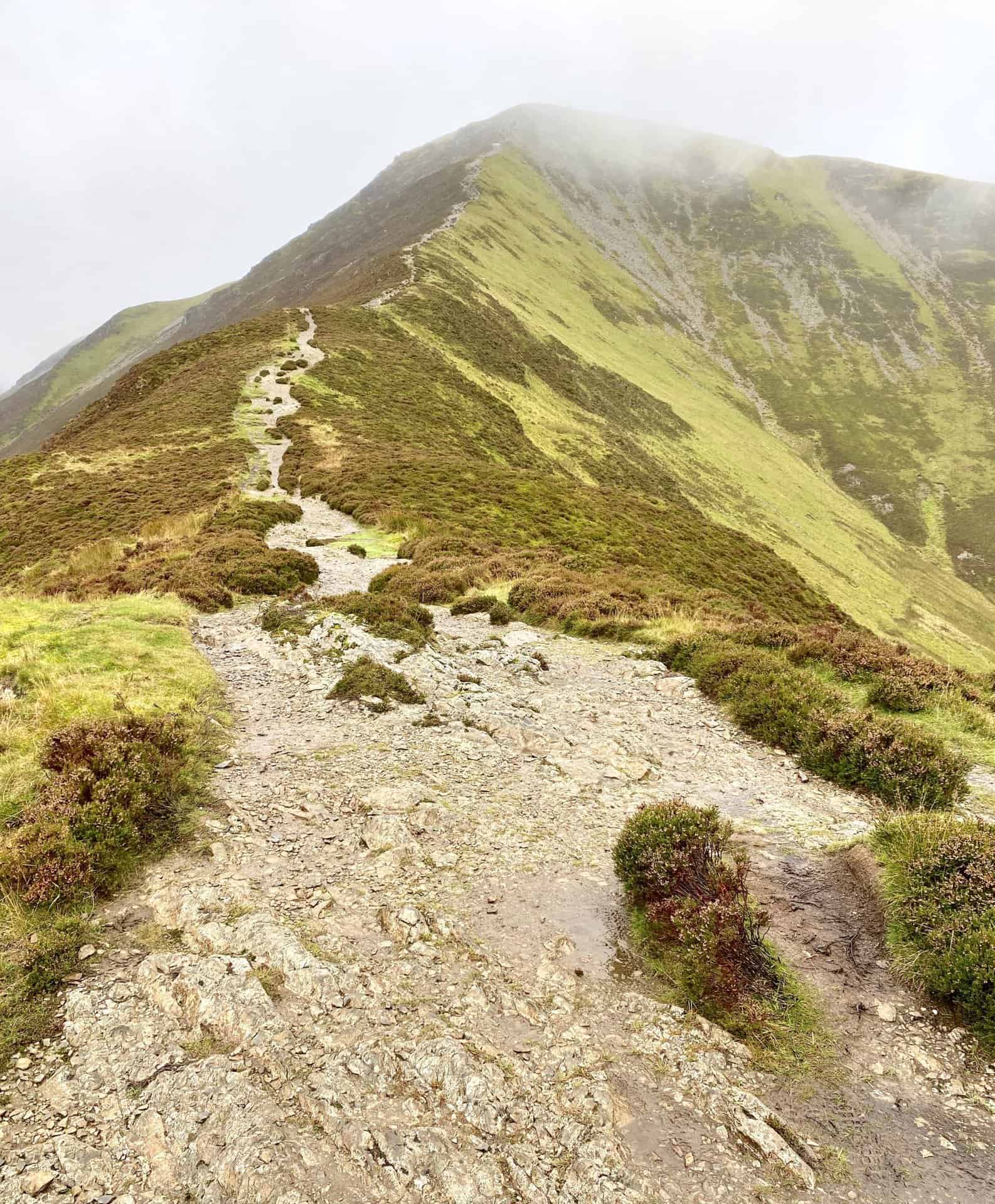
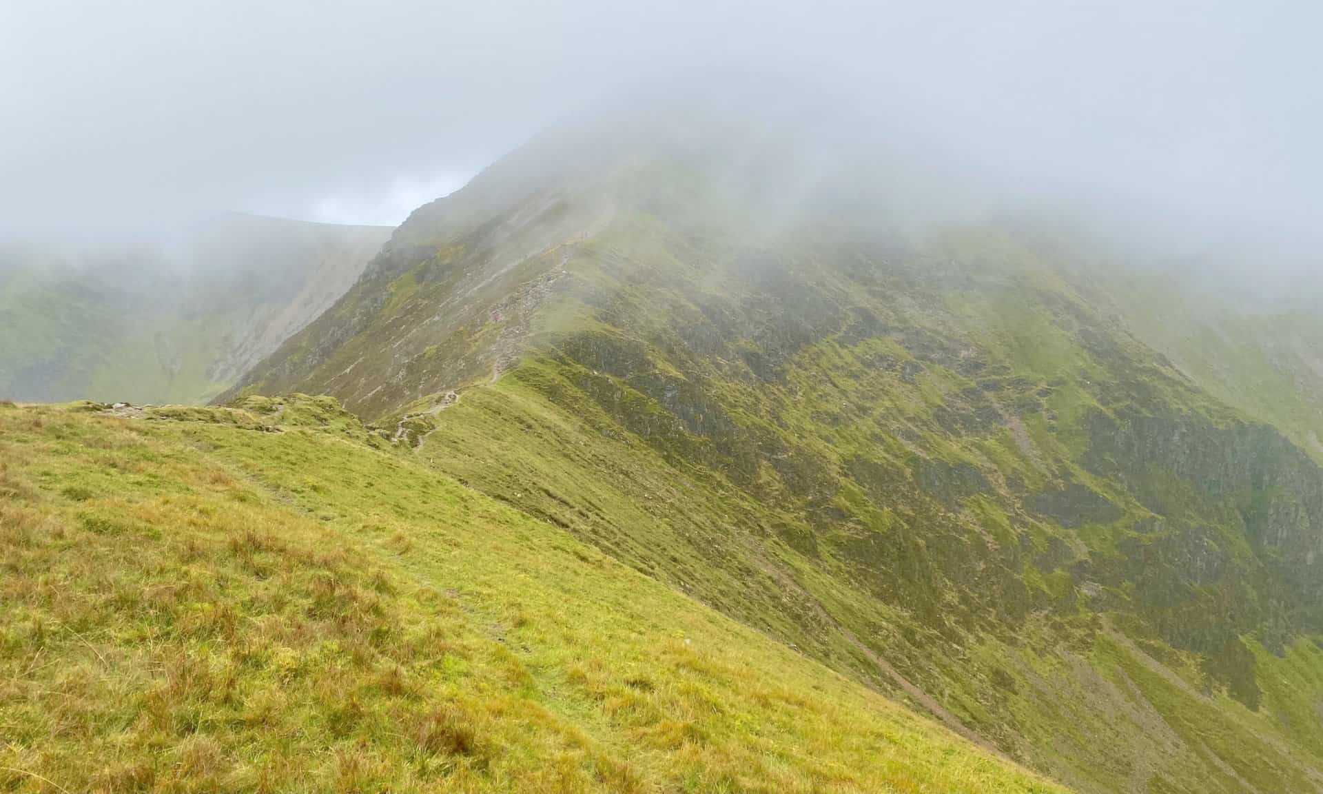
The winding, stone track down from Sail and up to Causey Pike. Behind Causey Pike is Rowling End. The three peaks on the left are Outerside, Stile End and Barrow.
Ard Crags is lit up by the sun as I look south-east from the lower slopes of Sail. In the background, and in shade, are the likes of Robinson, Hindscarth and High Spy.
The view of Outerside from the col between Sail and Causey Pike. In the distance is the Skiddaw range of mountains. Skiddaw, Carl Side and Little Man are cloud-covered, but Dodd, Long Side and Ullock Pike can be seen.
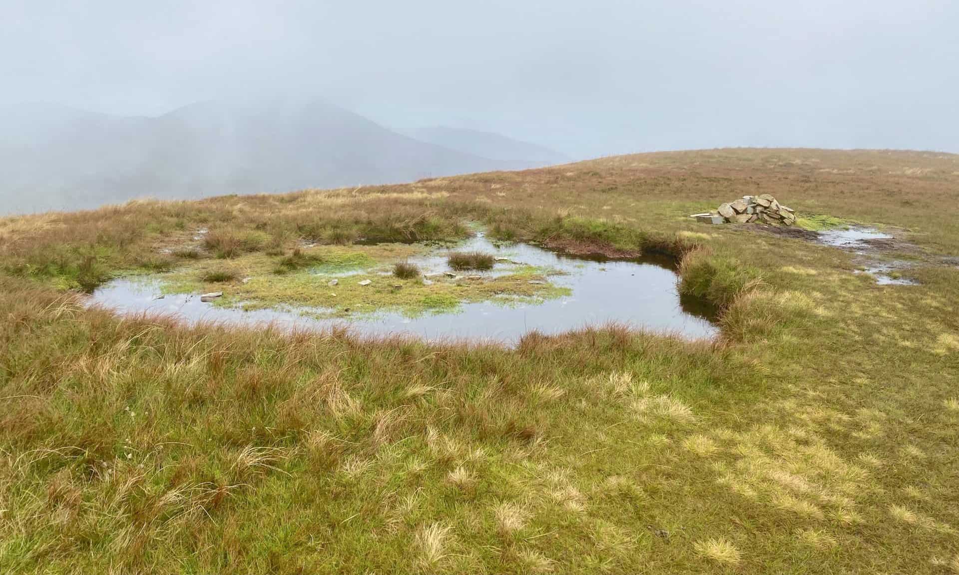
The summit of Outerside, height 568 metres (1864 feet).
The summit of Barrow, height 455 metres (1493 feet).
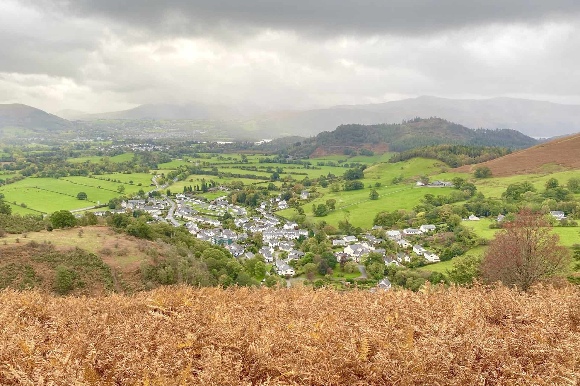
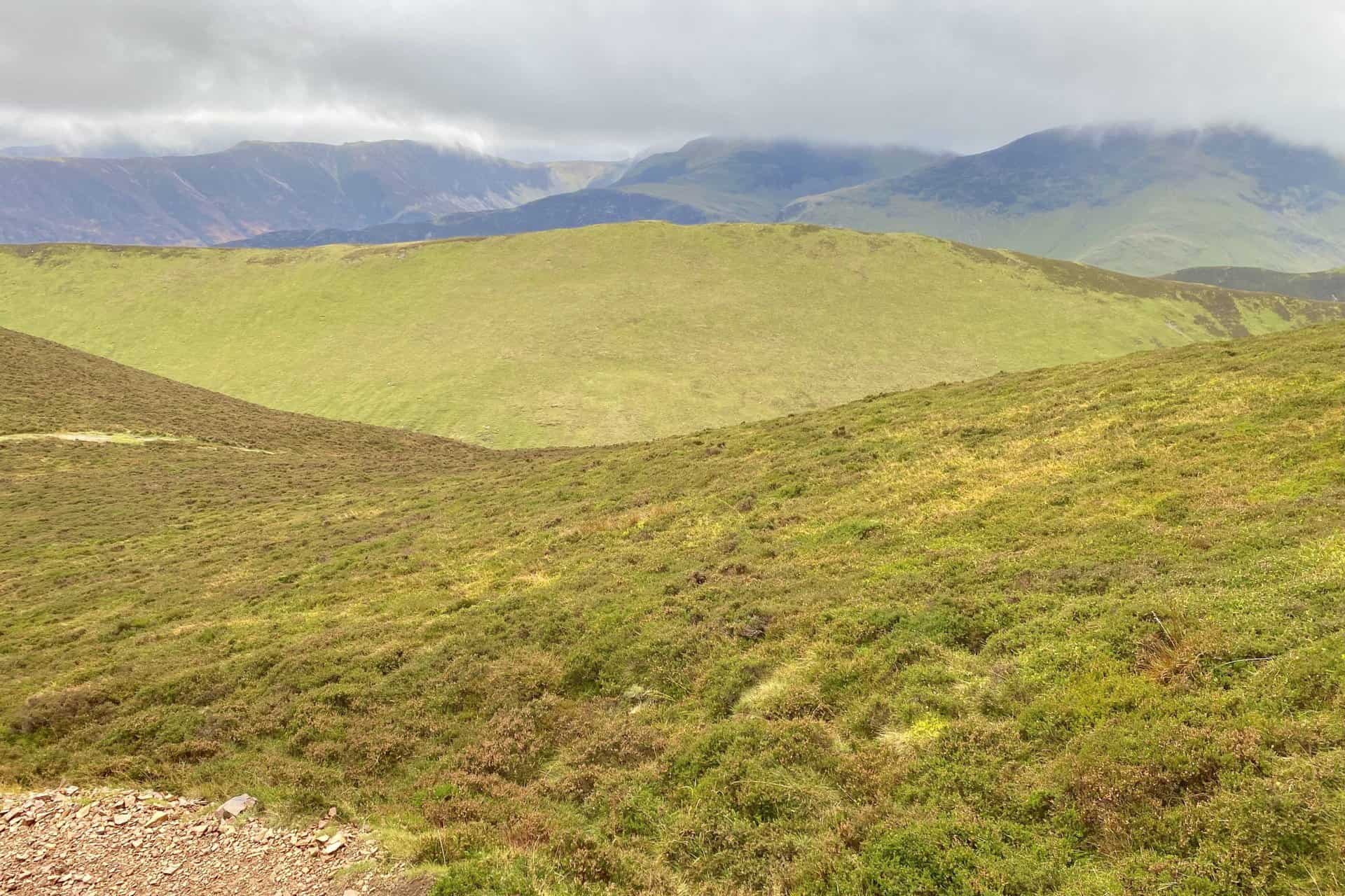
The Newlands valley and Cat Bells, as seen from the northern flanks of Barrow.
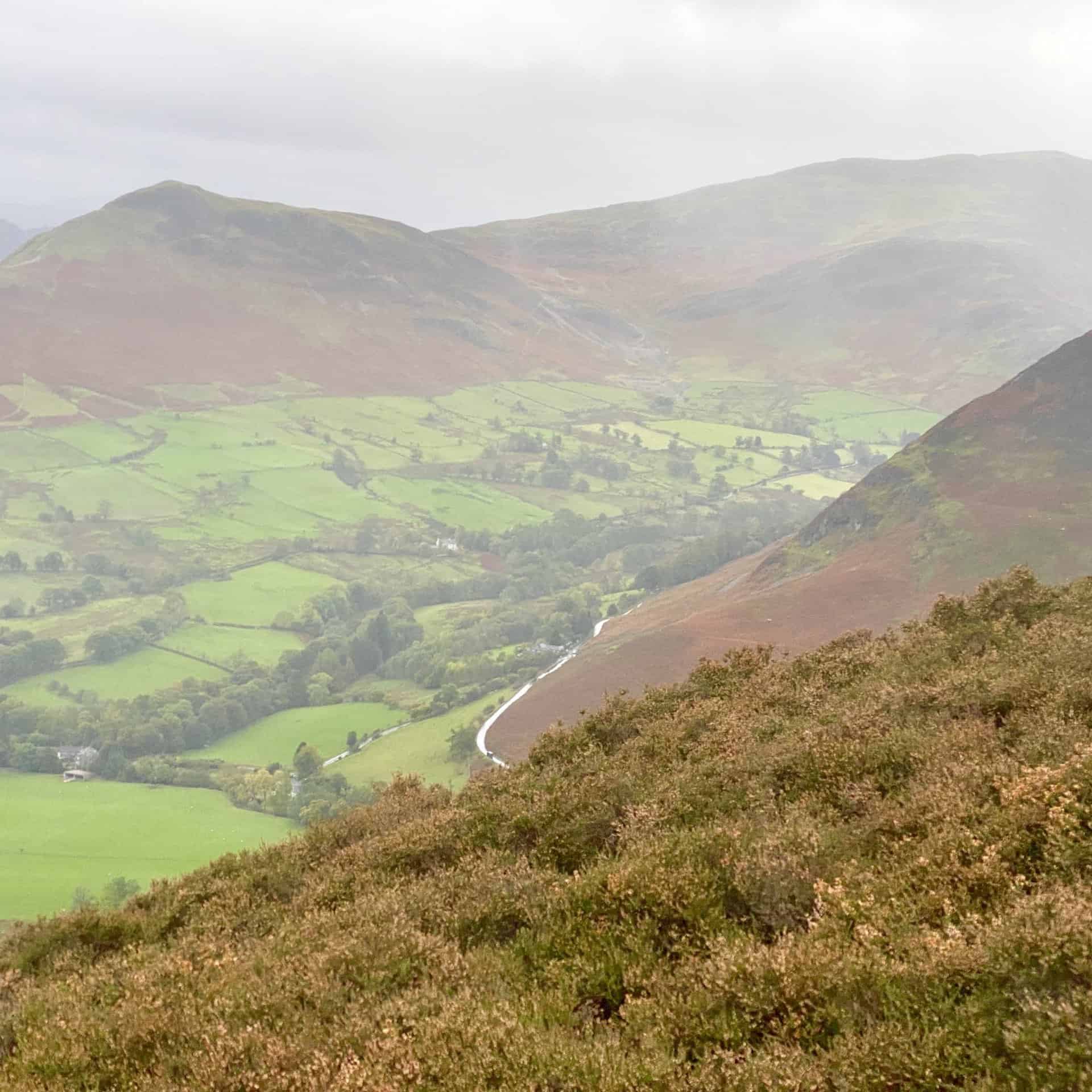
The Newlands valley and Derwent Water. The wooded hill on the left is Swinside, with Keswick in the background.
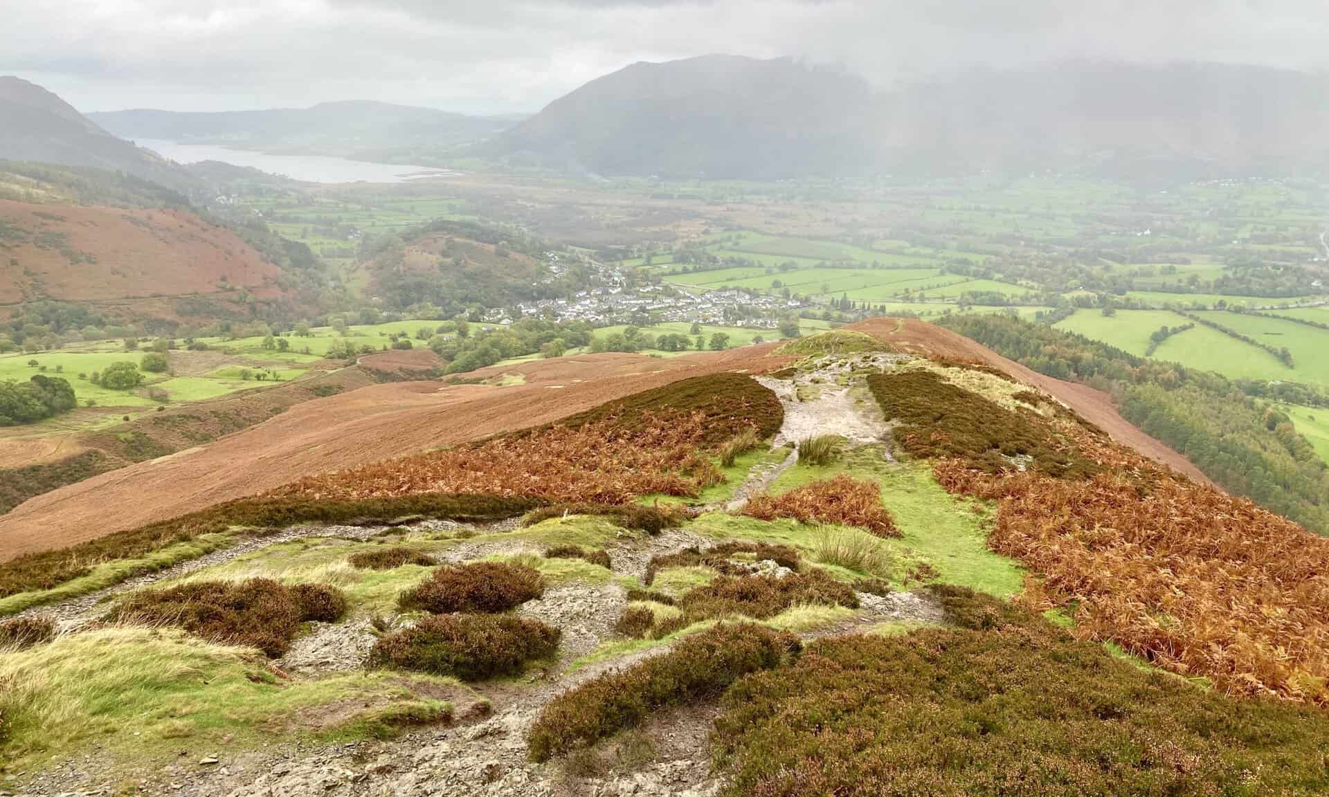
Braithwaite is visible as I descend Barrow. The village is about a mile away and I’m tired. The Coledale Horseshoe has been a hard walk.
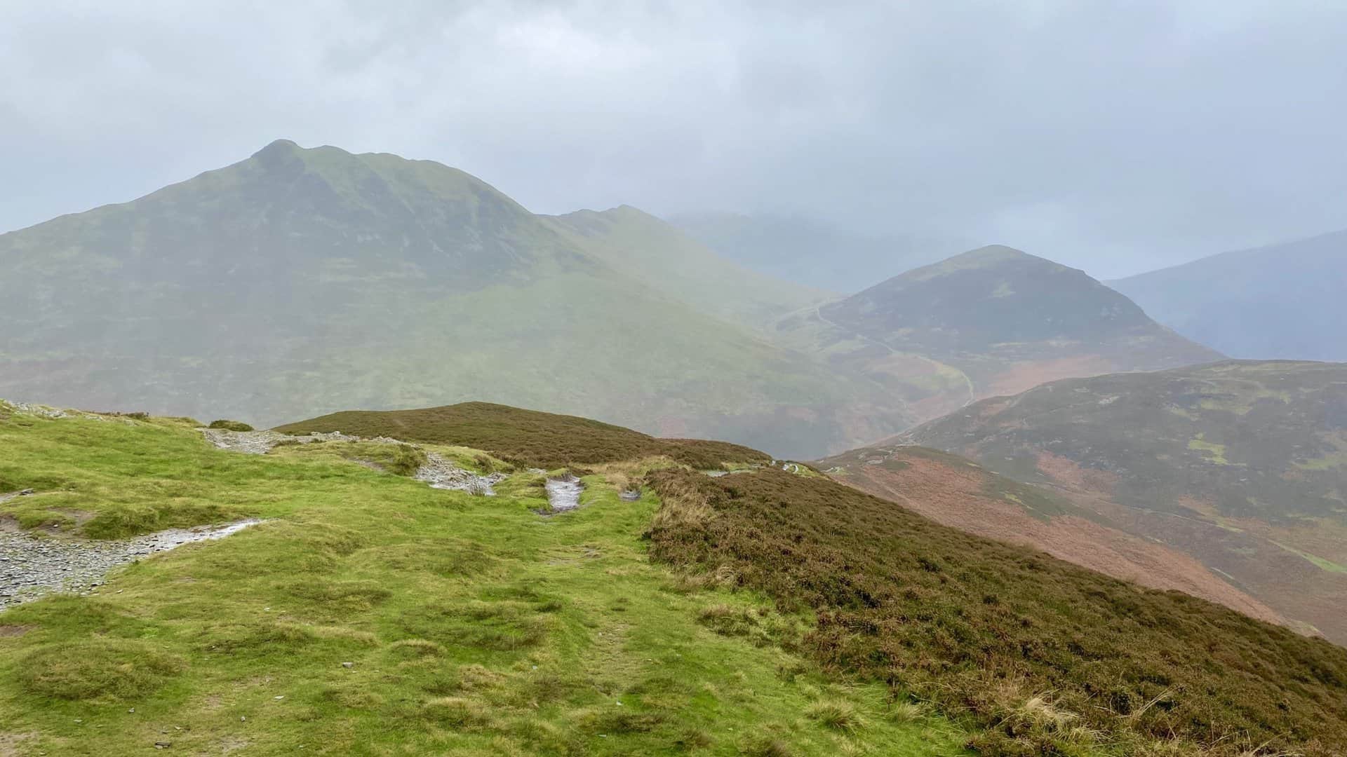
Looking back at some of the fells of the Coledale Horseshoe. From left to right: Stile End; Outerside; Eel Crag (cloud covered); Hobcarton Head; Grisedale Pike.
Amazon’s Top Walking Boots: Four Standout Choices for Men and Women
For walking and hiking, the right boots are essential for both comfort and safety. While Amazon boasts a wide range, certain boots emerge as top-sellers. From those, here are four I personally favour. As an Amazon affiliate, I may earn a small commission from any purchases made through the links provided. This helps support the upkeep of this website. Rest assured, you won’t pay a penny extra, but your purchase will contribute to keeping my site running smoothly. Happy walking!

Berghaus Men’s Hillmaster II Gore-Tex Walking Boots
These fully waterproof leather walking boots feature a Gore-Tex lining, ensuring no water enters whilst allowing feet to breathe and stay cool. Made from full-grain leather, they promise unmatched durability and comfort. The boots come with memory foam tongues and cuffs that mould to your feet for a tailored fit, and the Vibram Hillmaster outsoles offer confidence on challenging terrains.

Salewa Men’s Mountain Trainer Mid Gore-Tex Walking Boots
Made from durable suede and abrasion-resistant textile, these men’s hiking boots are both lightweight and sturdy. The upper material is enhanced by a 360° full rubber sheath. Their dual-layer midsole with Bilight technology ensures ergonomic cushioning and grip, especially on extended hikes. The Vibram Wrapping Thread Combi outsoles allow a natural walking feel, and the Gore-Tex lining provides waterproofing, breathability, and optimal weather protection. Furthermore, the patented Salewa 3F system ensures flexibility, a secure heel grip, and a blister-free fit.

Berghaus Women’s Supalite II Gore-Tex Walking Boots
Specially designed for women, these hiking boots offer waterproofing and breathability, thanks to their Gore-Tex lining. Crafted from full-grain abrasion-resistant leather, they’re durable enough for the toughest hikes. The Supalite soles ensure stability and traction, and the EVA midsoles add comfort for extended walks.

Merrell Women’s Moab 3 Mid Gore-Tex Walking Boots
These hiking boots incorporate a Gore-Tex waterproof membrane, blending breathability with superior waterproof performance. The combination of pigskin leather and mesh on the uppers, along with the suede outer material, ensure durability and style. Enhancements include 100% recycled laces, webbing, and mesh lining. Additionally, bellows tongues, protective toe caps, and Vibram TC5+ rubber soles ensure protection and ease on any terrain.