The Complete Guide to Enjoying the Derwent Water Circular Walk
Start your Derwent Water circular walk from the Lakeside Car Park in Keswick, situated on Lake Road near the Theatre By The Lake. Commence by heading south, past the jetties and continuing on a gravel track adjacent to the lake until you reach Friar’s Crag, a delightful viewpoint.
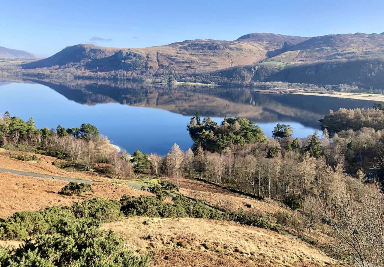
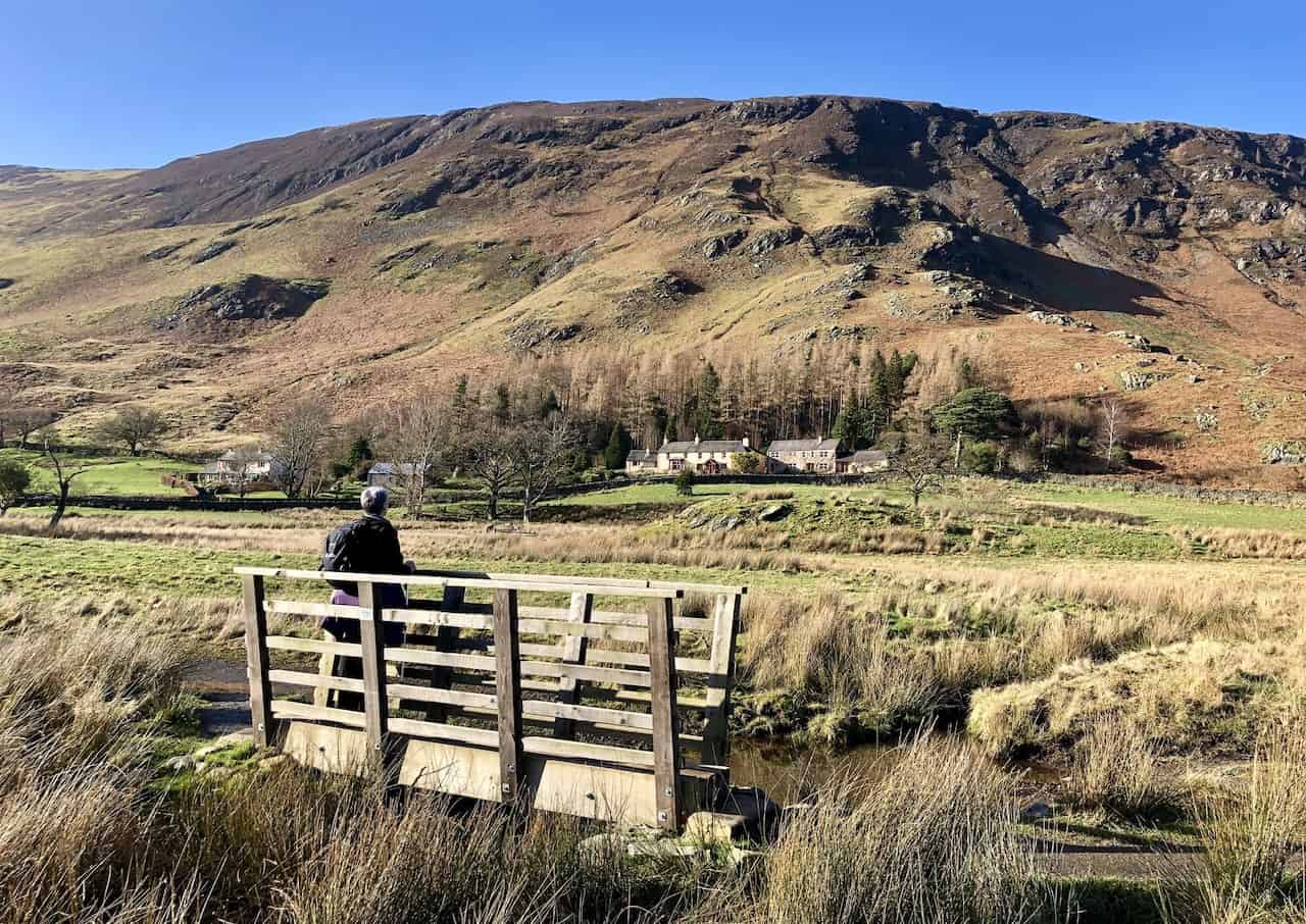
As you keep Derwent Water to your right, proceed east into the woodland known as The Ings. Upon exiting the woodland, follow a wide track, cross a cattle grid into a field, and continue along the path past Stable Hills back to the lakeside. Venture further along the lake’s shores into a small woodland. Pause at the Millennium Seat on the headland to savour the stunning views south across Derwent Water towards the Borrowdale valley. Then, circle around Calfclose Bay, keeping an eye out for the Centenary Stone on the shoreline.
Continue along the lake’s edge around the bay, passing through a picturesque area of Scots Pines, until you reach a wooden footbridge over a ghyll. If the lake level permits, proceed along the stony lakeshore to Ashness Gate Landing Stage. Otherwise, take the path left beside the ghyll, cross a stile, and turn right along the B5289 roadside footpath to reach your destination.
From Ashness Gate Landing Stage, follow the path alongside Barrow Bay and around the promontory. Upon reaching the road, walk along the stone walkway below it to the National Trust Kettlewell Car Park. Cross the road, turn right onto a rocky footpath through the woodland, separated from the road by a stone wall. Near the Lodore Falls Hotel, consider a brief detour to view the Lodore Falls waterfalls behind the hotel.
Cross the road in front of the Lodore Falls Hotel, rejoin the roadside path, and after about 200 metres, turn right onto a footpath leading to a track signposted to Manesty. Descend to the River Derwent and cross it via the Chinese Bridge. Follow the Cumbria Way across the meadows to a minor road, turning right. If the lake level is high, especially after the bridge, continue along the B5289 from the Lodore Falls Hotel to Grange. Cross the river on the road bridge, passing the Borrowdale Gates Hotel. This detour adds about two miles to the walk.
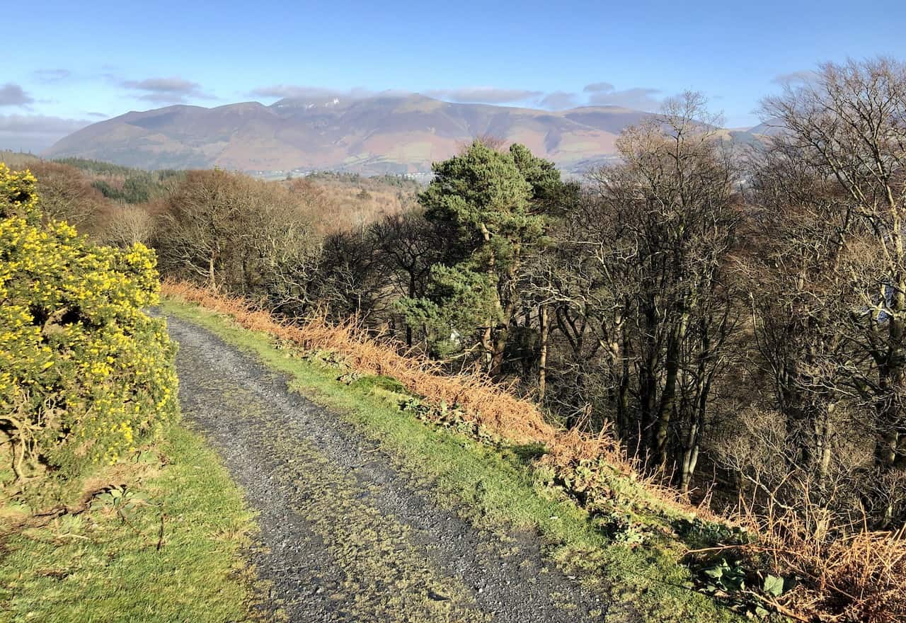
Proceed north along the minor road below Manesty, then veer left onto a bridleway ascending to higher ground for splendid views of Derwent Water. Continue north below Cat Bells, briefly rejoining the minor road before ascending again beneath Skelgill Bank, eventually rejoining the road near Hawse End Outdoor Centre.
Follow the Cumbria Way to Derwent Bay, descending through woodland and crossing a field to more woodland. Leave the Cumbria Way, turning right onto a footpath leading to Nichol End. Turn left along the track to the road to Portinscale, then right through the village. At the first major junction, continue past the Derwentwater Hotel, crossing the suspension bridge over the River Derwent.
After about 100 metres, turn right onto a footpath between fields, still on the Cumbria Way. At the main road, cross the bridge over the River Greta and continue to the mini roundabout, straight on into Keswick’s Market Square. Exit the square via Lake Road on the right, leading you back to the Lakeside Car Park. This concludes your 10-mile Derwent Water circular walk. If a diversion is required due to flooding in the southern marshland areas, your journey extends to approximately 12 miles.
Derwent Water Circular Walk: Maps and Tools
Visit either the OS Maps website or the Outdooractive website to view this walking route in greater detail. Both platforms offer a range of features, including the ability to print the route, download it to your device, and export the route as a GPX file. You can also watch a 3D fly-over and share the route on social media.
Derwent Water Circular Walk: Distance, Duration, Statistics
Distance: 10 miles
Distance: 16 kilometres
Duration: 4½ hours
Ascent: 965 feet
Ascent: 294 metres
Type: Circular walk
About Derwent Water
Discover the Beauty of the Lake District on a Derwent Water Circular Walk
Derwent Water is situated in the Lake District in the north-west of England, just south of Keswick. It ranks as the third-largest lake by area in the region, trailing behind Windermere and Ullswater. The lake spans 2.9 miles in length, reaches up to 1.19 miles in width, and covers an area of 2.1 square miles. The River Derwent, which serves as both the primary inflow and outflow, passes through Bassenthwaite Lake before emptying into the Irish Sea at Workington. Within the lake lie several islands, one of which is occupied.
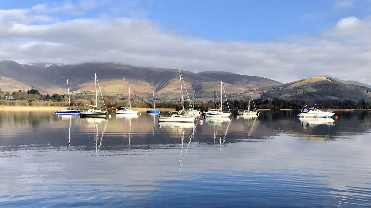
The area around Derwent Water is renowned for its picturesque scenery. It is encircled by hills, and many slopes overlooking the lake are densely forested. A passenger launch regularly transports visitors between various points around the lake, making any Derwent Water circular walk a favourite among tourists. There are seven marinas along the lakeside, with Keswick, Portinscale, and the Lodore Falls being notable stops where boats can be rented. The area is popular for recreational walking, supported by an extensive network of footpaths in the surrounding hills and woods.
Derwent Water Cultural and Environmental Significance
The road from Keswick to Borrowdale runs along the lake’s eastern shore, offering a regular bus service. A smaller road connects the villages of Grange and Portinscale along the western shore. The name Derwent Water was adopted for the Earldom of Derwentwater. Between 2008 and 2014, the lake was thought to be the final remaining native habitat of the vendace fish in the UK, but a breeding population was later found in Bassenthwaite Lake. The lake suffers from pollution due to the invasive New Zealand Pygmyweed.
The name ‘Derwent’ suggests a river surrounded by oak trees, stemming from Brythonic Celtic or Old Welsh. This etymology is shared with other English rivers like Darwen, Darent, and Dart. The river’s name eventually lent itself to Derwent Water, historically known by several names in the 18th and 19th centuries.
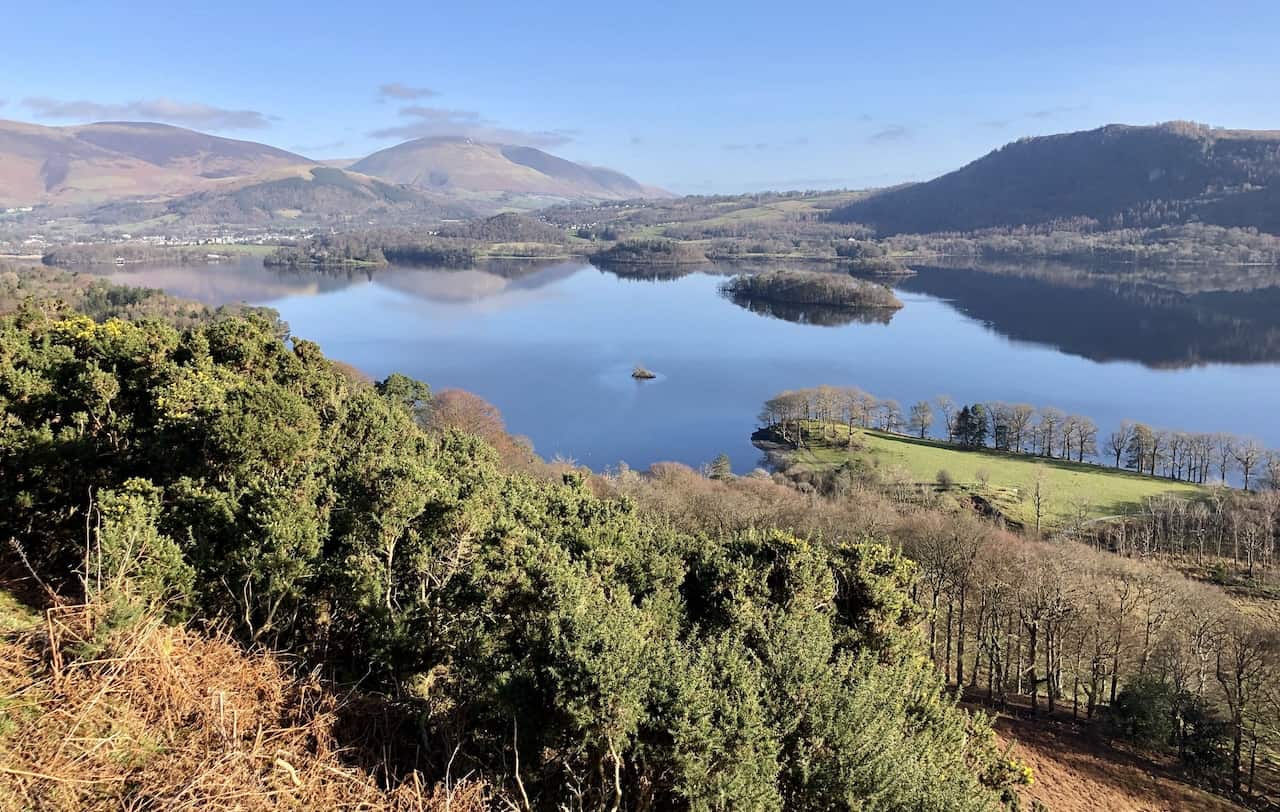
The lake hosts numerous islands, with Derwent Island, Lord’s Island, and St Herbert’s Island being among the largest. Derwent Island houses a residence. St Herbert’s Island is named after a 7th-century hermit priest. The Derwent Water circular walk offers views of these islands, contributing to the area’s allure for hikers and nature enthusiasts.
In terms of cultural significance, Letitia Elizabeth Landon penned a poem inspired by Derwent Water, which accompanies Thomas Allom’s artwork in an 1837 publication. The lake’s image has been used in various media, including the video game ‘Silent Hill 2’ by Team Silent, the setting for Forza Horizon 4, the album cover for Bonobo’s ‘Black Sands,’ and in Richard Dawson’s ‘Derwentwater Farewell.’ Additionally, Derwent Water served as a filming location for ‘Star Wars: The Force Awakens,’ representing the planet Takodana.
Recommended Ordnance Survey Map
The best map to use on this walk is the Ordnance Survey map of the Lake District North-Western Area, reference OS Explorer OL4, scale 1:25,000. It clearly displays footpaths, rights of way, open access land and vegetation on the ground, making it ideal for walking, running and hiking. The map can be purchased from Amazon in either a standard, paper version or a weatherproof, laminated version, as shown below.
Standard Version
Derwent Water Circular Walk: My Photos
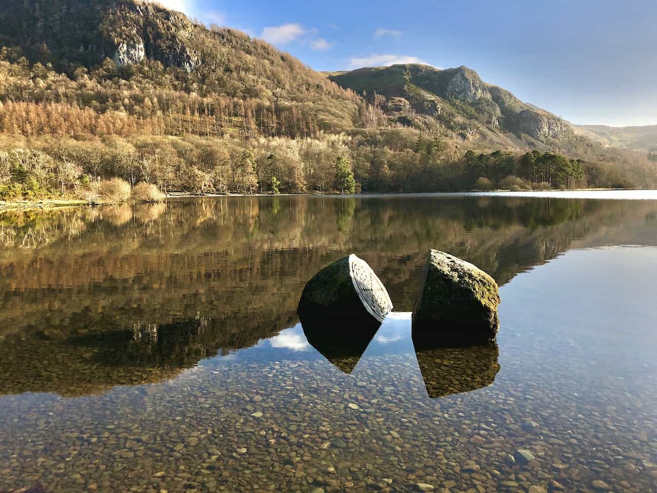
The Centenary Stone in Calfclose Bay, a large split boulder commemorating 100 years of the National Trust in the Lake District. This intriguing landmark is a highlight on the Derwent Water circular walk.
The view north from the banks of Derwent Water at Barrow Bay, showcasing the peaks of the Skiddaw mountain range in their entirety. From right to left: Lesser Man, Little Man, Skiddaw, Carl Side, Long Side, Ullock Pike, and Dodd.
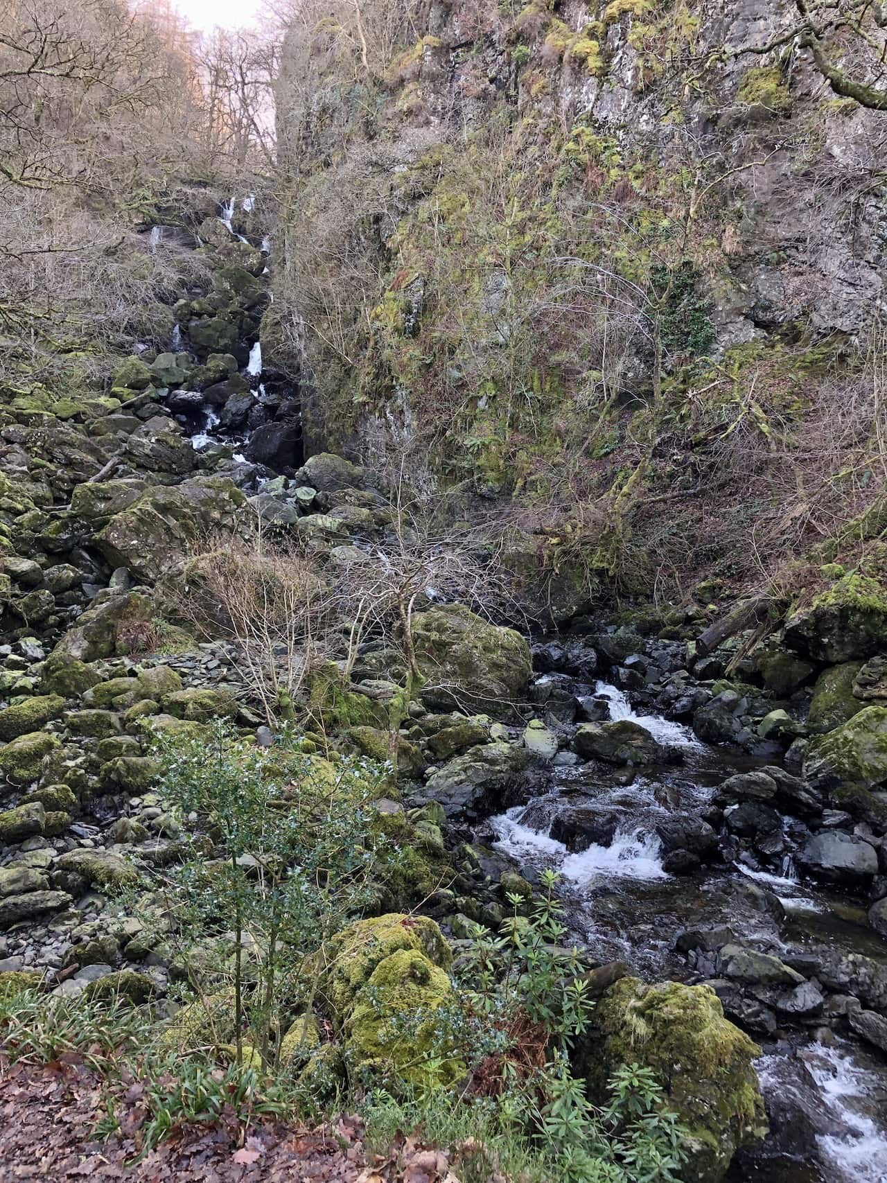
The Lodore Falls, where Watendlath Beck flows north from Watendlath Tarn and plunges more than 30 metres into the Borrowdale valley, just behind the Lodore Falls Hotel. This stunning waterfall is a notable feature on the Derwent Water circular walk.
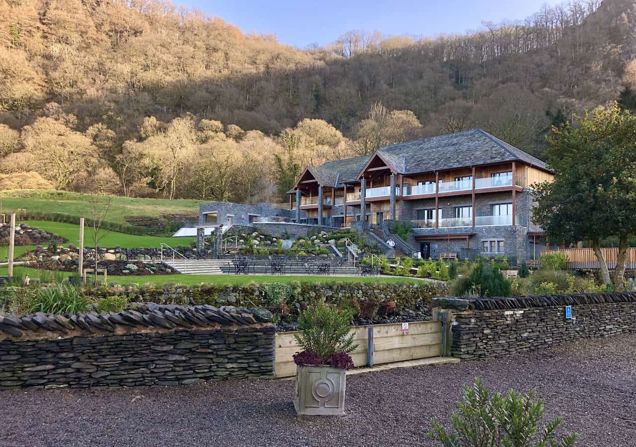
The Falls Spa at the Lodore Falls Hotel, a serene retreat for visitors exploring the area.
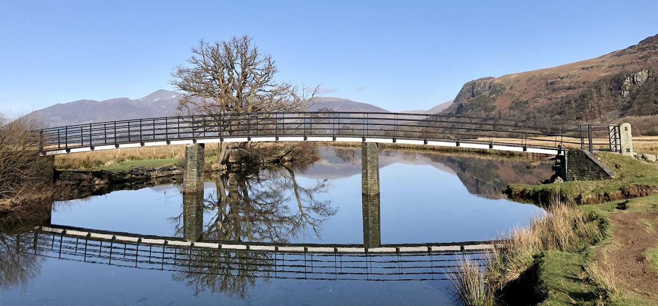
A footbridge across the River Derwent near Great Bay, offering a picturesque crossing for those on the Derwent Water circular walk.
Looking over towards Cat Bells and Skelgill Bank, a view that captivates walkers with its stunning landscapes.
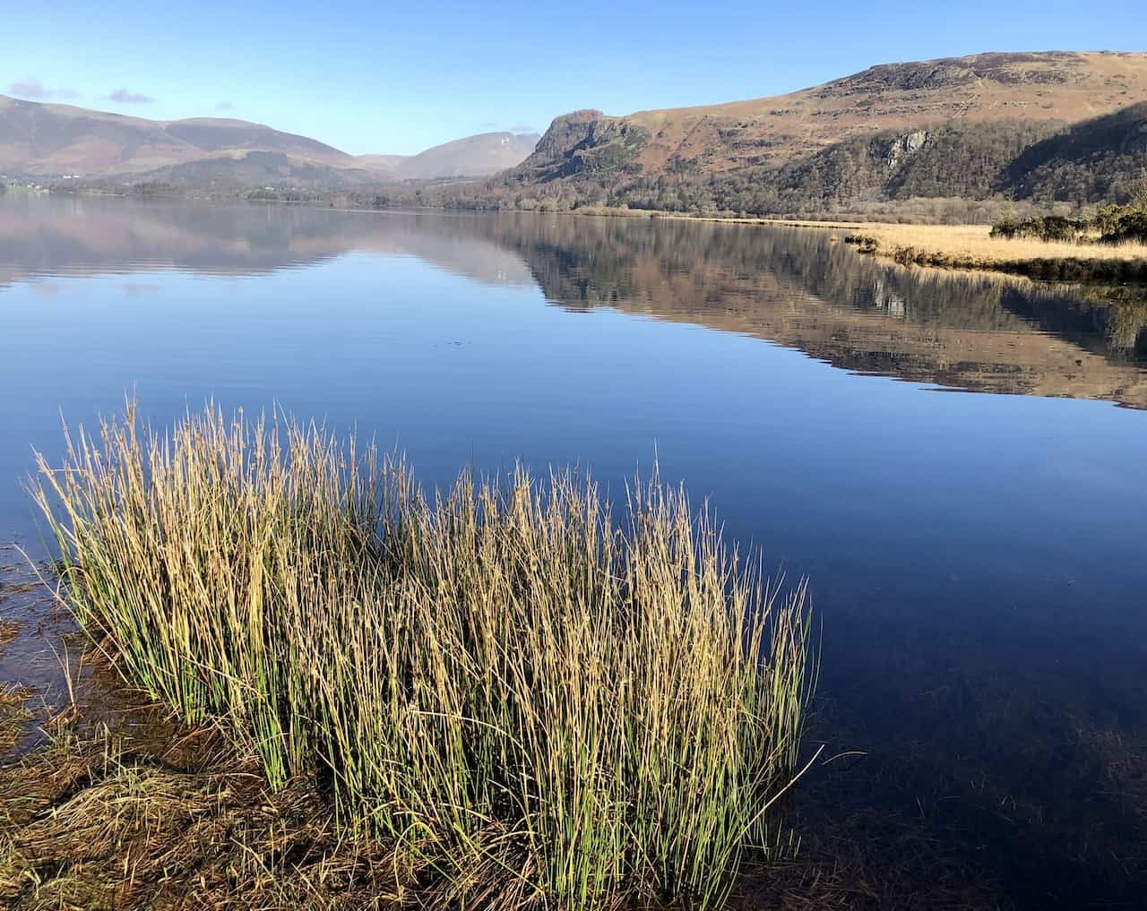
Derwent Water viewed from the lake’s southernmost banks at Park Neb, Great Bay, presenting a tranquil scene of natural beauty.
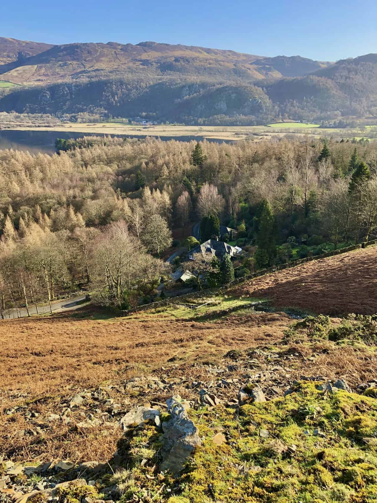
Manesty holiday cottages viewed from the Cumbria Way, with a popular path across the hilltop leading walkers from Cat Bells to Maiden Moor.
The woodlands of Manesty Park at the southern end of Derwent Water, a lush area teeming with native flora and fauna.
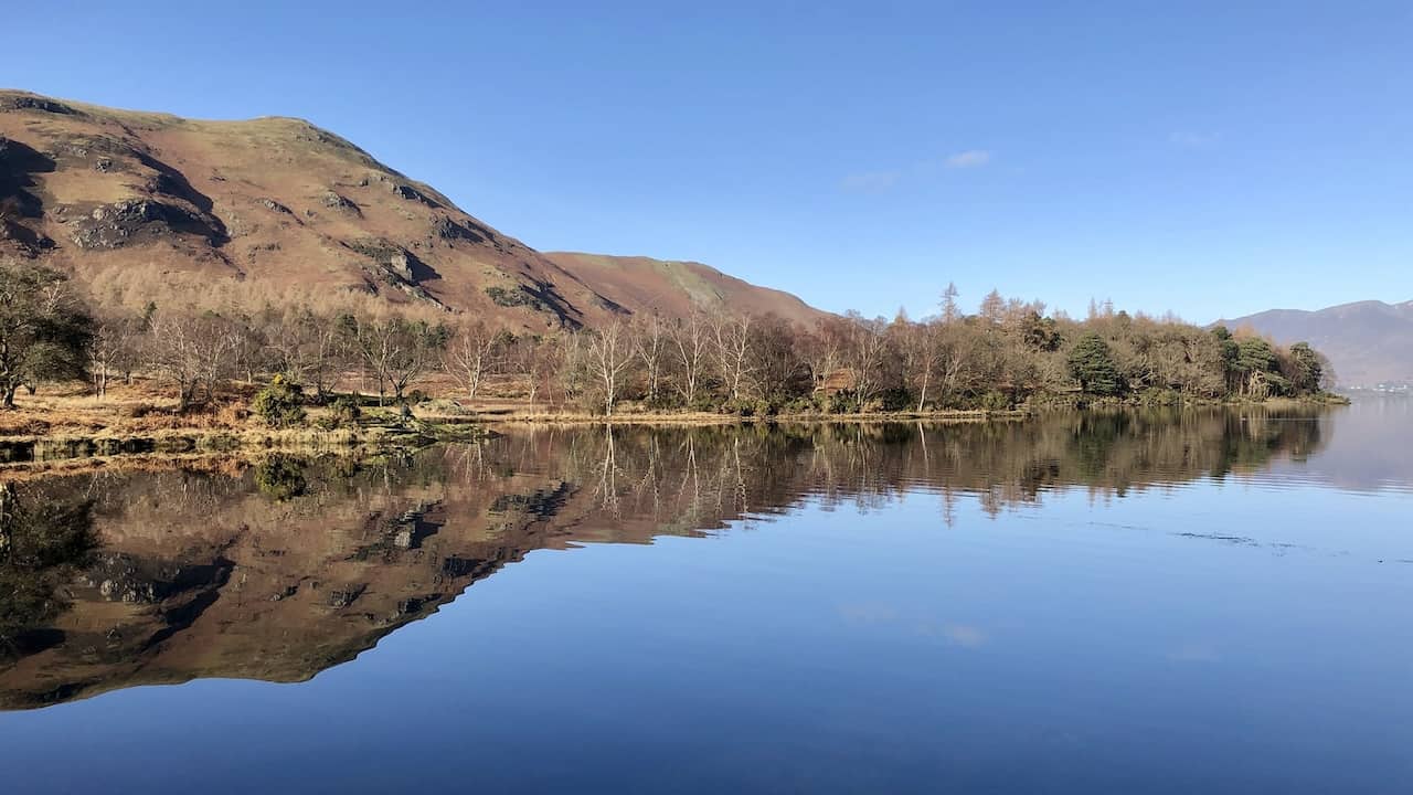
The view north-east across the southern extent of Derwent Water from the eastern flanks of Cat Bells. Bleaberry Fell is the highest point in the background, with Walla Crag on the far left. This picturesque view forms part of the Derwent Water circular walk.
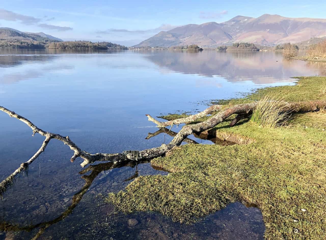
The northern extent of Derwent Water as seen from the banks of the lake near Nichol End, with clouds just covering the top of Blencathra, adding a mystical touch to the landscape.
The view north towards the Skiddaw range of mountains from the bottom of Skelgill Bank, a breathtaking sight that draws many to explore the area.
Looking north-east across Derwent Water towards Keswick, with the Blencathra range of mountains in the far background, left of centre. This panoramic view is a quintessential part of the Derwent Water circular walk, offering a comprehensive experience of the Lake District’s majestic beauty.
Amazon’s Top Walking Boots: Four Standout Choices for Men and Women
For walking and hiking, the right boots are essential for both comfort and safety. While Amazon boasts a wide range, certain boots emerge as top-sellers. From those, here are four I personally favour. As an Amazon affiliate, I may earn a small commission from any purchases made through the links provided. This helps support the upkeep of this website. Rest assured, you won’t pay a penny extra, but your purchase will contribute to keeping my site running smoothly. Happy walking!

Berghaus Men’s Hillmaster II Gore-Tex Walking Boots
These fully waterproof leather walking boots feature a Gore-Tex lining, ensuring no water enters whilst allowing feet to breathe and stay cool. Made from full-grain leather, they promise unmatched durability and comfort. The boots come with memory foam tongues and cuffs that mould to your feet for a tailored fit, and the Vibram Hillmaster outsoles offer confidence on challenging terrains.

Salewa Men’s Mountain Trainer Mid Gore-Tex Walking Boots
Made from durable suede and abrasion-resistant textile, these men’s hiking boots are both lightweight and sturdy. The upper material is enhanced by a 360° full rubber sheath. Their dual-layer midsole with Bilight technology ensures ergonomic cushioning and grip, especially on extended hikes. The Vibram Wrapping Thread Combi outsoles allow a natural walking feel, and the Gore-Tex lining provides waterproofing, breathability, and optimal weather protection. Furthermore, the patented Salewa 3F system ensures flexibility, a secure heel grip, and a blister-free fit.

Berghaus Women’s Supalite II Gore-Tex Walking Boots
Specially designed for women, these hiking boots offer waterproofing and breathability, thanks to their Gore-Tex lining. Crafted from full-grain abrasion-resistant leather, they’re durable enough for the toughest hikes. The Supalite soles ensure stability and traction, and the EVA midsoles add comfort for extended walks.

Merrell Women’s Moab 3 Mid Gore-Tex Walking Boots
These hiking boots incorporate a Gore-Tex waterproof membrane, blending breathability with superior waterproof performance. The combination of pigskin leather and mesh on the uppers, along with the suede outer material, ensure durability and style. Enhancements include 100% recycled laces, webbing, and mesh lining. Additionally, bellows tongues, protective toe caps, and Vibram TC5+ rubber soles ensure protection and ease on any terrain.