Explore the Beauty of Nidderdale on the Thruscross Reservoir Walk
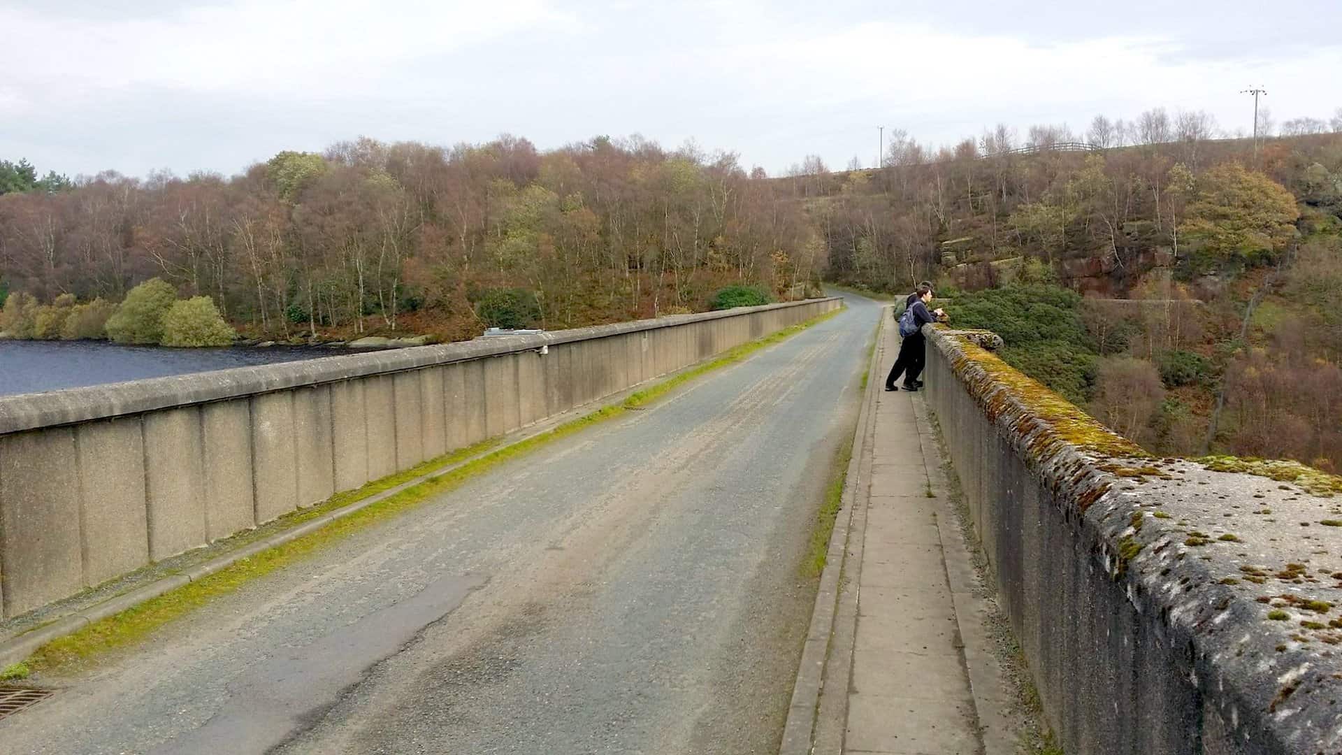
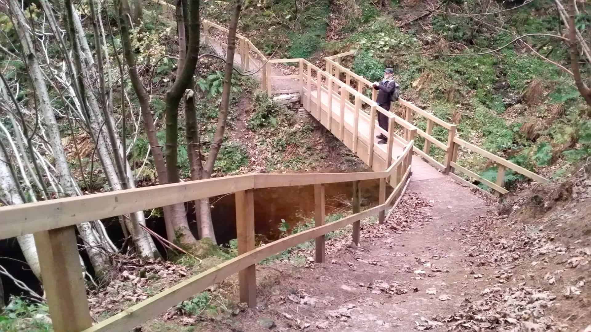
Begin at the A59 Blubberhouses car park. Start on the Six Dales Trail heading north-west alongside the River Washburn. As you walk, you’ll journey through serene woodland, leading you to the Thruscross Reservoir dam. Cross the dam via the road bridge.
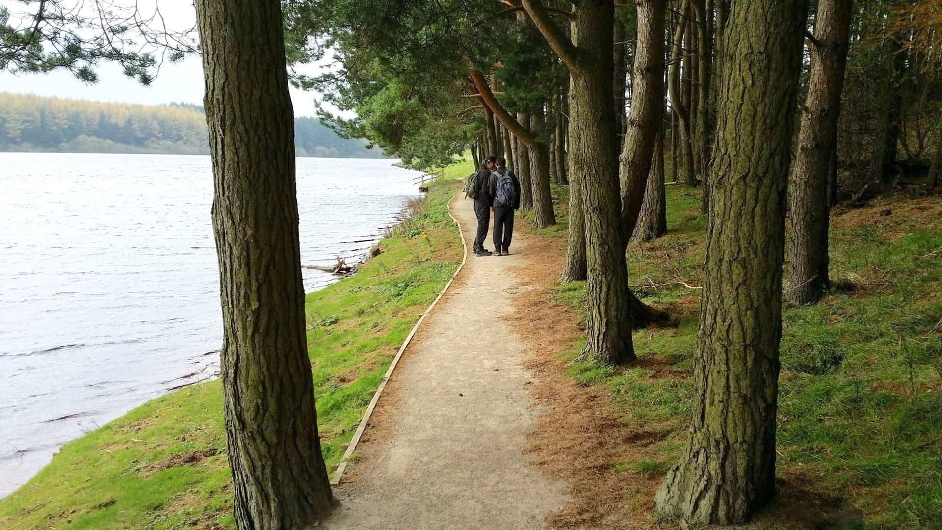
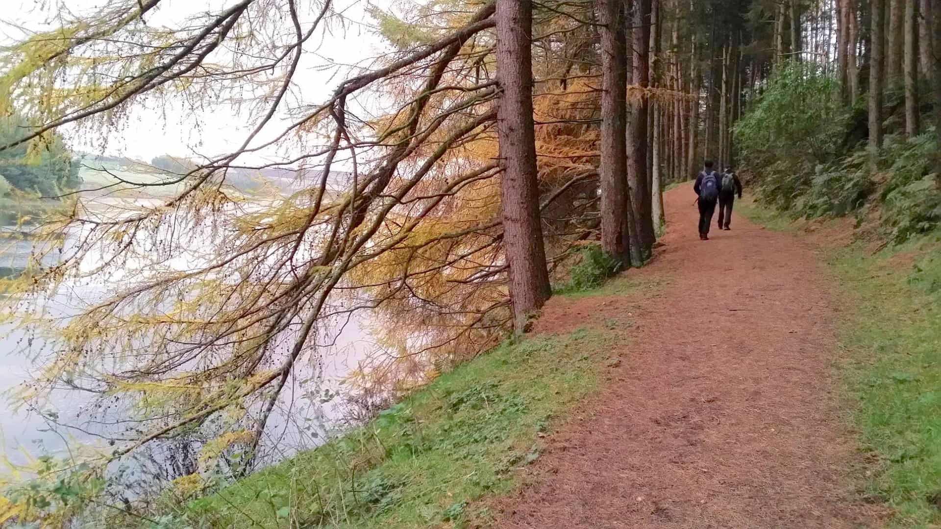
Turn north briefly, then veer west, walking around Thruscross Reservoir’s edges, always keeping the water to your left. Soon, the path will divert you onto open moorland. Navigate towards the reservoir’s north-west tip.
Cross the River Washburn, then pivot south-east directing to Whitmoor Farm. Traverse the farmland to reach Duke’s Hill. Walk south-east along the reservoir’s southern shores until the dam reappears.
Finally, follow the Six Dales Trail beside the River Washburn to return to your starting point. This Thruscross Reservoir walk covers roughly 8 miles in the picturesque Nidderdale.
Thruscross Reservoir Walk: Maps and Tools
Visit either the OS Maps website or the Outdooractive website to view this walking route in greater detail. Both platforms offer a range of features, including the ability to print the route, download it to your device, and export the route as a GPX file. You can also watch a 3D fly-over and share the route on social media.
Thruscross Reservoir Walk: Distance, Duration, Statistics
Distance: 8¼ miles
Distance: 13¼ kilometres
Duration: 3¾ hours
Ascent: 846 feet
Ascent: 258 metres
Type: Circular walk
About Thruscross Reservoir
If you’re looking for a unique location in North Yorkshire, consider the Thruscross Reservoir walk. Thruscross Reservoir is the most northerly of four reservoirs in the Washburn valley, located north of Otley and west of Harrogate, close to the hamlet of Thruscross. You can access it via an unclassified road that links from the A59, where the Otley road meets.
Though the reservoir’s construction was completed in 1966, the other three reservoirs in the vicinity are older, dating back to the 19th century. An intriguing aspect of the Thruscross Reservoir walk is the history surrounding the flooded village of West End. This village suffered a decline after the flax industry dwindled. Today, you can still see a flax mill’s remnants on the reservoir’s edge. Moreover, during droughts, like those in 1989 and 1990, more parts of the submerged village become visible.
The Thruscross Reservoir’s creation had significant implications. The village was emptied, trees cleared, religious items from the church relocated, and even bodies exhumed from its graveyard. However, another hamlet near the reservoir still carries the name West End.
Yorkshire Water owns the reservoir and oversees it, ensuring it remains a haven for walkers, anglers, and wildlife. If you’re keen on whitewater kayaking, the river section below the reservoir becomes a hotspot when Yorkshire Water releases water.
Lastly, literature enthusiasts might find the Thruscross Reservoir walk even more intriguing. The novel ‘In a Dry Season’ by Peter Robinson features a fictional village, Hobb’s End, that uncannily resembles West End. In the story, the village gets exposed during a drought, leading to a mysterious discovery.
Recommended Ordnance Survey Map
The best map to use on this walk is the Ordnance Survey map of Nidderdale, reference OS Explorer 298, scale 1:25,000. It clearly displays footpaths, rights of way, open access land and vegetation on the ground, making it ideal for walking, running and hiking. The map can be purchased from Amazon in either a standard, paper version or a weatherproof, laminated version, as shown below.
Weatherproof Version
Ordnance Survey map of Nidderdale, reference OS Explorer 298, scale 1:25,000
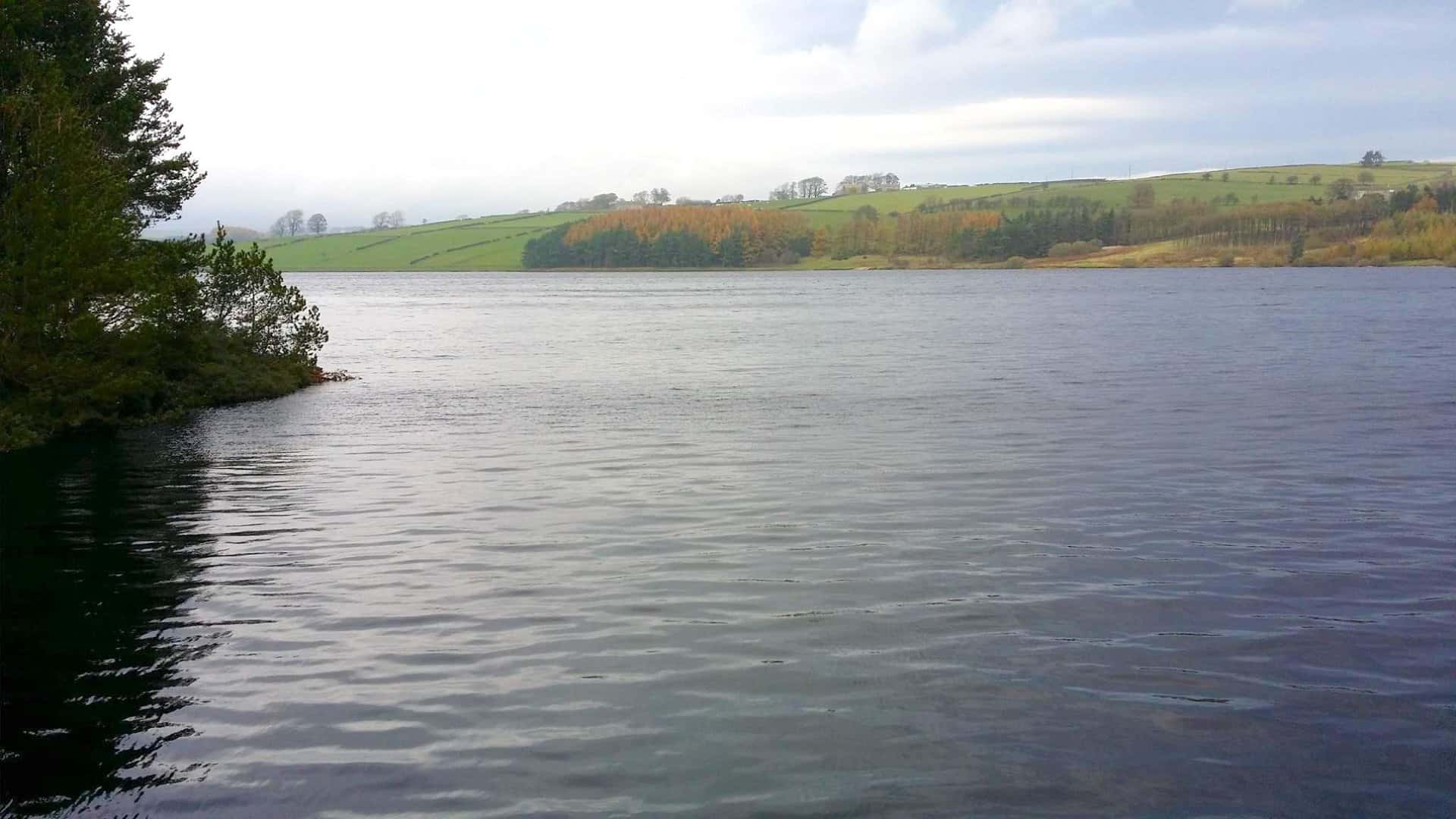
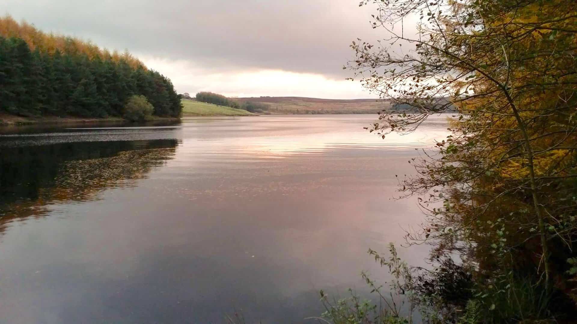
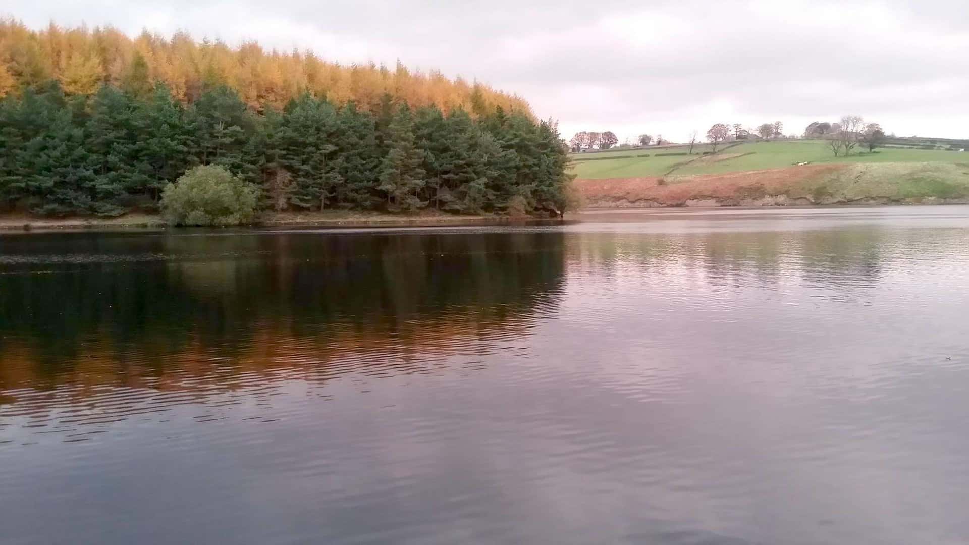
Thruscross Reservoir Walk: My Photos
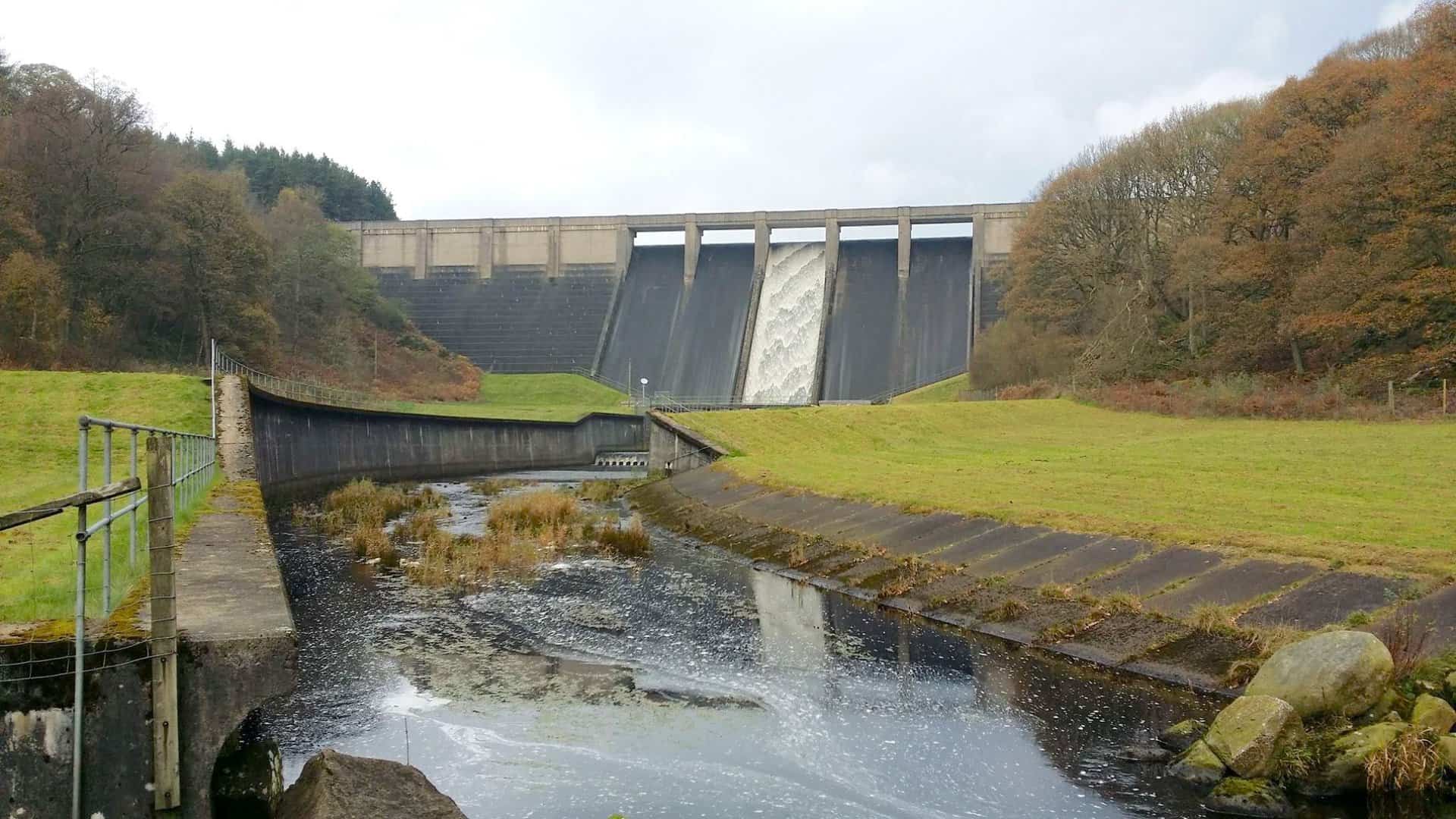
Thruscross Reservoir dam.
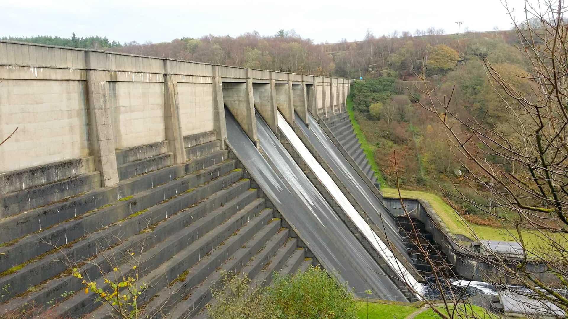
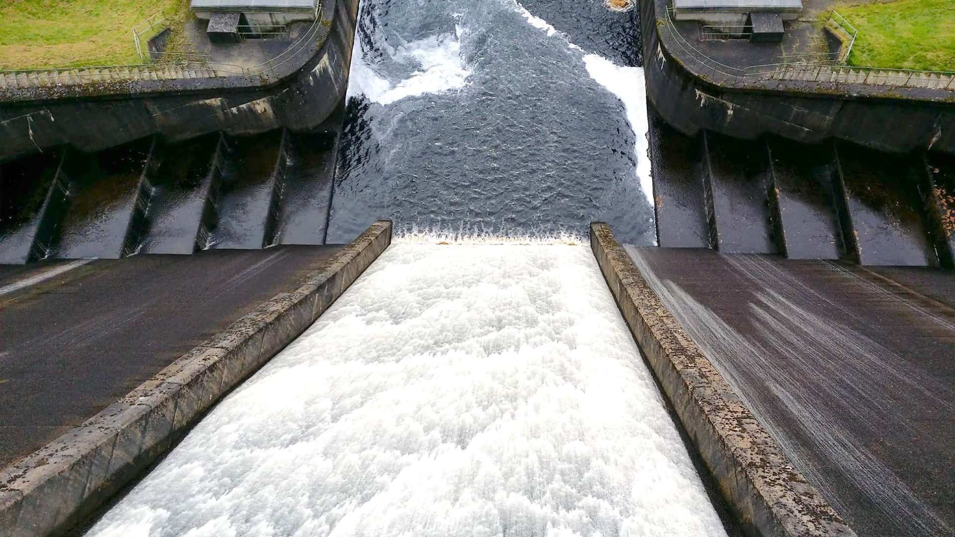
Thruscross Reservoir overflow.
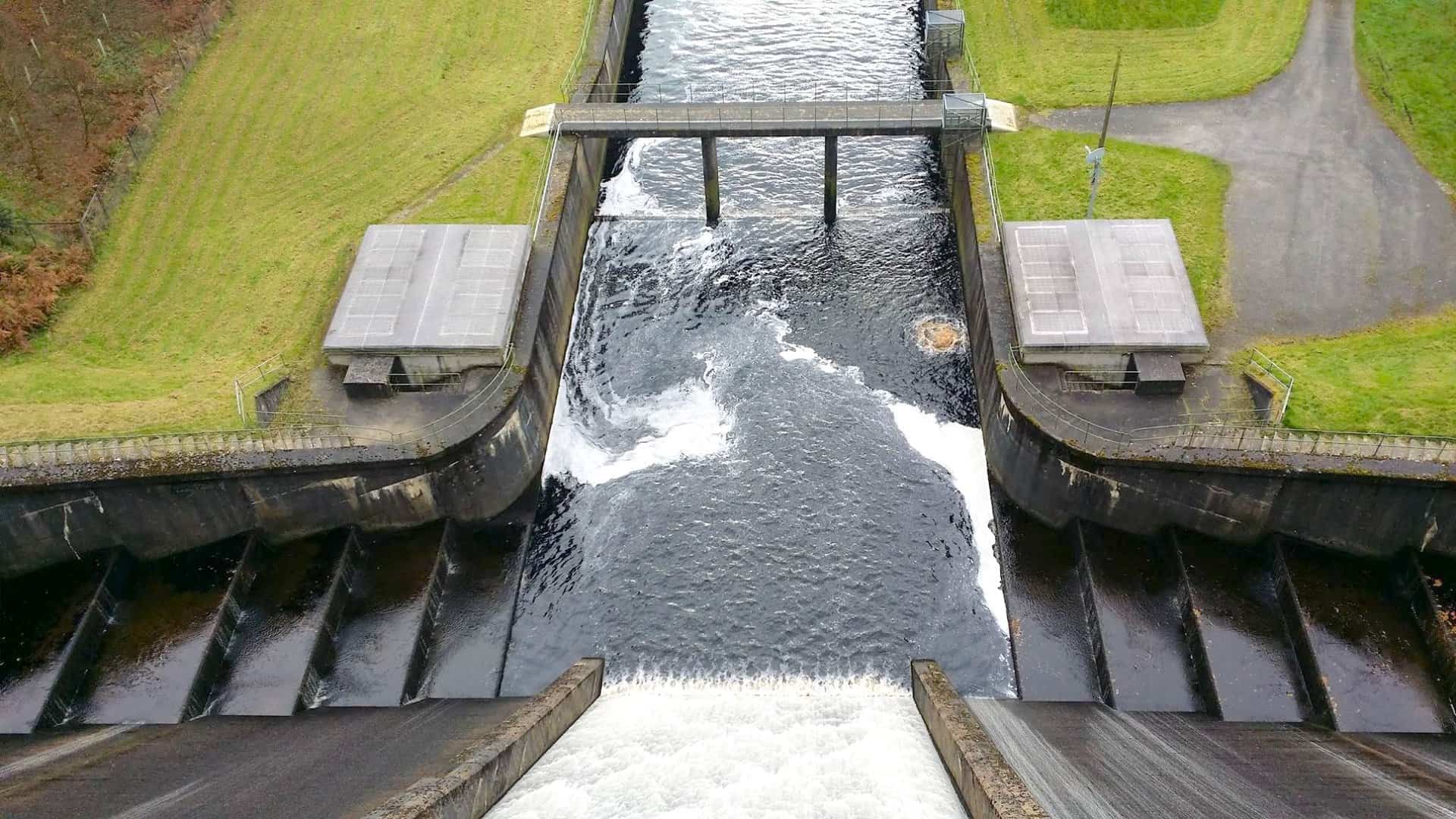
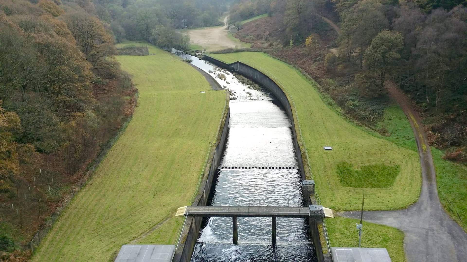
Thruscross Reservoir weirs on the River Washburn. The river flows south into Fewston Reservoir.
Managed Heather Burning
The heather covering the moorland is an important habitat. Short (young) heather provides food for sheep and red grouse, and shelter and nest sites for some ground-nesting birds. Taller (older) heather provides shelter and nest sites for birds and other wildlife.
However, if left undisturbed, heather plants will live for over 20 years and the stems eventually become very tough and woody, with few leaves or flowers. Consequently, gamekeepers manage the heather by burning it when the stems get to about wellie-top height. They burn different patches each year in rotation, so that there are always areas of short heather and tall heather close together.
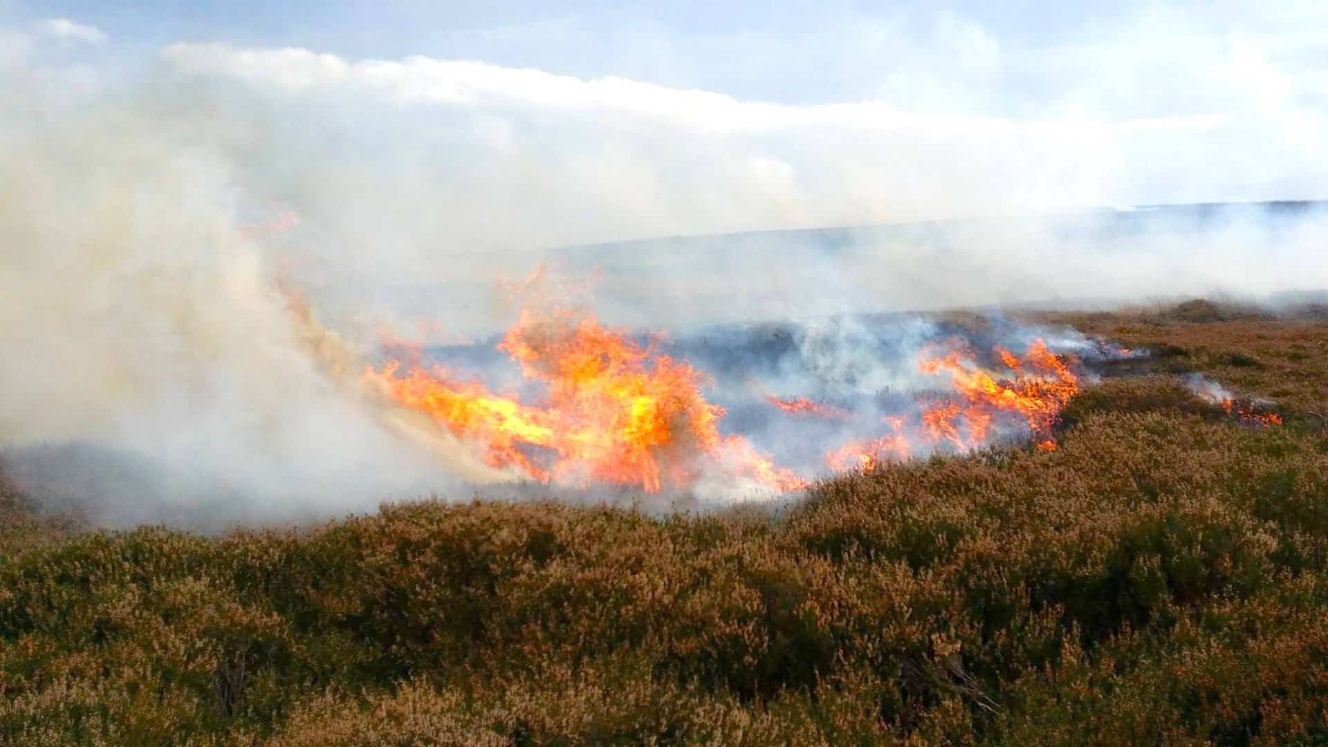
Burning takes place over the winter and in early spring when there are no birds nesting on the ground and the soil is generally wet. The fires are small and carefully controlled so they don’t spread or damage the peaty soil. The following year new green shoots grow from underground stems and seeds.
The result is moorland that often looks like a patchwork quilt, with some areas of short, young heather for grouse and sheep to eat and some patches of taller, older heather for grouse to shelter and nest in. This creates a more diverse habitat, which is better for many other plants and animals too.
Permissive footpath along the southern banks of Thruscross Reservoir.
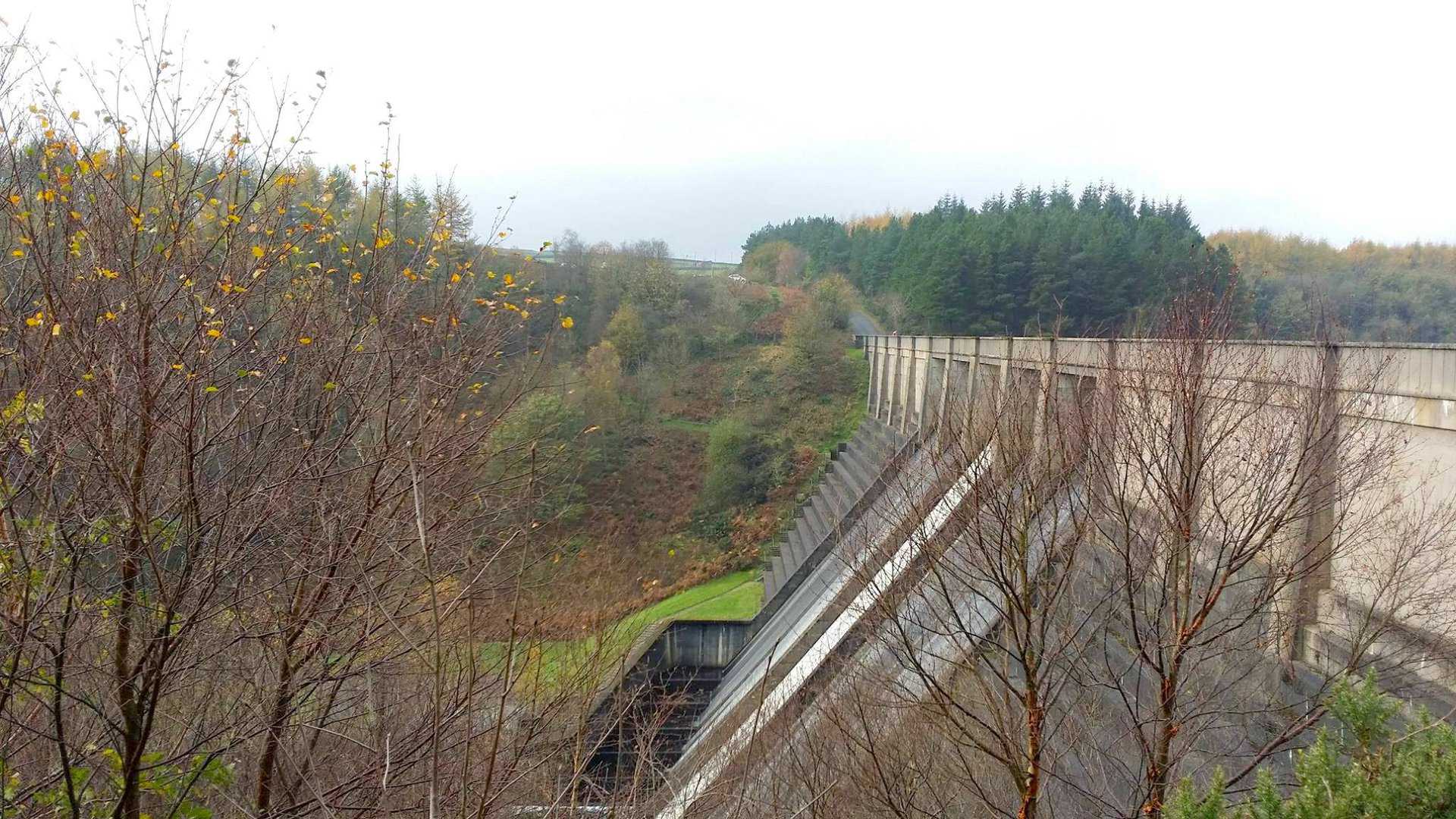
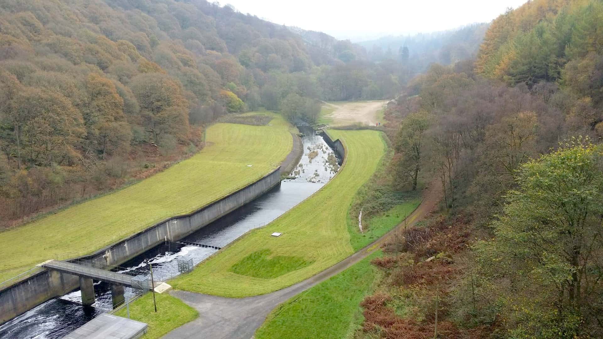
Thruscross Reservoir
Amazon’s Top Walking Boots: Four Standout Choices for Men and Women
For walking and hiking, the right boots are essential for both comfort and safety. While Amazon boasts a wide range, certain boots emerge as top-sellers. From those, here are four I personally favour. As an Amazon affiliate, I may earn a small commission from any purchases made through the links provided. This helps support the upkeep of this website. Rest assured, you won’t pay a penny extra, but your purchase will contribute to keeping my site running smoothly. Happy walking!

Berghaus Men’s Hillmaster II Gore-Tex Walking Boots
These fully waterproof leather walking boots feature a Gore-Tex lining, ensuring no water enters whilst allowing feet to breathe and stay cool. Made from full-grain leather, they promise unmatched durability and comfort. The boots come with memory foam tongues and cuffs that mould to your feet for a tailored fit, and the Vibram Hillmaster outsoles offer confidence on challenging terrains.

Salewa Men’s Mountain Trainer Mid Gore-Tex Walking Boots
Made from durable suede and abrasion-resistant textile, these men’s hiking boots are both lightweight and sturdy. The upper material is enhanced by a 360° full rubber sheath. Their dual-layer midsole with Bilight technology ensures ergonomic cushioning and grip, especially on extended hikes. The Vibram Wrapping Thread Combi outsoles allow a natural walking feel, and the Gore-Tex lining provides waterproofing, breathability, and optimal weather protection. Furthermore, the patented Salewa 3F system ensures flexibility, a secure heel grip, and a blister-free fit.

Berghaus Women’s Supalite II Gore-Tex Walking Boots
Specially designed for women, these hiking boots offer waterproofing and breathability, thanks to their Gore-Tex lining. Crafted from full-grain abrasion-resistant leather, they’re durable enough for the toughest hikes. The Supalite soles ensure stability and traction, and the EVA midsoles add comfort for extended walks.

Merrell Women’s Moab 3 Mid Gore-Tex Walking Boots
These hiking boots incorporate a Gore-Tex waterproof membrane, blending breathability with superior waterproof performance. The combination of pigskin leather and mesh on the uppers, along with the suede outer material, ensure durability and style. Enhancements include 100% recycled laces, webbing, and mesh lining. Additionally, bellows tongues, protective toe caps, and Vibram TC5+ rubber soles ensure protection and ease on any terrain.