Navigating Roundhill Reservoir and Masham Moor on the Leighton Reservoir Walk
Begin your Leighton Reservoir walk by parking on the north side of Leighton Reservoir. Note that there are limited spaces by the side of the road. From here, head north-east towards Reservoir House. Next, descend to the Leighton Reservoir dam and cross it. Continue along the southern banks of Leighton Reservoir, which will lead you south-west to the Roundhill Reservoir dam. Proceed along the southern shores of Roundhill Reservoir until you come to the bridge at Round Hill, which you’ll cross.
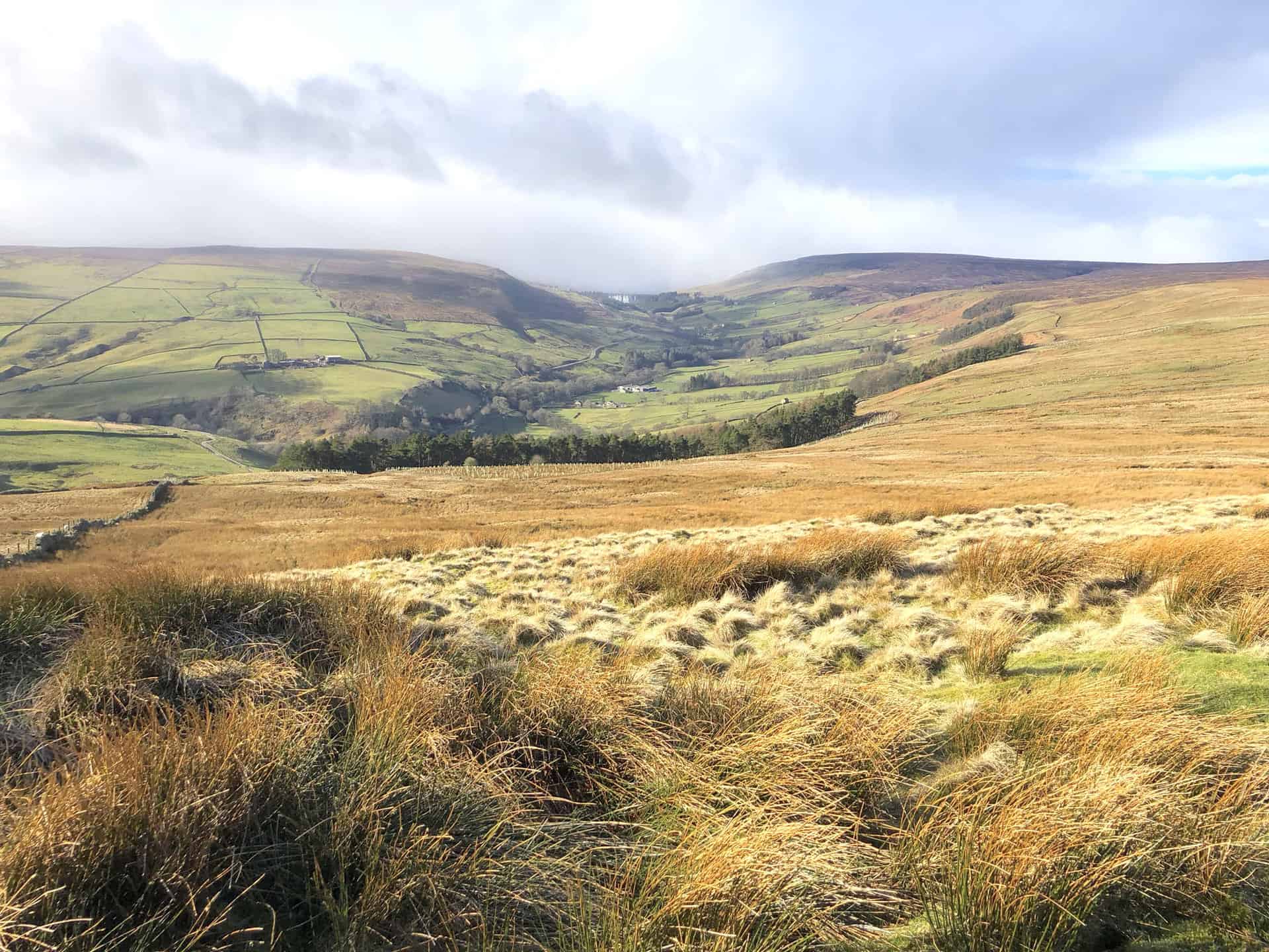
From the bridge, navigate your way to Low Ash Head. Change your direction north, and then turn north-west towards West Summer Side, eventually arriving at Pott Moor High Road. Embark on a westward journey across Pott Moor, directing you to the footpath on Dale Edge. Keep going in a north-west direction until you reach Little Haw. From this point, make your descent to the head of Steel House Gill. As you continue eastward, appreciate the landscapes alongside Steel House Gill and the River Burn until you arrive at the shooting house.
Upon turning north-east, the picturesque Coal Road above Colsterdale awaits. Follow the descending path to Gollinglith Foot. From this spot, journey south, passing by the rustic Pickersgill House. As you connect with the Six Dales Trail, you’ll encounter landmarks such as Towler Hill and High Sourmire. Once you touch upon Pott Moor High Road again, a north-eastern walk will guide you past Pott Hall Farm, leading back to your starting point.
In conclusion, the 16-mile Leighton Reservoir walk presents a moderately challenging route, offering an immersive experience of Nidderdale’s serene beauty. Ensure your walking gear is prepped for a memorable adventure!
Leighton Reservoir Walk: Maps and Tools
Visit either the OS Maps website or the Outdooractive website to view this walking route in greater detail. Both platforms offer a range of features, including the ability to print the route, download it to your device, and export the route as a GPX file. You can also watch a 3D fly-over and share the route on social media.
Leighton Reservoir Walk: Distance, Duration, Statistics
Distance: 16½ miles
Distance: 26½ kilometres
Duration: 7¾ hours
Ascent: 2190 feet
Ascent: 668 metres
Type: Circular walk
About Leighton Reservoir
If you’re keen on exploring the scenic spots of North Yorkshire, consider the Leighton Reservoir walk. Located about four miles west of Masham, Leighton Reservoir is nestled beside Roundhill Reservoir and is named after the nearby Leighton village.
Initiated by the Leeds Corporation in 1908, the construction of the reservoir mostly concluded by March 1926. However, the final touches, specifically cementation, weren’t finalised until 1941. Despite plans to build another reservoir in Colsterdale, it was ultimately decided that Leighton Reservoir would be constructed on two tributaries of the Burn: Pott Beck and Spruce Gell. The reservoir started filling with water in the winter of 1926-1927. To give you an idea of the construction costs, a 1910 newspaper report projected a price tag of £437,000, which would be akin to £47,459,000 today.
The reservoir plays a pivotal role by compensating for water taken from the River Ure. And while it isn’t technically in Nidderdale, it is within the Nidderdale Area of Outstanding Natural Beauty. For fishing enthusiasts, Leighton offers accessible fishing spots, with the Swinton Estate owning the land and stocking the reservoir with fish. You’ll also find convenient parking options.
Historically, the creation of Leighton and its neighbouring reservoirs required the construction of an industrial railway to transport materials. A 6-mile railway from Masham railway station’s north end was set up in 1905 for this purpose, but by 1930, it was no longer in operation.
Some quick facts: Leighton Reservoir has an average depth of 36 feet, covers an area of 91 acres, has a catchment of 5,600 acres, and is situated 617 feet above sea level.
Next time you’re in the Nidderdale area, why not immerse yourself in the beauty of the Leighton Reservoir walk? And while you’re there, consider exploring the Thruscross Reservoir walk, Swinsty Reservoir walk, and Fewston Reservoir walk as well.
Recommended Ordnance Survey Map
The best map to use on this walk is the Ordnance Survey map of Nidderdale, reference OS Explorer 298, scale 1:25,000. It clearly displays footpaths, rights of way, open access land and vegetation on the ground, making it ideal for walking, running and hiking. The map can be purchased from Amazon in either a standard, paper version or a weatherproof, laminated version, as shown below.
Weatherproof Version
Ordnance Survey map of Nidderdale, reference OS Explorer 298, scale 1:25,000
Leighton Reservoir Walk: My Photos
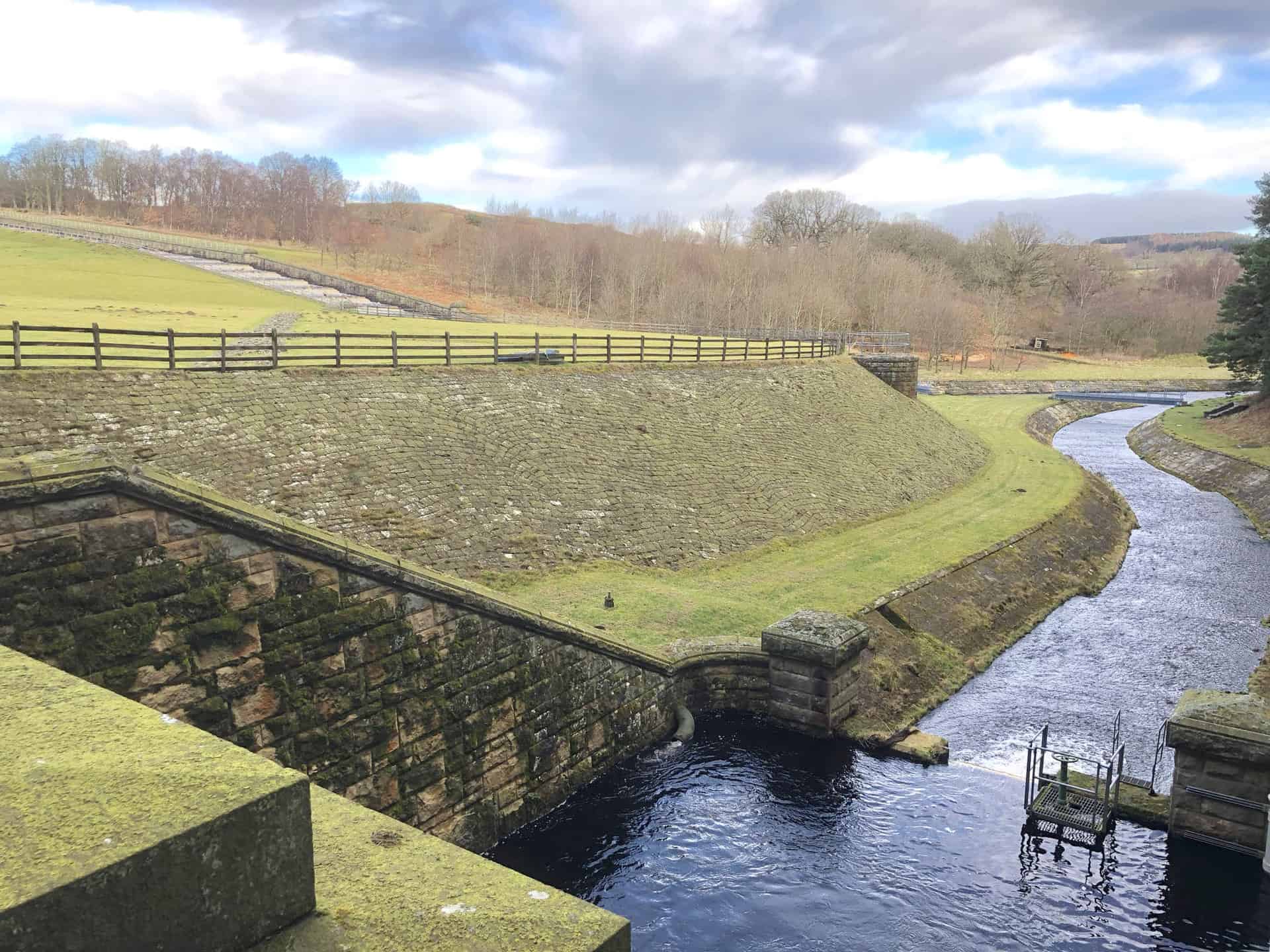
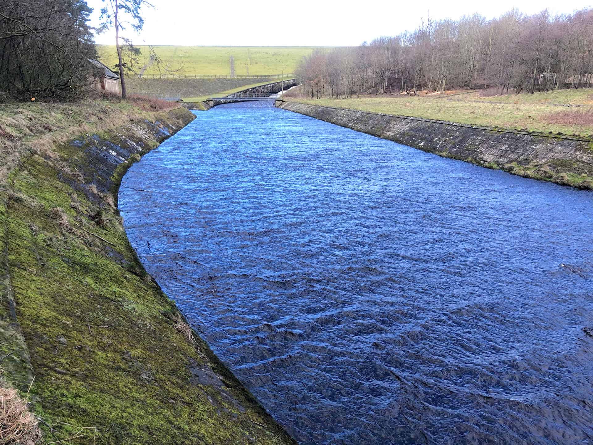
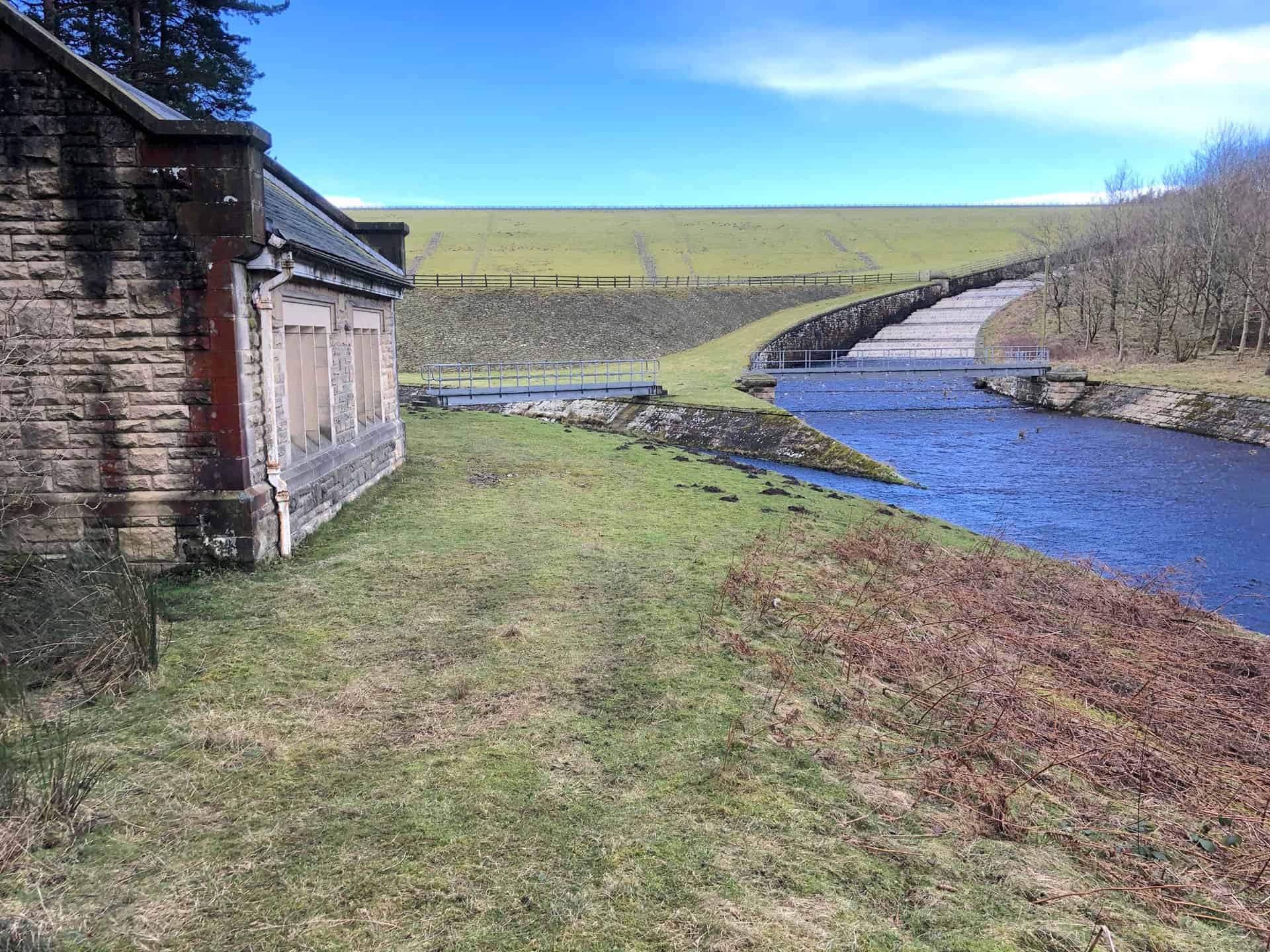
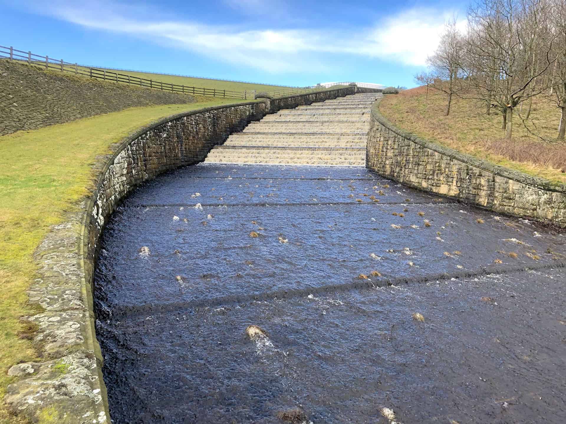
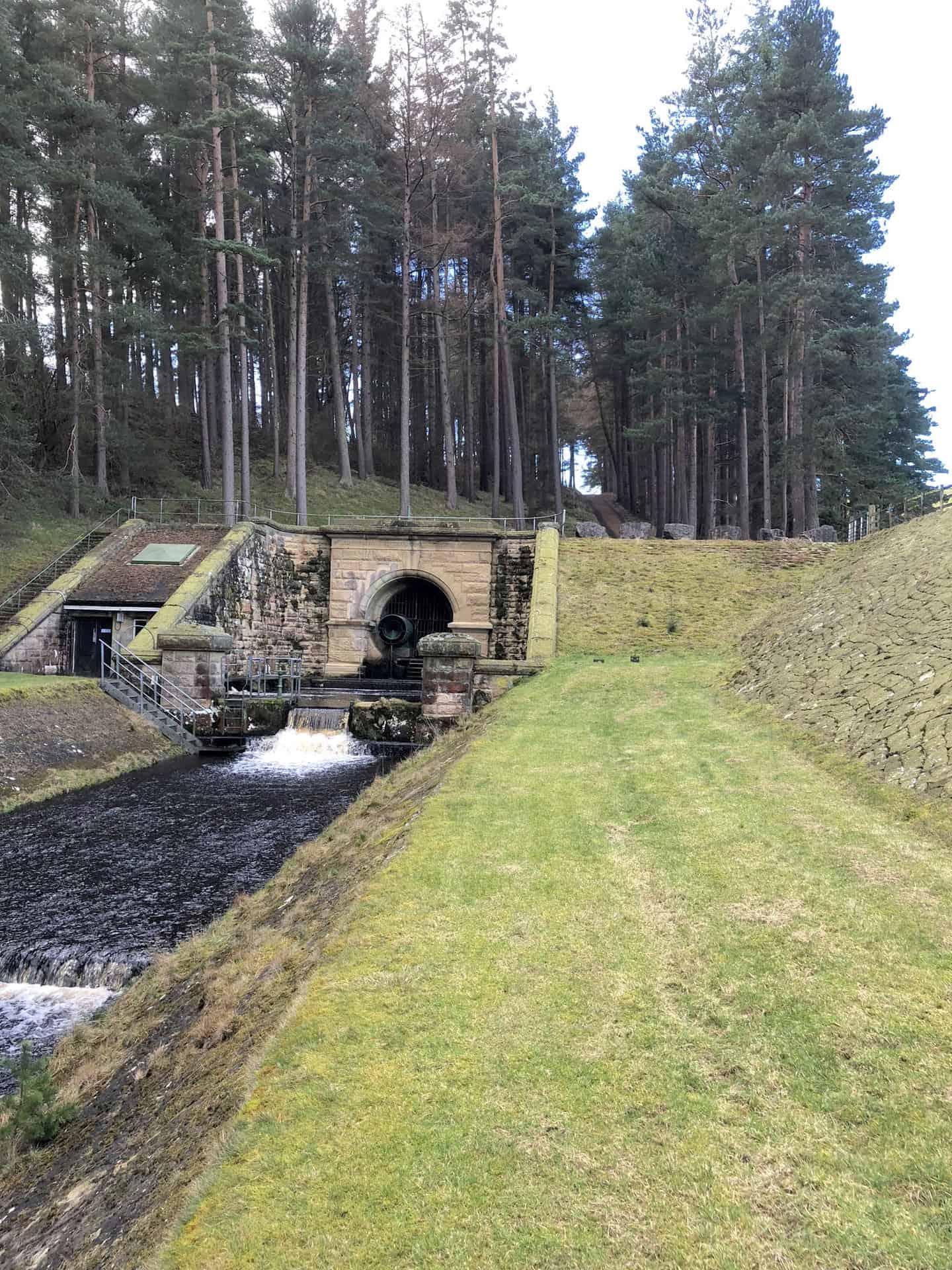
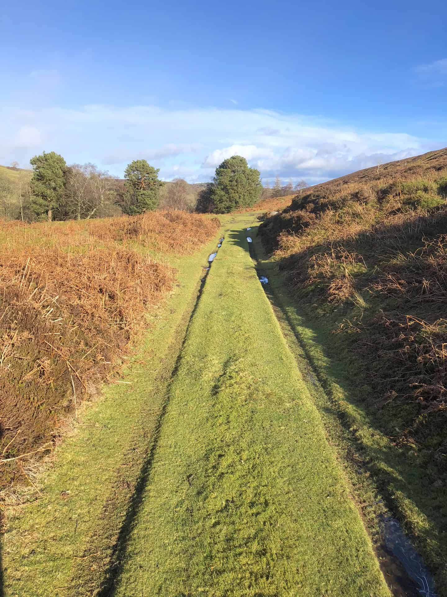
Leighton Reservoir primary overflow area and weir. Water is drained from the northern end of the reservoir dam and forms Pott Beck which flows into the River Burn.
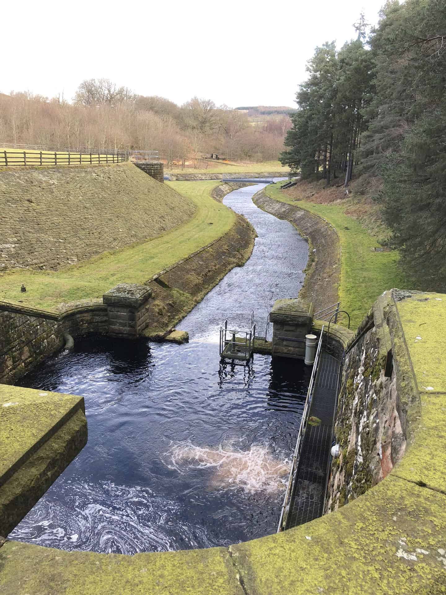
A secondary drainage system at the southern end of the reservoir dam.
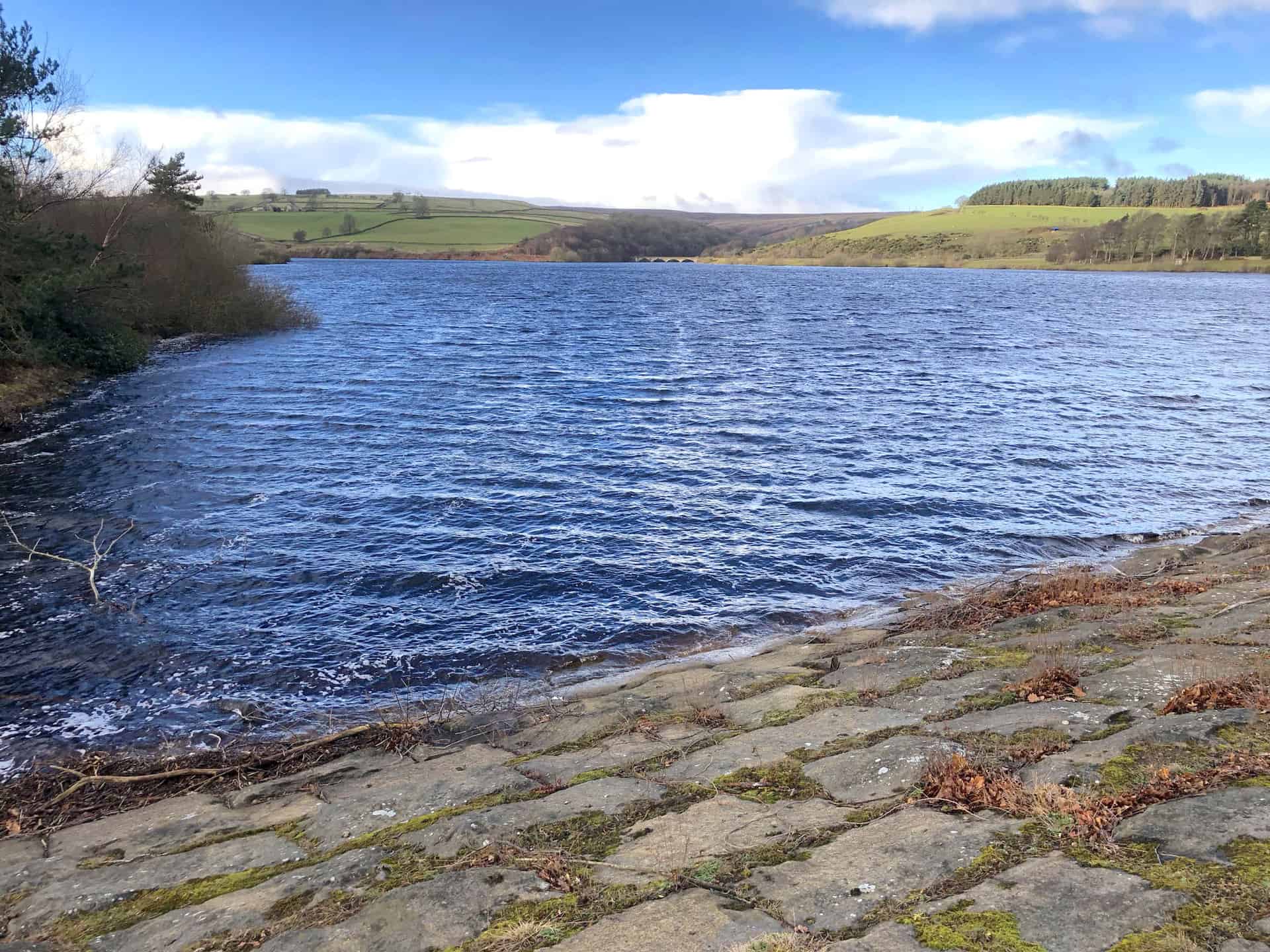
Leighton Reservoir.
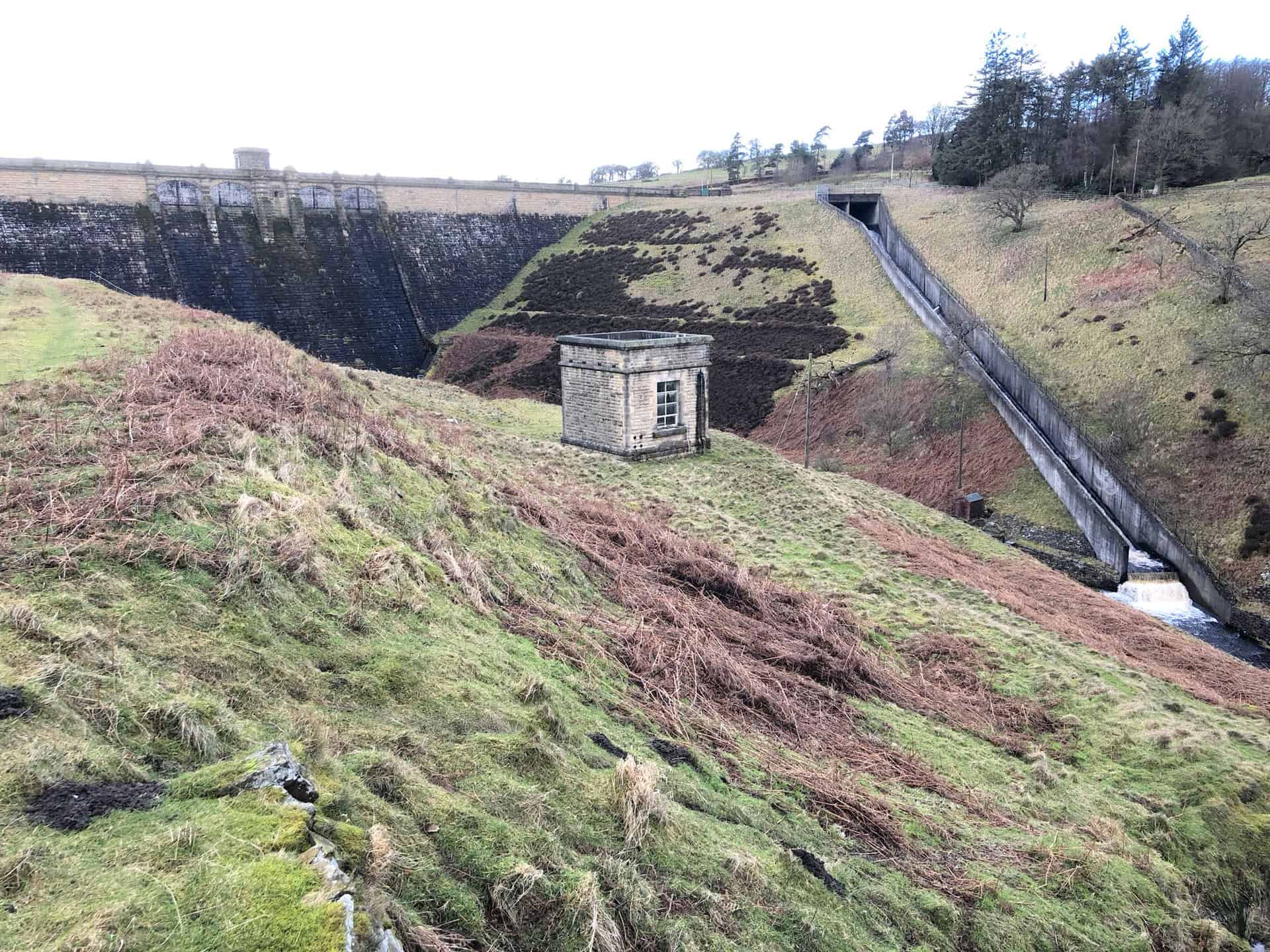
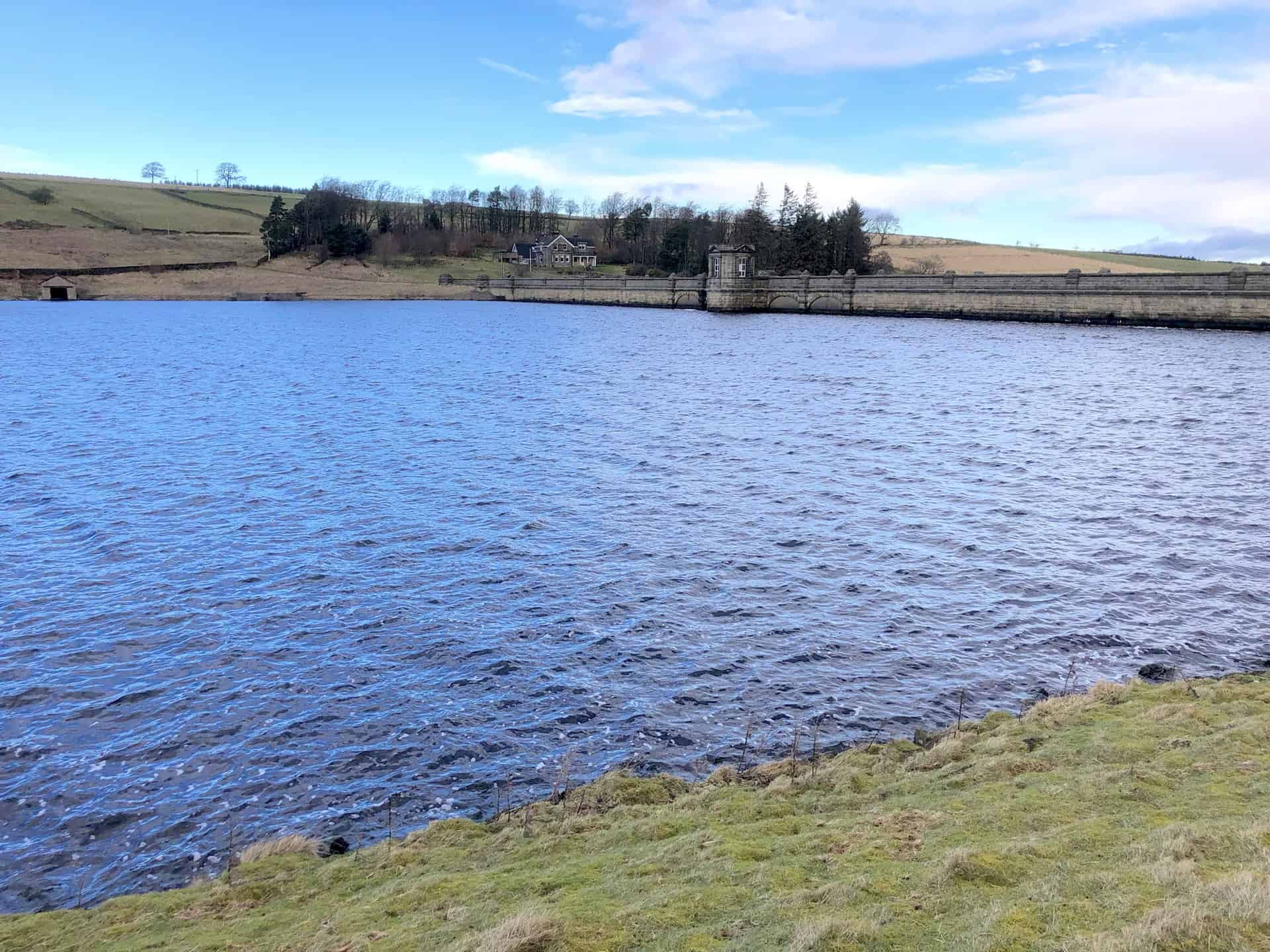
Roundhill Reservoir dam.
Roundhill Reservoir.
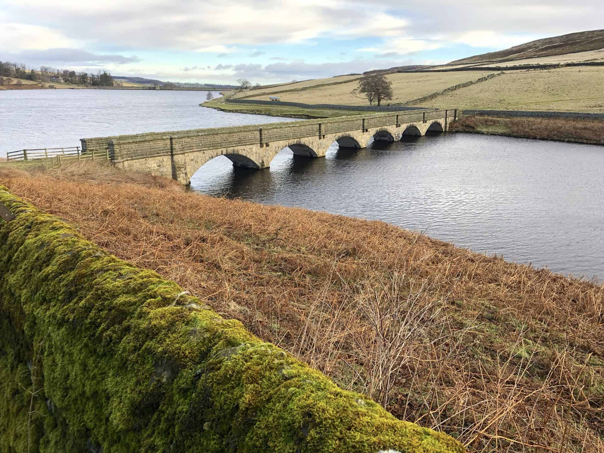
Footbridge across Roundhill Reservoir at Round Hill.
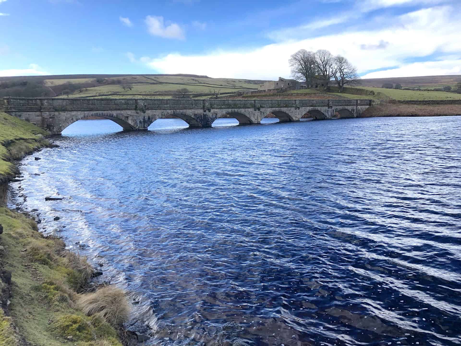
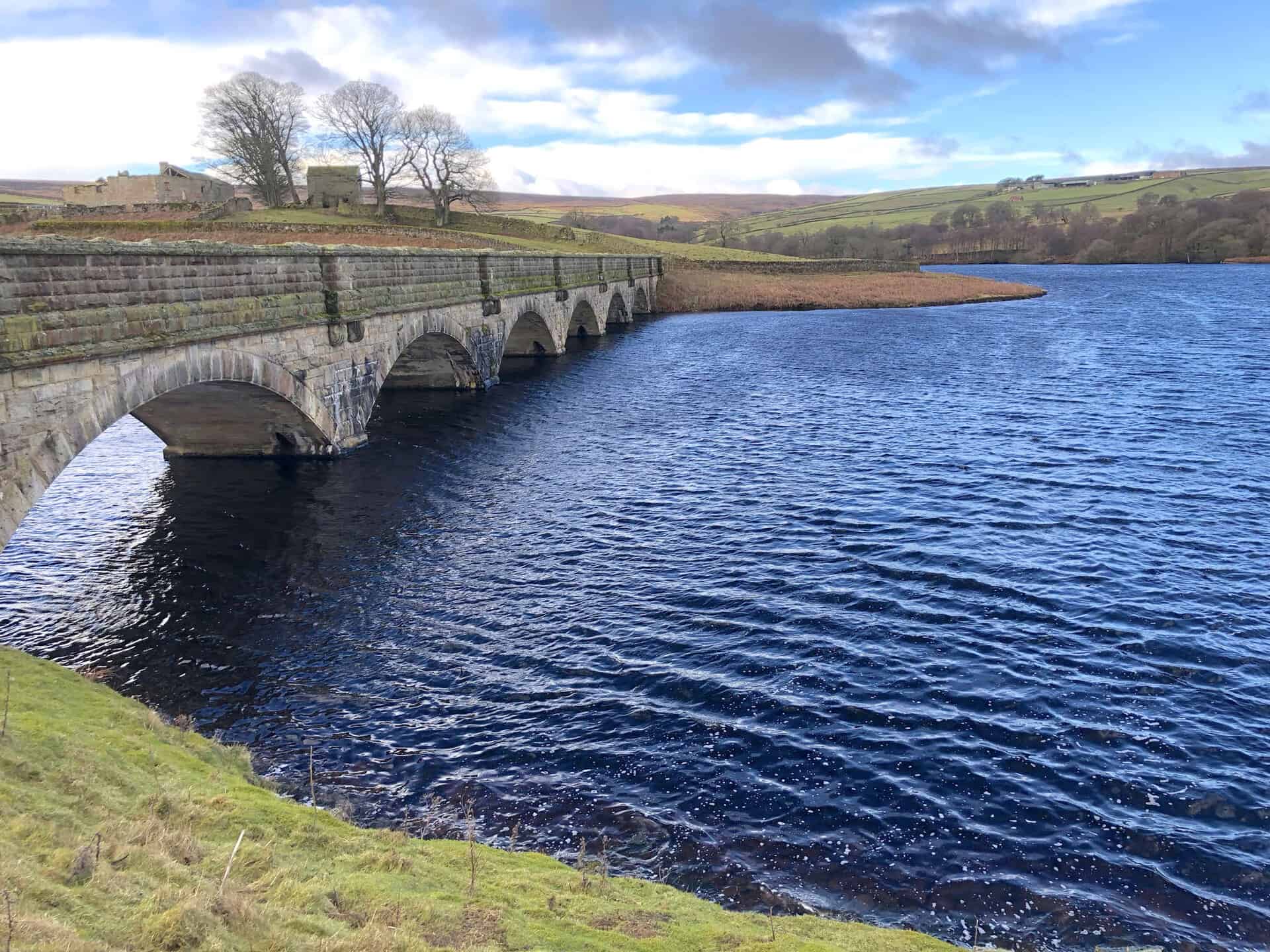
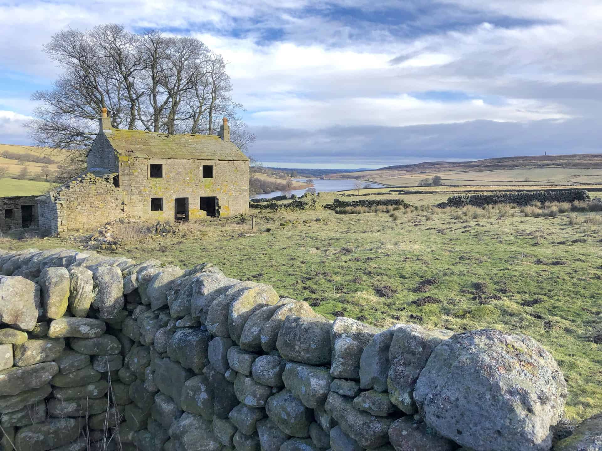
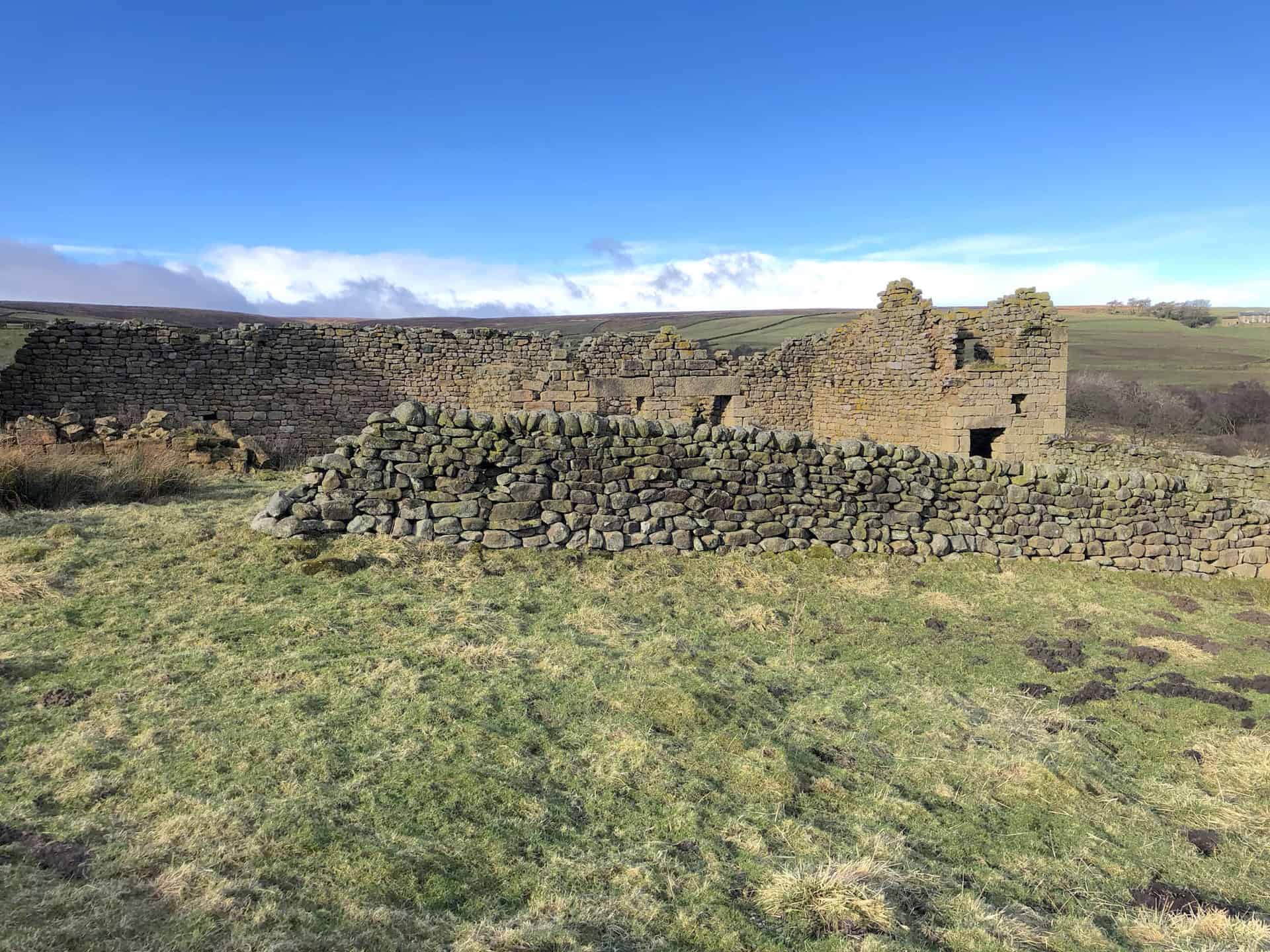
Old farm buildings on Round Hill.
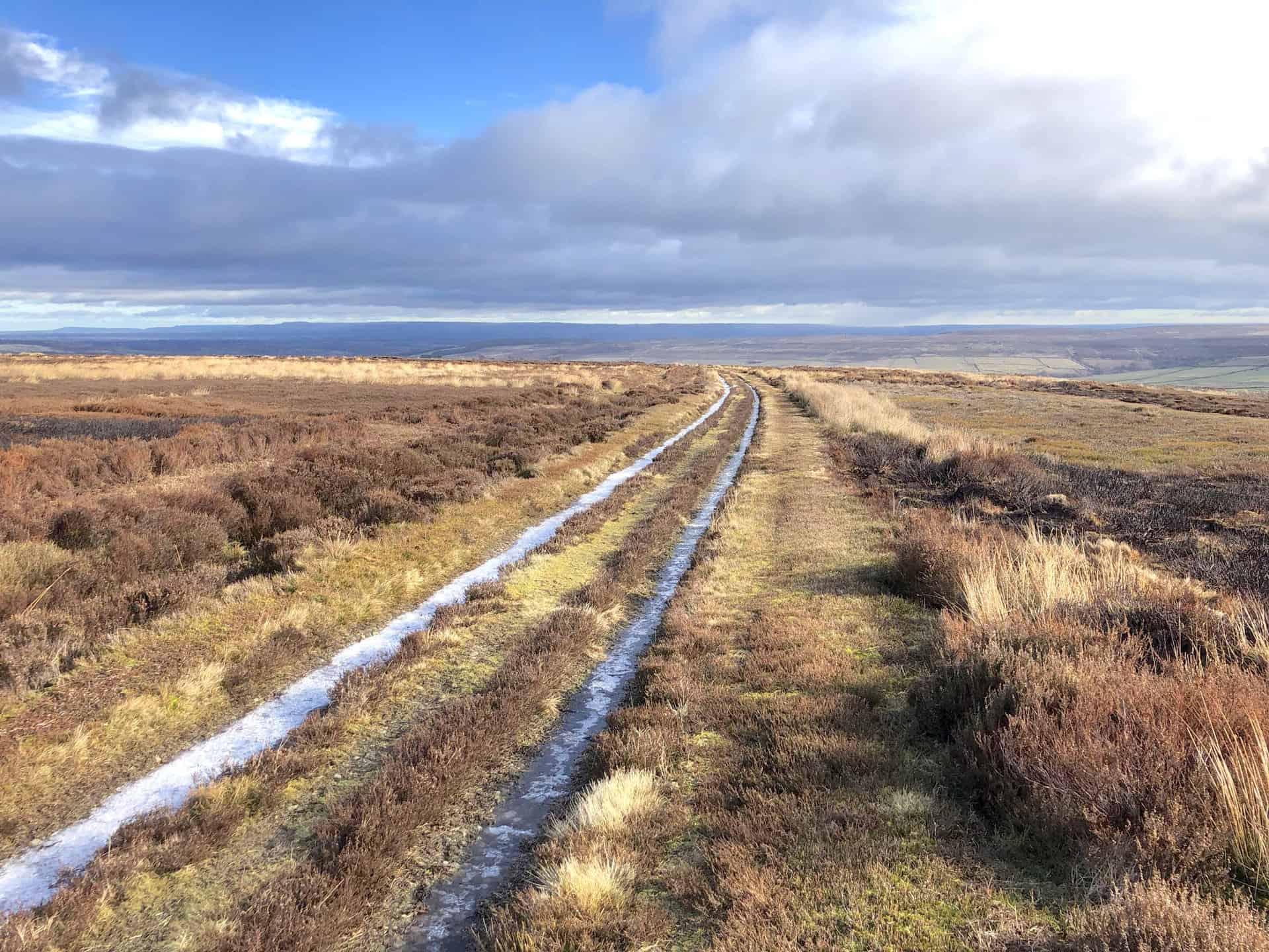
The path across Pott Moor.
The footpath across Dale Edge.
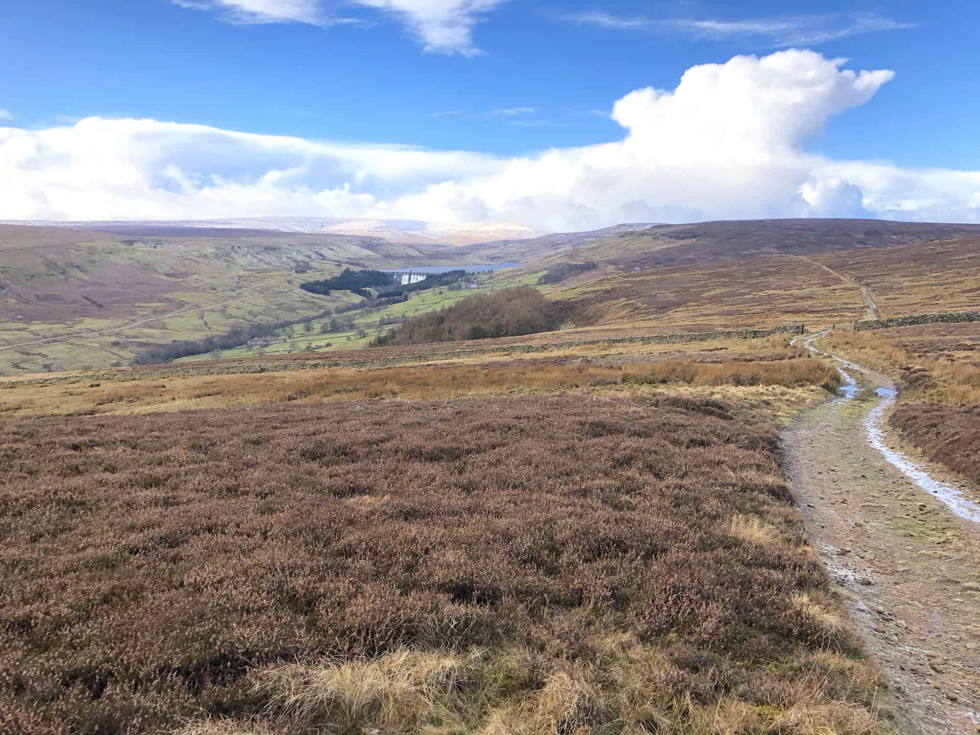
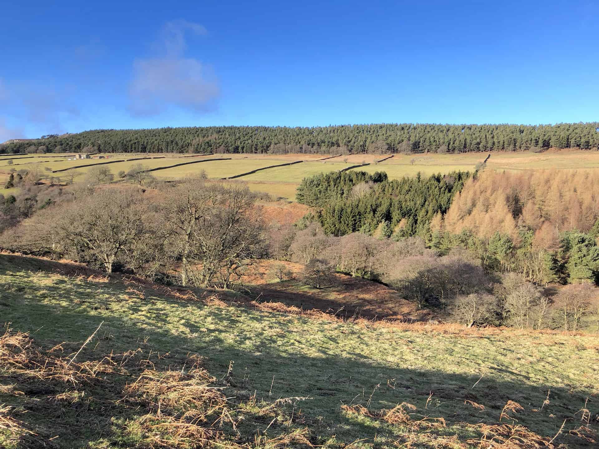
The views from Dale Edge over Nidderdale towards Scar House Reservoir.
Scar House Reservoir and dam, with Little Whernside and Great Whernside in the background.
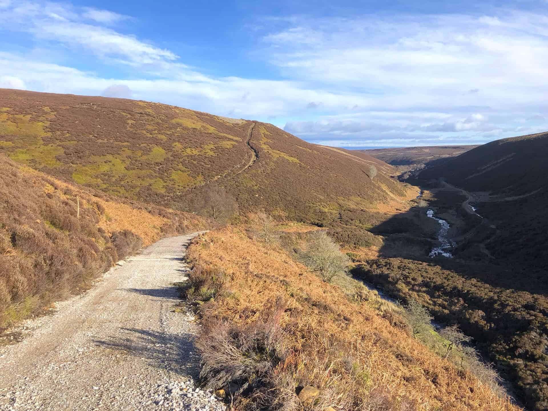
Steel House Gill.
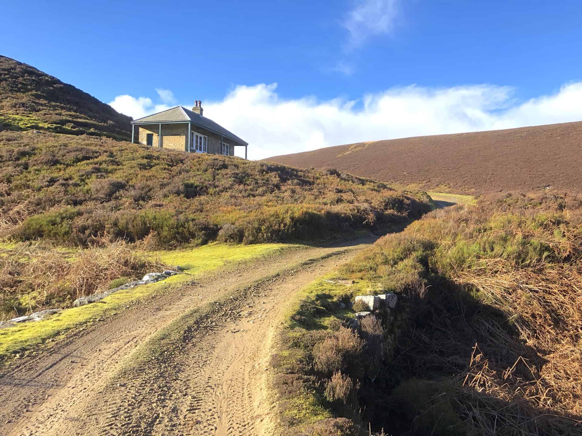
Shooting house at the end of Throny Grane Gill.
Coal Road (Track) on the way to Gollinglith Foot.
Looking north over Colsterdale.
Farmland just south of Gollinglith Foot.
Amazon’s Top Walking Boots: Four Standout Choices for Men and Women
For walking and hiking, the right boots are essential for both comfort and safety. While Amazon boasts a wide range, certain boots emerge as top-sellers. From those, here are four I personally favour. As an Amazon affiliate, I may earn a small commission from any purchases made through the links provided. This helps support the upkeep of this website. Rest assured, you won’t pay a penny extra, but your purchase will contribute to keeping my site running smoothly. Happy walking!

Berghaus Men’s Hillmaster II Gore-Tex Walking Boots
These fully waterproof leather walking boots feature a Gore-Tex lining, ensuring no water enters whilst allowing feet to breathe and stay cool. Made from full-grain leather, they promise unmatched durability and comfort. The boots come with memory foam tongues and cuffs that mould to your feet for a tailored fit, and the Vibram Hillmaster outsoles offer confidence on challenging terrains.

Salewa Men’s Mountain Trainer Mid Gore-Tex Walking Boots
Made from durable suede and abrasion-resistant textile, these men’s hiking boots are both lightweight and sturdy. The upper material is enhanced by a 360° full rubber sheath. Their dual-layer midsole with Bilight technology ensures ergonomic cushioning and grip, especially on extended hikes. The Vibram Wrapping Thread Combi outsoles allow a natural walking feel, and the Gore-Tex lining provides waterproofing, breathability, and optimal weather protection. Furthermore, the patented Salewa 3F system ensures flexibility, a secure heel grip, and a blister-free fit.

Berghaus Women’s Supalite II Gore-Tex Walking Boots
Specially designed for women, these hiking boots offer waterproofing and breathability, thanks to their Gore-Tex lining. Crafted from full-grain abrasion-resistant leather, they’re durable enough for the toughest hikes. The Supalite soles ensure stability and traction, and the EVA midsoles add comfort for extended walks.

Merrell Women’s Moab 3 Mid Gore-Tex Walking Boots
These hiking boots incorporate a Gore-Tex waterproof membrane, blending breathability with superior waterproof performance. The combination of pigskin leather and mesh on the uppers, along with the suede outer material, ensure durability and style. Enhancements include 100% recycled laces, webbing, and mesh lining. Additionally, bellows tongues, protective toe caps, and Vibram TC5+ rubber soles ensure protection and ease on any terrain.