The Path Less Travelled to Stybarrow Dodd Over Watermillock Common
Begin your Stybarrow Dodd walk at the small car park located on the south side of Dockray, directly across the road bridge beside the A5091. From there, head south-west, ascending from Dockray to Common Fell. Proceed across Watermillock Common to Swineside Knott. Next, travel west, circumnavigating the Glencoyne valley along the path beneath Scot Crag and Glencoyne Head.
Continue further west below the steep slopes of Green Side, following Sticks Gill. You will reach a crossroads known as Sticks Pass, a crucial waypoint on your journey to Stybarrow Dodd. From Sticks Pass, take a northerly route to ascend to the summit of Stybarrow Dodd, a significant peak in the Lake District.
After reaching Stybarrow Dodd, carry on in a north-east direction across the fells towards Hart Side. Proceed from Hart Side to Birkett Fell, then make your descent to the quaint hamlet of Dowthwaitehead. This part of the walk offers a gradual descent and provides changing scenery with some excellent views.
Finish your walking adventure by heading north-east from Dowthwaitehead, passing through Crookwath and Beckbottom. This final leg traces the course of Aira Beck, guiding you back to the starting point. The complete route is a satisfying 10-mile walk through the picturesque terrain of the Lake District.
Stybarrow Dodd Walk: Maps and Tools
Visit either the OS Maps website or the Outdooractive website to view this walking route in greater detail. Both platforms offer a range of features, including the ability to print the route, download it to your device, and export the route as a GPX file. You can also watch a 3D fly-over and share the route on social media.
Stybarrow Dodd Walk: Distance, Duration, Statistics
Distance: 10 miles
Distance: 16 kilometres
Duration: 5¼ hours
Ascent: 2561 feet
Ascent: 781 metres
Type: Circular walk
About Stybarrow Dodd
Stybarrow Dodd is a delightful mountain situated in the heart of the English Lake District. Its name, believed to mean ‘the hill of the steep path’, reflects the challenging terrain that has enthralled walkers and climbers for generations. This fell is part of the eastern fells of the Lake District and proudly lies between Thirlmere and Ullswater, two of the area’s most beautiful lakes.
The summit of Stybarrow Dodd is distinguished by its smooth, grass-covered dome, a feature it shares with its neighbours, Watson’s Dodd and Great Dodd. Together, these fells are endearingly referred to as ‘The Three Dodds’. Standing at 843 metres, the summit is impressive, not least because of the volcanic rock from which it is formed.
For explorers, the topography of Stybarrow Dodd is full of variety. From its peak, ridges extend outward in all directions. The western slope descends into valleys shaped by historic streams, now harnessed to supply the Thirlmere Reservoir. The fell’s eastern side is more intricate, with ridges that divide and encompass stunning valleys leading towards Ullswater.
There are two distinct summits atop Stybarrow Dodd. The more frequented south-western summit sits on the ridge path, marked by a cairn. The true summit, however, is to the north-east; a serene spot marked by a small cairn with an upright piece of slate. From the north-eastern summit, the panorama of the Lake District fells is unobstructed and truly breathtaking.
Access to Stybarrow Dodd is straightforward as it sits on Open Access land. Western routes begin at Stanah, following the bridleway to Sticks Pass. Eastern approaches start from Glenridding, leading up diverse trails to the summit. For those approaching from the north-east, the Hart Side ridge or Deepdale valley offer rewarding ascents.
The geological story of Stybarrow Dodd is as fascinating as its landscape, formed approximately 450 million years ago during a time of intense volcanic activity in the Ordovician Period. This fell is a part of the Borrowdale Volcanic Group, with its rocks bearing testimony to a past filled with volcanic eruptions and significant geological transformations.
The name ‘Stybarrow Dodd’ has evolved through the centuries, originating as ‘Stibarro’ in 1589 and undergoing various changes until the early 1800s. The suffix ‘Dodd’ is a local dialect term for rounded summits, which are typical in the Lake District. Ranking 21st in height on Alfred Wainwright’s list of 214 Lake District fells, this mountain is not only a geological wonder but also a historical landmark in the study of place names.
For adventurers wishing to visit, Stybarrow Dodd can be located using grid reference NY 343 189. It is charted on the OL5 Explorer map and the 90 Landranger map. Alfred Wainwright’s ‘Pictorial Guide to the Lakeland Fells’ provides an in-depth look at this and other fells for those seeking guidance on their journey.
Recommended Ordnance Survey Map
The best map to use on this walk is the Ordnance Survey map of the Lake District North-Eastern Area, reference OS Explorer OL5, scale 1:25,000. It clearly displays footpaths, rights of way, open access land and vegetation on the ground, making it ideal for walking, running and hiking. The map can be purchased from Amazon in either a standard, paper version or a weatherproof, laminated version, as shown below.
Standard Version
Stybarrow Dodd Walk: My Photos
The view west towards Glencoyne Head from the footpath below Brown Hills.
Looking east over to Place Fell from the footpath below Brown Hills. Ullswater is just visible.

Walking in the Yorkshire Dales with 43 Circular Routes
AD This Cicerone guidebook includes 43 circular walks exploring valleys, hills, and moors between Kirkby Stephen and Pateley Bridge. With OS maps, local highlights, and routes ranging from 3–11 miles, it is a year-round companion for walkers of all abilities.
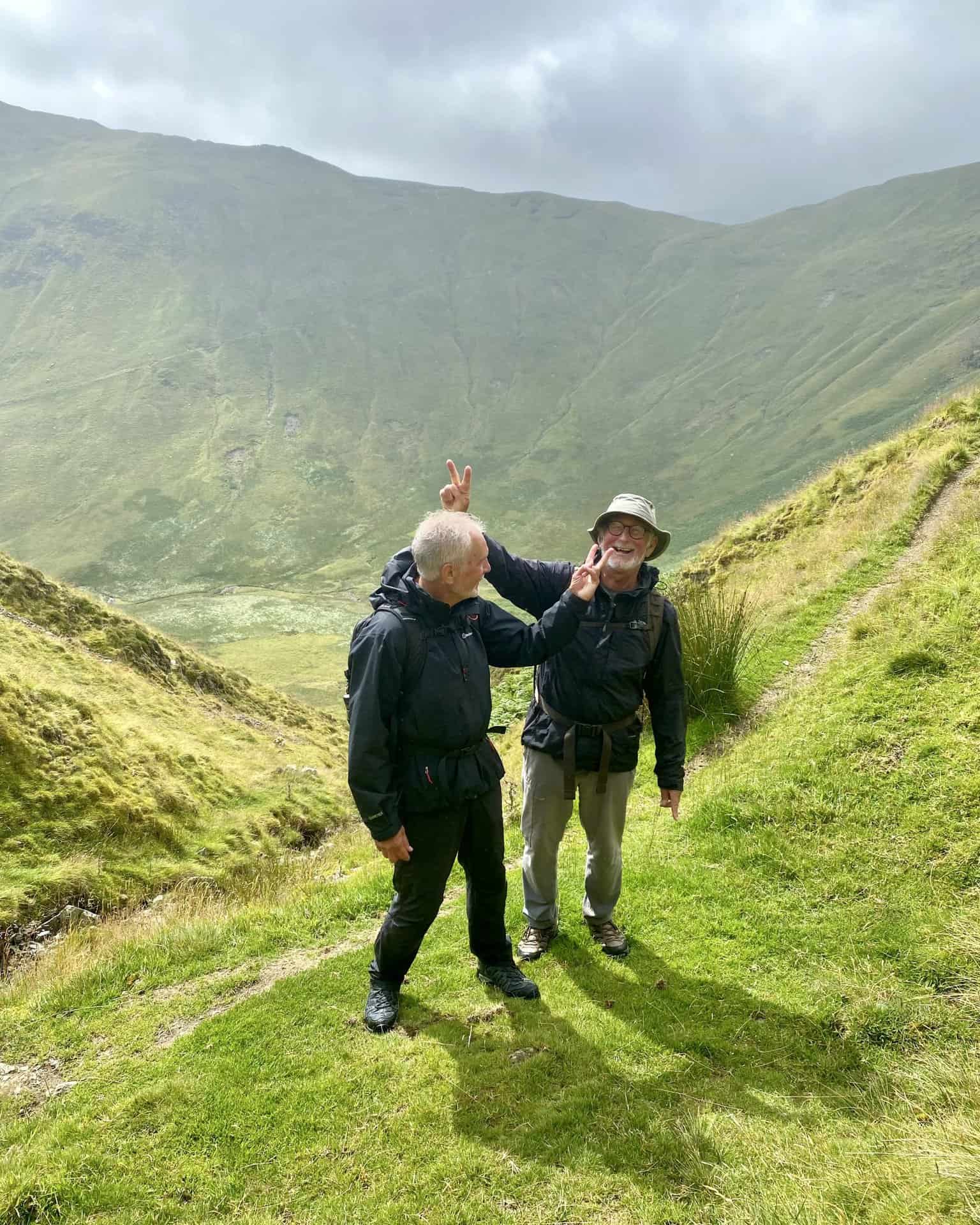
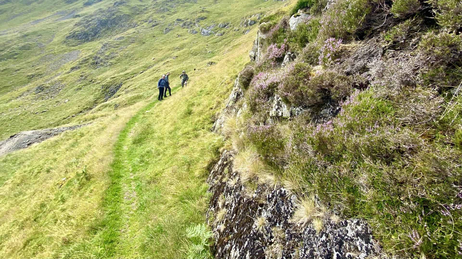
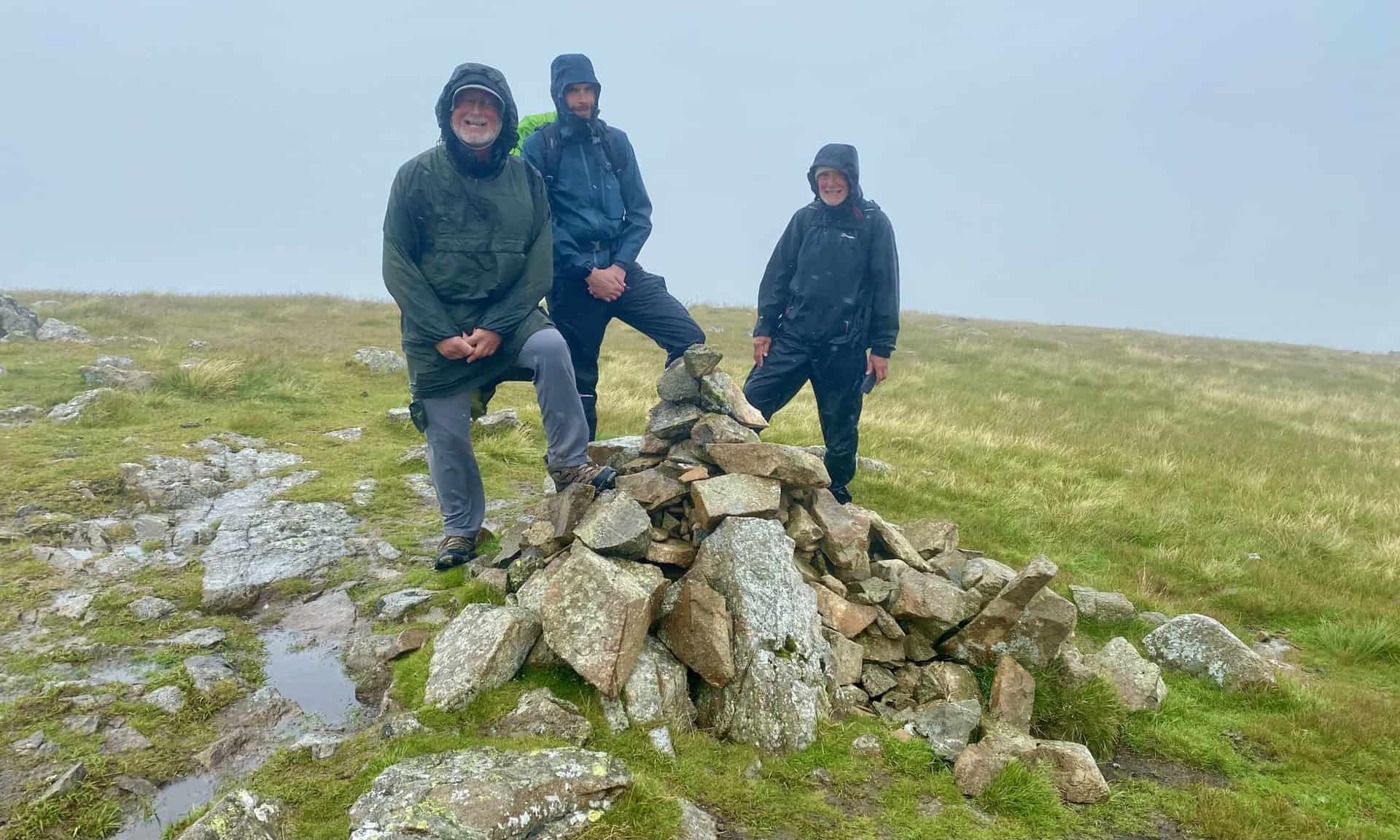
Mike and Keith fooling around against the backdrop of Glencoyne Head.

Grisport Unisex Adult Peaklander Hiking Boots
AD The Grisport Unisex Adult Peaklander Hiking Boots are crafted in Italy with a durable waxed leather upper, Spotex breathable lining, and a reliable Track-on rubber sole. Waterproof and weighing just 1120g, they offer comfort, resilience, and dependable performance on demanding trails.
Walking along the path beneath Scot Crag.
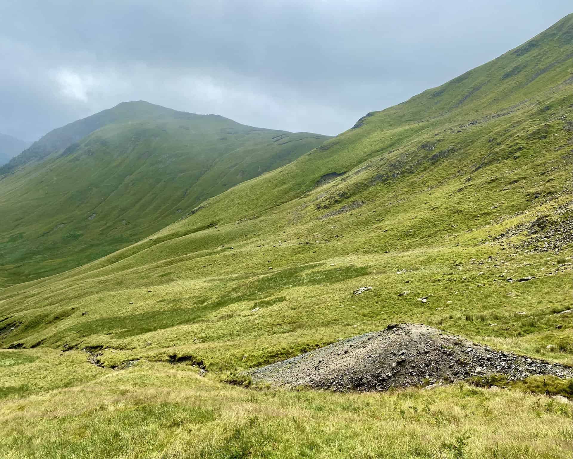
The Glencoyne valley as seen from the path beneath Scot Crag.
Grisport Unisex Adult Peaklander Hiking Boots
AD The Grisport Unisex Adult Peaklander Hiking Boots are crafted in Italy with a durable waxed leather upper, Spotex breathable lining, and a reliable Track-on rubber sole. Waterproof and weighing just 1120g, they offer comfort, resilience, and dependable performance on demanding trails.
Looking over to Sheffield Pike from the footpath below Glencoyne Head. Glencoyne Head is located about one mile to the east of Stybarrow Dodd.
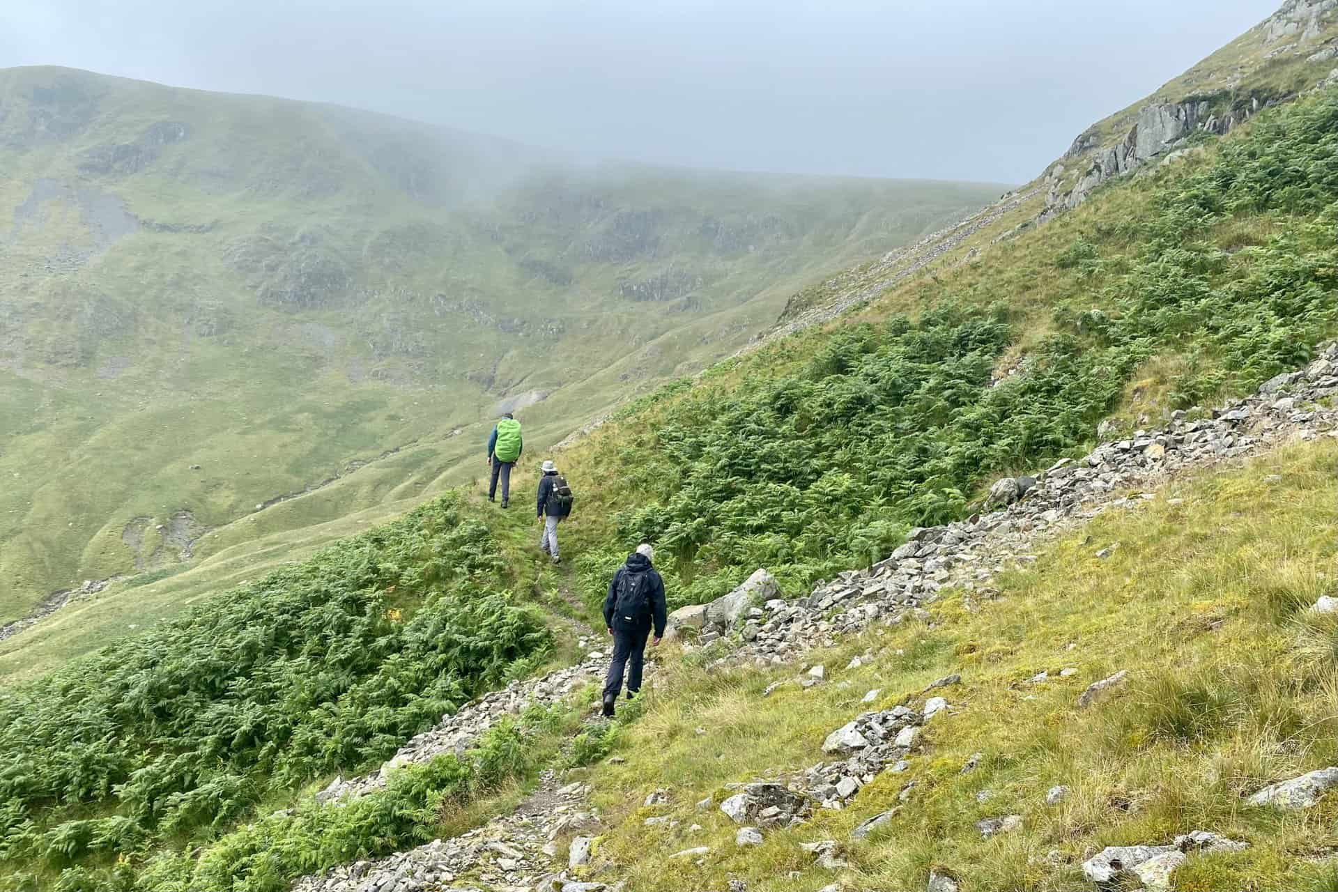
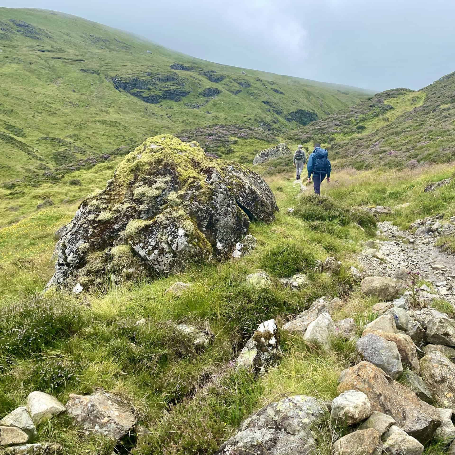
The footpath below Glencoyne Head is comfortable to walk along and easy to navigate.

Fifty Walks Across the Beautiful North York Moors National Park
AD Discover 50 routes across the North York Moors, from short easy strolls to challenging high-level hikes. With OS maps, route descriptions, and local highlights, it also includes the legendary 40-mile Lyke Wake Walk, described in four accessible stages.
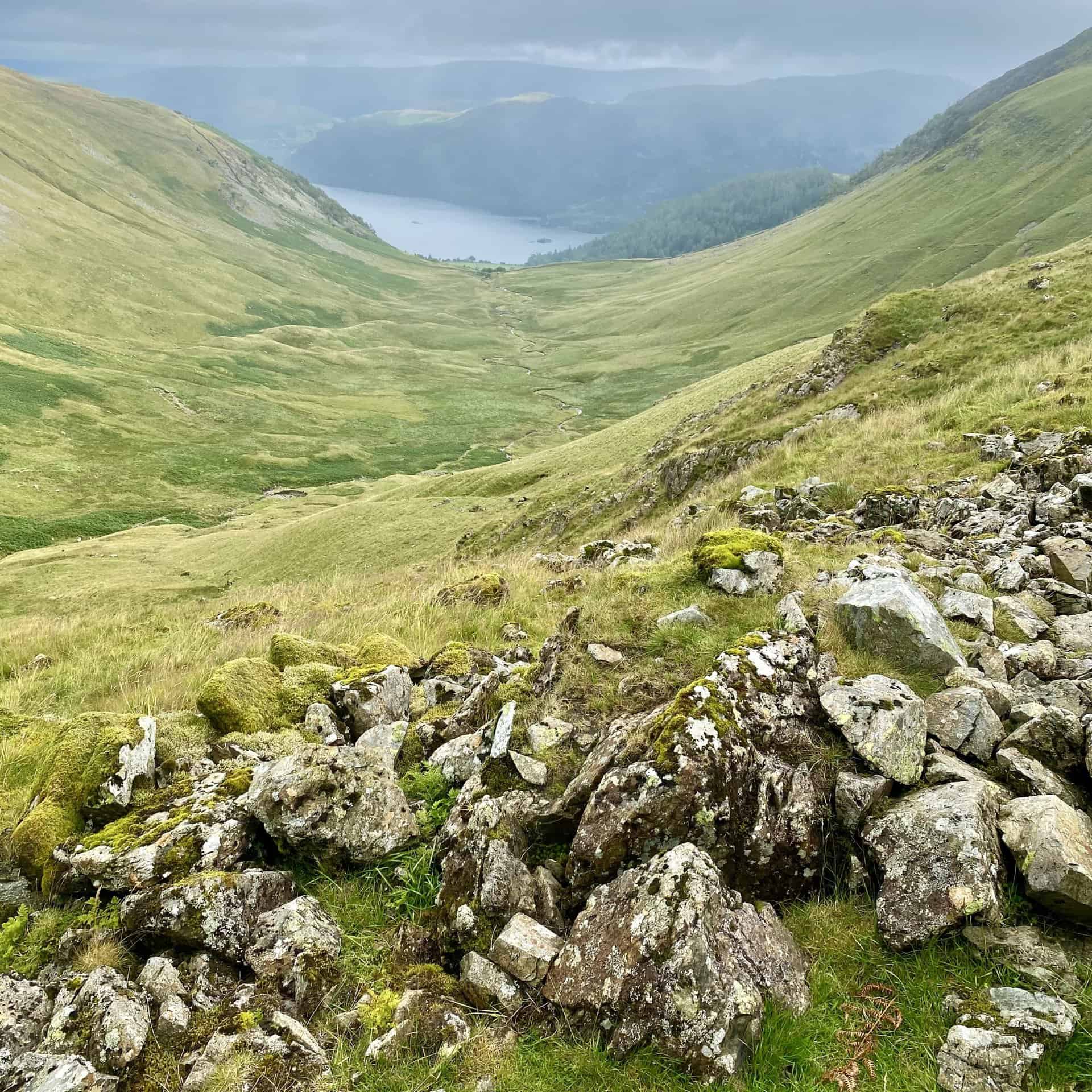
Glencoyne Beck can clearly be seen meandering its way through the valley on course for Ullswater.
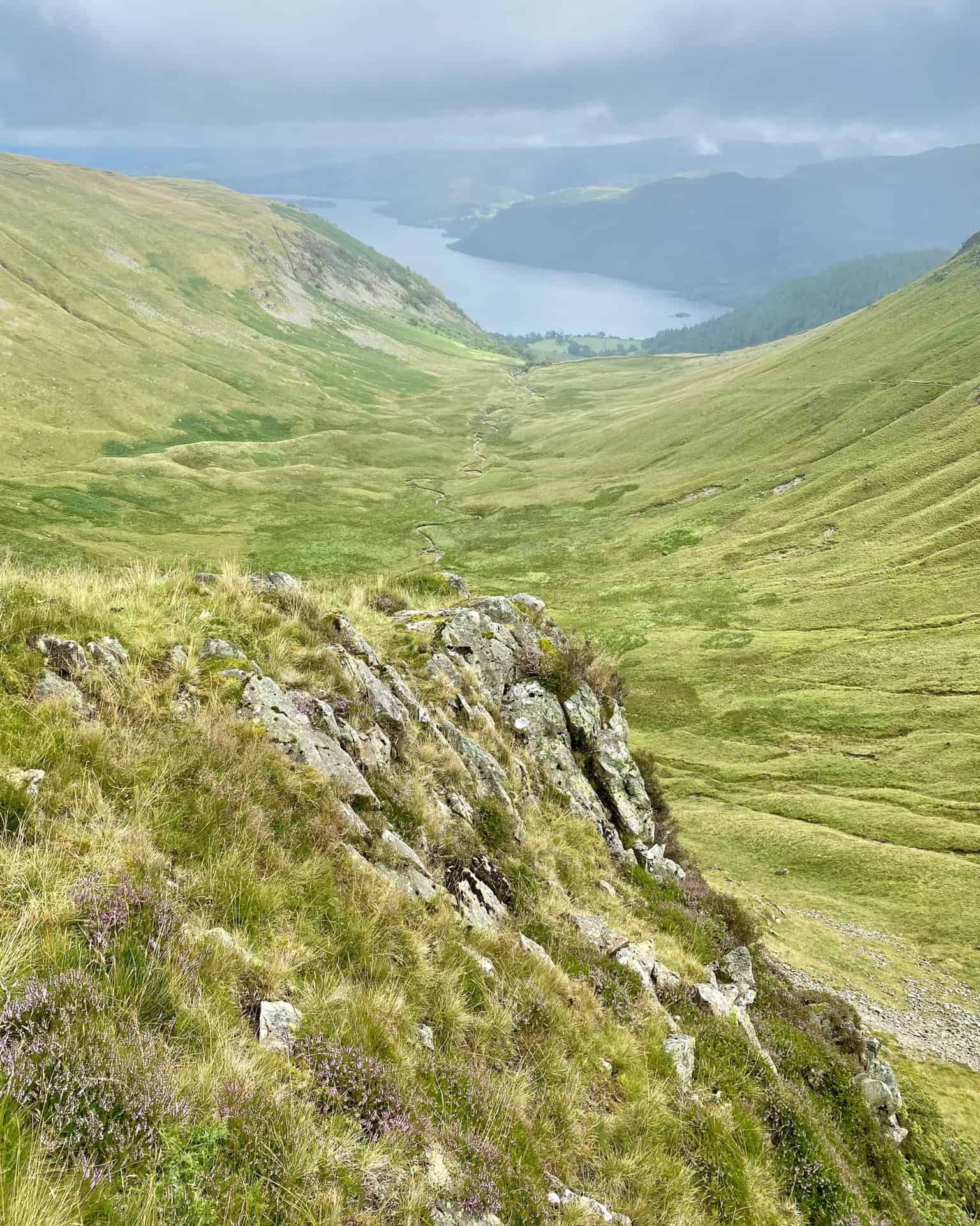
The view back to Scot Crag on the steep southern slopes of Hart Side. The path we had walked along can be seen about half way down the mountainside.
Fifty Walks Across the Beautiful North York Moors National Park
AD Discover 50 routes across the North York Moors, from short easy strolls to challenging high-level hikes. With OS maps, route descriptions, and local highlights, it also includes the legendary 40-mile Lyke Wake Walk, described in four accessible stages.
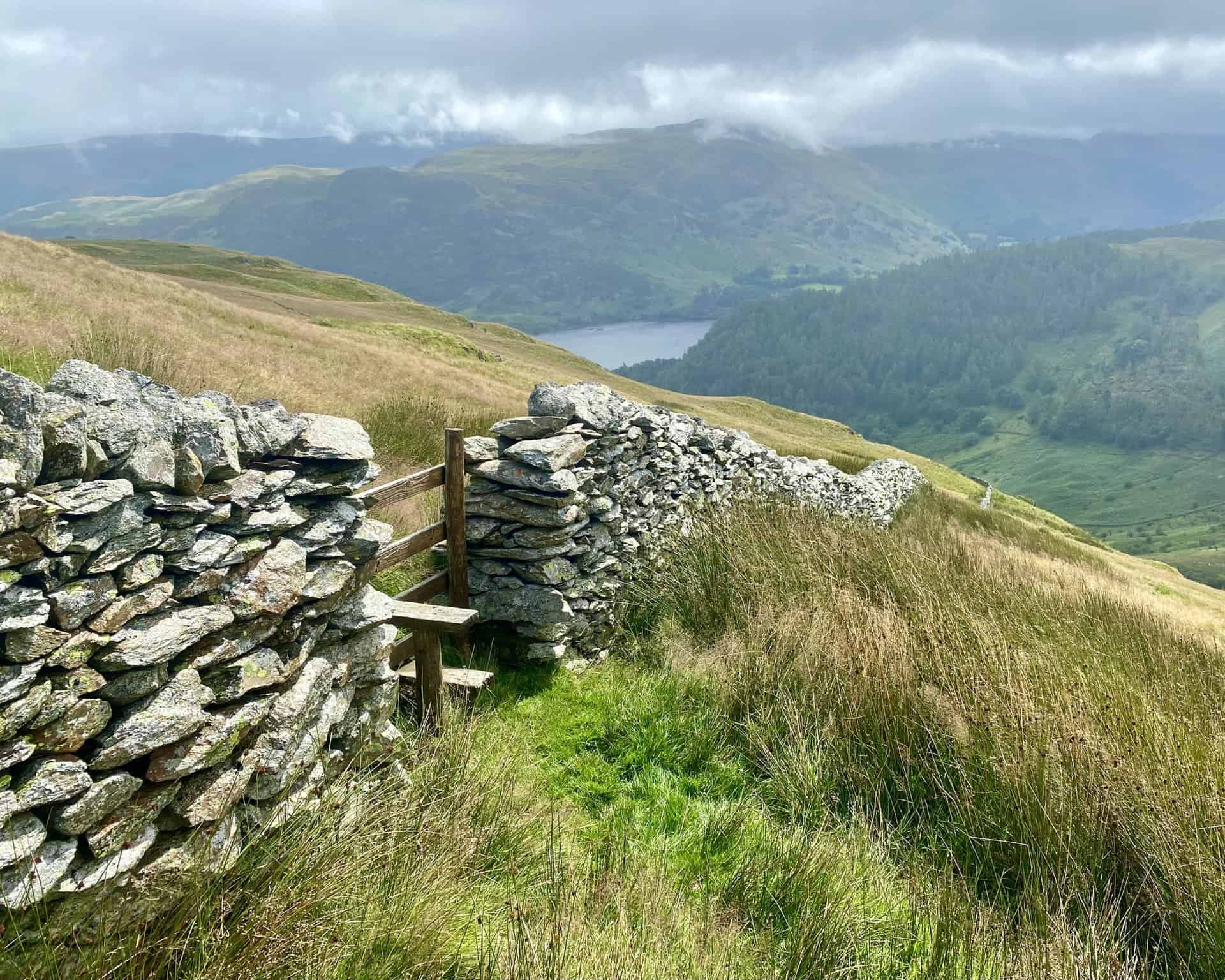
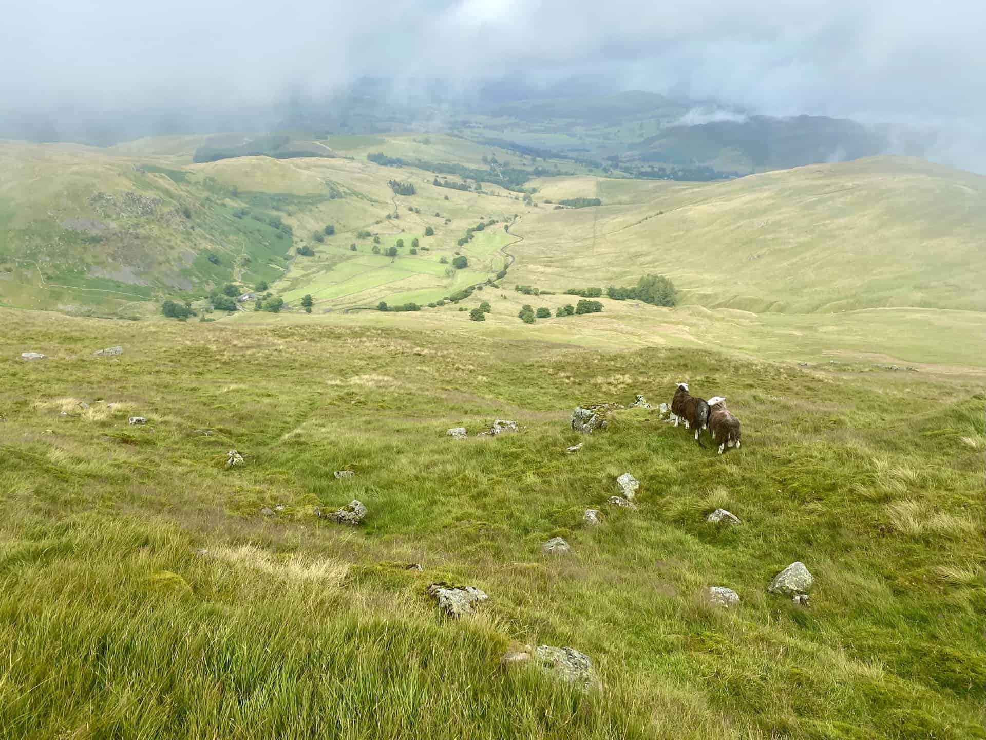
A larger portion of Ullswater becomes visible as we make our way around the Glencoyne valley.
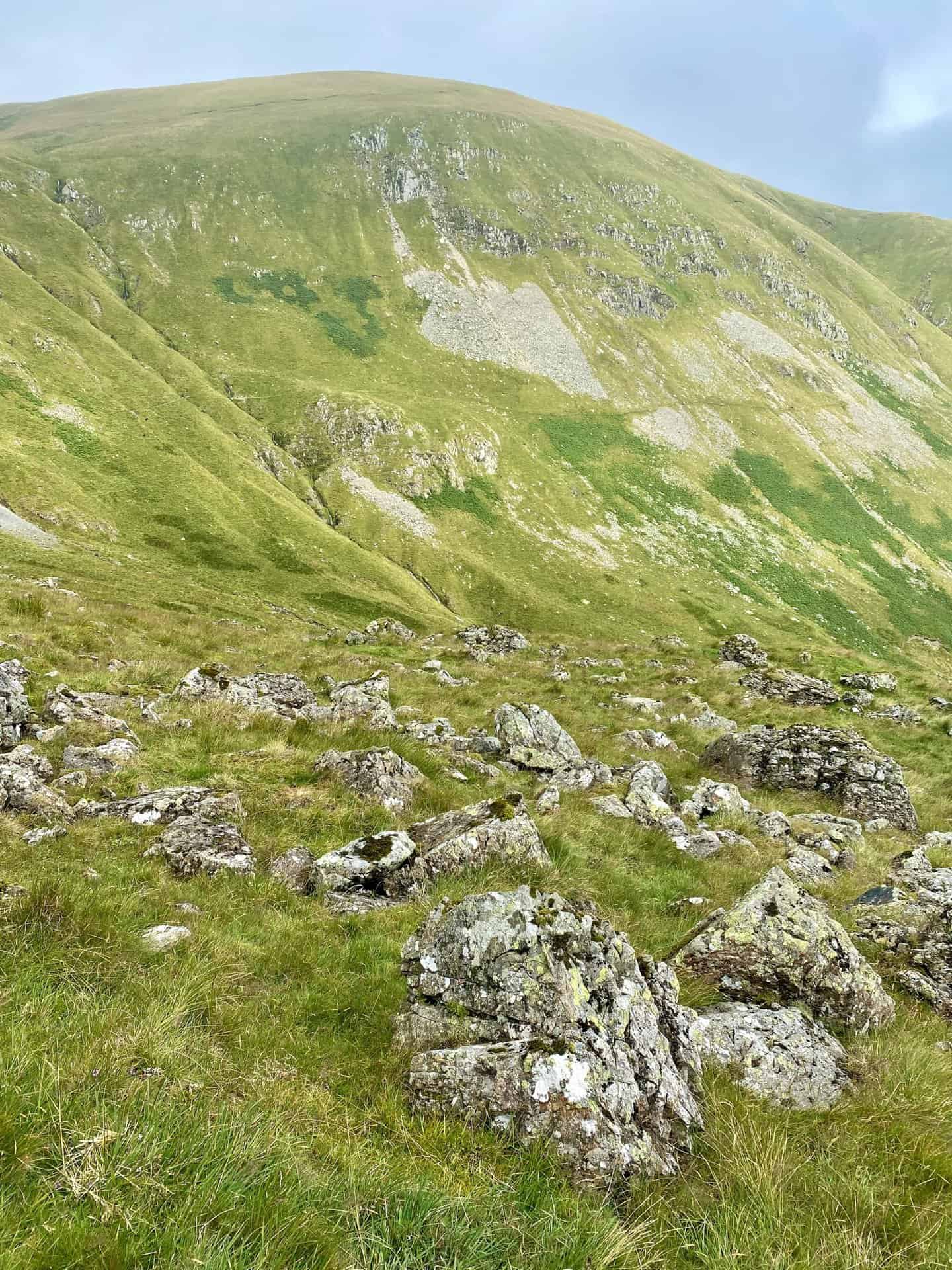
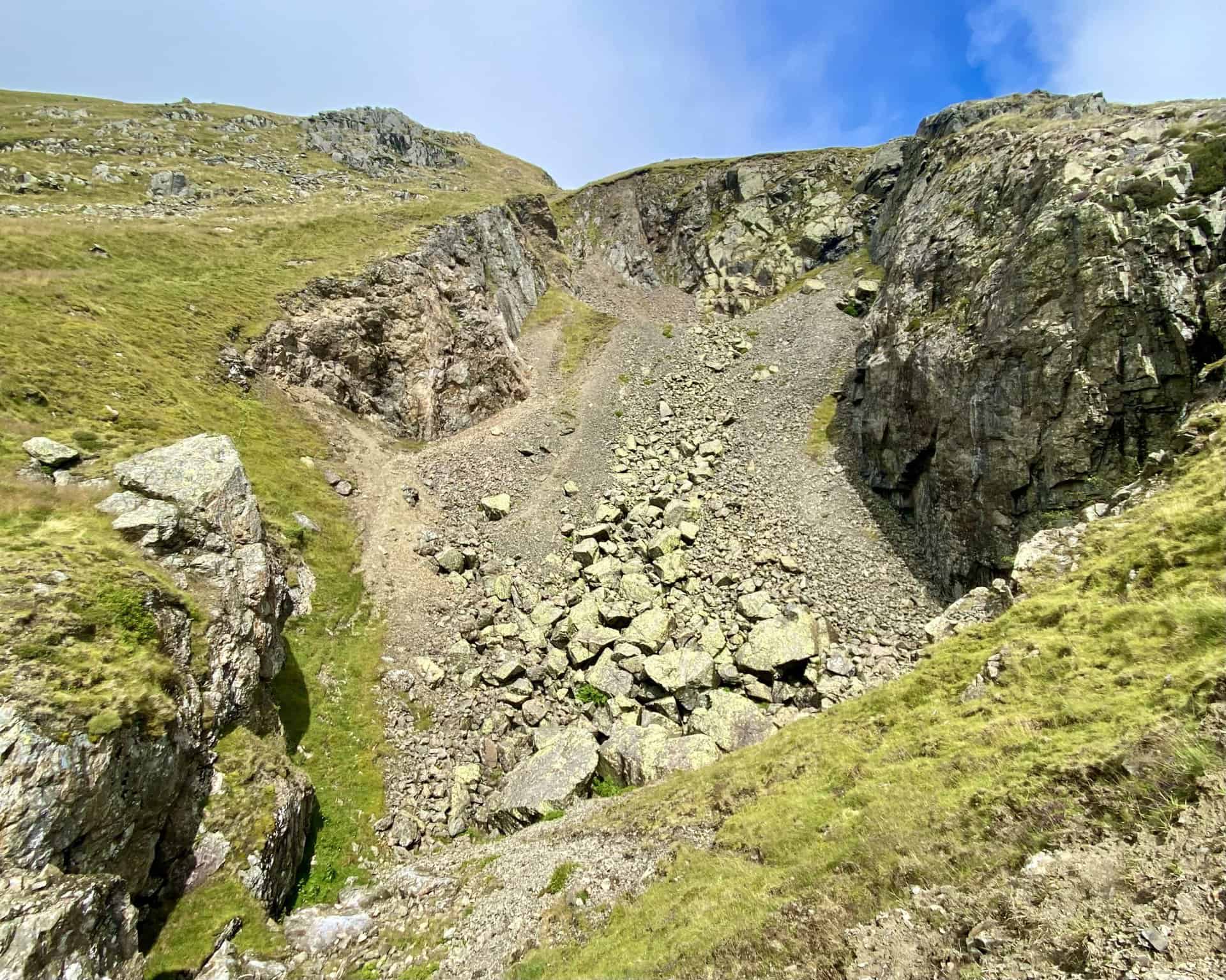
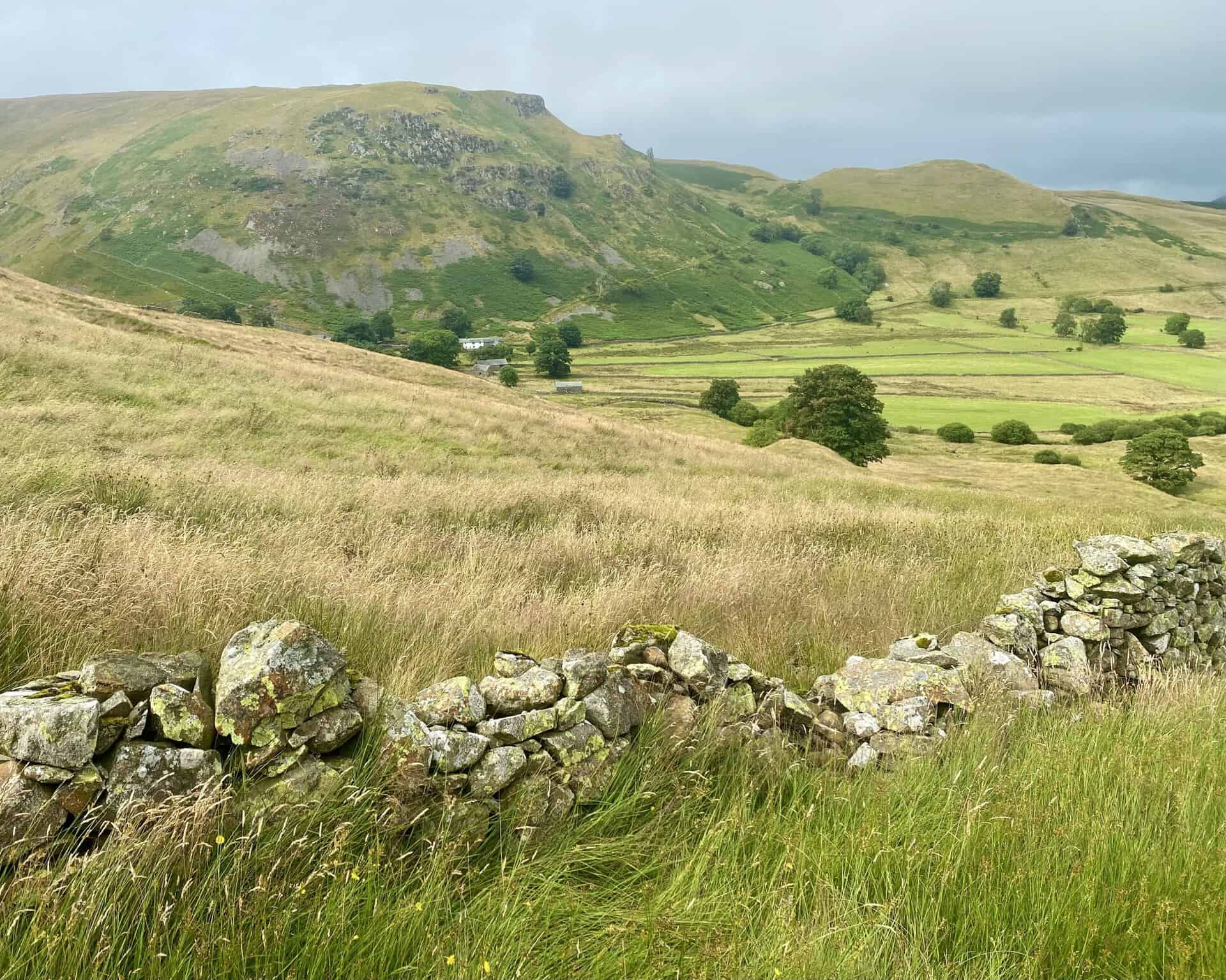
One of several disused quarries and tips south of Glencoyne Head.

Osprey Hikelite Unisex Backpack for Comfortable and Lightweight Hiking
AD The Osprey Hikelite backpack combines lightweight design with practical features, including a breathable mesh back panel, soft webbing straps, and stretch mesh water bottle pockets. With zipped storage and an organiser compartment, it is ideal for day hikes and outdoor use.
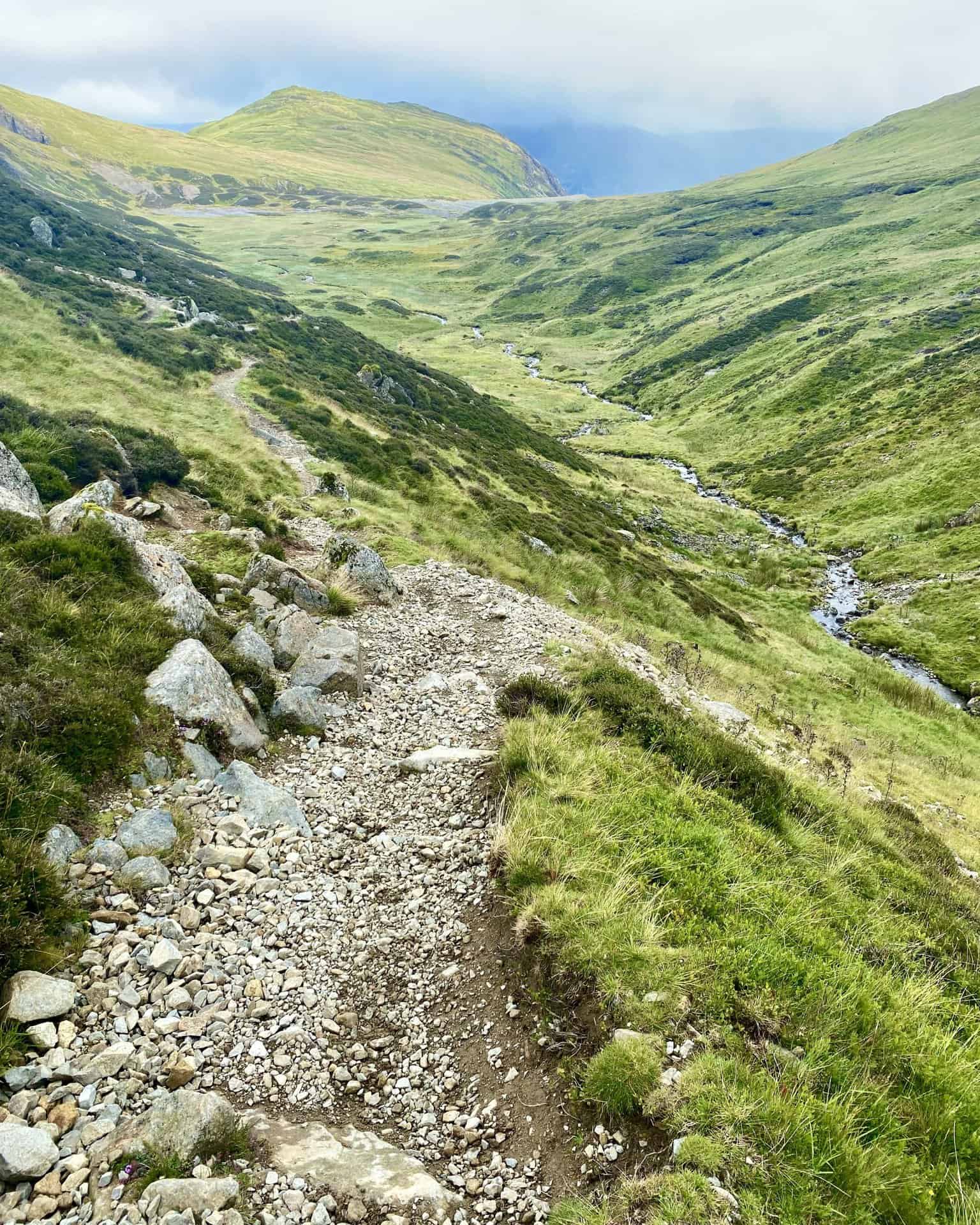
Walking through the Sticks Gill valley on the way up to Sticks Pass and Stybarrow Dodd.
Sticks Gill flowing through the valley, with Sheffield Pike in the background.
Osprey Hikelite Unisex Backpack for Comfortable and Lightweight Hiking
AD The Osprey Hikelite backpack combines lightweight design with practical features, including a breathable mesh back panel, soft webbing straps, and stretch mesh water bottle pockets. With zipped storage and an organiser compartment, it is ideal for day hikes and outdoor use.
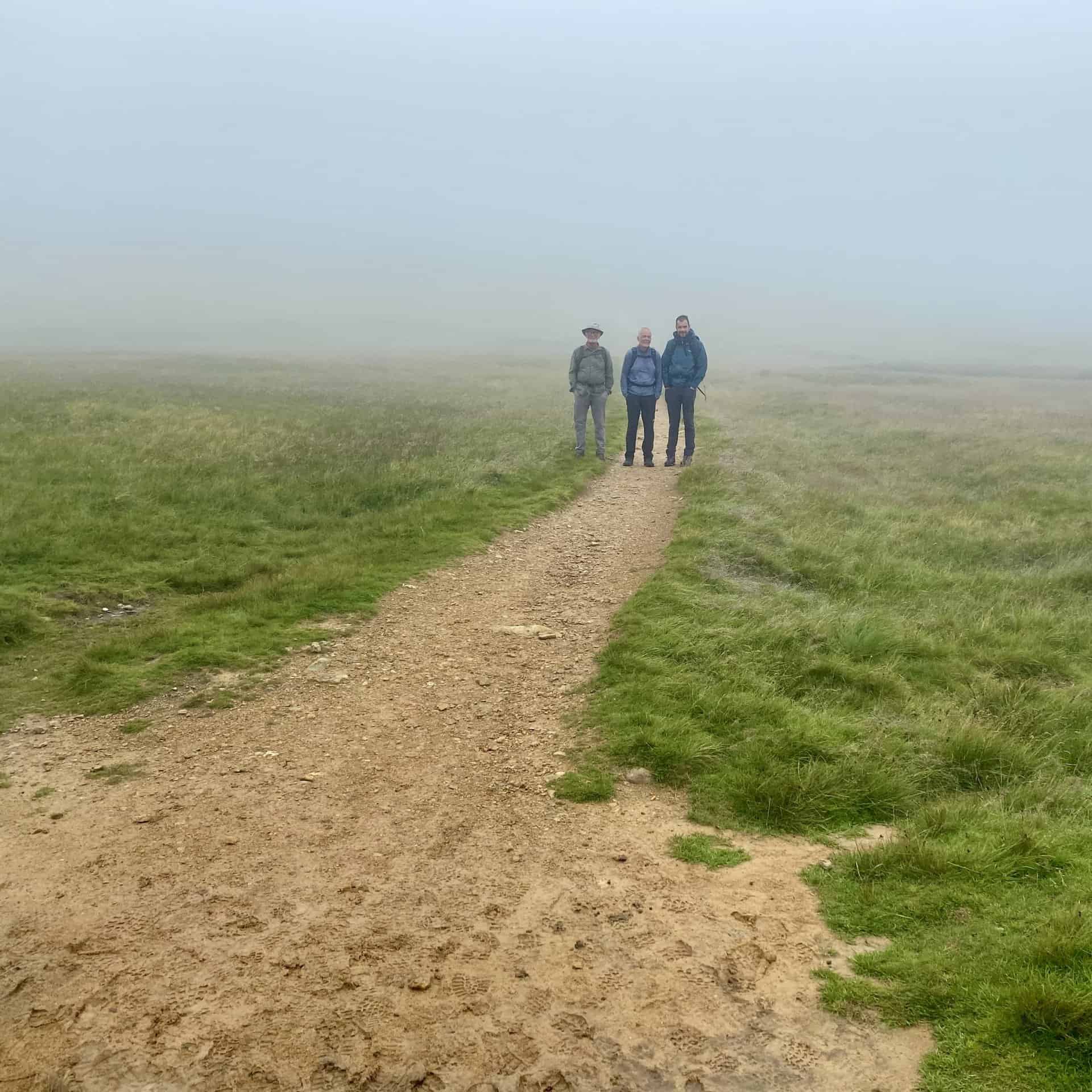
Sticks Pass and the path leading to Stybarrow Dodd.

Peak Bagging Wainwrights with Routes to Complete All Fells
AD This comprehensive guide offers 45 circular routes linking all 214 Wainwright fells. With maps, GPX downloads, elevation profiles, and practical advice, it provides efficient yet inspiring ways to complete this classic Lake District challenge at your own pace.
The summit of Hart Side, height 756 metres (2480 feet).
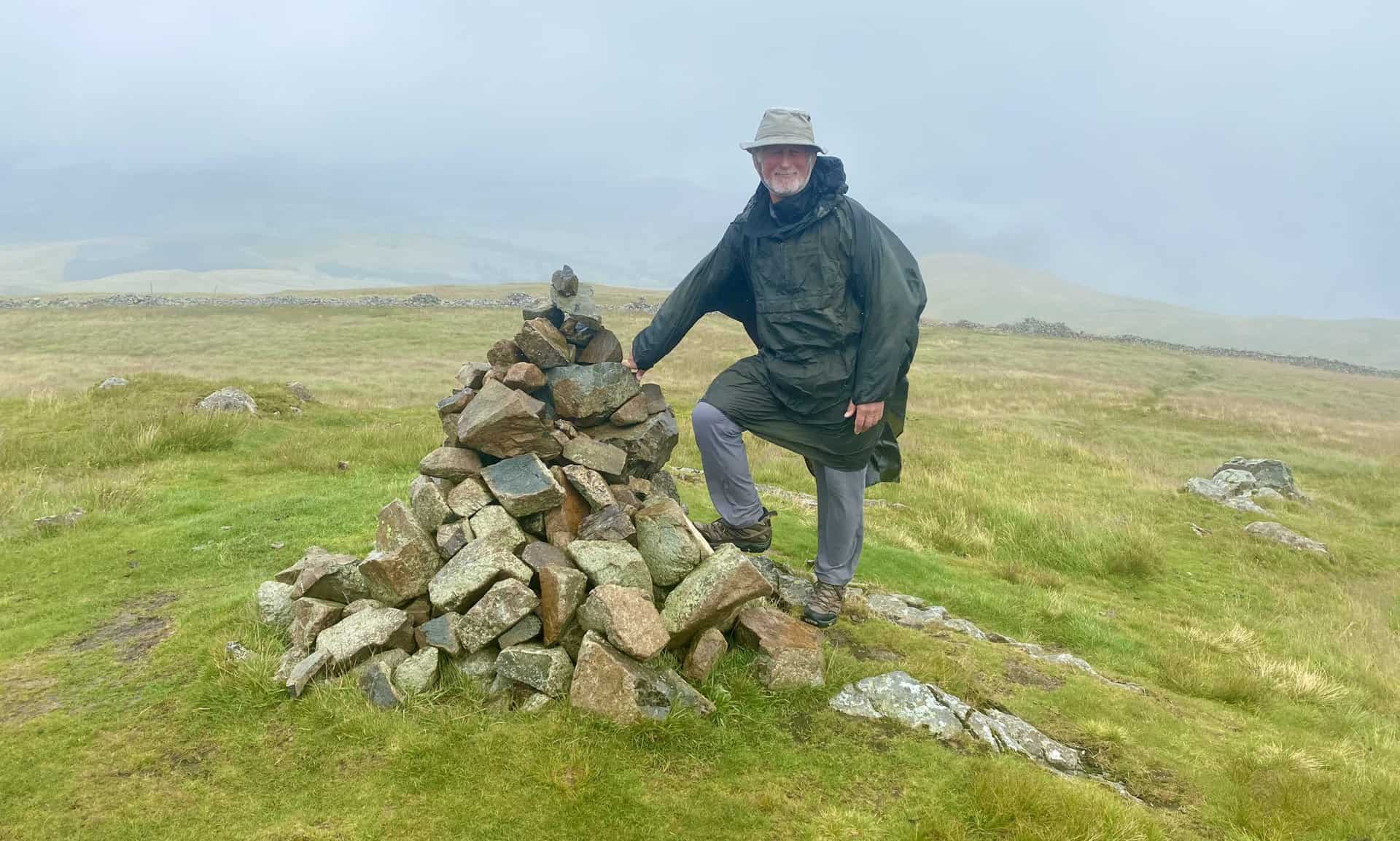
Keith at the top of Birkett Fell, height 725 metres (2379 feet). Birkett Fell lies approximately 1½ north-east of Stybarrow Dodd.
Peak Bagging Wainwrights with Routes to Complete All Fells
AD This comprehensive guide offers 45 circular routes linking all 214 Wainwright fells. With maps, GPX downloads, elevation profiles, and practical advice, it provides efficient yet inspiring ways to complete this classic Lake District challenge at your own pace.
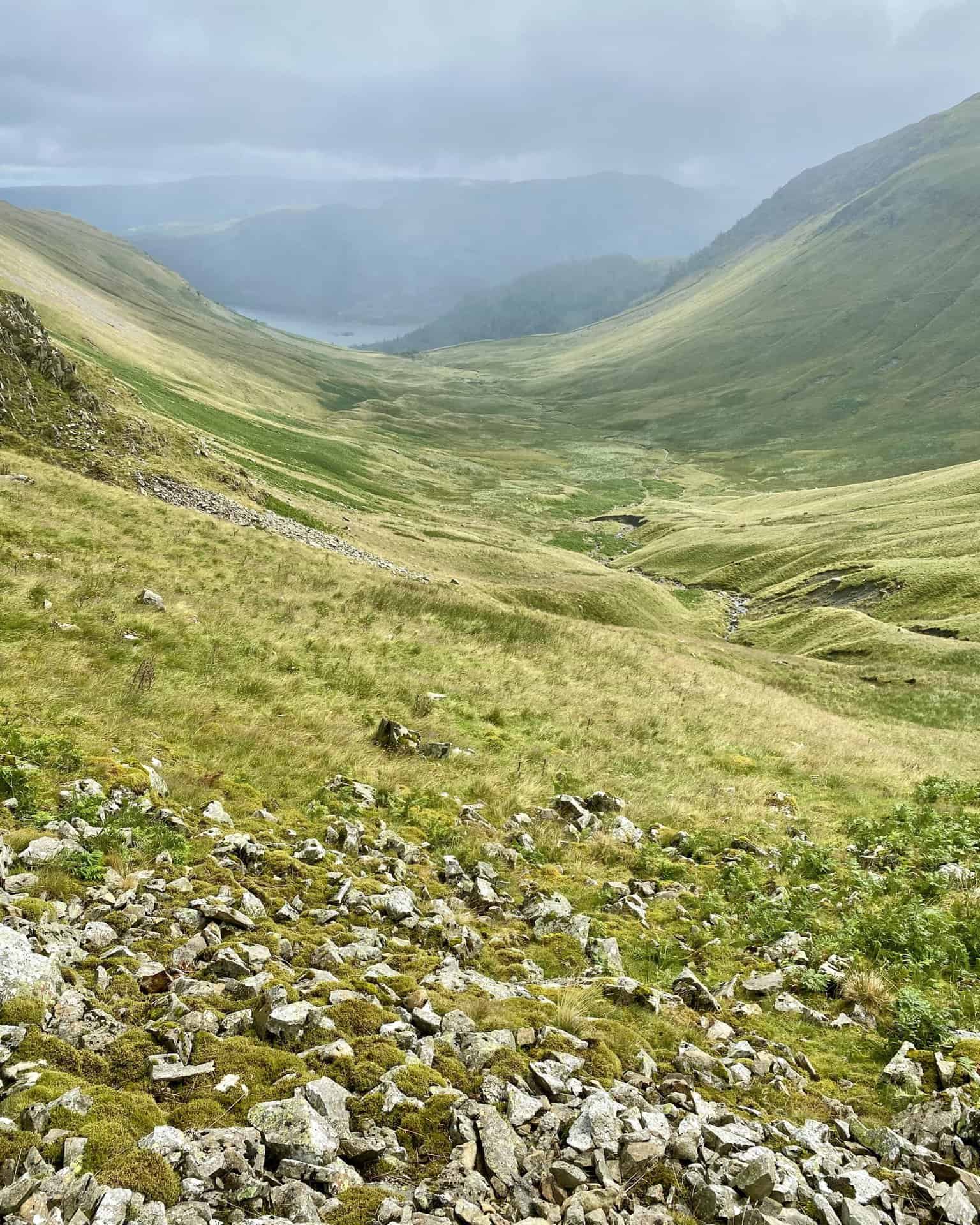
The view north-east down to the Dowthwaitehead / Aira Beck valley.
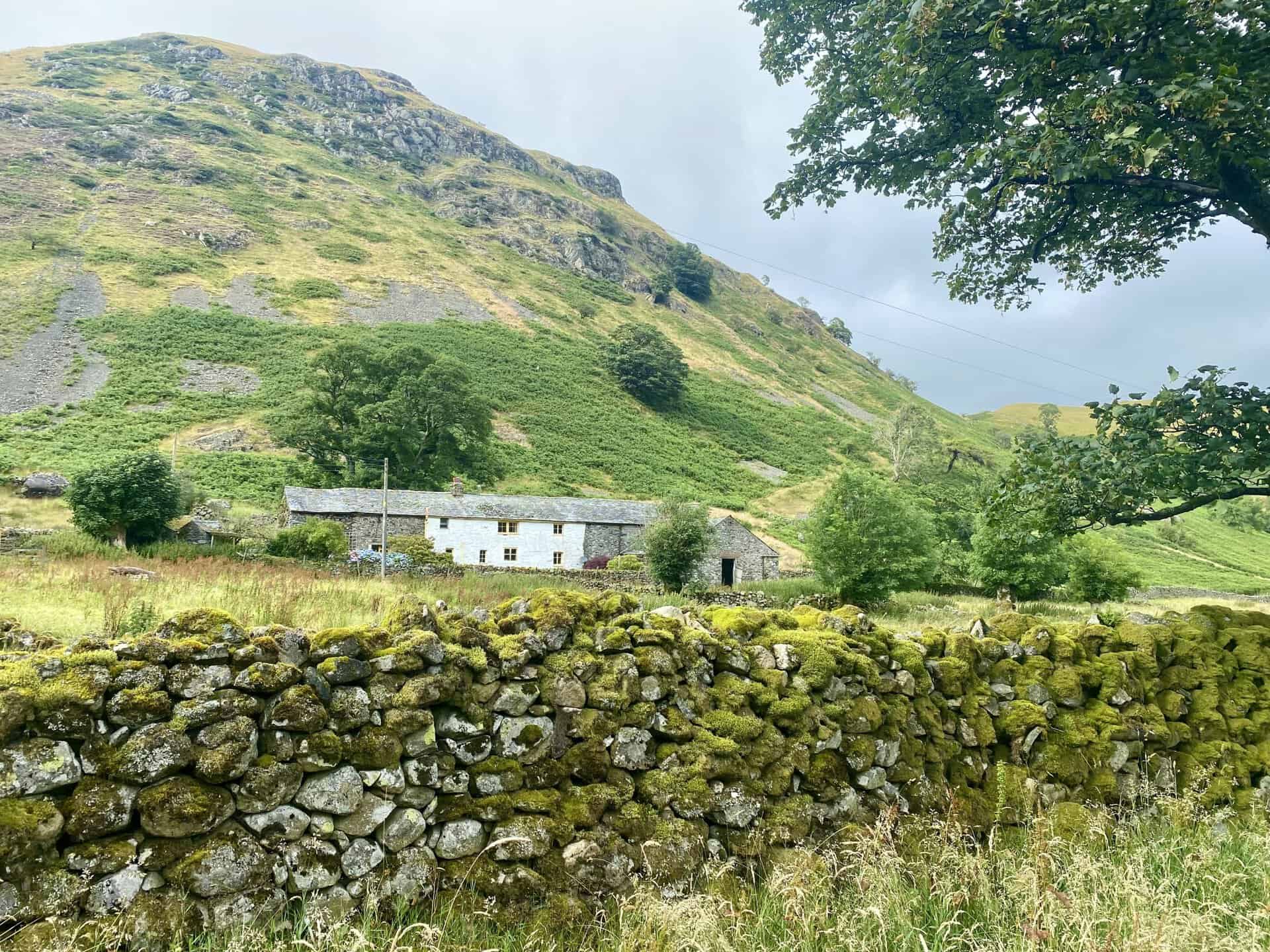
The hamlet of Dowthwaitehead can be seen nestled below Dowthwaite Crag on the south-eastern flanks of High Brow.

Berghaus Hillmaster II GTX Men's High Rise Hiking Boots
AD The Berghaus Hillmaster II GTX men’s hiking boots feature a waterproof, breathable GORE-TEX membrane, a memory foam tongue and collar for a personalised fit, and a Vibram sole delivering exceptional grip, stability, and shock protection for confident performance on any terrain.
Heading along the farmland track towards Dowthwaitehead.
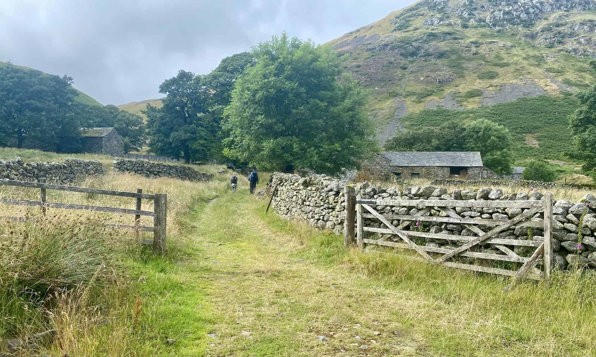
Dowthwaitehead beneath Dowthwaite Crag.
Berghaus Hillmaster II GTX Men's High Rise Hiking Boots
AD The Berghaus Hillmaster II GTX men’s hiking boots feature a waterproof, breathable GORE-TEX membrane, a memory foam tongue and collar for a personalised fit, and a Vibram sole delivering exceptional grip, stability, and shock protection for confident performance on any terrain.
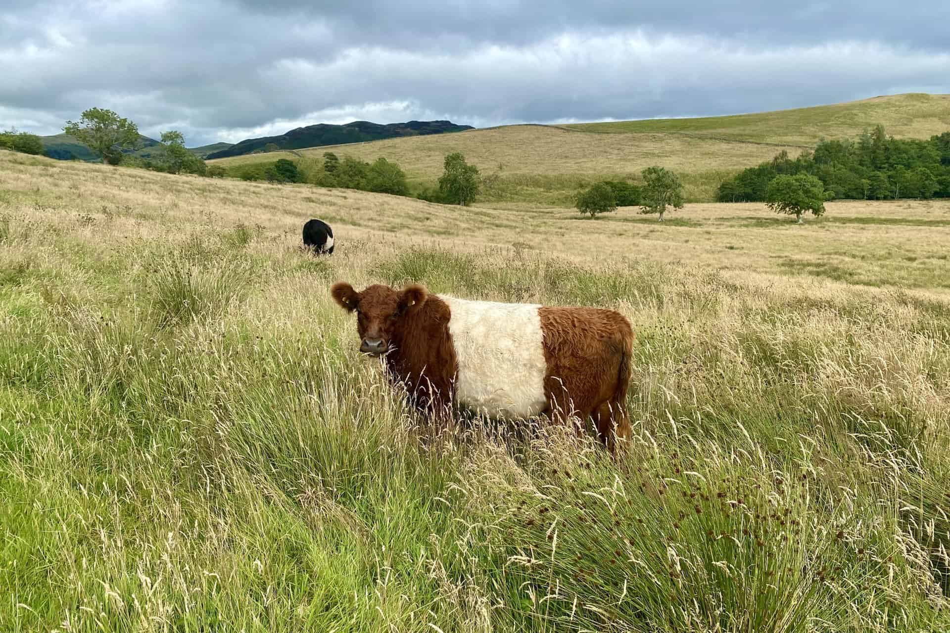
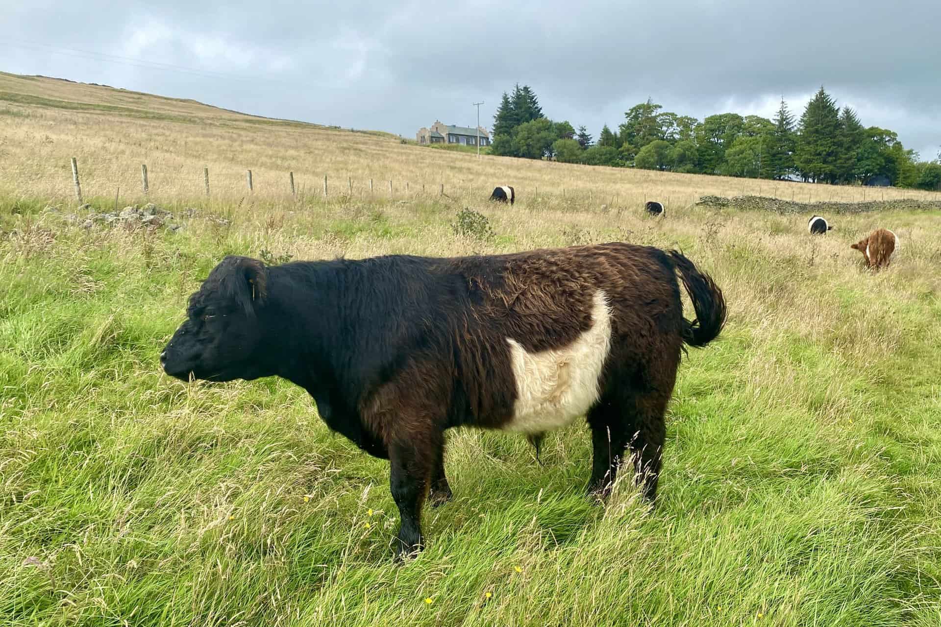
Belted Galloways, a traditional Scottish breed of beef cattle, on farmland near Crookwath.

Kendal Mint Co Energy Gel with Citrus and Mint Flavour
AD Kendal Mint Co energy gels deliver 27g of fast-absorbing carbohydrates plus electrolytes and B vitamins for improved performance. Vegan, gluten free, and Informed Sport certified, these caffeine-free gels are refreshing, easy to digest, and ideal for running, cycling, and endurance.
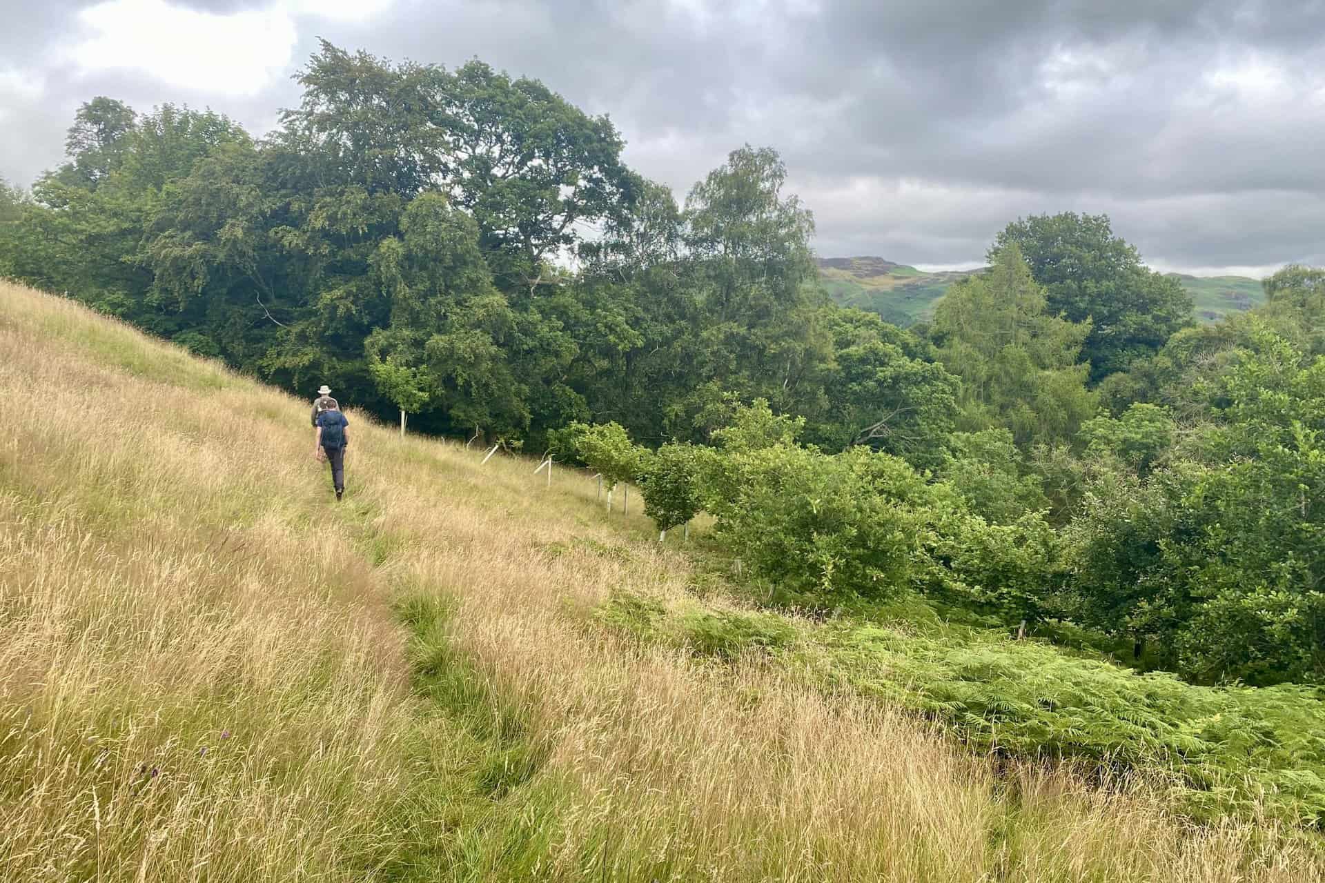
The path near Lucy’s Wood west of Dockray.
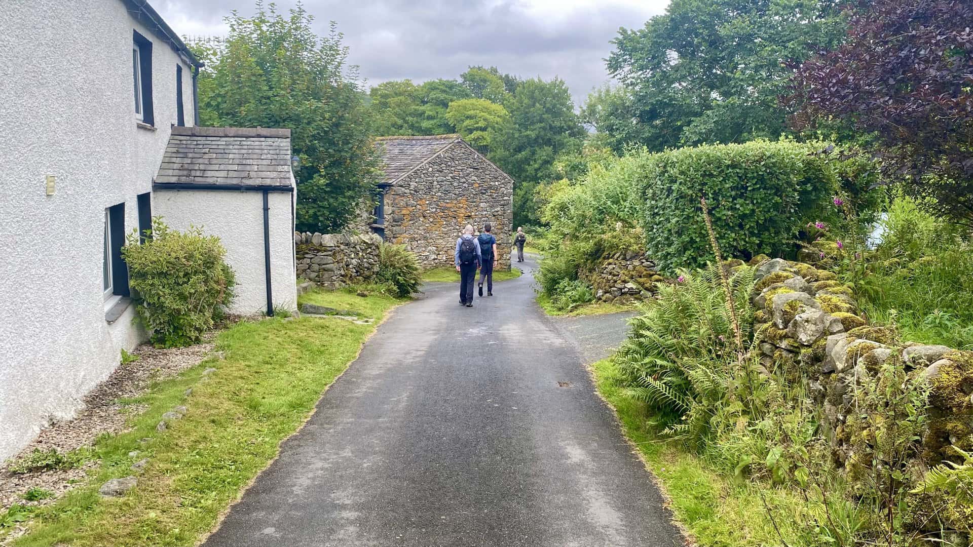
Entering the village of Dockray at the end of our superb walk to Stybarrow Dodd.
Kendal Mint Co Energy Gel with Citrus and Mint Flavour
AD Kendal Mint Co energy gels deliver 27g of fast-absorbing carbohydrates plus electrolytes and B vitamins for improved performance. Vegan, gluten free, and Informed Sport certified, these caffeine-free gels are refreshing, easy to digest, and ideal for running, cycling, and endurance.
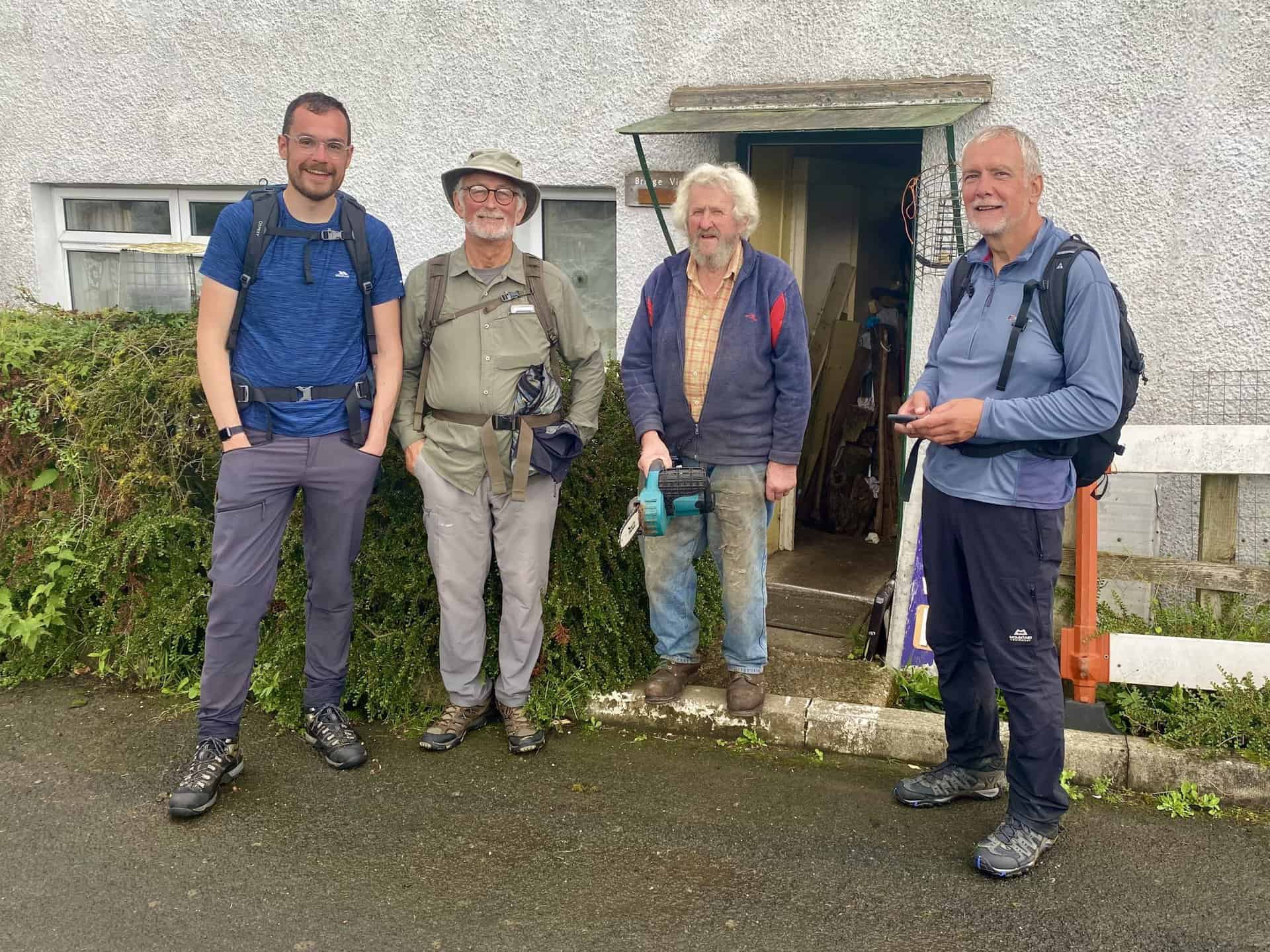
We meet Dockray resident Barrie Quinney, stood outside the house where he was born and has lived in for his entire life of over 80 years.