ADVERTISEMENT
The Wharfedale 3 Peaks Challenge Links Three Fells on Both Sides of Upper Wharfedale
The Wharfedale 3 Peaks is a tough and rewarding circular walk over the high ground around Upper Wharfedale in the Yorkshire Dales. The challenge is to reach the tops of three fells: Great Whernside, Buckden Pike and Birks Fell. How you link them together is up to you, and there are several versions of the route.
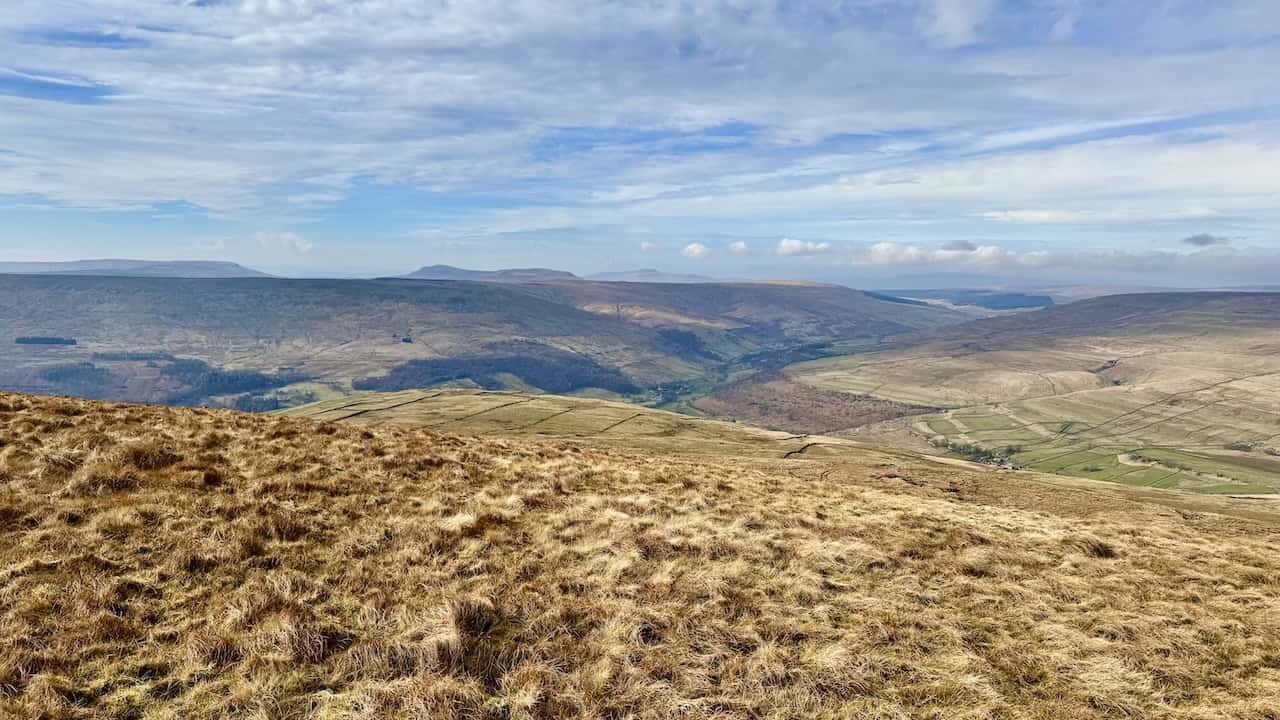
Upper Wharfedale runs roughly north to south through the middle of the walk, from Buckden down to Kettlewell. Great Whernside and Buckden Pike rise on the eastern side of the valley, and Birks Fell sits on the western side, so the walk makes a complete circuit of the dale’s high ground.
The route traditionally starts and finishes in Kettlewell, but because it’s circular you can join it anywhere, just like the better-known Yorkshire 3 Peaks. Here I describe my own 17.6-mile route from Kettlewell, walked anticlockwise. It climbs Great Whernside first, crosses rough moorland to Buckden Pike and drops to the valley floor at Buckden. It then tackles Birks Fell before returning to Kettlewell over Firth Fell and Old Cote Moor.
Whichever version you choose, expect a long, strenuous day over high fells, rough moorland, grassy tracks and boggy ground, with far more navigation than on most popular challenge walks. Rather than step-by-step directions, this article gives you a feel for each section, the history you’ll pass along the way and the practical information you’ll need to plan your own attempt.
ADVERTISEMENT
Wharfedale 3 Peaks Walk Information
| Walk Detail | Information |
|---|---|
| Start and Finish | Yorkshire Dales National Park car park, Kettlewell |
| Distance | 17.6 miles (28.4 kilometres) |
| Total Ascent | 3,657 feet (1,115 metres) |
| Estimated Walking Time | About 9¼ hours (the OS Maps estimate is 9 hours 16 minutes), excluding stops and breaks |
| Route Type | Circular, walked anticlockwise |
| Highest Point | Great Whernside, 704 metres (2,310 feet) |
| Difficulty | Strenuous |
| Terrain | Field paths, grassy paths, stone tracks, slabbed conservation paths, rough moorland, peat and bog |
| Scrambling and Exposure | No scrambling and no significant exposure |
| Navigation | Good hill-navigation skills needed, especially in poor visibility |
| Map | OS Explorer OL30 Yorkshire Dales Northern & Central Area |
| Facilities | Toilets in the Yorkshire Dales National Park car parks at Kettlewell and Buckden, and pubs in both villages |
ADVERTISEMENT
The distance, ascent and walking time come from my route plotted on OS Maps, where you can see the full Wharfedale 3 Peaks route. Your own figures may differ a little, depending on the app or GPS device you use.
The walking time is the OS Maps estimate and doesn’t include any stops or breaks. How long you actually take will depend on your walking speed, your fitness and the conditions underfoot, so allow plenty of extra time for rests, lunch and enjoying the views.
The hill heights, drops, grid references and classifications in this article come from the Database of British and Irish Hills (DoBIH), published on the Hill Bagging website.
ADVERTISEMENT
Route at a Glance
Kettlewell → Hag Dyke → Great Whernside → Black Dike Hole → Park Rash Road at Tor Dike → Tor Mere Top → Polish Airmen’s Memorial → Buckden Pike → Buckden Rake → Buckden → Redmire → Birks Fell → Firth Fell → Old Cote Moor Top → Kettlewell
Why I Recommend Walking It Anticlockwise
I think the route works best anticlockwise, and other walkers who know it often suggest the same. It puts the biggest climb, up Great Whernside, at the start of the day, and it gets the roughest, boggiest moorland between the first two peaks out of the way while you’re still fresh. Buckden then gives you a natural break a little over halfway round, with an easy escape route if you need it, before the climb onto the western side of the dale.
The final stretch from Birks Fell across Old Cote Moor is fairly level before the descent to Kettlewell. It can feel a little long, and it can be boggy, but at least the big climbs are behind you by then.
Wharfedale 3 Peaks: Maps and Tools
Visit either the OS Maps website or the Outdooractive website to view this walking route in greater detail. Both platforms offer a range of features, including the ability to print the route, download it to your device, and export the route as a GPX file. You can also watch a 3D fly-over and share the route on social media.
What Are the Wharfedale 3 Peaks?
The three fells sit on opposite sides of Upper Wharfedale. Great Whernside and Buckden Pike rise to the east of the valley. Both are over 700 metres high, with less than two and a half metres between them. Birks Fell lies across the River Wharfe to the west, on the long ridge between Wharfedale and Littondale. It’s noticeably lower, but it’s still a distinct and substantial hill in its own right.
According to the Database of British and Irish Hills, all three are Marilyns, Simms, Hewitts and Nuttalls.
| Hill | Height | Drop | Grid Reference | Classifications |
|---|---|---|---|---|
| Great Whernside | 704 metres (2,310 feet) | 288 metres | SE 00205 73912 | Marilyn, Simm, Hewitt, Nuttall |
| Buckden Pike | 701.6 metres (2,302 feet) | 208.6 metres | SD 96061 78787 | Marilyn, Simm, Hewitt, Nuttall |
| Birks Fell | 610.4 metres (2,003 feet) | 158.2 metres | SD 91879 76368 | Marilyn, Simm, Hewitt, Nuttall |
What the Hill Classifications Mean
Drop, often called prominence, is how far you’d need to descend from a summit before you could climb onto any higher ground. It’s a good measure of how much a hill stands on its own.
- Marilyn: a hill of any height with at least 150 metres of drop.
- Simm: a hill at least 600 metres high with at least 30 metres of drop.
- Hewitt: a hill in England, Wales or Ireland at least 2,000 feet high with at least 30 metres of drop.
- Nuttall: a hill in England or Wales at least 2,000 feet high with at least 15 metres of drop.
Not Simply the Three Highest Hills
The Wharfedale 3 Peaks aren’t just the three highest points around Upper Wharfedale. Yockenthwaite Moor, on the northern side of Langstrothdale, reaches 643 metres, so it’s higher than Birks Fell. With only 89 metres of drop, though, it counts as a Simm, Hewitt and Nuttall but not a Marilyn. Great Whernside, Buckden Pike and Birks Fell are all Marilyns, which means each one is a genuinely separate hill rather than a high point on the shoulder of something bigger.
Birks Fell Only Just Makes the Grade
Birks Fell earns its place on these lists by the narrowest of margins. At 2,003 feet, it clears the 2,000-foot mark by just three feet, and its drop of 158.2 metres beats the 150-metre Marilyn threshold by about eight metres. Until a resurvey in 2006, it was thought to be 608 metres high, just short of 2,000 feet. The new measurement lifted it above neighbouring Horse Head Moor, and Birks Fell took over as the Marilyn on this part of the ridge.
The Origins of the Wharfedale 3 Peaks Challenge
The organised Wharfedale 3 Peaks Challenge is the annual fundraising event of the Upper Wharfedale Fell Rescue Association (UWFRA). This Grassington-based volunteer team has been rescuing people and animals from the fells, caves and mineshafts of Wharfedale, Nidderdale, Littondale and Mid-Airedale for more than 70 years, and it’s funded entirely by fundraising and donations.
The first challenge took place on Saturday 28 June 2014, starting and finishing at Kettlewell Village Hall. Its Three Peaks route was 22 miles (35 kilometres) long, with 1,446 metres (4,744 feet) of ascent. There was also a 13½-mile Two Peaks route over Buckden Pike and Great Whernside, and a 4½-mile valley walk for families.
Interestingly, that first route went the opposite way round to mine. It climbed over Old Cote Moor to Birks Fell first, then dropped past Horse Head to Yockenthwaite, crossed to Cray and climbed Buckden Pike from Buckden Rake. From there it headed south past Tor Mere Top and Tor Dike to Great Whernside, before finishing down past Hag Dyke.
The 22-mile route was still in use in 2017 and 2018. By 2023, the Three Peaks course was listed at 18 miles, and since 2024 it has been 17 miles. The 2026 course had around 3,800 feet of ascent. The event’s water stations at Buckden and at the Park Rash road crossing near Tor Dike show that it now takes a broadly similar line to the route on this page. It’s open to walkers and runners, and the fastest times are astonishing. The course record of 2 hours 9 minutes was set by Oli Murphy in 2024, and the women’s record of 2 hours 52 minutes was set by Kate Archer in 2025.
The name of the third peak hasn’t always been consistent either. Entry details for the 2026 event listed Firth Fell, Buckden Pike and Great Whernside, while the Yorkshire Dales National Park’s listing for the same event described an 18-mile route over Birks Fell, Buckden Pike and Great Whernside. Firth Fell and Birks Fell are two tops on the same ridge, and I explain the difference between them in the route description below. For the latest dates, entry details and results, visit the UWFRA Wharfedale Three Peaks page.
Why Are There Different Wharfedale 3 Peaks Routes?
One of the most confusing things about researching the Wharfedale 3 Peaks is the range of distances quoted, from about 17 miles to 22 miles or more. That’s because there’s no single fixed line between the three hills. It’s best to think of it as a challenge with a history of evolving routes, rather than one set trail.
The route on this page takes the most direct line, dropping into Buckden between Buckden Pike and Birks Fell. Longer versions take a much wider sweep around the northern end of Upper Wharfedale. They usually head north along Buckden Rake to Cray, then west through or above Langstrothdale to Yockenthwaite. Some stay high on the northern side of the valley, while others follow the river through Hubberholme. From Yockenthwaite, they climb onto the western fells past Horse Head, using part of A Pennine Journey, before a long walk south-east along the ridge to Birks Fell. When the North Yorkshire group of the Long Distance Walkers Association walked the Wharfedale 3 Peaks in July 2022, its version was 21 miles long.
If you’d like to explore those sections first, my Yockenthwaite walk follows Buckden Rake to Cray and on to Yockenthwaite, and my Buckden walk takes in Birks Fell and the descent past Horse Head.
There are smaller variations too. For example, you can climb Great Whernside from Kettlewell by following Dowber Gill Beck past Providence Pot, instead of taking the direct path to Hag Dyke. My Great Whernside walks cover both ways up.
| Version | Approximate Distance | General Line |
|---|---|---|
| Direct Route (This Page) | 17.6 miles | Great Whernside, Buckden Pike, Buckden, Birks Fell, Firth Fell, Old Cote Moor |
| Shorter Option | About 15½ miles | As above, but using the Firth Fell trig pillar as the third top instead of Birks Fell’s true summit |
| Longer Versions | Around 21 to 22 miles | Great Whernside, Buckden Pike, Cray, Yockenthwaite, Horse Head, Birks Fell, Old Cote Moor |
My Wharfedale 3 Peaks Route
Here’s what to expect on each part of my anticlockwise route from Kettlewell.
Starting in Kettlewell
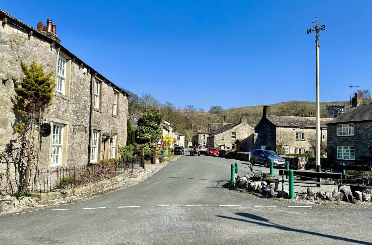
The walk starts at the Yorkshire Dales National Park car park in the centre of Kettlewell. It’s a pay and display car park, open 24 hours, with toilets that are also open around the clock. Kettlewell makes an ideal base because it sits right between the eastern and western fells on the route. Great Whernside rises straight above the village to the east, and the Old Cote Moor ridge, your way home, lines the valley to the west. There’s very little gentle warm-up, as the first climb begins almost as soon as you leave the village.
Kettlewell to Hag Dyke
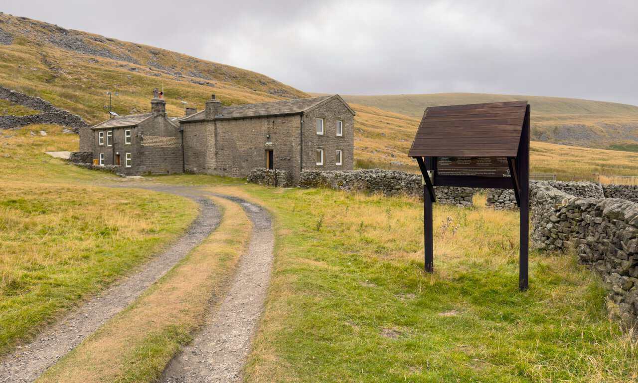
From the village, head north-east towards Hag Dyke. The path is clear and mostly grassy, although it gets quite steep in places as you gain height. It doesn’t take long for the views to open up behind you, back over Kettlewell and across Upper Wharfedale to Old Cote Moor, where you’ll finish the day. The path passes beside the Hag Dyke buildings and continues round the back.
Hag Dyke began life as a remote hill farm. Its occupants have been traced back to 1730, and the building is probably older still. At about 1,525 feet, it’s thought to have been the highest house in the old West Riding of Yorkshire. In 1947, local landowner Becket Henderson gave the 1st Ben Rhydding Scout Group the use of the empty farmhouse, and it has been a Scout hostel ever since, looked after by volunteer wardens. A plaque above the door still thanks him, and the small chapel, converted from a hay store in the 1950s, is said to be the highest in England. According to the Scout group’s history, the name means “the boundary of the enclosed land”, as a hag is land taken in from the moor and a dyke is the ditch, bank or wall around it.
For walkers, Hag Dyke also marks the point where the climb starts to feel properly mountainous.
Hag Dyke to Great Whernside
Beyond Hag Dyke, the path climbs steeply towards a line of cairns. Above them the gradient eases, but the ground turns wet. This flatter stretch is boggy for most of the year, not just after heavy rain, so expect wet feet unless there’s been a long dry spell. The final pull steepens again, and exposed rock and big gritstone boulders take over before you step onto the broad summit plateau.
Great Whernside Summit
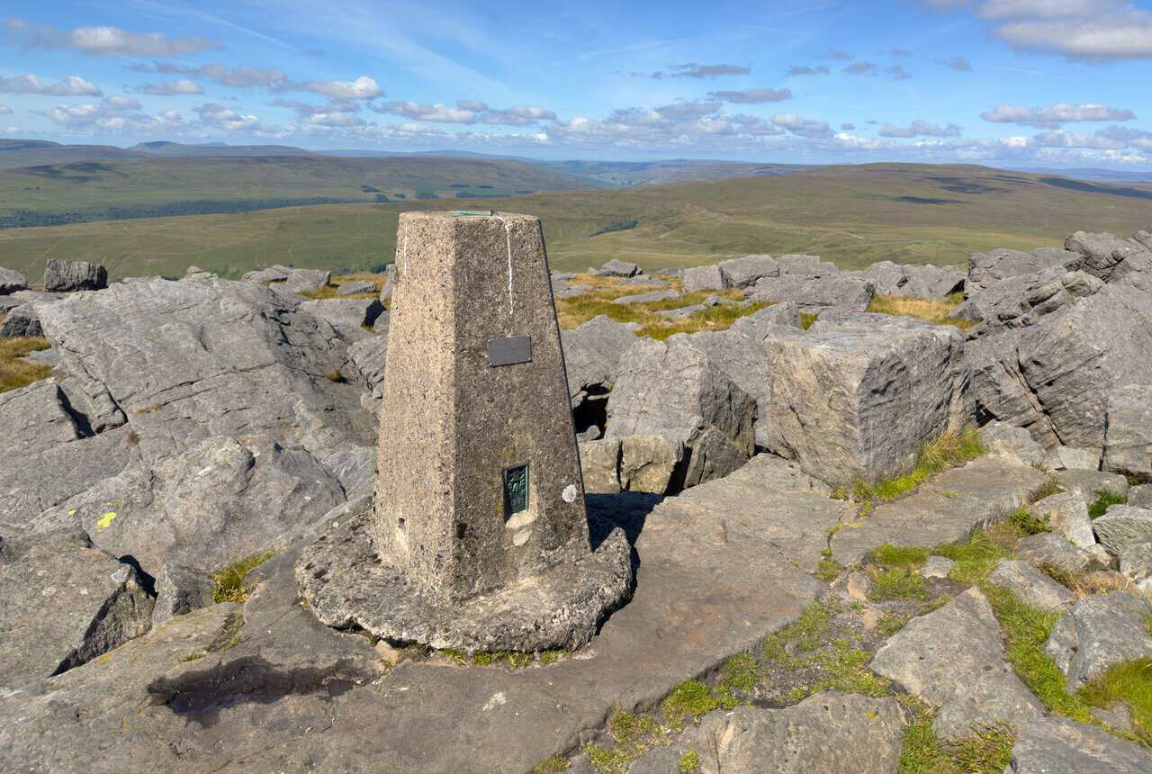
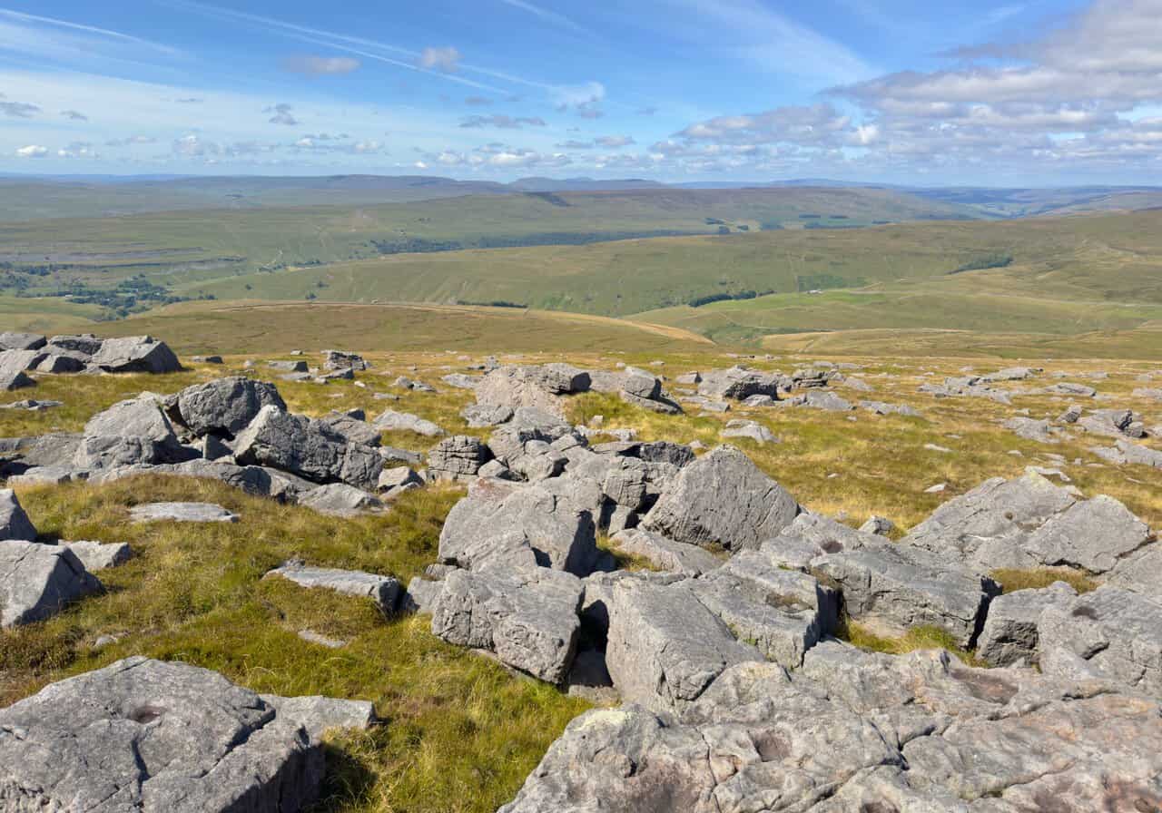
At 704 metres (2,310 feet), Great Whernside is the highest of the three peaks, and with 288 metres of drop it’s also the most independent. The summit is broad, open and scattered with boulders, with a trig pillar and a large stone cairn but no proper shelter. The name suits it well. It comes from the Old English for “hillside where millstones are found”, and the millstone grit that caps the hill lies all around you.
The plateau can be confusing in poor visibility. On a clear day, though, the views are superb, reaching across Upper Wharfedale to the Yorkshire Three Peaks of Pen-y-ghent, Ingleborough and Whernside in the far distance. Great Whernside sits on the watershed between Wharfedale and Nidderdale, with the River Nidd rising on its eastern slopes. Don’t confuse it with Whernside, the highest of the Yorkshire Three Peaks, which stands about 17 miles to the west.
Great Whernside to the Coverdale Road
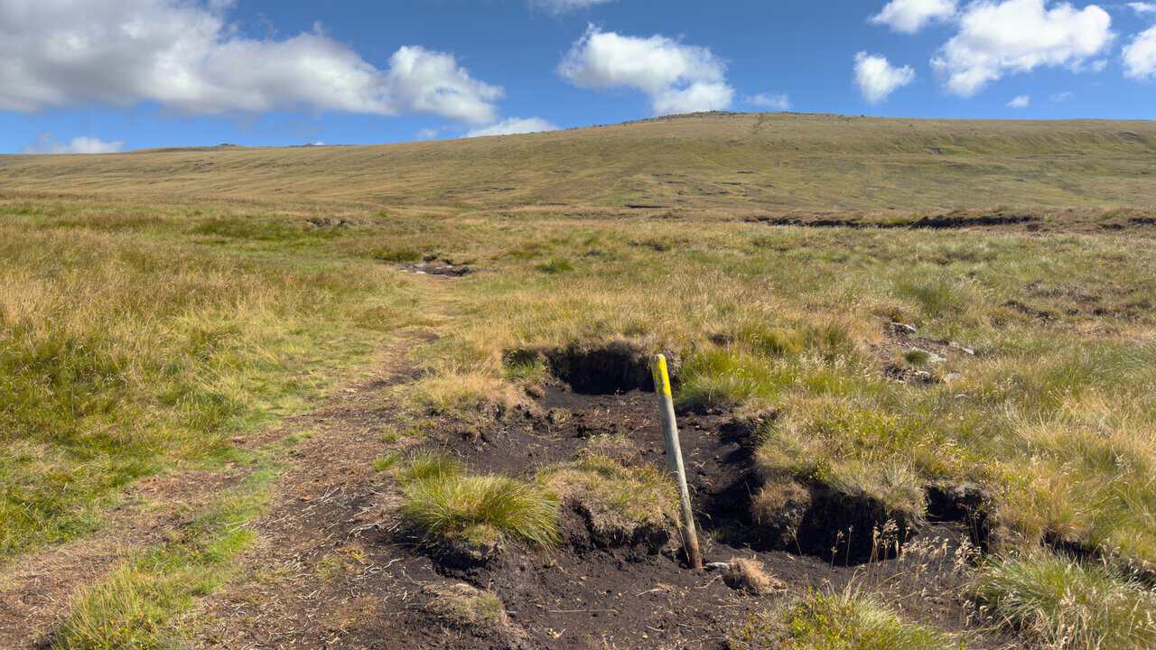
From the summit, head north along the broad ridge. A wall on your right makes a handy guide at first. As the route starts to descend, it gradually moves away from the wall, but the ground here is generally firm. After the stile at Black Dike Hole, the path drops steeply, then levels out across very boggy ground before reaching the minor road between Kettlewell and Coverdale, which climbs over Park Rash.
Where you cross the road, look out for Tor Dike, a long earthwork of ditch and bank cut into the limestone. It was long thought to have been built by the Brigantes to hold back the Romans, although it may date from the Dark Ages instead, and it’s now a scheduled monument. By this point you’ve lost a fair bit of height, and this pattern of dropping down and climbing again is a big part of what makes the day so demanding.
The Coverdale Road to Tor Mere Top
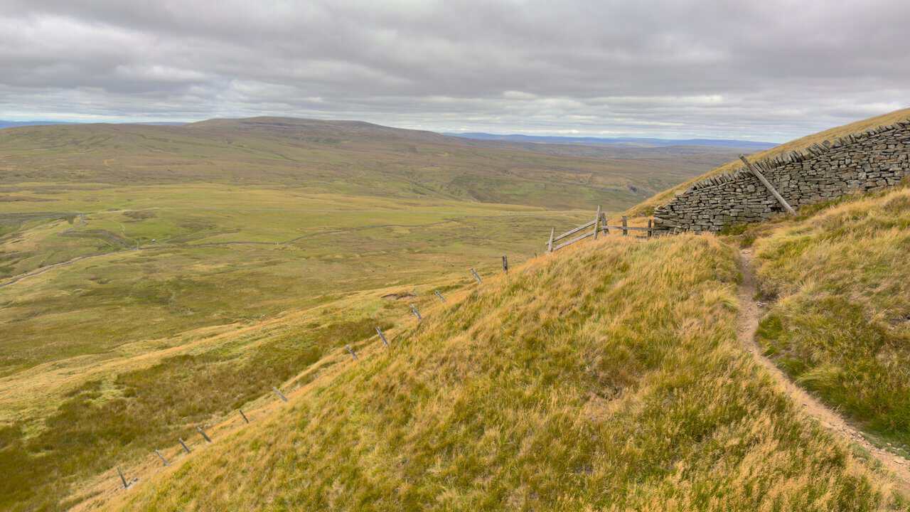
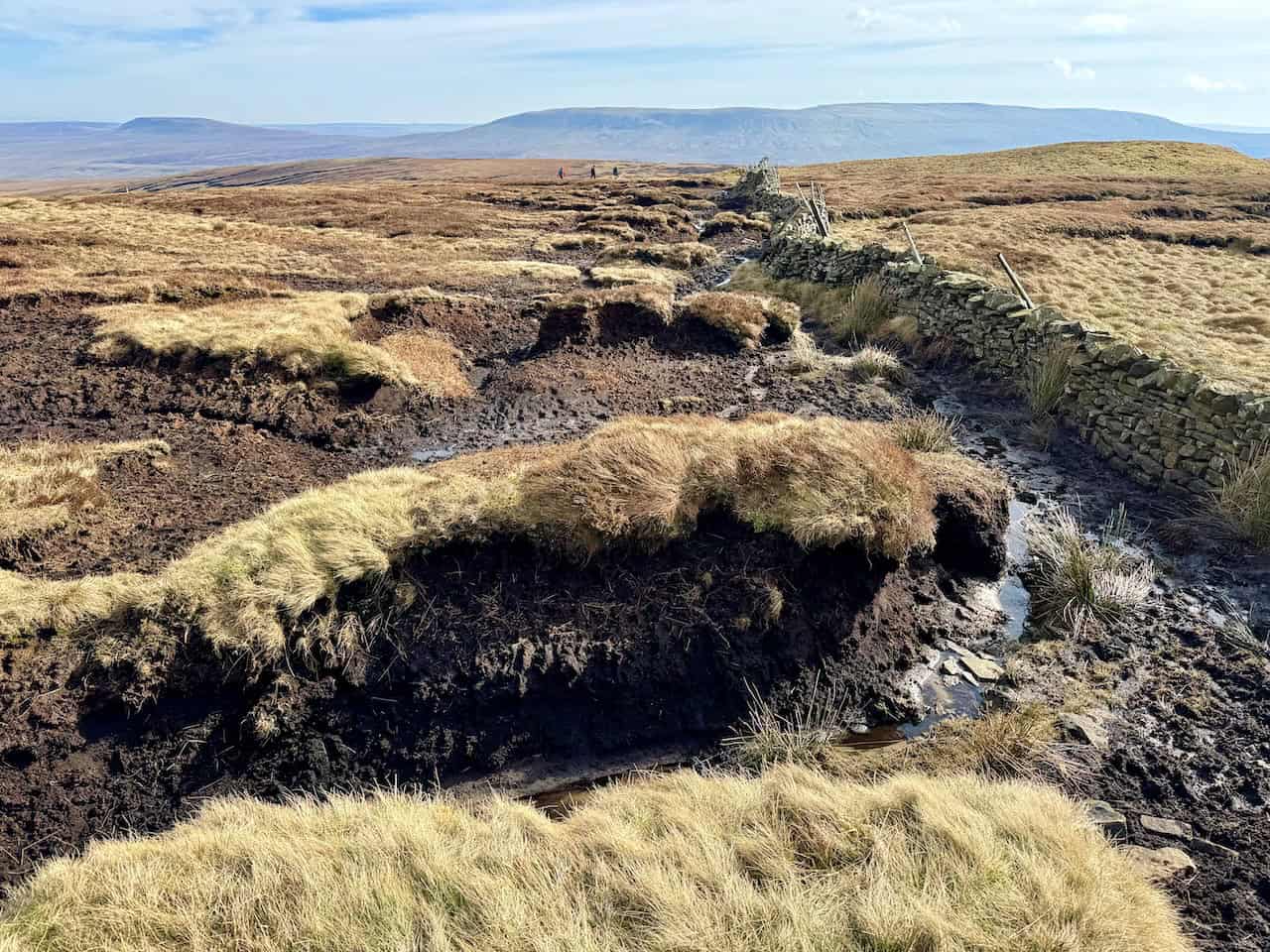
Across the road, the route heads north-west over open moorland and starts to climb again. This is one of the roughest and boggiest parts of the walk, and the uphill slog doesn’t help. The paths here are much fainter than on busier challenge routes, but a wall and boundary line give you something to follow as you approach Tor Mere Top.
At around 628 metres, Tor Mere Top isn’t one of the three peaks, but it’s a useful high point between Great Whernside and Buckden Pike. From here, the route swings north. In good visibility it all makes sense. When the cloud comes down, the broad moor, the lack of landmarks and the faint paths make this a section where good navigation really counts.
Tor Mere Top to the Polish Airmen’s Memorial
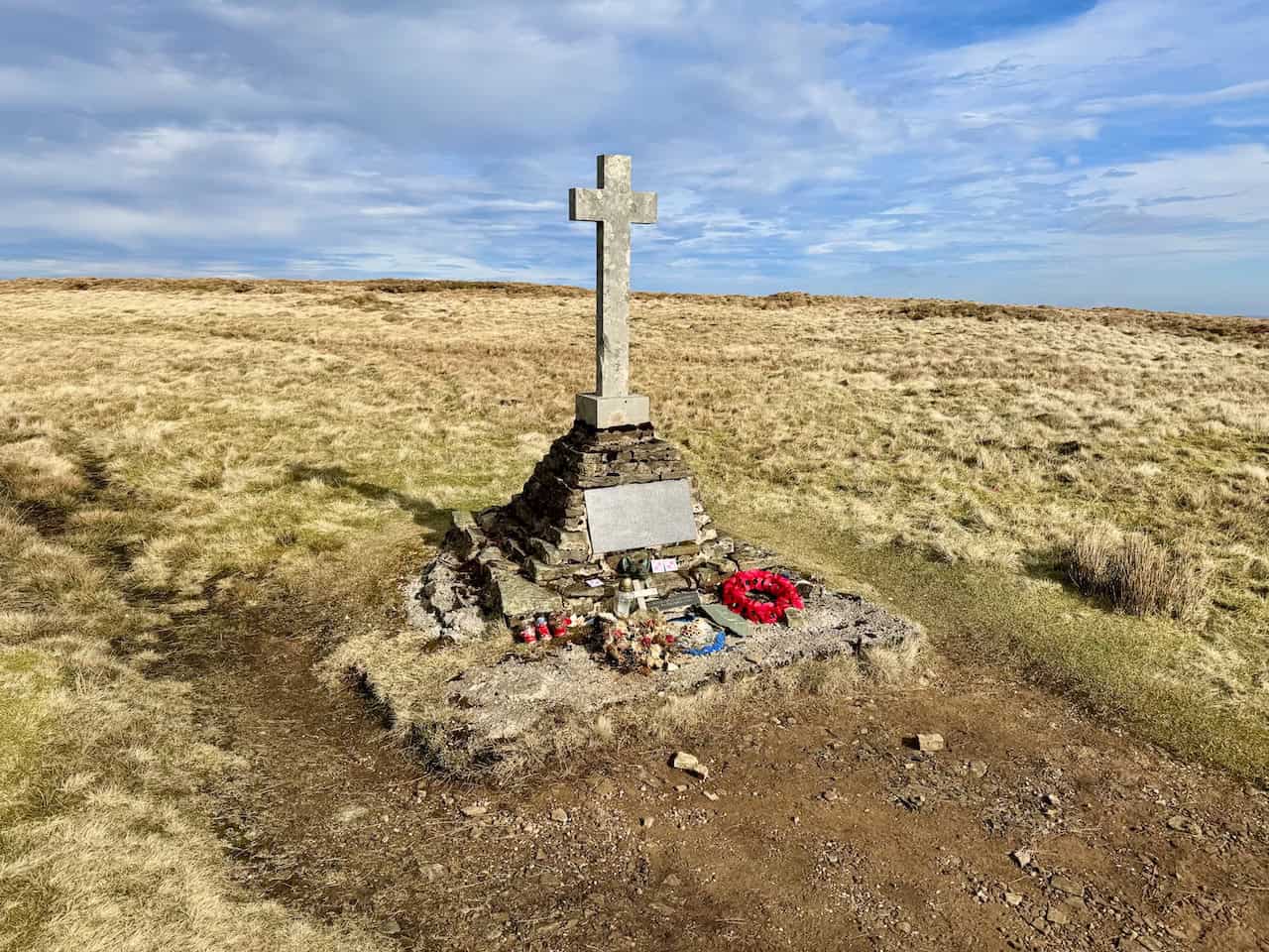
Keep following the wall north towards the southern end of Buckden Pike, and expect more boggy ground. The wall leads you to the Polish Airmen’s Memorial, which stands about half a mile south of the summit and is one of the most moving places on the whole walk.
The Story Behind the Polish Airmen’s Memorial
On 30 January 1942, a Vickers Wellington bomber of No. 18 Operational Training Unit took off from RAF Bramcote in Warwickshire on a cross-country navigation exercise. On board were six Polish airmen: Flight Lieutenant Czesław Kujawa, Pilot Officer Jerzy Polczyk, Flying Officer Tadeusz Jan Biegański, Sergeant Jan Sadowski, Sergeant Jan Andrzej Tokarzewski and Sergeant Józef Fuśniak. In a heavy snowstorm, with almost no visibility, the aircraft strayed off course and struck the summit ridge of Buckden Pike.
Four of the crew died in the crash. The rear gunner, Józef Fuśniak, survived because his turret broke away from the aircraft, and the wireless operator, Jan Sadowski, was alive but badly injured. Despite a broken ankle, Fuśniak made his friend as comfortable as he could and set off through the blizzard for help. He came across a fox’s footprints in the snow and decided to follow them, reasoning that a fox looking for food would head towards a farm. The tracks led him down to the hamlet of Cray, where the Parker family at the White Lion Inn took him in. The snow was so deep that rescuers couldn’t reach the wreckage until the following day, and by then Sadowski had died.
Fuśniak was awarded the British Empire Medal for his courage. Later in 1942, he was shot down during a bombing raid on Duisburg and spent the rest of the war as a prisoner. In the 1970s he returned to Buckden Pike and, helped by his son Richard and local people, built the memorial cross, which was completed in August 1973. Fragments of the Wellington are set into its concrete base, and a bronze fox’s head at the foot of the cross remembers the animal that led him to safety. The inscription gives thanks to God, the Parker family and local people, and remembers the five Polish airmen who died here. Józef Fuśniak died in 2017.
If you’d like to visit the memorial on a shorter day, my Buckden Pike walk climbs to the summit and memorial from Buckden.
Buckden Pike Summit
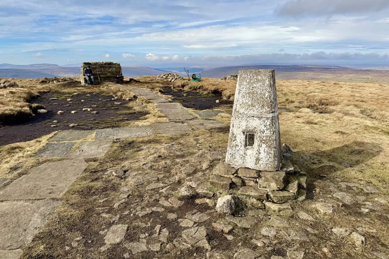
From the memorial, a paved path runs beside the wall to the summit. It’s a lovely, easy stretch after the bogs, and very comfortable underfoot. At 701.6 metres (2,302 feet), Buckden Pike is just 2.4 metres lower than Great Whernside, with 208.6 metres of drop.
The top is grassier than Great Whernside, with a trig pillar, a cairn and a stone shelter. On a clear day, you’ll see the Yorkshire Three Peaks and Fountains Fell to the west and Great Shunner Fell to the north-west, while Great Whernside fills the view back to the south-east. Old lead-mining remains are scattered across the slopes below the summit.
Buckden Pike to Buckden
The descent starts fairly steeply, but a good stone-slabbed path makes it easy to follow. Lower down, the slabs give way to grassy paths before you reach Buckden Rake, part of the Roman road that once linked the forts at Ilkley and Bainbridge. This is where the longer versions of the challenge head north to Cray. My route turns south instead, down a broad stone track through Rakes Wood to Buckden.
By the time you reach the village, you’ll have lost almost all the height you gained on Buckden Pike. That’s one of the defining features of the Wharfedale 3 Peaks: three separate mountain climbs rather than one long ascent followed by easy high-level walking.
Buckden: A Natural Halfway Break and Escape Route
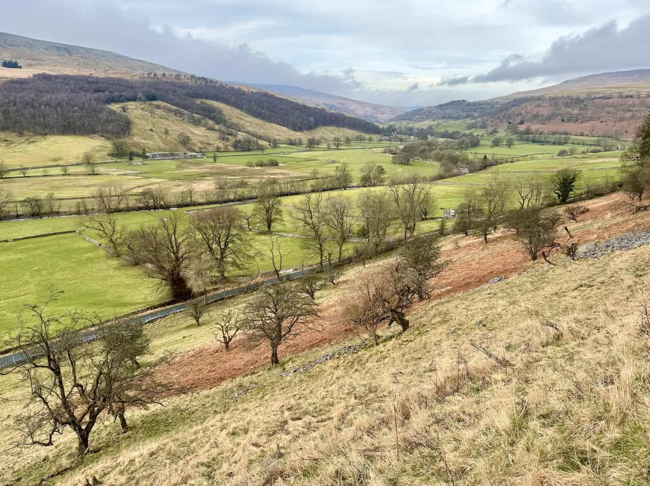
Arriving in Buckden, a little over halfway round, is a welcome return to the valley after the first two summits. The National Park car park has toilets that are open 24 hours, and there’s a pub, the Buck Inn, in the village. Even so, carry enough food and drink for the whole day rather than relying on anything being open.
Buckden is also the best escape point on the route. If Birks Fell feels like a step too far, you can walk back to Kettlewell along the Dales Way, following the River Wharfe down the valley for about four miles. It’s far flatter and easier than the western fells, and my Wharfedale walk from Buckden follows the same riverside path.
Think carefully before you carry on. Birks Fell may be the lowest of the three, but you’ll be starting its climb after many miles of walking and a descent almost to river level.
Buckden to Birks Fell
From Buckden, cross the River Wharfe and head towards Redmire, where a stone track signposted to Litton begins the climb onto the western side of the dale. Higher up, the track becomes a grassy path and the line is less obvious. With two 700-metre summits already behind you, this climb can feel tough, but the views make up for it. Look back east and you’ll see right across Wharfedale to Buckden Pike, with Great Whernside further to the south-east.
Finding the True Summit of Birks Fell
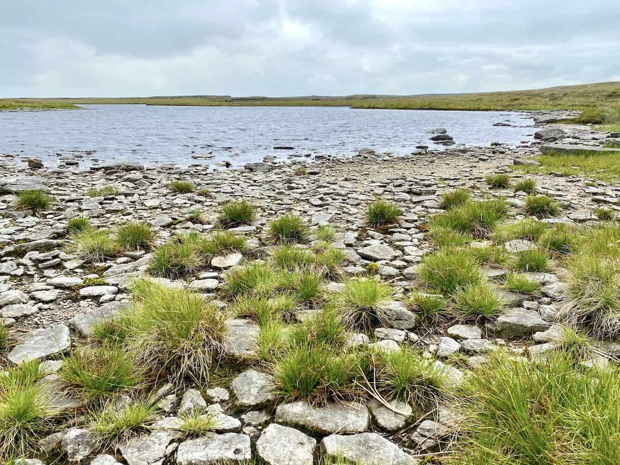
When you reach the top of the ridge, turn north-west and follow the wall along the plateau towards the true summit. About halfway along, Birks Tarn lies to your right. It’s one of the largest tarns in the Yorkshire Dales. Expect a few boggy patches along the way. The summit, at grid reference SD 91879 76368, sits a little away from the wall near some small pools and is marked by a small cairn. From there, retrace your steps south-east along the ridge, passing the Firth Fell trig pillar.
That trig pillar causes a lot of confusion. It looks like a summit marker, and many walkers take it for the top of Birks Fell, but at about 607 metres it’s roughly three metres lower than the true summit, which lies about a mile away. Without careful map reading, it’s easy to assume the pillar is the highest point, especially as the broad moorland has so few other features.
This also explains why descriptions of the organised challenge sometimes name Firth Fell as the third peak and sometimes Birks Fell. I’ve kept the true summit of Birks Fell in my route. If you’re short of time or energy, though, there’s no reason why you can’t make the Firth Fell trig pillar your third top instead. It saves about two miles and is still a fine achievement.
Firth Fell and Old Cote Moor
From Firth Fell, the long return to Kettlewell heads south-east across Old Cote Moor. A wall makes an excellent handrail, so navigation is fairly straightforward while you can see it, although there are still some boggy stretches. Wharfedale lies below you to the east and Littondale to the west, but the plateau is so broad and flat that you won’t see down into either valley for much of the way.
It’s a good place to take in the scale of your day. Across the dale stand Great Whernside and Buckden Pike, which you climbed many hours earlier. The big climbs are over now, but after three summits the long ridge can still feel tiring.
Old Cote Moor Top to Kettlewell
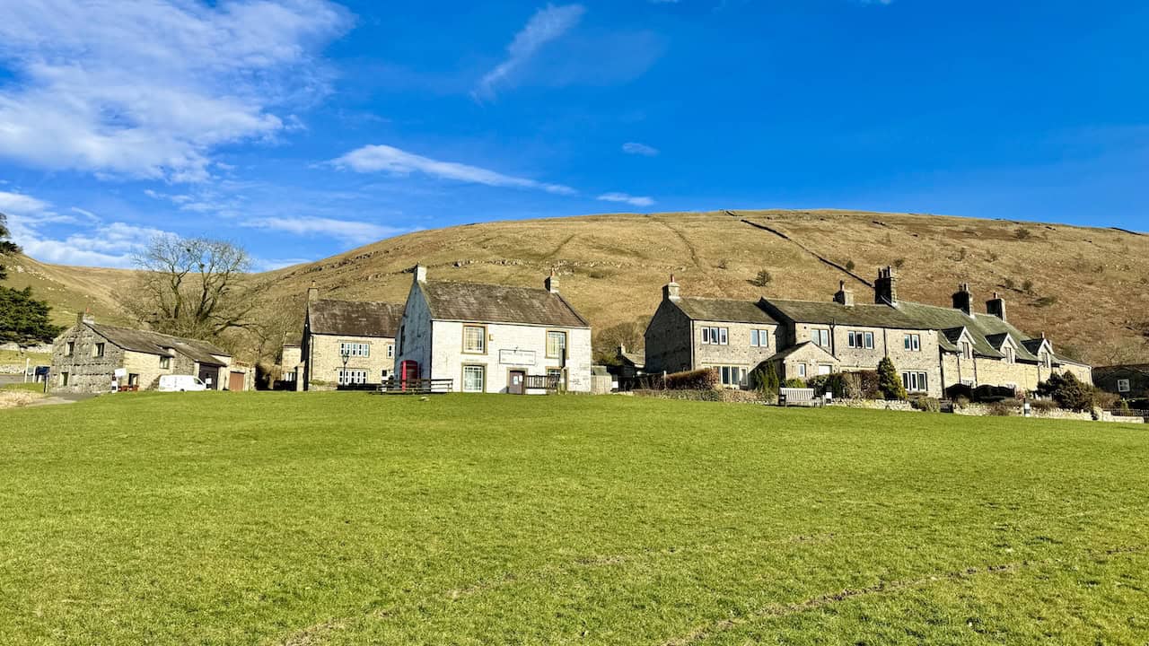
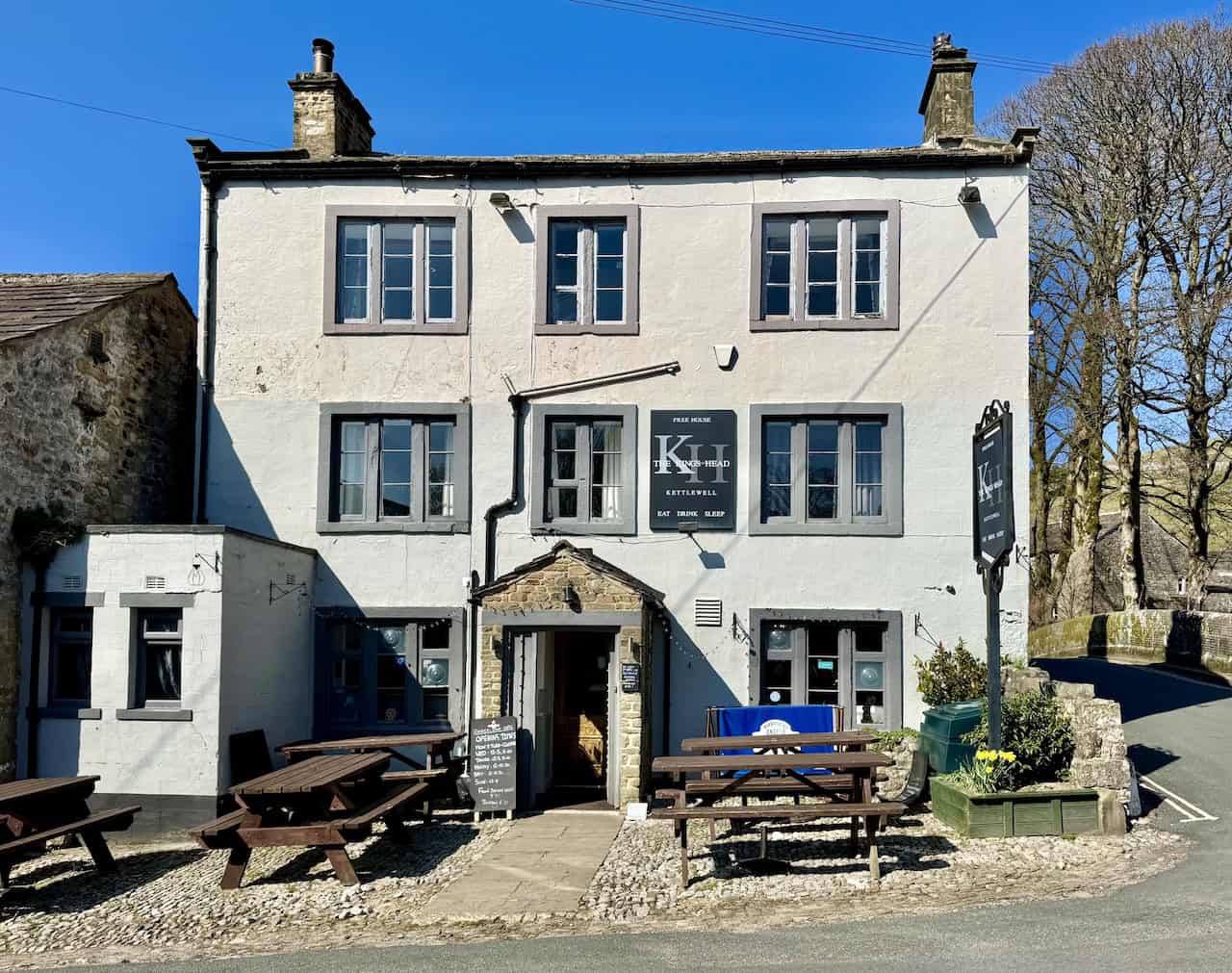
Eventually, the route leaves the high ground and drops towards Kettlewell on a grassy path, with no confusing junctions in normal conditions. There’s one short, easy step down through a nick in a band of limestone. The moorland gives way to walled fields and the green valley floor, Kettlewell comes back into view below, and you’re soon back at the car park. The village has three pubs, so you won’t have far to go for a well-earned meal and a drink.
The Landscape and Geology of the Wharfedale 3 Peaks
One of the joys of this walk is how often the landscape changes. The rocks beneath Upper Wharfedale date from the Carboniferous period. Great Scar Limestone forms the lower valley sides, and above it lie the Yoredale rocks, repeated layers of limestone, shale and sandstone that give the dale its stepped, terraced look. The highest tops, including Great Whernside, are capped by tough Millstone Grit. During the Ice Age, glaciers deepened and widened Wharfedale into the broad, steep-sided valley you see today.
You’ll feel these changes underfoot all day. Around Kettlewell and Buckden you’re among green pastures, limestone scars and dry stone walls. Higher up, the ground turns darker and rougher, with peat, coarse grass, gritstone boulders and wide, open moorland.
How Difficult Is the Wharfedale 3 Peaks?
The Wharfedale 3 Peaks is a strenuous full day in the hills. There’s no scrambling and no significant exposure, so the challenge comes from the distance, the climbing, the rough ground and the navigation. At 17.6 miles with 3,657 feet of ascent, it’s a big day on paper, but what really makes it tough is that the climbing comes in three separate chunks.
| Main Climb | Approximate Height Gained |
|---|---|
| Kettlewell to Great Whernside | Almost 500 metres |
| Park Rash Road to Buckden Pike | A little over 200 metres |
| Buckden to Birks Fell | Nearly 400 metres |
Between these climbs come long descents, including a drop of around 470 metres from Buckden Pike to Buckden, which your knees will certainly notice. All that height lost and gained again makes the route feel harder than the summit heights alone might suggest.
The ground adds to the challenge. There are good tracks and well-made paths in places, including the slabbed path on Buckden Pike, but other sections cross rough moorland, peat and bog. After prolonged rain, the going becomes wetter and slower still. You’ll need a good level of fitness, and I’d strongly recommend having some long hill days behind you before you try it.
Planning and Safety on the Wharfedale 3 Peaks
Navigation
Some sections are easy to follow, particularly where walls act as handrails. Others become much less obvious in mist or low cloud. Take particular care between the Park Rash road, Tor Mere Top and Buckden Pike, and on Birks Fell, where the true summit is far less obvious than the Firth Fell trig pillar.
Carry a paper map and compass and make sure you’re confident using them. OS Explorer OL30 Yorkshire Dales Northern & Central Area covers the whole route. The OS Maps app on your phone or a dedicated GPS device is a useful extra, but treat it as a backup rather than a substitute for basic navigation skills. Experienced navigators can follow the route in poor visibility, but the broad plateaux need much more care once distant landmarks disappear.
Weather and Ground Conditions
Great Whernside and Buckden Pike both top 700 metres and take the full force of the wind and weather, and there’s very little shelter on the moorland between them. Check a mountain weather forecast before you set off. Wet weather affects the ground as much as the visibility. The flatter upland sections are naturally boggy, particularly above Hag Dyke, across the moorland between the first two peaks, and around Birks Fell and the western ridge.
What to Take
- Waterproof walking boots, and gaiters for the boggy sections
- A full set of waterproofs and warm layers
- A paper map and compass, with the OS Maps app or a GPS device as a backup
- Plenty of food and water for the whole day
- A headtorch, even if you plan to finish well before dark
- A small first aid kit and a fully charged phone
Stiles, Gates and Livestock
The route crosses a mix of open moorland and working farmland, with stiles and gates throughout, although none stands out as especially difficult. Sheep are everywhere and you may meet cattle too. Their locations change with the farming year, so never assume a field will be empty just because it was last time. Please follow the Countryside Code and give cattle plenty of space, especially when they have calves.
Walking With Dogs
There’s nothing technical on the route to stop a fit, experienced hill dog from joining you. Do think about the length of the day, the rough and boggy ground, the stiles and the livestock, though. Some of the wall crossings on the high ground around Buckden Pike are ladder stiles, which not every dog can manage.
Much of the high ground is open access land, where you must keep your dog on a lead no longer than two metres between 1 March and 31 July, and at all times around livestock. You can read more on the GOV.UK right to roam page. Always follow any local signs too.
In an Emergency
If you or someone with you needs help on the fells, dial 999, ask for the police and then ask for mountain rescue. Give your location as precisely as you can, ideally with a grid reference. In poor signal, a text can sometimes get through when a call won’t, but you need to register your phone for the emergencySMS service before you go.
Wharfedale 3 Peaks Compared With the Yorkshire 3 Peaks
The obvious comparison is with the much better-known Yorkshire 3 Peaks of Pen-y-ghent, Whernside and Ingleborough. Despite the similar names, they’re quite different days out.
| Walk Detail | Wharfedale 3 Peaks (My Route) | Yorkshire 3 Peaks |
|---|---|---|
| Usual Start | Kettlewell | Horton in Ribblesdale |
| Distance | 17.6 miles | Around 24 miles |
| Ascent | 3,657 feet (1,115 metres) | Over 5,000 feet (nearly 1,600 metres) |
| Highest Point | Great Whernside, 704 metres | Whernside, 736 metres |
| Paths | Some good tracks, but also faint moorland paths, sheep trods and bog | Well-maintained, heavily used paths |
| Crowds | Usually quiet | Often very busy |
The Yorkshire 3 Peaks is longer and involves more climbing, and it’s one of the country’s best-established challenge walks. The Wharfedale route asks different things of you, with rougher ground, quieter moorland and more navigation, and in places there’s barely a path at all. I wouldn’t call either one universally harder. The Yorkshire 3 Peaks feels like following a famous challenge circuit, while the Wharfedale 3 Peaks feels more like a traditional journey around the high fells of a whole dale.
Final Thoughts
The Wharfedale 3 Peaks is far more than a shorter alternative to its famous neighbour. It’s a proper challenge in its own right, linking three distinct fells on opposite sides of Upper Wharfedale, with long climbs, deep descents, rough moorland and plenty of navigation.
Along the way, you’ll see almost everything that makes this part of the Dales so special: the rocky summit of Great Whernside, the wild moors between the peaks, the moving story of the Polish airmen on Buckden Pike, the green valley floor at Buckden, the understated summit of Birks Fell and the long western ridge leading you home to Kettlewell. If you’re a fit, experienced walker looking for a big, quiet day in the hills, I think you’ll find it hugely rewarding. For gentler days in the area, have a look at my Yorkshire Dales walks.
Wharfedale 3 Peaks FAQs
Can I Start the Wharfedale 3 Peaks From Buckden?
Yes. As it’s a circular walk, Buckden works well as a start, and the National Park car park there (BD23 5JA) has toilets. Walking anticlockwise from Buckden, you’d climb Birks Fell first, pass through Kettlewell roughly halfway round, then finish over Great Whernside and Buckden Pike and down Buckden Rake.
Can I Split the Walk Over Two Days?
Yes, and Buckden makes the natural place to break it. Day one from Kettlewell over Great Whernside and Buckden Pike to Buckden is roughly 9½ miles, and day two over Birks Fell and Old Cote Moor back to Kettlewell is about 8 miles. You could stay overnight in Buckden, or catch a bus between the two villages.
Is There Public Transport to Kettlewell and Buckden?
Yes. Local buses link Skipton and Grassington with Kettlewell and Buckden, including a Monday to Saturday minibus service and a DalesBus service on Sundays and bank holidays. Timetables change, so check the DalesBus Skipton, Grassington and Buckden page before you travel.
Are the Wharfedale 3 Peaks Part of the Dales 30?
Yes. The Dales 30 is a popular list of the 2,000-foot mountains of the Yorkshire Dales, and Great Whernside, Buckden Pike and Birks Fell are all on it. Birks Fell is one of the lowest on the list, so this walk ticks off three in a single day.
When Is the Organised Wharfedale 3 Peaks Challenge Held?
The UWFRA event has usually been held on the last Saturday in June, starting and finishing in Kettlewell. Alongside the Three Peaks course there’s a Two Peaks route and a shorter valley walk, and dogs are only allowed on the valley walk. Dates and entry details are published on the UWFRA website.
Can I Walk the Wharfedale 3 Peaks in Winter?
Only if you’re an experienced winter hillwalker. In December there are fewer than eight hours of daylight, which isn’t enough for most walkers to finish in the light. Snow and ice make the steep sections harder, and the broad tops are very difficult to navigate in cloud. For most people, the long days of late spring and summer are a much better choice.