ADVERTISEMENT
Plan Your Next Adventure with 20 Free Printable Guides for North Yorkshire Walks
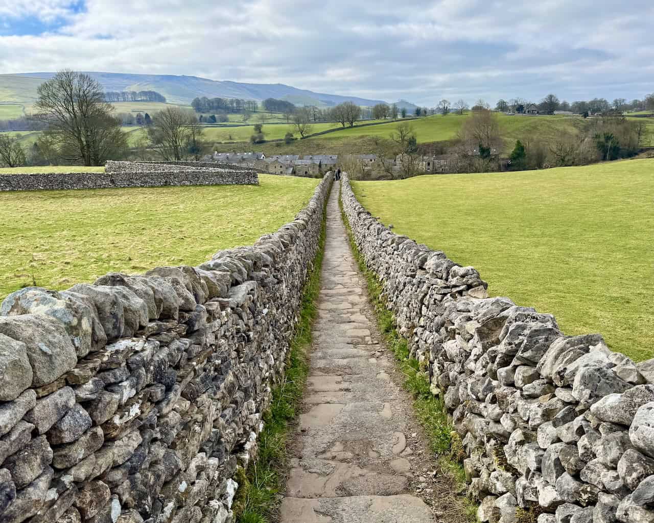
North Yorkshire walks are the focus of this page, bringing together twenty free, printable PDF guides across the Yorkshire Dales, the North York Moors and Nidderdale AONB. Each guide includes step-by-step directions, a clear route map, distance and difficulty, typical time, the start point and parking, plus concise highlights so you can choose the right day out quickly and confidently.
If you are shortlisting North Yorkshire walks, start with the contents table. It shows the walk name and distance with two quick links. Click a walk name to jump straight to its section on this page for a concise overview, or simply scroll down to browse them in order.
ADVERTISEMENT
When you want more, use the two links provided for every walk. Tap ‘PDF’ to open the printable guide, ideal for saving to your phone for offline use. Choose ‘Page’ to visit the dedicated page on my site, where you will find extra photos and richer context to help with planning. Plus there is a supporting video, available for you to watch on YouTube.
Each section follows the same easy format. A short scene-setter gives the flavour of the route, followed by practical detail covering distance, typical time, terrain and points of interest, with OS Explorer references and clear notes on where to start and park. Distances and times use familiar mixed fractions, for example ‘8½ miles’ and ‘3¼ hours’, and the language is kept plain and precise for quick planning on mobile or desktop.
ADVERTISEMENT
North Yorkshire Walks Table of Contents
| Walk Name | Distance | Duration | Quick Links |
|---|---|---|---|
| Appleton-le-Moors Walk | 7 miles | 3¼ hours | PDF | Page |
| Bewerley Industrial Heritage Trail | 10¼ miles | 5 hours | PDF | Page |
| Blakey Ridge Walk | 8 miles | 3¾ hours | PDF | Page |
| Buckden Pike Walk | 8 miles | 4¼ hours | PDF | Page |
| Crackpots Mosaic Trail | 7 miles | 4 hours | PDF | Page |
| Dent Walk | 5 miles | 2½ hours | PDF | Page |
| Grassington Walk | 8½ miles | 4 hours | PDF | Page |
| Guisborough 3 Peaks | 6½ miles | 3½ hours | PDF | Page |
| Guisborough Woods Walk | 7½ miles | 3¾ hours | PDF | Page |
| Hawes Mosaic Walk | 11 miles | 5 hours | PDF | Page |
| Ingleborough Walk | 10½ miles | 5½ hours | PDF | Page |
| Kettlewell Walk | 9 miles | 4¾ hours | PDF | Page |
| North Yorkshire Walk | 12 miles | 5½ hours | PDF | Page |
| Pateley Bridge Walk | 8½ miles | 4¼ hours | PDF | Page |
| Pen-y-ghent Walk | 7½ miles | 4 hours | PDF | Page |
| Swaledale Walk | 10¼ miles | 5 hours | PDF | Page |
| Tupgill Park Walk | 11¼ miles | 5 hours | PDF | Page |
| Wensleydale Walk | 10½ miles | 5 hours | PDF | Page |
| Wharfedale Walk | 9½ miles | 4½ hours | PDF | Page |
| Whernside Walk | 10 miles | 5¼ hours | PDF | Page |
ADVERTISEMENT
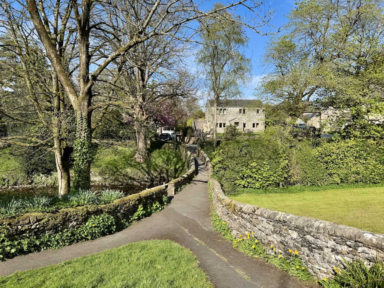
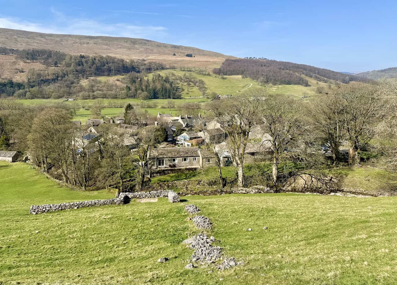
Appleton-le-Moors Walk
Woods, Villages and the River Seven
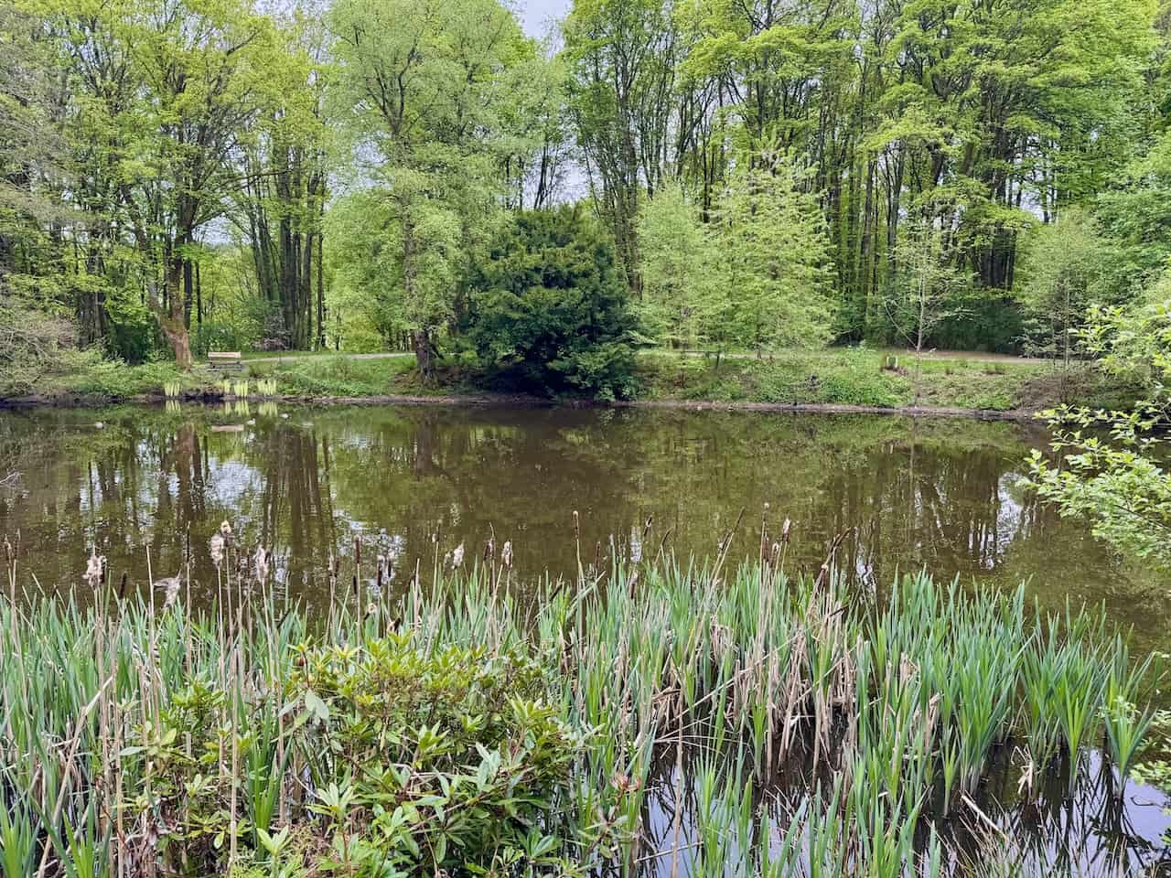
This circular route leaves the village green by Sinnington Village Hall and the maypole, then threads north past All Saints’ and along Wiley Flat Lane on the edge of Stables Wood towards Cropton. You loop through the village via High Street and Church Lane to visit St Gregory’s, then follow Low Lane on the Tabular Hills Walk to the arched footbridge over the River Seven. A steady climb on Hamley Lane brings you into Appleton-le-Moors at the north end, before a quiet bridleway leads south through Bishop Hagg Wood to ‘The Stripe’ and a lovely riverside return into Sinnington. Expect waymarkers, short road interludes, and plenty of variety from woodland paths to grassy tracks.
Why This Route Belongs in Your North Yorkshire Walks Shortlist
The PDF sets out a moderate 7 miles, around 3¼ hours, mostly on clear lanes and bridleways with some steady climbs and woodland sections. Interest points include Cropton’s New Inn, the wrought-iron memorial bench for Jim Flintoft, Christ Church in Appleton-le-Moors, and the handsome farmhouse at Kirby Balk. Parking is beside Sinnington Village Hall, and the recommended mapping is OS Explorer OL27. Surfaces can be muddy after rain, especially near the river and in the woods, and there is a very short stretch on a reasonably busy road. It is a friendly introduction to North Yorkshire walks with a classic mix of village, woodland and riverside.
ADVERTISEMENT
Bewerley Industrial Heritage Trail
Mines, Lime Kilns and the Coldstones Cut
Begin at Nidderdale Museum in Pateley Bridge and cross the River Nidd to climb gently through Bewerley, with a short detour to the Grade II listed Bewerley Grange Chapel. Continue by Peat Lane into Fishpond Wood, then up past White Wood Farm and Moor View Farm to the waymarked trail. Visit Toft Gate Lime Kiln and the dramatic viewing platform of The Coldstones Cut above the quarry, traverse open moor via Tewit Farm and Galloway Pasture to Greenhow Hill, then descend by Prim Gap House to the Cockhill Lead Mines. Join the Nidderdale Way over Brandstone Dub Bridge for an easy finish through Bridgehouse Gate and up Pateley High Street to the museum.
Highlights for Fans of North Yorkshire Walks
It is a varied 10¼ miles, around 5 hours, on mixed moorland paths, field tracks and minor lanes that can be uneven or muddy. Industrial set-pieces, woodland calm, open moor and village heritage make this a richly textured day. Use OS Explorer 298 and the Nidderdale Agricultural Society car park for convenient access. For lovers of North Yorkshire walks with strong sense of place, the contrasts and interpretation boards make this route especially rewarding.
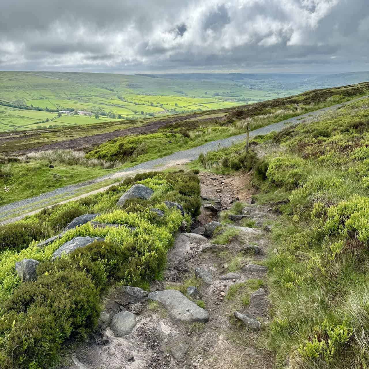
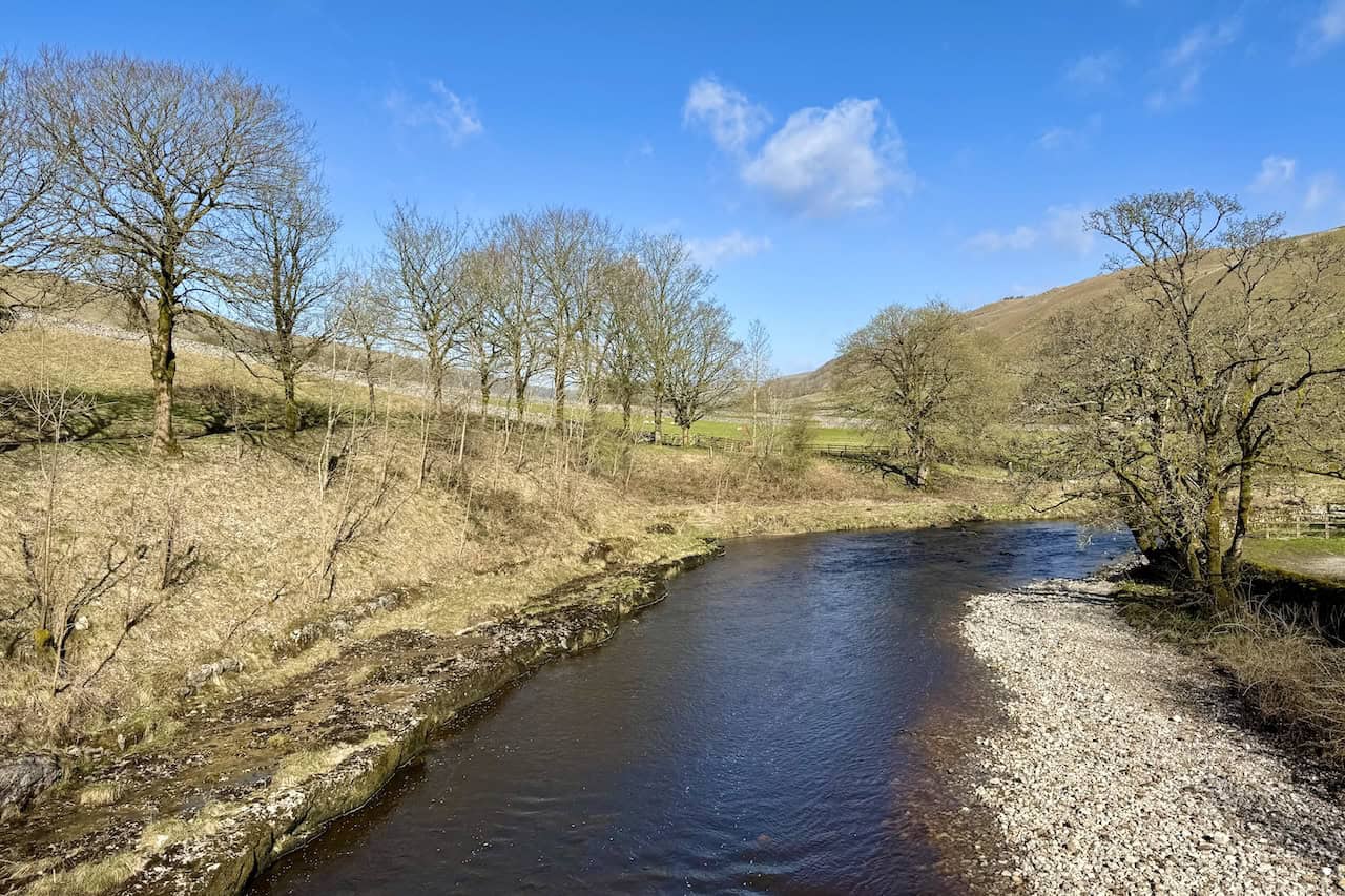
Blakey Ridge Walk
High Moor and Big-Sky Rosedale Views
From the Lion Inn on Blakey Ridge, drop south-east into Rosedale past Overend, Hollin Bush and Moorlands farms, then follow the Daleside Road track through the valley via High House Farm and Medd’s Farm to Thorgill. Climb the short, steep pull of Thorgill Bank to reach the dismantled Rosedale Railway, then enjoy an easy, panoramic traverse back over open moor towards the ridge to finish at the Lion Inn.
A Standout among North Yorkshire Walks
Eight miles in about 3¾ hours, graded moderate with one testing ascent. Underfoot you will find grassy paths, farm tracks, minor lanes and the broad railway trackbed, with boggy patches after rain. Expect wide horizons, traces of industrial kilns across the valley and an airy, big-sky feel throughout. The map to use is OS Explorer OL26. If you enjoy North Yorkshire walks with long views and simple navigation, this ridge-and-railway combination is ideal.
ADVERTISEMENT
Buckden Pike Walk
Summit, Memorial Cross and Dales Way Return
Climb from the YDNP car park in Buckden through Rakes Wood and up beside a wall to the trig-topped summit of Buckden Pike at 702 metres. Continue south across the plateau to the Memorial Cross honouring five Polish airmen, then descend Starbotton Fell by posts and cairns to the village. Cross to the River Wharfe and follow the Dales Way north for a peaceful riverside finish back to Buckden.
Planning North Yorkshire Walks and What to Expect on This Route
An 8-mile circuit in roughly 4¼ hours, moderate to challenging, on stony upland tracks, rocky fell paths and firm riverside meadows, with boggier ground near the top after rain. Wide Wharfedale panoramas and the contrast between exposed fell and gentle riverbank make this a classic. Use OS Explorer OL30 and start from the Buckden car park. It is a staple of North Yorkshire walks, pairing a satisfying summit with a mellow return along the Wharfe.
Crackpots Mosaic Trail
A Creative Loop through Dallowgill
From the car park on Kirkby Malzeard Moor near Tom Corner, follow quiet lanes, gravel tracks and field paths to discover a sequence of 22 community mosaics celebrating the Nidderdale AONB. The route is waymarked and weaves by woodland edges and open moor, with panels featuring local wildlife and rural scenes such as Curlew, Barn Owl, Bluebells, Dragonfly and Roman Soldier.
How This Fits into Classic North Yorkshire Walks
About 7 miles in roughly 4 hours on moderate terrain that mixes tarmac, tracks and fields. It is an art-rich outing with constant points of interest and gentle undulation, ideal for a relaxed day with lots to look at. Use OS Explorer 298 for simple navigation between mosaics. Among North Yorkshire walks, few offer such a neat blend of countryside and community artwork.
ADVERTISEMENT
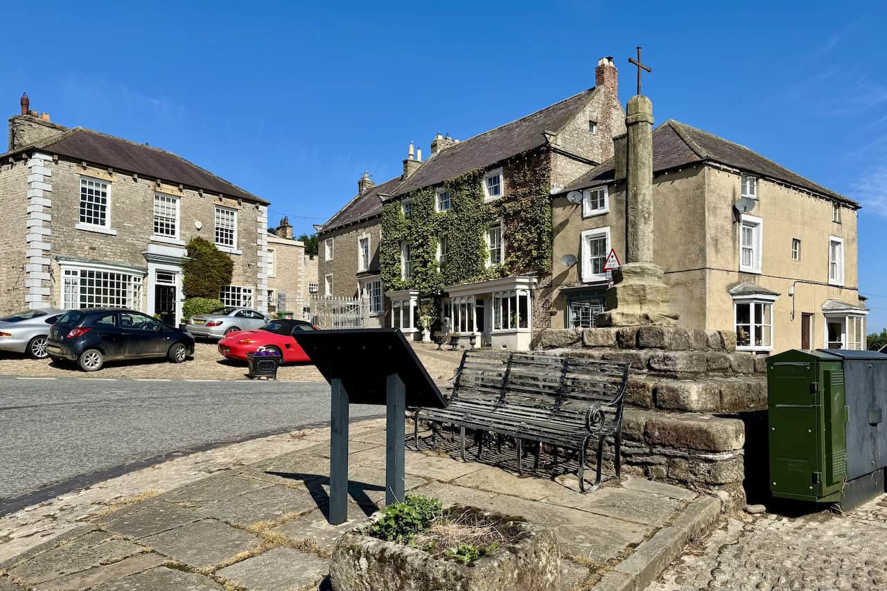
Dent Walk
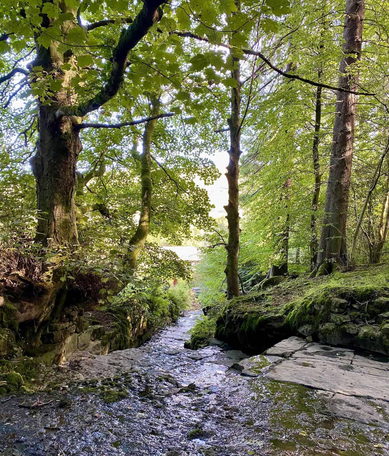
Flinter Gill and Quiet Dentdale Paths
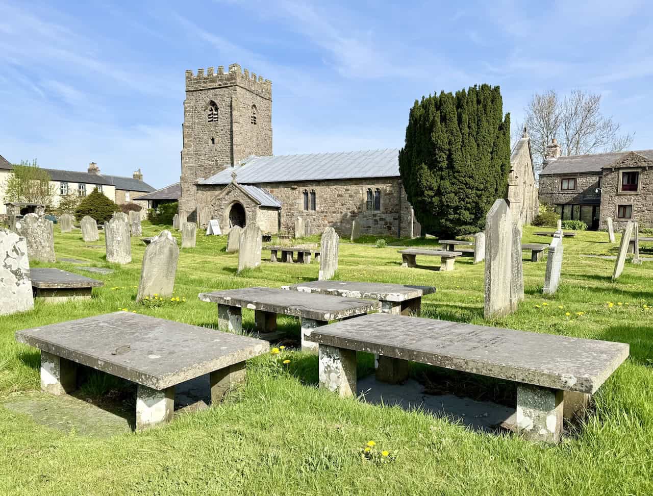
Start in Dent village to explore the Flinter Gill ravine, where you will find the ‘Dancing Flags’ and a centuries-old ‘Wishing Tree’, then climb towards the view-indicating toposcope. Pass High Ground Farmstead with its restored 1750 lime kiln and vintage machinery, follow Green Lane and Nun House Outrake to the hamlet of Slack, then join the Dales High Way beside the River Dee for a scenic return to Dent’s cobbled streets and St Andrew’s Church.
Tips for Enjoying North Yorkshire Walks on This Route
Just under 5 miles on varied but easygoing paths with modest ascent, starting from the pay-and-display in Dent. Traditional pubs, the Dent Village Heritage Centre & Museum and pastoral valley views make this a compact, characterful loop. Use OS Explorer OL2 for mapping. For those collecting North Yorkshire walks with heritage touches, this one packs a lot into a short distance.
Grassington Walk
Linton Falls, Hebden Beck and the Old Lead Mines
Begin at the National Park Visitor Centre in Grassington and follow the way to Linton Falls, then keep the Dales Way beside the Wharfe to Hebden Suspension Bridge. Turn into Hebden via Mill Lane and the trout farm, then head up Hebden Beck past Hole Bottom and over the single-arched bridge. Climb through historic mine workings, cross the stepping stones and shallow ford, then continue to Yarnbury and traverse the moor by High Barn and Bare House before dropping south on long field paths back to Grassington.
Where This Sits among the Best North Yorkshire Walks
An 8½-mile day in around 4 hours with gradual climbs on firm tracks, grassy footpaths and rougher sections near old mining sites. The blend of waterfalls, riverside calm, moorland views and tangible lead-mining heritage gives constant interest. Use OS Explorer OL2 and the Yorkshire Dales National Park Visitor Centre car park with facilities. It is a fine choice for North Yorkshire walks that balance scenery with social history.
ADVERTISEMENT
Guisborough 3 Peaks
Three Peaks above the Tees Valley
From Hutton Village Road, climb through Hutton Lowcross Woods to Roseberry Topping on a zigzagging stone-stepped path, then loop across Little Roseberry to Newton Moor. Take the grassy track out to Hanging Stone above Guisborough, rejoin the Cleveland Way and continue to Highcliff Nab for grand views. Finish with a long forestry descent to Hutton Village.
What Makes This One of the Most Rewarding North Yorkshire Walks
A 6½-mile, 3½-hour circuit combining woodland bridleways, flagged moorland paths and short steep pulls. Expect panoramas over the Tees Valley, the Cleveland Hills and, on clear days, towards the coast. Mapping is OS Explorer OL26 with roadside parking on Hutton Village Road. As North Yorkshire walks go, it offers big viewpoints for relatively modest effort.
Guisborough Woods Walk
Forest Tracks and Moor-Edge Vistas
Climb from Hutton Village Road through Hutton Wood to the moor edge, then follow the Cleveland Way on a paved path towards Highcliff Nab. Steps lead to the top for a wide panorama, after which the route runs the ridge and turns onto broad forestry tracks. Traverse long woodland sections with a grassy clearing above a disused quarry, negotiate two sharp U-turns, then descend to the woodland fringe and loop past Hutton Hall back to the lane.
A Quiet Gem for Lovers of North Yorkshire Walks
Around 7½ miles in about 3¾ hours on a mix of lanes, sometimes muddy paths, forestry tracks and paved ways, with moderate climbs and descents. The woods rise from roughly 150 to over 300 metres, with the Cleveland Way skirting the high edge for superb views across Teesside and, on clear days, to the coast. Use OS Explorer OL26. For gentle elevation and generous vistas, it is one of the more versatile North Yorkshire walks near the Tees Valley.
ADVERTISEMENT
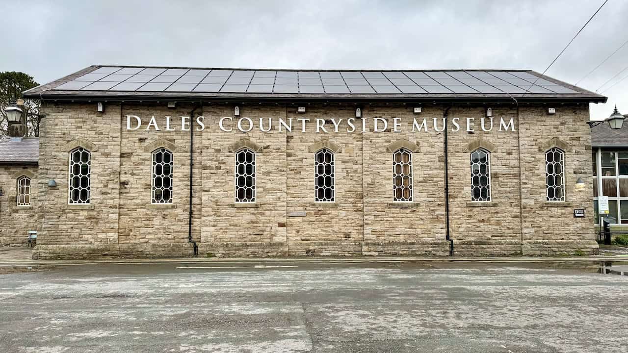
Hawes Mosaic Walk
Twenty Artworks across Upper Wensleydale
Set out from the Dales Countryside Museum in Hawes on an 11-mile circuit through Burtersett, Gayle, Hardraw and Sedbusk, with views to Great Shunner Fell and Lovely Seat. Visit Aysgill Force and the Appersett Viaduct, then finish at St Margaret’s Church to see the Millennium Window that inspired the trail’s mosaic themes.
Why Choose This Route for North Yorkshire Walks
Created in 2000 by the local community, the mosaics celebrate wildlife, farming and local stories, with favourites such as ‘Sheep in Field’, ‘Curlew’, ‘Steam Train’ and ‘Red Squirrel’. About 5 hours on well-defined paths, farmland tracks and stone-flagged trails, with some steeper sections. Park at the museum and use OS Explorer OL30. It stands out among North Yorkshire walks for its clear theme and village-to-village flow.
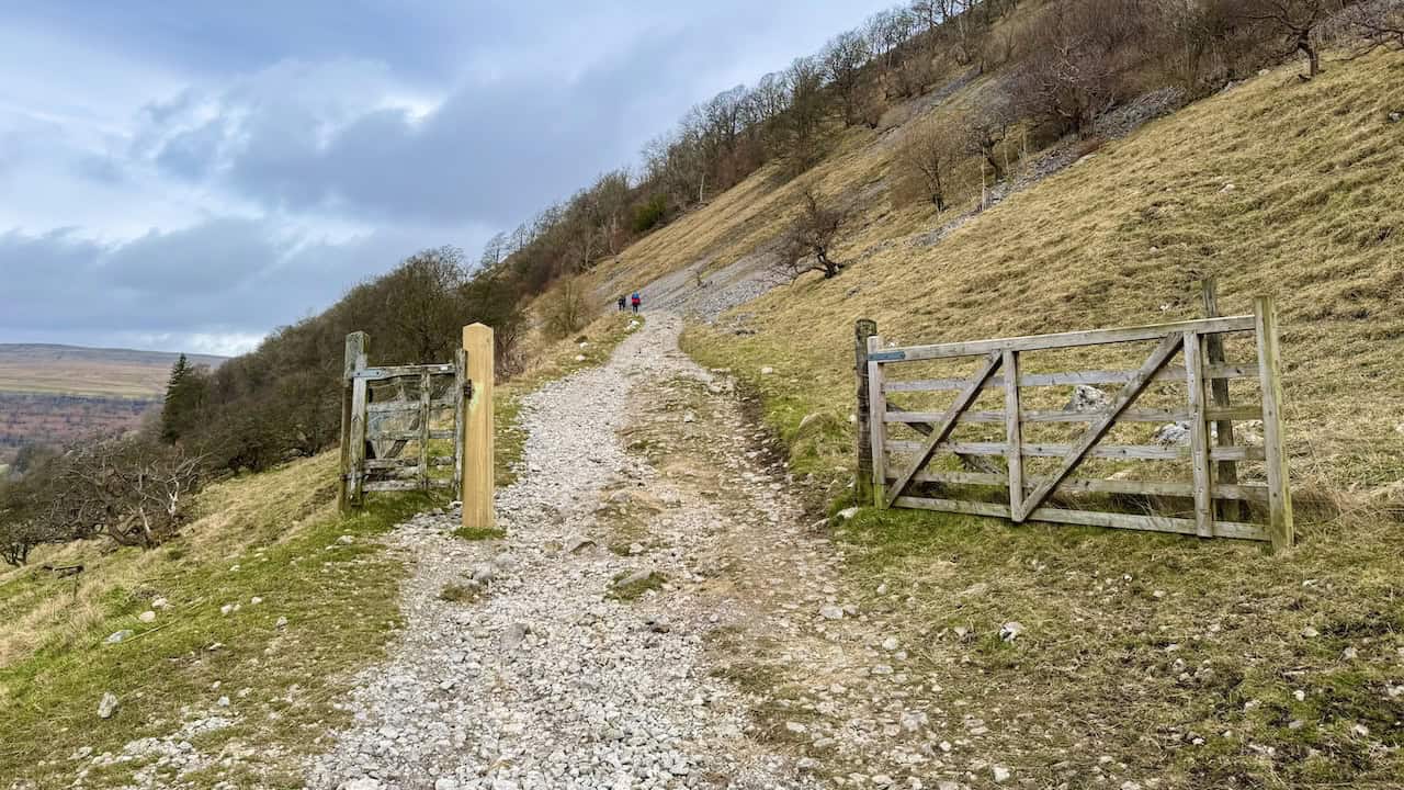
Ingleborough Walk
Trow Gill, Gaping Gill and the Ingleborough Plateau
From Clapham’s YDNP car park, follow Riverside past Hall Garth and Yew Tree Cottages to the Old Sawmill Café, then take the stony bridleway towards Ingleborough Cave. Continue up Clapdale Drive beside Clapham Beck, pass the cave and climb through the limestone ravine of Trow Gill. Higher up, a flagged and stepped path follows the wall towards Little Ingleborough, then a sustained ascent leads to the edge of the plateau and on to the summit trig.
One of the Great North Yorkshire Walks
The guide sets out 10½ miles, around 5½ hours, fairly challenging, on tarmac links, stone tracks, rocky steps and compacted gravel. Highlights include an out-and-back to the vast natural shaft of Gaping Gill, limestone pavements on the return and views to Whernside and Pen-y-ghent. Use OS Explorer OL2 and start from the National Park car park. It is a flagship of North Yorkshire walks, combining caves, limestone and a high fell top.
Kettlewell Walk
Two Valleys in a Single Circuit
Leave the village car park, cross the Wharfe and pick up a permissive path that joins the public footpath for a steady wooded climb. Top out by a large grassy meadow and a ladder stile, descend to Hawkswick and follow quiet lanes to the Skirfare footbridge for a long riverside run through meadows to Arncliffe. Pass St Oswald’s and the packhorse bridge over Cowside Beck, then turn by the farm at Old Cotes for the bridleway climb to Brayshaw Scar and the moorland wall before the final farm ahead.
Highlights for Fans of North Yorkshire Walks
Nine miles in roughly 4¾ hours with two notable ascents, uneven hillside paths, exposed moorland bridleways, and stiles and gates en route. Restored heritage like the lime kiln, photo-worthy village scenes and sweeping views towards Buckden Pike and Great Whernside keep the interest high. OS Explorer OL30 covers the route, and parking is in Kettlewell’s National Park car park. Among North Yorkshire walks, this one feels rich and varied without being overly long.
ADVERTISEMENT
North Yorkshire Walk
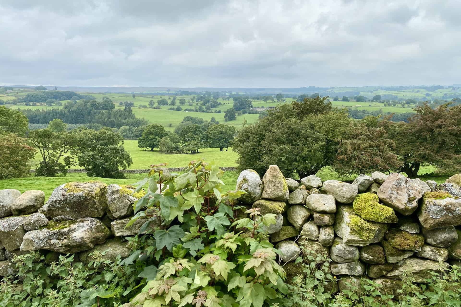
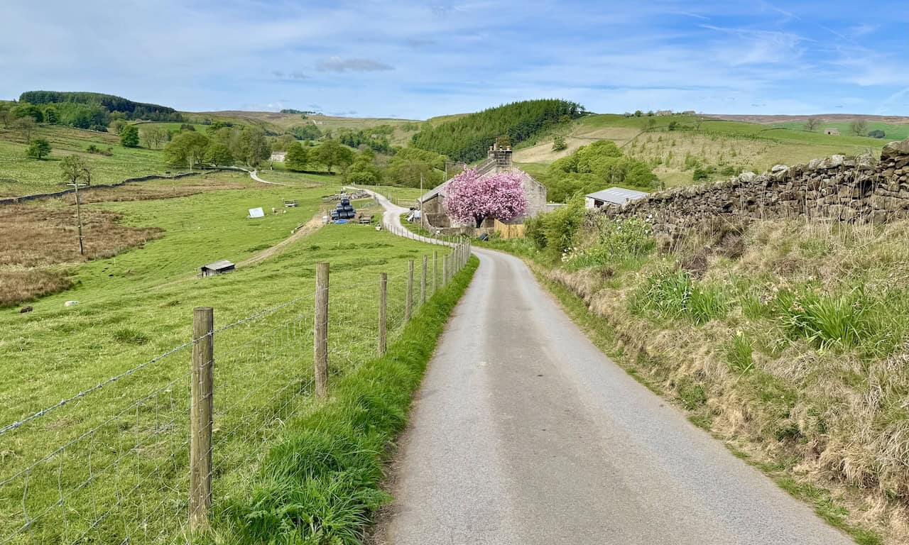
Middleham, Jervaulx Park and East Witton
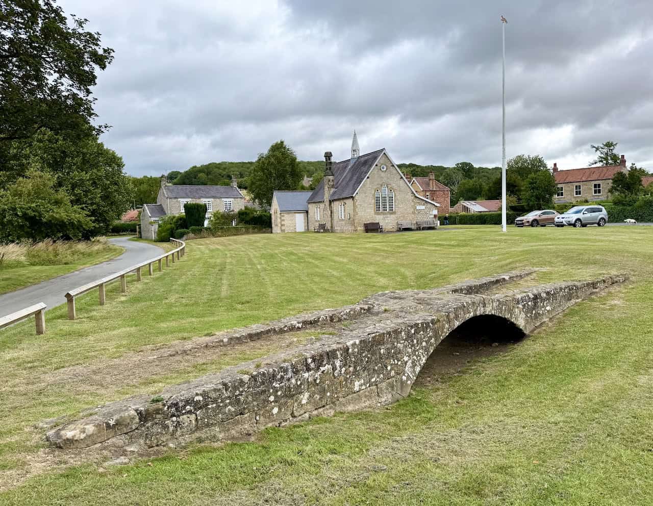
From Middleham’s Market Place and Swine Cross, pass Middleham Castle and William’s Hill to join the Six Dales Trail on Cover Banks. Keep close to the River Cover to the A6108 and the Cover Bridge Inn, then cross to the River Ure for a long, peaceful section. Enter Jervaulx Park near the tearooms, optionally detour to Jervaulx Abbey, then cross the park to climb fields and bridleways into Ellingstring. Descend by lanes and paths through Waterloo Farm to East Witton, then return by Hullo Bridge, a rising lane and the streets beneath the castle.
How This Fits into Classic North Yorkshire Walks
Twelve miles in around 5½ hours on generally good paths with occasional muddy patches and stiles. Landmarks include the castle, Jervaulx Park and Abbey, and wide pastoral views between the Cover and the Ure. Parking is free in Middleham Market Place, with mapping on OS Explorer 302. For North Yorkshire walks that blend heritage with easy countryside, this circuit is spot on.
Pateley Bridge Walk
Nidderdale Way, Lead-Mining Remains and Wath Mill
From the Nidderdale Agricultural Society car park by the Nidd, rise on signed paths to join the Nidderdale Way and the Industrial Heritage Trail. After Low Waite Farm the route becomes a wide stone track past Brandstone Dub Bridge, then drops to the Prosperous and Providence Lead Mines information board. Cross Ashfold Side Beck, follow the bridleway up the valley side, then branch from the tarmac to continue through fields to Heathfield. A minor road and stone track lead towards Spring Hill Farm and on to Wath and the riverside return.
Planning North Yorkshire Walks and What to Expect on This Route
About 8½ miles in roughly 4¼ hours on grassy paths, stone tracks, minor roads and riverside sections with some steeper banks. Woodland near Wath, historic mills, museum interest in Pateley Bridge and a calm finish beside the River Nidd give the day pleasing variety. Use OS Explorer 298 and start from the Agricultural Society car park. It is a good pick for North Yorkshire walks that mix scenery with industrial heritage.
Pen-y-ghent Walk
Steps to the Summit and a Classic Descent
From the YDNP car park in Horton in Ribblesdale, follow lanes past St Oswald’s and the old school to Brackenbottom and Dub Cote. Climb by paths and stone steps onto the ridge for a satisfying pull to the 694-metre summit of Pen-y-ghent, with views to Ingleborough and Whernside, then take the short out-and-back detour to the dramatic limestone hollow of Hull Pot.
What Makes This One of the Most Rewarding North Yorkshire Walks
About 7½ miles in around 4 hours, moderate to challenging, on quiet lanes, stone tracks, grassy paths and gravel with a light scramble over gritstone ledges that can be slippery when wet. Use OS Explorer OL2 and the Horton National Park car park with facilities. It remains one of the signature North Yorkshire walks for a compact mountain day.
ADVERTISEMENT
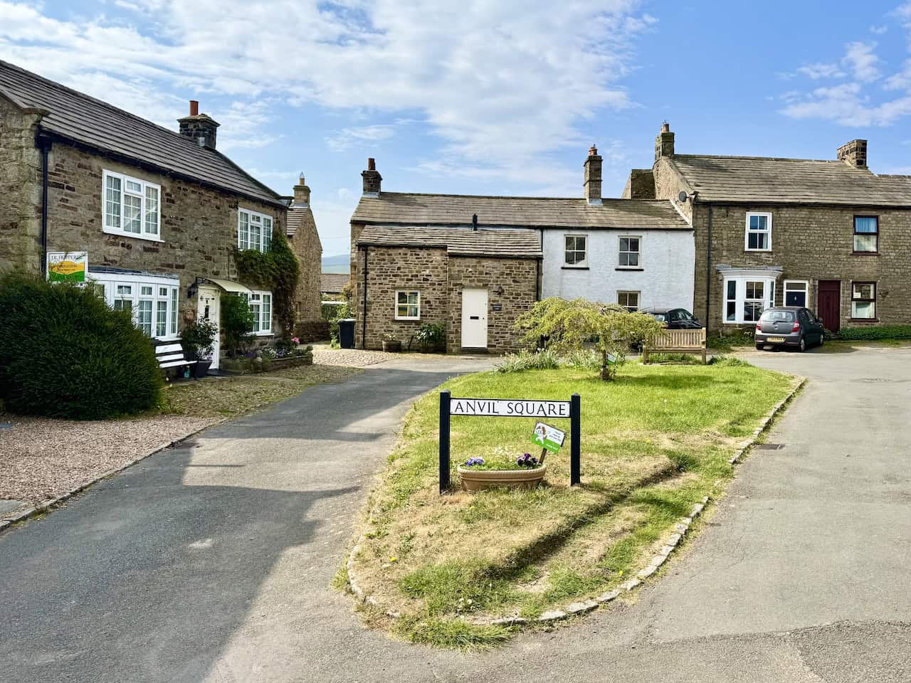
Swaledale Walk
Open Moorland and Riverside Meanders
From Reeth’s Anvil Square, descend to the River Swale, cross the metal Swing Bridge and climb to Harkerside and Whitaside Moor for wide views, passing a shooting lodge and the cairn at 459 metres. Old lead-mining remains dot the moor before you drop north-west to Bank Top House and the quiet waterfalls of Haverdale Beck. Pass the elegant Old Parsonage and Lawn House, then finish on a hedge-lined track for a lovely riverside run back towards Reeth with sweeping views to Calver Hill.
Why This Deserves a Place in Your North Yorkshire Walks List
The full route is 10¼ miles, around 5 hours, with about 430 metres of ascent largely gained early on. Expect tarmac links, grassy fields, open moorland tracks and riverside paths that may be uneven or muddy. Park in Reeth village centre and use OS Explorer OL30. If you enjoy North Yorkshire walks that balance upland airiness with easy riverside sections, this loop is a great fit.
Tupgill Park Walk
Wensley Bridge to Middleham and West Witton
Start at the large roadside car park by Wensley Bridge and follow the River Ure before turning to field paths and a blue-waymarked bridleway that climbs towards Middleham. Thread behind houses to St Mary and St Alkelda’s, continue through the churchyard to Market Place, then up to the castle and on to the Six Dales Trail at Cover Banks. Cross Middleham Low Moor beside the racehorse gallops, drop on bridleways and lanes into West Witton, then loop by field paths and riverside tracks back to Wensley.
Why This Route Works so Well for North Yorkshire Walks
About 11¼ miles in around 5 hours, mainly moderate field and moorland paths with gentle ascents and the odd indistinct section. Historic village centres, the castle, estate woodlands and long River Ure sections keep the day varied from start to finish. Use OS Explorer OL30 and park by Wensley Bridge on the A684. For North Yorkshire walks that link characterful villages without difficult navigation, this is spot on.
Wensleydale Walk
Waterfalls, Stepping Stones and Village Greens
From the east side of West Witton, drop to the River Ure for a tranquil stretch to Redmire Force, then continue through Cornlands Wood to the stepping stones. Cross Hestholme Bridge and track the river towards Aysgarth for views of Lower Force, pass St Andrew’s and climb to cross the A684. Field paths lead to Eshington Bridge and West Burton’s Cauldron Falls, after which the route returns by Temple Farm, the ruins of the Penhill Preceptory, Langthwaite Lane and Chantry Bank.
Tips for Enjoying North Yorkshire Walks on This Route
A 10½-mile, 5-hour day on well-defined field paths and tracks with riverside sections, steps and stiles, plus a longer woodland ascent. History is ever-present, from churches and lime-kiln remains to lead-mining traces. Use OS Explorer OL30 and roadside parking on West Witton’s eastern edge. As North Yorkshire walks go, it offers waterfalls, heritage and village charm in one outing.
ADVERTISEMENT
Wharfedale Walk
Riverside Paths to Starbotton and Kettlewell
From Buckden, form a neat figure-of-eight linking riverside paths and higher hillside tracks to Starbotton and Kettlewell. Expect stone barns and walls, easy stretches on the Dales Way and classic village scenes, including the old village stocks and memorial garden in Kettlewell, before a calm return beside the River Wharfe to Buckden.
Where This Sits among the Best North Yorkshire Walks
Nine and a half miles in about 4½ hours, moderate on well-defined footpaths and bridleways with occasional stiles and gates. Parking is in the Buckden pay-and-display behind the former St Michael’s School Room. Use OS Explorer OL30 for mapping. It is one of those North Yorkshire walks that feels leisurely yet scenic from start to finish.
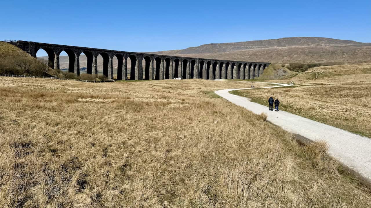
Whernside Walk
Ribblehead Viaduct and the High Top
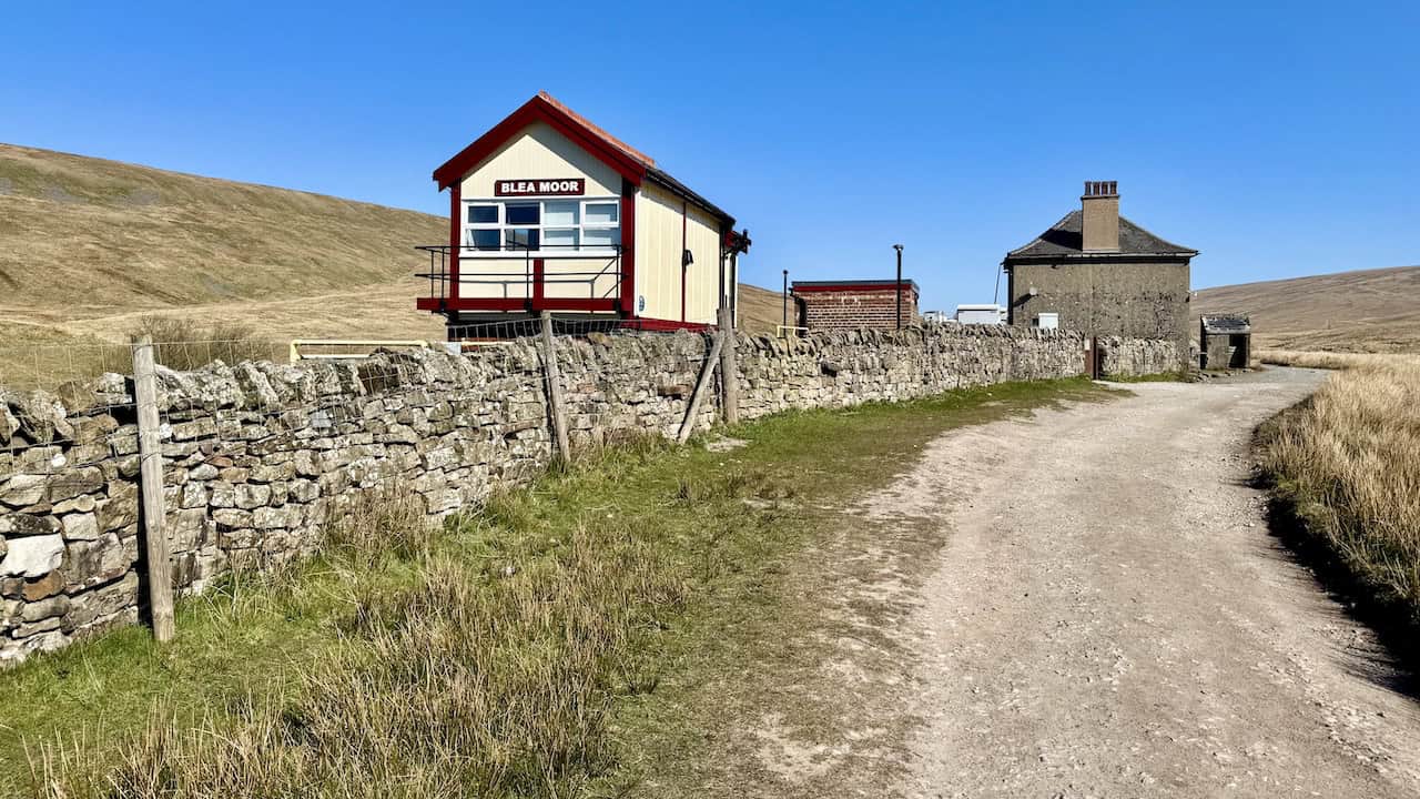
Set out near Ribblehead Viaduct, track the Settle–Carlisle line past Force Gill Aqueduct and the Blea Moor Signal Box, then climb on clear paths over Craven Wold to reach the long crest of Whernside, highest of the Three Peaks. The descent is steeper and stonier, looping back beneath the arches for a grand finale. A shorter, well-marked 8-mile variant is also described in the PDF.
Highlights for Fans of North Yorkshire Walks
Ten miles in around 5¼ hours, fairly challenging, on stony tracks, grassy bridleways and uneven upland paths. Expect a steady rocky ascent, a potentially slippery descent after rain and expansive views across Deepdale, Dentdale and, on clear days, towards the Howgills. Mapping is OS Explorer OL2 with roadside parking on the B6255 near the viaduct. It remains one of the most satisfying North Yorkshire walks for a high, open day on good paths.
Related Post: North Yorkshire Circular Walks
Detailed routes and free PDFs for 50 North Yorkshire circular walks
ADVERTISEMENT